About
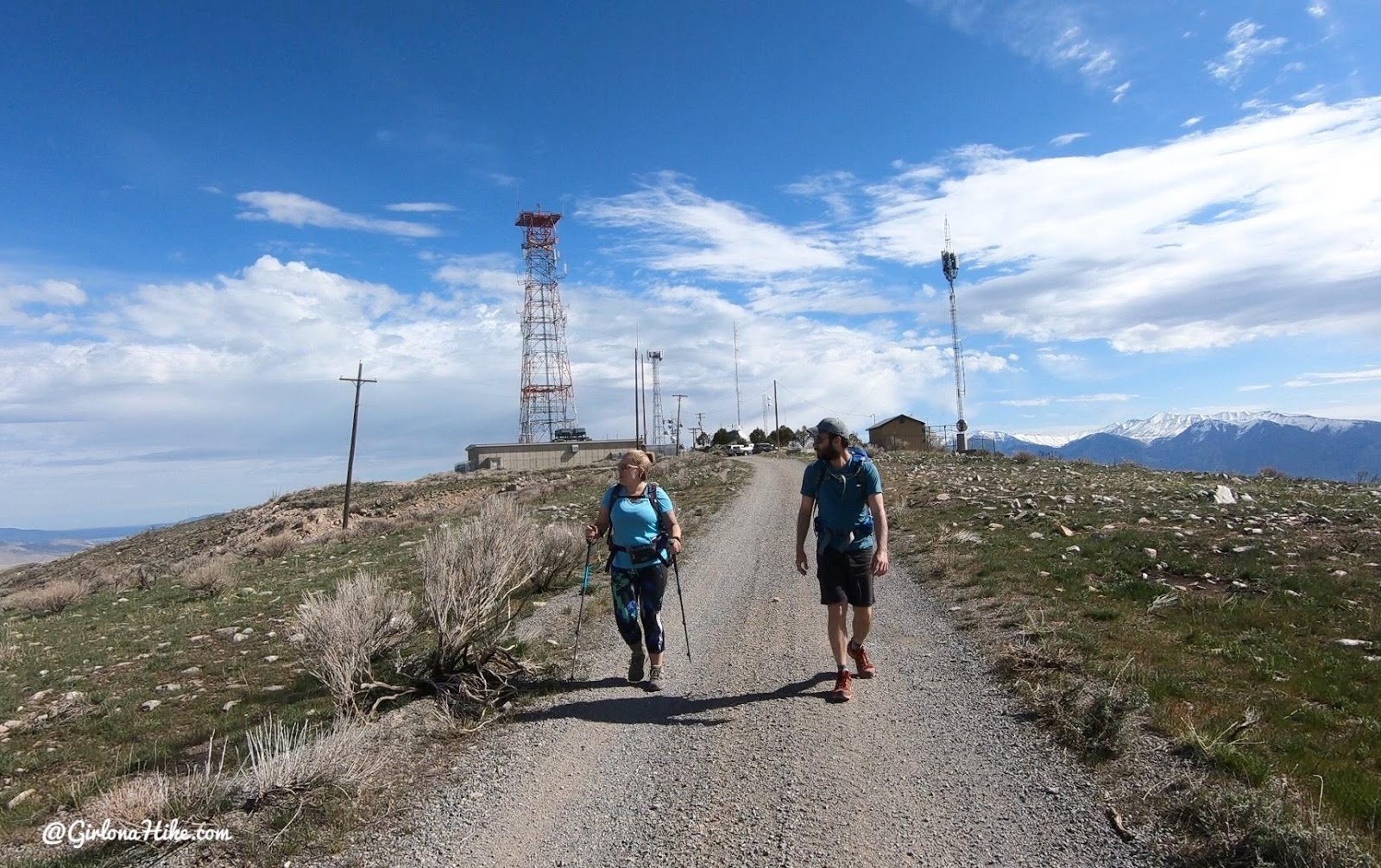
There are several routes you can take but the easiest is to simply follow the ridge from the radio towers. You can drive all the way to the towers, then hike 2.8 miles to the true summit of the range. This mountain offers amazing views of Utah Lake, and the Wasatch 7 Peaks! But be careful – there is target shooting all around the base of this mountain so wear bright colors, and make sure you dog also wears a hunting vest, such as the Ruffwear Track Jacket (this is what Charlie wears).
Directions
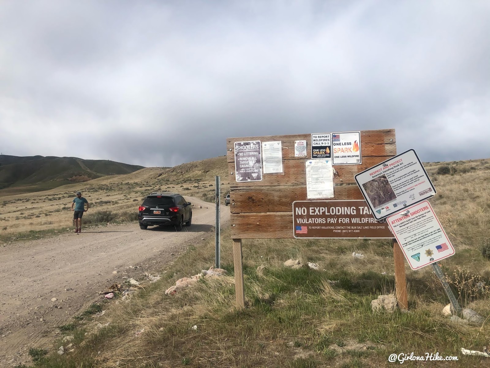
Head south on I-15 and take exit 253, turn right at the bottom of the ramp. Turn right on 3200 West. Left at the next stop sign, 7300 S Street. In 3 miles, turn right on S 5600 W Street (right as the road curves left, you want to turn right). The road turns left again on W 7200 S, then right S 6000 W. At the stop sign, turn left on W 6400 S, then right on Lincoln Beach Rd. Reset your odometer right as you turn on this curved section of road – drive 1.7 miles then turn left onto the dirt road. There are several dirt road turn-offs so make sure you drive the full 1.7 miles. From here follow the dirt road all the way to the radio towers, another 15-20 minute drive. You’ll quickly drive by this sign. Here is a driving map.
4×4 isn’t required, but a small car would also be very uncomfortable on this road. An SUV or larger is best. Park at the top by the radio towers. Drive time from the Spanish Fork area to the towers is about 1 hour.
Trail Info
Distance: 6 miles RT
Elevation gain: 500 ft (but both ways, so really 1k)
Time: 2-4 hours
Dog friendly? Yes, off leash (but wear hunter orange)
Kid friendly? Yes, for older kids
Fees/Permits? None
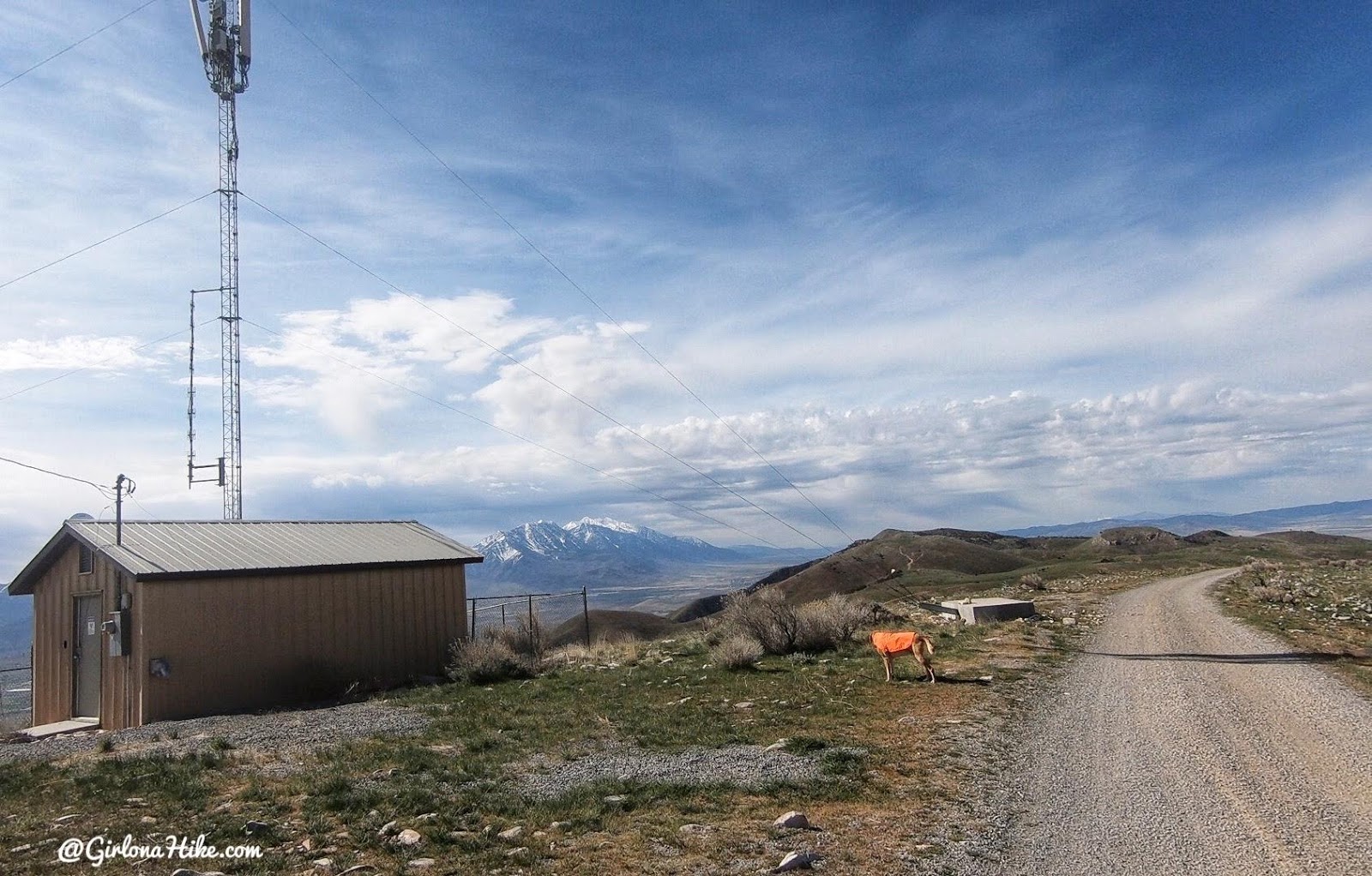
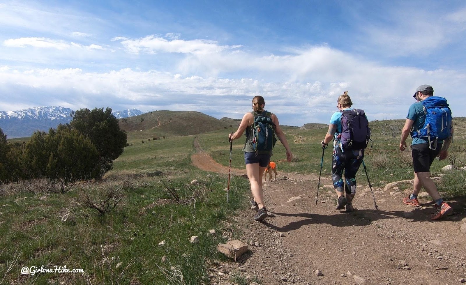
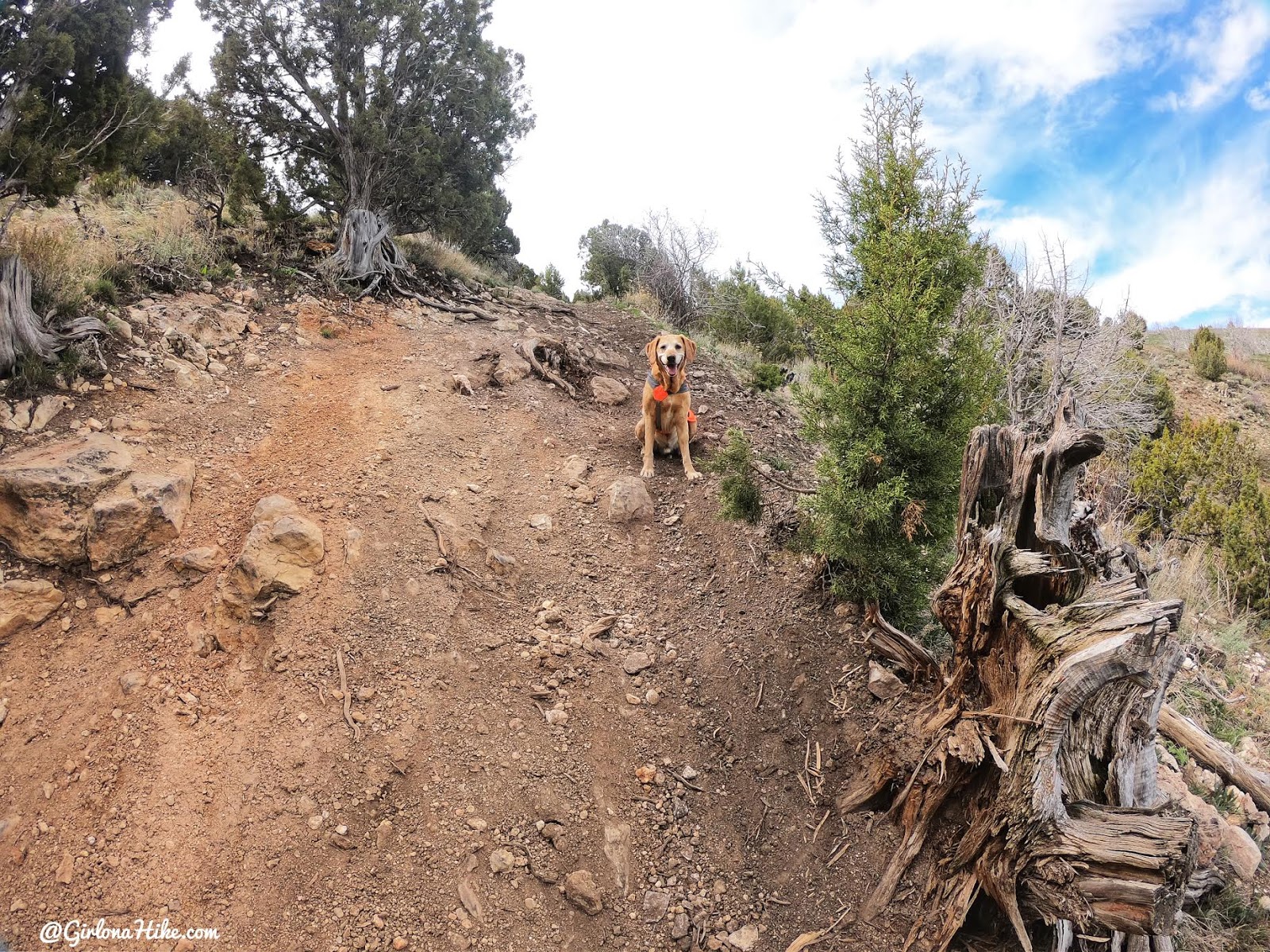
We parked right at the radio towers, then started hiking South along the ridge following the ATV road.
Cloud cover to start which made it feel cool, but it sure warmed up fast!
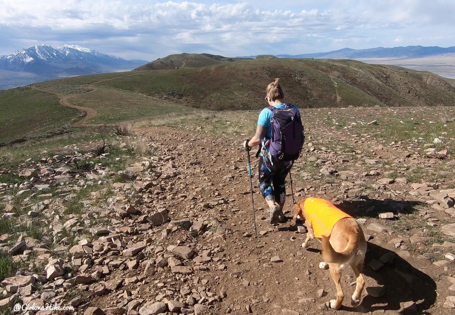
You can clearly see the trail the entire way. Don’t forget that you will have to hike up all this on the way back!
The mountain was so green in April! We even say three types of wildflowers.
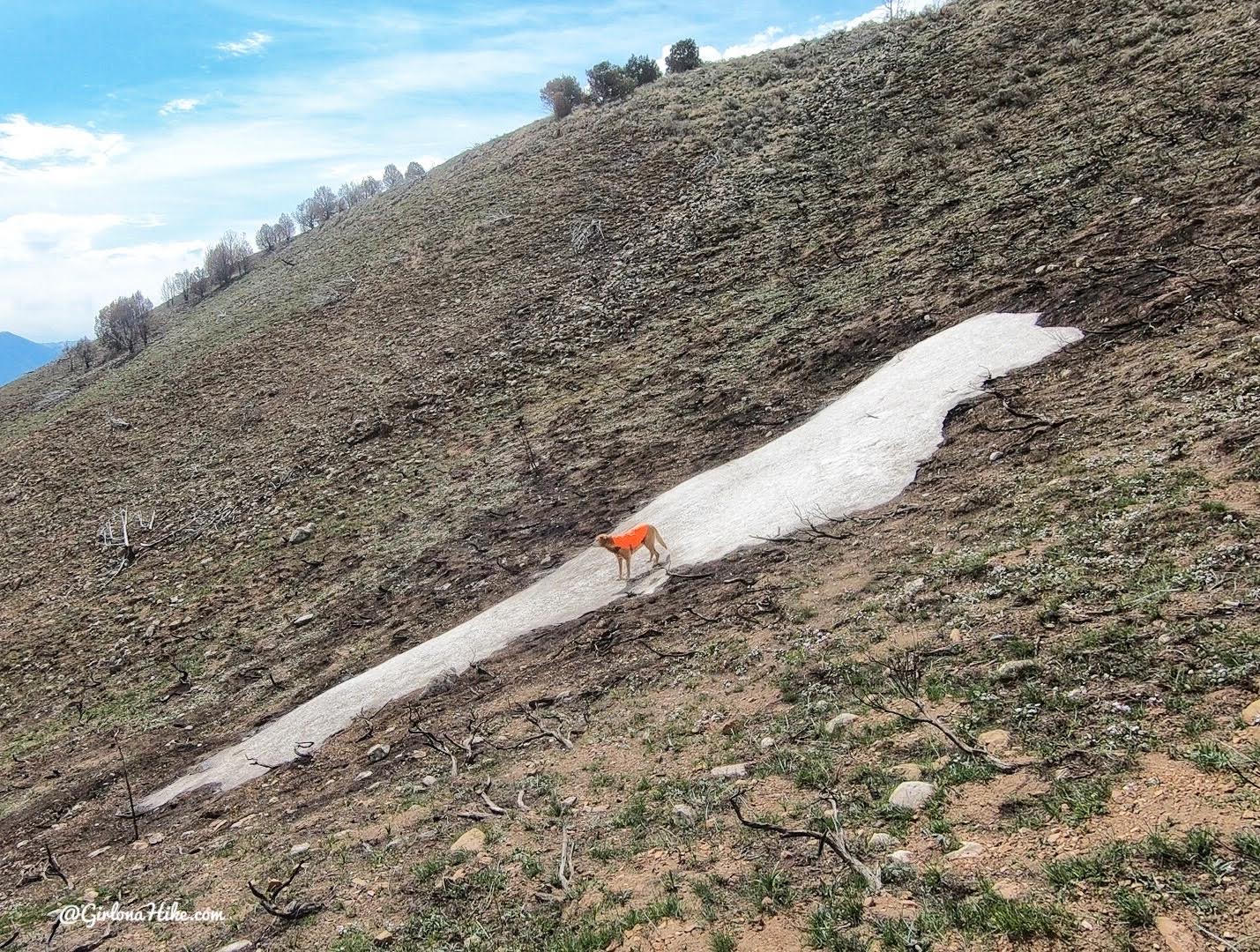
Ahh, one patch of snow left – Charlie’s favorite!
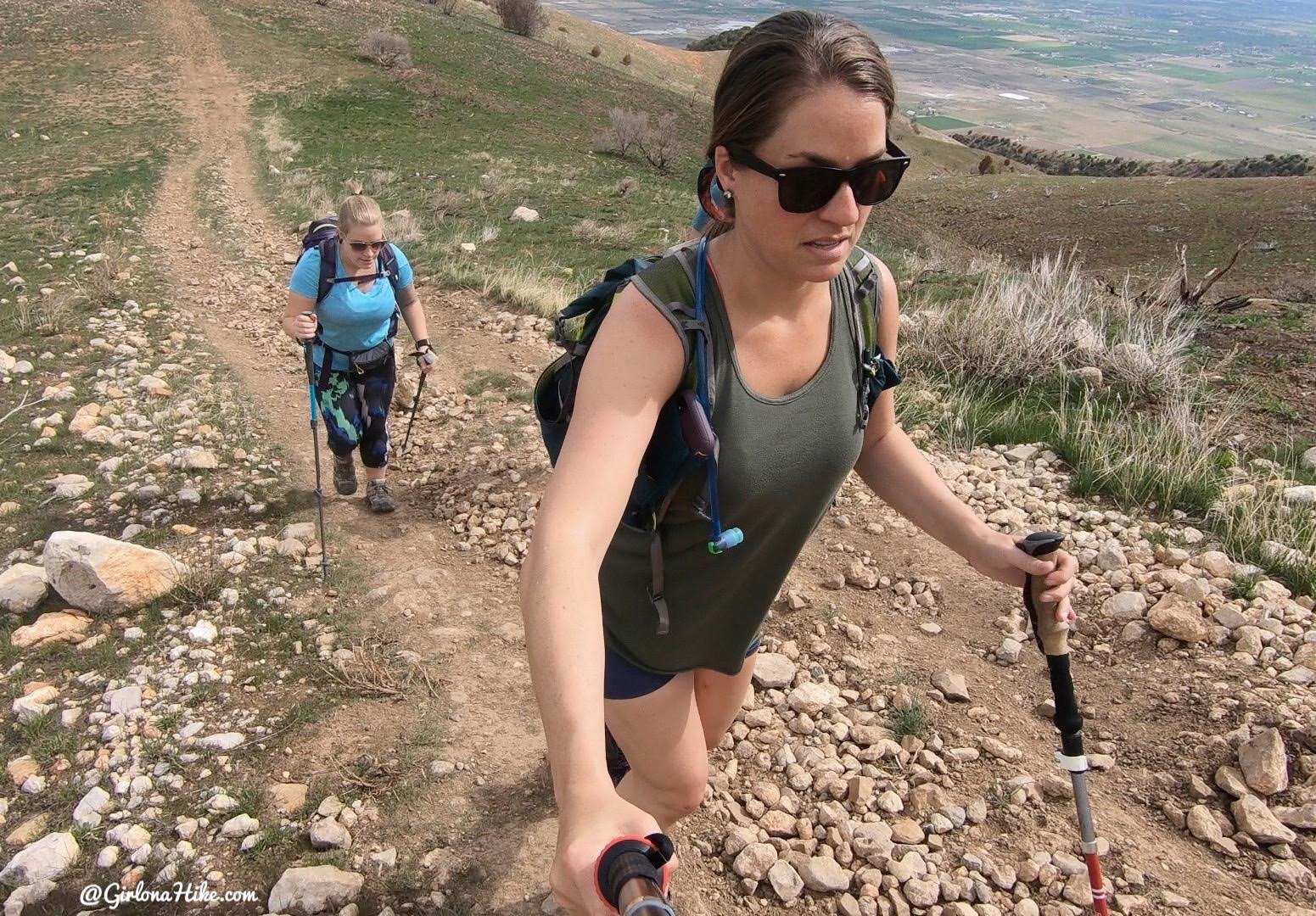
That is the face of, ‘Ugh, a steep hill again!” There are really only two sections are are pretty steep, but they are short-lived.
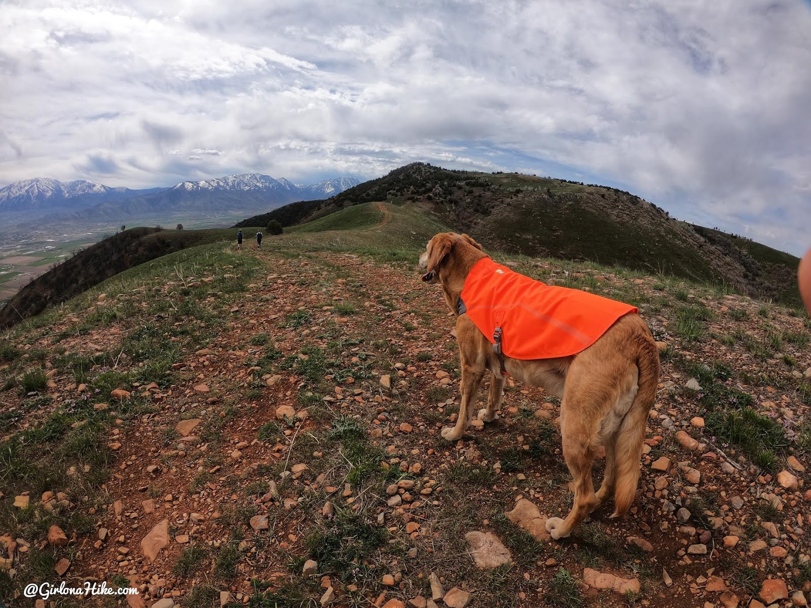
At the top of the first big hill, Charlie takes in his view. From here, we could clearly see the summit!
The second big hill thankfully has trees nearby if you get too hot.
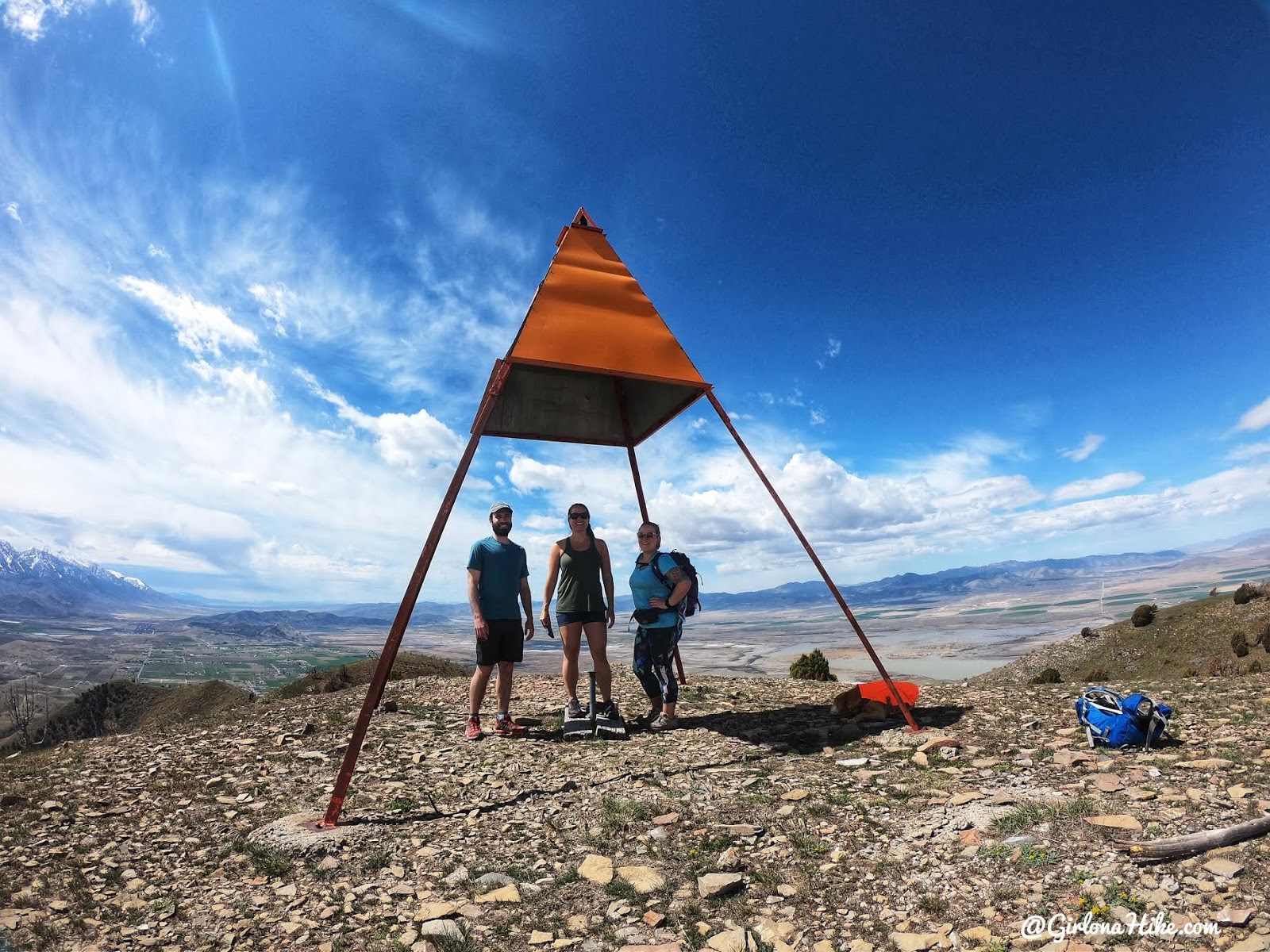
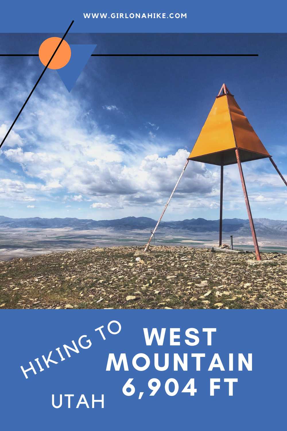
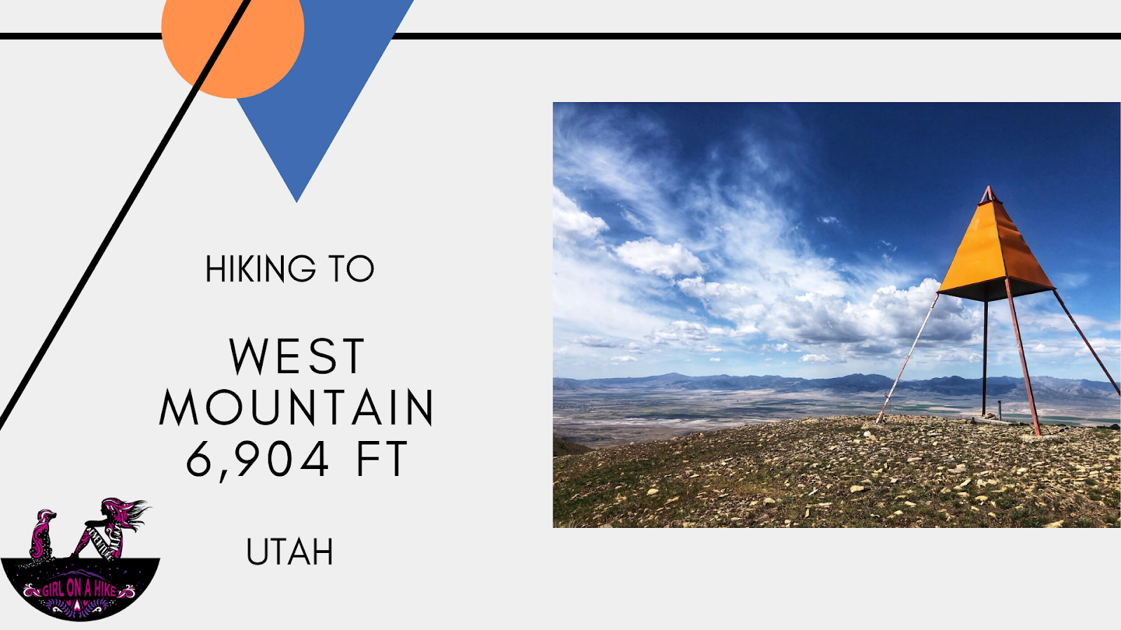
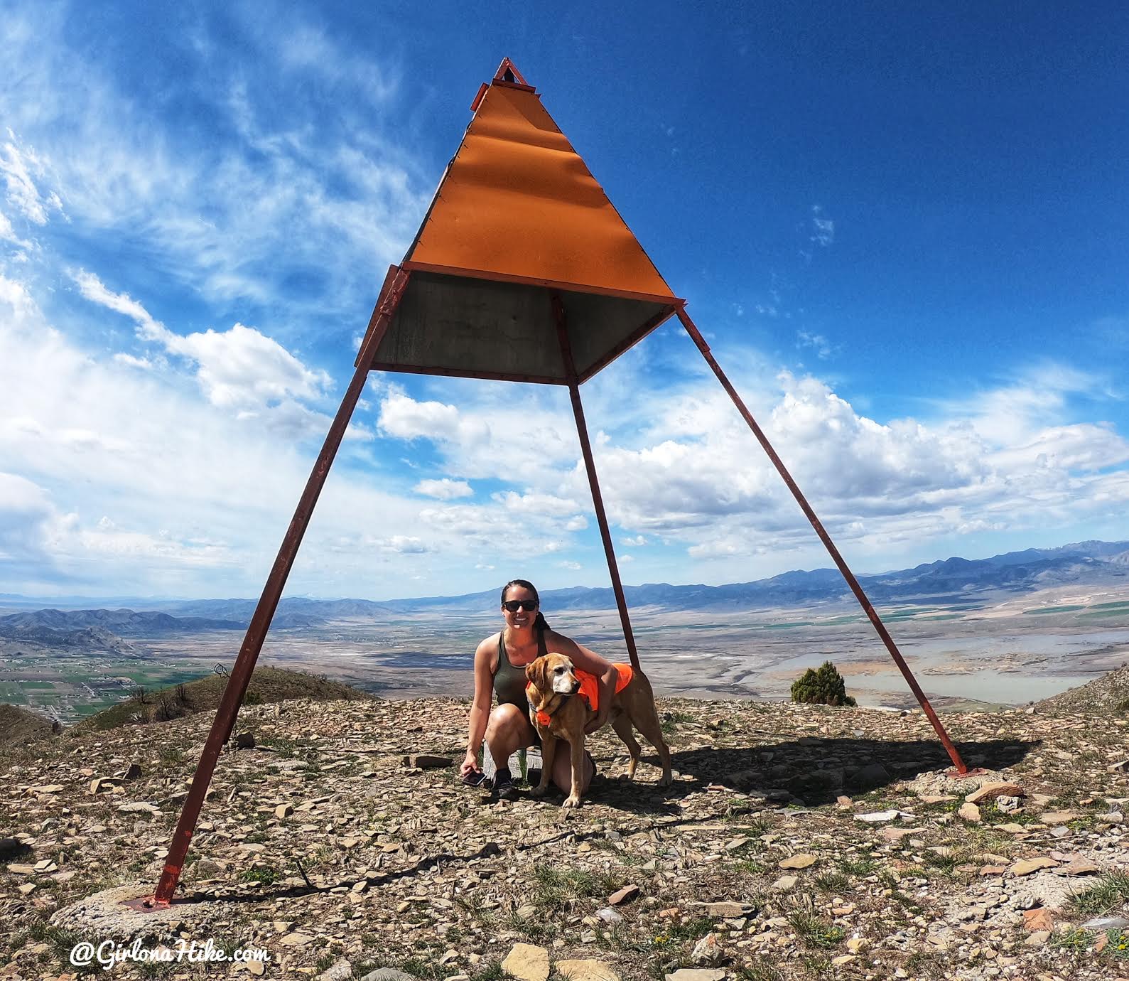
We made it to the summit in 1 hour 15 minutes hiking at a casual pace. This type of tower is called a “Triangulation Tower” – you can learn more about them here. You’ll see these on a lot of Utah peaks.
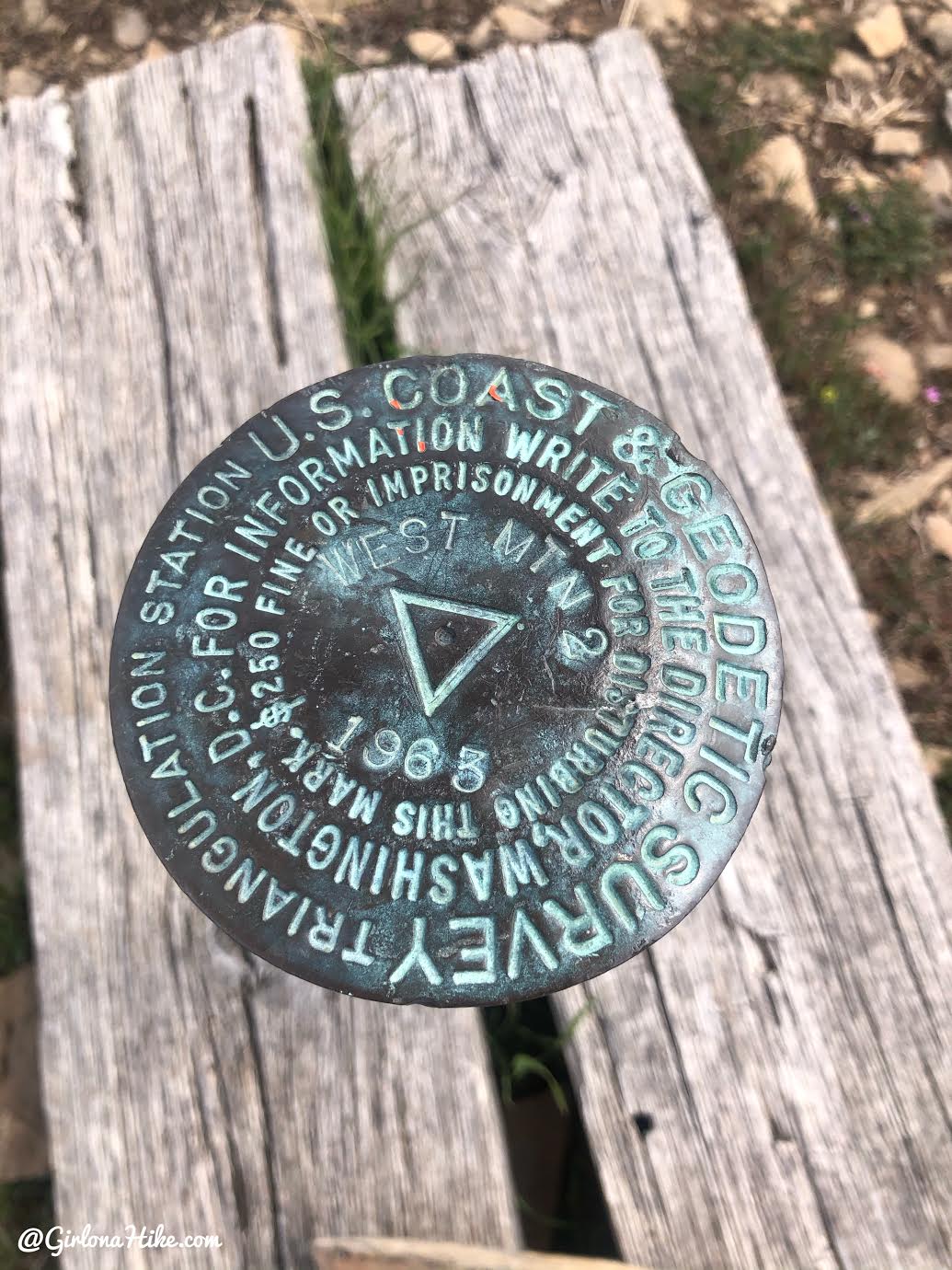
Official summit marker. This summit didn’t have a register to write your name down, sadly. Maybe the next person who hikes it wants to bring up a piece of tupperware and paper/pen?!
Another successful summit – be sure to record your peaks on PeakBagger.com!
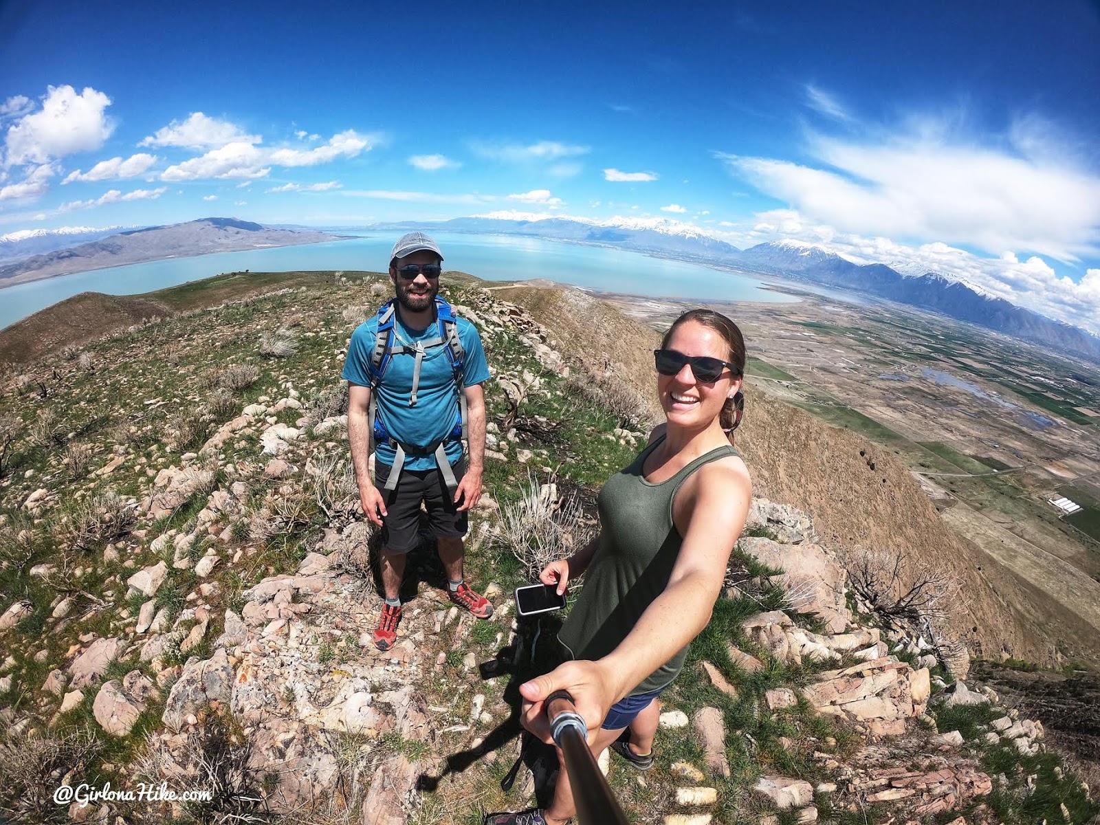
After we got back to the cars David and I “bagged” West Mountain North Peak – a whole 5 minute walk from the car haha but it sure made for a nice photo with Utah Lake below! What a great day!
Check out my video!
Trail Map
My track via Gaia GPS – the best tracking app! Get your app here for a discount.
Nearby Hike

Save me on Pinterest!