ut
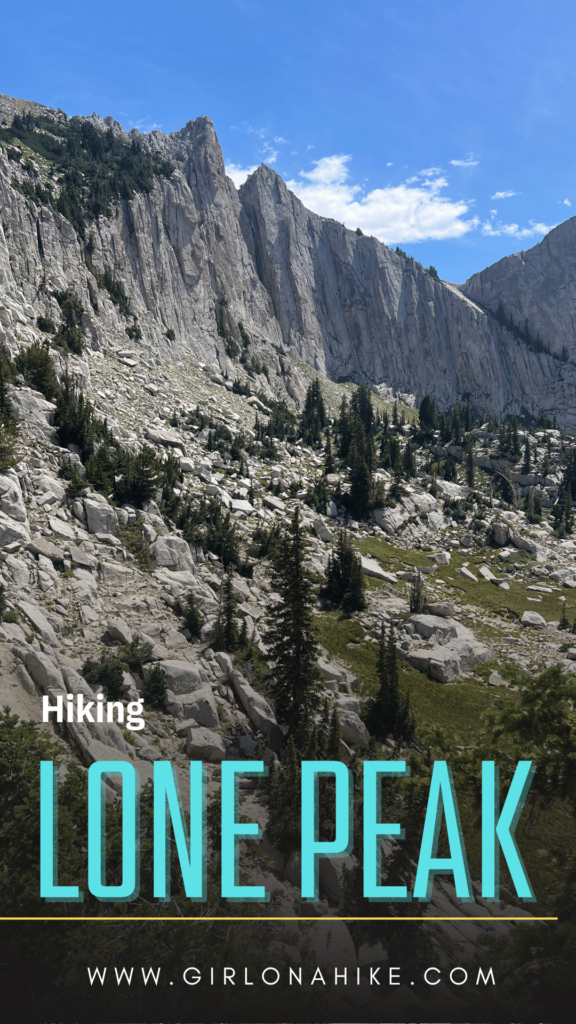
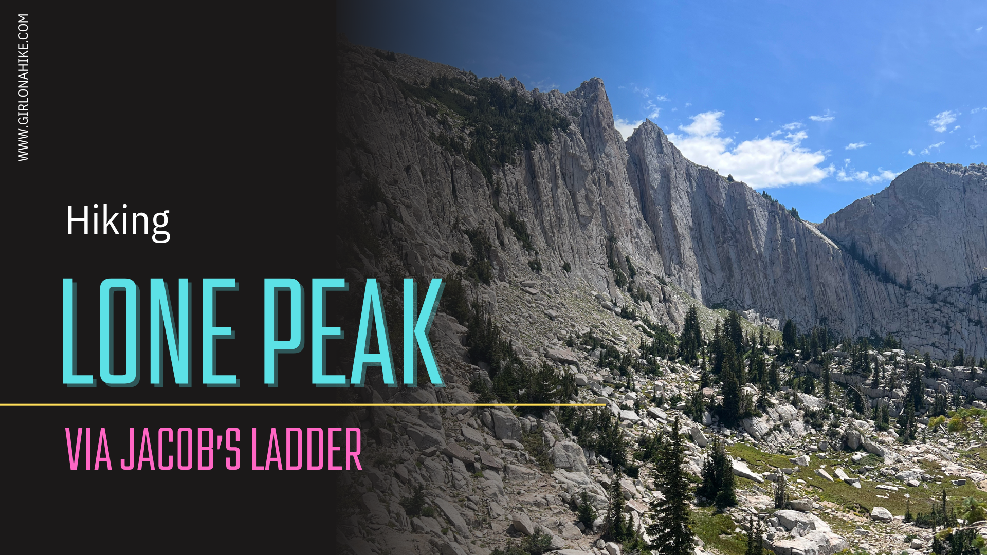
Hiking Lone Peak via Jacob’s Ladder is a full day adventure to 11,076 ft! Rated as one of the hardest hikes in the Wasatch Mountains, this hike is sure to give you a great workout.
About
On a clear day, the magnificent Lone Peak can be seen from 100 miles away, making it a breathtaking sight for all who behold it. Hiking to the summit of Lone Peak is considered a rite of passage for many outdoor enthusiasts, particularly those who are passionate about peak bagging. While Lone Peak may not be among Utah’s eight Ultra Prominence Peaks, it holds an impressive rank of 98th on the list of Utah Peaks with 500 feet of prominence and is proudly featured on the list of the Wasatch 11ers, peaks rising above 11,000 feet.
This exhilarating hike is a true adventure, demanding thorough preparation and resilience to tackle any weather conditions. It is an all-day endeavor that requires determination and stamina.
However, the effort is undoubtedly rewarding, as Lone Peak offers one of the most spectacular 360-degree views in the region.
You can hike to Lone Peak from five different routes.
1. The Cherry Canyon Logging Trail
The Cherry Canyon Logging Trail offers a year-round spring and directly leads you to the Outlaw Cabin. It starts from the Orson Smith Park/Trailhead. The trail is very scenic and alternates between exposed and shaded areas.
2. Jacob’s Ladder Trail
This is the most popular route to Lone Peak, and is the shortest route, and also the route that starts the highest up in elevation. This has the most switchbacks. This trail is the route I will be describing below.
3. Trail of the Eagle
This is the newest route to Lone Peak, which leads you to the peak via the Little Willow Drainage. It’s the least scenic of all the routes, very overgrown, but it is an option.
4. The Schoolhouse Springs Trail
The route climbs up a south facing slope, so temperatures can get hot during the Summer months. The trail starts from the small town of Alpine, Utah.
5. Bells Canyon Trail
This route leads you past Bell’s Canyon Waterfall, past the upper reservoir, and leads you to find your own route to the summit of Lone Peak. This is the longest route of all the options, but incredibly scenic.
Directions
It’s easiest to type in “Peak View Trailhead” into Google Maps and have it guide you. It’s a large parking lot with restrooms.
Trail Info
Distance: 15.5 miles RT
Elevation gain: 5,800 ft
Time: 10-14 hours
Dog friendly? No, dogs are not allowed on the trail at all due to watershed boundaries
Kid friendly? No
Fees/Permits? None
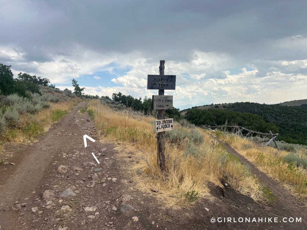
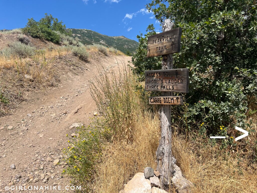
Start by hiking behind the gate in the parking lot and follow signs for Jacob’s Ladder. I’m only posting the photos where the trail signs seemed a little confusing. You can see the arrows point straight but its unclear which way is straight lol! Stay left.
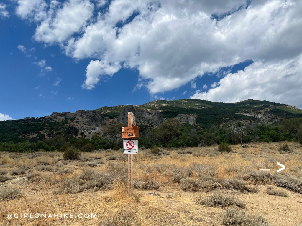
The second confusing sign is this one. Another arrow pointing straight but you need to stay right!
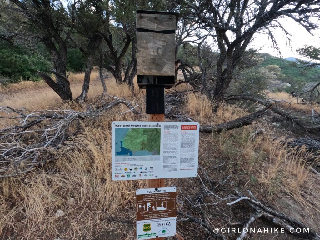
And the third confusing sign which shows the arrows going both directions. Stay right again. At the next obvious sign, stay left.
You should now be on the right path hiking Lone Peak via Jacob’s Ladder. Time to being the endless switchbacks! The first several switchbacks are in the low shrub with a little shade.
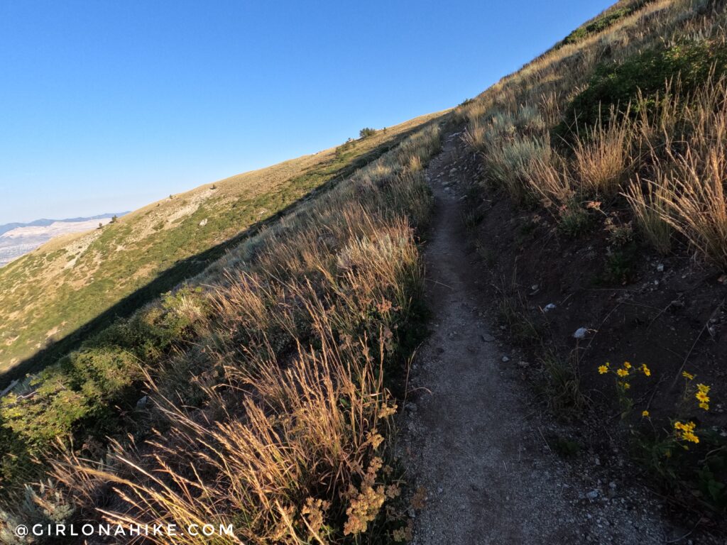
As you hike higher, the shrubs clear and you start to get good views of the area.
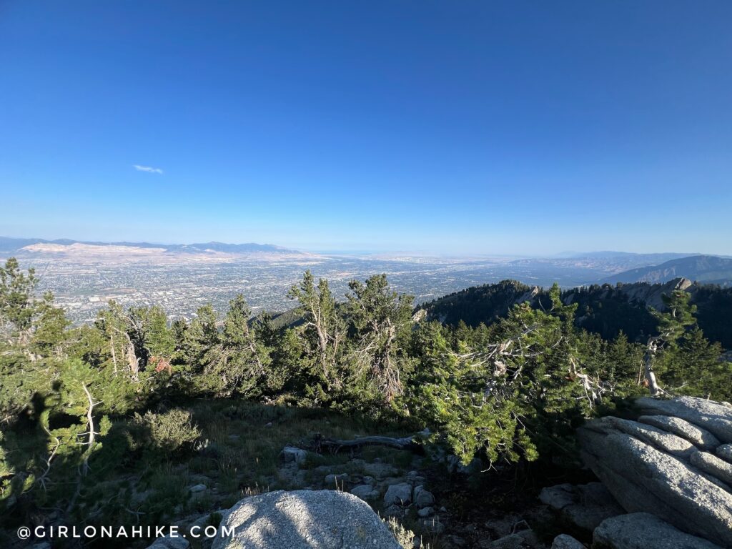
On the way to Lone Peak, its a nice detour to stop by Ennis Peak. On a clear day you can see so far! This day was slightly smokey.
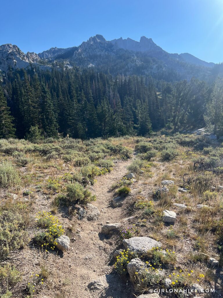
After hiking down Ennis Peak, you will drop down slightly before the next uphill section.
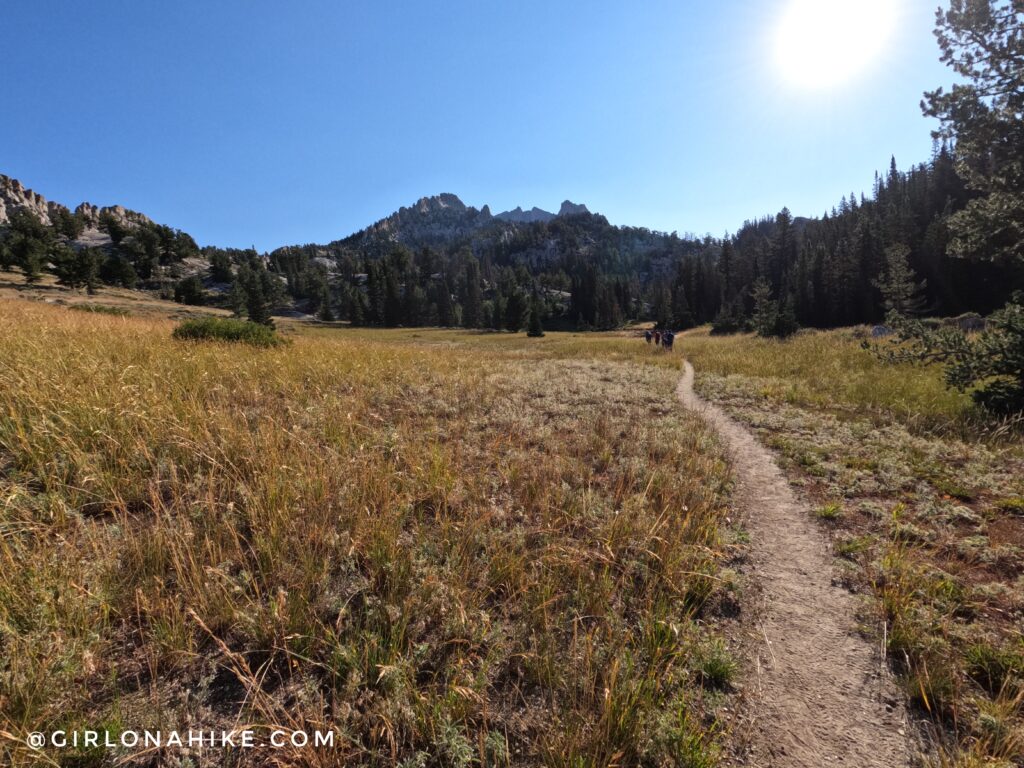
The first open meadow was really pretty! You can see Lone Peak in the distance! You will hike back into the trees for another steep section.
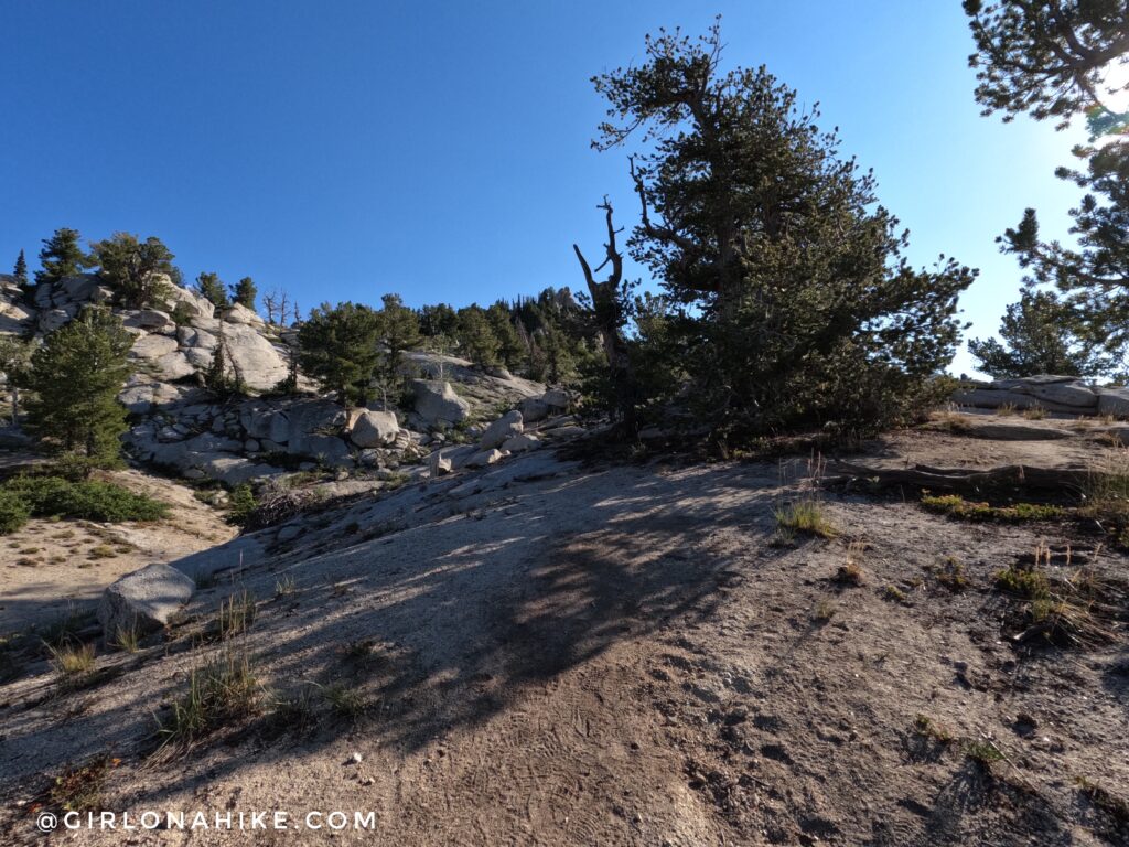
Sometimes it seems like you can’t really see the trail, so keep an eye out for cairns and footprints. Make sure you have the route downloaded for offline use so you can see where to go as well. I use Gaia GPS – it’s the best tracking app! Get your app here for a discount.
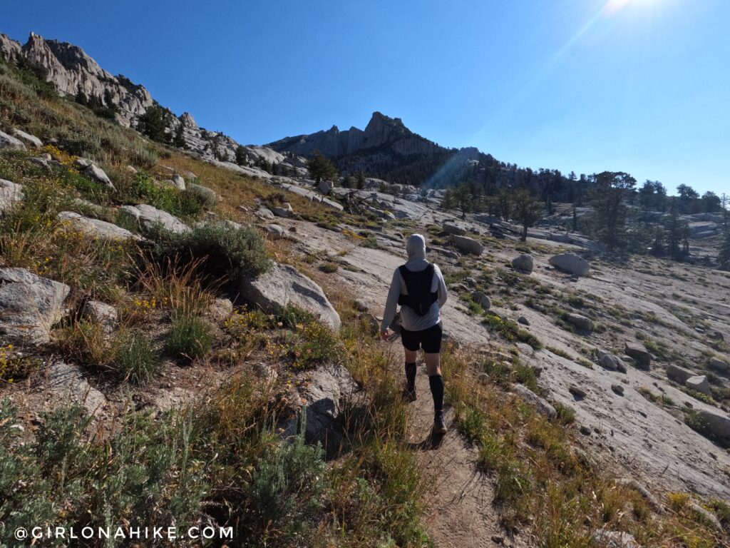
Sometimes there was a really good, clear trail, and other times not.
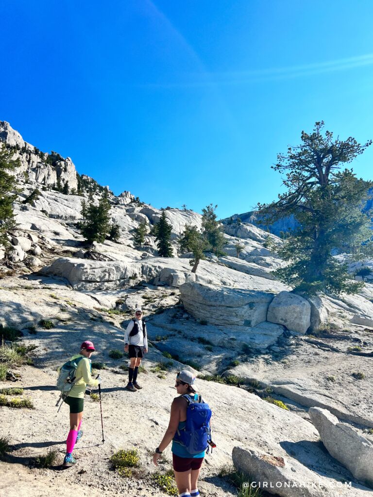
Weaving our way though all the boulders!
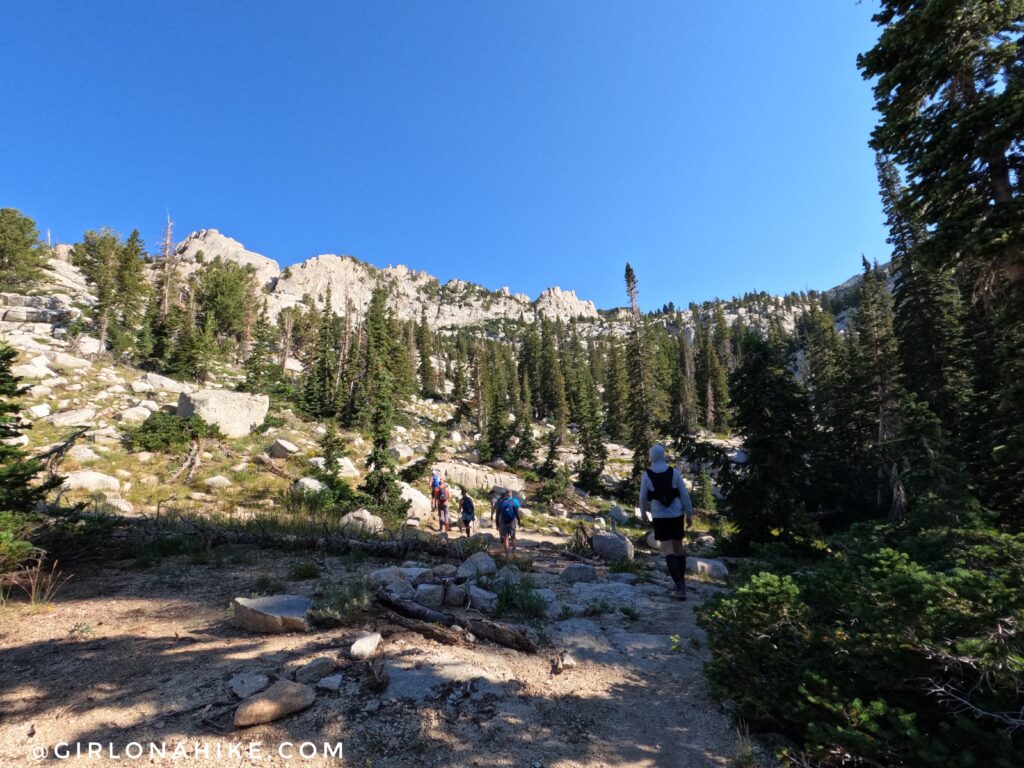
We kept leap frogging another hiking group, but sometimes it was nice to just follow them.
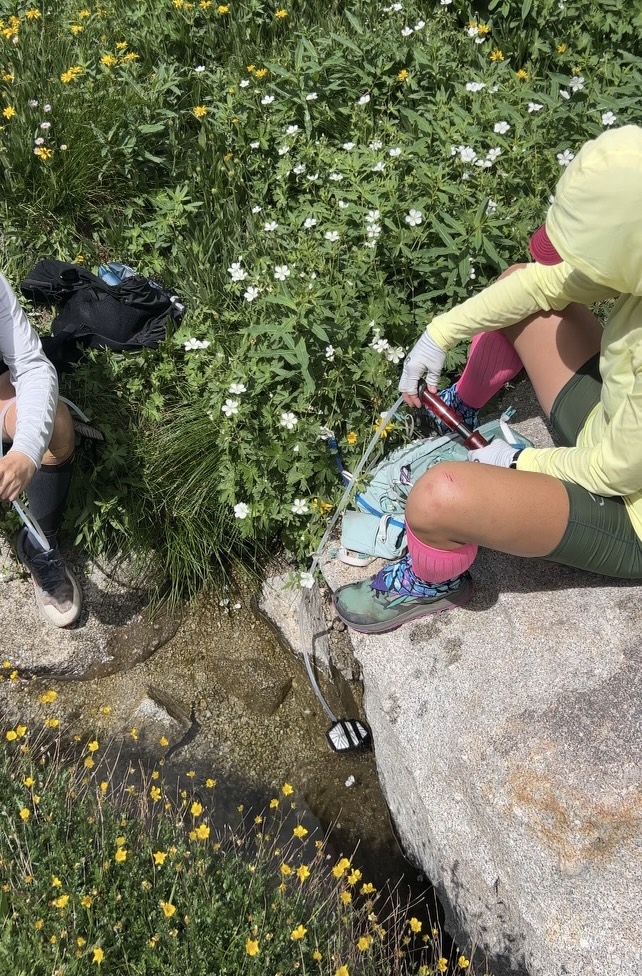
On the hike back down we stopped to filter water. In August there was only one tiny spring with clear water we felt safe to filter from (see map below). Both Jon and I have the MSR Hyperflow and it’s amazing – great for long day hikes/runs.
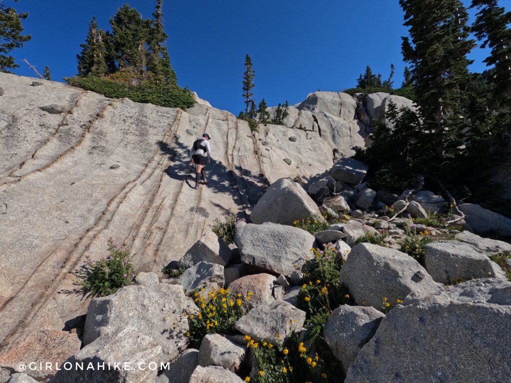
Jon leads the way up a steep, boulder field.
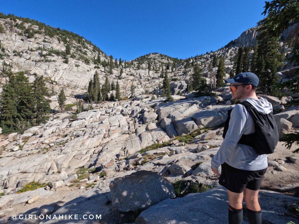
From here, head straight across and to the right.
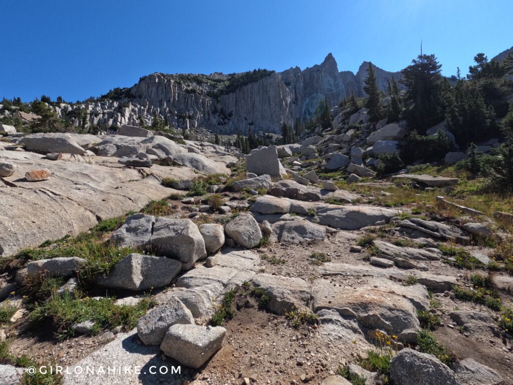
You’ll finally approach the Lone Peak Cirque!
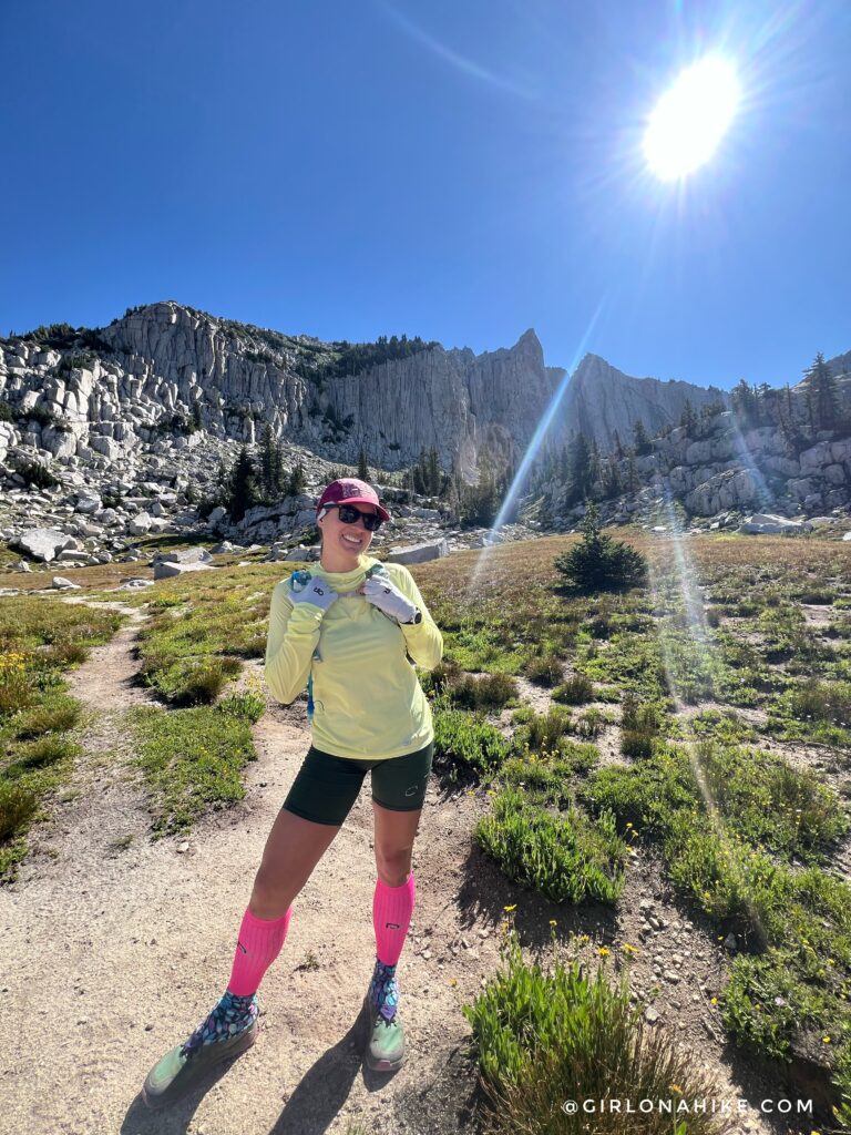
This is a great spot for photos! From here, you’ll hike towards the chute to the left. Cairns should lead the way. Compression socks will help you not be so sore after the hike and also help you recover faster! I use them on all my big hikes/runs.
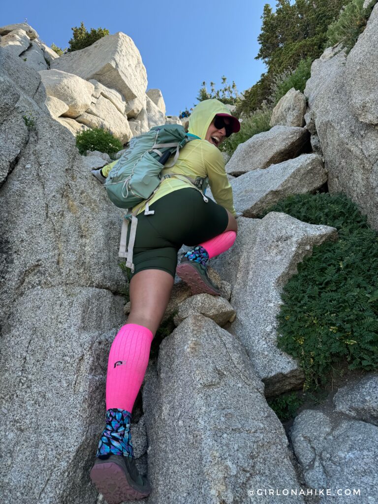
You’ll need to use all fours here to climb up the chute.
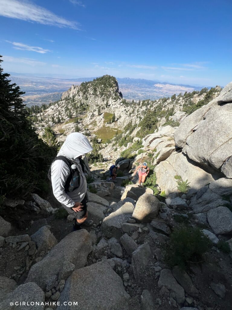
The rest of the crew hikes up the chute next.
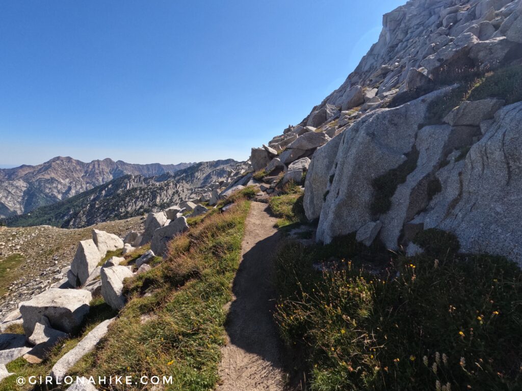
Once at the top, you’ll see another really good trail that leads to the ridge.
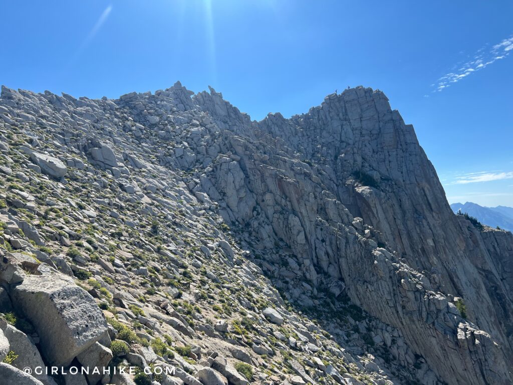
Now you should have a great view of Lone Peak! You can see two people up there already. Now make the scramble over to the summit.
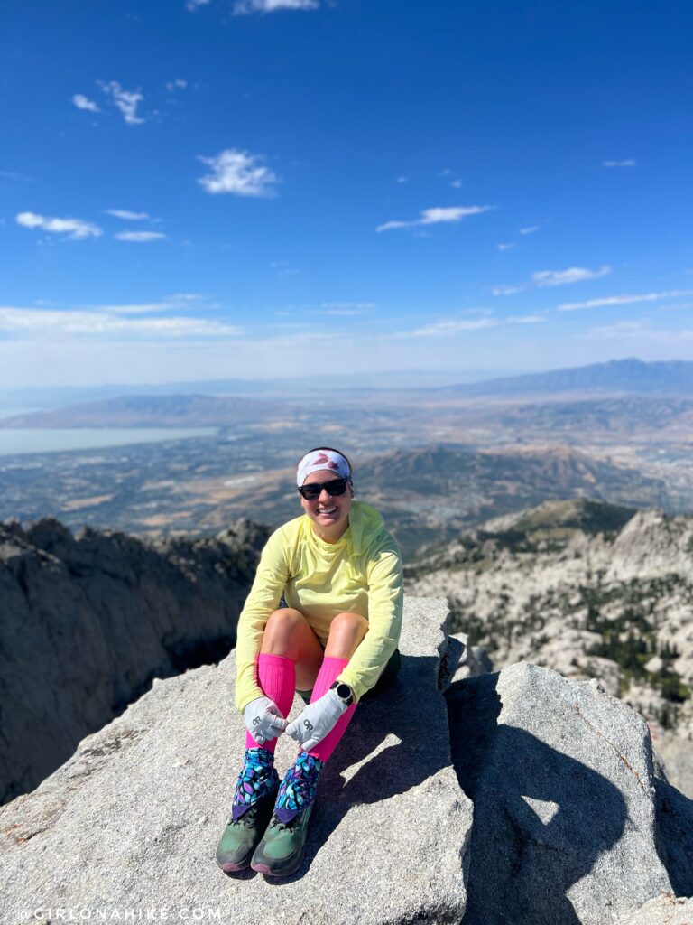
Whew! I had a little bit of a rough day. I started out not feeling like my normal self and ended up having an asthma attack in the scramble section, but was able to regain myself and with the help of Jon leading the way, I was able to make it!
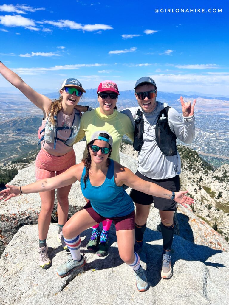
Even though I had a little bit of a struggle it was a great day to be out with friends!
Trail Map
My track via Gaia GPS – the best tracking app! Get your app here for a discount.
Nearby Hike
Hiking to Lake Hardy, Lone Peak Wilderness

Save me on Pinterest!
