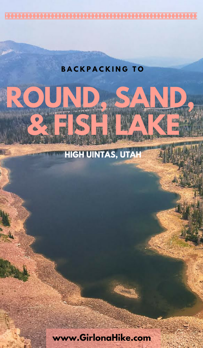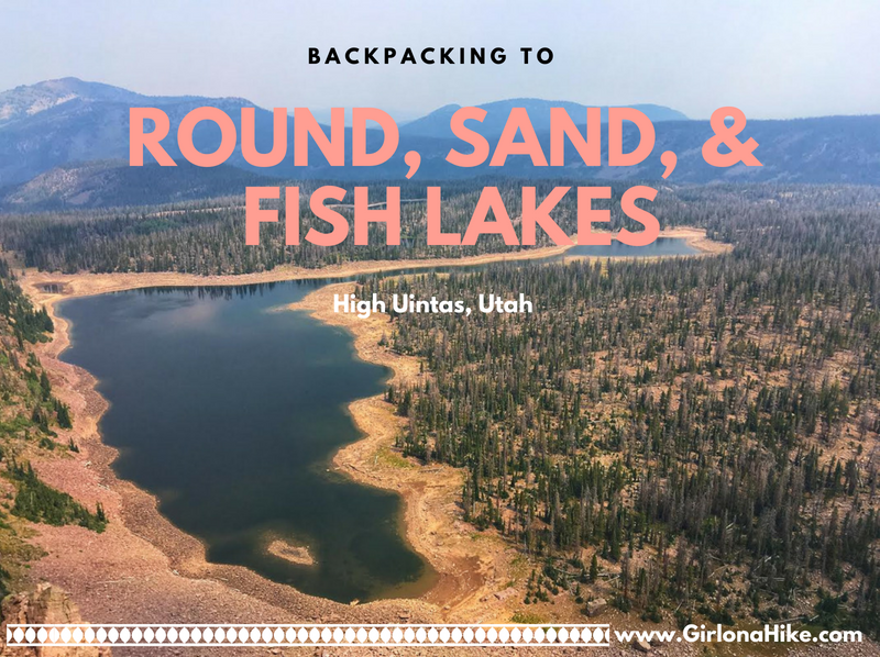

Backpacking to Round, Sand, and Fish Lakes are part of the upper Weber River drainage on the Western end of the Uinta Mountains. The trail steeply follows the Dry Fork stream and canyon, as it makes it way to the three lakes. Camping and fishing are plentiful here. Round Lake is actually home to three species of fish (somewhat unheard of in the Uintas, as there are typically only two species in the lakes). There are Grayling, Brook, and Cutthroat Trout. Further ahead is Fish Lake, which can vary in depth by 19 feet, depending on the snow year and dam levels. Plenty of day hiking options are available too, as most day hikers try to reach the ridge for better views. This route is kid and dog friendly!
Directions
From SLC, head East on I-80, then south on HWY 40. Take exit 4 and turn left towards Kamas, UT. Drive about 2 miles, then turn left on Brown’s Canyon Road. When you reach HWY 32, turn right thought Peoa, UT. Turn left at the Road Island Diner along HWY 32 (they have great milkshakes!). You’ll end up driving past the Smith & Moorehouse Reservoir, straight along a well-graded dirt road. Once you drive under the gate just past the Smith & Moorehouse turn off, drive 7.1 miles until you see the Dry Fork TH on your left. Roughly 7-8 cars can park here. Total mileage from the Road Island Diner to the TH is 18.8 miles. Even small cars can drive on the dirt road – I drove a Honda Civic and had no issues.
Here is a driving map.
Trail Info
Distance:
3.6 miles to Round Lake
3.8 miles to Sand Lake
4 miles to Fish Lake
Elevation gain: 1,900 ft to Round Lake
Time: 2-3 hours
Dog friendly? Yes, off leash
Kid friendly? Yes, though it may be too steep for younger kids
Fees/Permits? None
Day 1
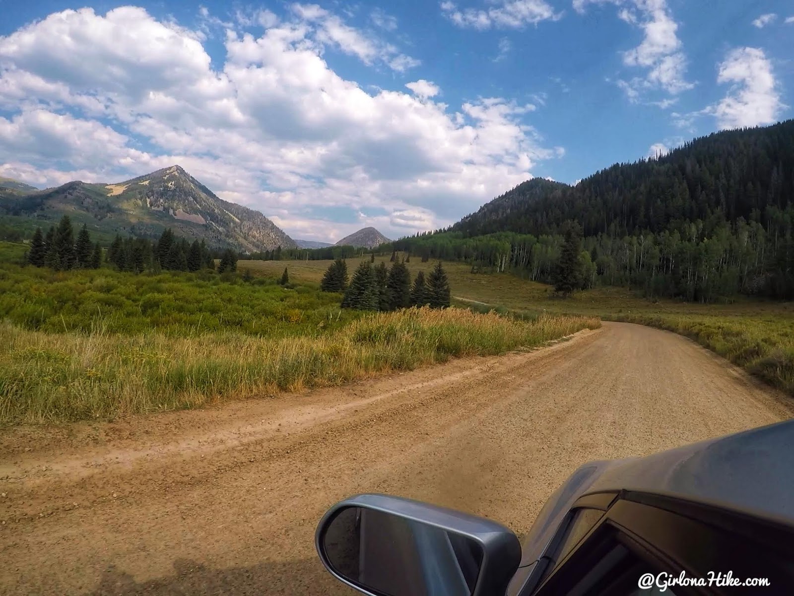
I left work early so that I could be to the TH by 5pm, and the lighting was so pretty! I don’t usually hike in right after work, I wait until early Saturday morning, but because I knew the distance was so short I felt comfortable going at that time. I wanted to make sure I got to camp before dark so I could find my friend.
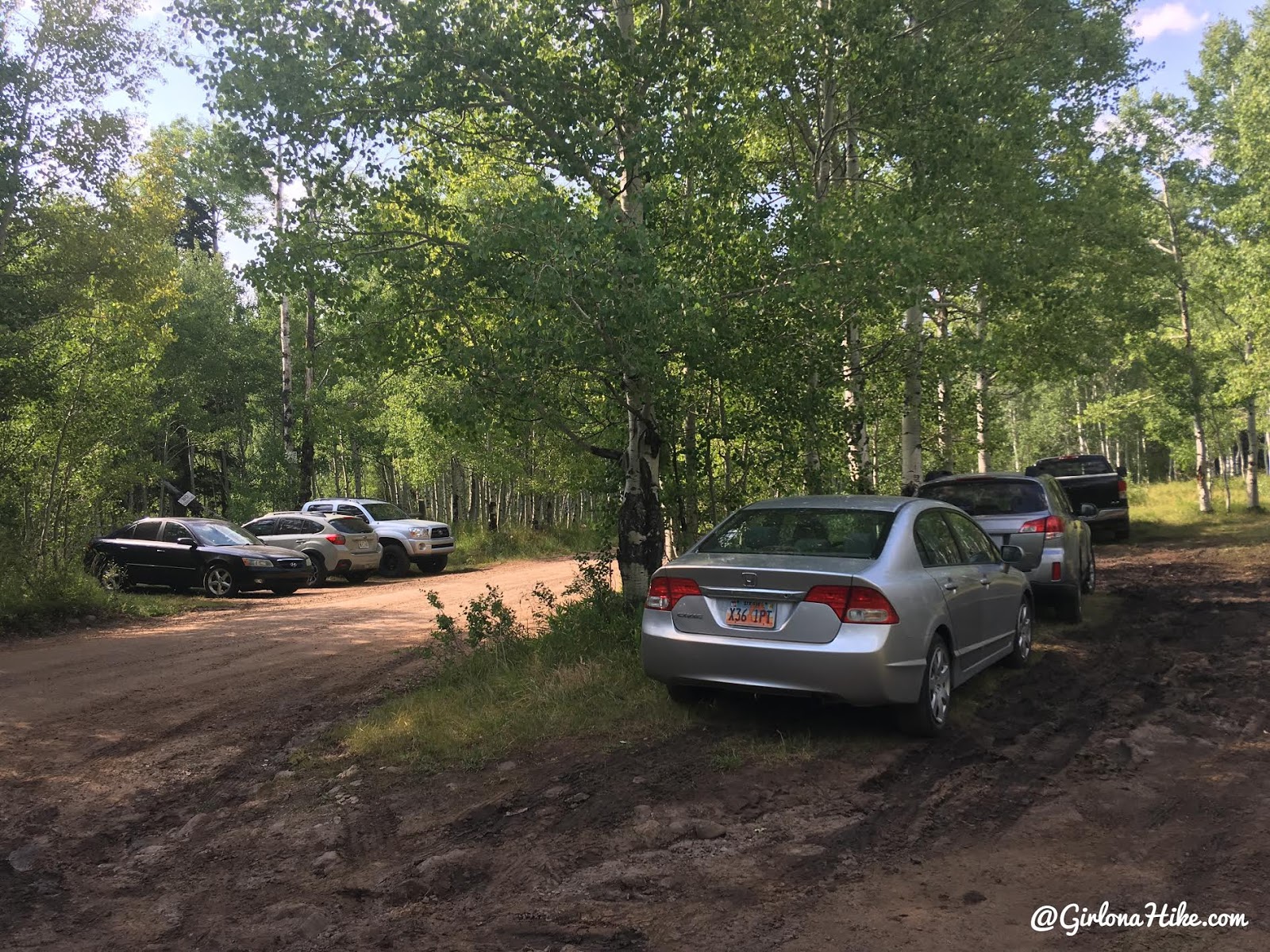
Parking for the trail.
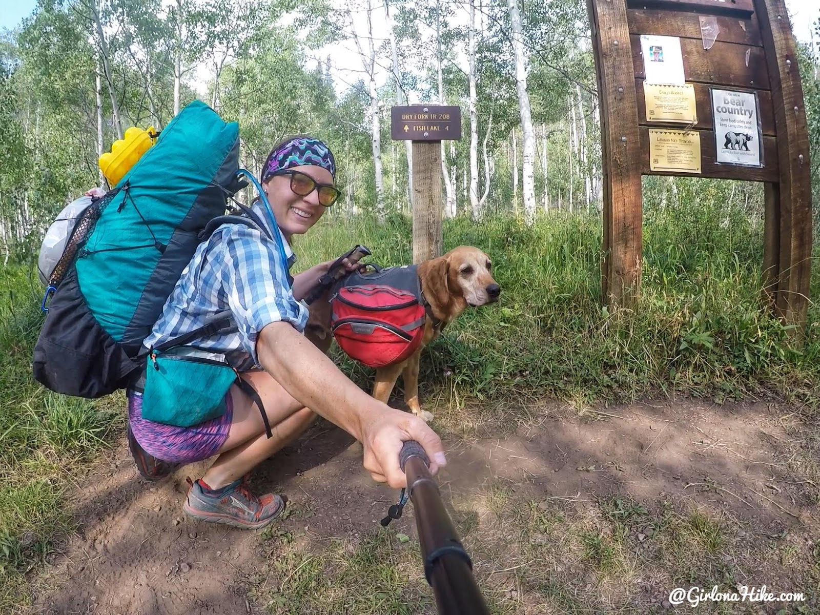
Ready to go! Charlie and I haven’t backpacked solo in awhile so it was nice for it to just be us.
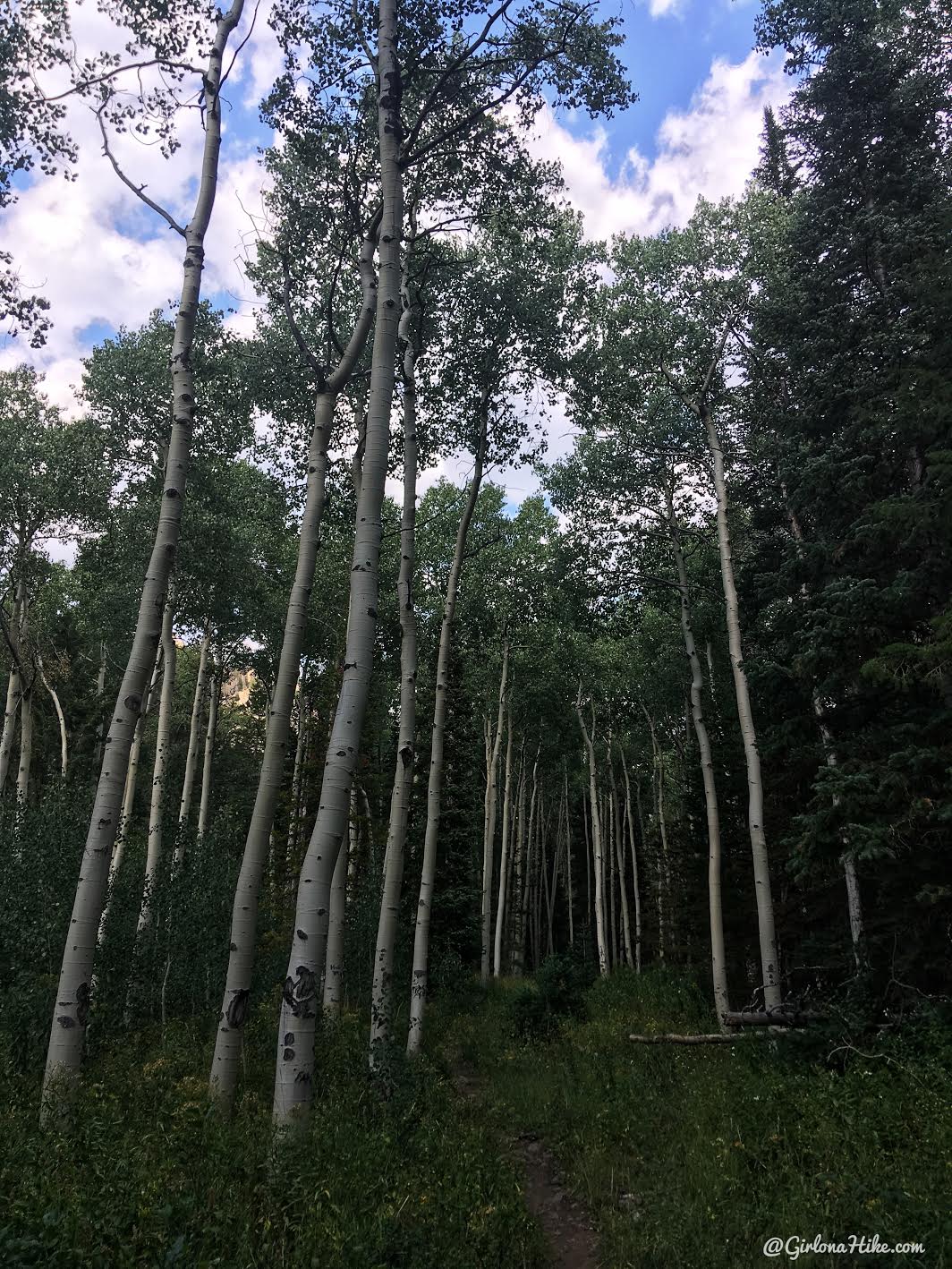
Starting out, the Aspen trees were immediately so tall.
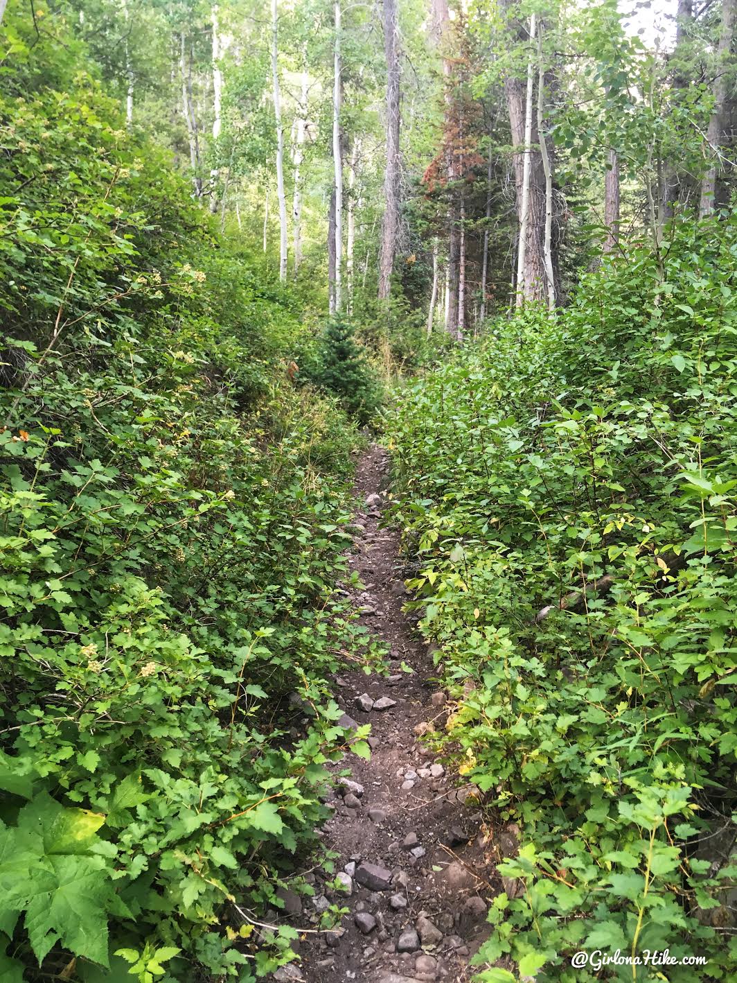
You’ll cross the creek within 10 minutes of hiking, then quickly be back on the trail. I was amazed at how green it was!
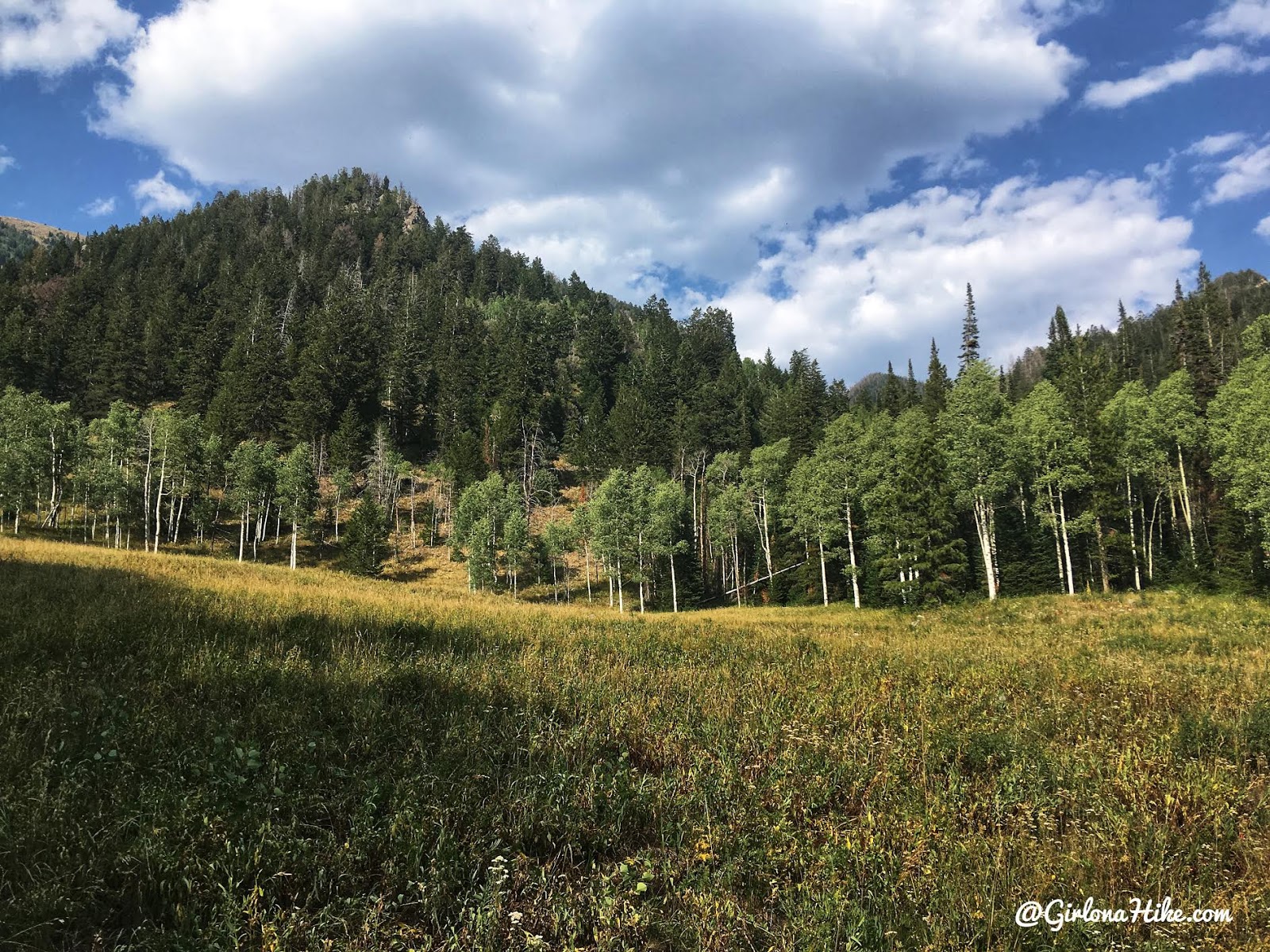
Passing by an open meadow on the left side of the trail.
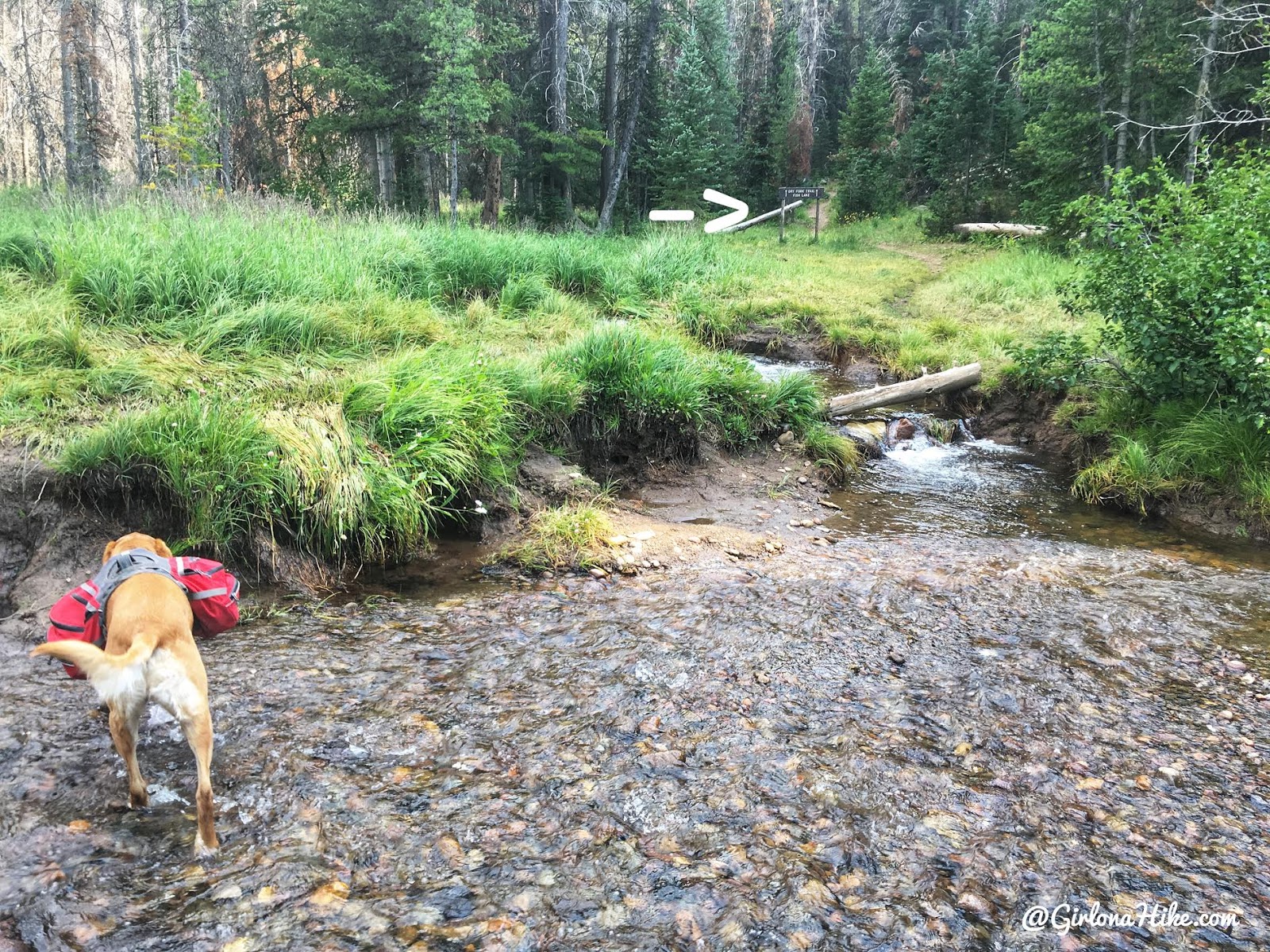
At 1.3 miles you’ll cross the creek again, and make sure you cross is where the brown sign is across the way. The river was low enough that I didn’t have to switch into sandals.
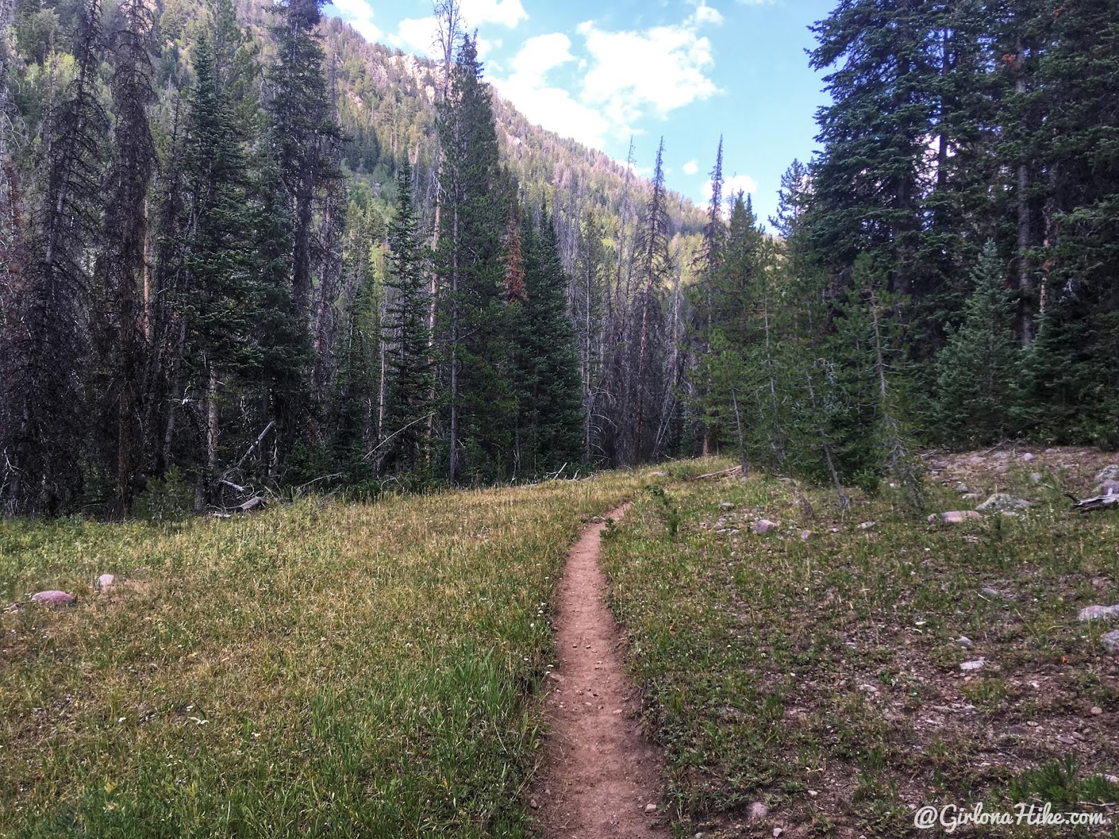
The trail is pretty mellow for the first 1.5 miles.
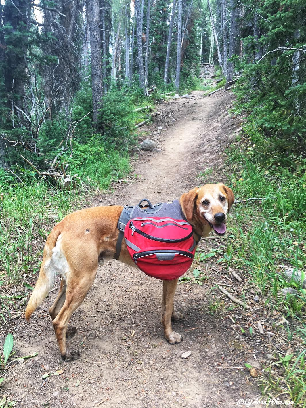
Then the elevation comes…and from here on out it’s pretty steep and very rocky.
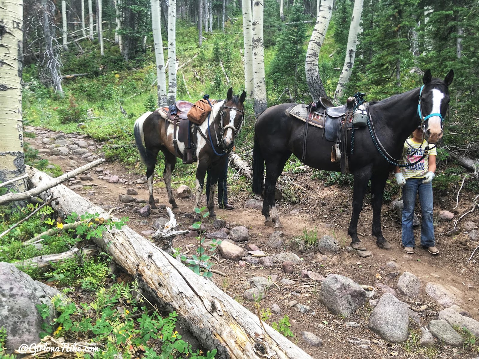
At the top of the first hill, I moved over to let a few horses pass by. They offered to let me go first, but I said, “I sure could use a break to catch my breath!”
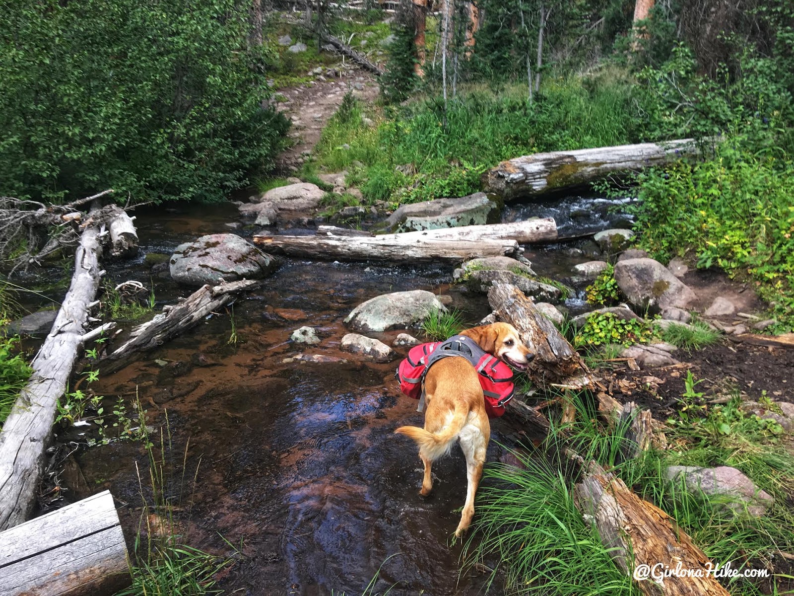
The next stream crossing will be at mile 2.6. Perfect to let Charlie drink!
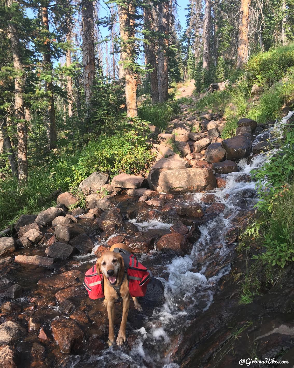
The trail continues to gain elevation, and just below Round Lake you’ll see this small cascade on your right.
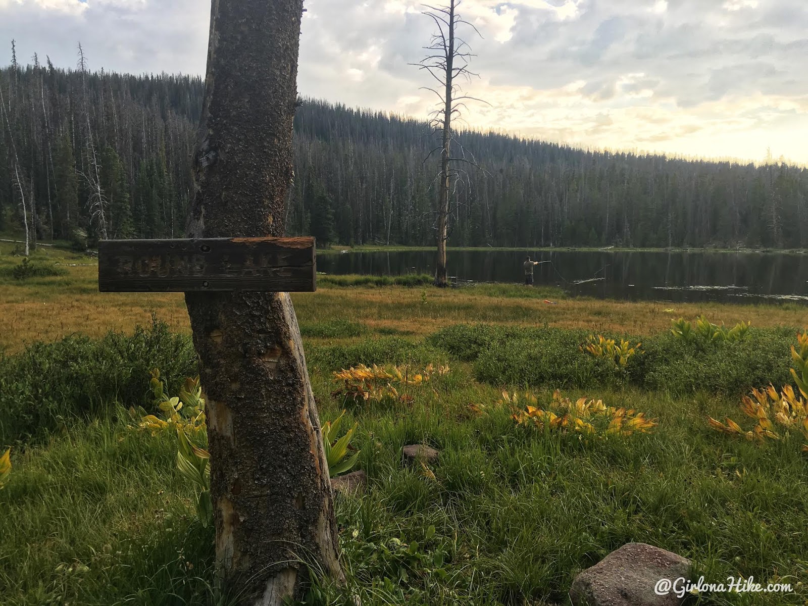
My friend left a clue for me on where he was camping, and I found him just where I suspected – fishing at the lake.
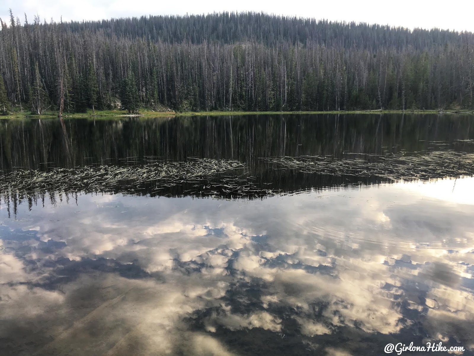
Round Lake isn’t the….prettiest. However my friend told me that I might not like Fish Lake very much and felt this was the better campsite. I trusted his decision, and quickly set up camp.
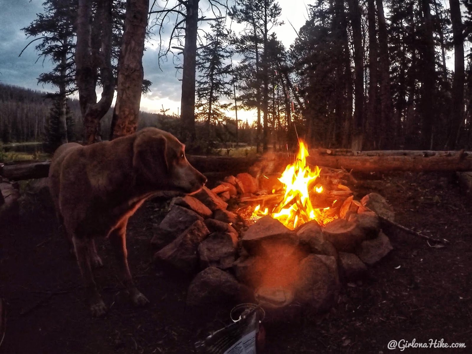
That night we enjoyed a nice fire! It sure was nice to be at work, then come “home” to a camp fire. I may need to do this more often!
Day 2
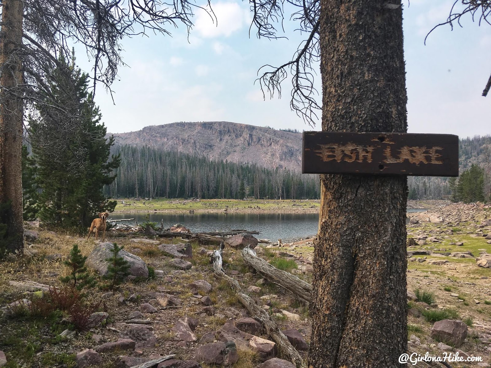
The next morning we made breakfast (eggs & bacon for me), then hiked up to Fish Lake. It’s only 1/2 mile from Round Lake, and about 20 minutes.
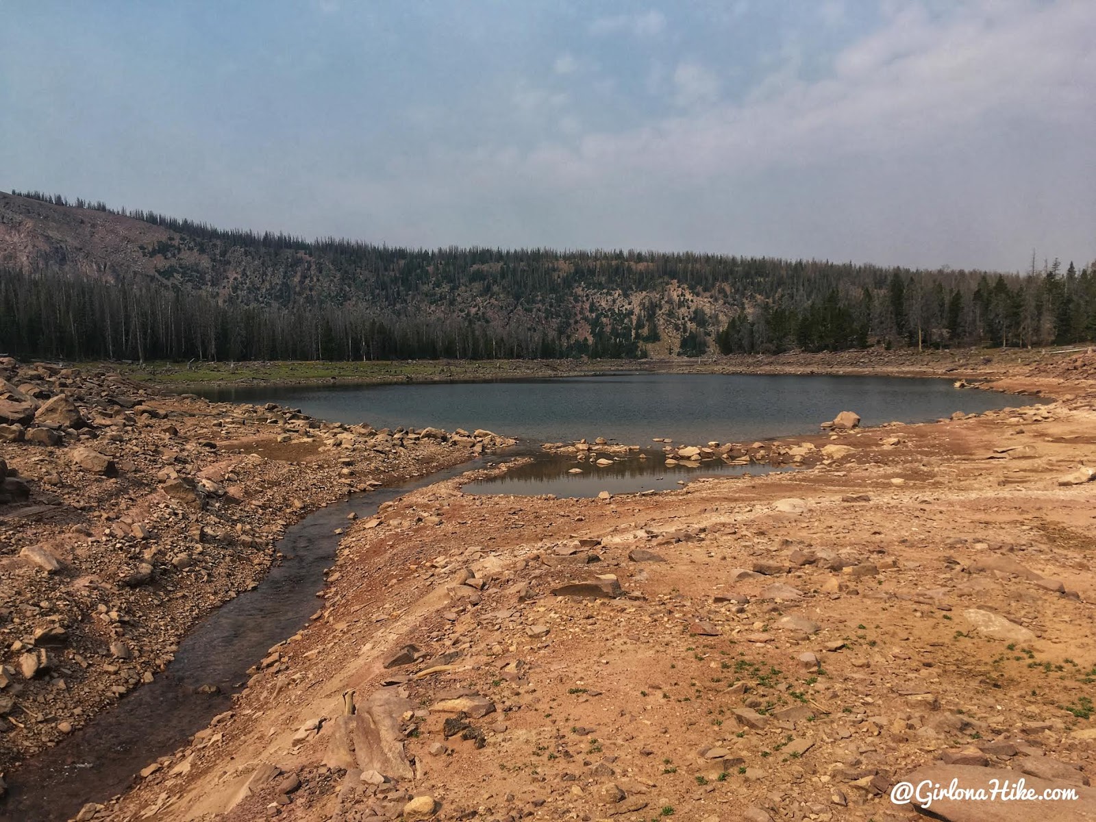
But umm….where is Fish Lake?!
I was glad my friend decided not to camp here! We couldn’t believe how low it was. We could only assume it was from our low Winter.
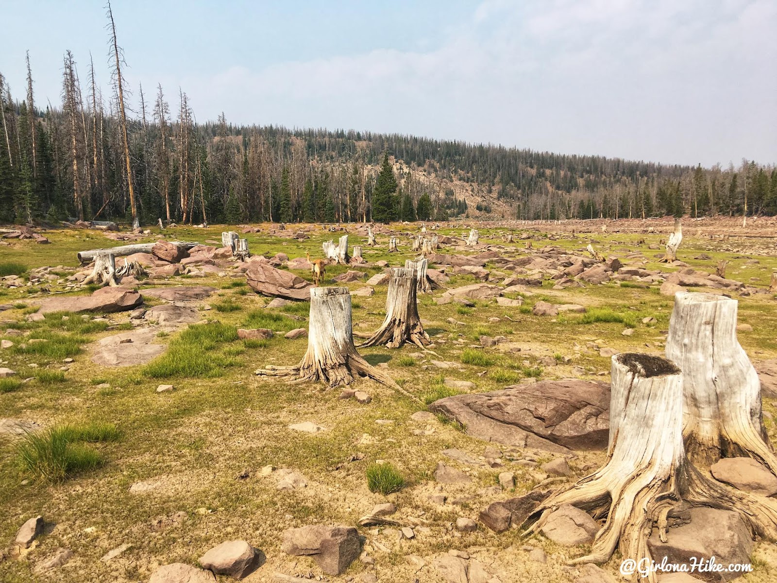
What the…!? Why would loggers leave 1/4 of the tree there? We were so confused with this “lake”.
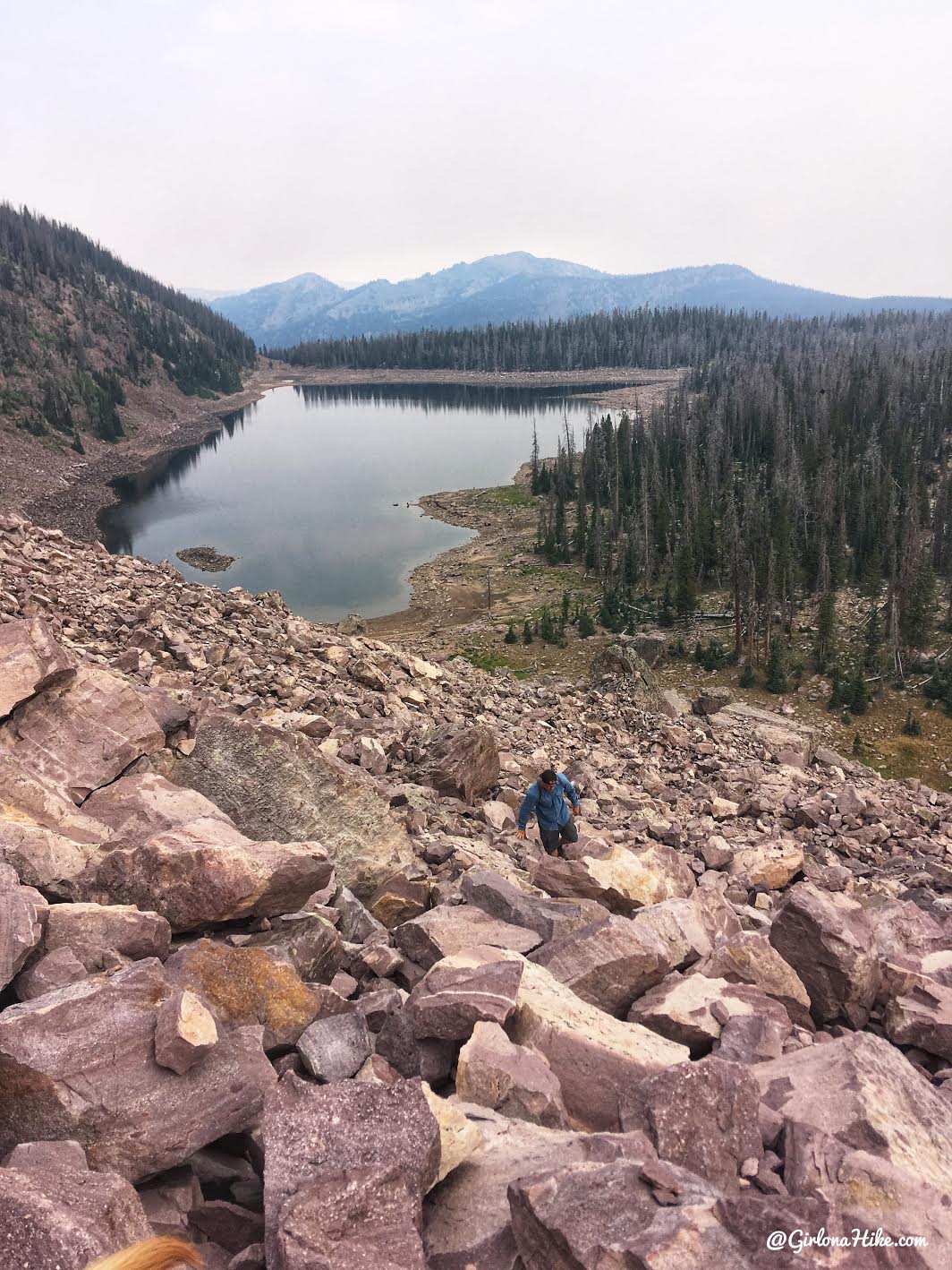
We didn’t really have a plan for the day except to make it to the ridge. So we found ourselves on the Southern most end of Fish Lake, and found what looked like a good “ramp” through a boulder field to get up top.
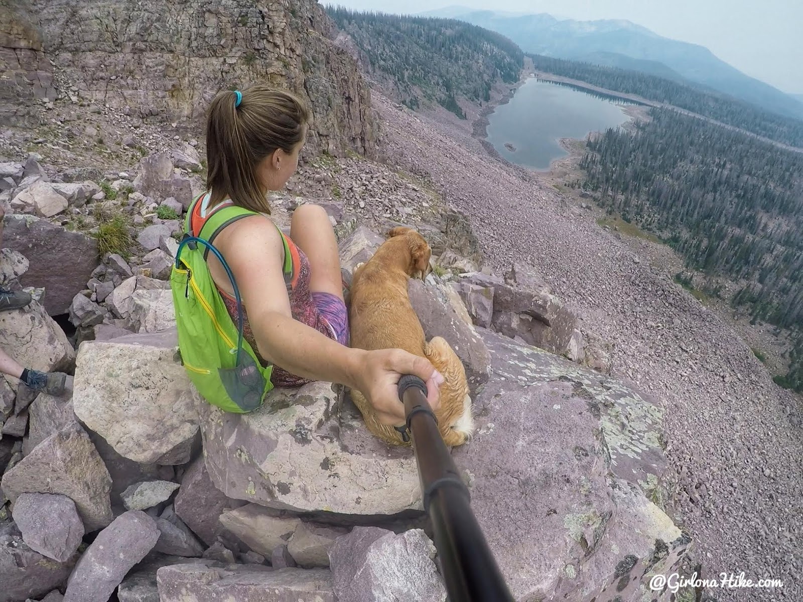
It took us about an hour just to hike through the boulder field, maybe 1/4 mile. The views kept getting better though!
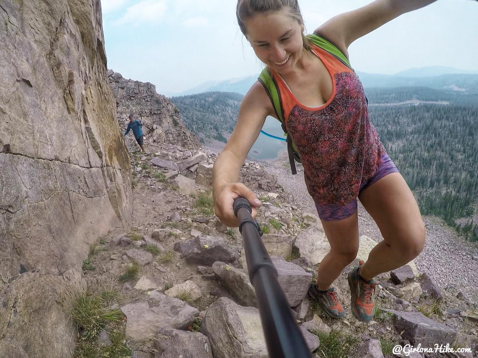
Scrambling on the cliff ledges! So fun!
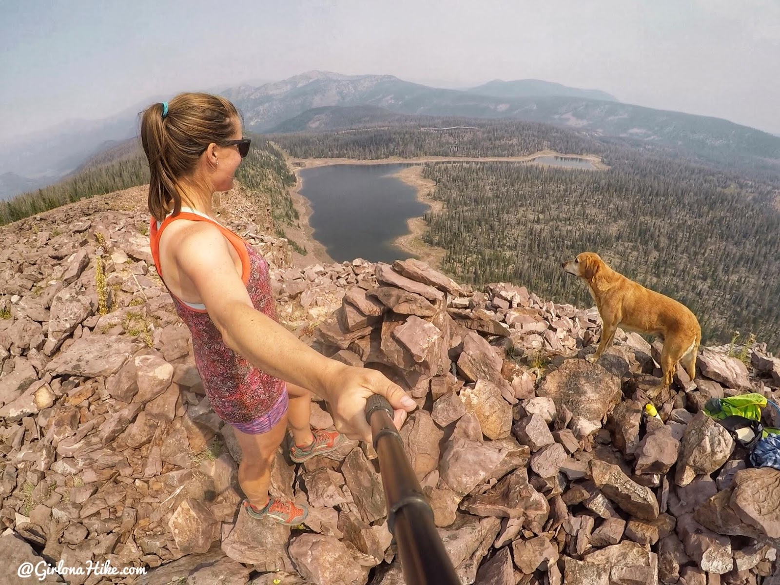
Finally we made it to the peak above Fish Lake. This peak has no significance as far as being on any particular list or anything, but it was cool to be up there. There also happened to be a large cairn so others have definitely been up there. The haze from all the smoke was so bad!
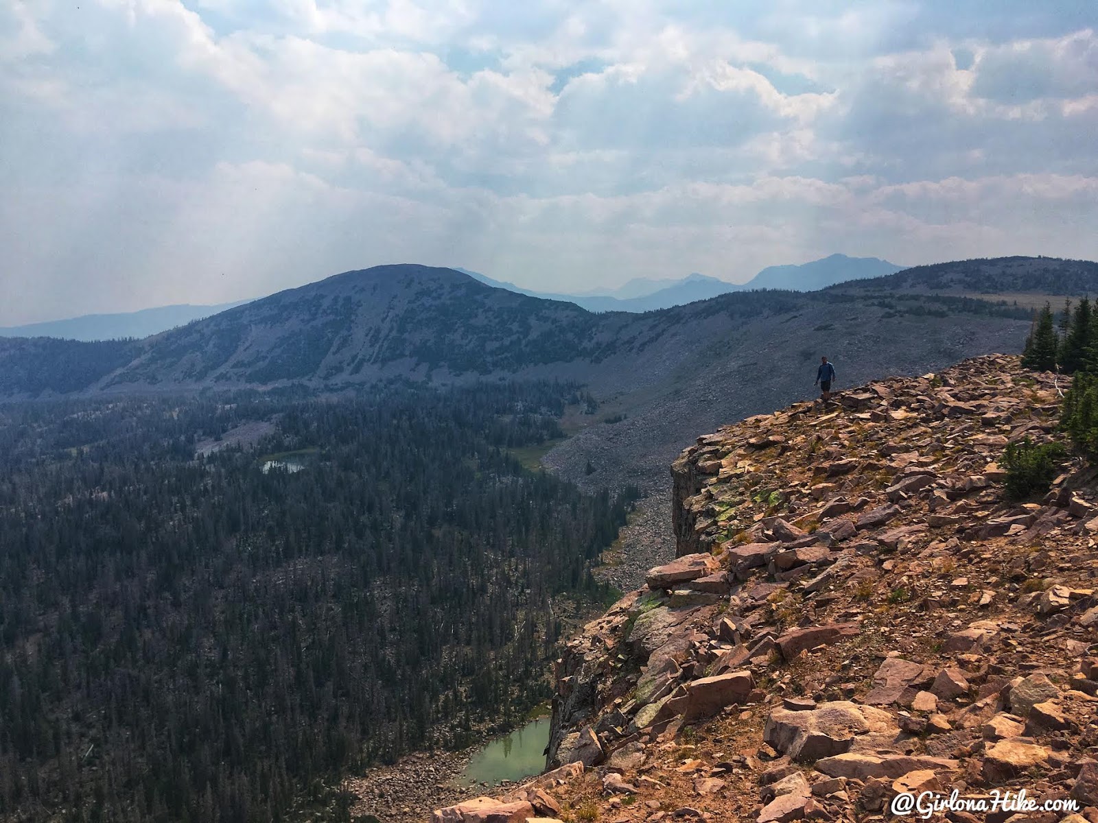
Walking on the ridge.
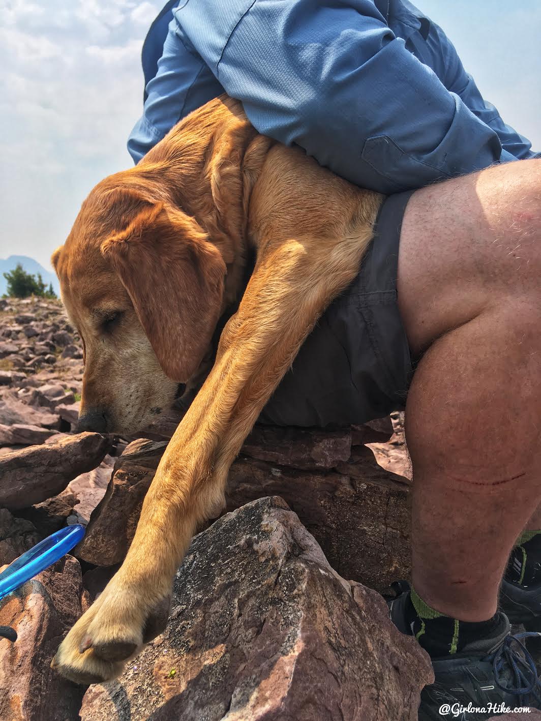
When you can’t find a comfy spot on the rocks, you crawl into your friends lap! Charlie loves his summit naps.
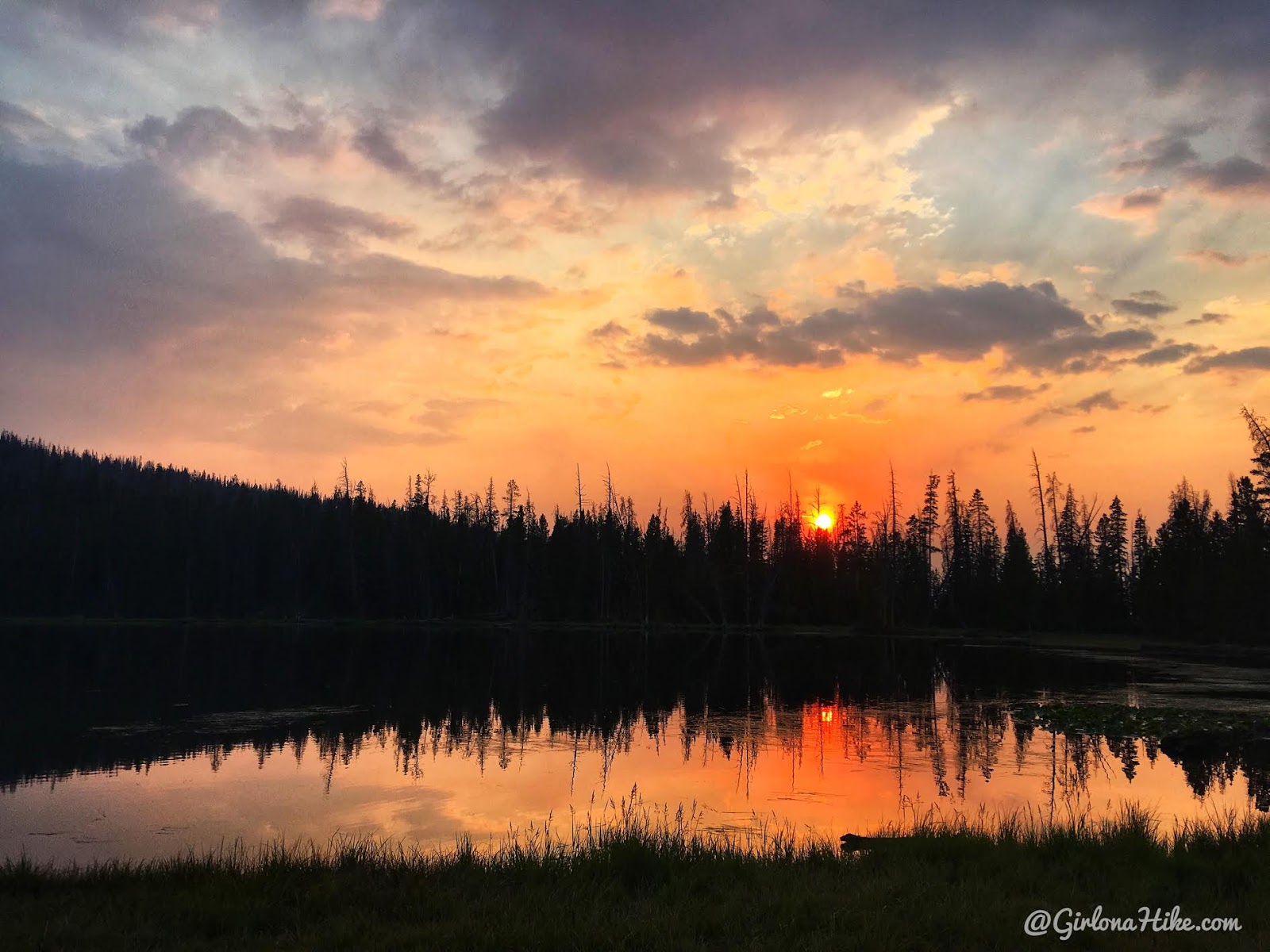
We made it back early in the afternoon, took a nap, looked at the map for our next potential backpacking trip, fished, and enjoyed the sunset and another campfire.
Day 3
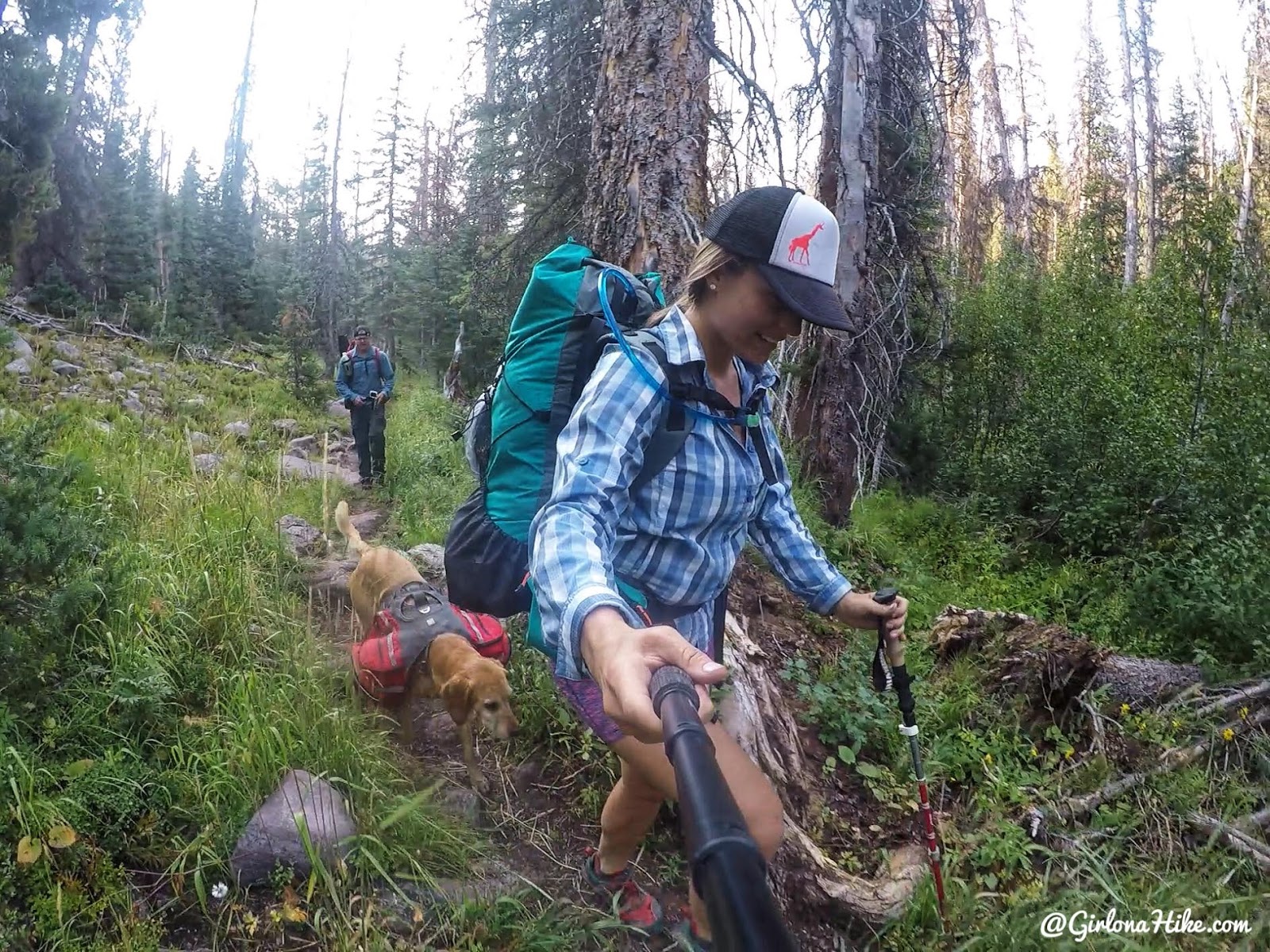
Time to head home! We both needed to hike out early, so we got back to our cars by 9:30am.
I thought this trail was really pretty, but the lakes were not worth it. Any day in the mountains is a good day though! If I did this route again, I would just come up for the day.
Check out my friends YouTube video and Subscribe!
Trail Map
My track via Gaia GPS – the best tracking app! Get your app here for a discount.
Nearby Hike
Backpacking to Abes Lake, Uintas

Save me on Pinterest!
