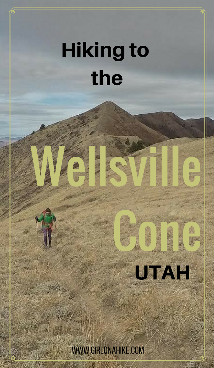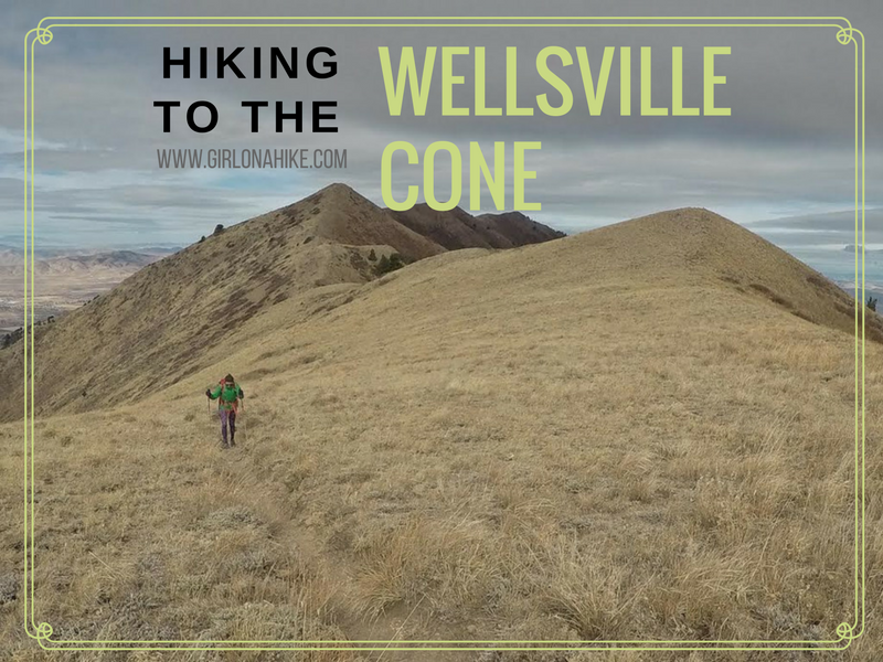

The Wellsville Cone (9,356 ft) is the 2nd highest point in the Wellsville Mountains, the highest being Box Elder Peak. Wellsville Cone is only 16 feet lower, and if you must bag the tallest peak of the mountains go for it, but the views will be the same. There are several routes to reach either summit and all require bushwhacking, and are long, steep hikes.
Routes
Coldwater Canyon/Maple Bench
Rattlesnake TH
Deep Canyon TH
West Coldwater TH
Directions
To the Cold Water Canyon/Maple Bench TH
If you are driving from SLC, head north on I-15, and take exit 362 towards Logan, UT. Drive through the canyon for16.5 miles and turn left at the small sign for Mendon, UT. Drive through the small town of Wellsville, and from HWY 23 turn left on 5400 West/Main St (it’s another really small street sign, so be on the lookout. If you drive into town past S 200 W, you went too far). Once you make the sharp left turn onto 5400 W, immediately turn right at the next road, which turns into a dirt road. You’ll drive be several large homes. From here, keep following the dirt road until it ends at the TH. You’ll pass the national forest sign, and cross one cattle guard – I’ve marked both on the map below. Using Google Maps doesn’t work because it doesn’t recognize the end point/trailhead. Most cars should be able to make it. Small cars will have to drive slowly. It also depends on road conditions – if its muddy you’ll either need 4×4 drive or just walk up the road, but it does add on an extra 3-4 miles one way.
Trail Info
Distance: 10 miles RT
Elevation gain: 3,200 ft
Time: 6-8 hours
Dog friendly? Yes, off leash
Kid friendly? No
Fees/Permits? None
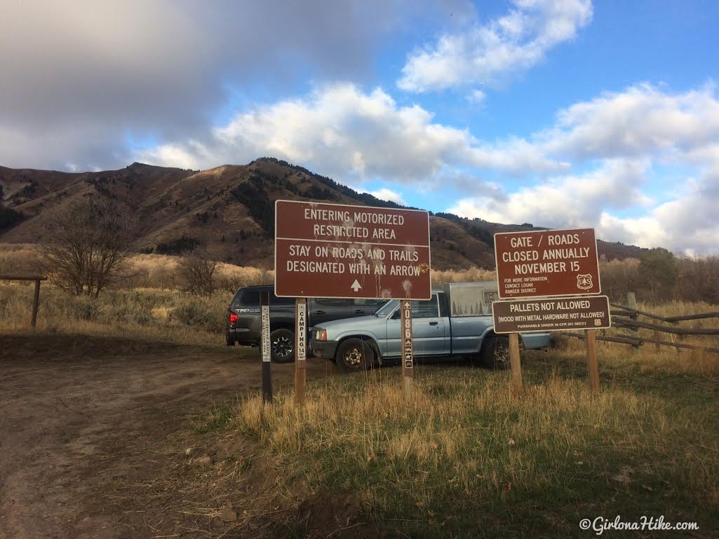
As you drive along the dirt road you’ll pass the winter gate, which closes November 15th. Keep driving until you reach the end of the road.
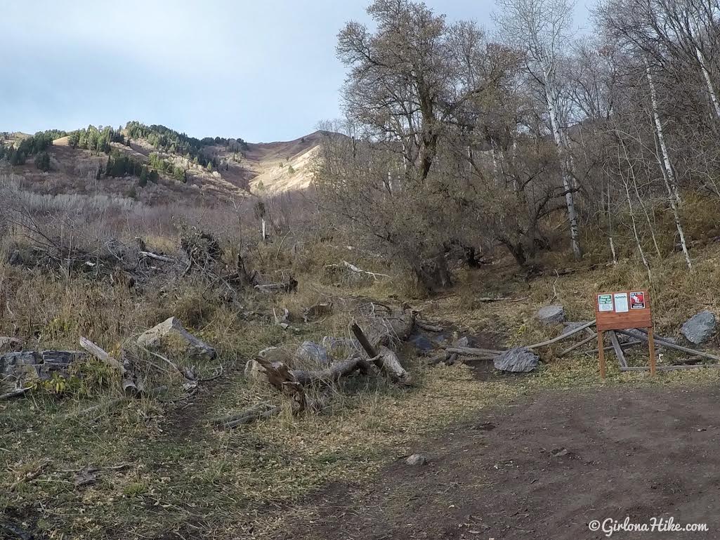
The trail starts behind the wood sign.
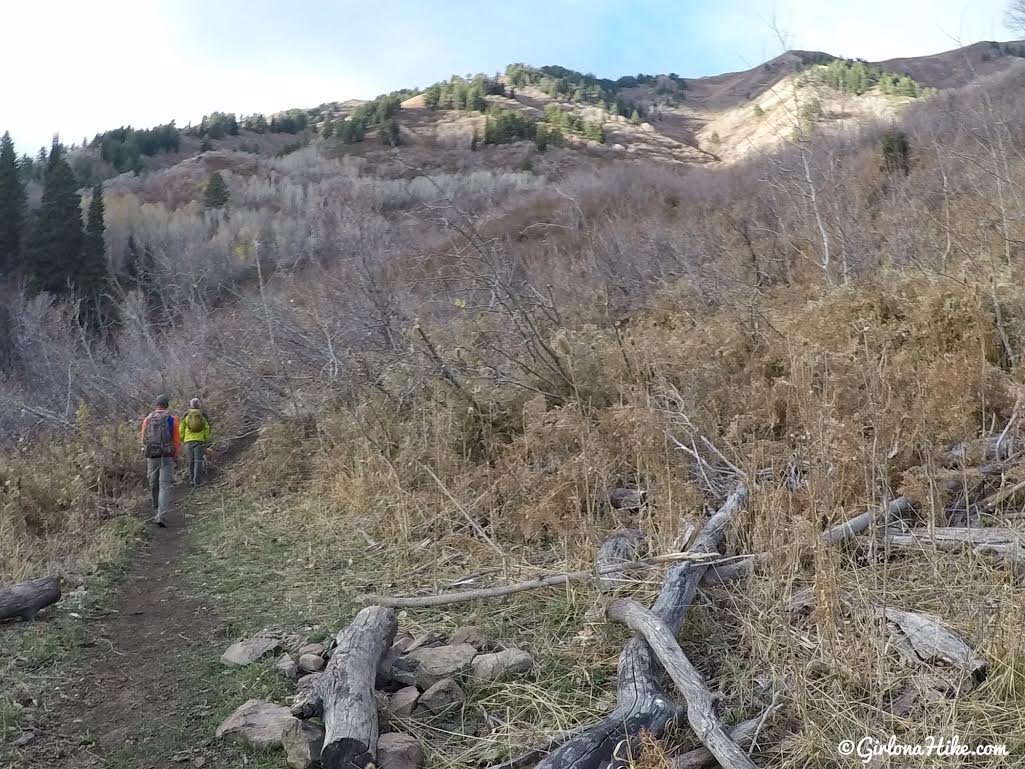
You’ll hike in a southerly direction for the first mile.
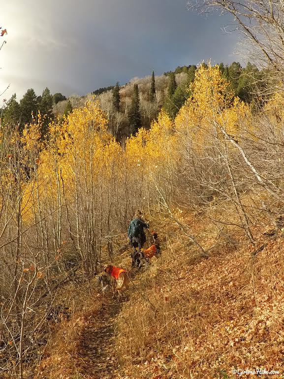
The last remaining Fall colors!
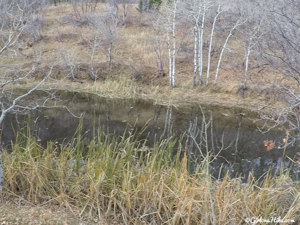
I know, this is a horrible photo but there’s no good way to make Coldwater Lake look pretty. It’s really a mucky pond 50 ft long by 15 ft wide.
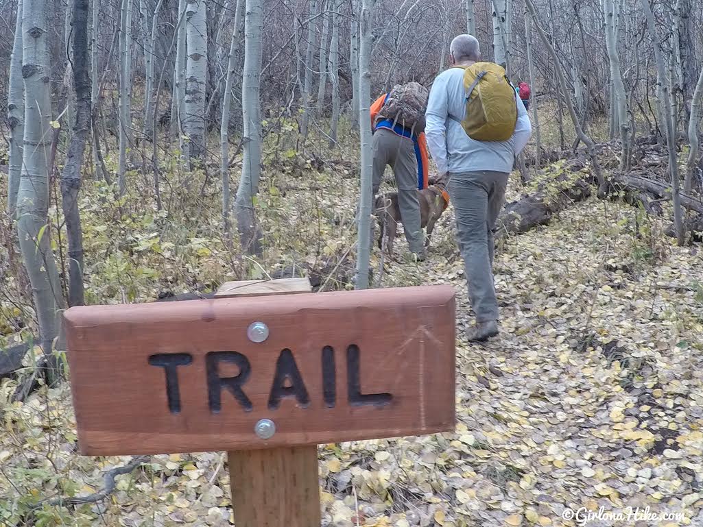
Keep an eye out for the nice trail sign, and turn right here. You will begin hiking uphill.
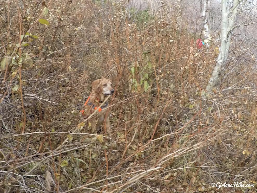
The first section of bushwhacking…you can barely see Charlie. I really don’t know how you’d be able to find the trail in Summer when everything is blooming and covered with leaves. Make sure you wear pants and long sleeves on this route to protect your skin from getting cut up, and don’t wear your “nice” hiking clothes.
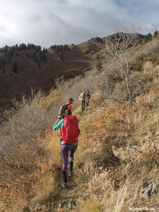
Finally the bushwhacking ended for the next 1/2 mile and we hiked up several switchbacks.
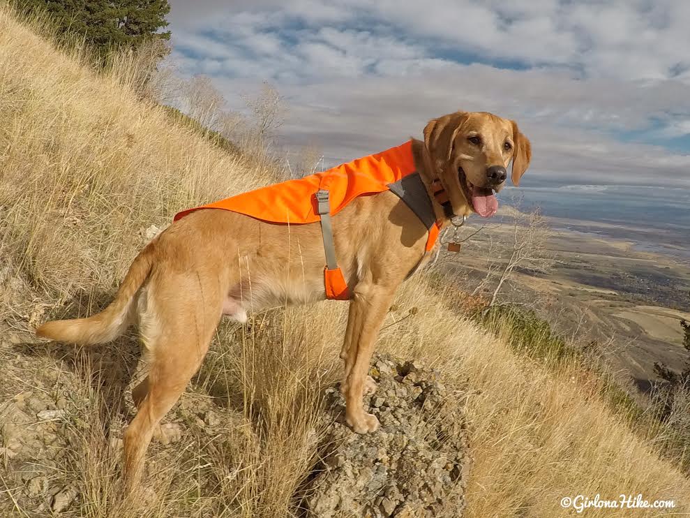
Charlie, the happy hiking dog!
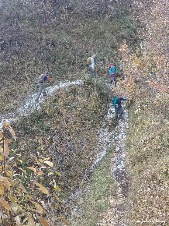
Some parts had remaining snow from the last mini storm Utah had, but it warmed up making sections extremely muddy and slippery.
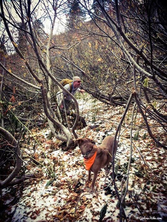
Dan & Mama-dog try to find their way through the second stretch of horrible bushwhacking.
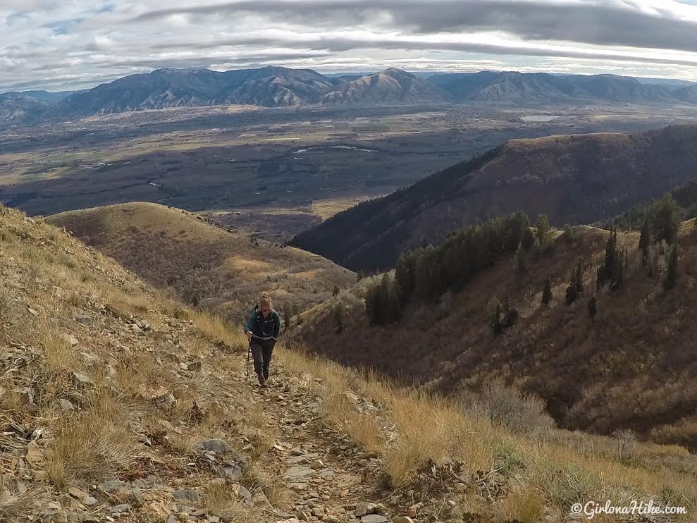
When the trail opens up, you really do get nice views. This is looking East towards Logan.
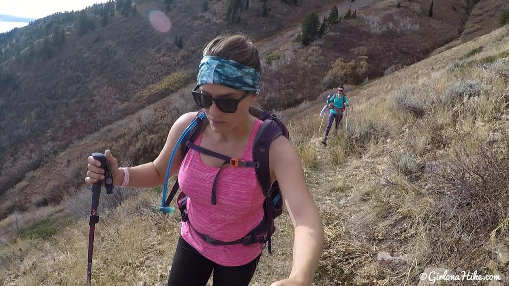
Working hard uphill, and I was dripping in sweat though it was only 50F. There were three false ridges, that when you got to them, you just felt like you hadn’t even hiked very far. We still had a long hike ahead of us…
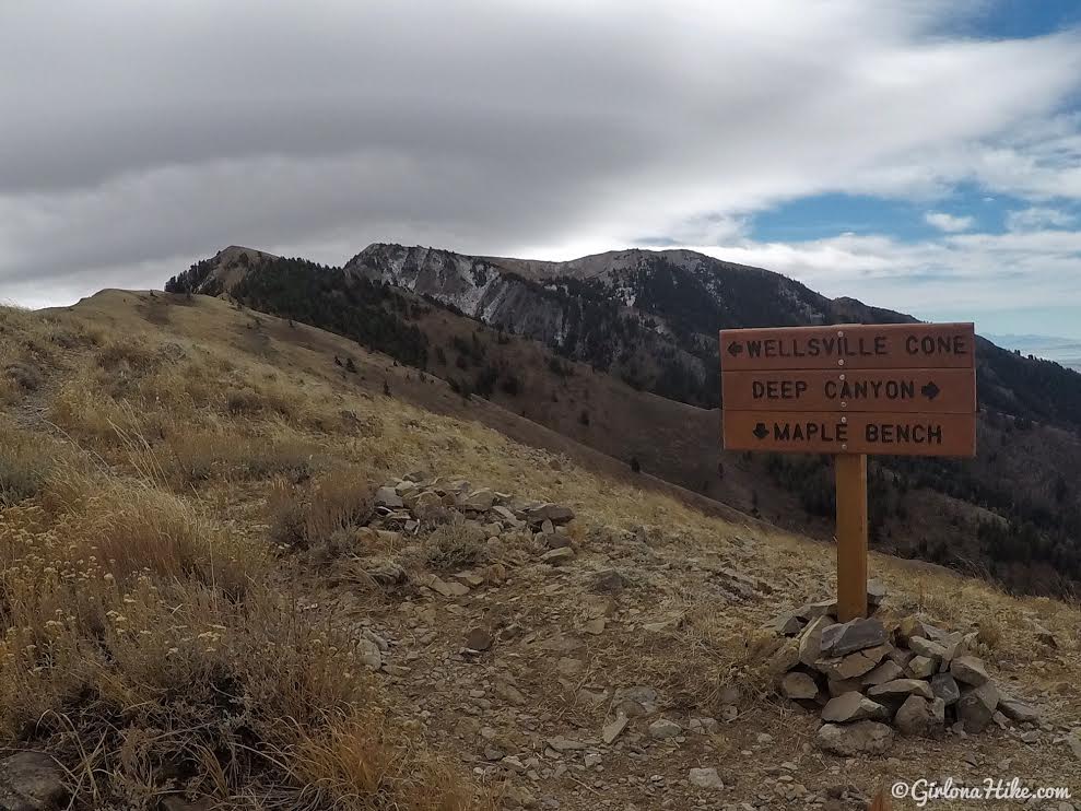
Eventually, we made it to the ridge. Relief!
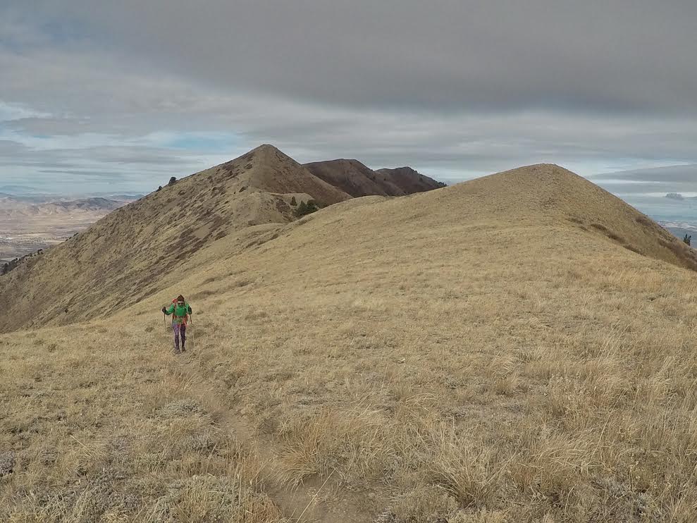
I knew the clouds kept taunting us of bad weather, but what we got instead was insane winds along the ridge, also making it feel 20F colder than it actually was.
This is looking back towards Mendon Peak.
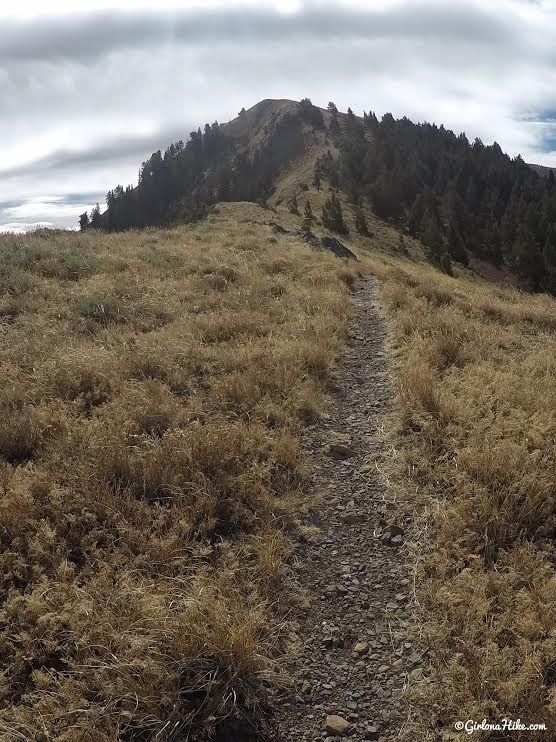
When we hiked along the ridge, we all thought this first peak was the cone, but it’s not. You’ll hike around it to the other side, where the trail keeps going. At this point, the wind and cold was really wearing us all down.
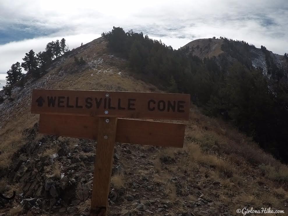
Reaching another sign for Wellsville Cone!
I thought it was really interesting that there were such nice, new-ish trail signs, yet the trail itself was in poor condition.
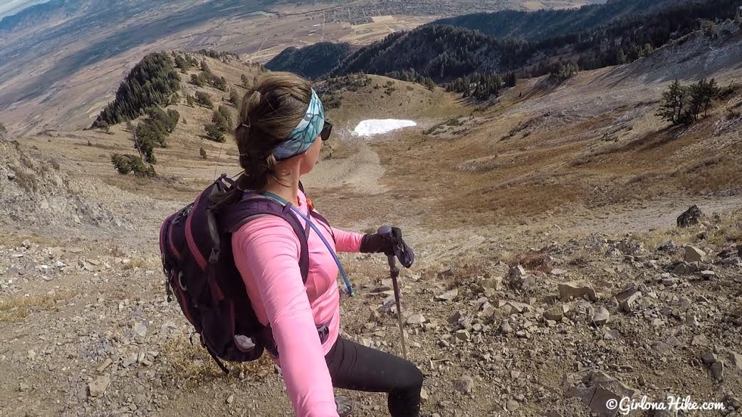
You’ll hike up a few switchbacks when you get close to the summit. This is looking down into “Brushy Canyon” basin.
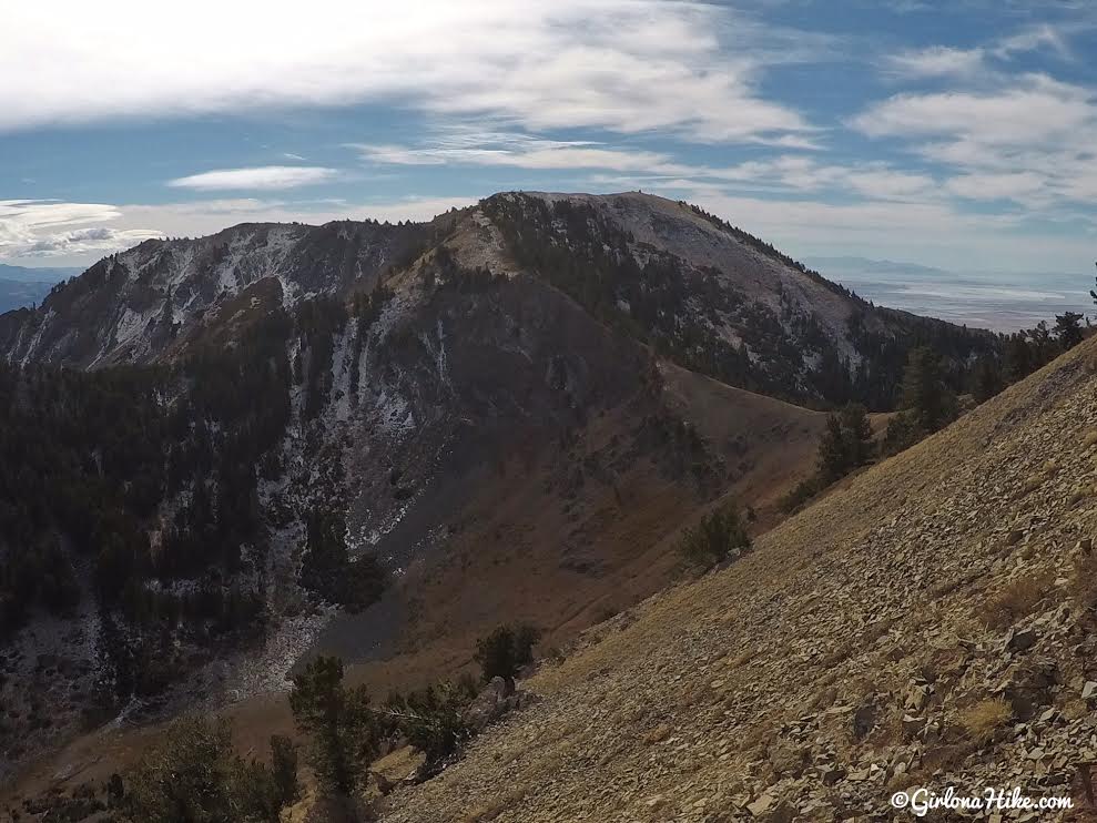
Great view of Box Elder Peak. We originally wanted to summit Box Elder as well, but we were all exhausted by the wind and steep hike up that as soon as we saw how far away it was (1 mile), we changed our minds and skipped it.
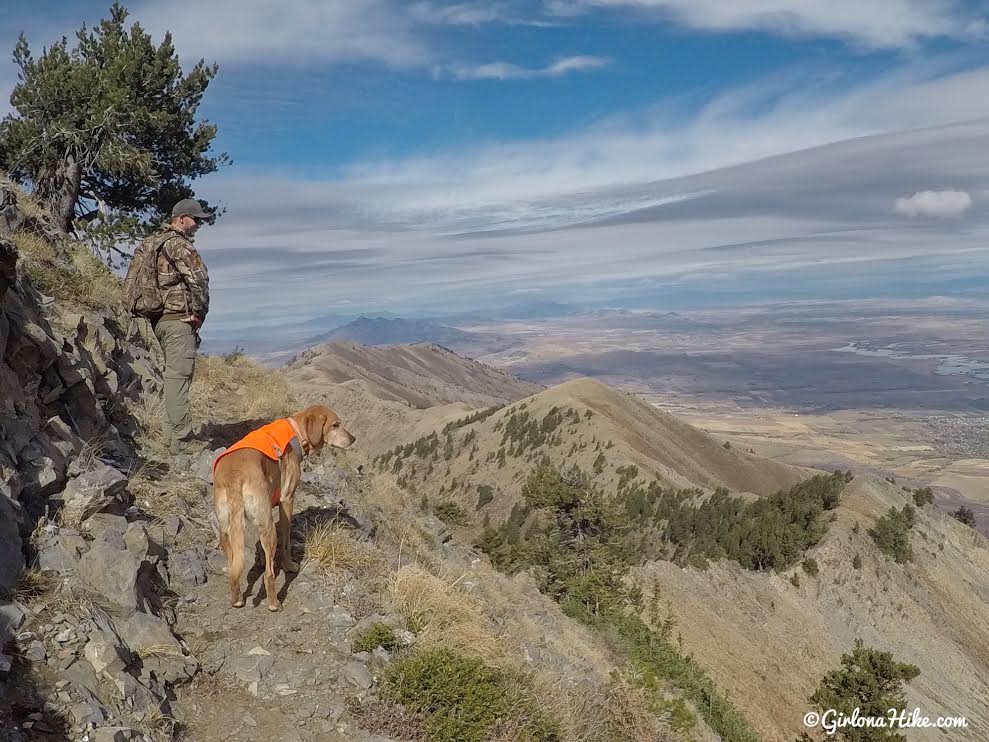
Still hiking up switchbacks….
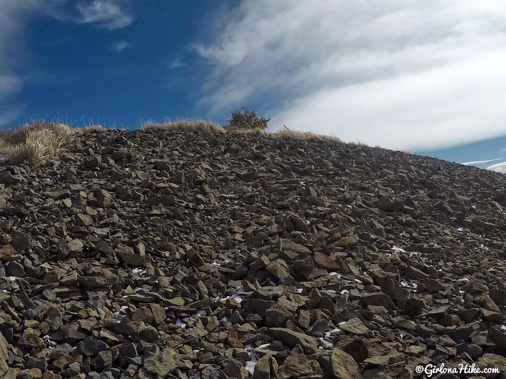
Last push to the summit!
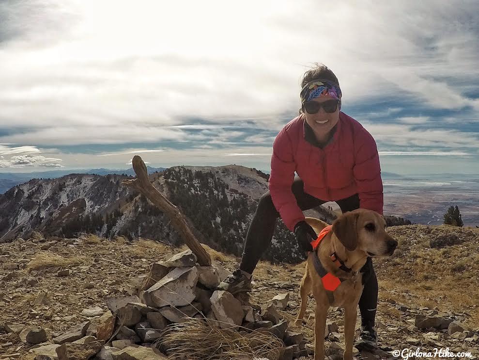
Finally! We summited the Wellsville Cone.
It took us 3 hours 36 minutes.
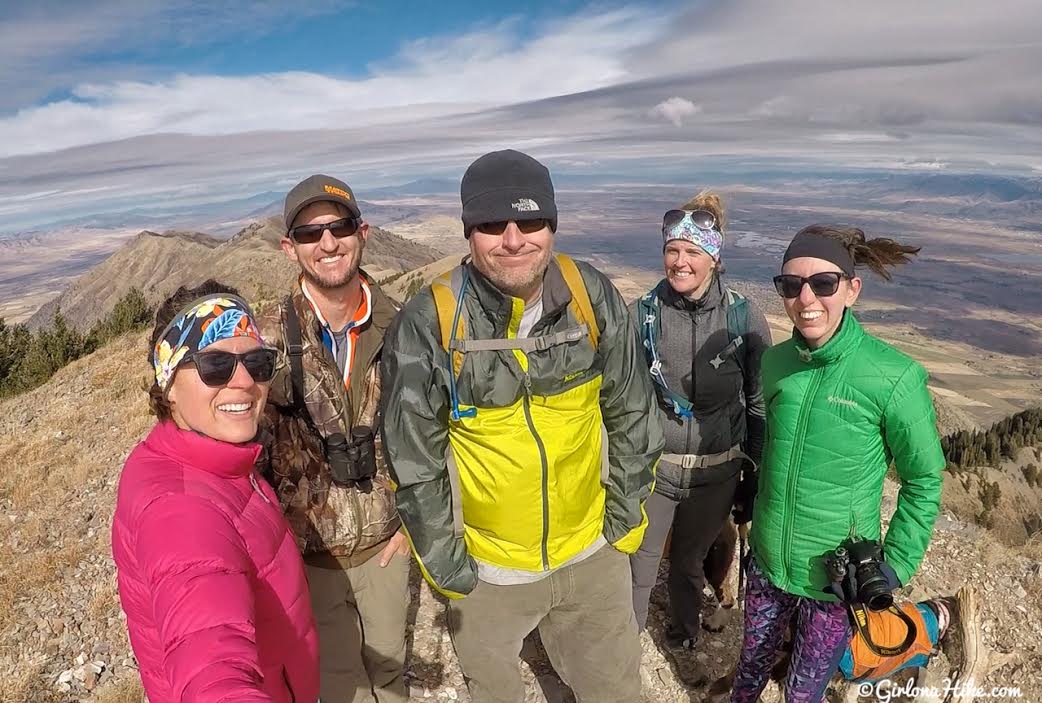
It was SO COLD and windy that we quickly got our photos and headed down. You can see by Heather’s pony tail how windy it was!
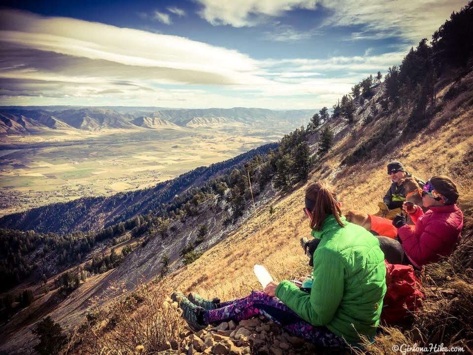
In order to eat and have our hot drinks, we hiked back down to the switchbacks just below the summit of the Wellsville Cone so we would have a break from the wind.
I’m glad I did this hike, but in all honesty I would never hike here again. It was really steep with lots of bushwhacking and combined with the wind it just wore me out. The views from the ridge and summit were amazing, but otherwise there was nothing special about this range for me.
Trail Map
My track via Gaia GPS – the best tracking app! Get your app here for a discount.
Nearby Hike
Hiking to the Willard Fin

Save me on Pinterest!
