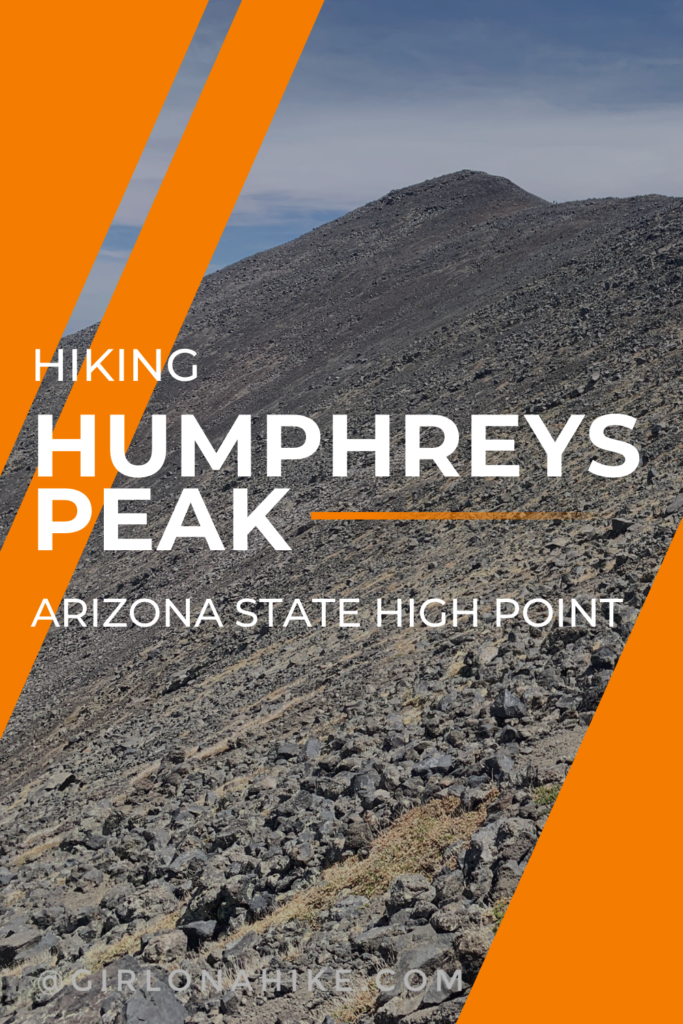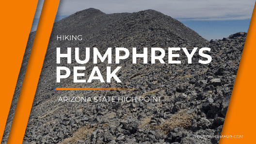
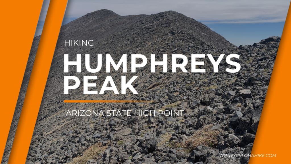
Humphreys Peak is the Arizona State High Point, and sits at 12,637 ft! Located within the Kachina Peaks Wilderness and Coconino National Forest, Humphreys Peaks is the highest of a group of dormant volcanic peaks known as the San Francisco Peaks.
About
Along this 5 mile route, a thriving alpine forest streaked with huge rock slides and avalanche tracks hugs the mountain’s slopes. Scenic Hart Prairie stretches out the base of the mountain, and the Grand Canyon is visible on a clear day to the West. As the elevation increases, trailside vegetation shows more and more evidence of the extreme harshness of this environment. Near tree line what’s left of the forest consists entirely of bristlecone pines bent and twisted by wind and frost.
The trail works its way very gradually up the entire slope of the mountain – only getting steep right before the saddle. From there, it’s only another mile to the summit. Plan on starting your day early to not only beat the Arizona heat, but also the threat of afternoon thunderstorms, especially July through September, the monsoon season.
There is a trail the entire route, so as long as you can hike 11 miles round trip, nothing special is needed to make this trek. Dogs are allowed on leash, and kids who have some peak bagging experience will also be able to complete this hike. Bring plenty of water and snacks, plus a shell for the ridge, as it can get very windy and cold.
Directions
It’s easiest to type in “Humphyres Peak Trail” on Google Maps and have it guide you. From Flagstaff, it is about 27 minutes. The road is paved the entire way since it’s located at the Arizona Snow Bowl ski resort.
Trail Info
Distance: 11 miles RT
Elevation gain: 3,400
Time: 6-8 hours
Dog friendly? Yes, on leash
Kid friendly? Yes, ages 10+
Fees/Permits? None
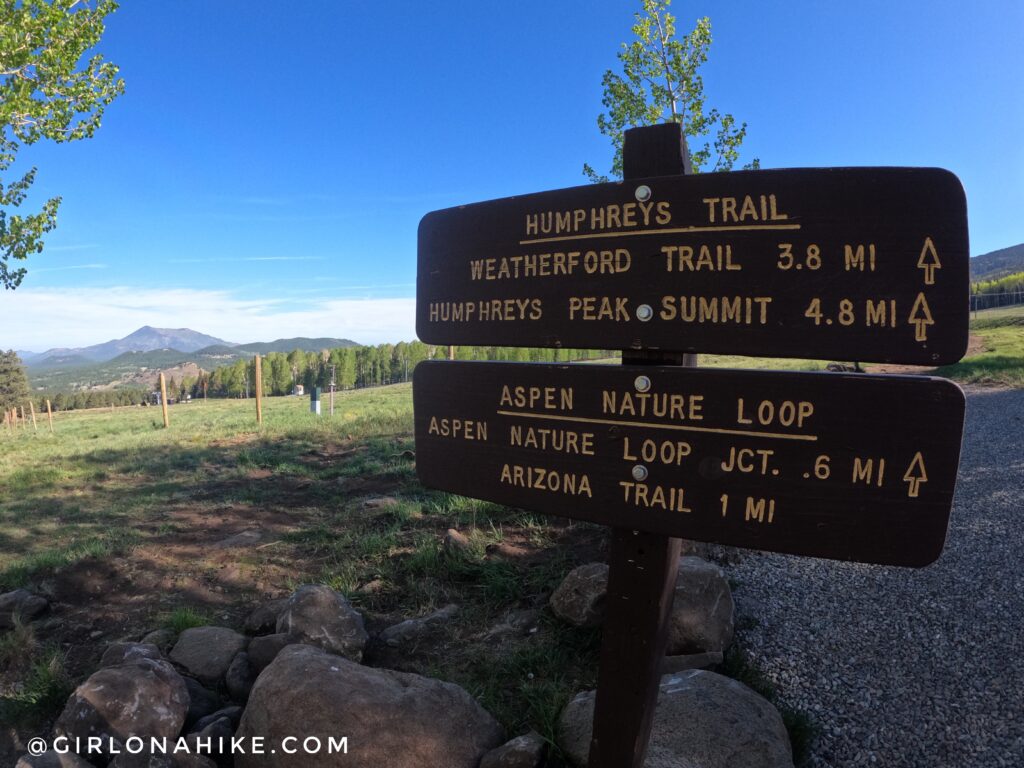
The sign says it’s only 4.8 miles to Humphreys Peak, however, I tracked 5.25 miles one way.
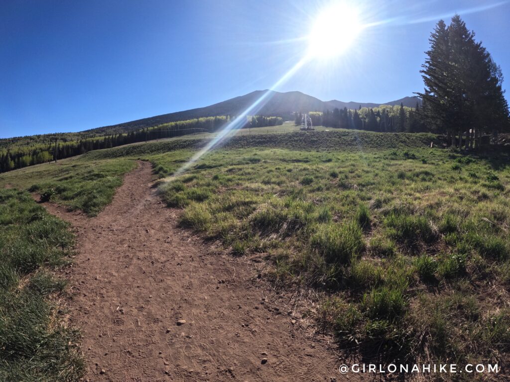
Start out by walking across the ski run, heading East.
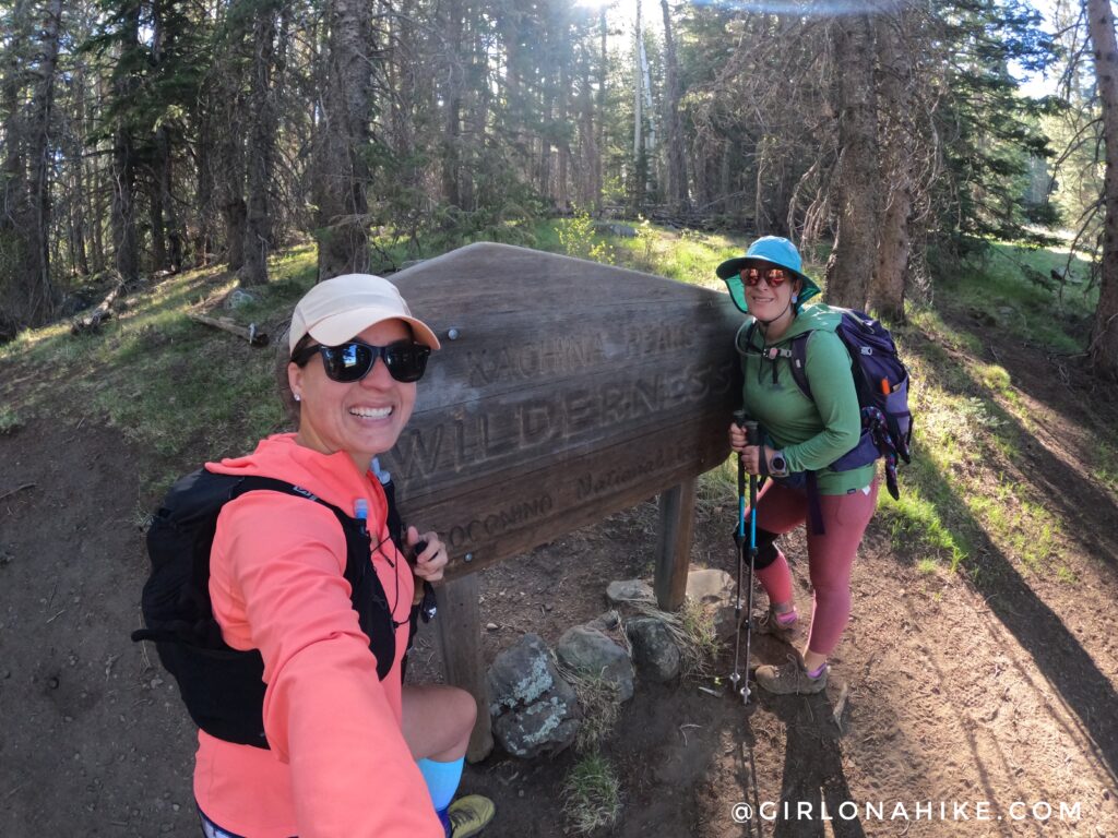
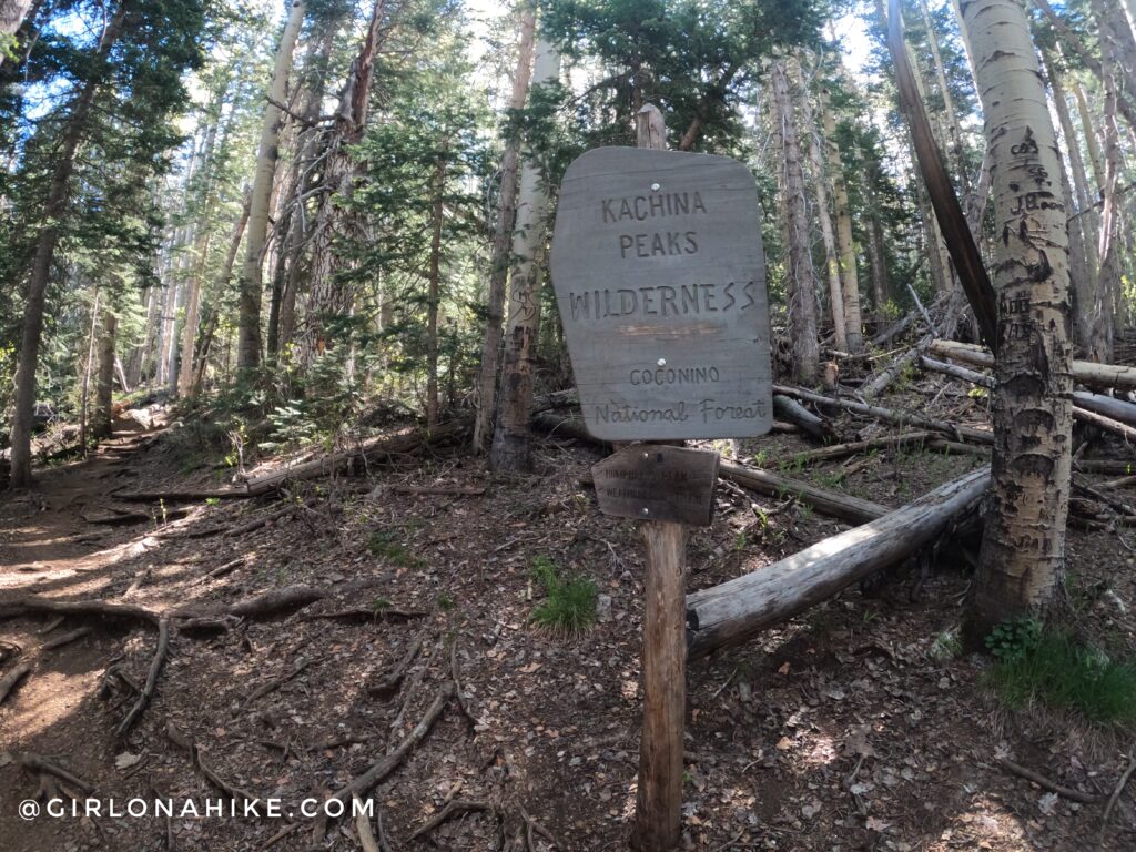
You’ll immediately be in a thick forest, and will pass the Kachina Peaks Wilderness sign. We’re ready to bag a peak!
Not too long after, a second sign appears.
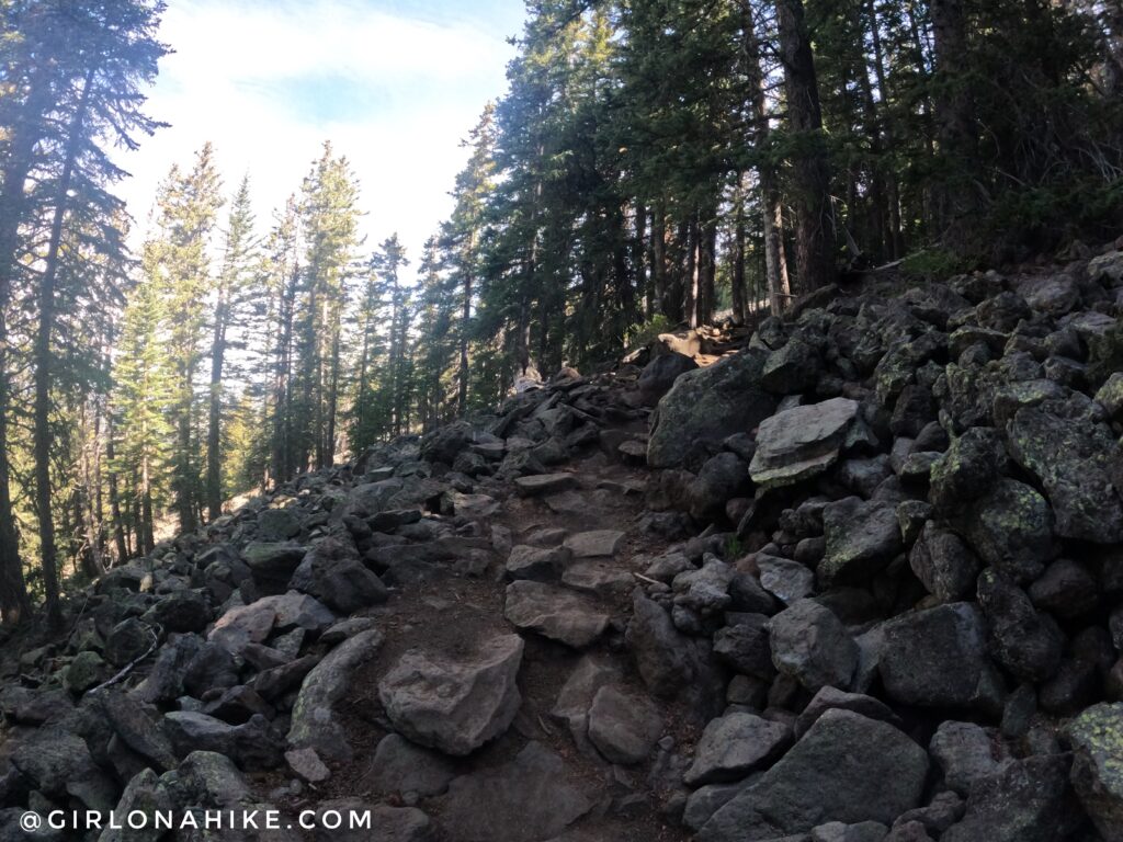
The entire trail is quite rocky, but very gradual. You are also hiking through trees all the way up to the saddle (about 4 miles in).
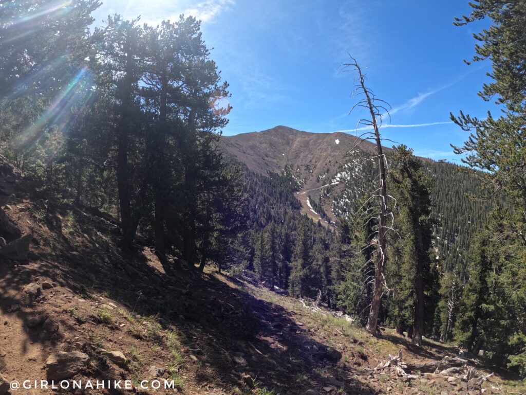
The trail is pretty uneventful, but eventually, you will see Agassiz Peak (12,360) to the South.
The last 1/4 mile leading up to the saddle is the steepest part of the entire hike. Big rocks act as giant steps, which get your heart racing!
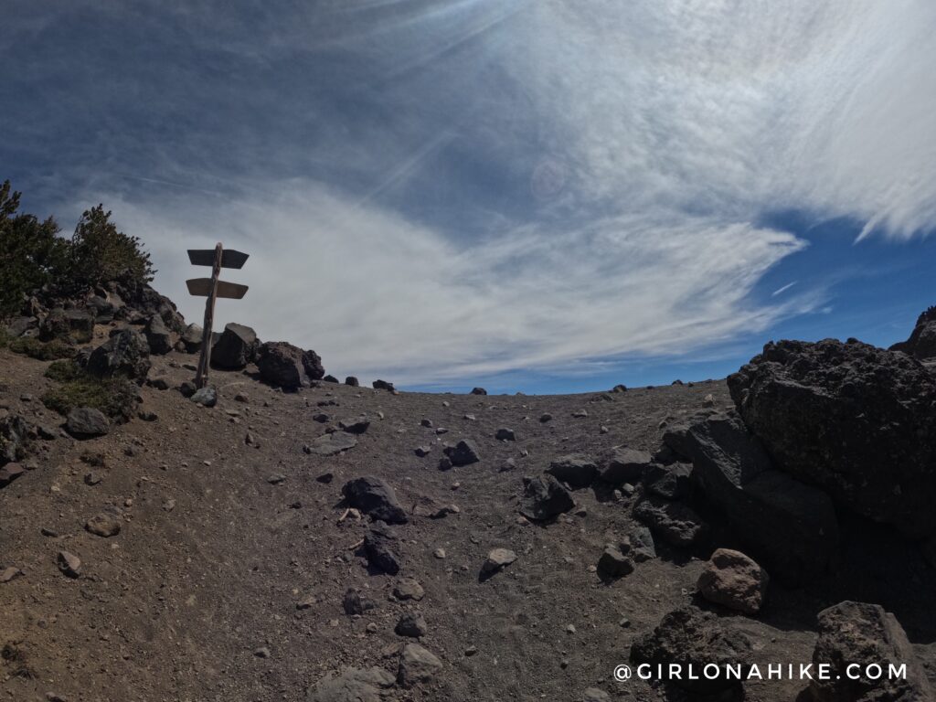
At the saddle, you’ll see the trail signs – turn left.
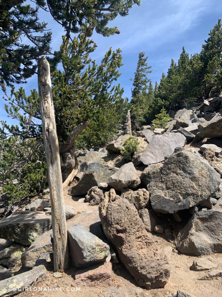
At first, it feels like there are trails going everywhere but keep an eye out for these “trail” sticks.
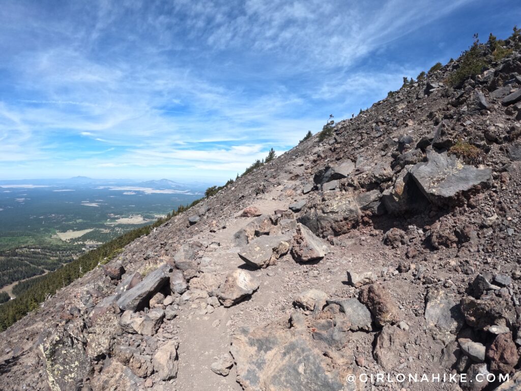
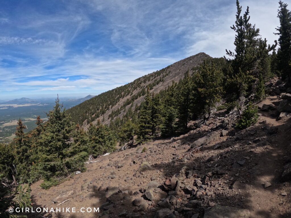
The trail opens up and now its easy walking along the ridge, as you turn the corner to hike North.
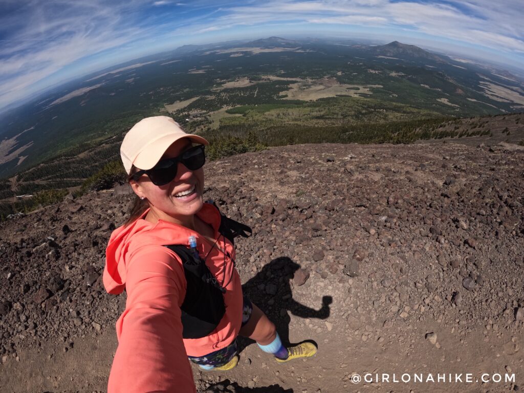
What a great day to hike Humphreys Peak! The ridge was very windy but I enjoyed being in the cooler temperatures.
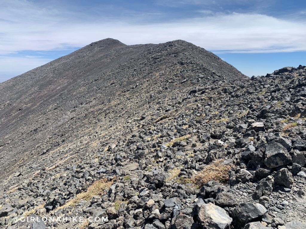
Ahh, what a pretty sight! Humphreys Peak is only a few more minutes away.
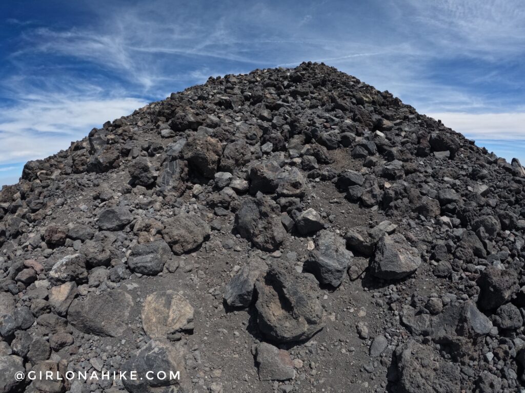
Last push to the summit! Its really hard to see, but there is a trail the entire way.
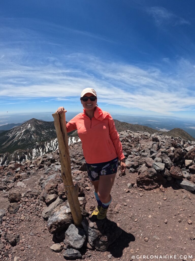
Whoo-hoo, my 4th state high point behind Kings Peak, Mt.Whitney, and Mt.Borah! I really enjoyed this trail – the views along the ridge were just amazing, we had great weather, and I loved being in cooler temperatures at the end of May.
Check out my Video!
Trail Map
My track via Gaia GPS – the best tracking app! Get your app here for a discount.
Recommended Hike
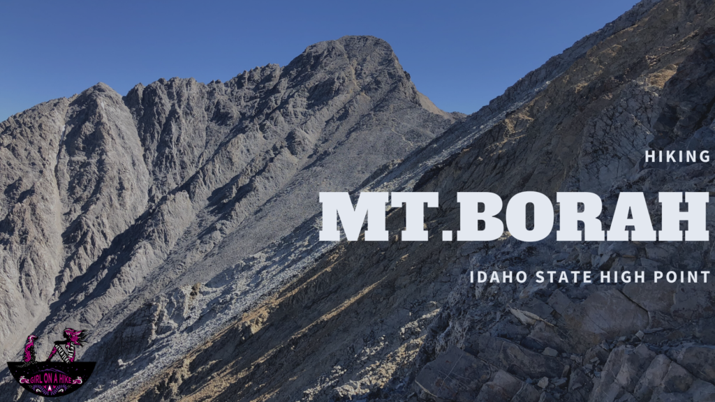
Like hiking to state high points? Also check out Borah Peak, Idaho’s State High Point!

Save me on Pinterest!