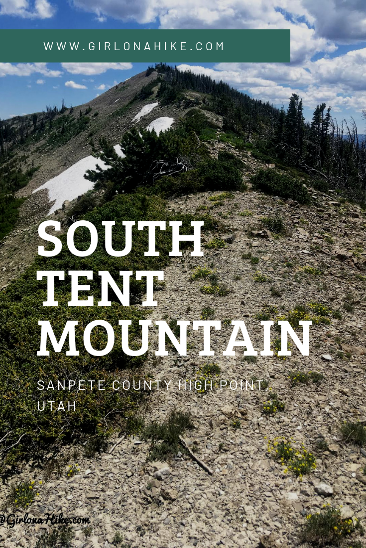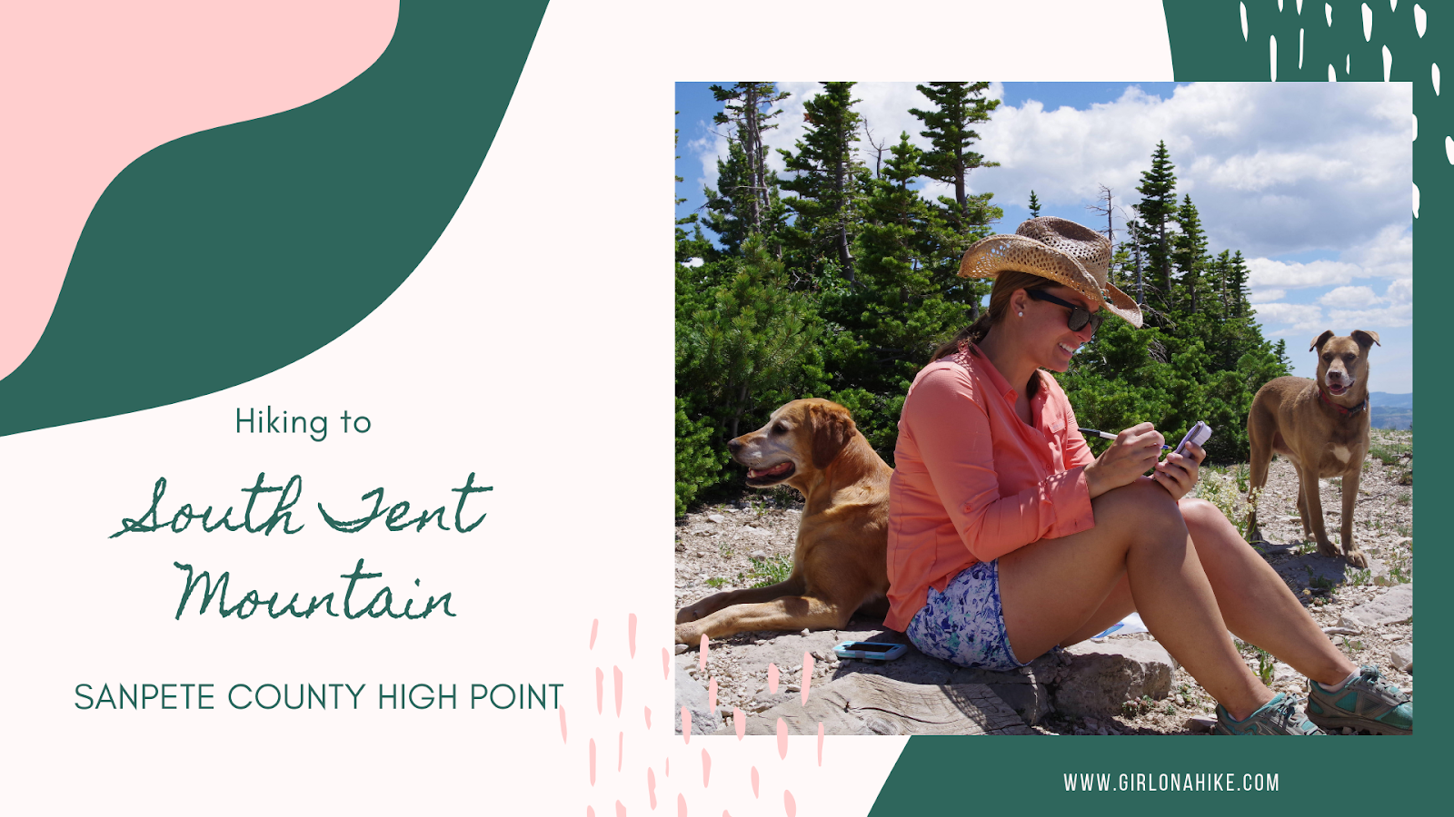
South Tent Mountain (11,285 ft) is the highest point in Sanpete County, Utah, and offers a scenic, rewarding ridge hike with panoramic views. While most hikers opt for the traditional route to the South Tent saddle, we chose to hike the entire ridge—summiting both South Tent Mountain and North Tent Mountain (11,230 ft). This moderate, dog-friendly trail requires no technical gear and covers just 5 miles round-trip, giving you double the peaks with minimal extra effort.
About
This hike is perfect for experienced dogs and older children who can handle higher-altitude conditions and off-trail navigation. You’ll mostly follow a faint trail along the ridge, gaining both summits with little elevation gain between them.
Directions
From Spring City, Utah:
-
Head east on E 100 S.
-
Briefly turn left on S 700 E, then quickly turn right onto Spring City Canyon Road.
-
Follow this for several miles up the canyon.
-
Turn right on Skyline Drive.
-
After 1 mile, veer left onto FR2203.
-
Look for a pullout about 100 yards in—this is your parking area and starting point.
Trail Info
Distance: 5 miles RT
Elevation gain: 945 ft
Time: 2-4 hours
Dog friendly? Yes, off leash
Kid friendly? Yes, ages 9+
Fees/Permits? None
We Changed Our Route on the Fly
We initially planned to take the popular route, which starts on the south side of the mountain and leads directly to the South Tent saddle. But when we arrived and saw the full ridge stretched out in front of us, we said, “That looks incredible—let’s hike the entire thing!”
We parked at the northernmost section of the ridge, where the road splits slightly, and started our hike from there. If you check the map below, you’ll see where we parked—North Tent Mountain is on the right, South Tent on the left, looking south.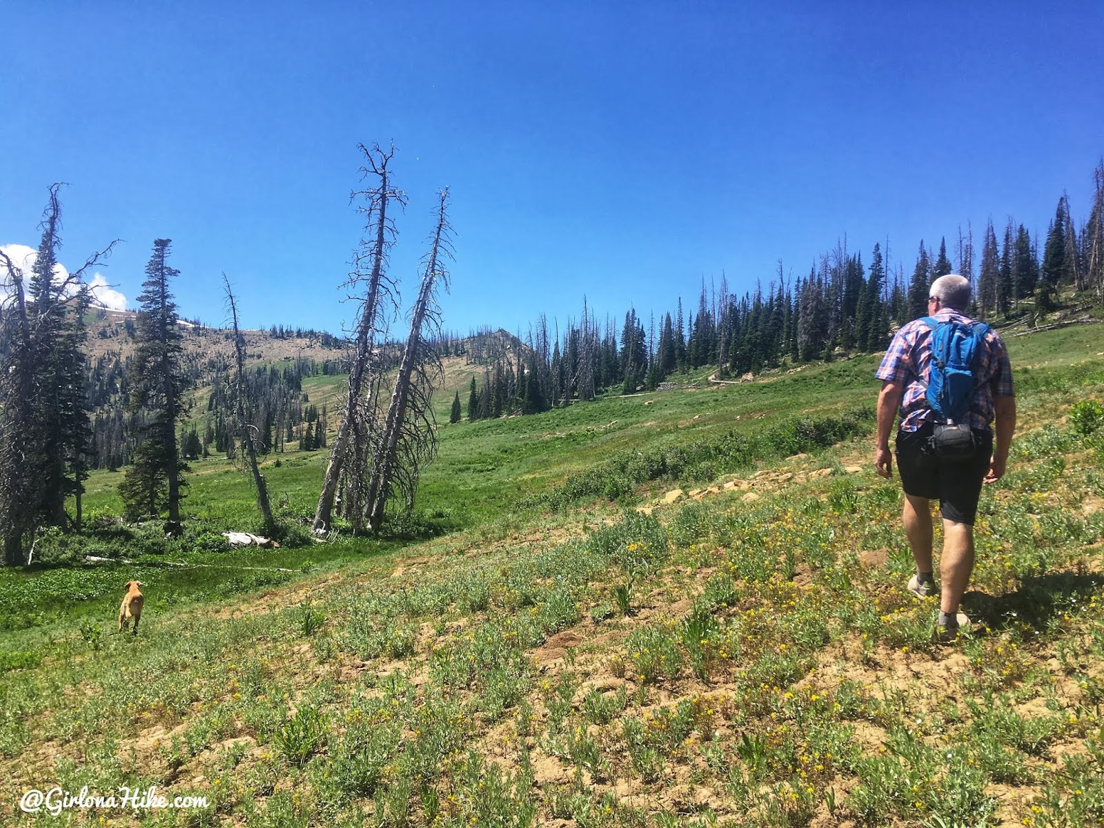
Climbing Up to the Ridgeline
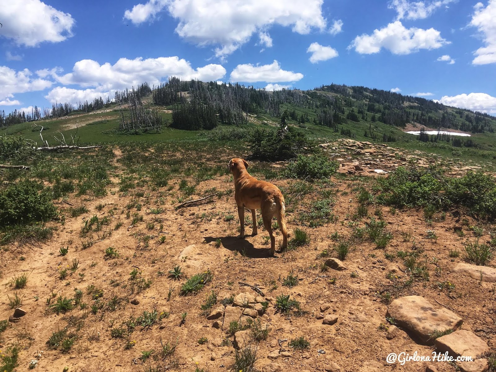
There’s no established trail at the start, so we simply aimed upward toward the ridgeline. After a short climb, we were pleasantly surprised to come across a faint trail cutting across the slope—it made the rest of the ascent much easier.
As we reached the lower section of the ridge we actually caught a trail! We weren’t expecting that at all, but it was sure nice to see. You can make out the trail faintly here.
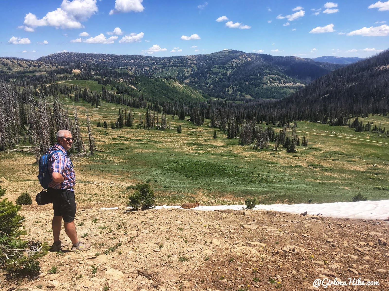
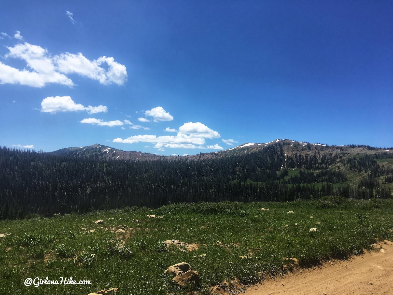
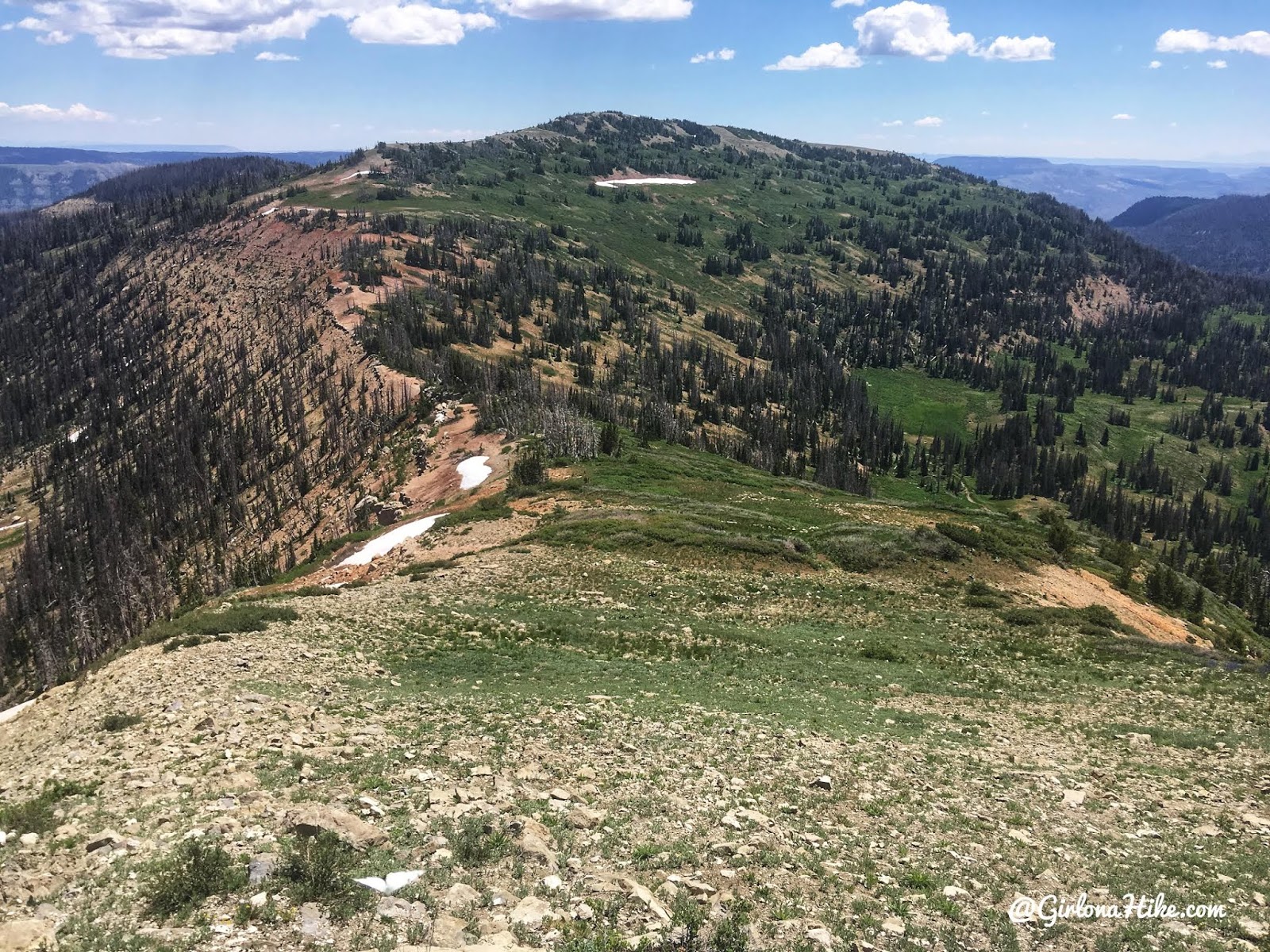
We paused along the ridge to catch our breath and take in the views—lush, green valleys stretched out below us. This ridge is incredibly scenic, and we could clearly see the road that most hikers use to access the more common saddle route.
After hiking up the ridge and following the faint trail, we came to this first really nice overlook. That road below us is the road most people continue driving to reach the popular starting point for this peak.
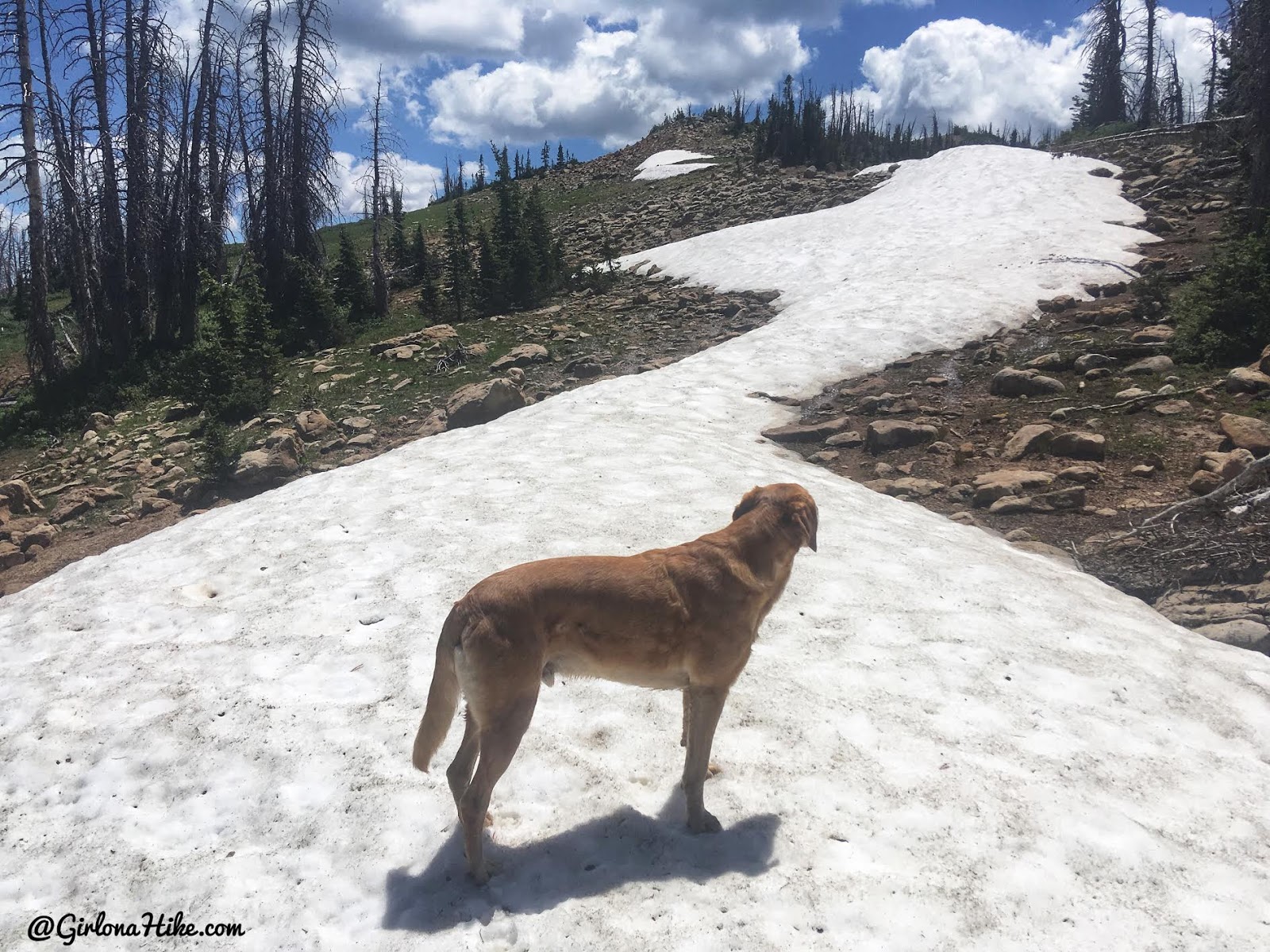
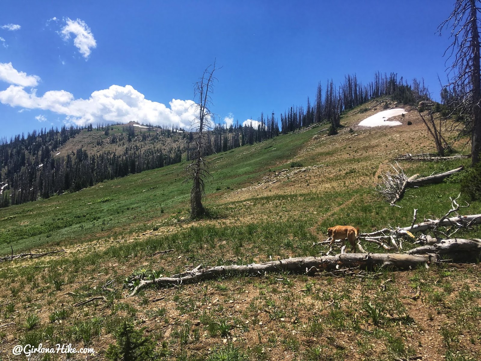
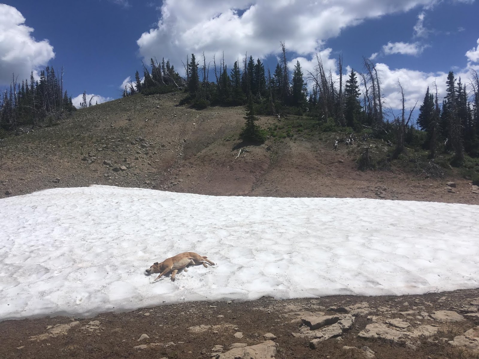
As we hiked higher, we encountered some lingering snow patches, which our dog loved for cooling off. After only 1.2 miles, we reached the summit of North Tent Mountain (11,230 ft)!
First Summit: North Tent Mountain (11,230 ft)
After only 1.2 miles we summited North Tent Mountain!
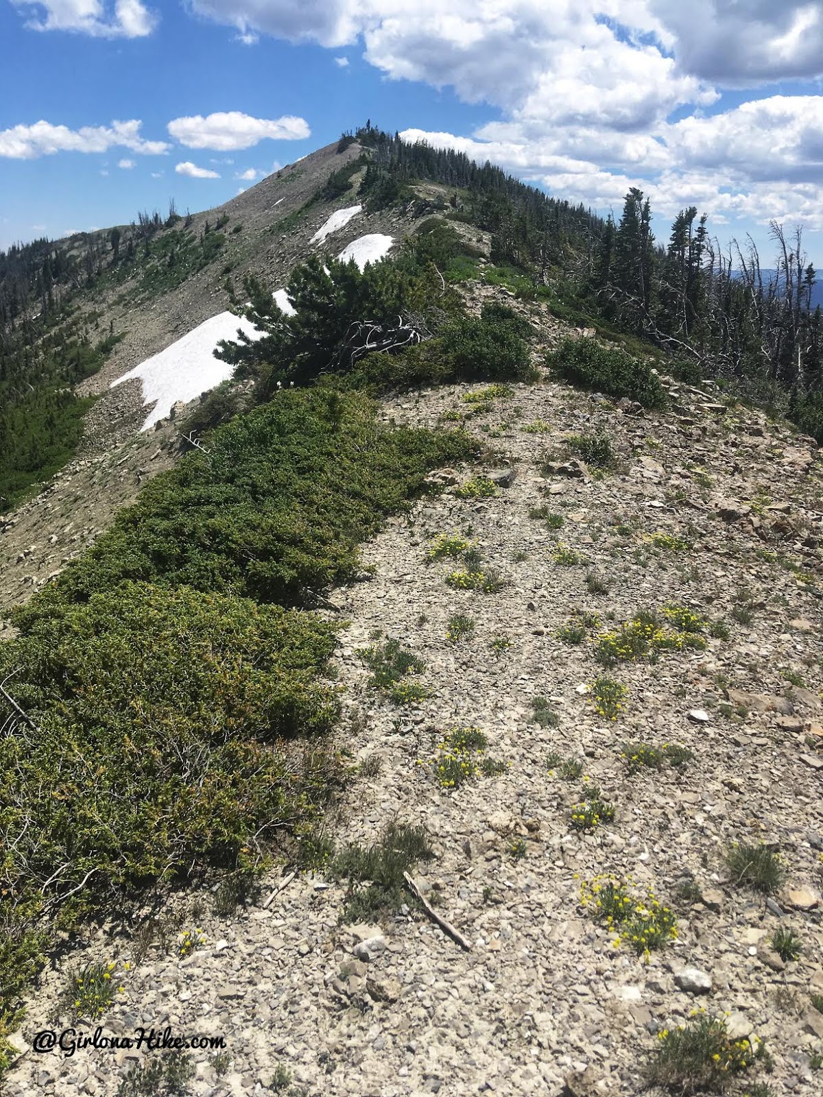
Hiking the Ridge to South Tent Mountain
From there, we continued along the ridgeline, descending slightly to the saddle. This is the point where most hikers begin their ascent to South Tent. Staying on the ridge, we followed the faint trail as it gradually climbed to our final destination.
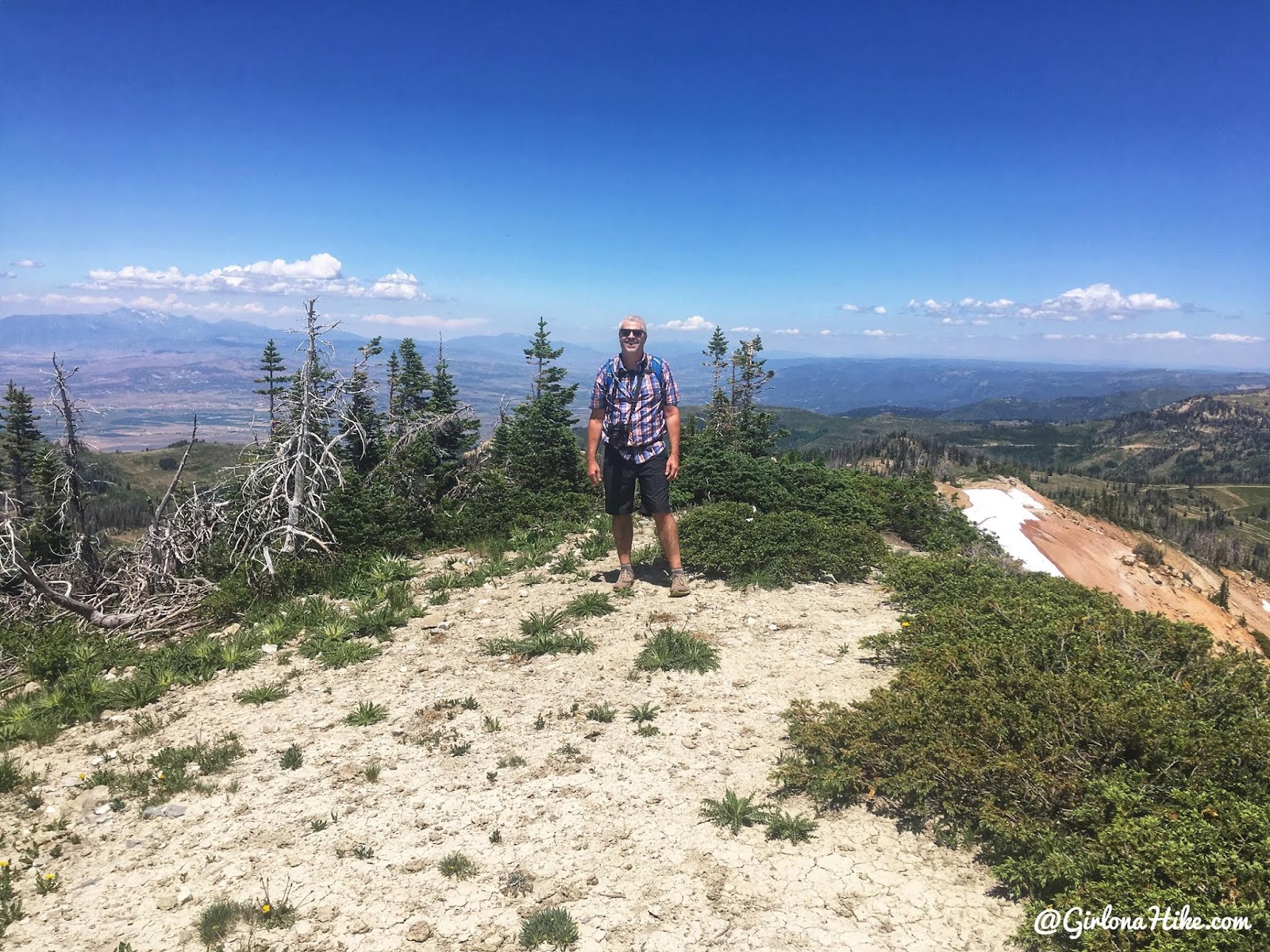
Reaching the Summit of South Tent Mountain
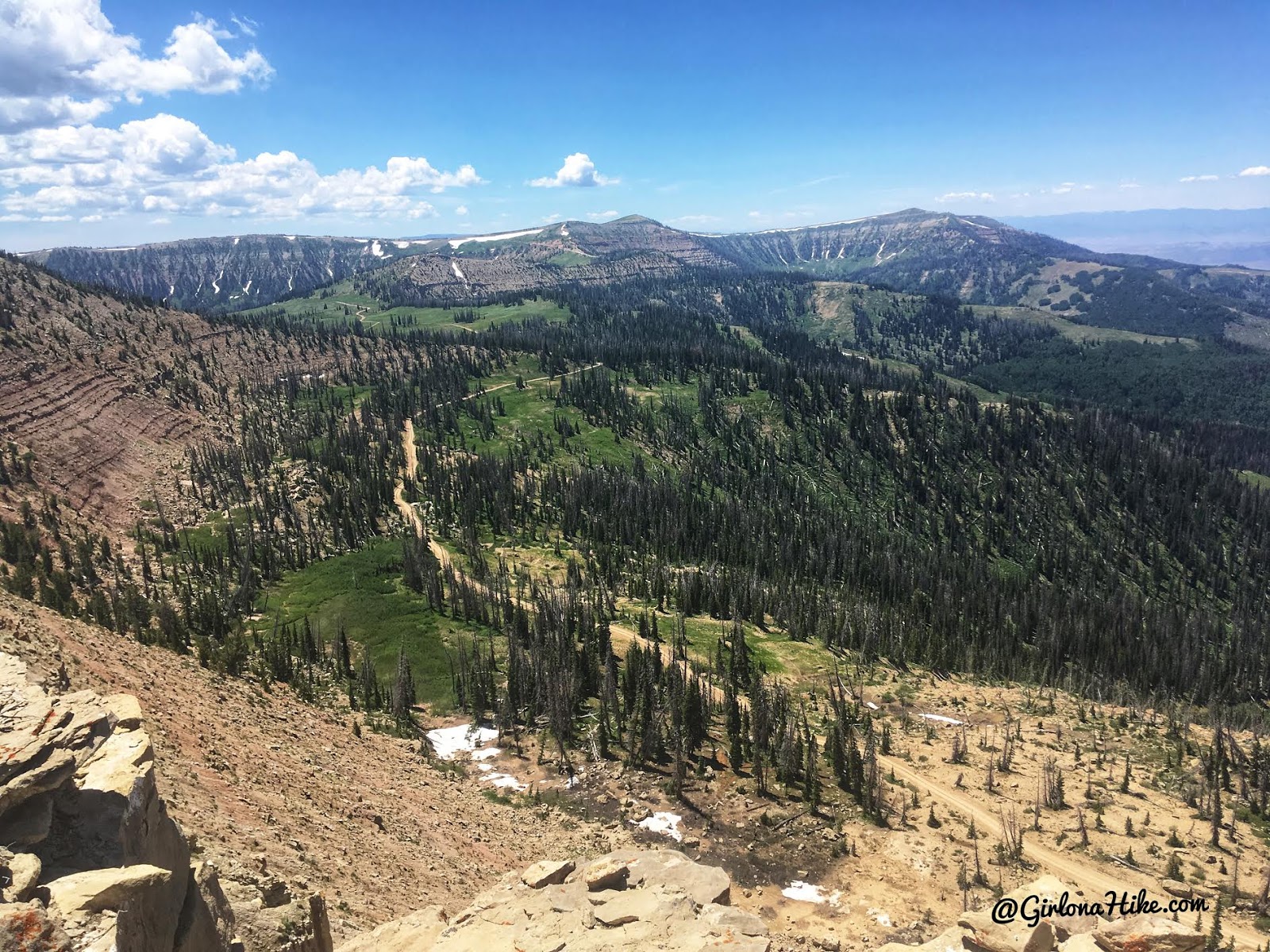
The last push to the summit was straightforward and non-technical. We reached the top of South Tent Mountain in just 1 hour and 34 minutes—at a relaxed pace! From the summit, North Tent stood directly behind us.
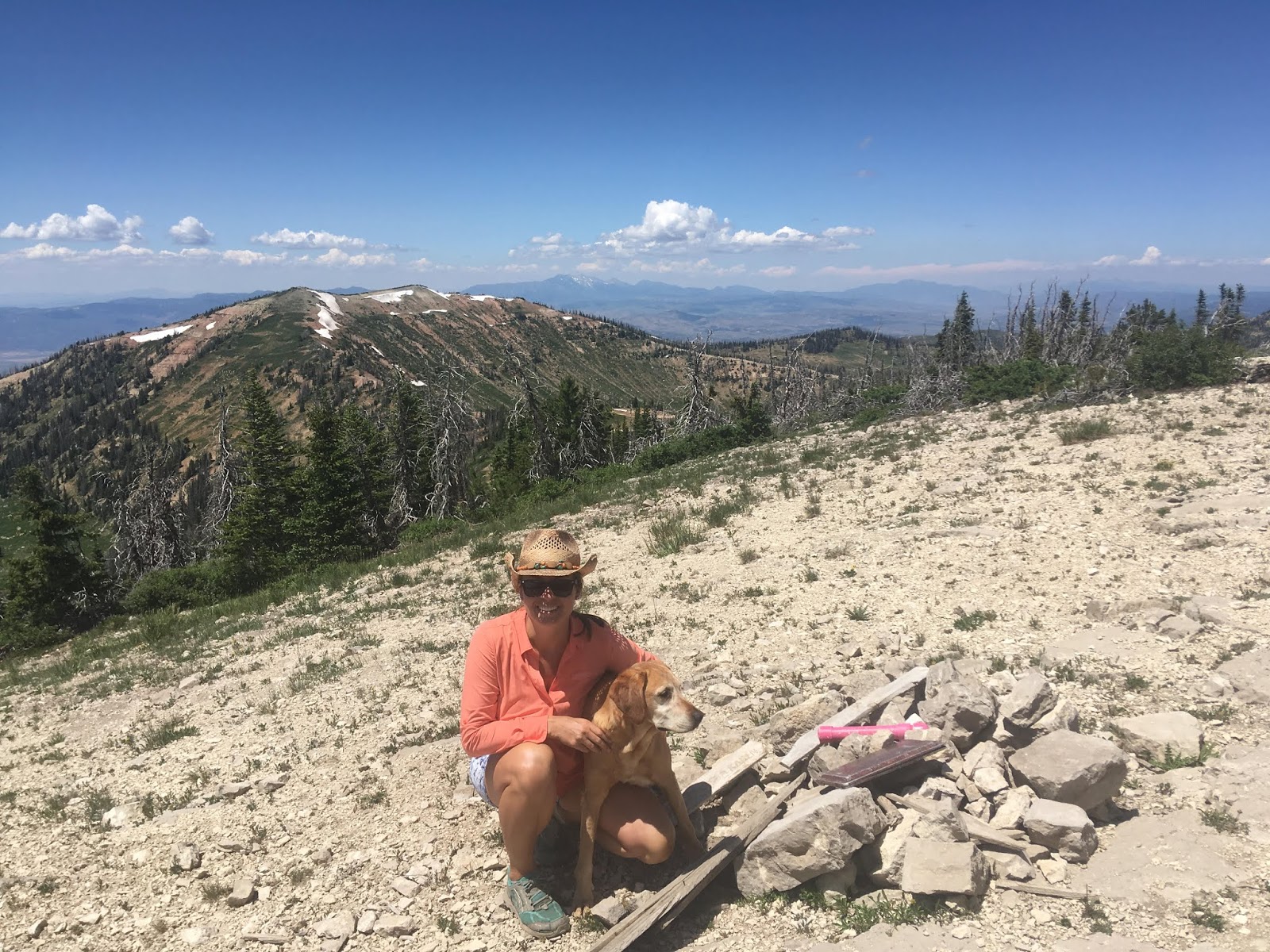
After signing the summit register on South Tent Mountain, we retraced our steps along the ridge back to our truck. It only took us 1 hour 34 minutes to reach this peak. Not bad for a casual pace! North Tent Mountain is directly behind us.
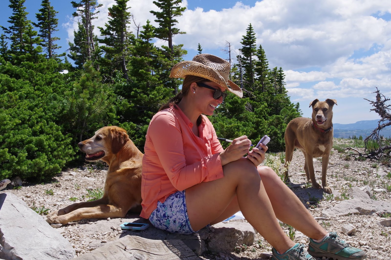
We signed the summit register, then returned the same way to hike up, along the NW ridge.
Trail Map
Light blue = drive up
Dark blue = hike
My track via Gaia GPS – the best tracking app! Get your app here for a discount.
Nearby Hike
Mine Camp Peak, Millard County High Point

Save me on Pinterest!