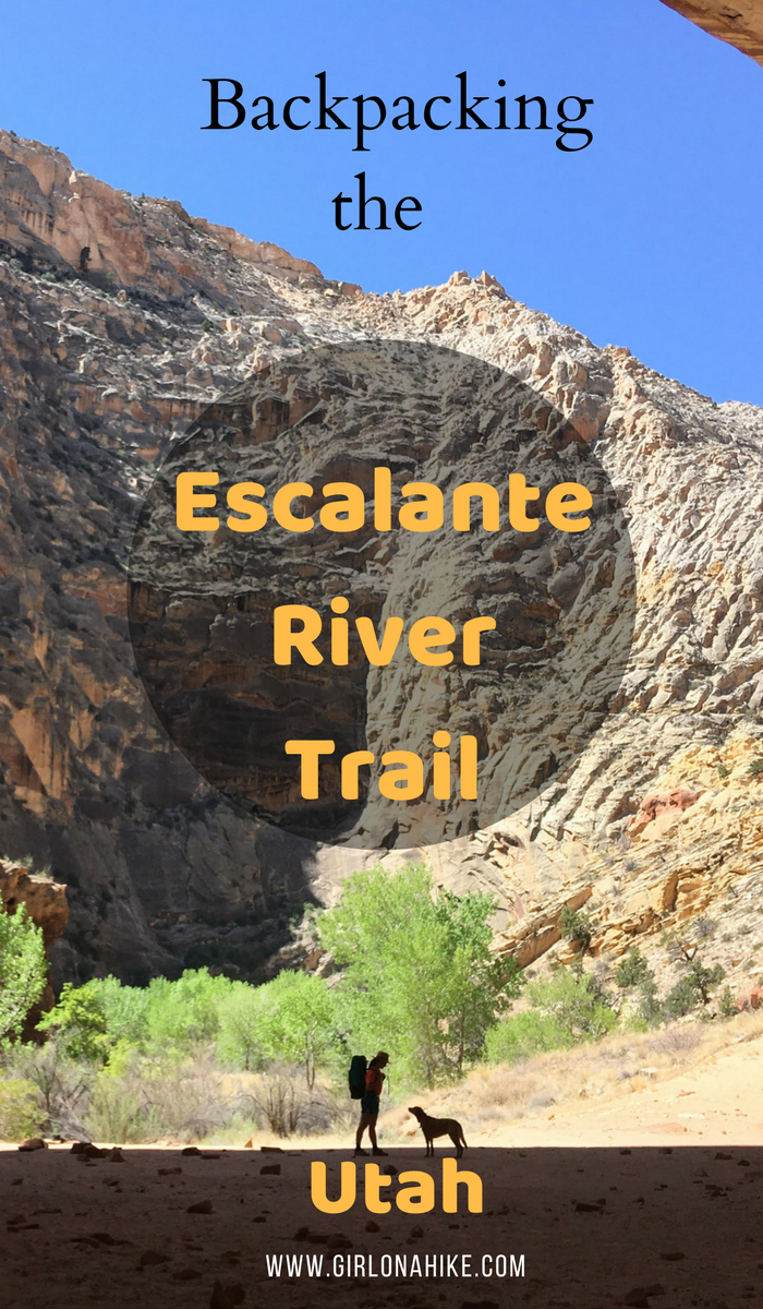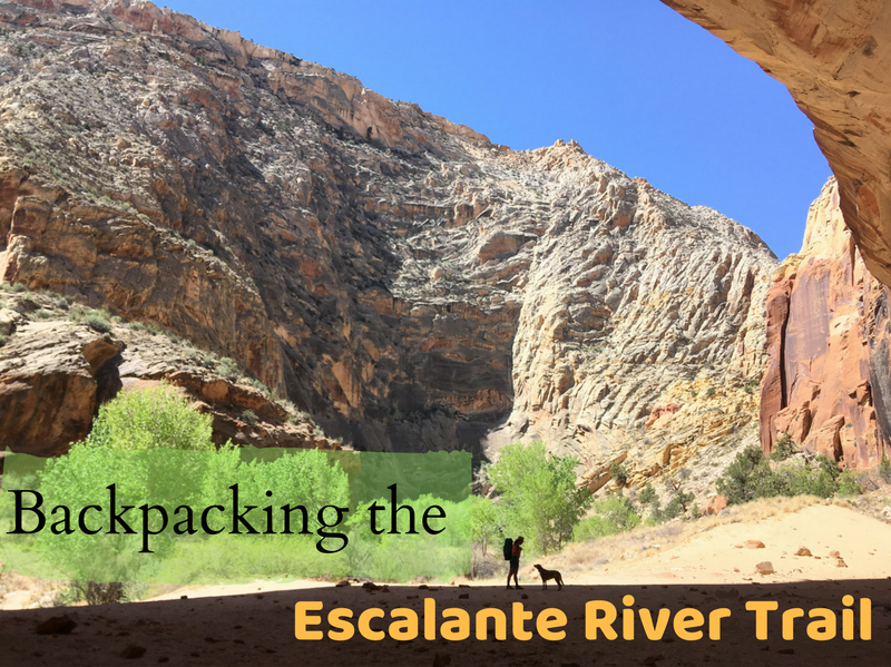
The Escalante River Trail is a stunning 15-mile point-to-point backpacking route located near the town of Escalante, Utah, within Grand Staircase-Escalante National Monument (GSENM). While the full Escalante River stretches 87 miles, this overnight trip offers a beautiful glimpse into one of Utah’s most scenic canyons.
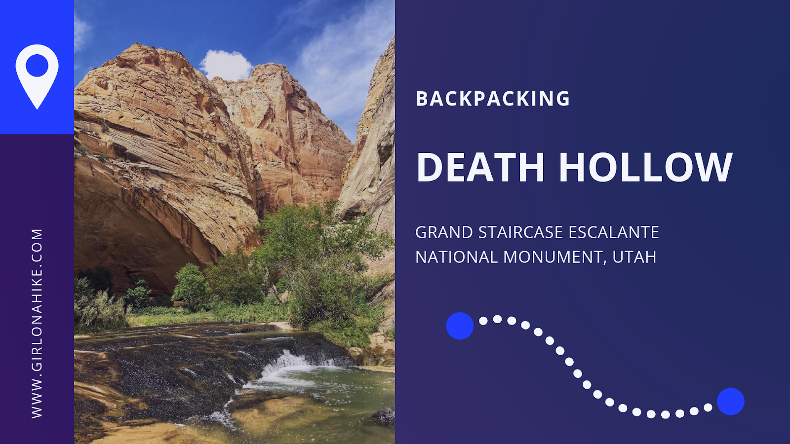
Backpacking the Escalante River Trail – Grand Staircase-Escalante National Monument
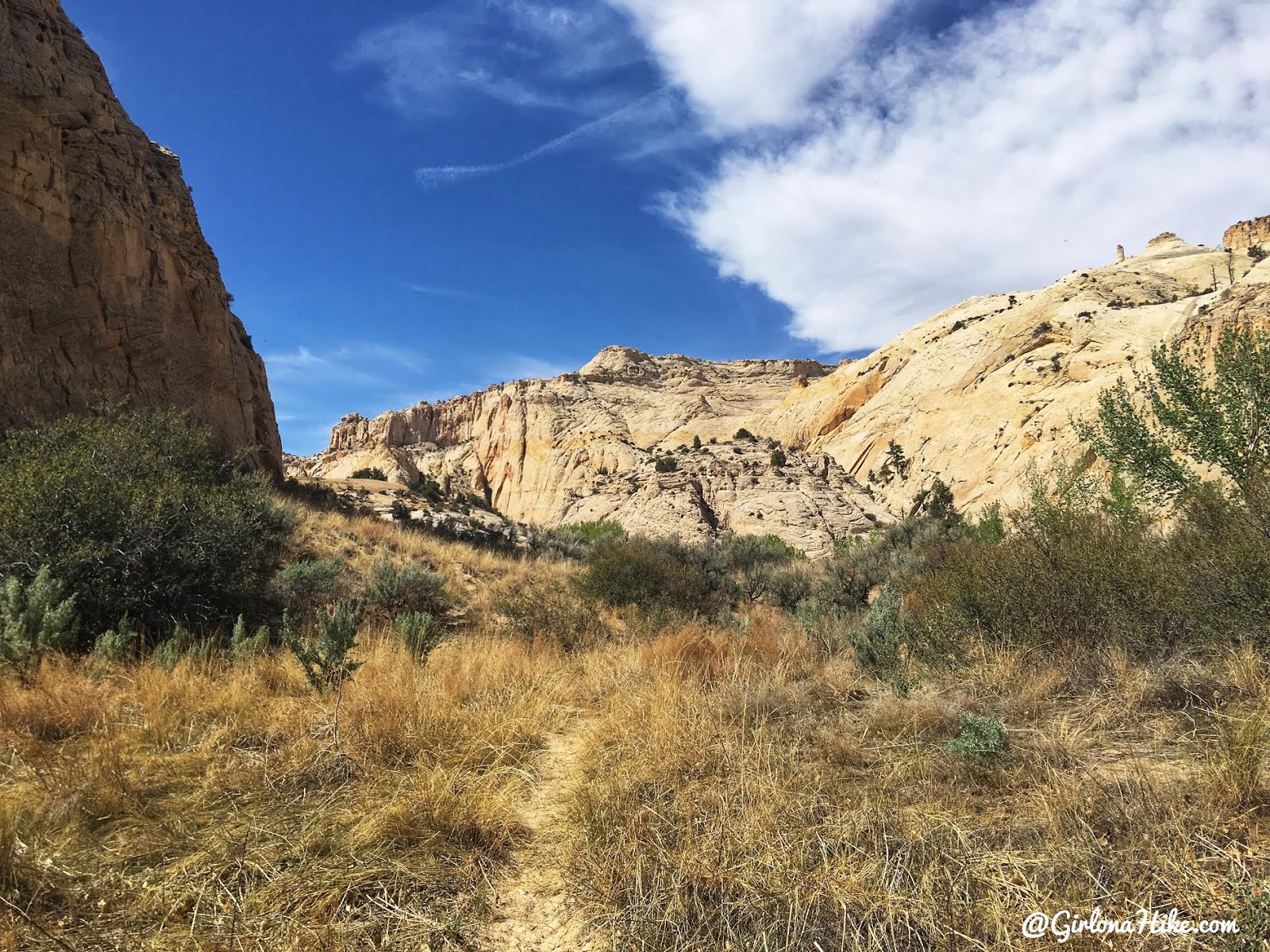
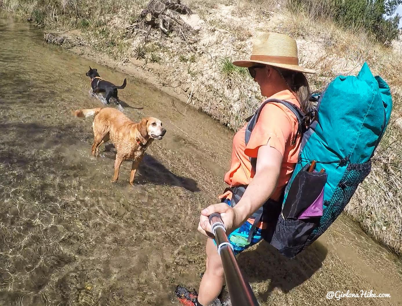
Hiking through the Escalante River means the river is your trail. You’ll be wading, splashing, and hiking in and out of the water for most of the route. On a warm, sunny day with blue skies overhead, it’s an unforgettable experience. Towering Navajo sandstone walls rise around you as the canyon twists and turns, revealing hidden gems at every bend.
Expect to see:
The Escalante Natural Bridge
A natural arch
Petroglyphs and pictographs
Ruins tucked into alcoves
This trail truly has it all.
Recommended Route: East to West
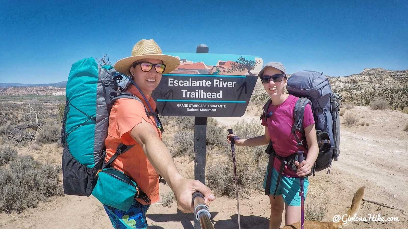
I recommend backpacking east to west for the best experience. Begin at the Escalante River Trailhead off Highway 12, and end at the Escalante River Trailhead closer to town (referred to here as the “town TH” for clarity, since both trailheads share the same name).
Although this direction takes you upstream, the current is mild, and the elevation gain is barely noticeable. The main benefit? The canyon builds to a dramatic finish. Near the end, sandstone walls soar over 1,000 feet high, making for a grand finale to your hike.
Gear Tips for Hiking in Water
Since you’ll be in and out of the water all day (and both days), footwear is crucial. Here’s what I recommend:
-
Closed-toe water shoes for protection and comfort
-
Neoprene socks to prevent blisters after hours in wet shoes
-
Avoid open sandals like Chacos or Tevas for this route—pebbles and silt can easily get in
Directions
Here’s your starting point, off HWY 12.
GPS: 37.775962, -111.419556
Here’s your end point, at the town TH.
GPS: 37.7713728,-111.5815228
Trail Info
Distance: 15 miles point to point
Elevation gain: 760 ft
Time: 1 night minimum
Dog friendly? Yes, off leash!
Kid friendly? No due to distance, see notes below
Fees/Permits? Yes, you do need a free backcountry camping permit which you can pick up at the visitor center or at the TH.
Escalante River Trail FAQs
When is the best time to backpack the Escalante River Trail?
The best months to backpack this route are April and October. Temperatures are mild, and in spring, desert wildflowers are often in bloom. Avoid the summer, as it brings extreme heat and the monsoon season, increasing the risk of flash floods. Winters can be cold with strong winds, so always check the weather forecast before your trip and be aware of flash flood warnings.
Do I need a permit to backpack here?
Yes, a free backcountry camping permit is required. You can pick one up at either:
- The Escalante Interagency Visitor Center (recommended)
- The trailhead kiosks (though they often run out)
It’s best to stop by the visitor center to get your permit and ask about current trail and water conditions. Call ahead to confirm their hours:
📍 Escalante Interagency Visitor Center
755 W. Main St., Escalante, UT 84726
📞 435-826-5499
Can I bring my dog? Is this trail dog-friendly?
Yes, dogs are allowed off-leash on this trail. However, always keep a leash handy in case you encounter wildlife. This is a challenging hike for dogs, so your pup should be in good shape and able to handle long distances, hot sand, and water crossings. Dog poop doesn’t have to be packed out, but always bury waste responsibly. Dog booties are recommended to protect paws from hot sand.
Is this hike kid-friendly?
This route is not ideal for young children, but experienced teenagers who can carry their own pack and water may enjoy the adventure. Due to the distance, terrain, and constant water crossings, this is a better trail for older, more experienced hikers.
How deep is the water?
Water levels vary depending on snowpack and the season. Typically, expect depths ranging from ankle to knee-deep. During spring runoff, the water may rise slightly but is usually clear and easy to filter directly from the Escalante River. Always carry a reliable water filter.
Can I hike this trail in either direction?
Yes! The trail can be hiked East to West or West to East:
- West to East (town TH to HWY 12 TH) is the more popular route and follows the river downstream.
- East to West (HWY 12 to town TH) is what we did, because I wanted to end with the most scenic section of the canyon closer to town. The towering cliffs made for an epic finish!
Either direction works—just be sure to download a map or bring a paper map with you.
How difficult is the Escalante River Trail?
The trail isn’t technical, but it can be challenging depending on your:
- Backpacking experience
- Fitness level
- Pack weight
- Weather conditions
You’ll hike through sand, brush, water, and slickrock, so previous backpacking experience is recommended. Expect to carry 30–40 lbs for several hours at a time. The lighter your pack, the easier the trek.
Do I need a shuttle?
Yes—if you only have one vehicle, you’ll need a shuttle or hitch a ride. We used Escape Goats in Escalante and highly recommend them.
- 🚗 We parked at the town trailhead, and they drove us to the HWY 12 trailhead.
- 🐶 They allow dogs.
- 💵 Cost: $60 total, cash only (this may have increased over the years)
- 📆 Make your reservation at least a week in advance.
-
🌄 They have 4WD vehicles if needed and are locally owned.
Day 1: HWY 12 Trailhead to Campsite
📍 Starting Point: Escalante River Trailhead off HWY 12
🥾 Distance: 6.5 miles
⬆️ Elevation Gain: 272 feet
⏱ Time: Approximately 3.5 hours
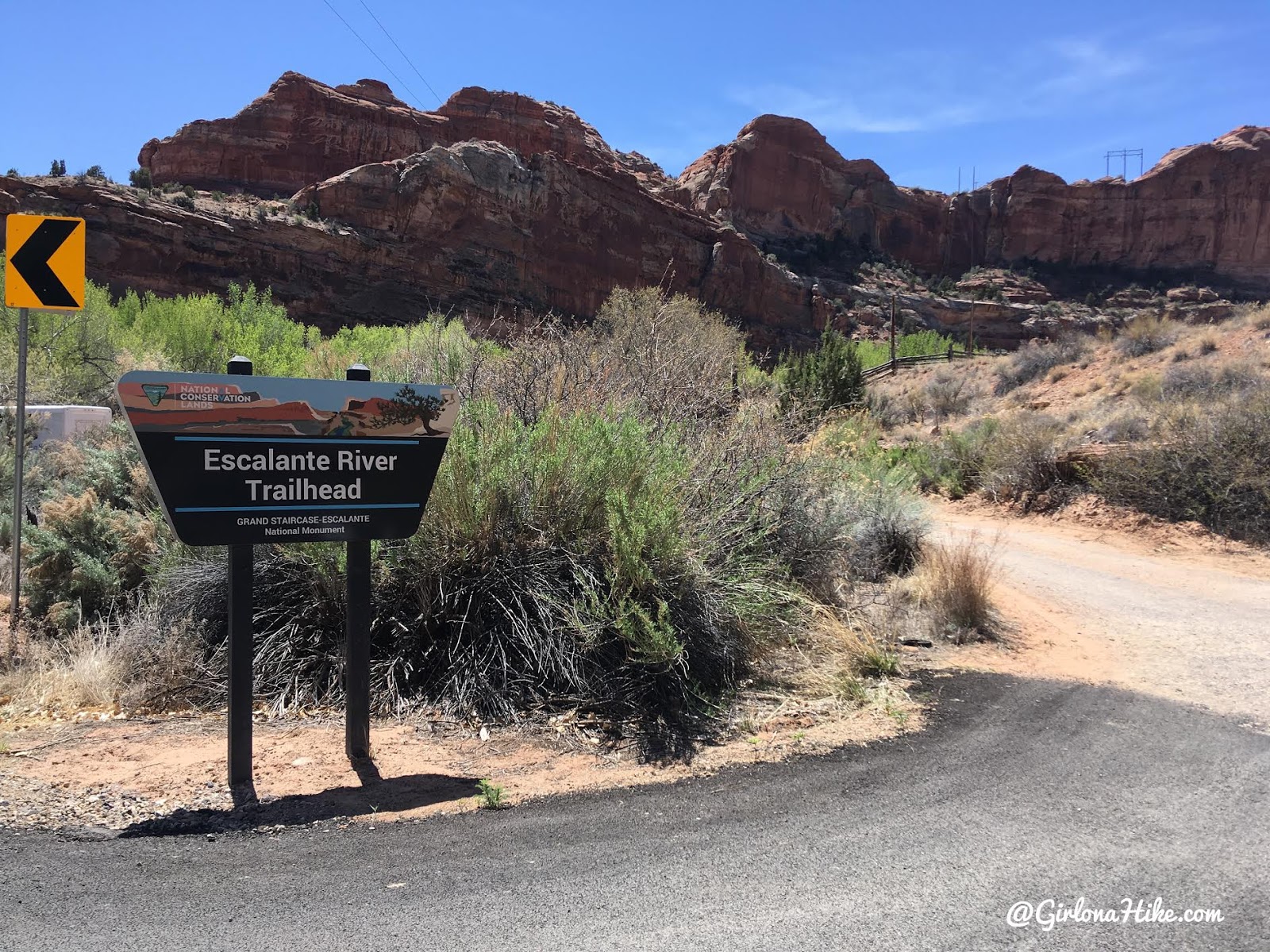
The shuttle dropped us off at the Escalante River TH off HWY 12. The parking lot is kind of small, only a handful of cars can fit, but there’s street parking as well along the highway.
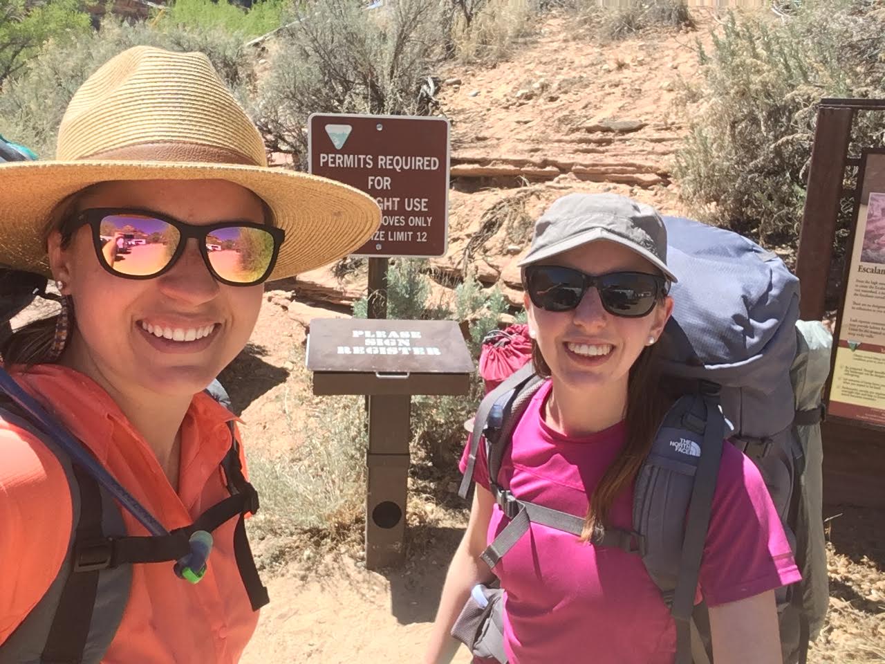
Ready to go with @explore.with.heather! Girls trip woot woot!
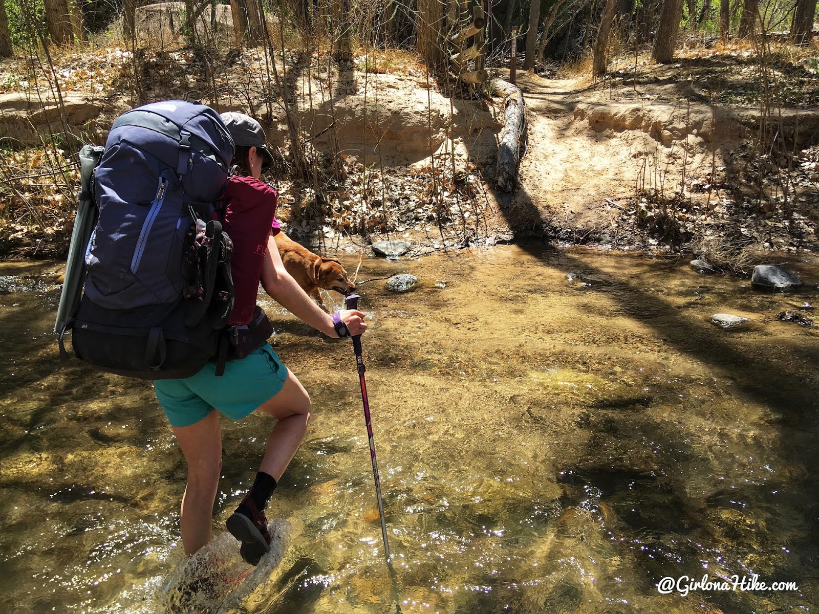
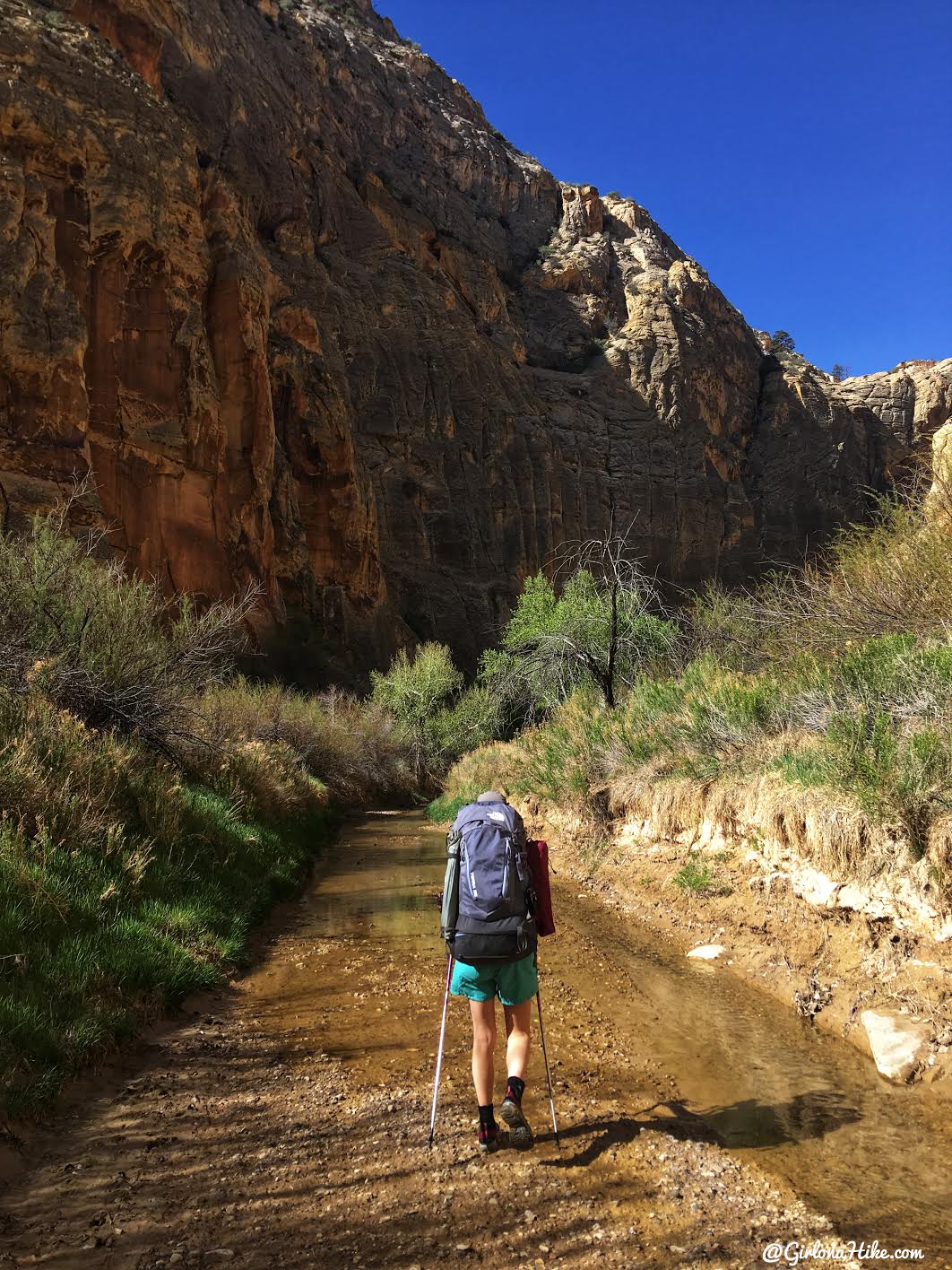
Better have your water shoes on – you’ll immediately cross the Escalante River.
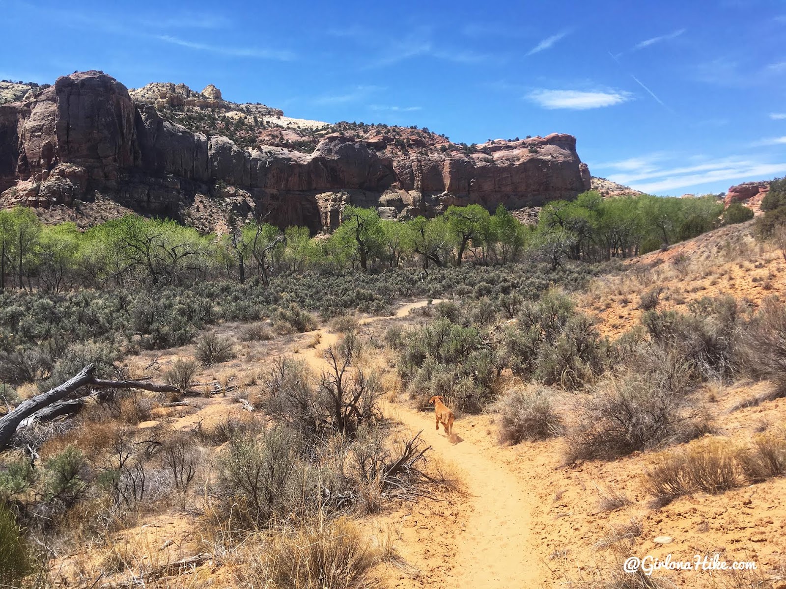
After the initial water crossing, you’ll hike a very dry, sandy stretch of trail for about a mile. There’s a few river crossings, but most of the first section is quite dry.
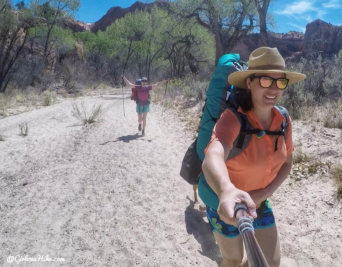
Yahoo! Backpacking time, our favorite! Make sure you have plenty of sunblock, hat, and water. It was already so hot for this time of year!
Escalante Natural Bridge
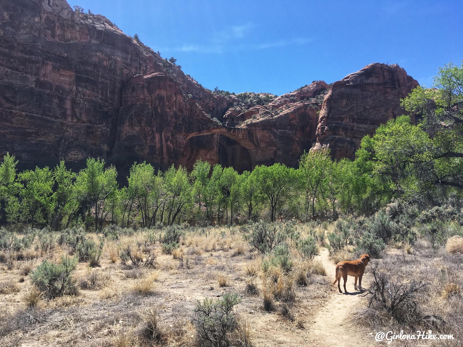
Around 1.5 miles you’ll see the Escalante Natural Bridge.
It’s worth a quick stop to hike right underneath it, but hard to get a good photo.
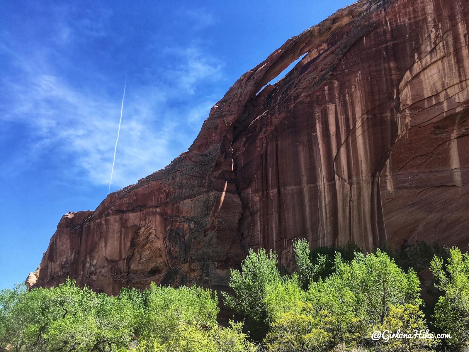
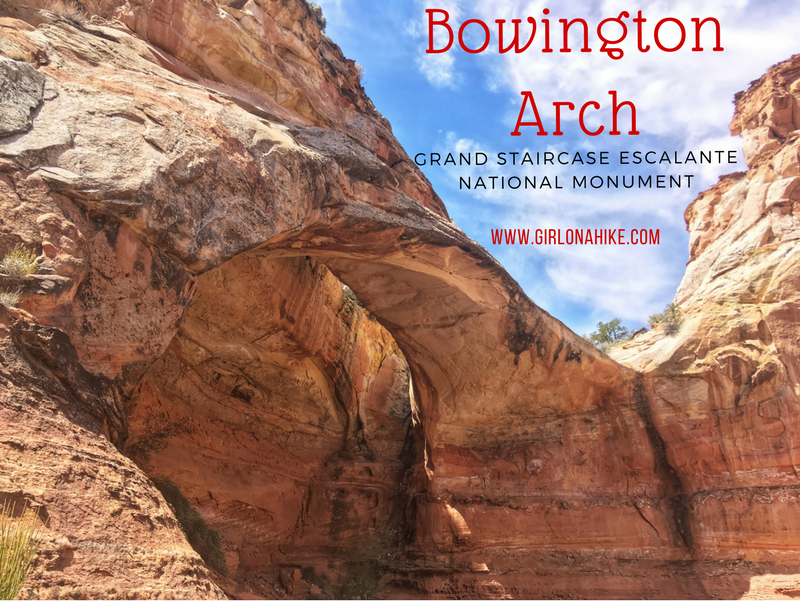
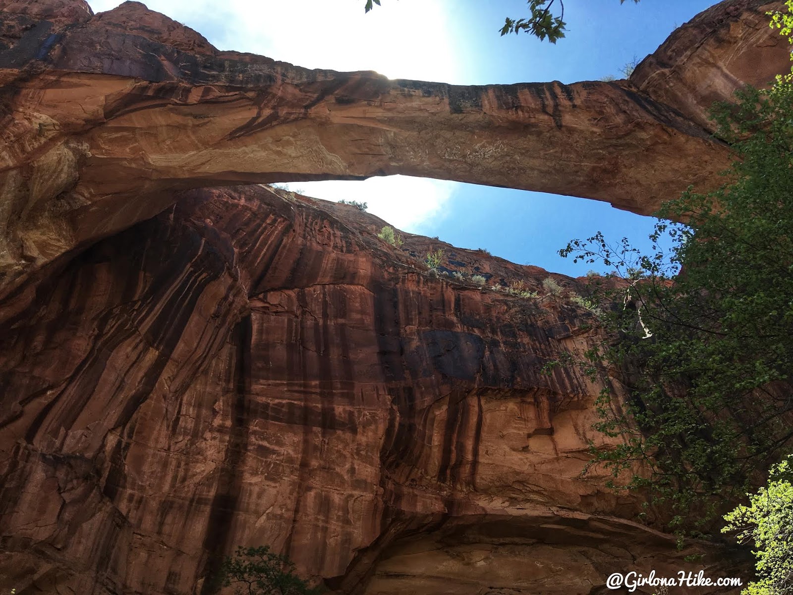
About 0.3 miles past the natural bridge, you’ll see a natural arch. The best view is about 0.5 miles past the bride, when you look back.
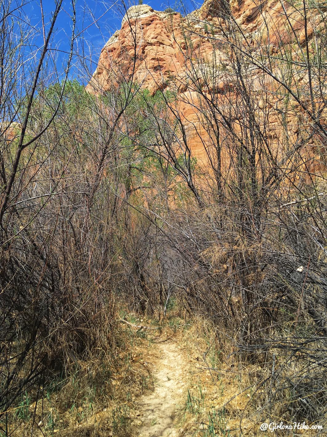
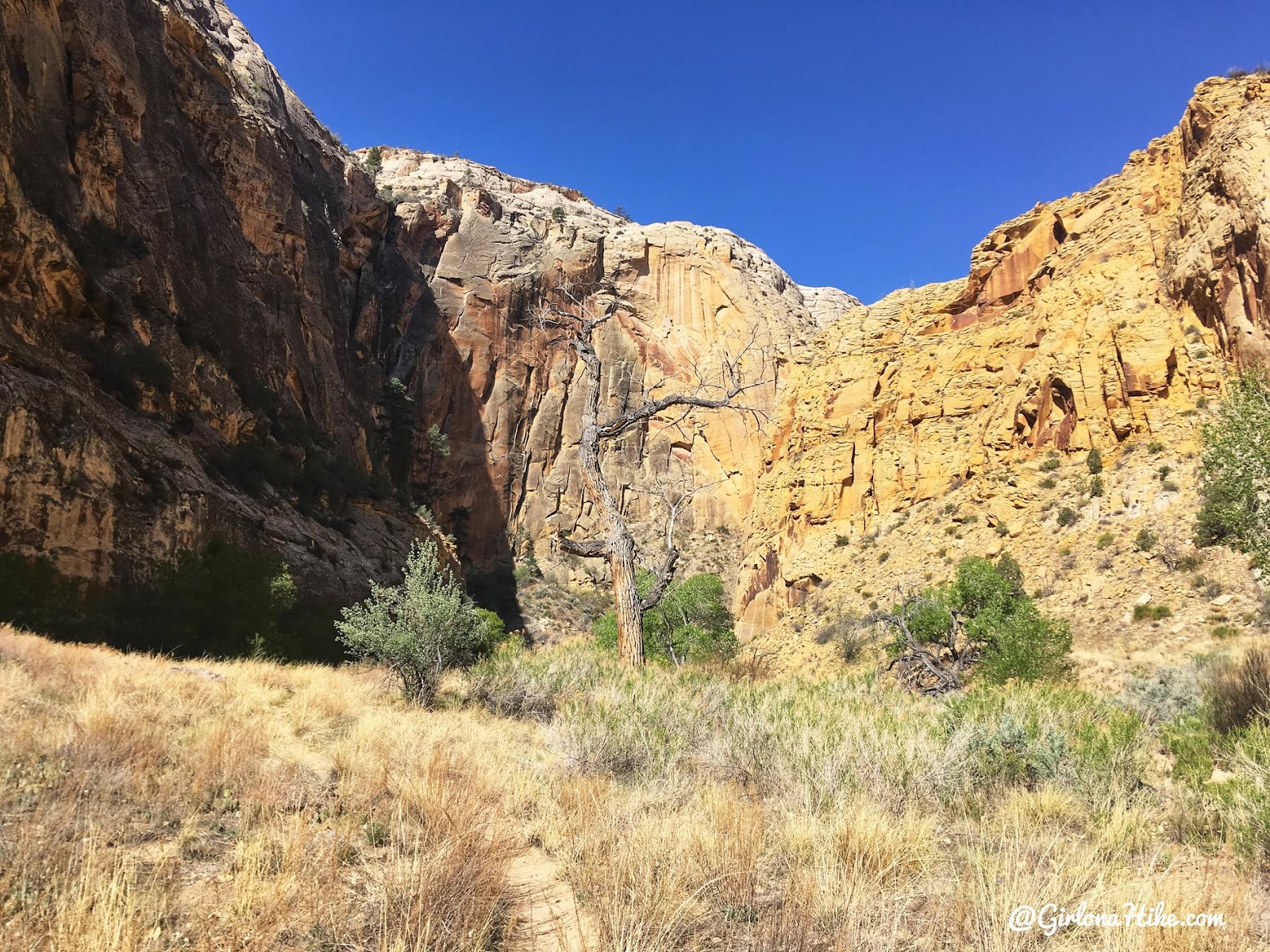
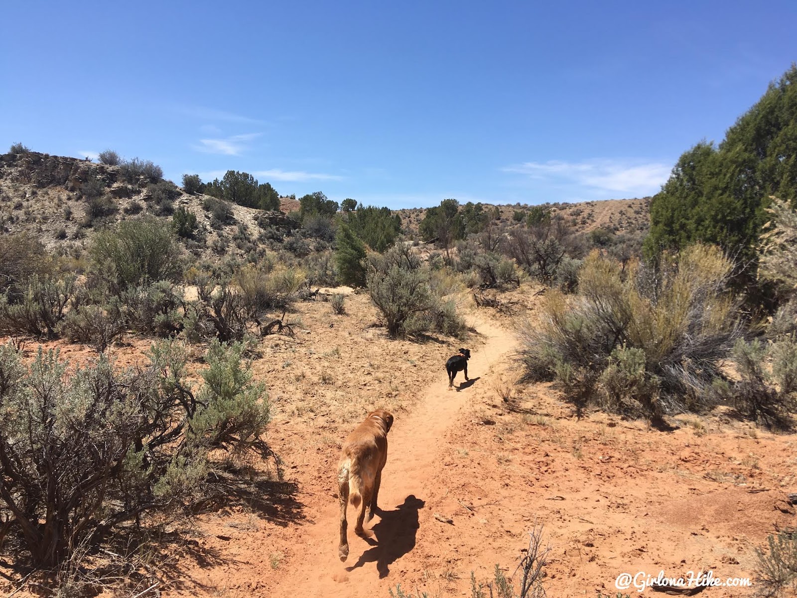
Often times the trail was thick with brush and tall grass.
It ended up being easier and more enjoyable to just walk in the river. If you really wanted to, you could hike the entire route in the water however, it’s much slower going. It was sometimes necessary for us to walk in the river though, because the dogs would get too hot and thirsty.
Petroglyphs
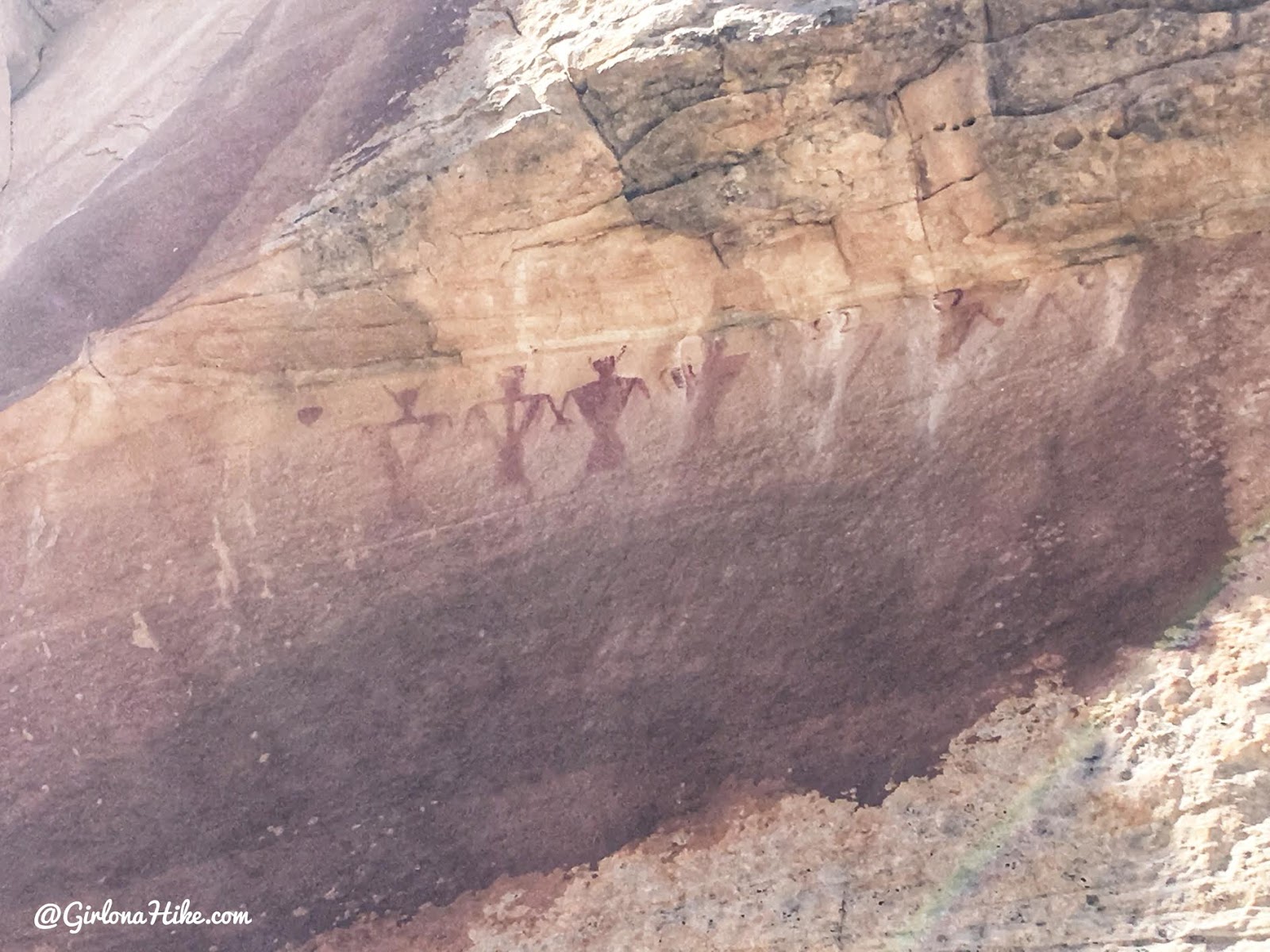
On the North side of the canyon wall, you may see these petroglyphs. They are somewhat higher up on the wall and can easily be missed.
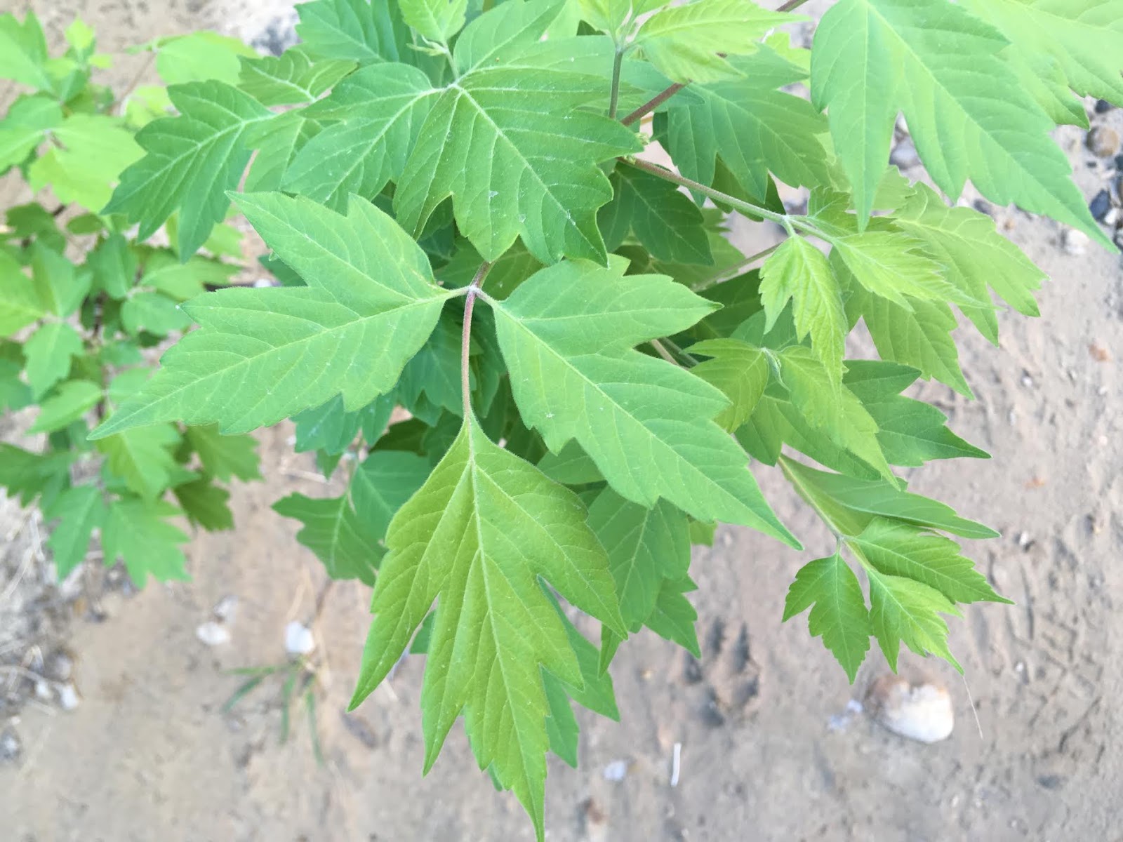
Poison oak is very prevalent along this route. It’s not so bad that you need to wear pants, but definitely keep an eye out for it. Remember “when in three, leave them be”. If you or the dogs rub up against it, rinse yourself with water as soon as you can. Splash the dogs off too – you don’t want them to cuddle you then get it on you.
More grassy sections – these parts also have quite a bit of cactus right on the sides of the trail. This is why I always suggest wearing closed-toe water shoes.
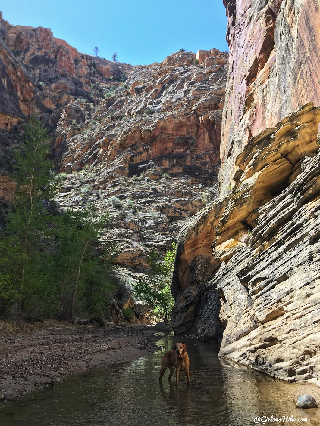
Ahh, back in water…the Death Hollow Confluence is right around the corner.
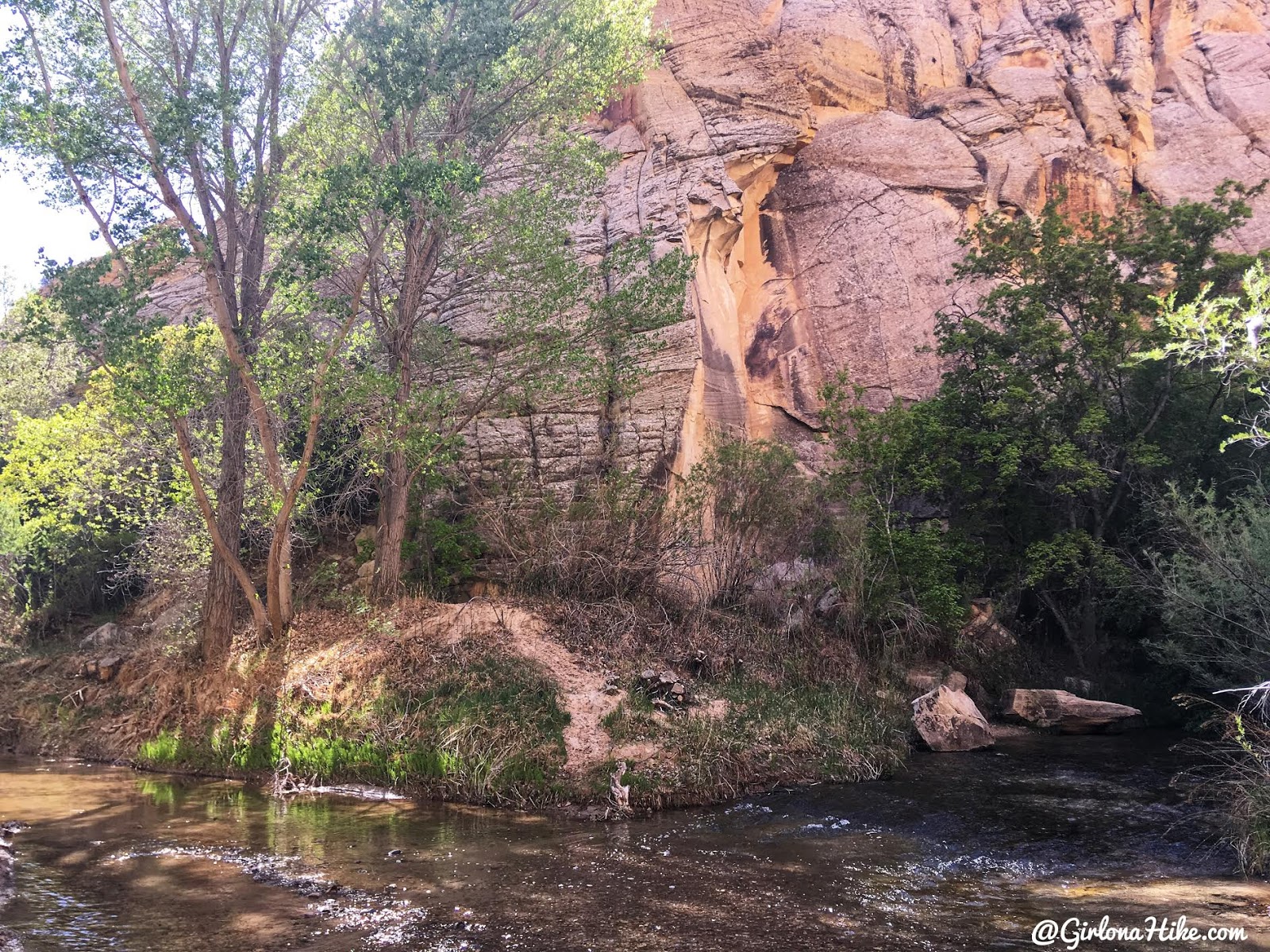
The Death Hollow Confluence comes in from the right (North). On the left, there is a large, flat opening to camp. You should be here in 6.5 miles from HWY 12.
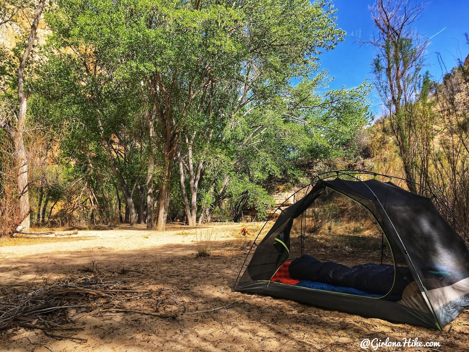
Home for the night! On weekends this campsite could be very popular. We backpacking on a Wednesday to Thursday and only saw a few day hikers, and then didn’t see anyone else for a total of 8 miles. Had the place to ourselves! There’s plenty of shade and trees to set up a hammock. Remember that no fires are allowed in GSENM.
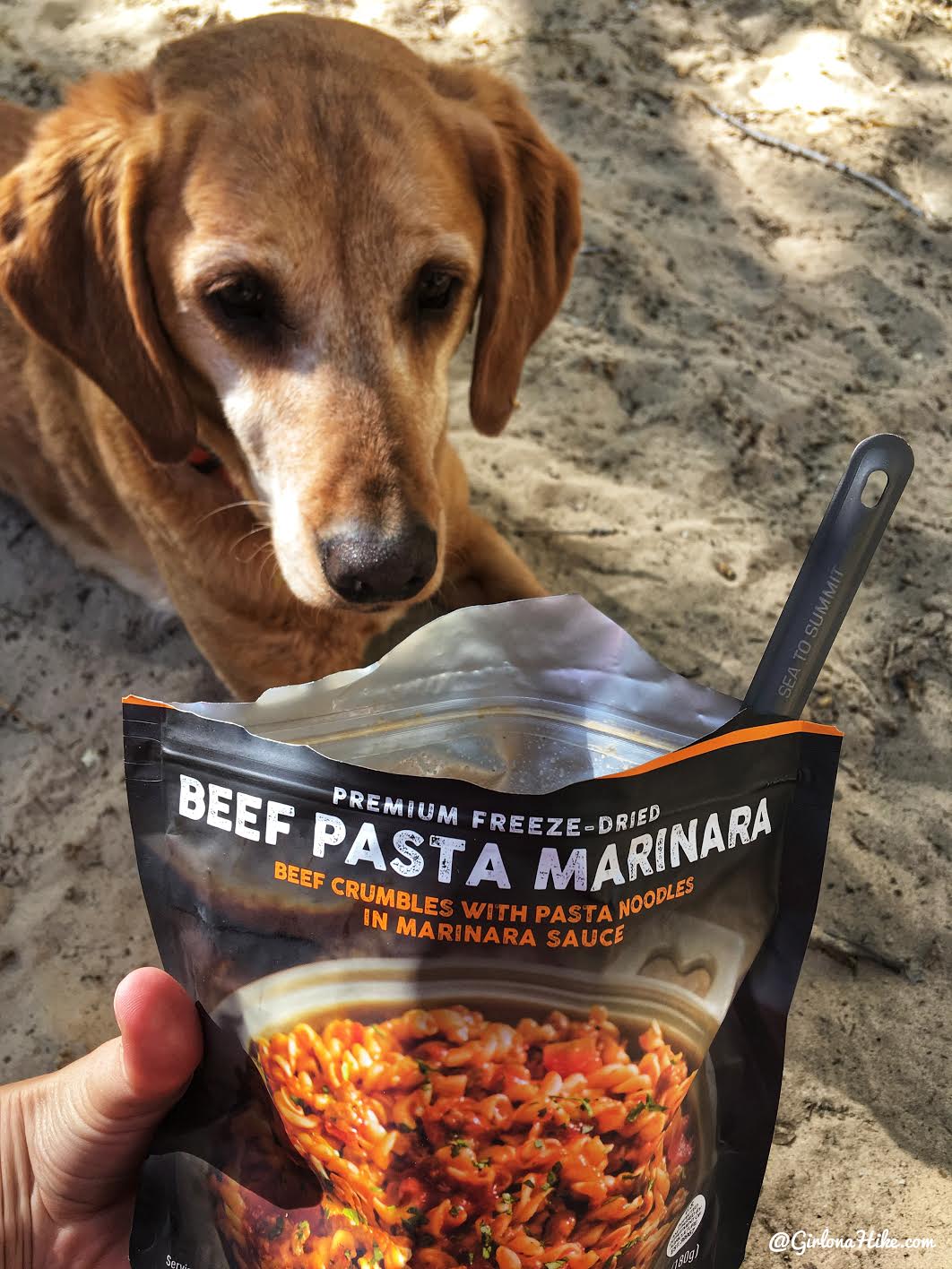
For dinner, I tested out a new brand of dehydrated meal from Peak Refuel. You can buy them on Amazon. I ate this beef pasta then granola for breakfast and I thought both were pretty good. To be honest, all of the dehydrated meals (Mountain House & Backpackers Pantry) pretty much taste the same to me.
Day 2: Campsite to Town Trailhead
🥾 Distance: 8.2 miles
⬆️ Elevation Gain: 488 feet
⏱ Time: Approximately 4 hours
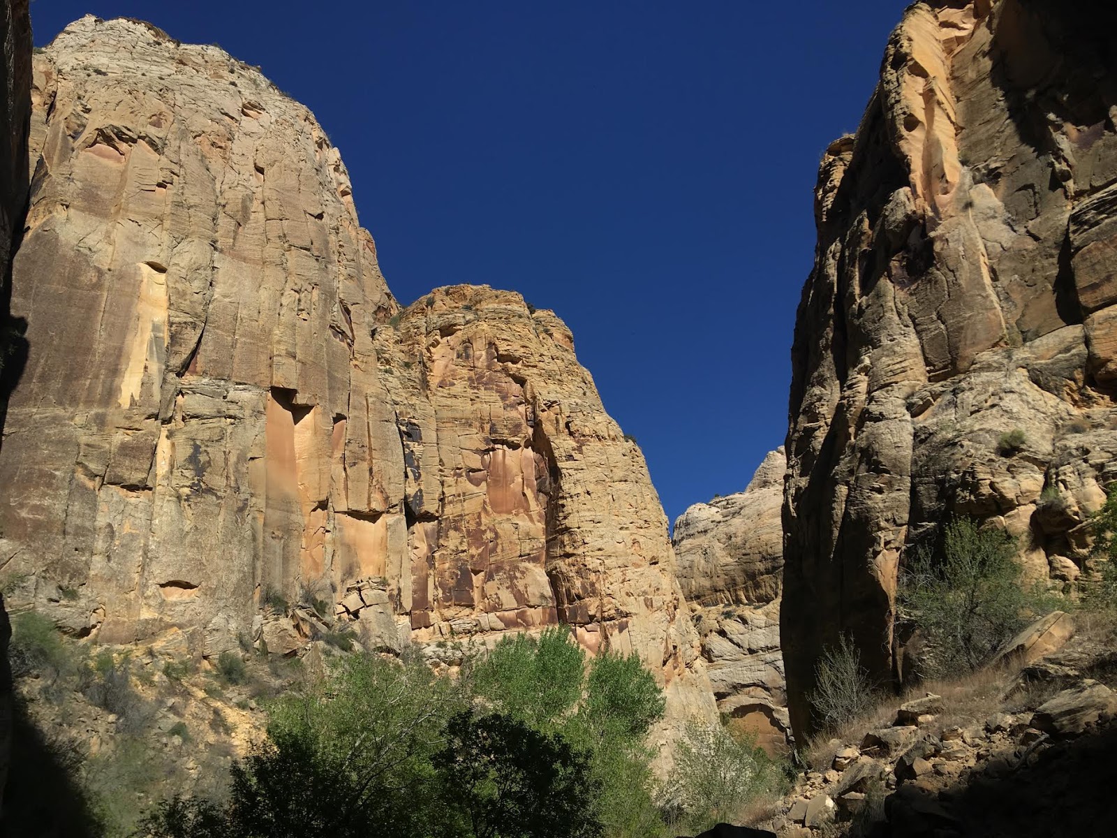
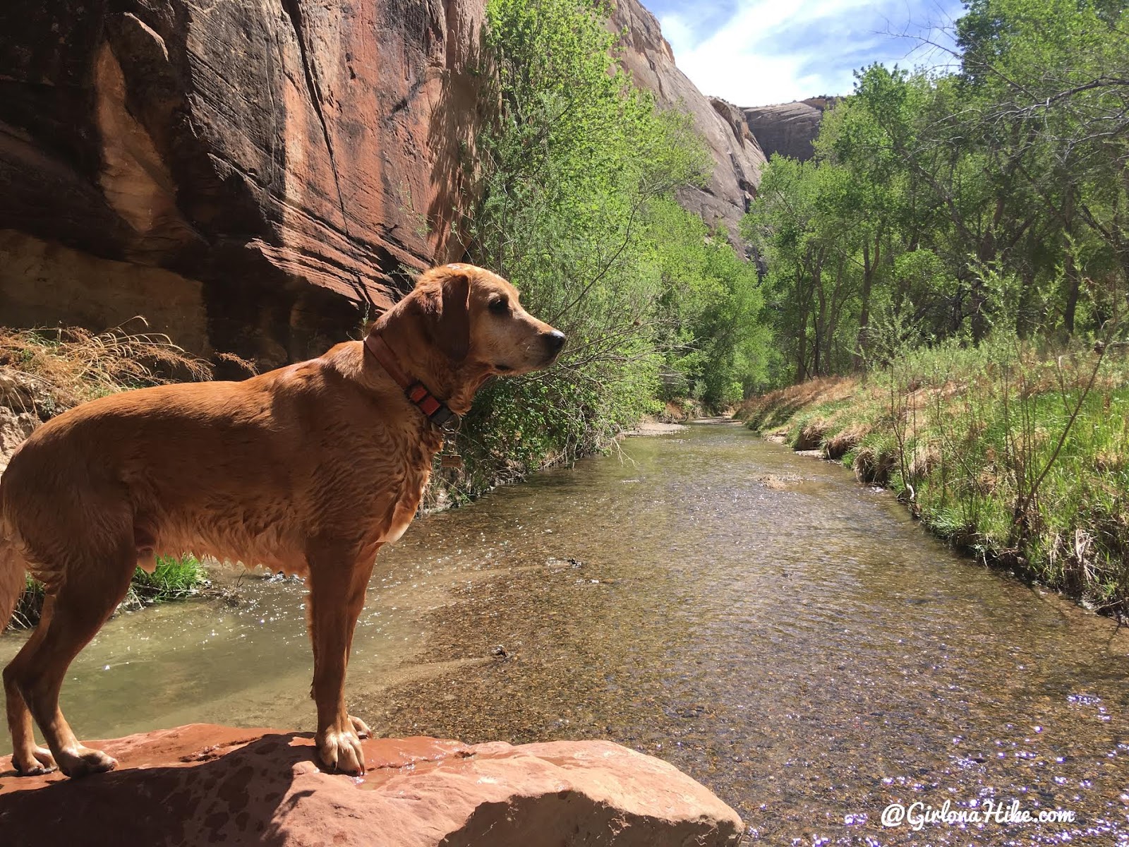
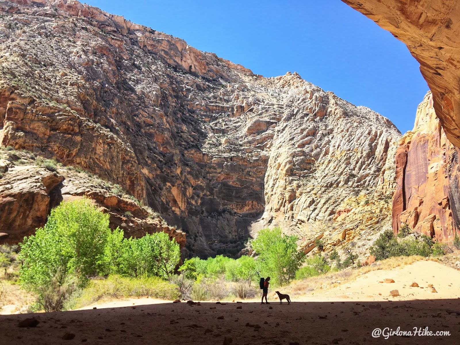
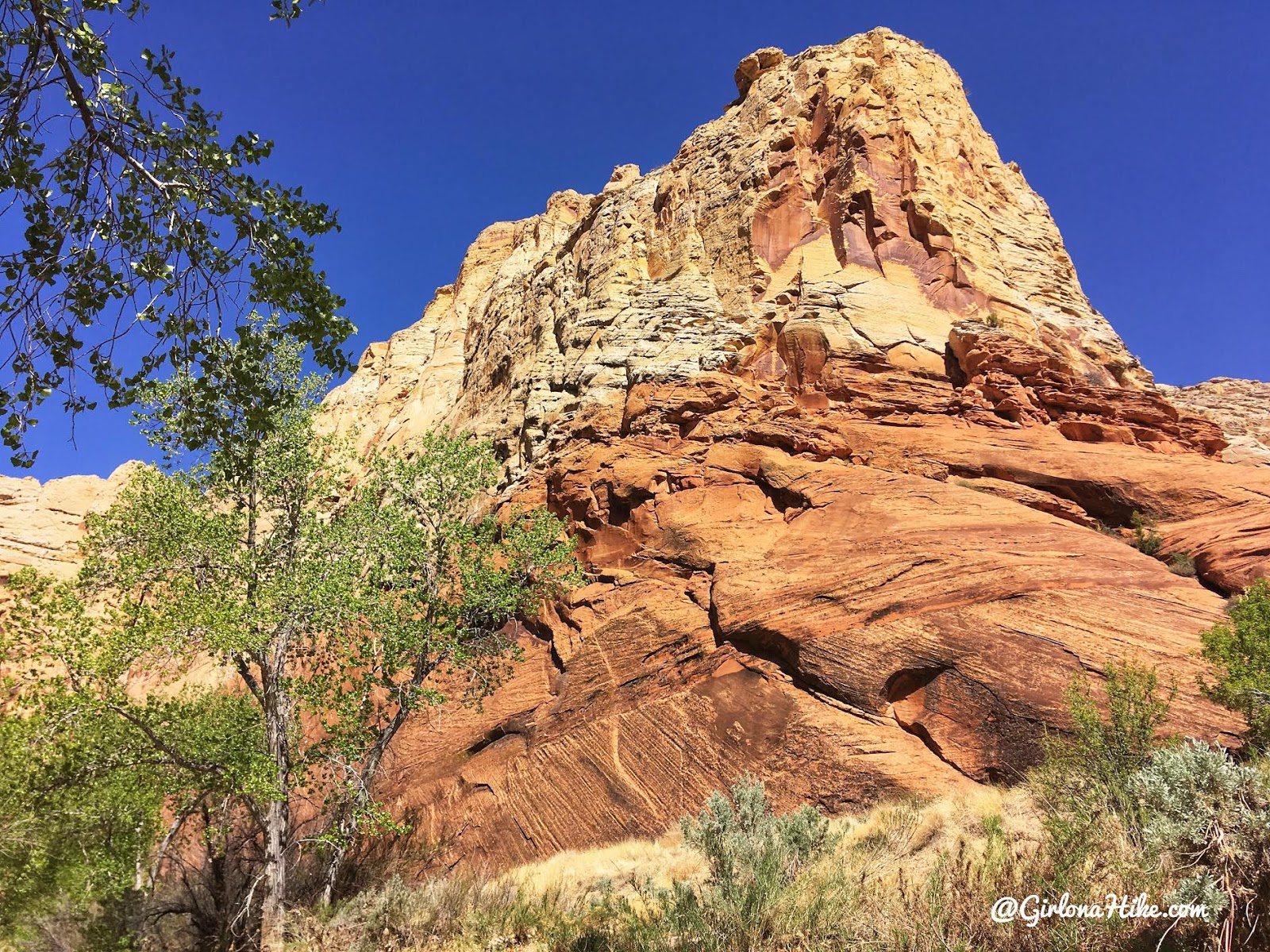
Day 2 started out, and we were immediately in much larger and taller canyon walls. Very different than the first day.
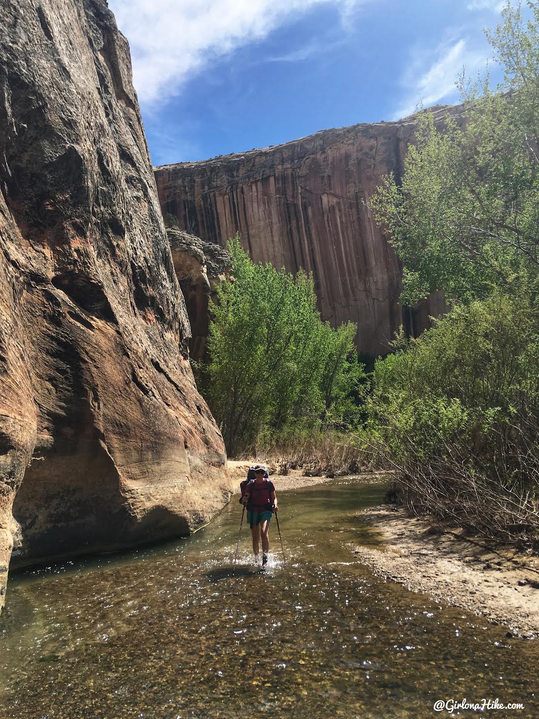
Heather enjoyed walking through the river more on Day 2 as well. We both agreed this was the prettier section.
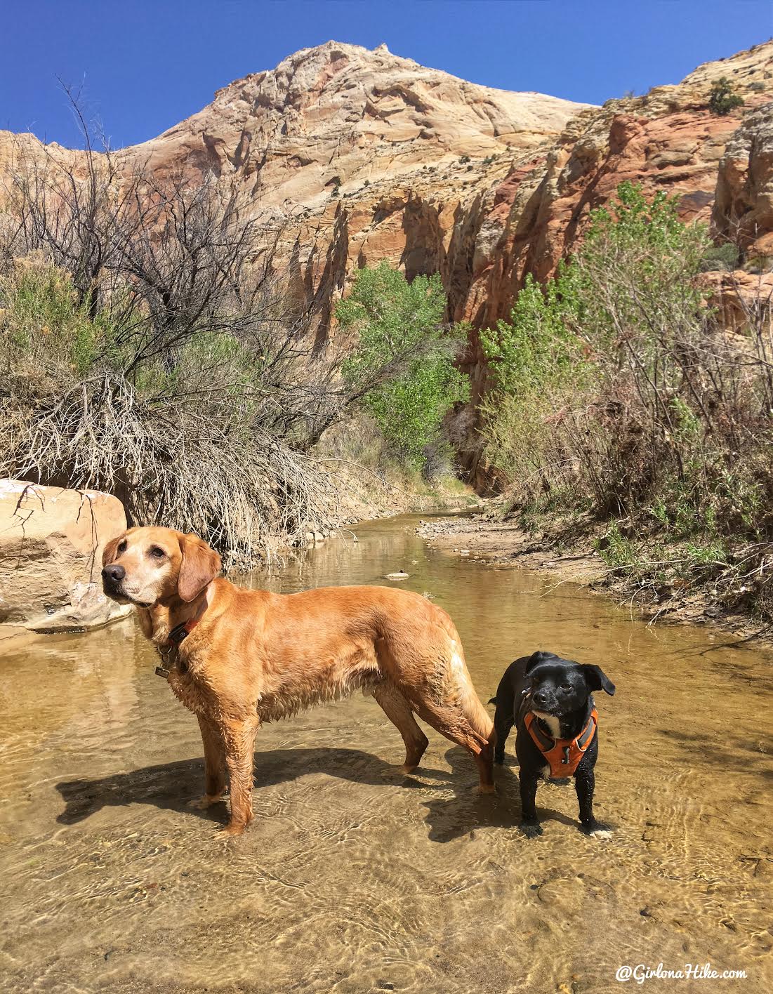
Charlie and our pal, Watson, pose for their mamas.
Halfway out you will see a huge alcove on your right. This would be another great place to camp, be out of the shade, or just take a snack break.
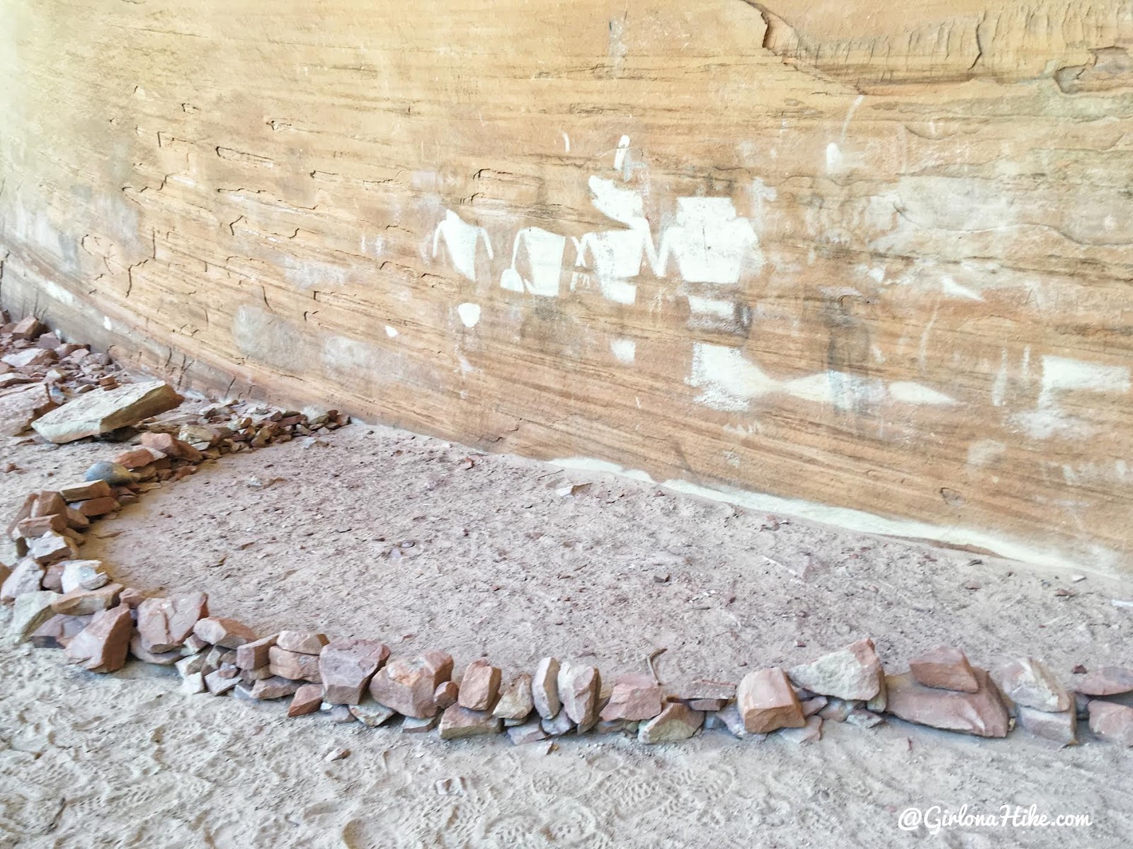
In that same alcove are pictographs.
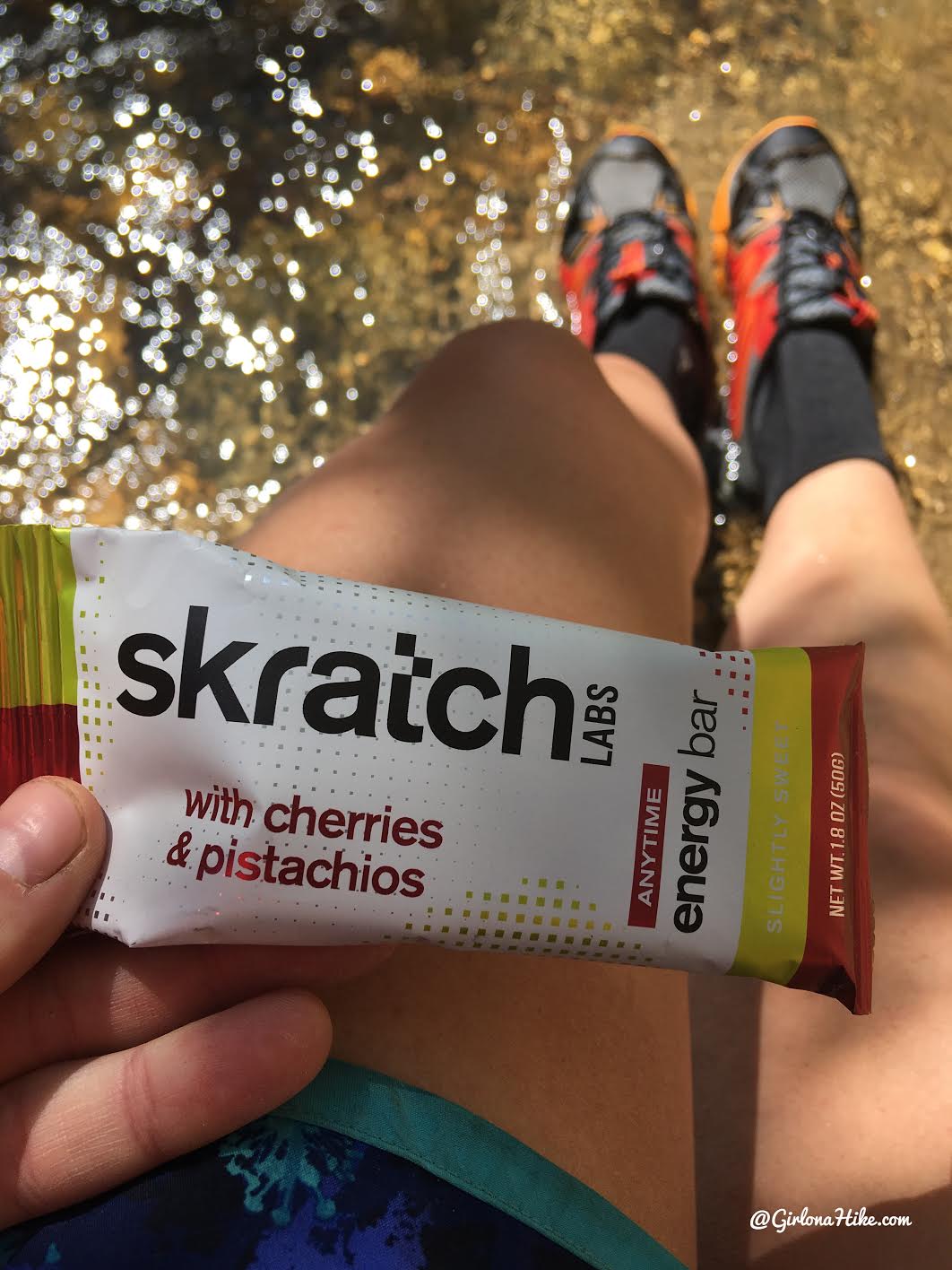
I recently tried another new snack from Skratch Labs, and it was a pleasant surprise. While I usually get tired of bars quickly, this one stood out—it was chewy and not overly sweet, which I really appreciated.
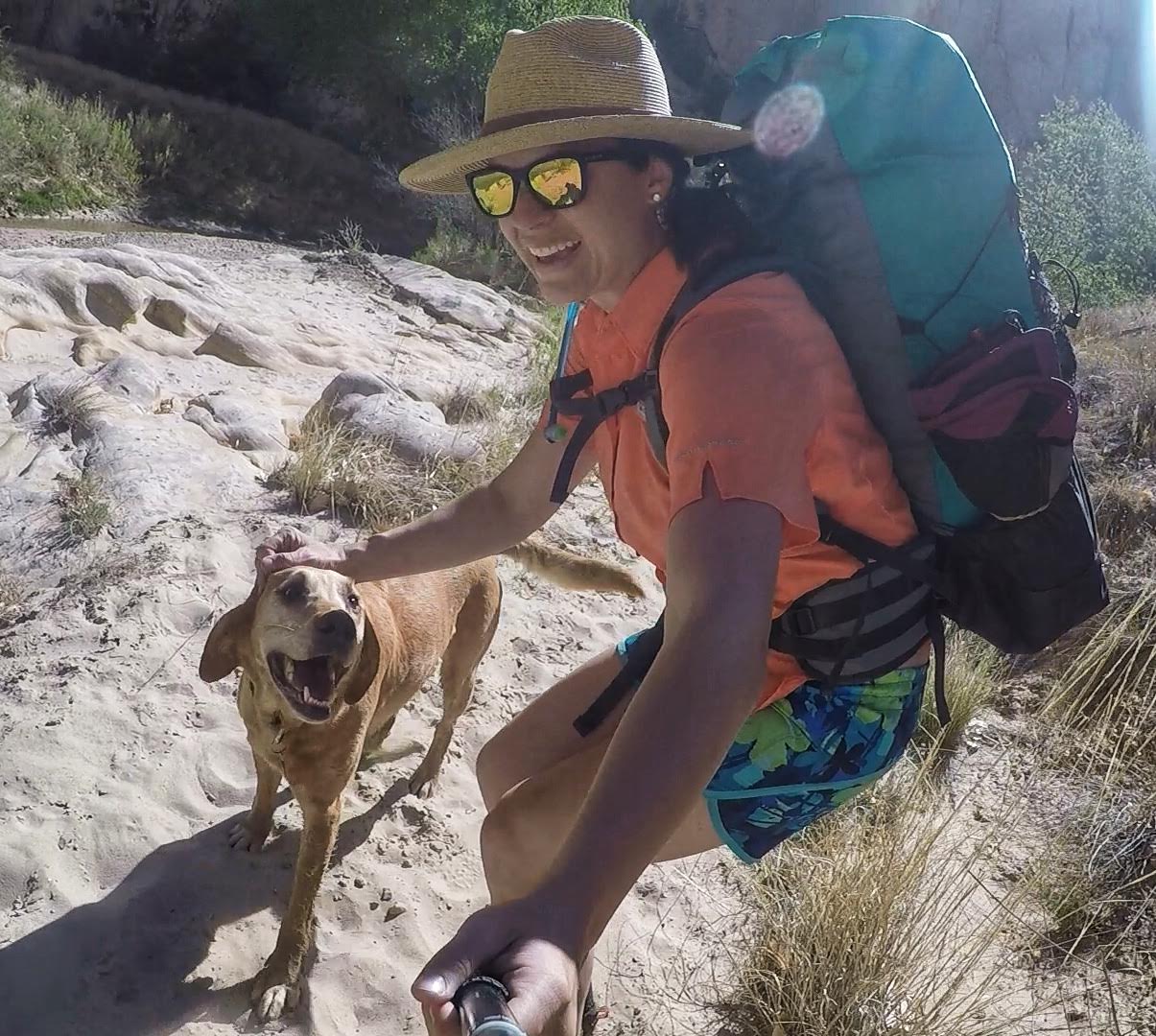
I love how happy Charlie gets when we hike and backpack! Dogs are the best!
The views never got old!
Some dry sections, but not as bad as Day 1. We also saw several desert flowers in bloom.
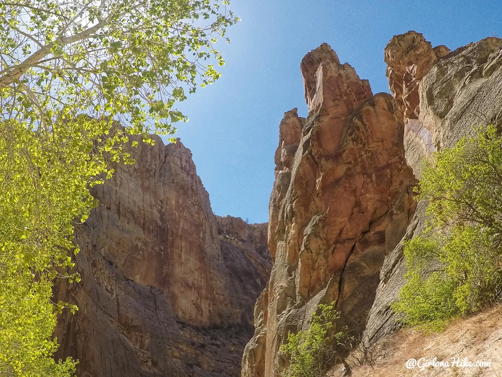
I can’t get over these canyon walls! They must have been close to 1,000 ft high!
This section of the river has a variety of canyon colored walls – everything from this bright red and yellow to black.
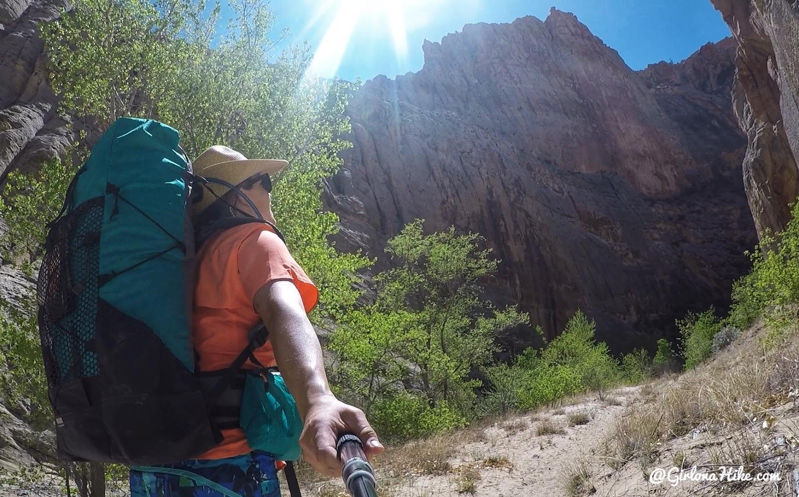
Soaking up the sun – I knew we were getting close to our exit. PS, if you’ve been wondering what pack I use, check out my post on Waymark Gear Co!
Beautiful! This route would be gorgeous in the Fall too, around late October.
Last Section of Trail to Car
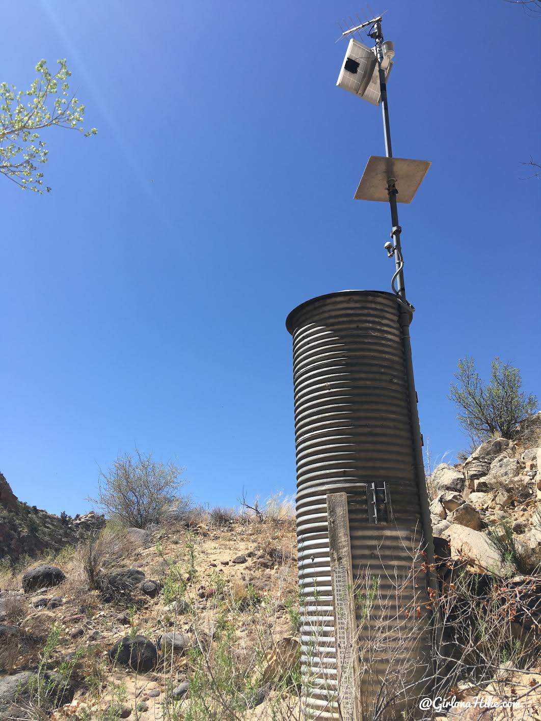
You know you are close to your exit when you pass the water gauging station.
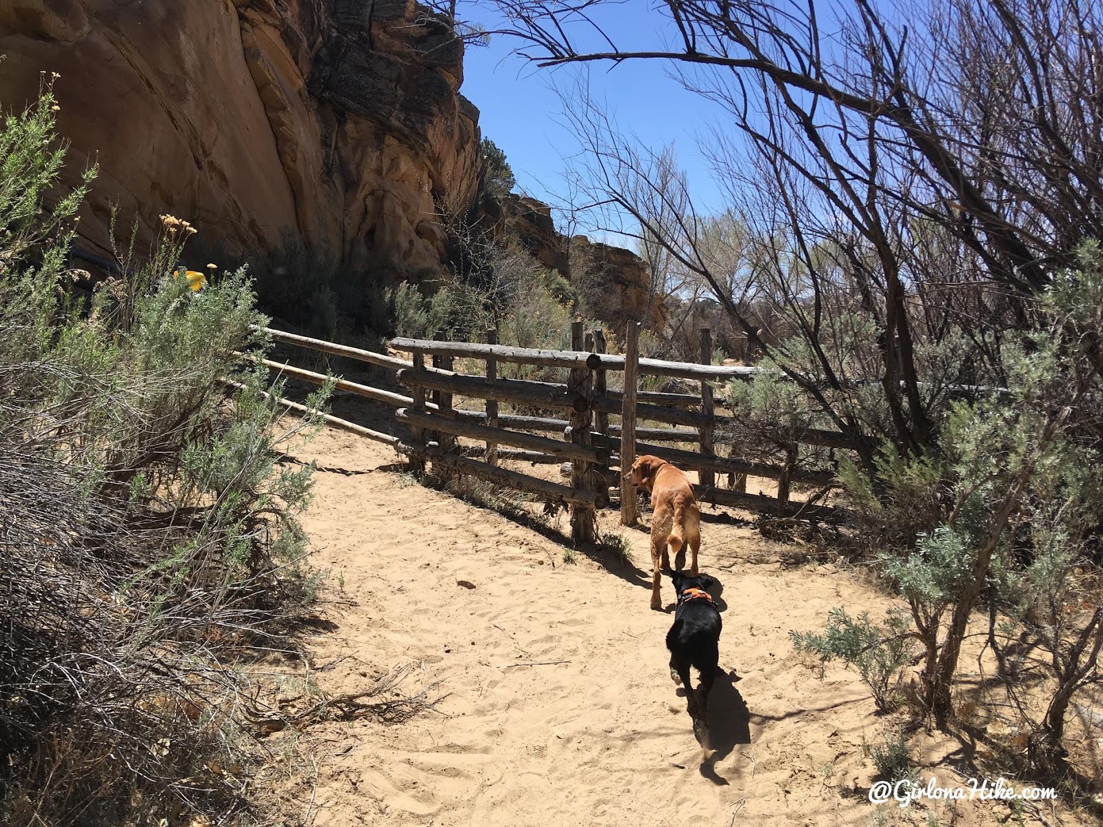
Continue following the trail, and it will lead you to pass through the cattle gate.
This will be the hottest section of the day – the last 3/4 mile stretch to where your car should be parked. No more shade or water.
Yay, we made it!
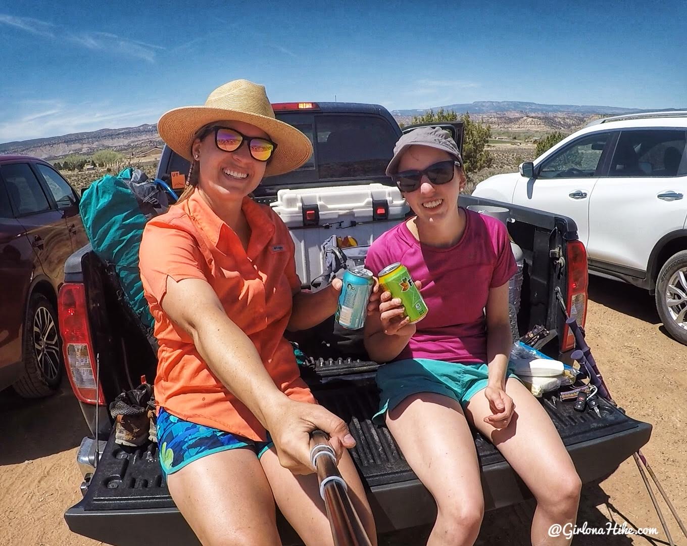
First things first – we put our chacos on and had an ice cold beer!
Trail Map
Trail map with marked campsites & petroglyphs. Get your app here for a discount.
Recommended Hikes
The Ultimate Guide – Dog Friendly Hikes in Escalante, Utah!
Backpacking Death Hollow, Escalante

Save me on Pinterest!