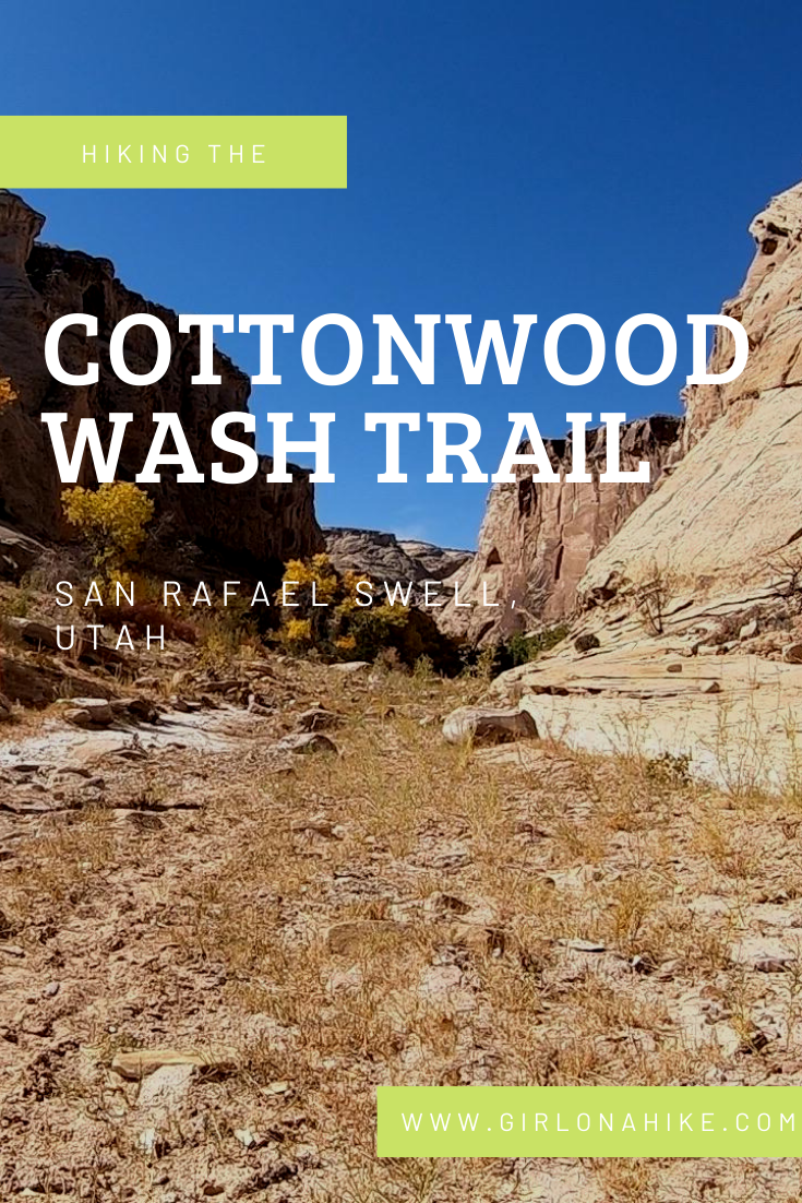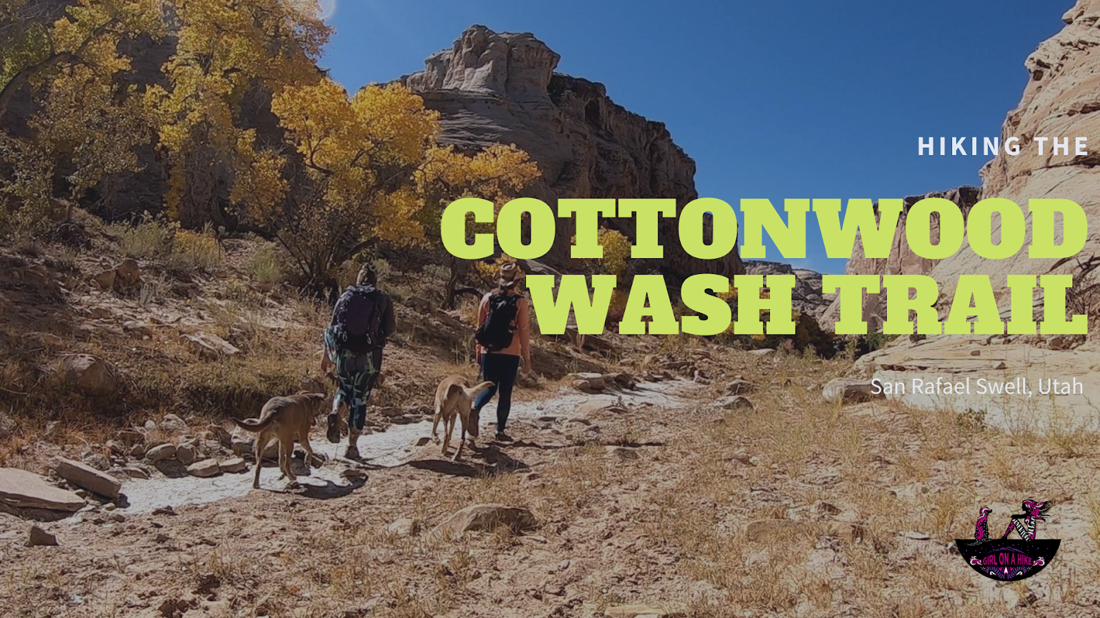
The Cottonwood Wash Trail is a hidden gem located in the heart of the San Rafael Swell, Utah. This easy, family-friendly hike features two impressive natural arches and several fascinating petroglyph panels. The trail is mostly flat, making it suitable for hikers of all skill levels. The only real incline is a short 100-foot section that leads up to the petroglyphs.
About
Always bring plenty of water for both you and your dogs—despite mild temperatures, dehydration can still occur. The most challenging part of visiting Cottonwood Wash isn’t the trail itself but the drive to the trailhead. The Cottonwood Wash Road is an 8-mile-long rugged “Jeep road” that can take close to an hour to navigate.
⚠️ Important: This road is not suitable for small cars. A high-clearance SUV or 4×4 vehicle is strongly recommended.
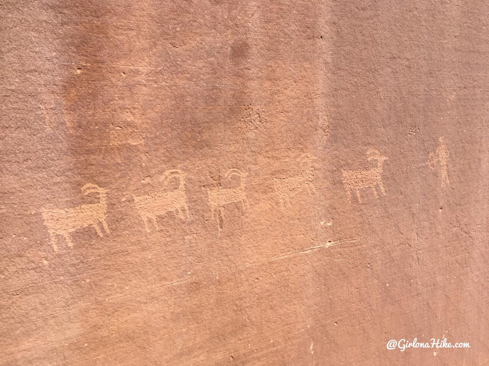
Once on the trail, keep an eye out for petroglyphs etched into the sandstone walls—these ancient Native American carvings are over 800 years old. Please respect these historical sites by not touching the rock art so they can be preserved for generations to come.
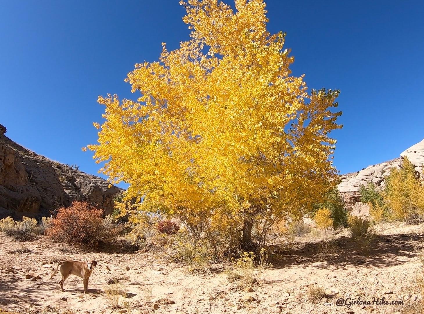
Fall is an ideal time to visit when the cottonwoods explode in golden yellow hues. Spring and late fall are the best seasons to explore this trail, with daytime temperatures typically staying below 70°F.
Directions
-
From Castle Dale, Utah, drive 30 miles along Green River Cutoff Road.
-
At the 4-way intersection, take the westernmost road, marked by a brown sign that says “Old Spanish Trail – Route.”
-
Reset your odometer.
-
At 2.4 miles: pass the Big Hole Wash sign.
-
At 8.3 miles: turn right at the Cottonwood Canyon sign.
-
At 8.8 miles: the road ends at a large turnaround—this is the trailhead.
-
We made the drive in a 4×4 Nissan Pathfinder. Smaller vehicles will struggle and could suffer undercarriage damage.
Trail Info
Distance: 2 miles RT
Elevation gain: 250 ft
Time: 1 hour
Dog friendly? Yes, off leash
Kid friendly? Yes!
Fees/Permits? None
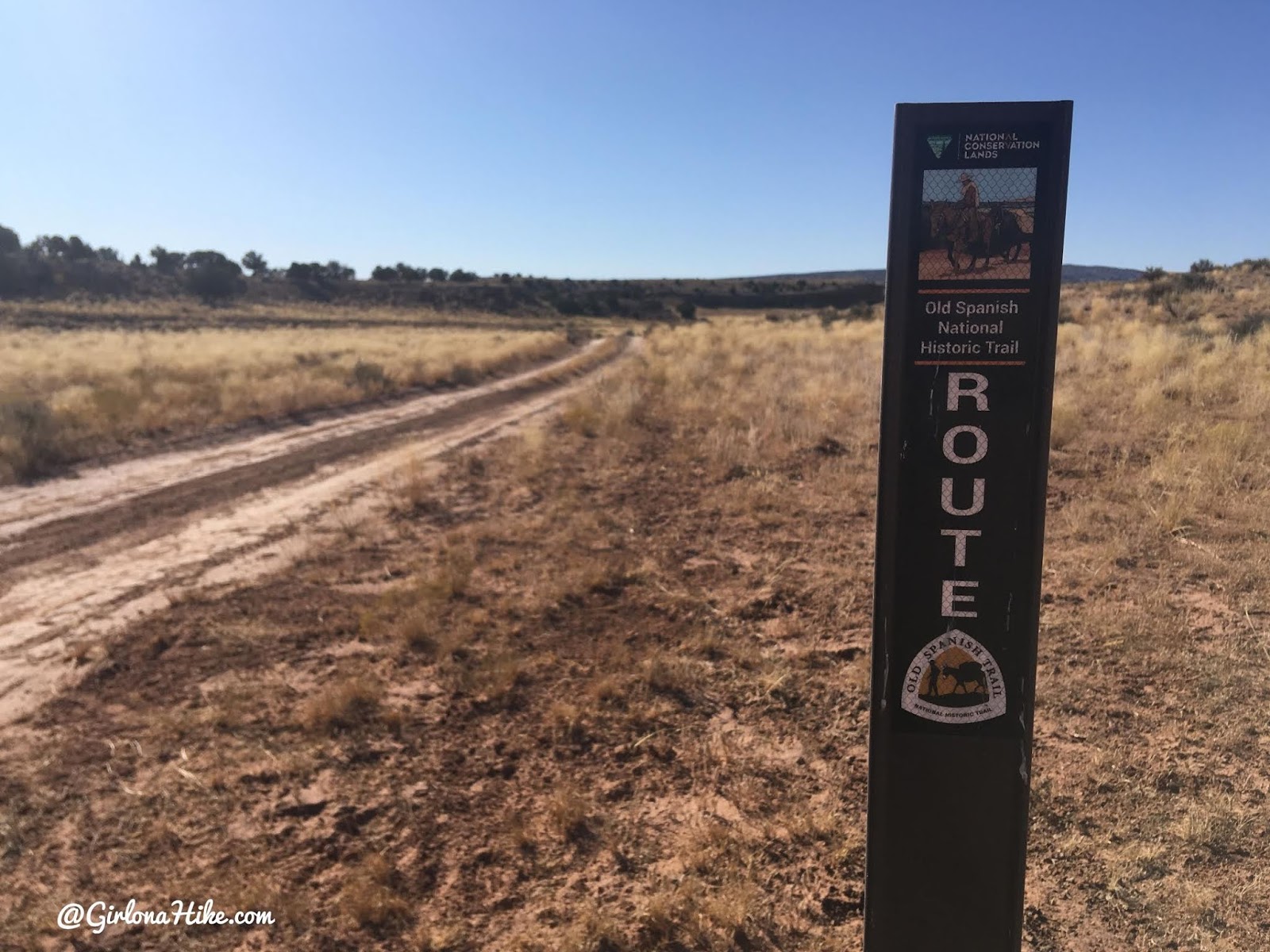
Make sure you turn down this route for Cottonwood Wash Road (not the more Eastern route). Reset your odometer.
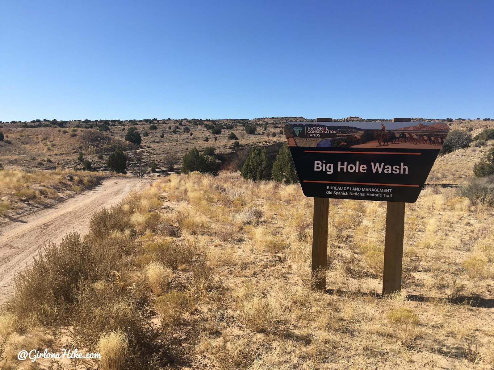
At 2.3 miles pass Big Hole Wash.
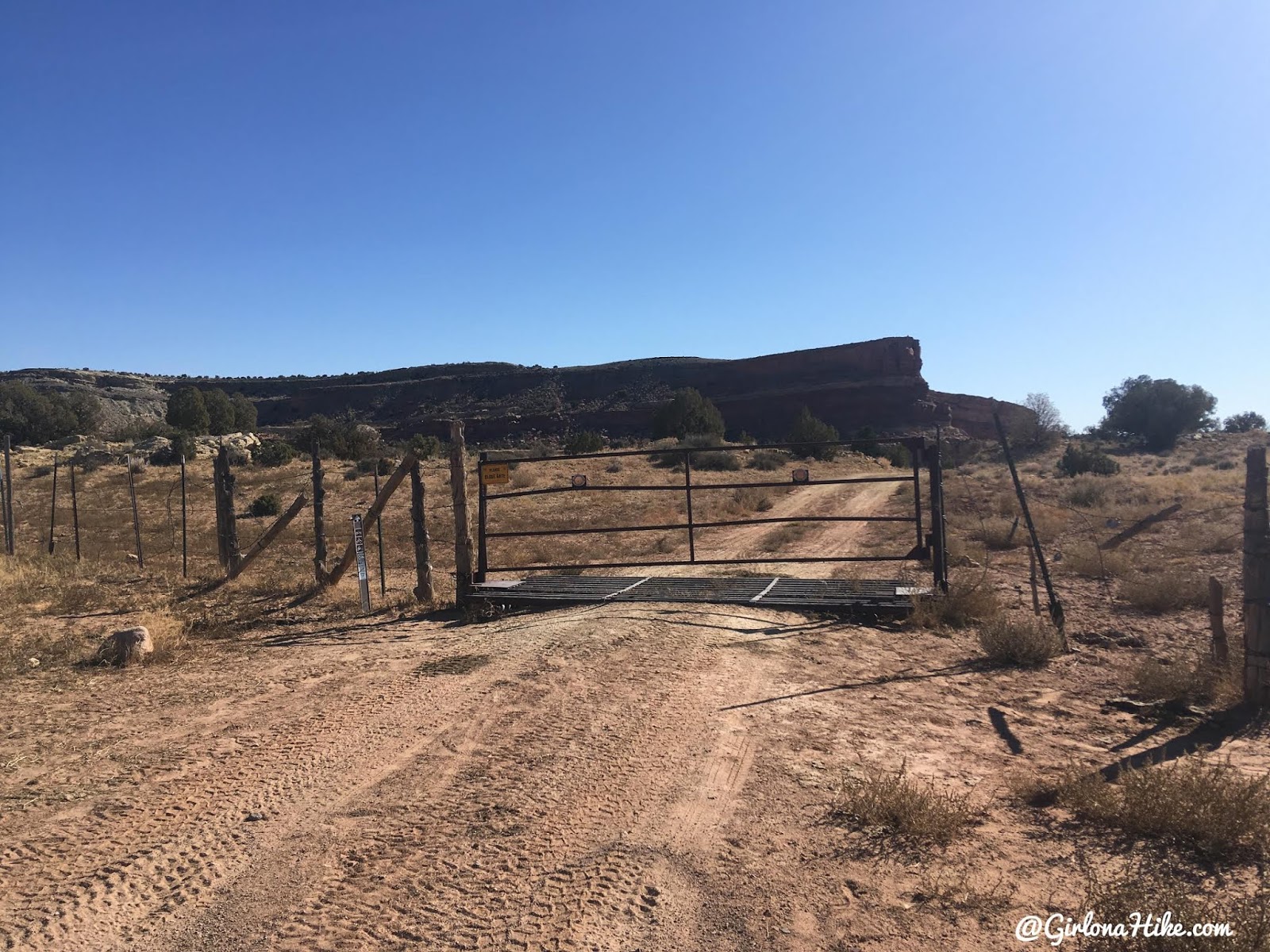
Go through the gate, making sure to close it after.
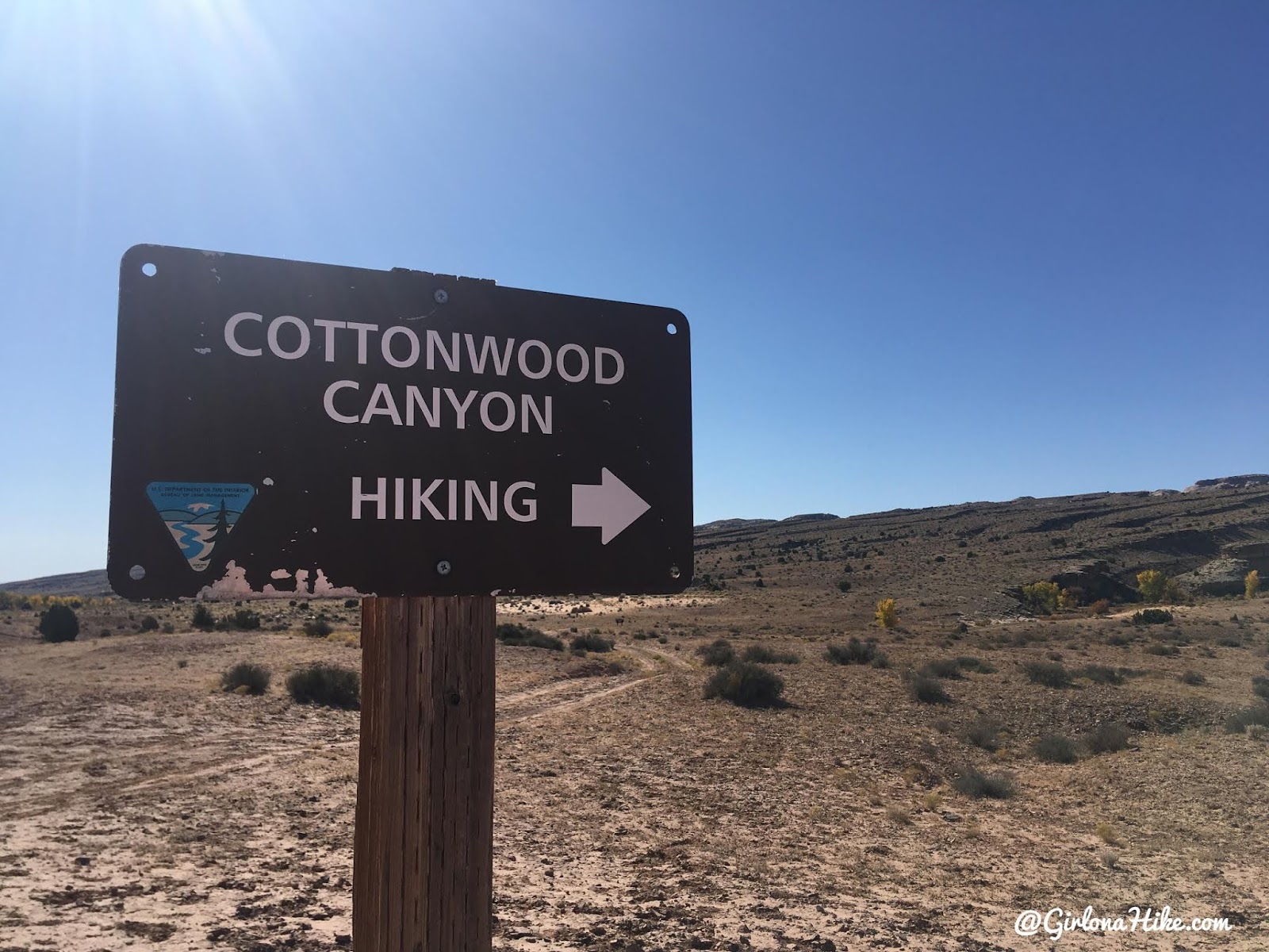
At 8.3 miles turn right for Cottonwood Canyon.
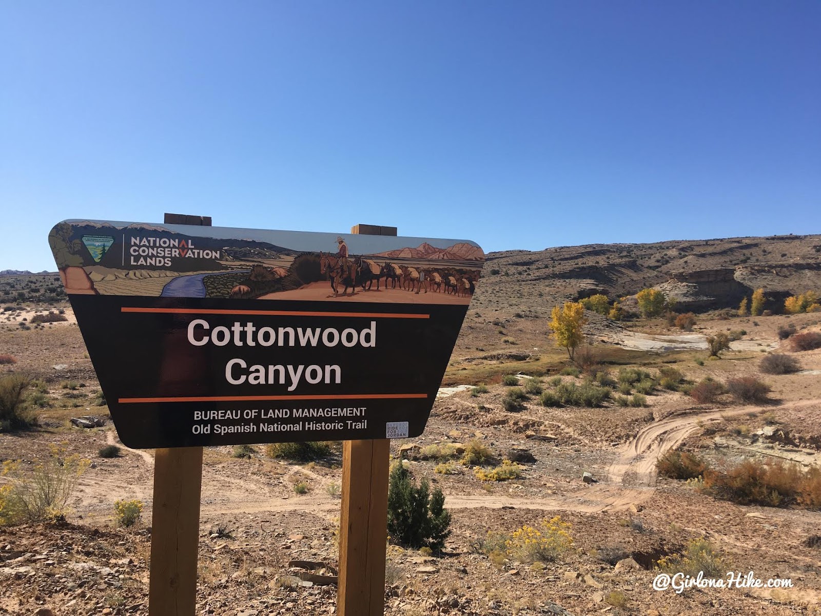
Pass one more sign.
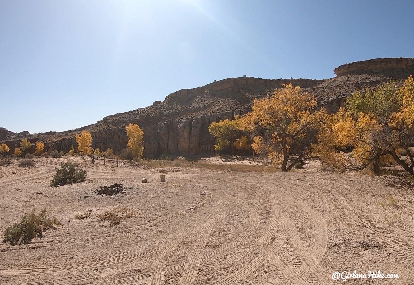
At the end of the road is a large turn around, fire pit, and the trailhead.
Hiking the Trail
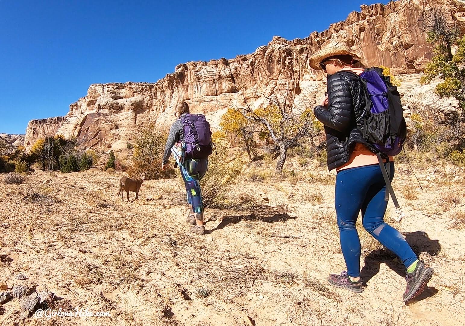
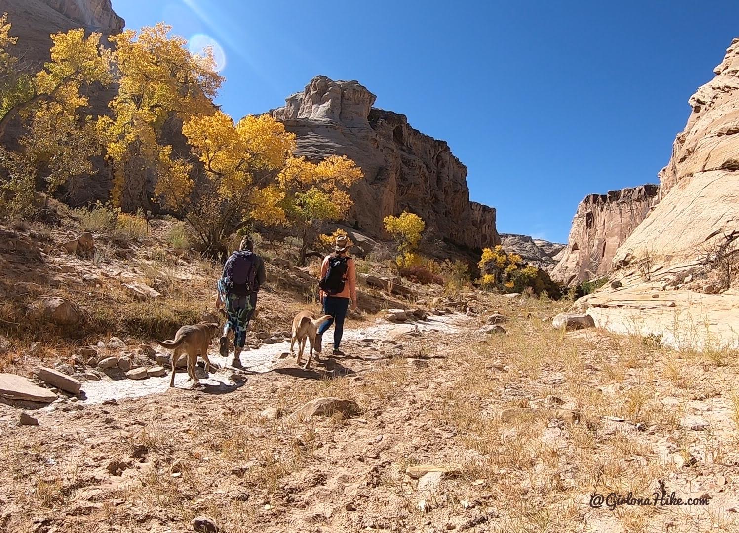
Start by dropping down into the wash and hiking west through the canyon. Keep an eye out for:
-
Unique huecos—circular depressions where weak rock layers collapsed
-
A short ramp-like incline that leads to the petroglyph viewing area
-
Scenic canyon walls and Cottonwood Wash Arch in the distance
📷 Don’t forget your camera—the mix of rock formations, ancient artwork, and fall foliage creates stunning photography opportunities!
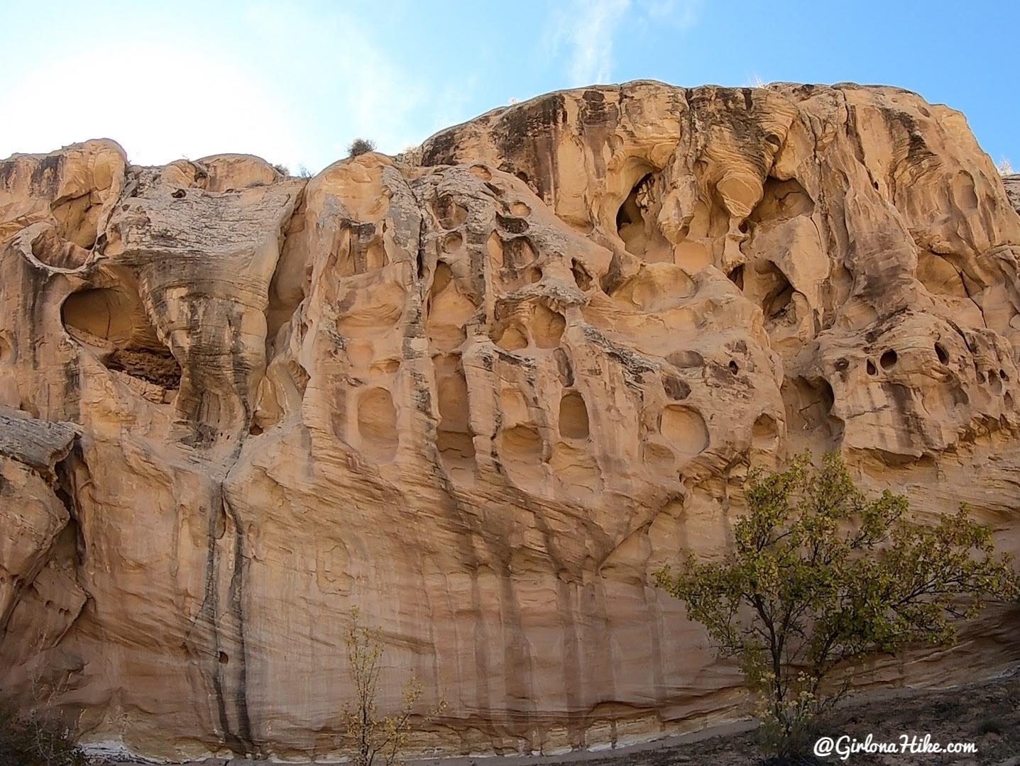
Really cool “huecos” in the wall. Huecos are depressions in a wall where the rock layer was weak, and eventually collapsed, leaving what looks like holes in a wall.
Tips & Highlights
-
Bring a at least a 30L daypack for water and snacks
-
Respect the fragile petroglyph sites—do not touch or climb near them.
-
The trail is mostly shaded and offers dog-friendly water pools depending on the season.
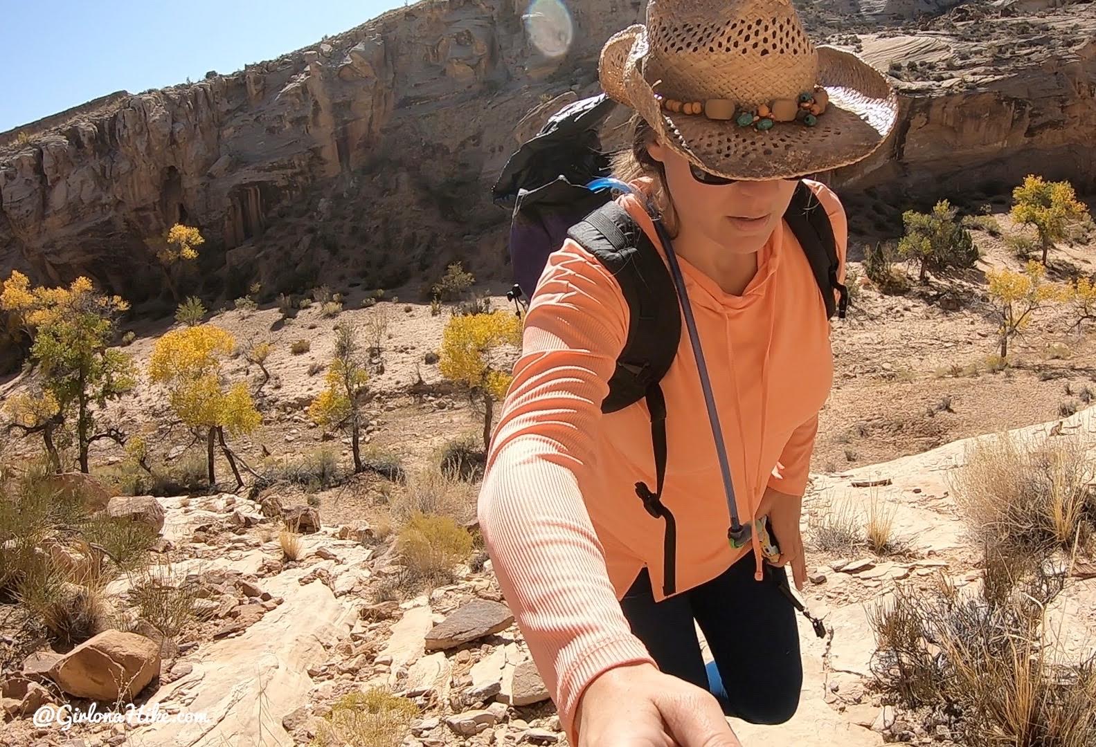
After 500 ft or so, hike up what looks like a ramp leading to the cliff base.
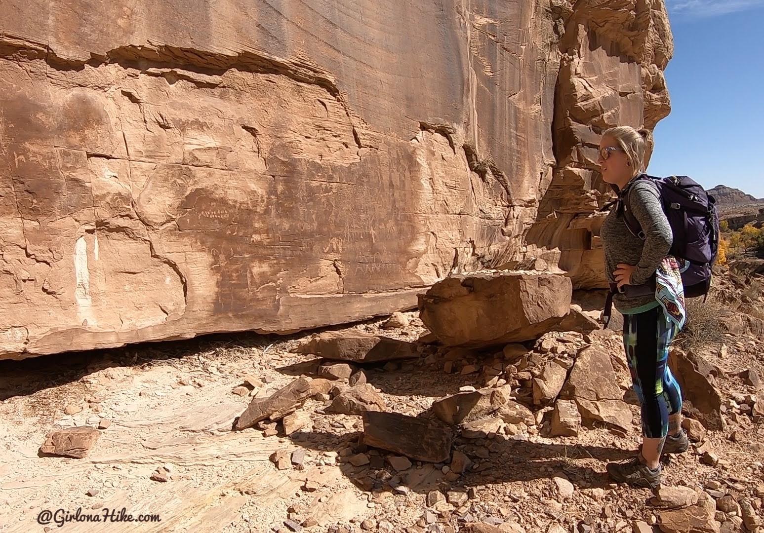
Here you’ll find several petroglyphs.
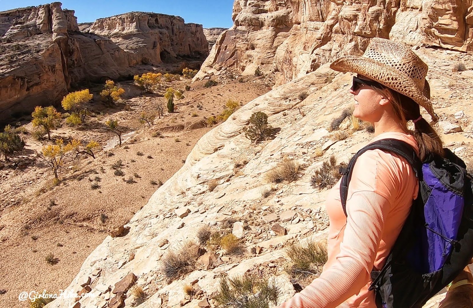
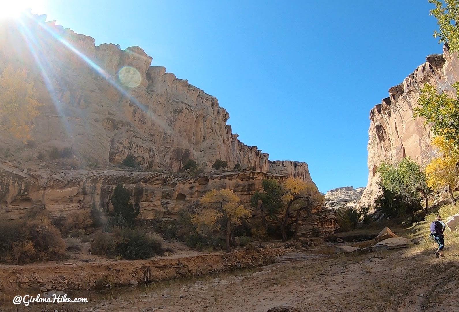
Looking West into the canyon.
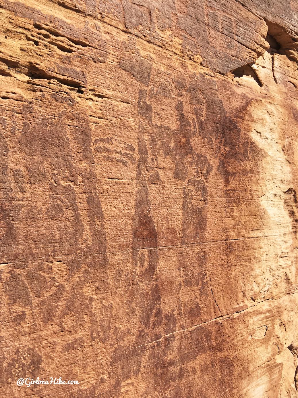
Really cool petroglyphs!
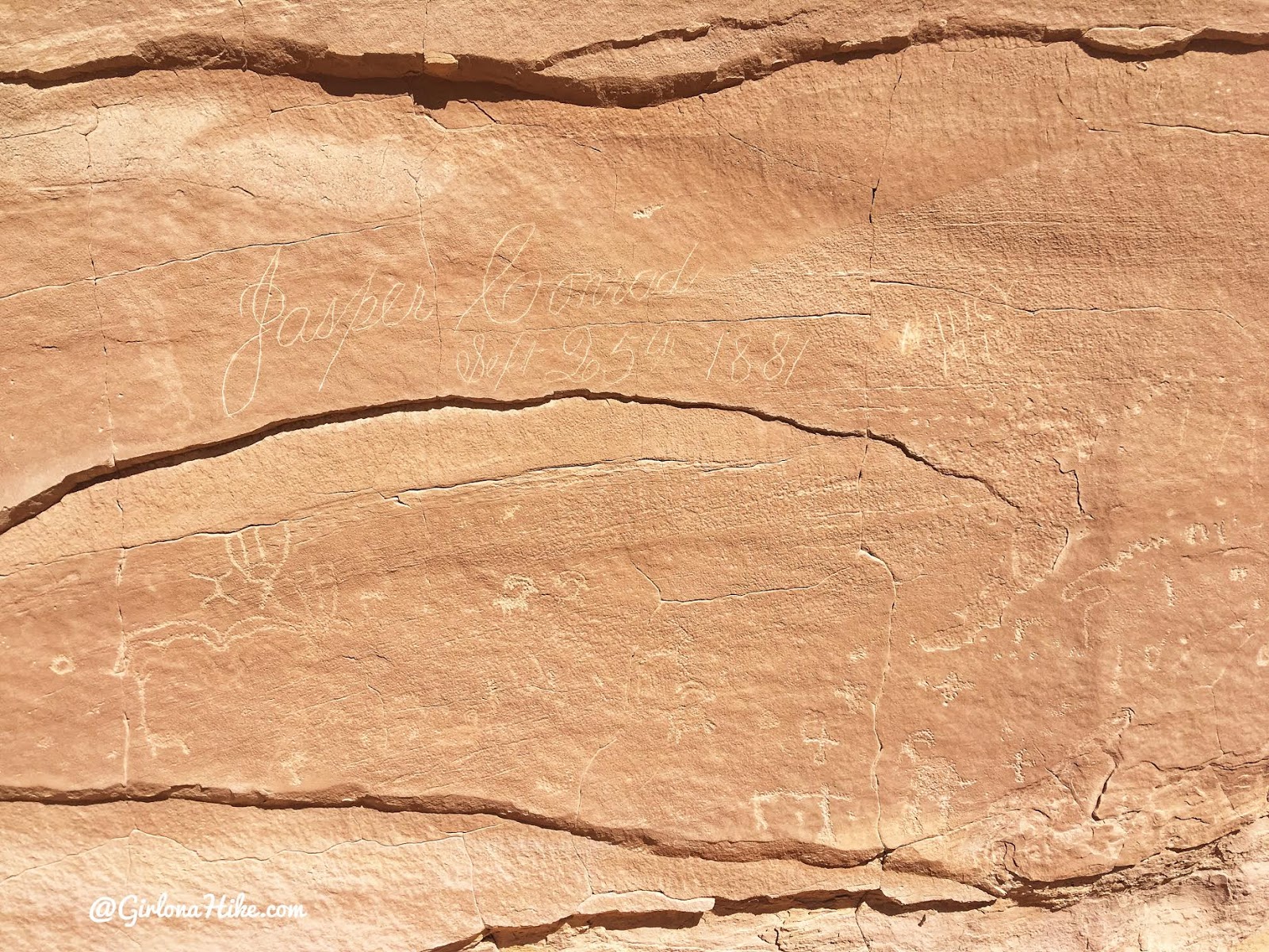
1881 was a big year for Pioneers as they made their way West.
Do you think the sheep are being led, or being killed for food?
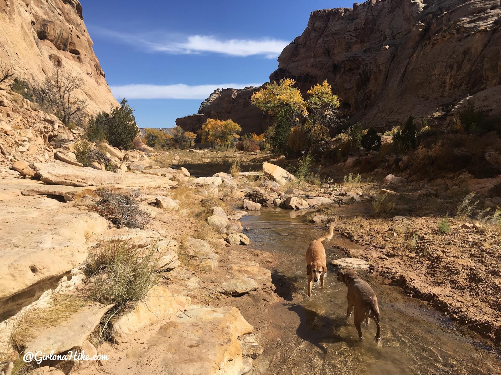
The dogs were pretty happy to find clean water to cool off in, even though it wasn’t even 60F!
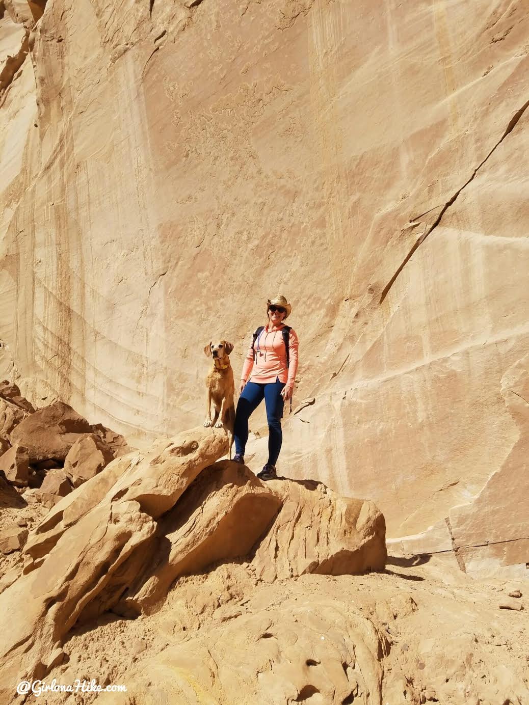
Exploring new terrain with my baby.
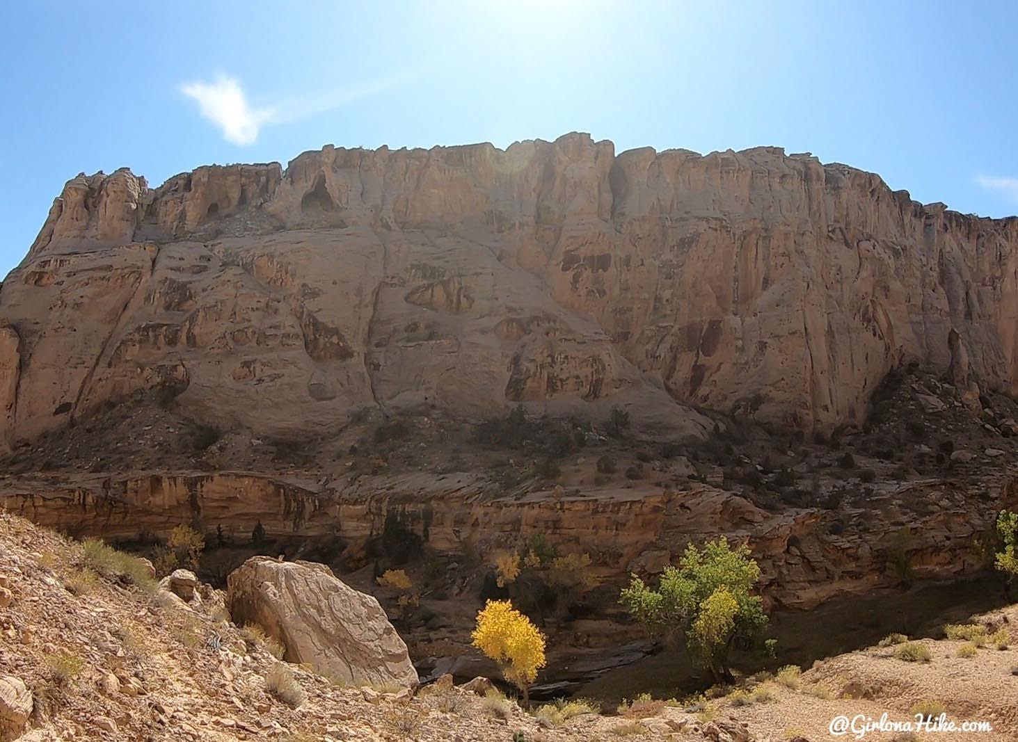
Can you spot Cottonwood Wash Arch?
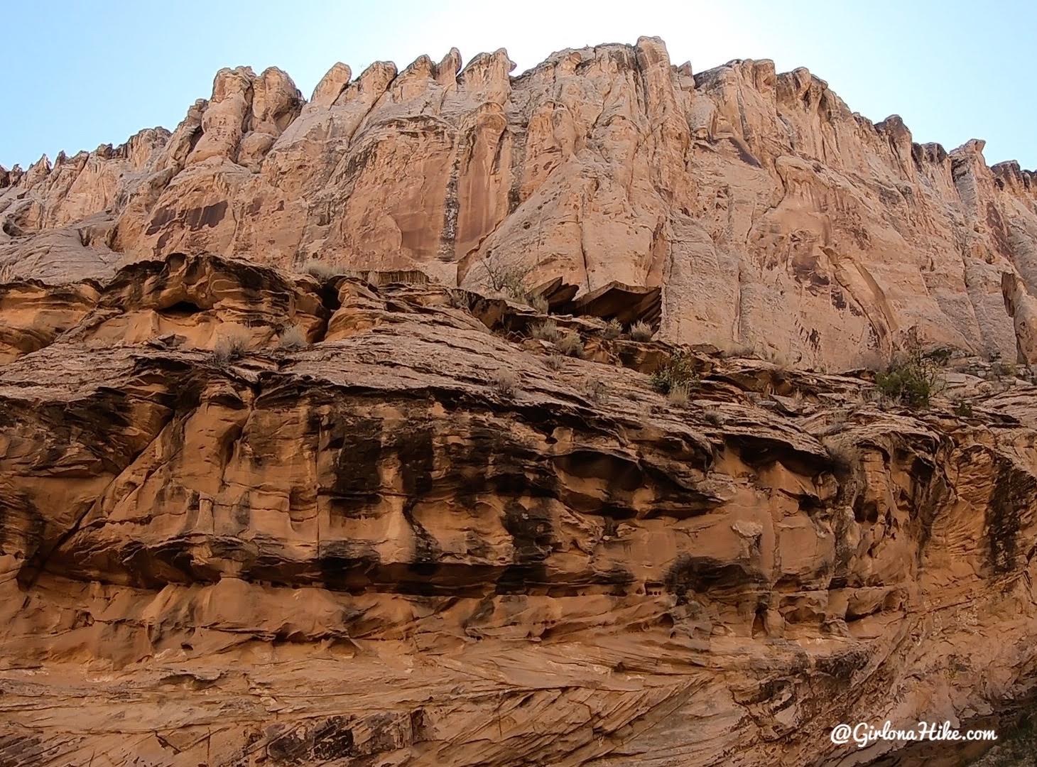
At first we missed the next set of petroglyphs and kept hiking – this rock formation reminded me of a fortress.
Completely dry wash in October.
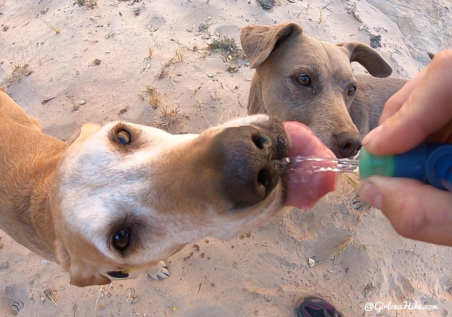
Not that hot (55-60F), yet the dogs were thirsty!
We hiked a total of 1 mile down Cottonwood Wash and didn’t spot anything else so we turned around.
On the way back we finally saw the other set of petroglyphs (not all are pictured).
Check out my video!
Trail Map
My track via Gaia GPS – the best tracking app! Get your app here for a discount.
Explore More in the San Rafael Swell
Looking for more hikes in the area?
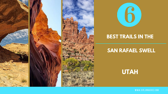
➡️ Check out: The 6 Best Trails in the San Rafael Swell

Save me on Pinterest!