
Directions
From SLC, head south on I-15 and take exit 257 towards Spanish Fork Canyon. Drive 4.1 miles and turn right on Powerhouse Rd (at the Chevron). Drive 0.9 miles and turn left on Spanish Oaks Dr (there’s also a sign for the Spanish Fork Gun Club). Keep following this road until you reach the first gate, where there is another sign for the Gun Club. In Winter, you’ll need to park here in front of the gate on the side of the road, then walk up the road. In Summer, you can keep driving past this gate and park in the main parking lot.
Here’s a driving map.
Trail Info
Distance: 3 miles RT (from the first gate)
Elevation gain: 390 ft
Time: 1 hour
Dog friendly? Yes, off leash (once on the trail)
Kid friendly? Yes!
Fees/Permits? None
Hiking to the Spanish Fork Cross: What to Expect
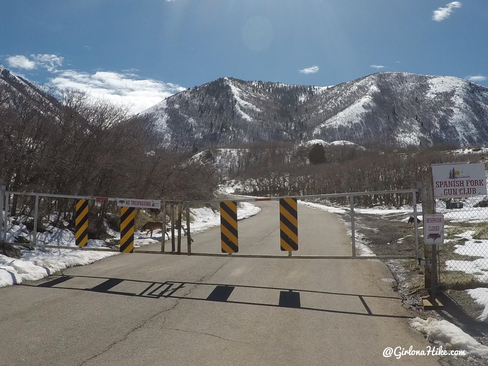
The first gate may be closed as you drive up. If so, just park on the side of the road near the gate.
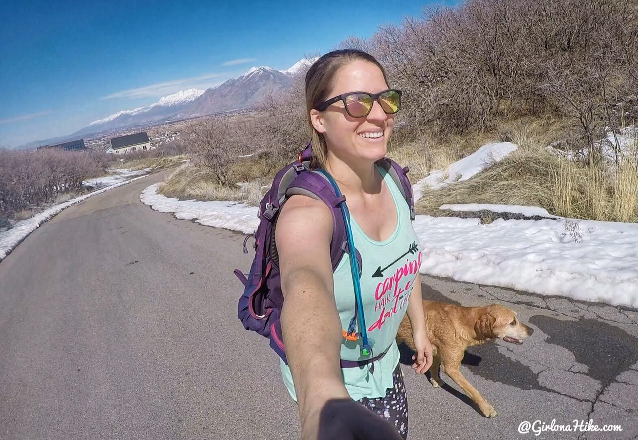
As a hiker, you will always hike on roads at some point. Didn’t matter to me – it was the first sunny, warm day in the area in months!
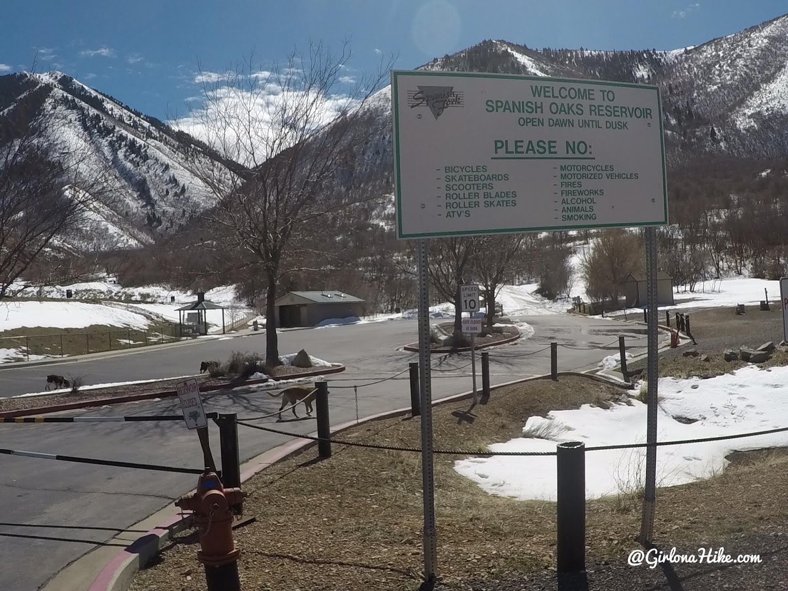
In summer, this is where you would normally park. Keep walking up the road. Just an FYI – dogs are NOT allowed at the actual reservoir so swim time will have to wait for the pups.
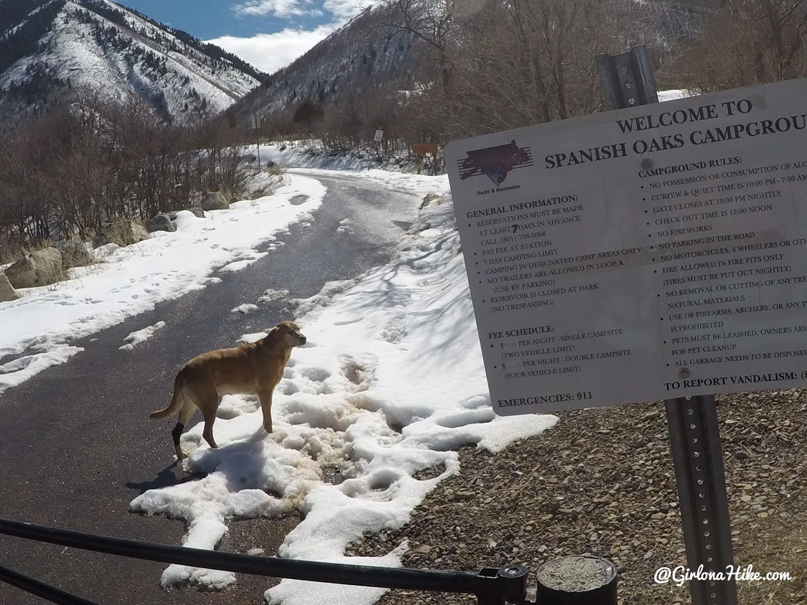
Walk past a 3rd gate, and you will now be hiking through the campground.
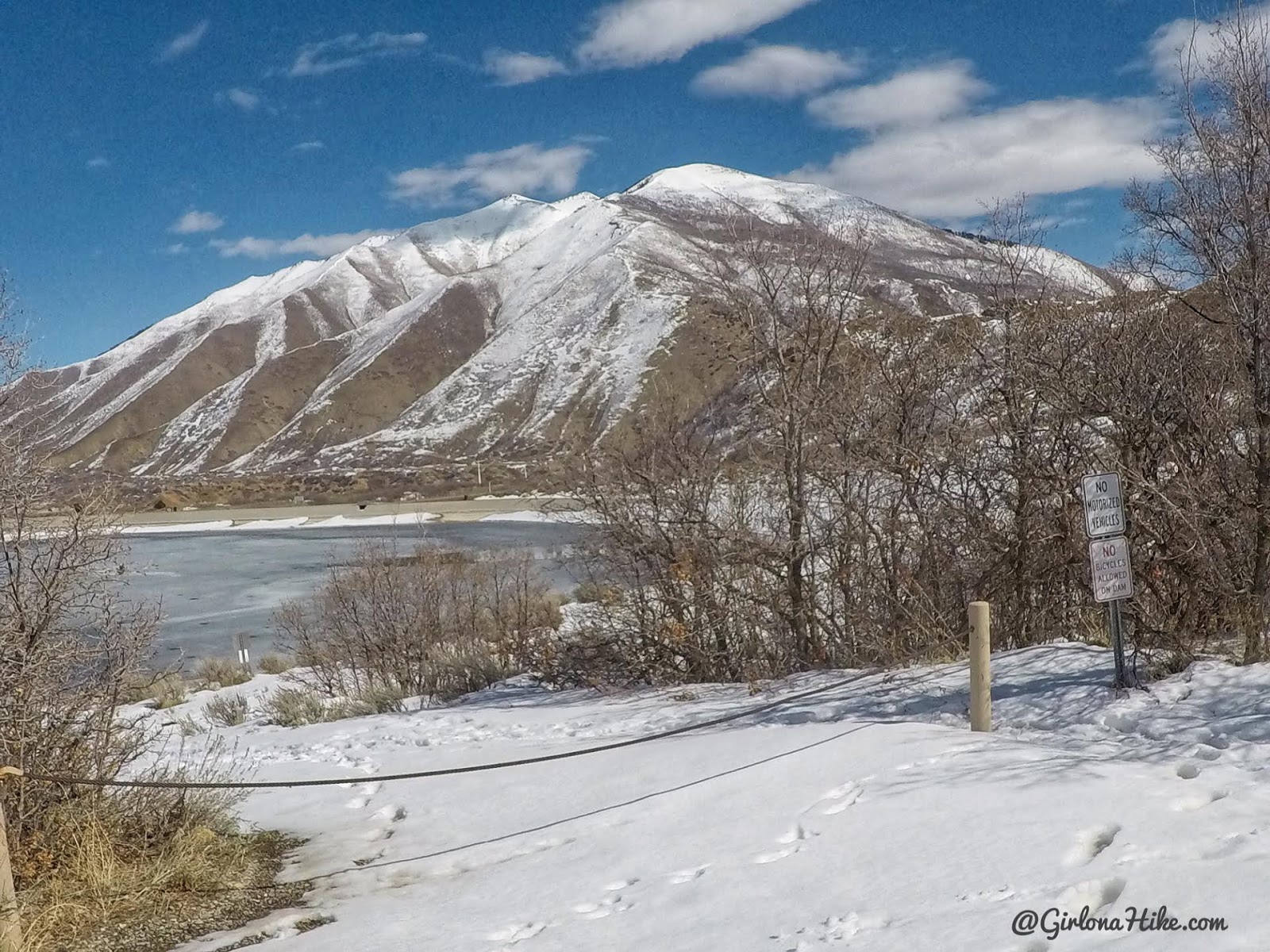
You’ll pass this opening and a kid’s playground on your left.
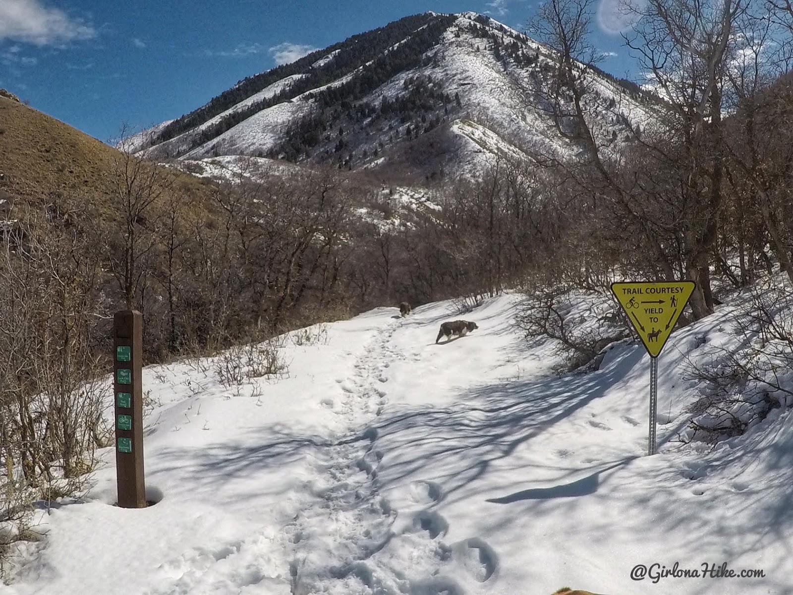
This is where the official TH starts – in between the brown post and yellow sign. From here the trail is really easy to follow – follow the signs for “Escalante Cross”.
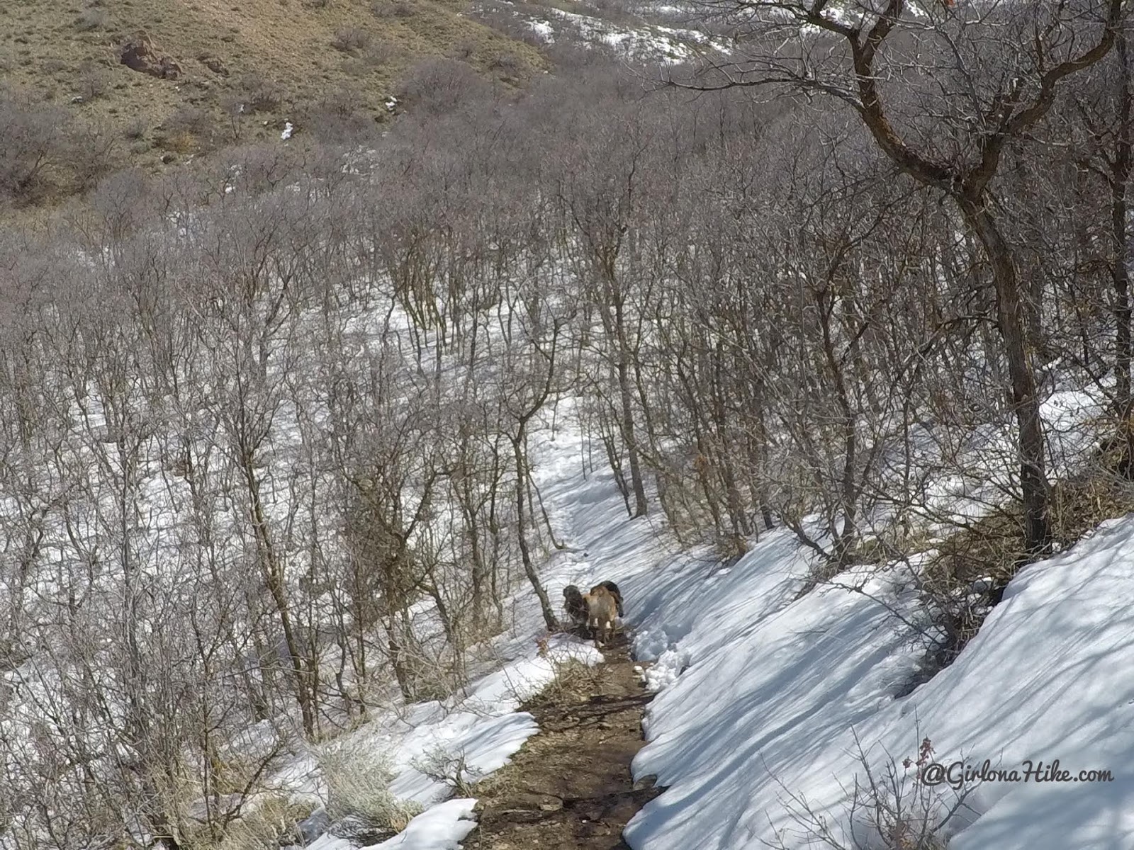
At the first trail split, turn left and go down some stairs.
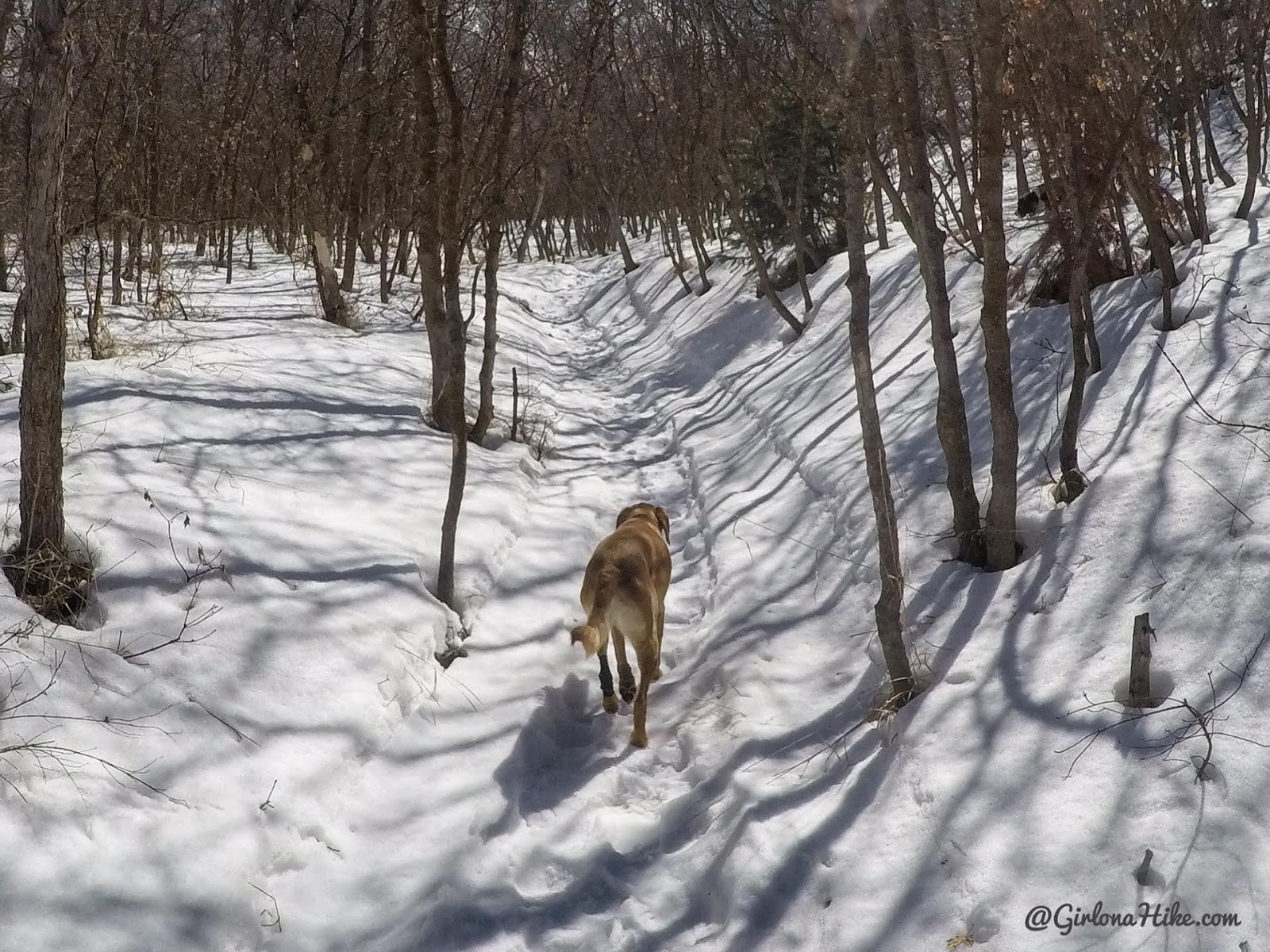
At the bottom of the stars the trail turns right, and you are now technically in Snell Canyon.
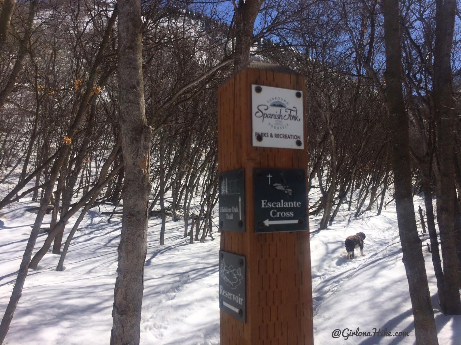
Once again, turn left.
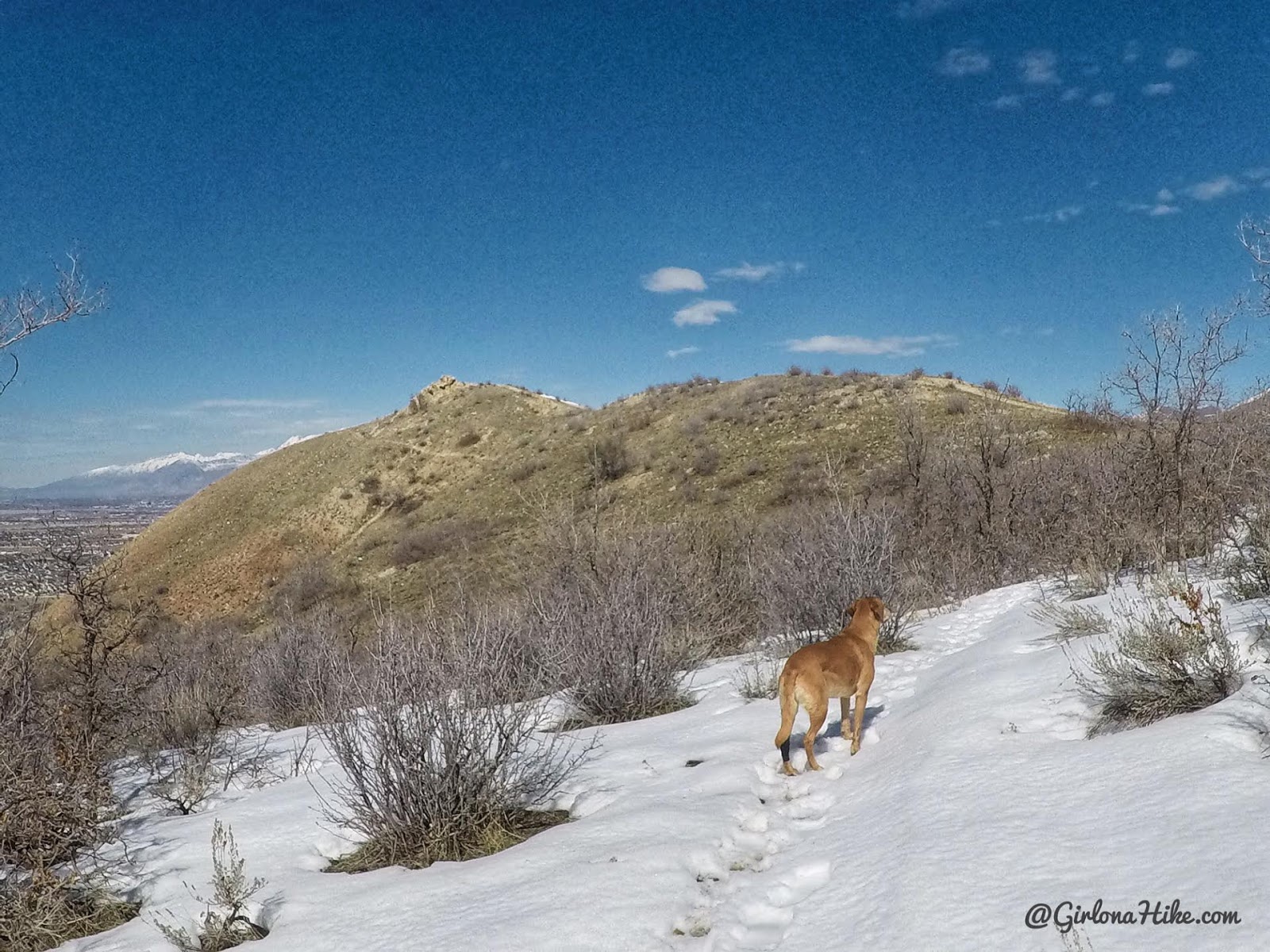
You will gain a little elevation as you make your way to the ridge.
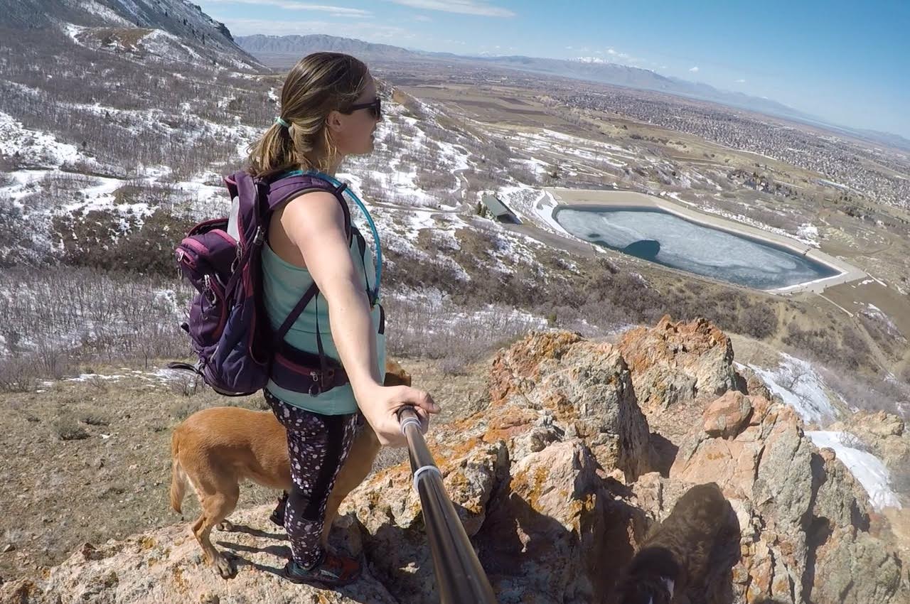
Looking down from where we just came from, and a great view of the reservoir.
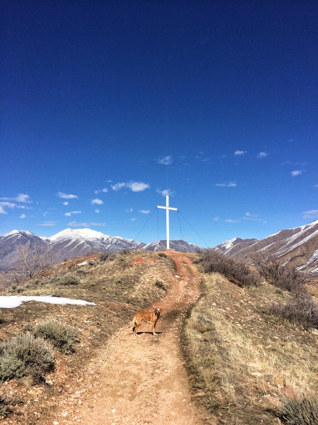
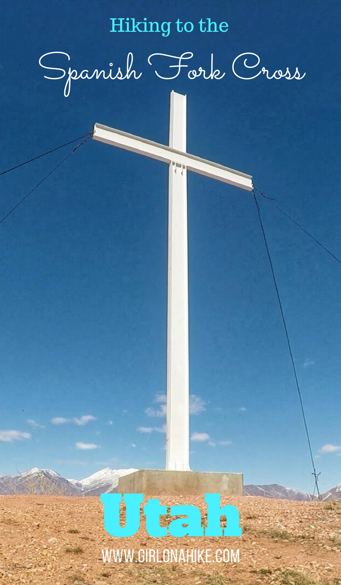
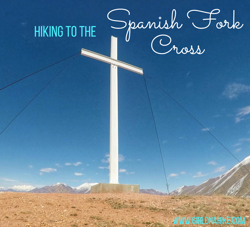
Keep following the ridge towards the large white cross.
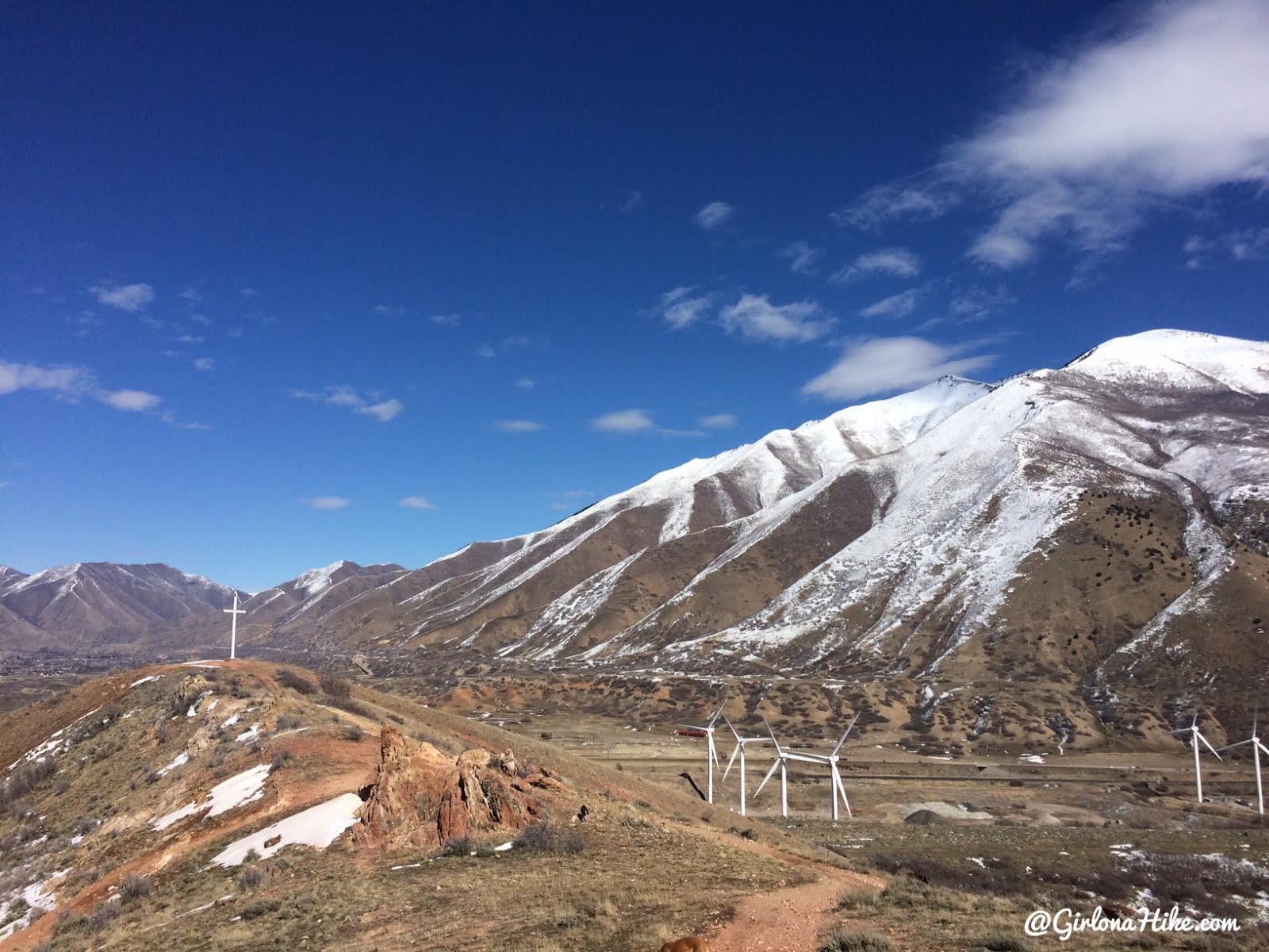
You will see the large white wind turbines on your right.
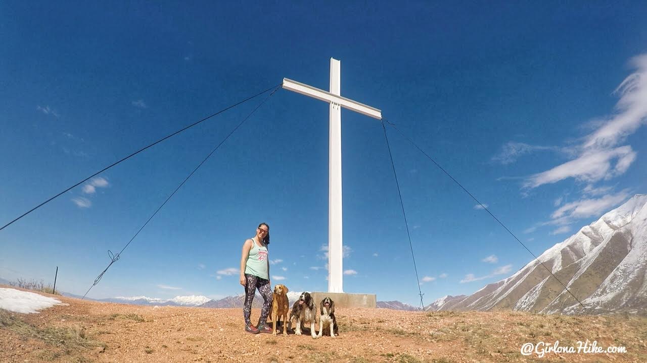
Made it with all 3 dogs! I didn’t see a single person on a Sunday afternoon on this trail, yay! It took us about 35 minutes from the first gate to reach the cross.
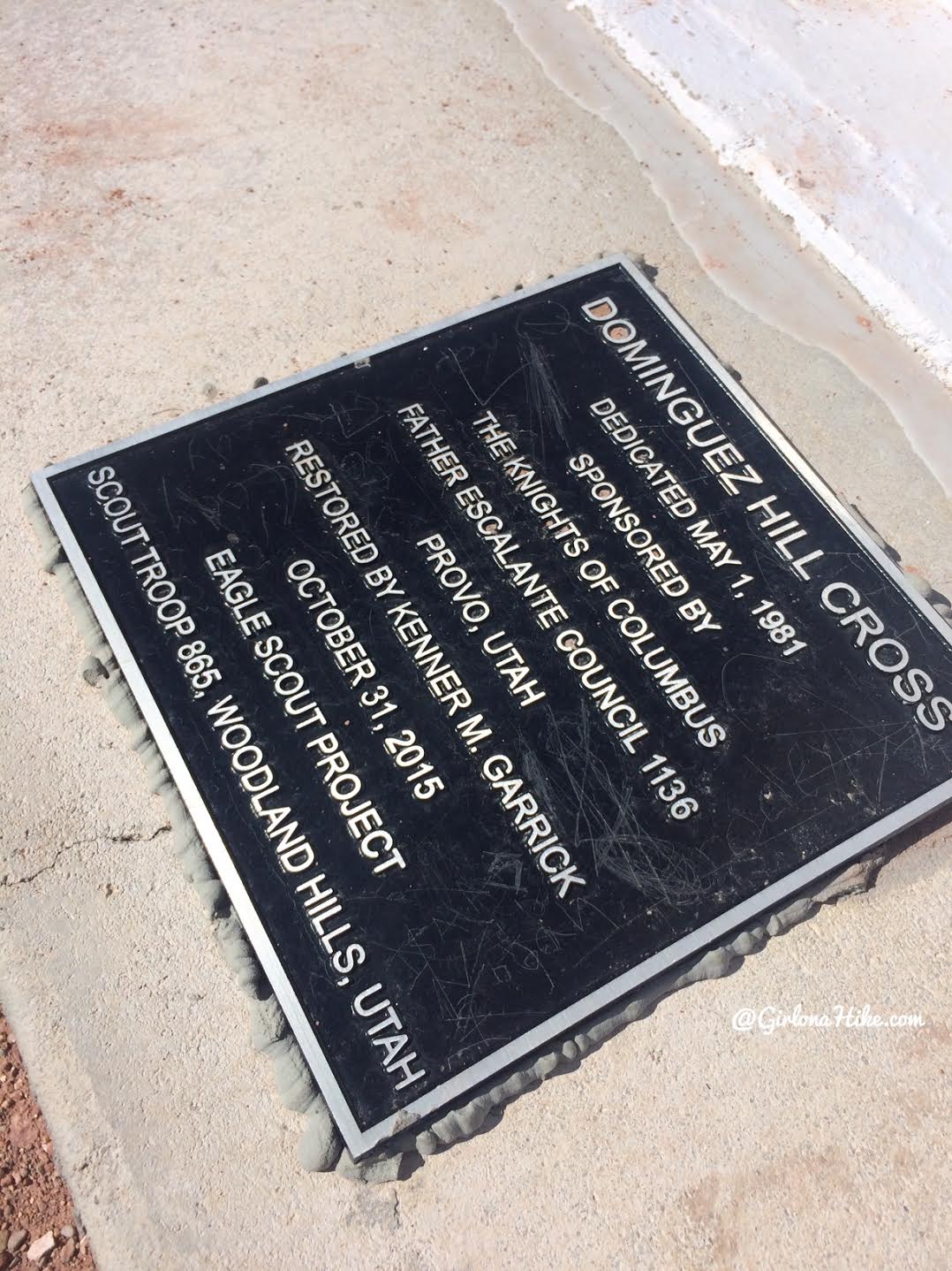
Plaque on the bottom of the cross.
This cross has three name: Spanish Fork Cross (known by locals), Escalante Cross (as marked by the trails), and Dominguez Hill (as marked by this plaque).
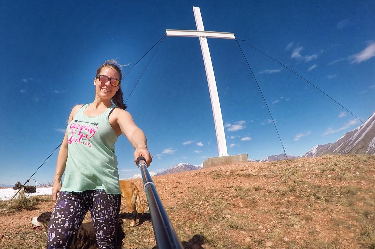
This was a great little hike!
April 2020
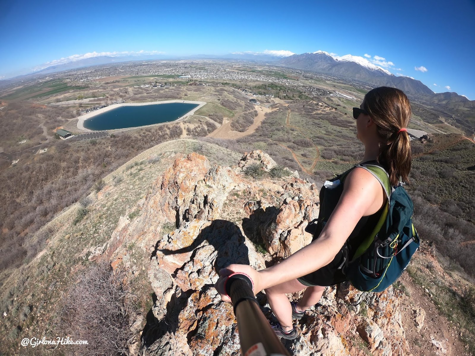
No snow in April, and the main parking lot was open this time. There were a LOT of people fishing in the reservoir.
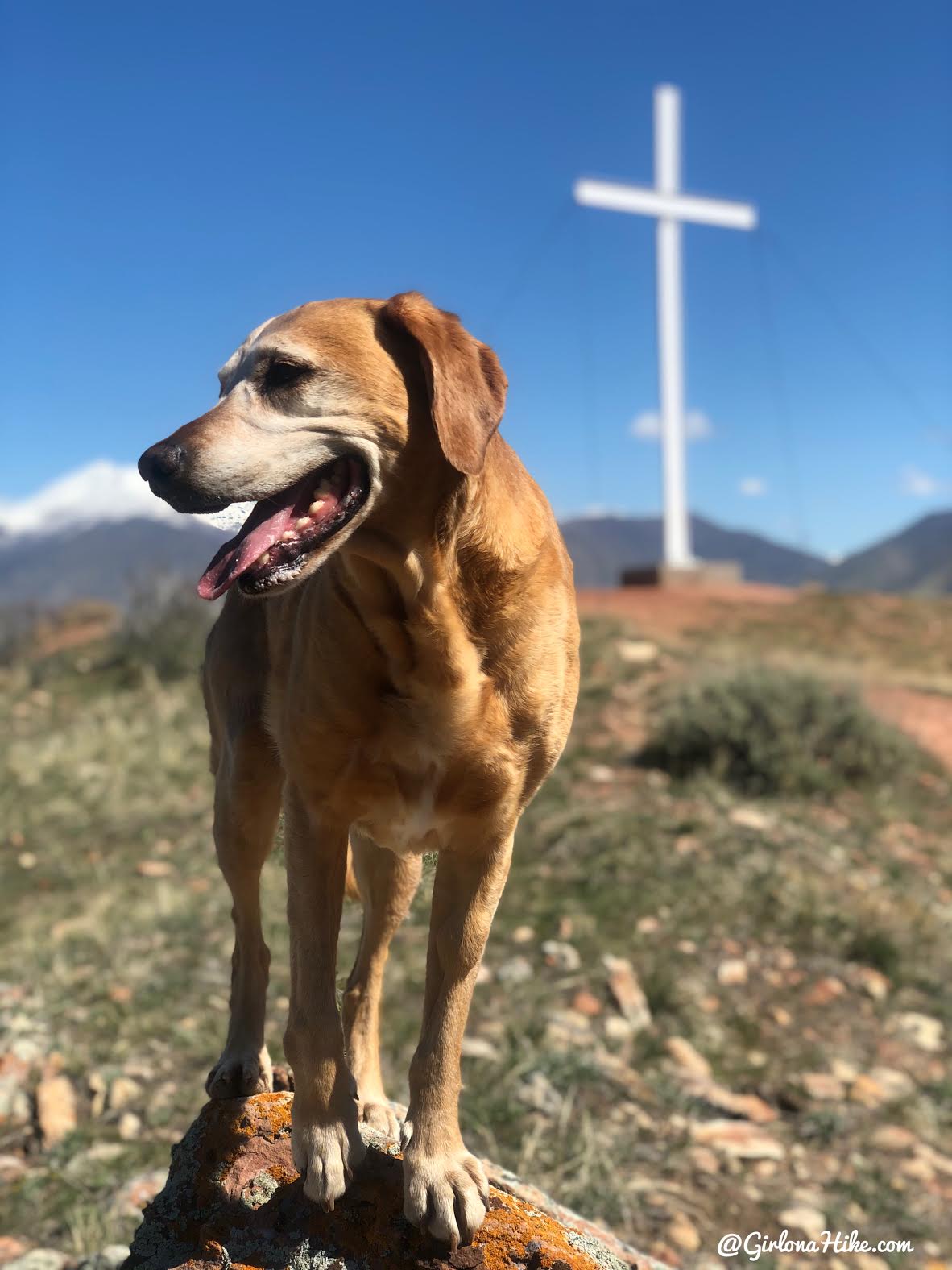
What a perfect hike for Easter weekend!
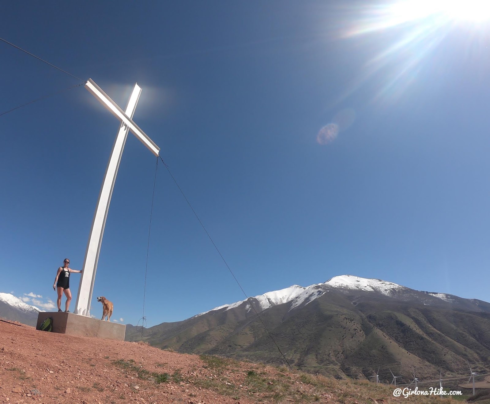
Soaking up as much sun as possible!
Check out my video!
Trail Map
My track via Gaia GPS – the best tracking app! Get your app here for a discount.
Nearby Hike


Save me on Pinterest!
