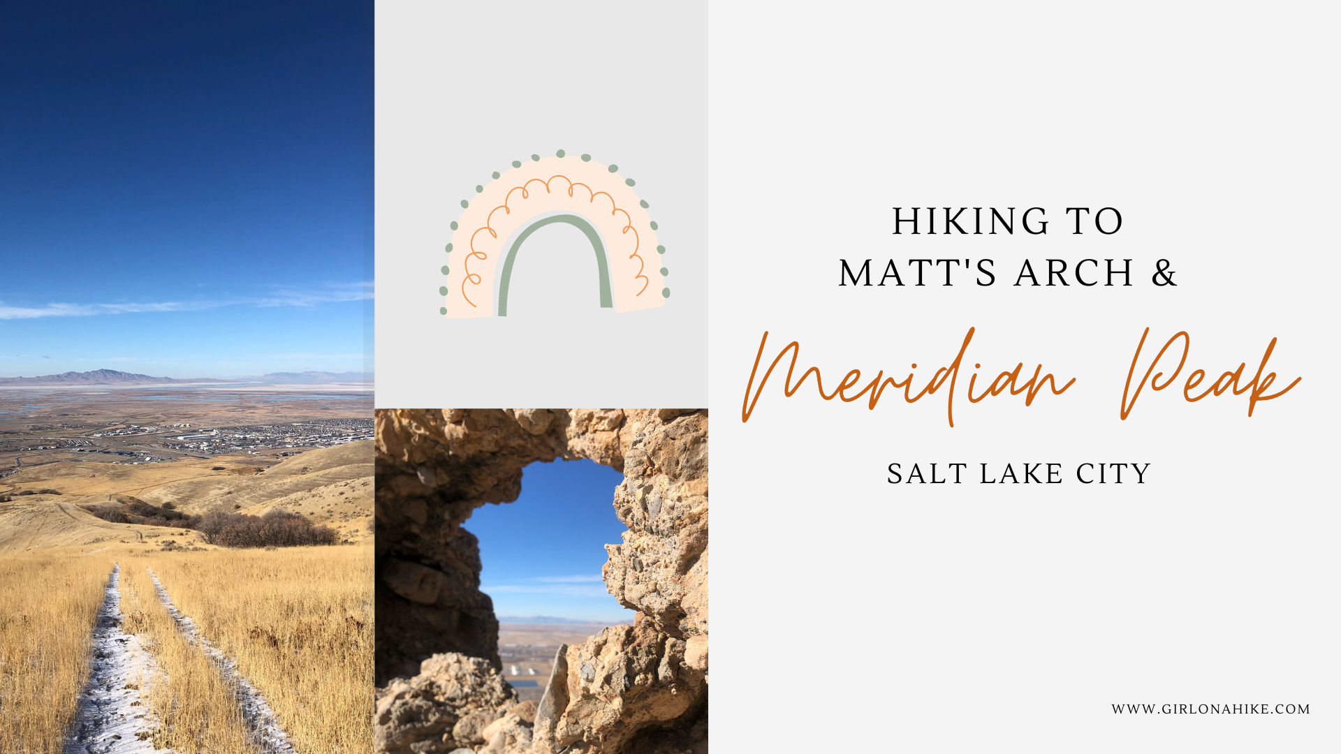

Meridian Peak (5,978ft) is small peak in North Salt Lake along the Bonneville Shoreline Trail and just north of Ensign Peak. The main trail also takes you past Matt’s Arch (aka “Industrial Arch”) – a tiny natural arch made of limestone.
About
There are trails all over, making this a “choose your own route” hike. I decided to turn my route into a 5 mile loop, and since there was barely any snow on the trail the day I hiked it, it was a perfect Winter hike. Safe from avalanches, only a few bikers, a handful of other hikers, and not hot like it normally is in summer.
There is zero shade and water on this trail, so Winter and Spring are the best times to hike here. Summer can be very hot, and packed with bikes. If you are really short on time and just want a casual dog walk, I recommend hiking to Matt’s Arch and back, which is 2.2 miles RT.
Directions
Head North on I-15 and take exit 312. At the first light, turn right on Eagle Ridge Dr. Go around the round-a-bout, then continue straight and turn right on Parkway Dr. Follow this to the “T” and turn right again on Eaglepointe Dr. Park at Tunnel Springs Park. Here is a driving map.
Trail Info
Distance: 5 miles (loop)
Elevation gain: 1,041 ft
Time: 2-4 hours
Dog friendly? Yes, technically on-leash but nobody does
Kid friendly? Yes
Fees/Permits? None

The kids area at Tunnel Springs Park.

You can park in the main, paved lot or continue straight past this sign to the dirt parking lot.

I wasn’t familiar with the area so I parked at the main lot, then followed the path south. Now I could see there was a second lot, closer to the main TH.

It only added on a 5 minute walk from the main TH.

You can immediately see Meridian Peak. If you wanted a shorter ascent, you could follow the trail leading up from here.

I wanted to see Matt’s Arch so I continued South along the BST.

Hey random person, good photo opp! Look at that layer of haze, yuck.

When you see the first small hill on your right, hike up to the that.

You’ll hike out to a small overlook, and now you have to hike down a steep, loose scree section to see the arch. If you still have trouble finding the arch, just pull up Google maps and type in “Matt’s Arch” and it will show you how close you are. But from the overlook, hike down and left towards the small rock pointed out on my map.

Well that is a little underwhelming ha! This arch is probably the size of a beach ball. But hey, always good to see things at least once, right?

Peeking through the arch.

Time to hike back up, and I found this marker.

Next I followed the main trail up, until I found I found a good split off heading East. It stayed kind of high, and below there was another trail but I was glad I wasn’t on that one because several bikes flew down fast.

Eventually the higher trail met up with the main bike trail. Thankfully, no more bikes rode past us.

Pass a cool bike ramp.

Now when you start to get closer to the ridge, look for the one and only trail leading off to the left in a big meadow. I turned here.

Then I gradually made my way to Meridian Peak! Yay, checked this one off my list!

Next I just followed the trail down the West ridge until I met up with the BST again, to create my 5 mile loop.

Charlie and I may look warm but it was quite cold! I loved that there are so many variations you can do to hike in this area. There are literally trails everywhere, so just pick one that feels good for that day!
Trail Map
Nearby Hike
This peak is further along the same ridge – if you wanted a higher mileage day you could combine both!


Save me on Pinterest!