
Ben Lomond Peak is the prominent peak above Ogden, Utah in the Northern Wasatch Mountains and sits at an elevation of 9,711 ft!
About
Ben Lomond Peak can be access from four different trails – North Skyline Trail (this blog post), Willard Basin, Cutler Basin, and from the North Fork Park.
This route is the longest at 16 miles round-trip with around 3,600 ft elevation gain. It is incredibly gradual, only becoming steep for the last mile up several switchbacks. The trail itself is very exposed, so there’s minimal shade and no water source. Because of this, I highly recommend starting no later than 5 am in the summer and 6:30 am in the Fall. September & October seem to be the best months because you avoid the heat.
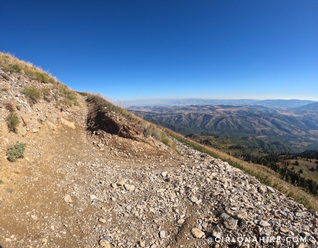
Another downside to this route is that because dirt bikes are allowed, they erode the trail turns into a V. So for at least half the time, you’re either walking like a model foot over foot, or your foot is slanted trying to stay up out of it. My feet hurt definitely hurt after this hike/run.
While I was able to hike this on a Friday, hoping to avoid the bikes and more people, I still passed six dirt bikes and eight other hikers with the same plan. I can’t imagine what it’s like on the weekend – avoid it if you can.
Another note – while this is technically dog friendly, I would not bring the pups along. This is mainly because of the issues mentioned above. The trail is also totally sandy, and they could potentially burn their paws on a hot day.
While I may talk about the “cons” of hiking to Ben Lomond via the Skyline Trail, overall, I enjoyed it. The views are constantly stunning, and it’s well worth hiking at least once.
Directions
It’s easiest to type into Google Maps “Ben Lomond Trailhead – Eden, UT” and have it guide you. Here is a driving map. From SLC, it’s about an hour’s drive.
Trail Info
Distance: 16 miles RT
Elevation gain: 3,600 ft
Time: 5-8 hours
Dog friendly? Yes, but not recommended
Kid friendly? No
Fees/Permits? None
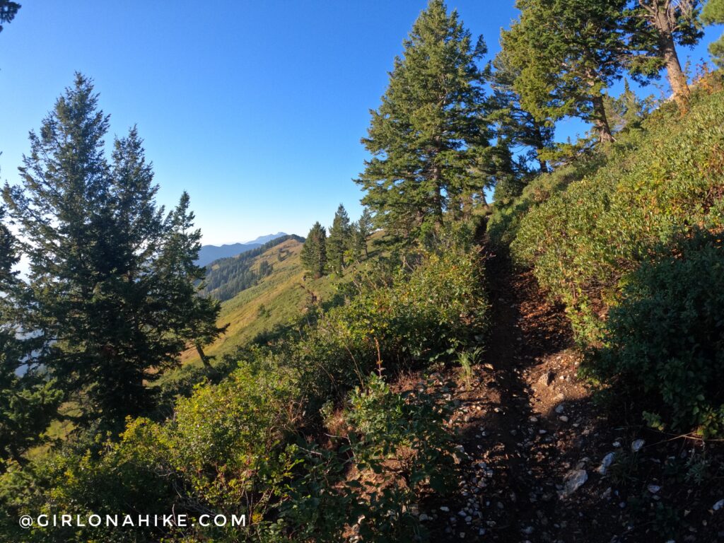
The trail begins across the parking lot. The first 2.5 miles are long switchbacks. At mile 1.5 you will have an amazing overlook to Powder Mountain, Eden, Utah, and Pineview Reservoir (to the far right).
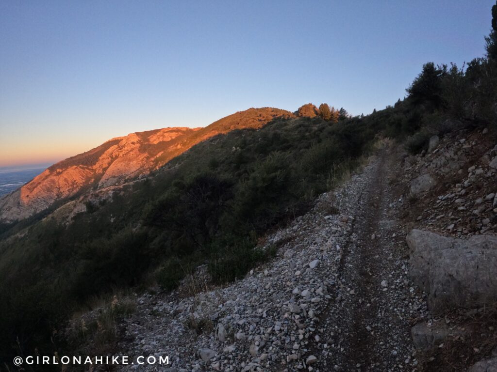
I started hiking at 6:45am and the morning light against the rock was so pretty! I was surprised that the TH was busy that early on a Friday morning. I knew this trail would be very exposed so I started hiking in the dark to be back down before the worst of the heat.
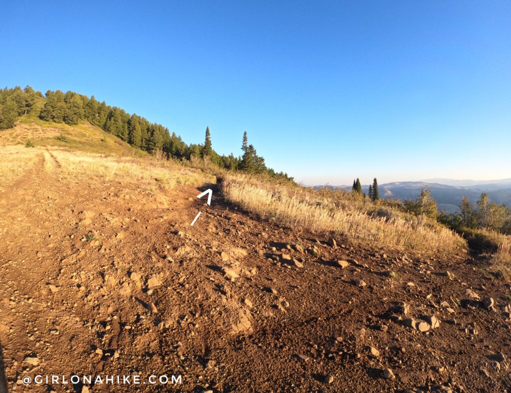
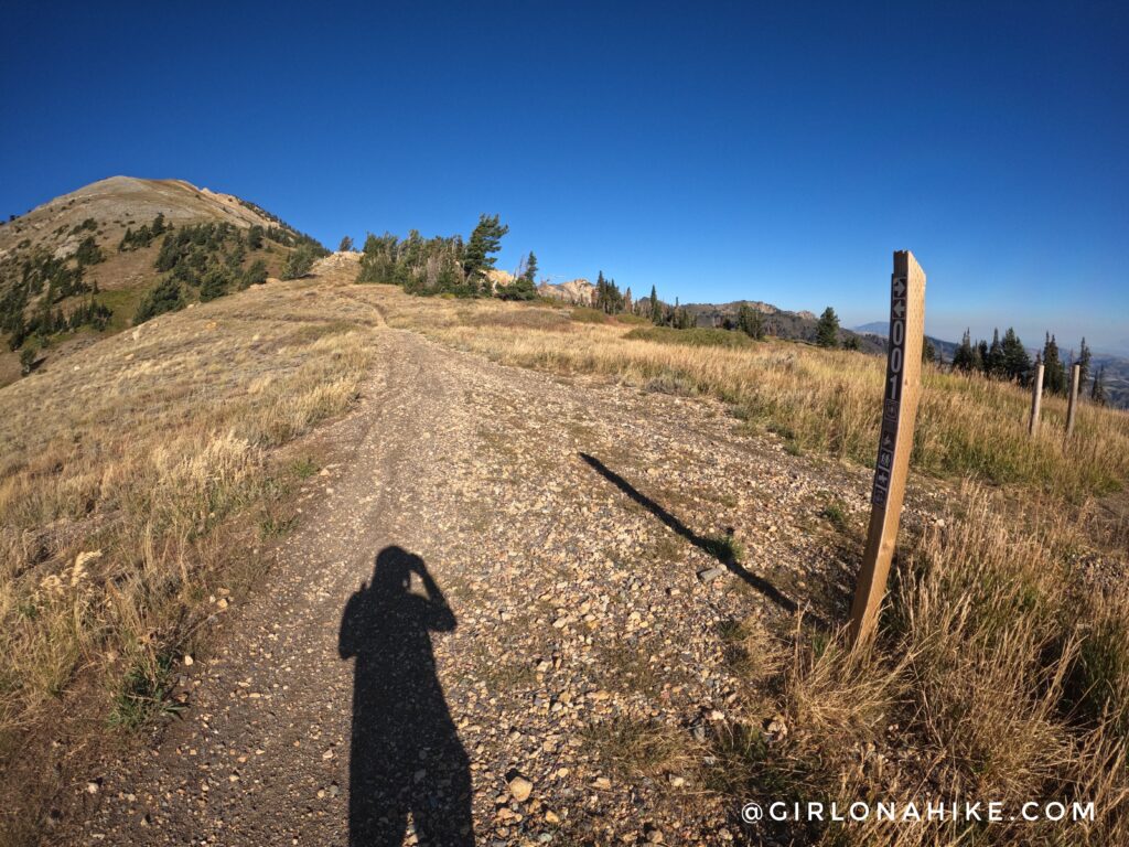
At mile 2.7 you reach an open intersection – follow the curve of the main trail.
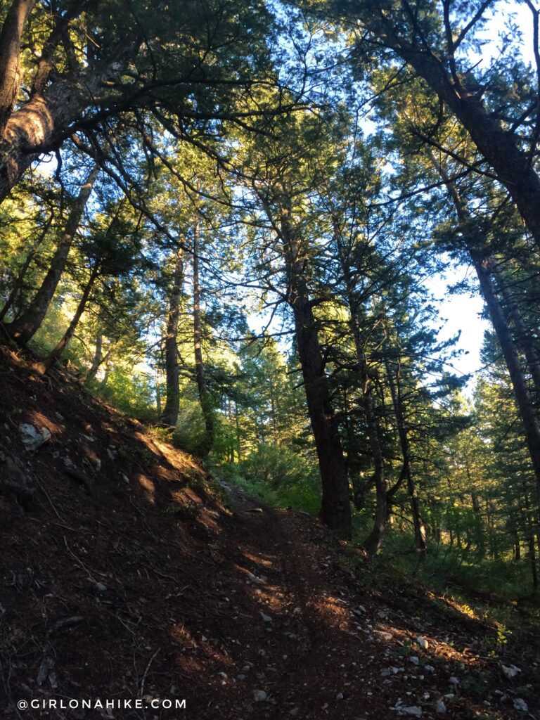
Ahh finally, the one shaded section! It doesn’t last long though.
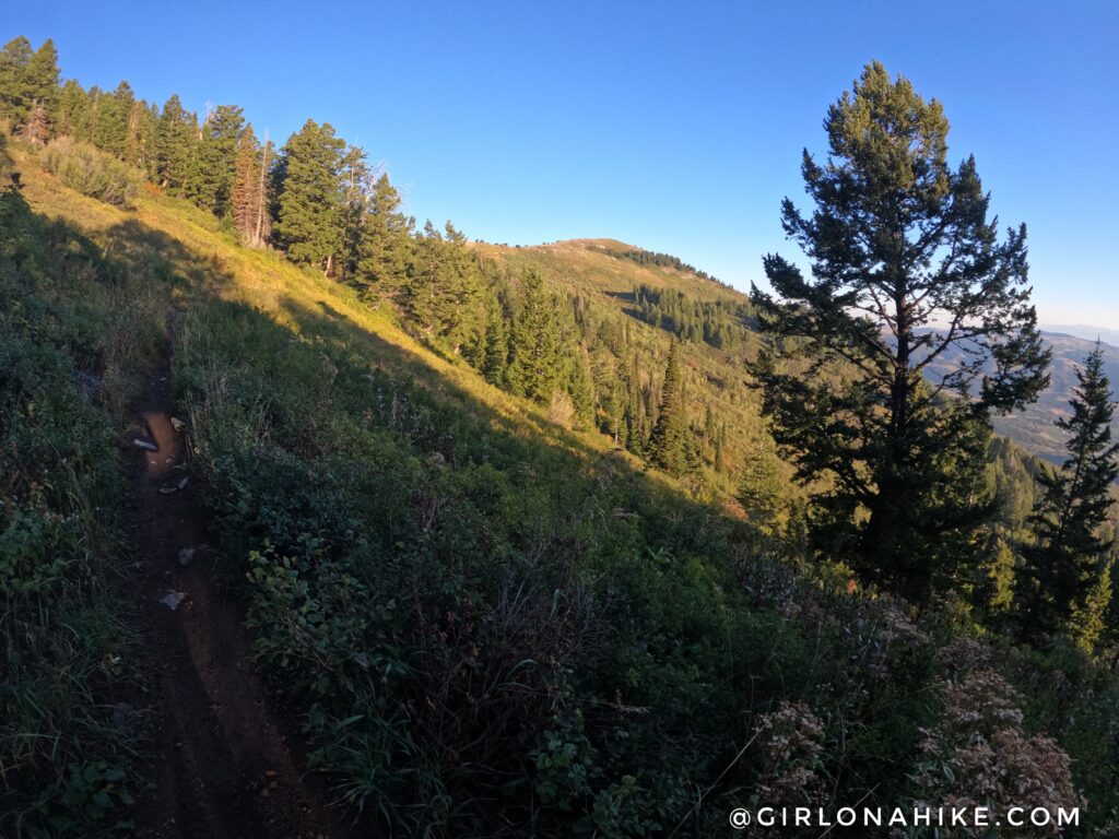
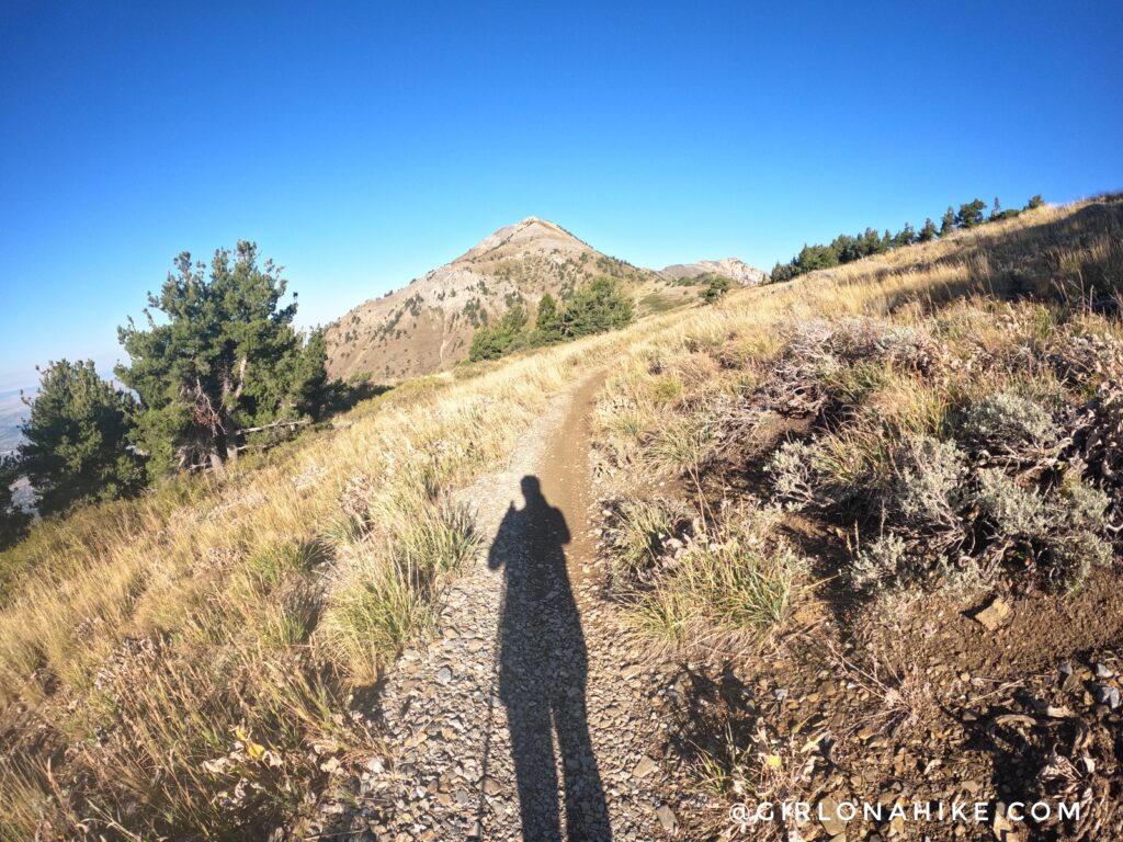
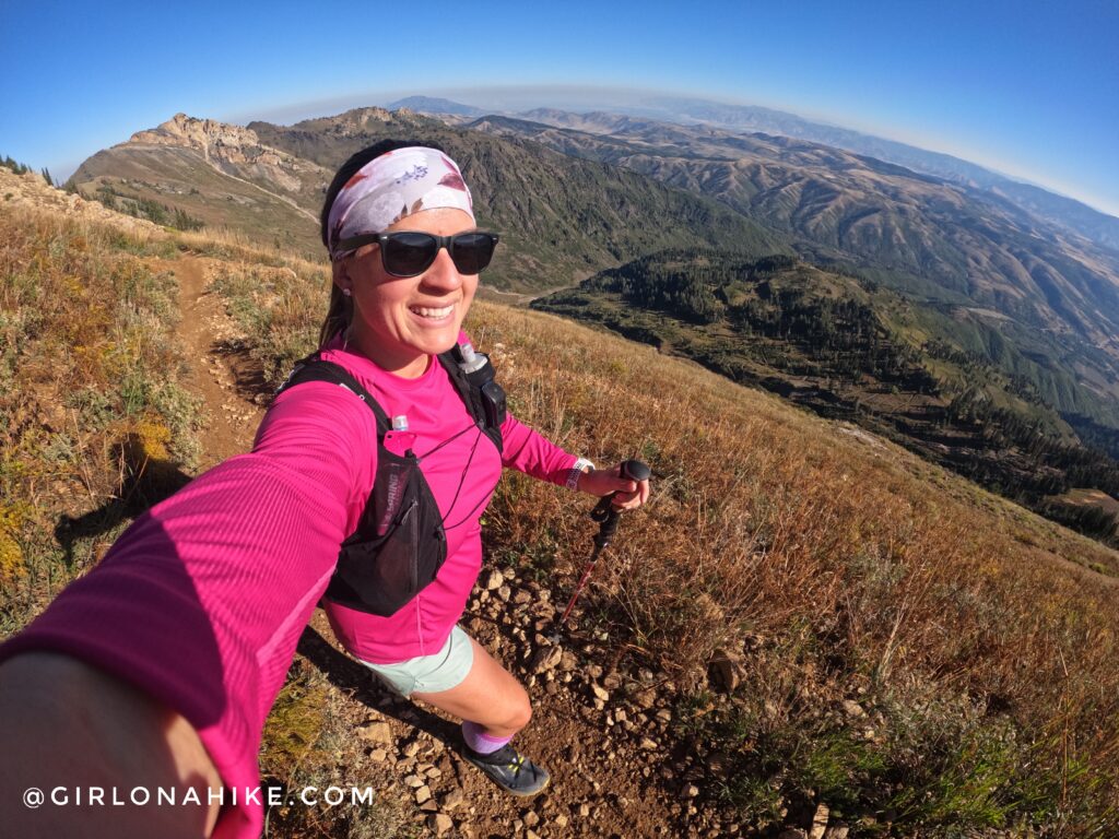
The views open again, and now you can see where you will be heading. I initially thought this was Chilly Peak ahead, but not quite yet. However, you will reach the main ridge right below this small, unnamed summit.
Another long switchback.
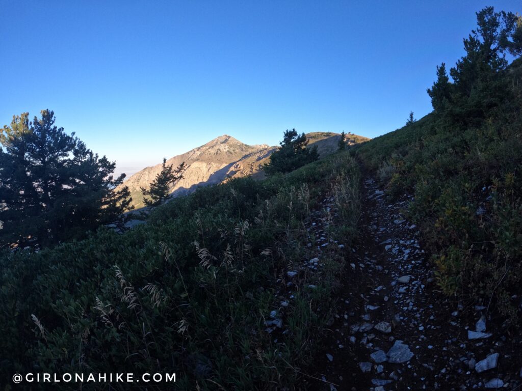
Once you reach the main ridge, take a hard right and you can now see Ben Lomond Peak! It sure didn’t look like it was another 4 miles away.
For my route, I wanted to also hit Chilly Peak. So near the saddle I just aimed up, then caught a decent trail leading to the actual summit. Check out my map below for how I got there.
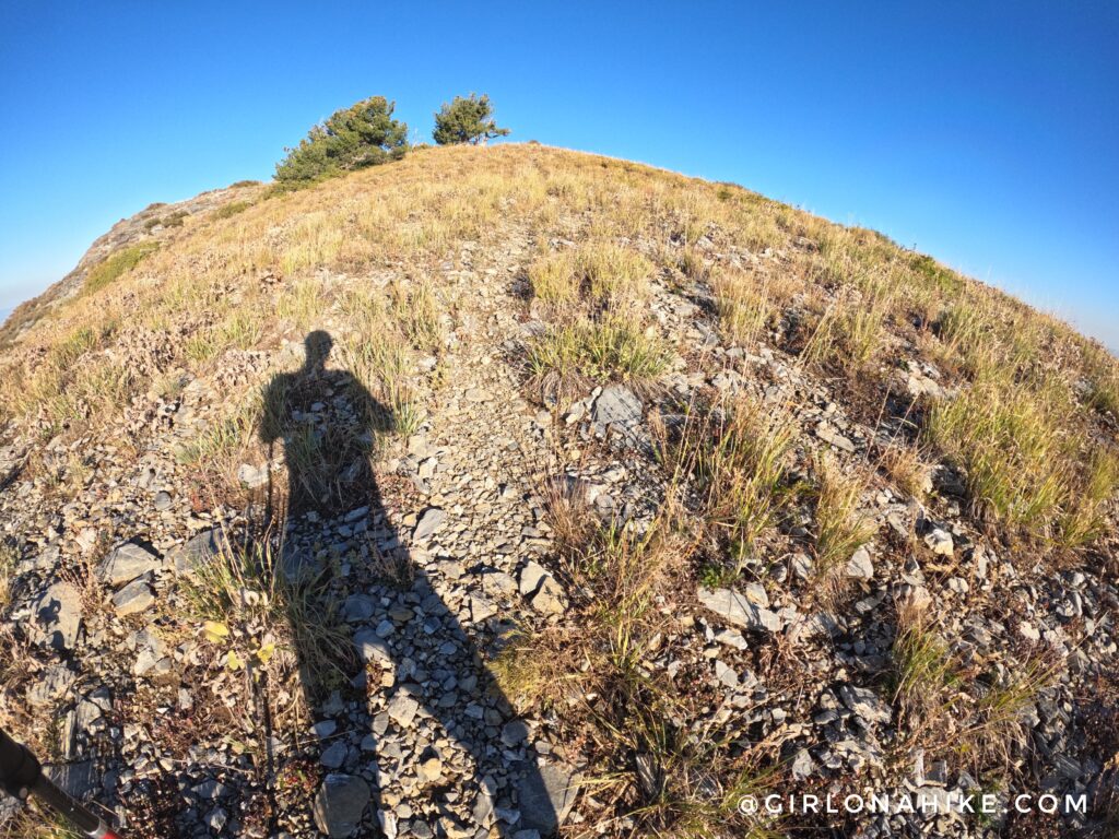
Woot woot, Chilly Peak!
That early morning light felt so good, and with the view of Ben Lomond Peak, I knew I was close! I thought I would be able to continue past Chilly Peak and catch the trail, however it seemed to cliff out. So I went back down the same way I came up. I’m glad I did that, because when I got to the other side, I could see the actual cliff. Good thing I turned around!
Getting closer! It sure doesn’t seem that far away.
Reach the major trail intersection and stay left.
Now the next mile is a steady climb of switchbacks.
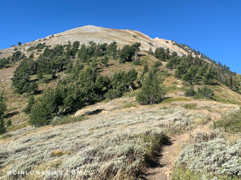
As you get higher you’ll notice you are now above tree line for this area.
Whew, look at those views! PS you can get 10% off headbands from Lilac Market here – just use the code “HIKE” at checkout!
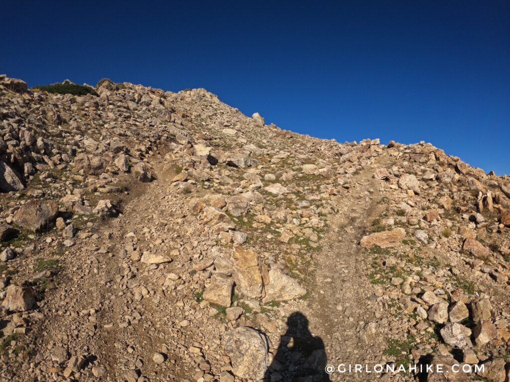
As you closer to the summit it seems like there are multiple trails – they all lead up and to the same place.
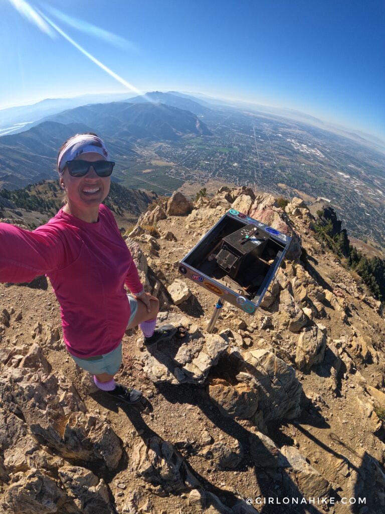
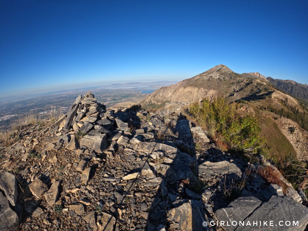
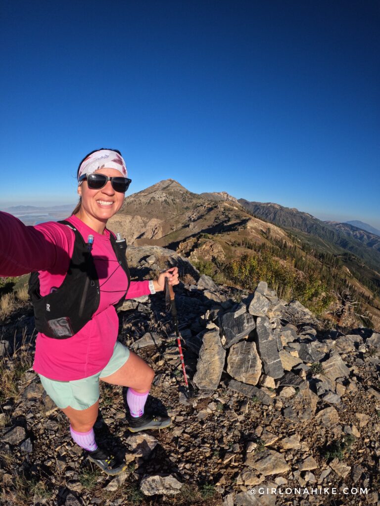
Woot woot, on the summit of Ben Lomond Peak once again!
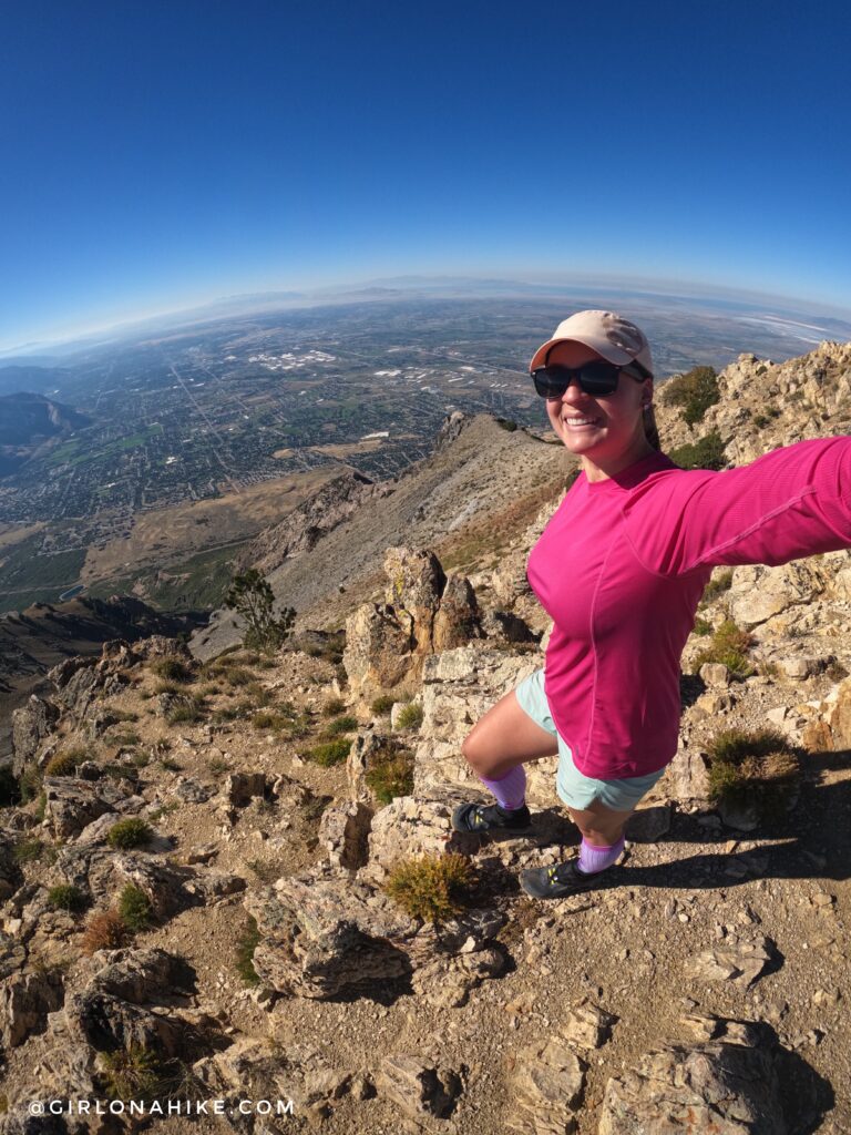
The view down to Ogden and out to Salt Lake is stunning! I’m so glad I tried this trail—the views were unbeatable, and even with sore feet from the V trail, it was totally worth it!
Check out my Video!
Trail Map
My track via Gaia GPS – the best tracking app! Get your app here for a discount.
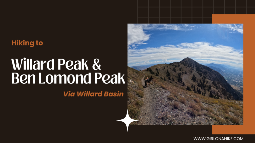
Nearby Hike
Hiking to Willard Peak and Ben Lomond Peak via Willard Basin

Save me on Pinterest!