About
The best time of year to hike/backpack in this area is late Summer through Fall.
Directions
It’s easiest to use this link and have Google Maps guide you. From SLC it’s about a 3-hour drive.
Trail Info
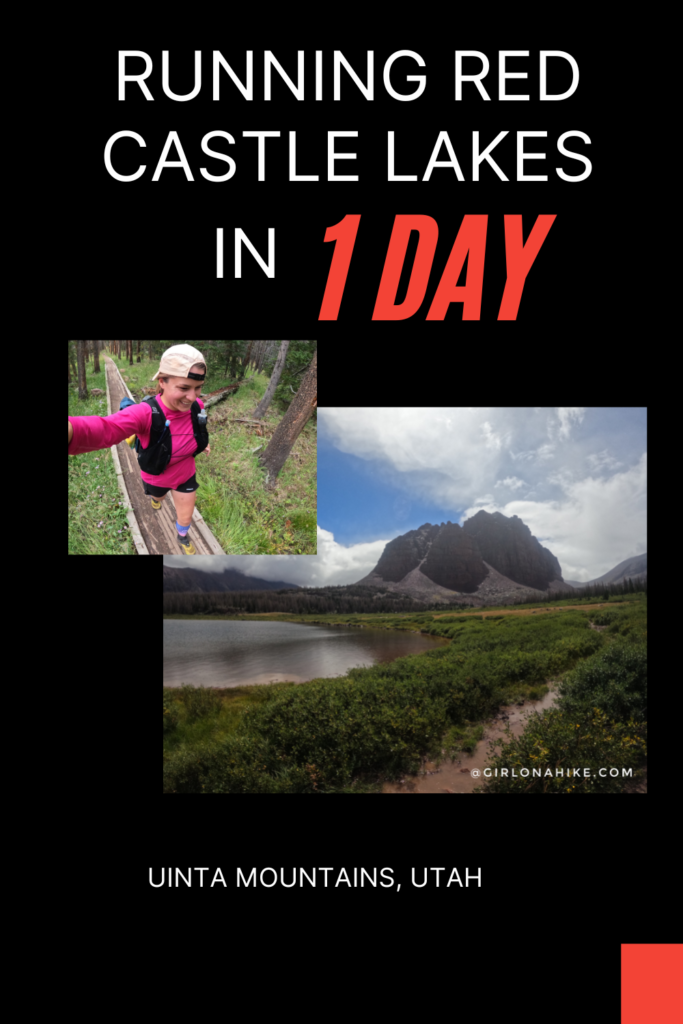
Distance: 24 RT
Elevation gain: 1,900 ft
Time: 8 -10 hours, or minimum 1-night backpack
Dog friendly? Yes, off leash
Kid-friendly? Yes, ages 10+
Fees/Permits? There is a $5/day fee to park at the TH, no permit is required
FAQs
Where can I camp?
There are two campgrounds near the trailhead. The “Trail Head Campground” is right at the TH, and offers 9 first-come, first-serve sites for $18/night. In high season (June–Sept.), spots fill up quickly, so it’s best to arrive mid-week.
Alternatively, you can camp at “China Meadows Campground” 3/4 mile away, which is reservable 6 months in advance for $18/night. I reserved my spot 6 months ahead, on February 19 for an August 19 arrival. With only 9 spots, they book up fast, so plan ahead! Book here!
The third option is dispersed camping along a nearby dirt road, but it lacks amenities like tables or fire rings, and road conditions or spot availability are uncertain, especially in high season.
When is the best time to hike this?
The best time of year to hike/backpack in this area is late Summer through Fall. Late August is my personal favorite because the mosquitos are mostly gone, kids are back to school so it’s much quieter with fewer people, and daytime temps are much cooler!
Do I need a 4×4 vehicle to reach the trailhead?
No, the road is well-graded, however, there are many potholes. 4×4 is not required but a higher clearance car like an SUV will make the drive more enjoyable. Small cars will have to go quite slow due to some rocks, but it is doable.
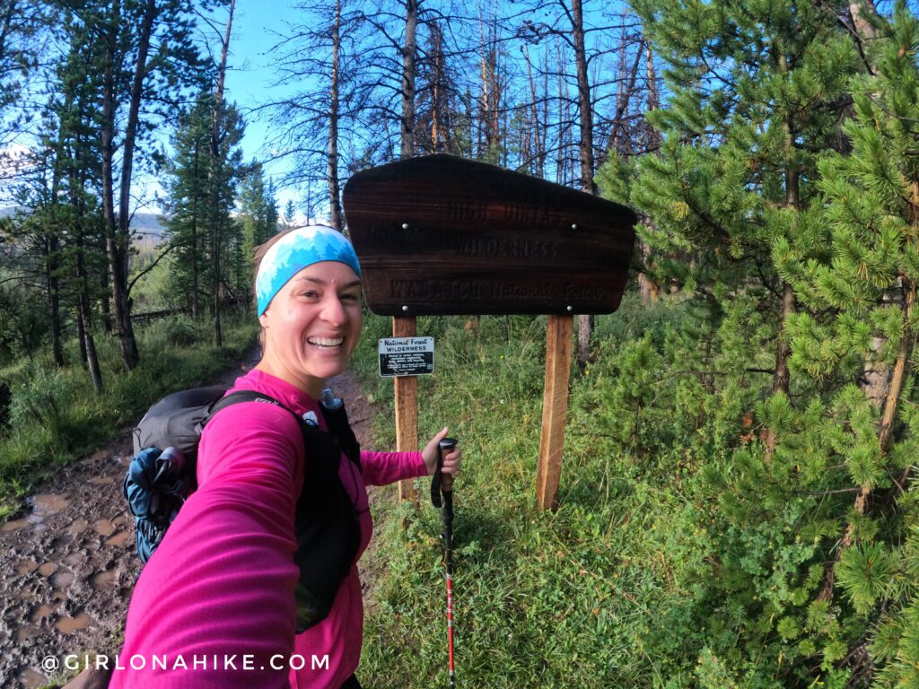
I was so excited to start that I forgot to get a photo of the actual TH and parking lot! Thankfully the High Uintas sign was only about 10 minutes into the actual hike.
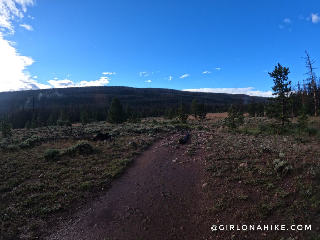
It rained the entire previous night so the trail was quite mushy and wet. But, blue skies were starting to appear!
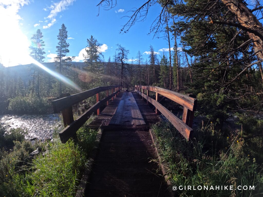
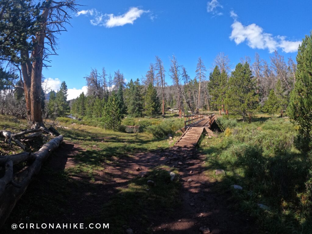
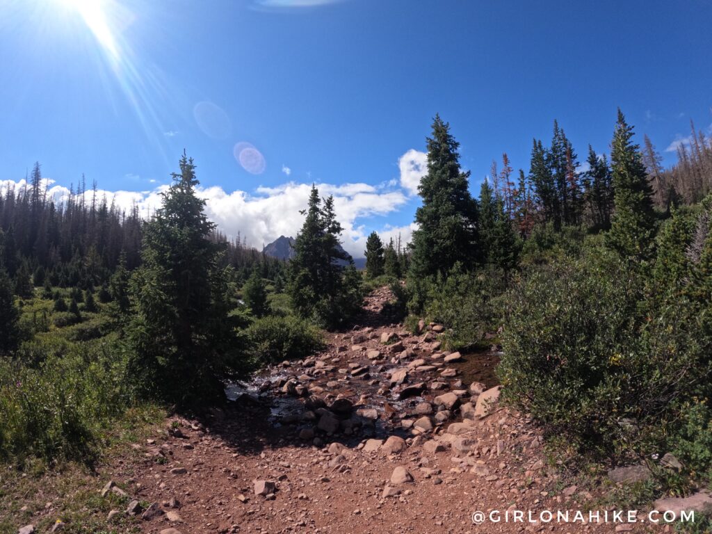
At mile 1.5 cross the first bridge.
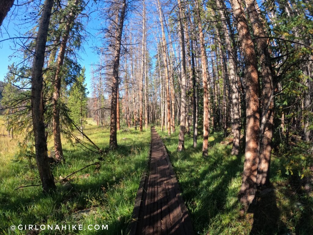
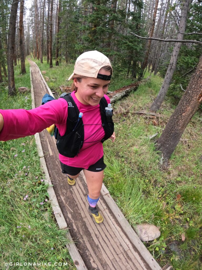
One of my favorite sections – a long stretch of the Uintas boardwalk. These are so fun to run on! But be aware of nails sticking out, especially with kids and dogs.
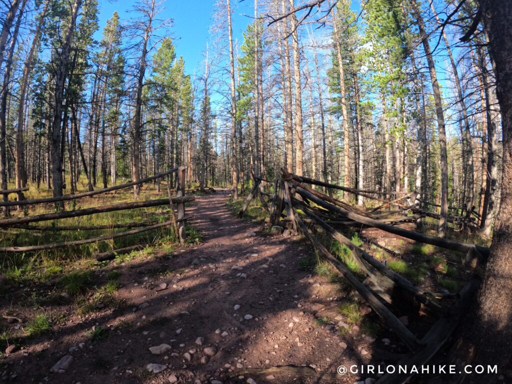
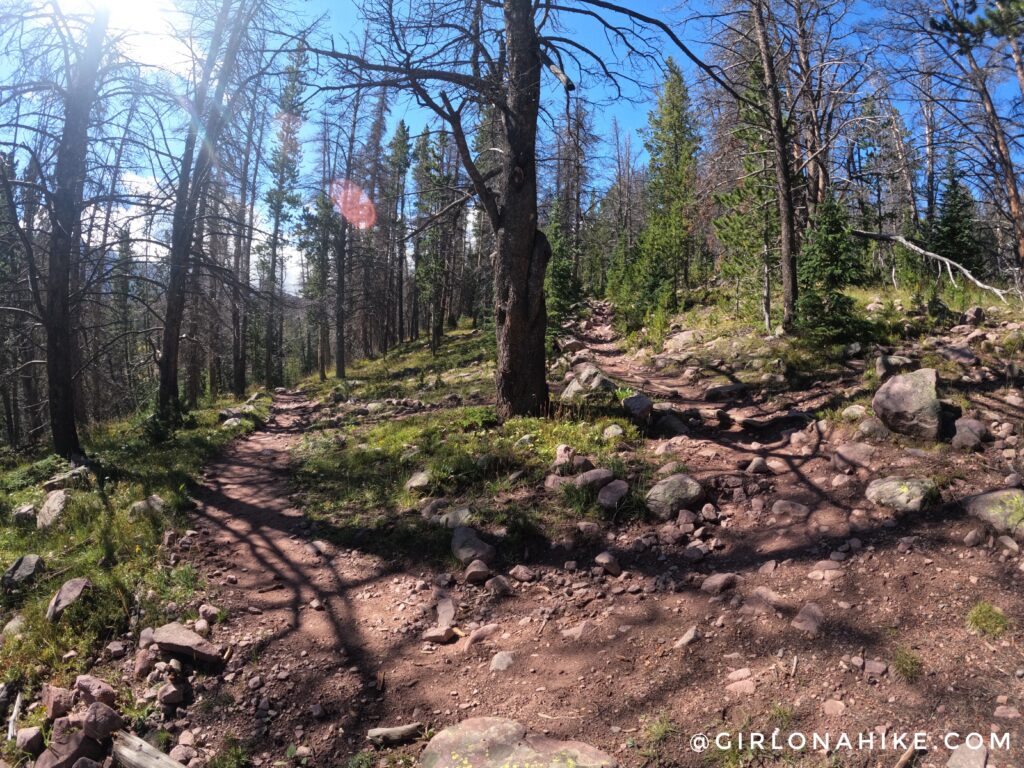
AT mile 3.5 you will see what looks to be a cattle fence, but the actual gate is missing.
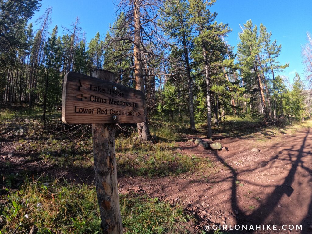
Mile 4.5, the first trail split for Red Castle Lakes. Stay right.
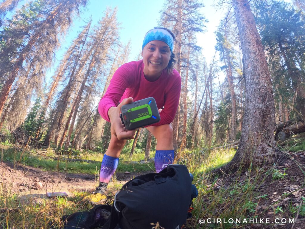
For this particular day, we used two ZOLEO’s – one for myself as usual, but then we borrowed another for my partner to have at camp so that we could communicate. There is zero cell service in the area so having some sort of satellite communicator is key. We were able to text each other all day so I could let him know how I was doing for my big run! The ZOLEO has a 200-hour battery life, so we both felt comfortable just leaving them turned on all day.

One of the worst sections of the trail – about a 2 mile-long stretch of just a muddy, wet mess. It’s hard to tell in this photo, but there are very few rocks and logs to use to hop across without getting your shoes wet. I didn’t take many pictures during this section of the trail because I was trying not to fall into mud holes. Yuck!
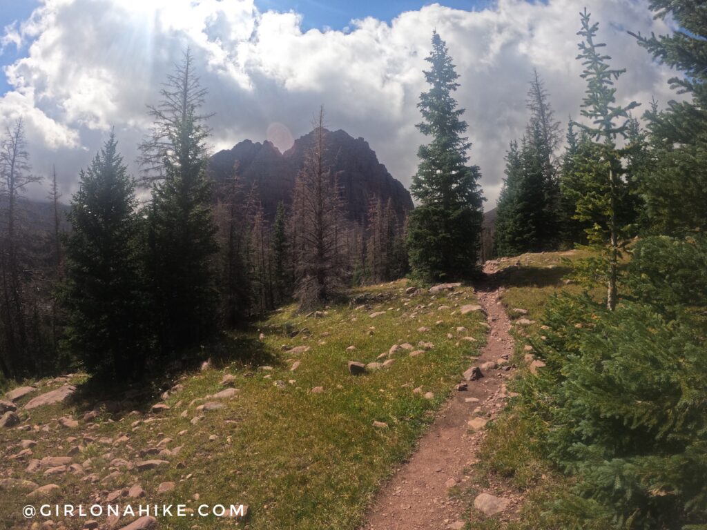
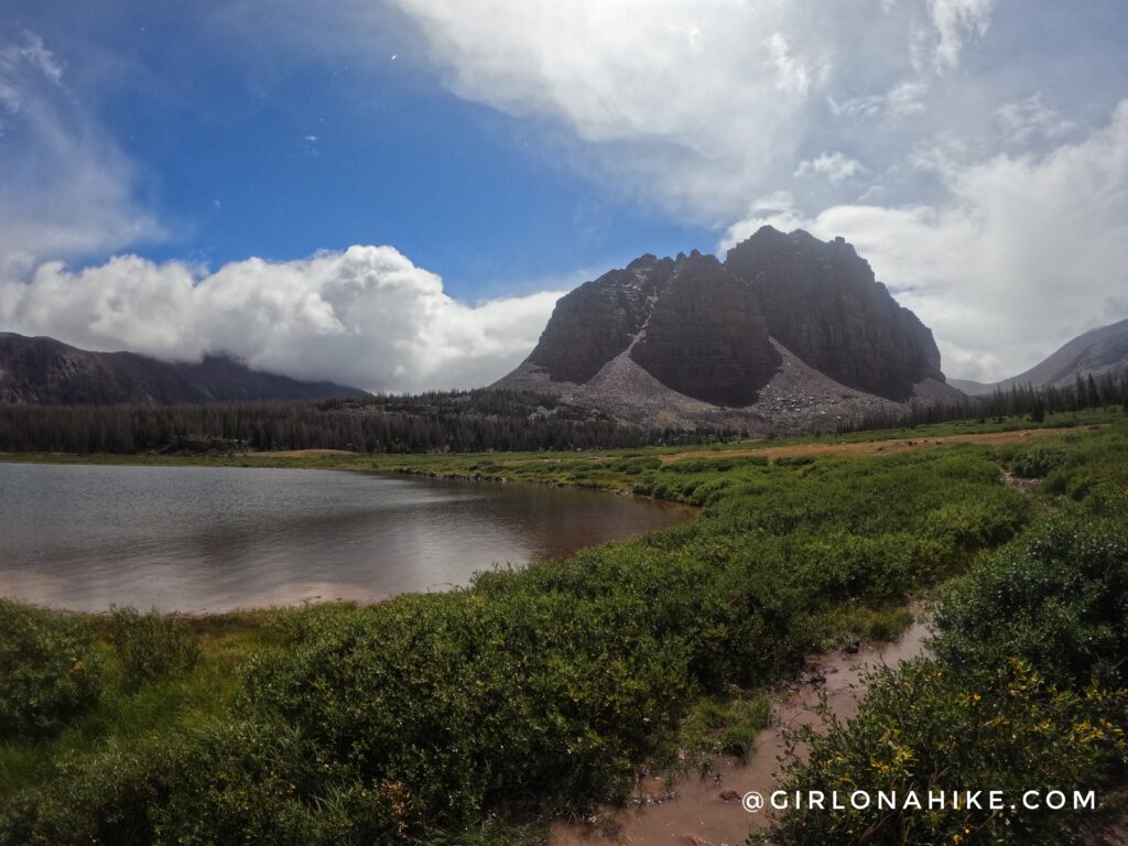
Finally at mile 7.7 you will cross the next bridge and the trail greatly improves. This is where you will also be able to see Red Castle for the first time!
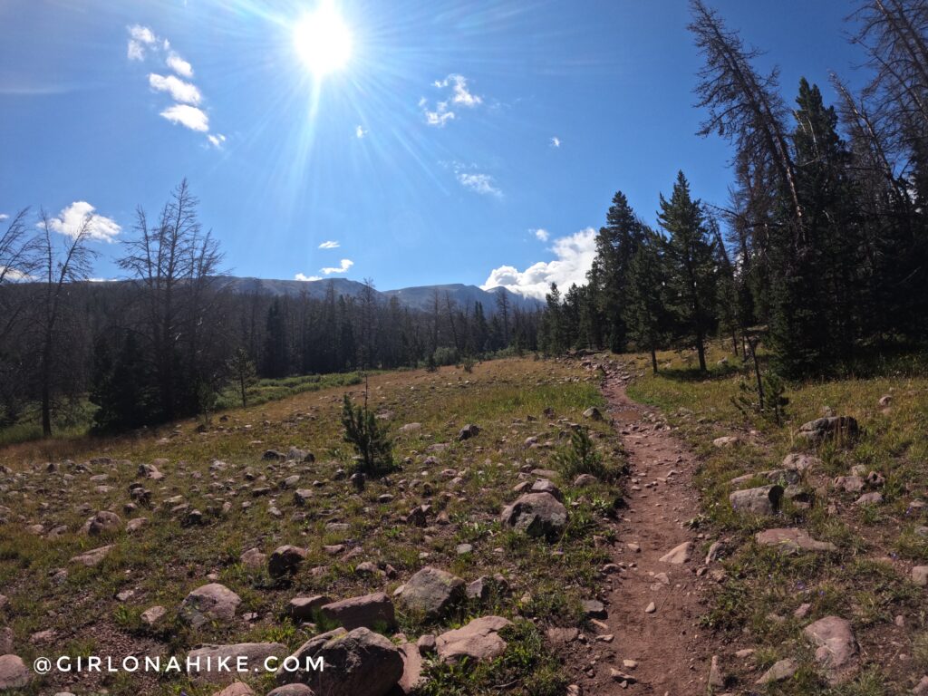
The sun was still shining, and I was so happy to have a dry section of trail.
You will then hike up 3-4 switchbacks. They are long, so they are not very steep.
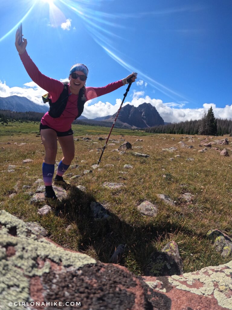
A creek crossing with Red Castle sticking out in the distance behind the trees. Almost there!
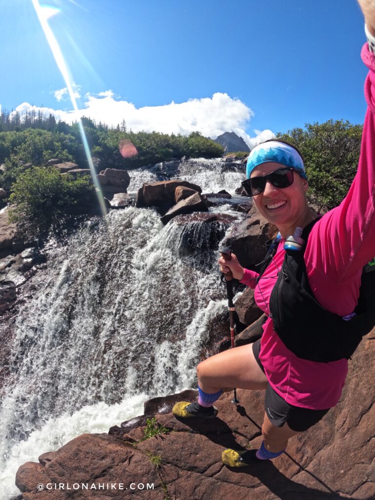
But first, I had to stop and check out the waterfall!
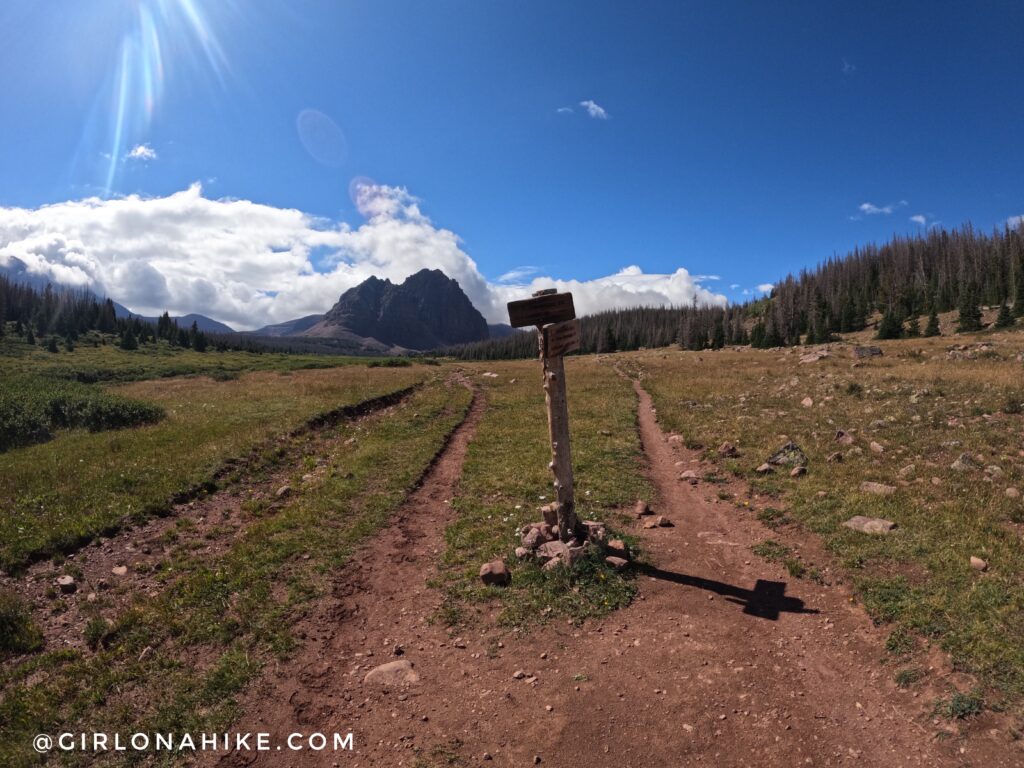
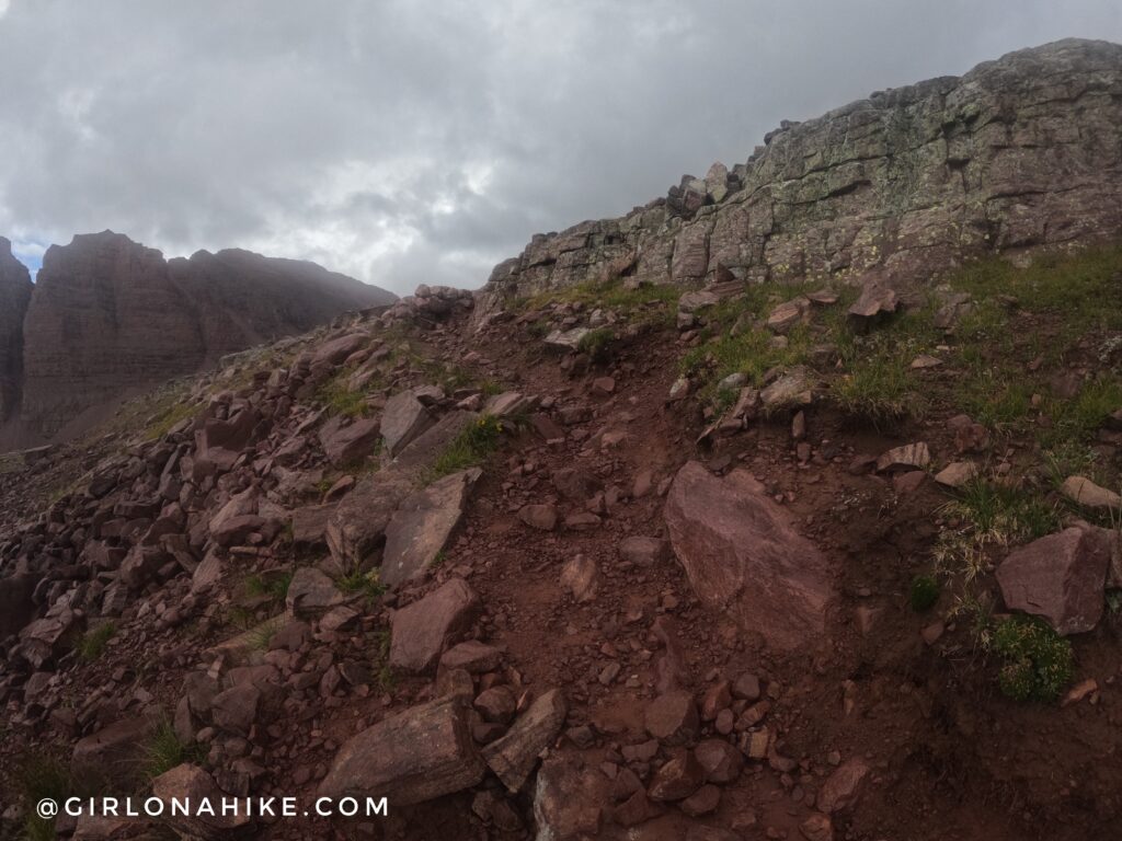
You will see this major trail split. Stay right and high! I took the lower trail on the way back and it was awful – wet, muddy, and tracked out bad from horses and sheep.
It’s hard to get good pics when you are by yourself, but I make it work with rocks to prop up my GoPro on!
Continuing further the dark clouds started to arrive.
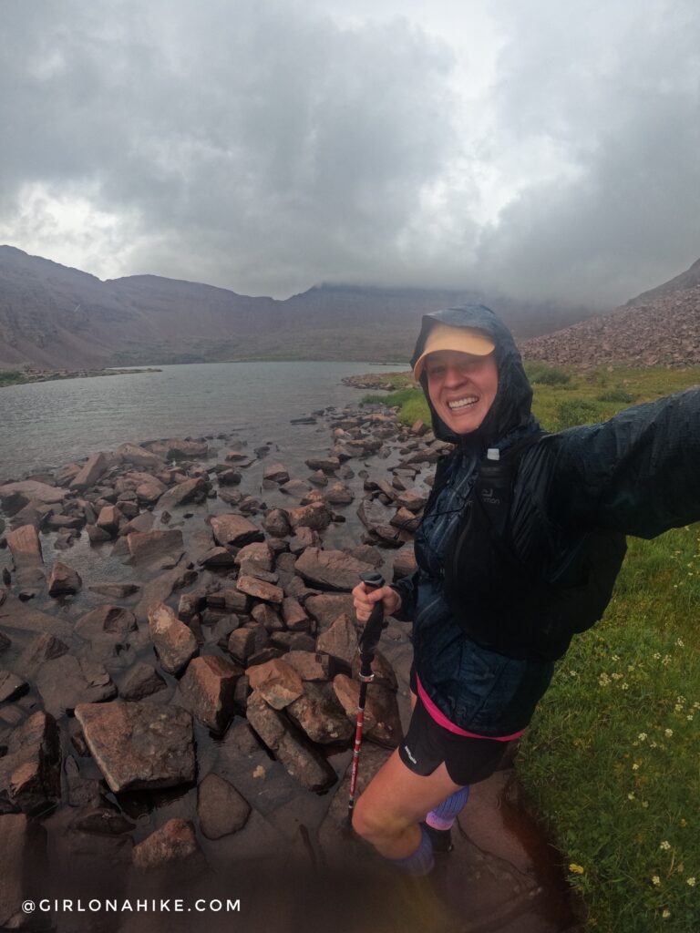
I made it just past this pond when the rain decided to arrive.
Rain, rain, go away! Oh well, I’m still smiling because I get to be outside!
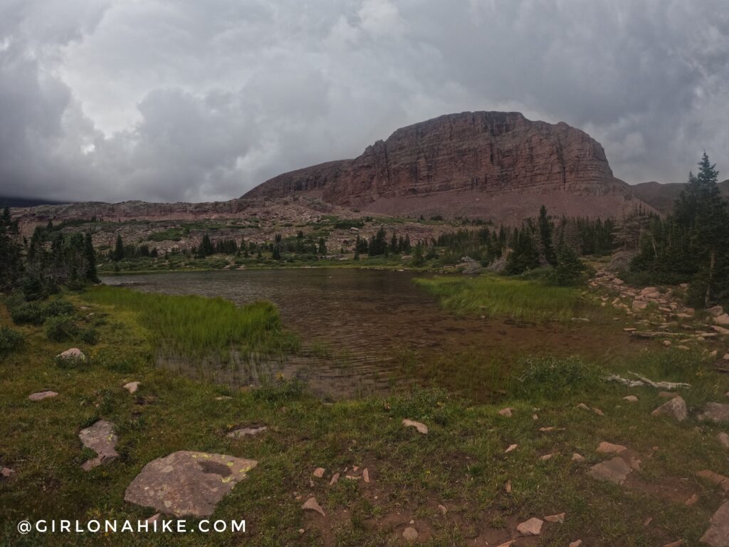
One last little climb before reaching Red Castle Lakes.
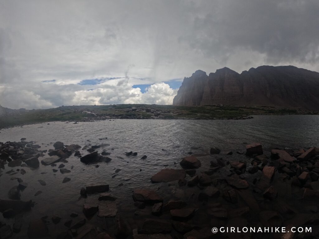
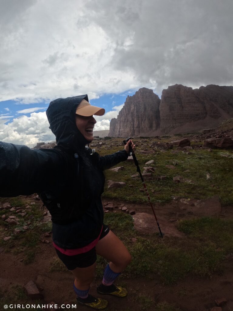
Now this is when the rain really started to come down. I had planned on getting to Upper Red Castle Lake and even possibly the pass, but the weather had other plans for me.
I really wanted to hit 13.1 miles (so I could reach my 26.2 marathon goal), but at mile 12 I called it. The clouds started to drop more into the basin, and I knew that the last 1.5 miles would be a boulder field. I didn’t feel safe hiking through slick rocks by myself. The temperature dropped at least 10 degrees and the wind really picked up. I was frustrated, but also, I was at least glad to make it this far.
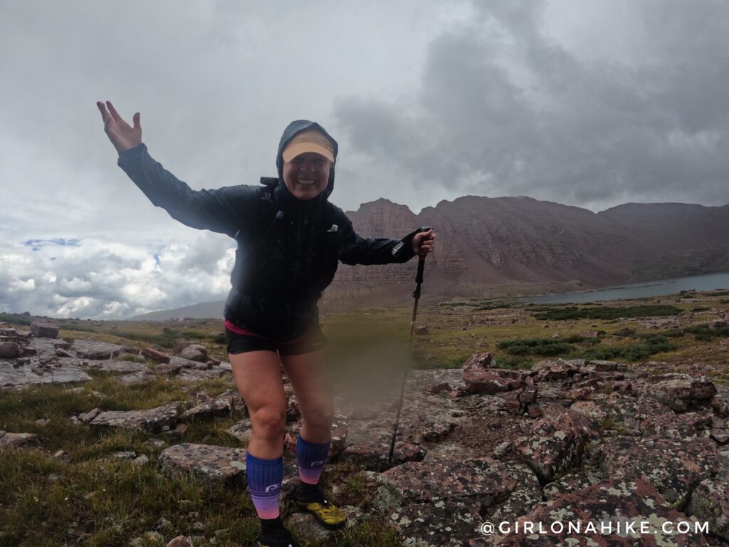
One last pic at Red Castle Lakes before heading out!
Of course, as soon as I got out of the upper basin the sun appeared! But, can you see how wet the trail was? It was basically a stream, and I had to do my best to rock hop to keep my feet dry. It didn’t work very well.
Finally, on the way back out, I got a few good miles of running in (except for the nasty 2-mile mud section), and I was so happy! What a day!
My overall distance was 24.5 and it took me 8 hours 22 minutes. I wasn’t going for speed, pace, or a certain time. My goal was simply to run Red Castle in a day and not feel like crap afterward. Goal achieved!
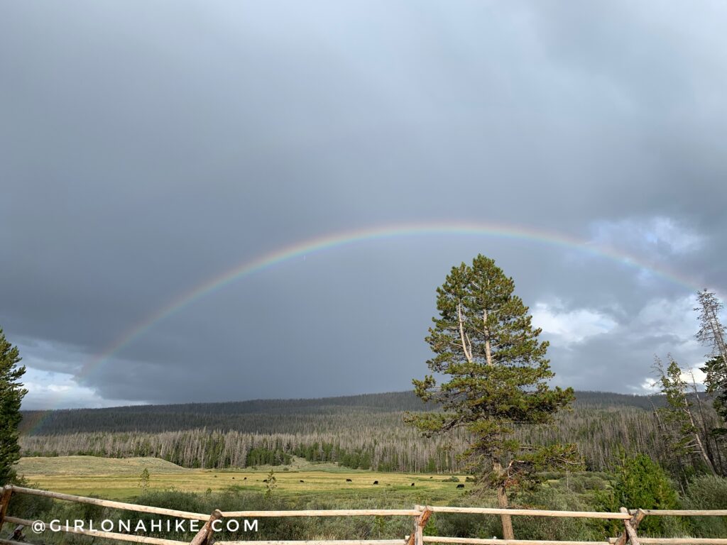
Once back at camp, more rain arrived but I was rewarded with a beautiful rainbow!
Videos
Watch the run!
What did I carry?
Trail Map
My track via Gaia GPS – the best tracking app! Get your app here for a discount.
Recommended Route
Hiking to Red Castle Lakes via Bald Mountain

Save me on Pinterest!