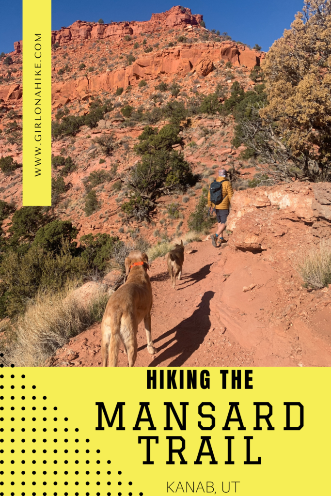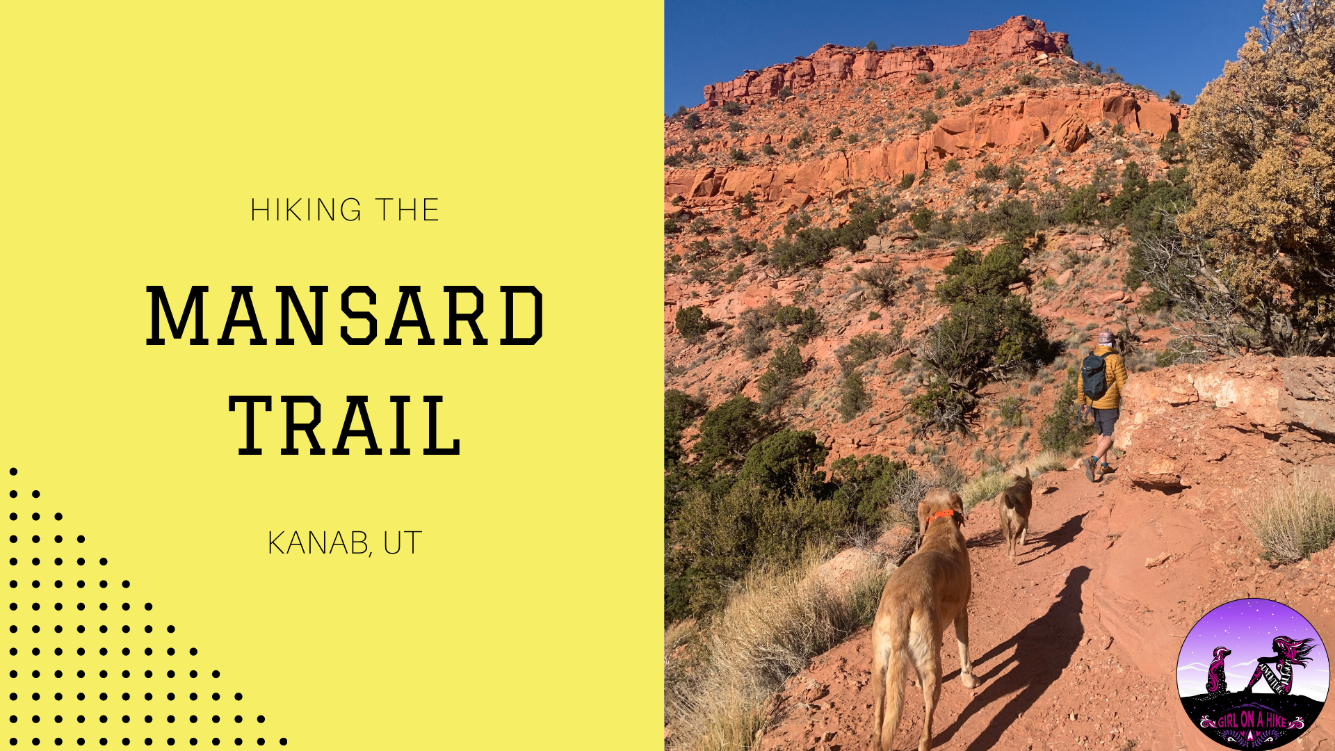
The Mansard Trail is located in Kanab, Utah and leads to a large alcove that is home to several petroglyphs.
About
The trail itself winds its way up several gradual switchbacks before reaching a 6 ft scramble. Dogs and kids will need a boost, but otherwise the trail is quite easy. Halfway through you will reach the mesa, and the trail is mostly flat the rest of the way, but becomes very sandy.
This trail is best during Winter months. Hiking this in summer would be extremely hot, not to mention the sand would burn the dogs paws. In winter plan to bring at least 2 liters of water. Even though the high on the day we hiked the Mansard Trail it was a high of about 45F, it still felt quite warm. The dogs drank a lot of water. There is very little shade on the trail, so start early if hiking here on a warmer day.
Directions
From Kanab, UT head East on HWY 89 for 6.4 miles. Turn left on Canyon Ave, then another left on Grande Vermillion Ave. Turn right on Coyote Canyon Way, then left on Rock Ledge Lane. At this point the road will turn to turn, cross a cattle guard with a trail sign, and drive to the very end of the road, veering right for the Mansard Trailhead. 4×4 is not needed, as any car can make the drive.
Here is a driving map up until the dirt road.
Trail Info
Distance: 4.5 miles RT
Elevation gain: 786 ft
Time: 2- 4 hours
Dog friendly? Yes, off leash
Kid friendly? Yes, all ages
Fees/Permits? None
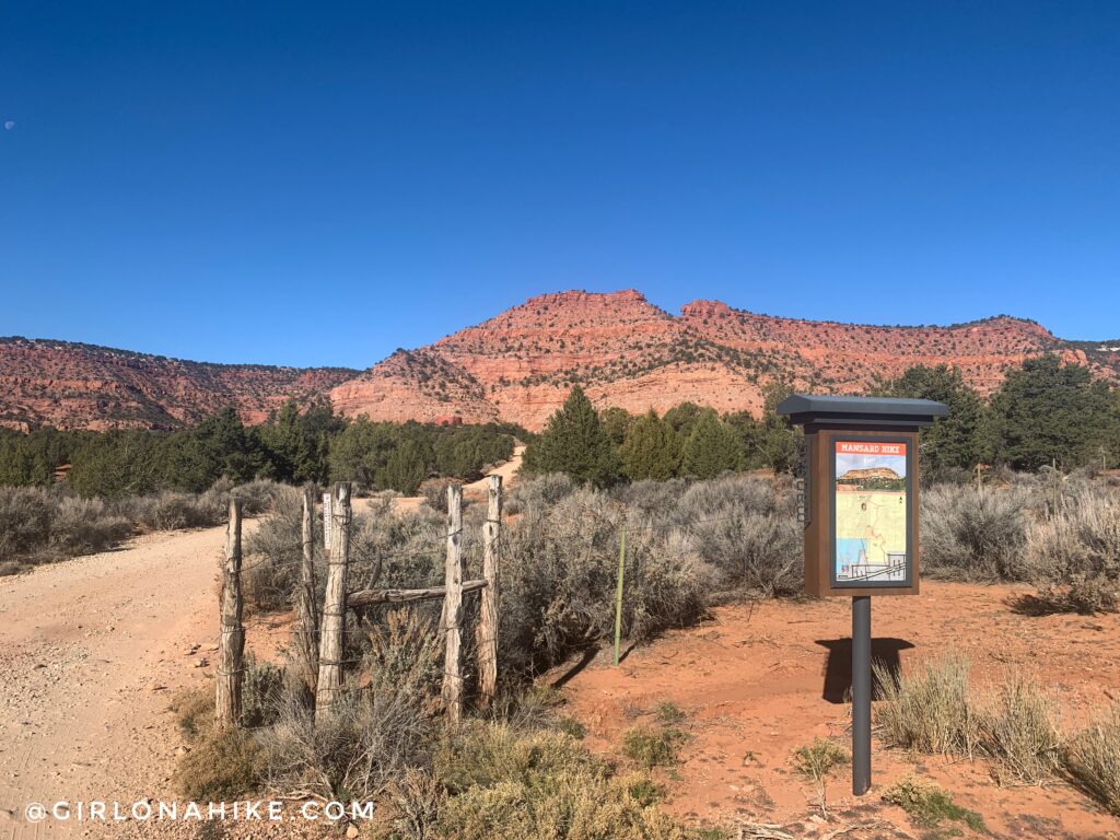
When the road turns to dirt you will see the trail sign off to the right. Drive to the very end of the road and start hiking at the official black BLM sign. There are no restrooms.
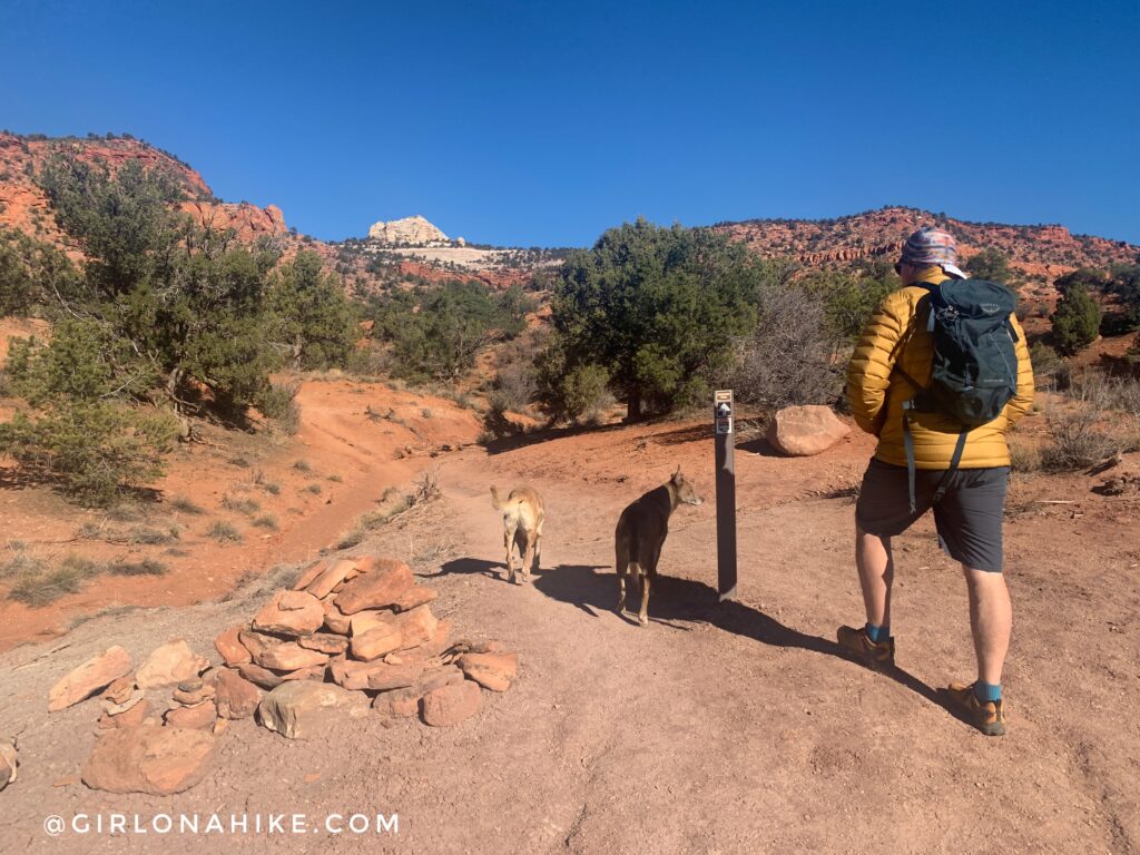
The trail is very easy to follow, as it is well-marked.
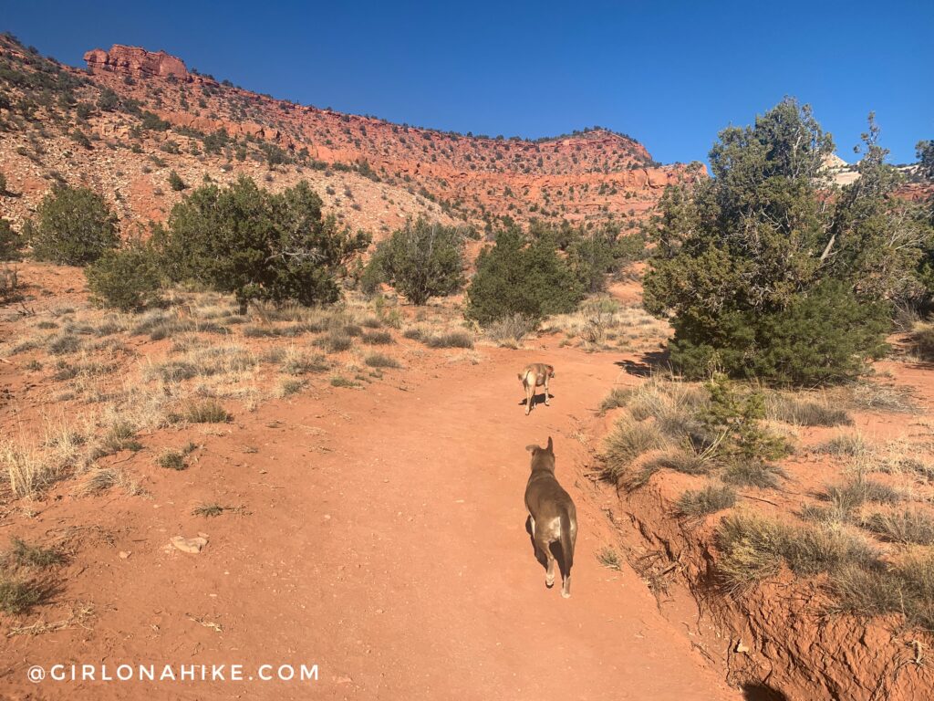
At the beginning the trail is also very wide, but soon narrows to a single track.
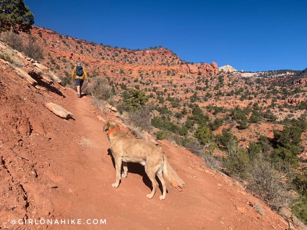
![]() Now it’s time to start gaining elevation. Eventually you will be hiking on top of the mesa ahead.
Now it’s time to start gaining elevation. Eventually you will be hiking on top of the mesa ahead.
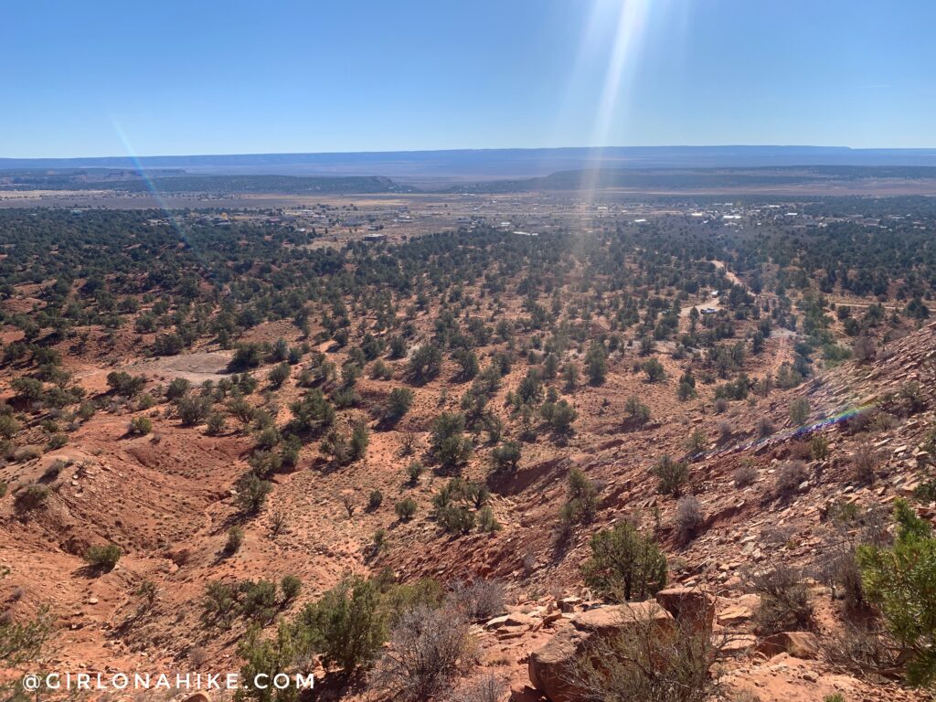
The view looking back down to the parking lot and East end of Kanab.
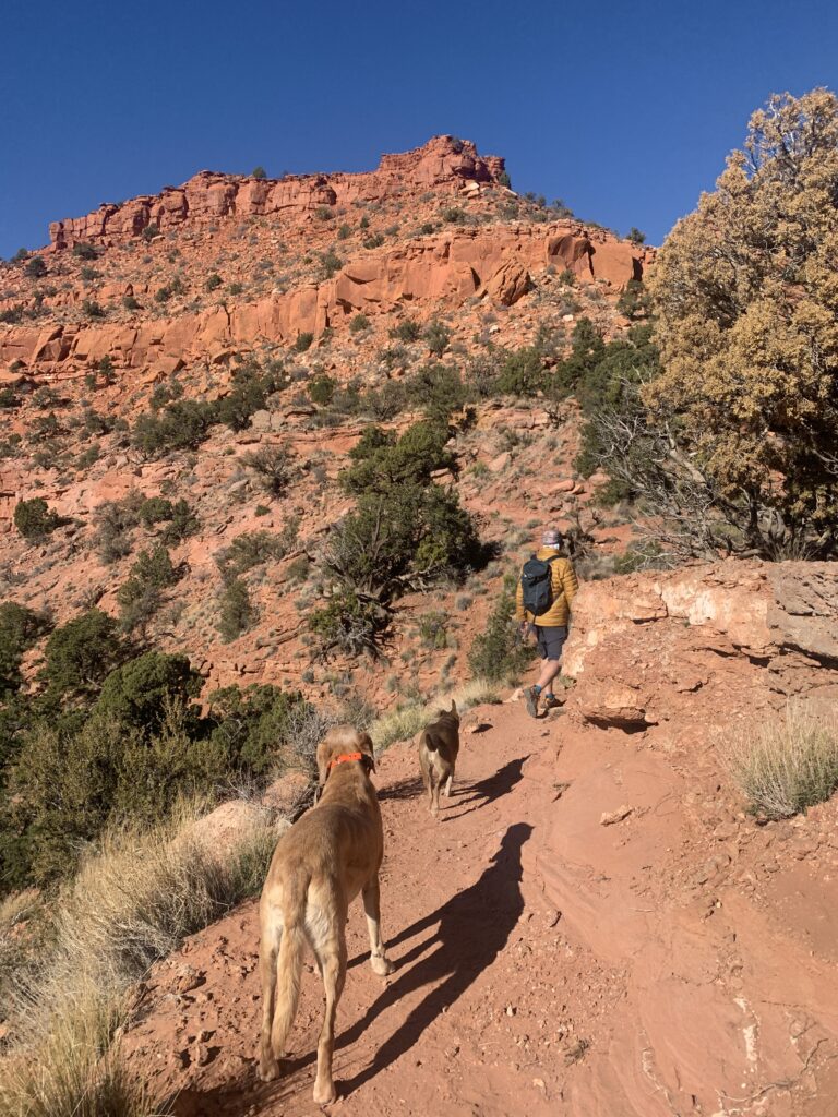
My kind of day – dogs, friends, beautiful red rock, and blue skies!
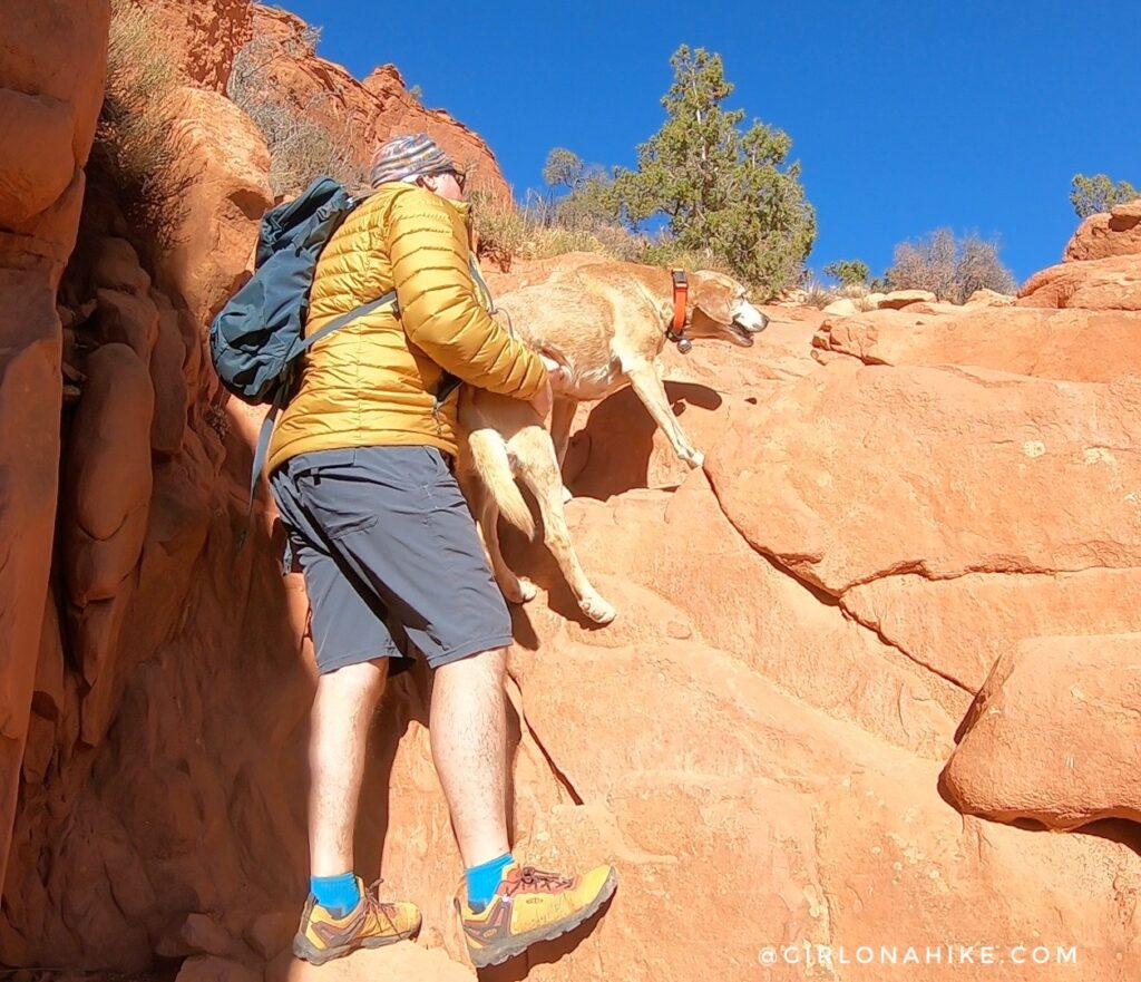
Around 1 mile reach the 6 ft obstacle. This is where kids and dogs will need a boost.
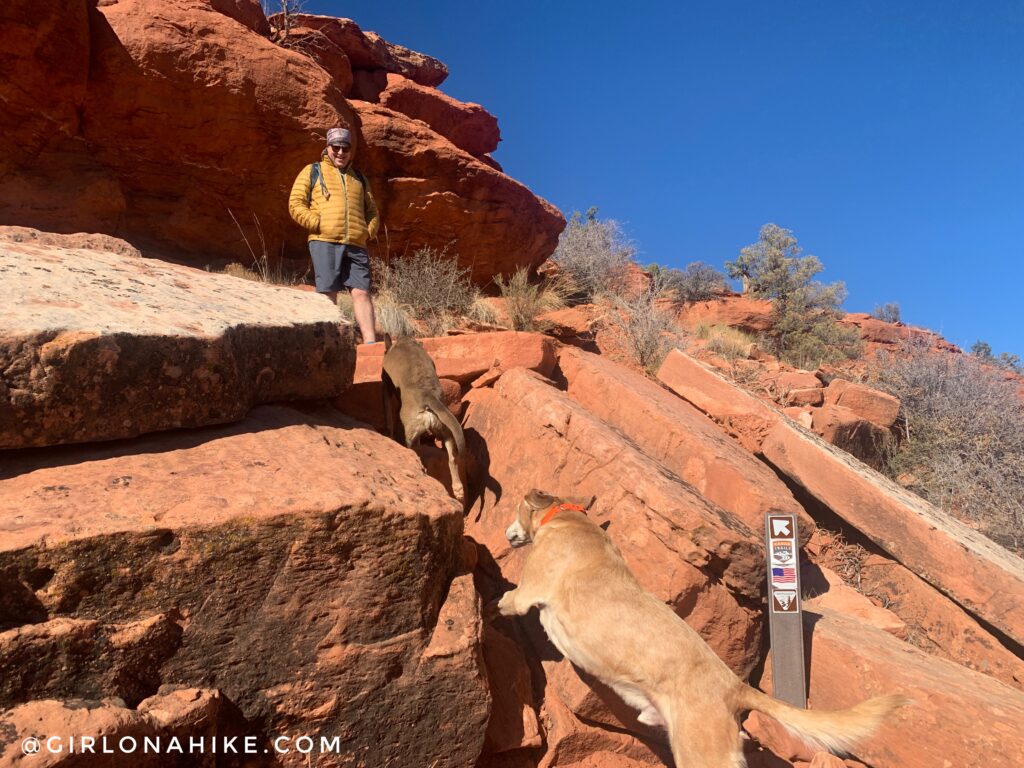
Another sign pointing the way, this time up some stairs. The dogs prefer to jump!
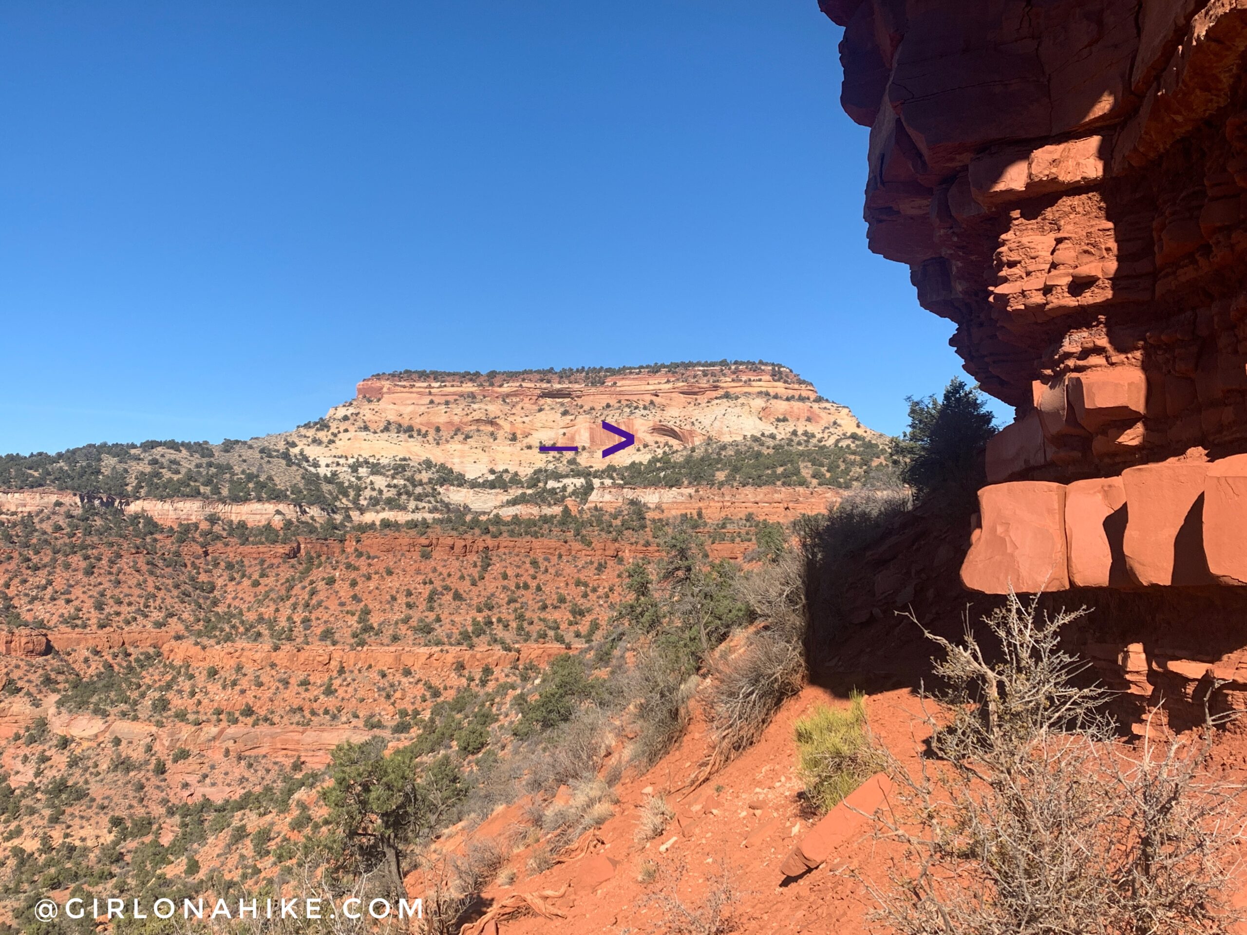
Now on the saddle on top of the mesa, you can see your destination! The large alcove is home to the Mansard panel petroglyphs. From here the trail is pretty flat the next 1/2 mile or so.
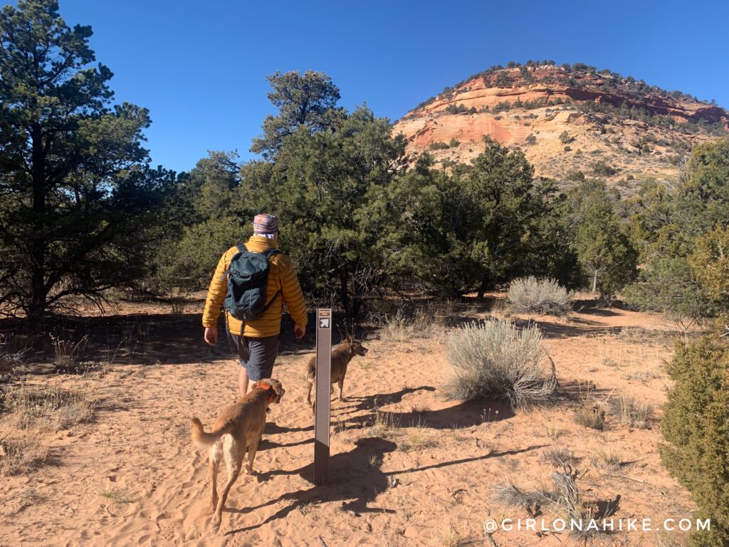
Eventually the trail turns West, and you are very close to the alcove now.
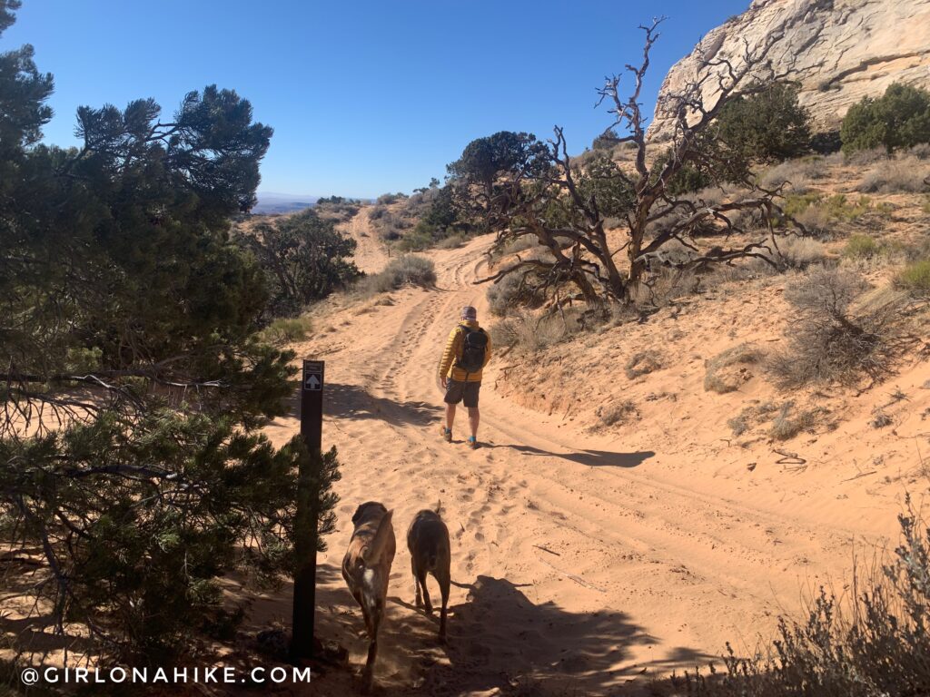
You’ll intersect with an ATV trail, and now the trail is extremely sandy.
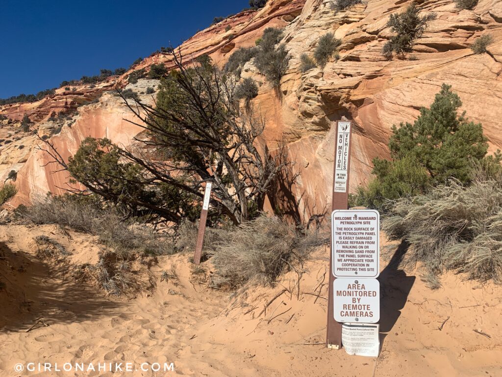
Official signs – follow the rock wall.
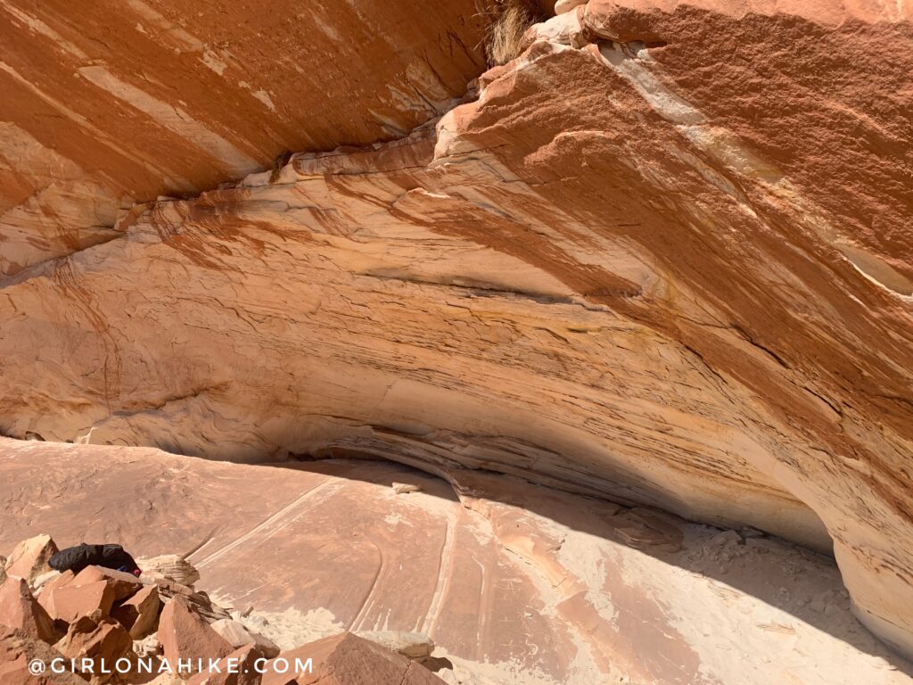
It’s really hard to get a photo of the petroglyphs because the alcove is in direct sun, you can’t make out the carvings. The other interesting thing about the Mansard Panel is that the petroglyphs are on the “floor” of the alcove, rather than the ceiling like most. The best way to see them is to hike here yourself!
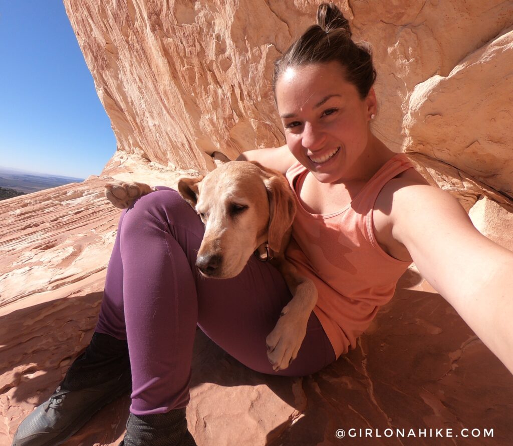
Thanksgiving day and the sun felt SO good! Even with the temps being around 50F, the reflection off the alcove made it feel even warmer. Perfect for a tank top base layer! For me the petroglyphs were the least interesting part about this hike – I just enjoyed hiking in the red rocks, and sitting in the alcove soaking up the sun best!
Check out my YouTube video!
Trail Map
My track via Gaia GPS – the best tracking app! Get your app here for a discount.
Nearby Hike
Hiking Catstair Canyon, Stacked Cars near Lake Powell

Save me on Pinterest!
