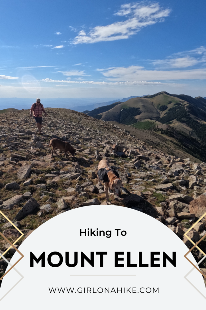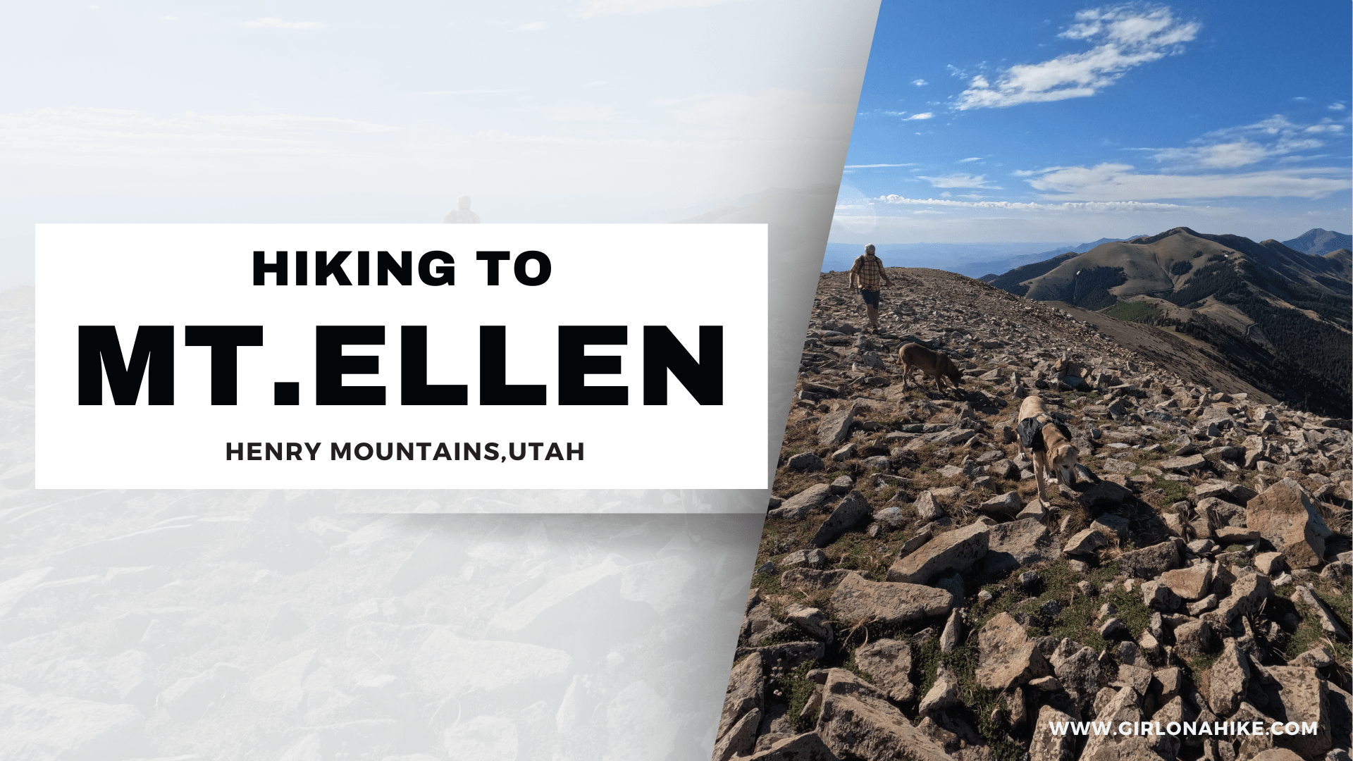

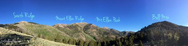
Mount Ellen (11,522 ft) & Mt. Ellen Peak (11,506 ft) are in the Henry Mountains, about 45 minutes – 1 hour south of Hanksville, UT. The Henry Mountains are an island of sort, as they are surrounded by three of Utah’s National Parks – Capital Reef, Arches, and Canyonlands. Mount Ellen is a hulk of a mountain, composed of two distinct parts. The first is the North Ridge, which has the 3 highest summits in the Henry’s.
About
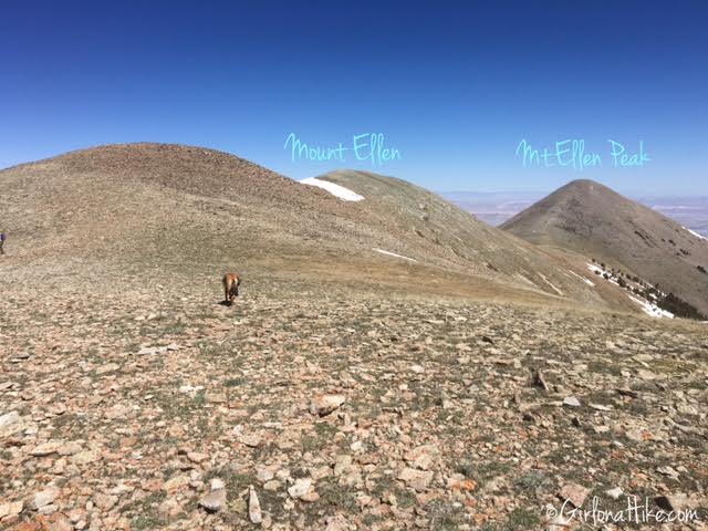
At the far northern end of the ridge is the pyramid-shaped peak which goes by the name Mt.Ellen Peak. At times in the past and during early mapping expeditions, it was used as a campsite where geologists took triangulation measurements by & for the USGS. On top are several old tent platforms. The highest peak, however, is the peak just before Mt. Ellen Peak, called Mount Ellen. The second distinct part is the South Ridge, which includes the mining area known as Bromide Basin. The highest point is what I refer to as South Ridge Peak, and has an old and now-unused solar powered radio tower on top.
The trailhead for Mount Ellen & Mt. Ellen Peak start from Bull Creek Pass – driving up this dirt road is best suited for a high clearance car. We did have one Outback Subaru drive it, but got a flat tire. Our Jeep Wrangler and Toyota Tacoma made it just fine. The road is randomly grated and requires crossing a few creeks.
Since the drive from SLC is about 5 hours, we camped at Wickiup Pass, which is only 2.5 miles from Bull Creek Pass, and has one large camp area with two fire rings. However, there is a campground further down BLM0095 called Lonesome Beaver. Both camping areas are primitive, so you will need to bring your own water. There are no restrooms or fees. Leave no Trace principles apply.
Directions
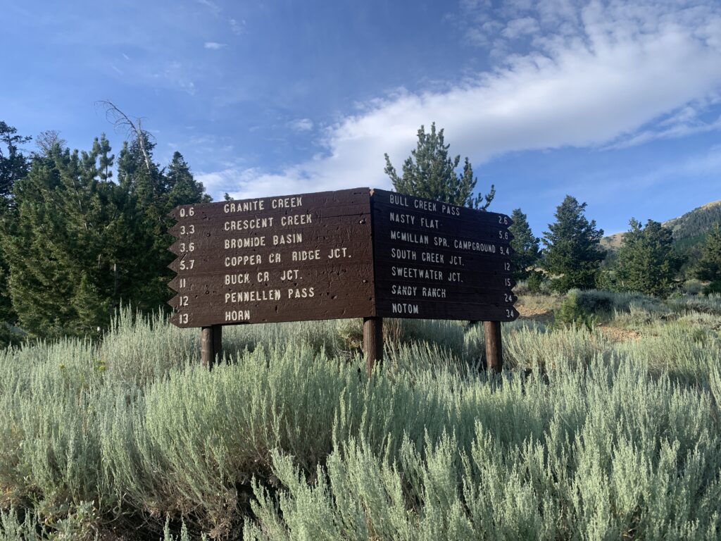
From Hanksville, drive south on HWY 95 for 10.4 miles. Turn right onto the dirt road, BLM0095. Stay on this as it turns into Granite Road. Once you reach Sawmill Basin Road (at the “T) turn left. Follow this road as it again turns into BLM0095, and follow the signs for Bull Creek Pass or to wherever you are going to camp. 4WD & high clearance is absolutely necessary! We had to put the Tacoma into 4WD 2-3 times.
Trail Info
Bull Creek Pass to Mount Ellen & Mt. Ellen Peak
Distance: 5.8 miles RT
Elevation gain: 1,024 ft
Time: 3-5 hours
Dog friendly? Yes, off leash
Kid friendly? Yes, older kids with hiking experience
Bull Creek Pass to South Ridge Peak
Distance: 2 miles RT
Elevation gain: 2,086 ft
Time: 2-3 hours
Dog friendly? Yes, off leash
Kid friendly? Yes, older kids with hiking experience
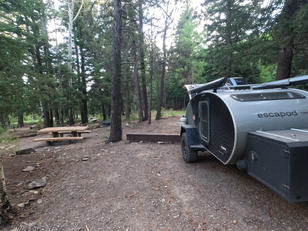
The Lonesome Beaver Campground is very nice with only 5 spots. Small trailers, tents, and hammocks work great here. This trailer is about 12 ft long, and I wouldn’t take a longer one up here because of the tight turns. It’s a “pay what you feel” campground – there is no exact amount the BLM asks for. There is potable water and one port-a-potty, and the creek is on the West side of the CG. The drive from the CG to the pass is about 30 minutes.
View from Wickiup Pass looking North.
The last major split before Bull Creek Pass. Past this point, we had to put the Tacoma into 4WD 2-3 times.
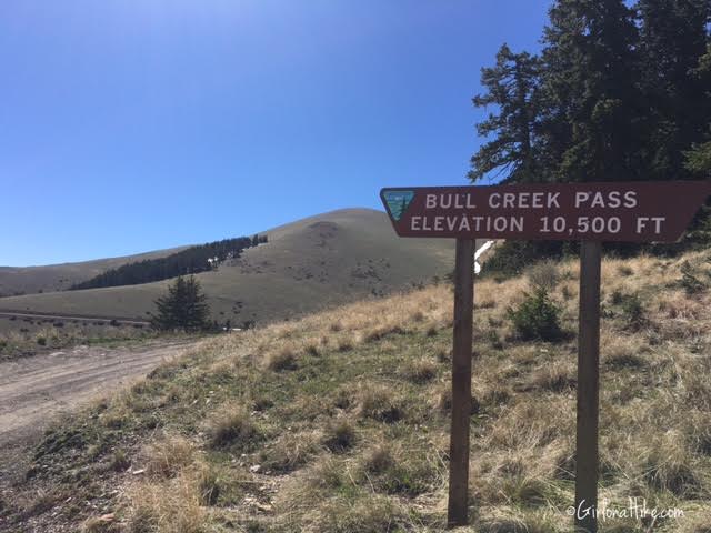
At Bull Creek Pass, looking East. The trail starts to the left (North) of this sign.
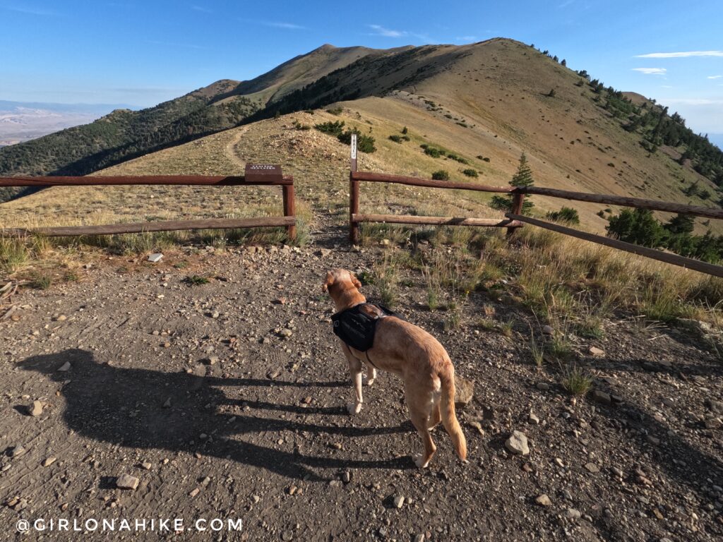
The trailhead begins at pass, and there is only enough parking space for 3-4 cars. Thankfully, it never gets busy.
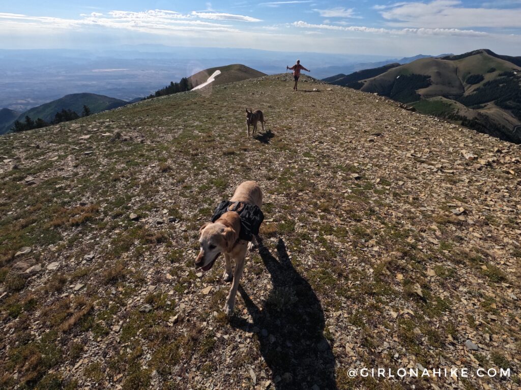
The trail to Mount Ellen is well-defined.
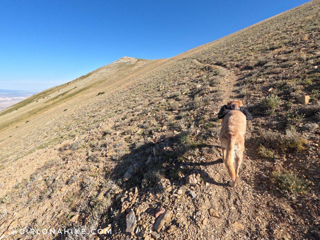
In Charlie’s pack he only carries two 16 oz water bottles.
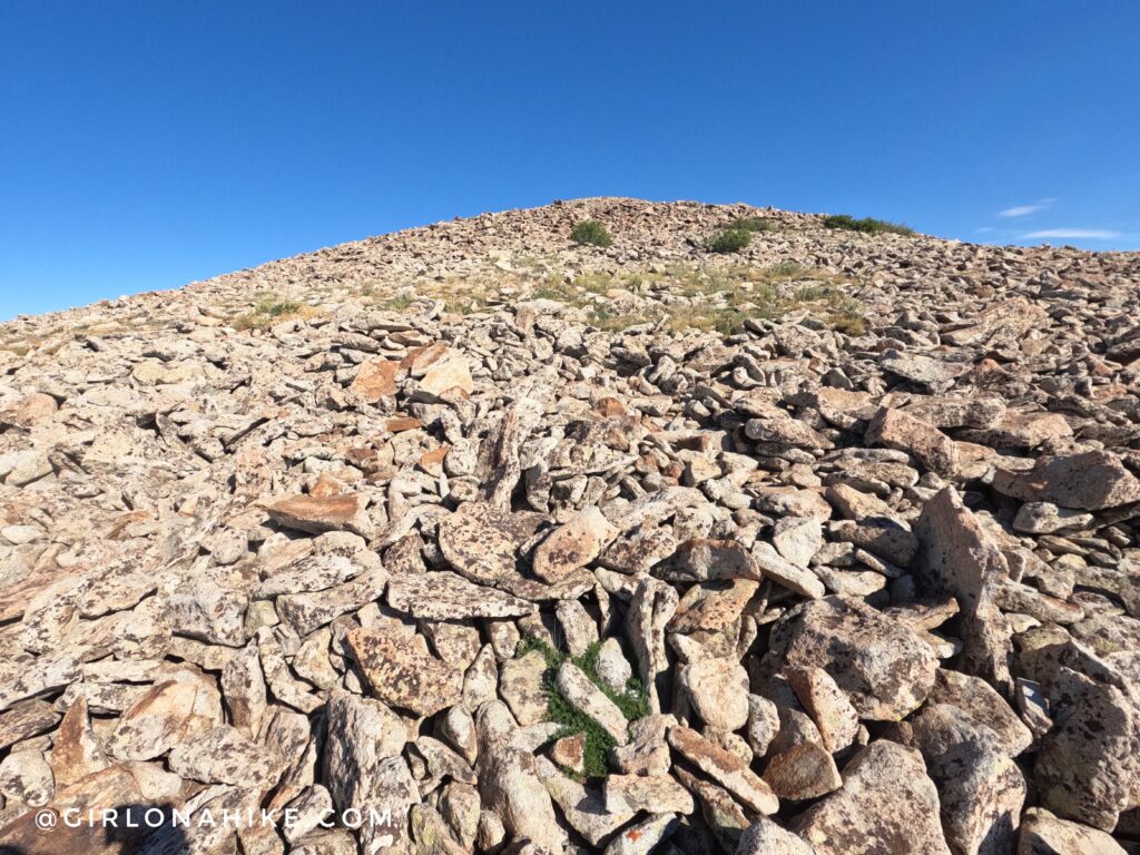
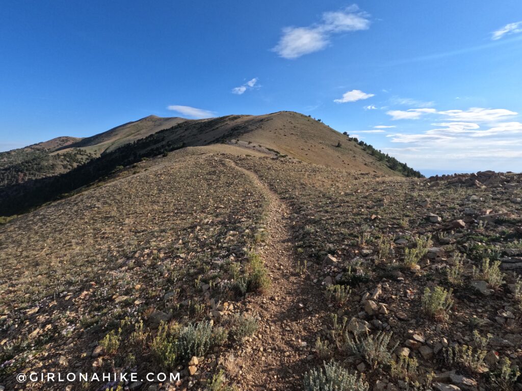
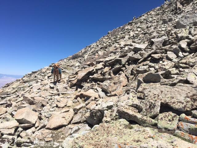
Once on the saddle the trail fades in and out, and you’ll hike through a few boulder fields.
Looking back, South!
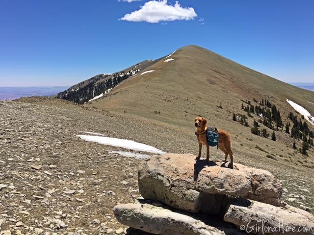
Getting closer to the summit.
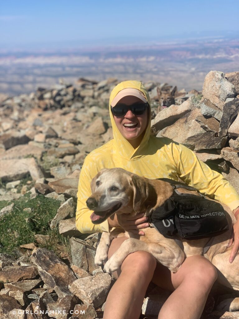
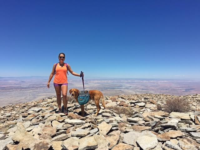
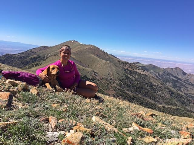
Yay, our 2nd time on Mount Ellen! So glad Charlie is able to do these peaks with me at 11 years old!
2016
In 2016 we also hiked over to Mt. Ellen Peak, which is one more mile one way.
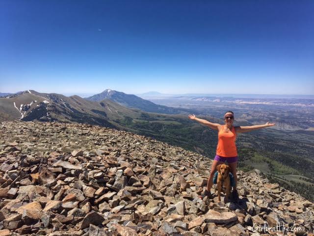
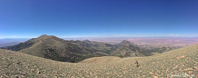
Summit of Mount Ellen! Mt. Pennell and Capital Reef in the distance.
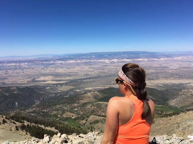
See the white line in the distance? That is Capital Reef National Park and Boulder, UT is almost directly West 37 miles as the crow flies.
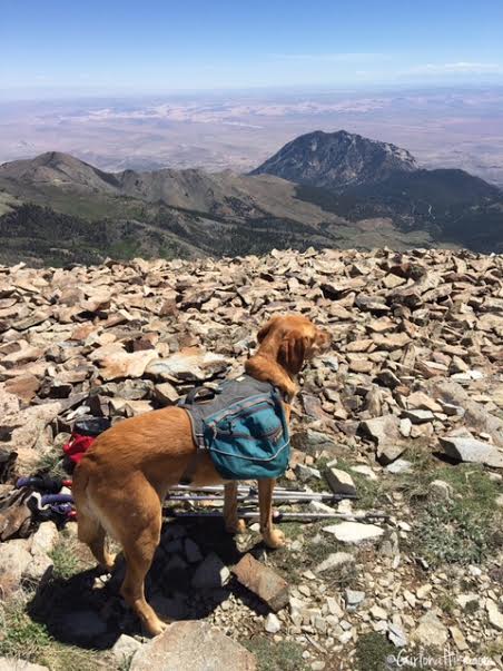
Charlie takes in his view. Bull Mountain is the peak directly above Charlie’s head.
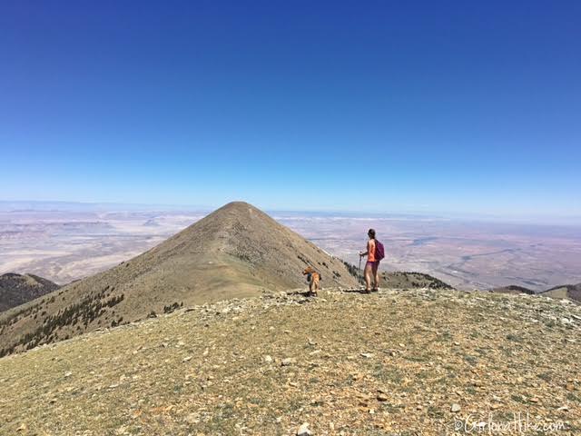
To get to Mt. Ellen Peak, continue along the ridge for another 3/4 mile. The trail drops about 400 ft, then you have to hike back up to the peak. Mt. Ellen Peak is only 14 ft lower in elevation compared to Mount Ellen. It looks close, but it’s deceiving!
Charlie and I make our way up the small switchbacks.
Mt. Ellen Peak!
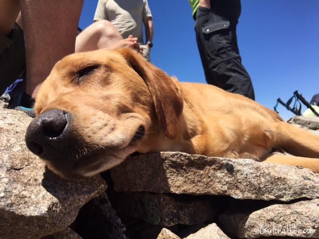
We took a snack and water break on the summit, and Charlie decided to take a nap.
Working our way down and back over to Mount Ellen. To get back to the TH simply retrace your steps to Bull Creek Pass.
Bonus Peak – South Ridge Peak!
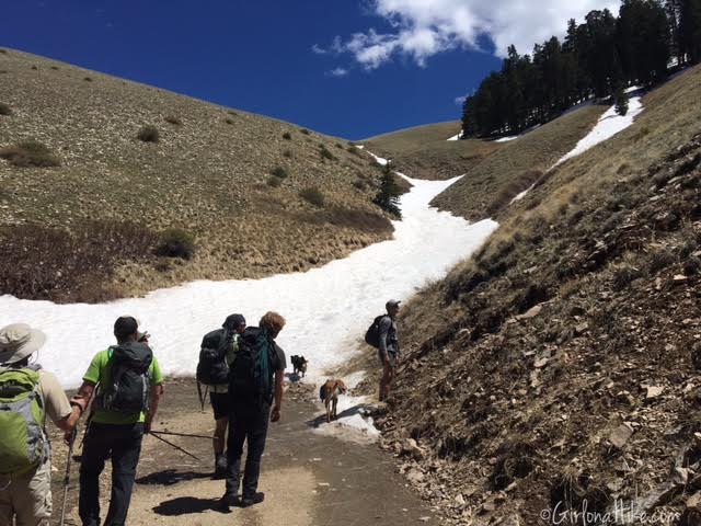
If you have the time and/or energy, I recommend hitting the South Ridge Summit. We walked back down the road, to this gully, and picked what looked like the best route to the ridge. The snow was too soft, and I was afraid I would be post holing this route. Three of us hiked straight up, just to the left of the snow, and the rest of the group hiked up and to the right. Both ways work and are super steep gaining 2,000 ft in just 1 mile to the summit.
Deciding on the best route.
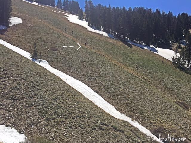
I hiked to the left of the gully, and you can see how small the rest of the group looks across the field.
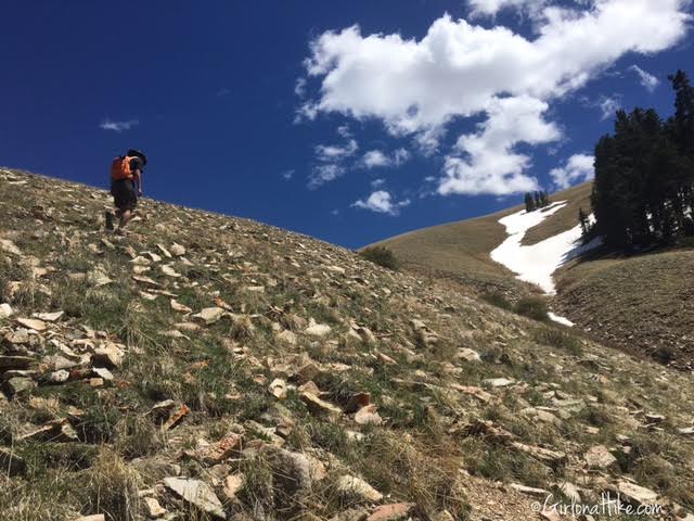
Hiking to the ridge. Super steep!
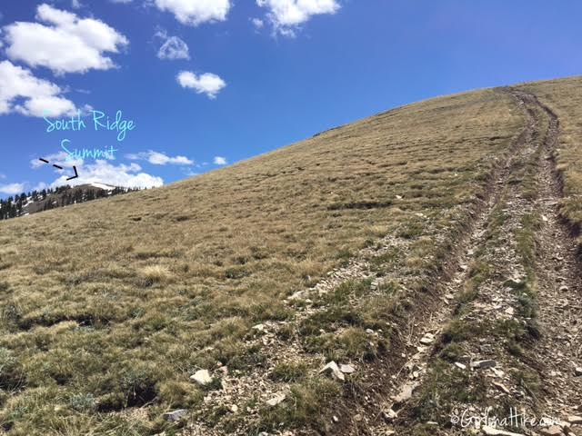
Once on the ridge, you can follow the old ATV road to the summit, which you can see off to the left.
Finally the trail evens out a little.
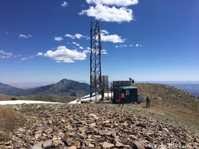
Once on the South Ridge Peak, you will see the old solar-powered radio tower. There were all these little flies or bugs that kept attacking us, so we didn’t stay long.
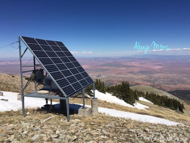
The solar panel with the Abajo Mountains in the distance. The LaSals are off to the left, but hard to see in this photo.
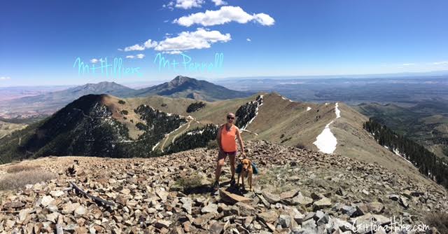
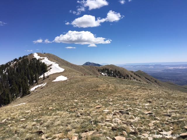
On the South Ridge Summit! Mt. Pennell (which we would be hiking the next day) and Mt. Hilliers off in the distance.
Heading back down, I took a slightly different route since I knew the cars were parked further down the road from where we started hiking. However, I wish I would have went down the way I came up.
Mount Ellen ridge behind us.
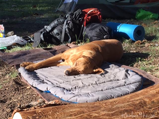
Charlie fell asleep as soon as we got to camp. He did a great job!
Trail Map
My track via Gaia GPS – the best tracking app! Get your app here for a discount.
Also Read

Save me on Pinterest!