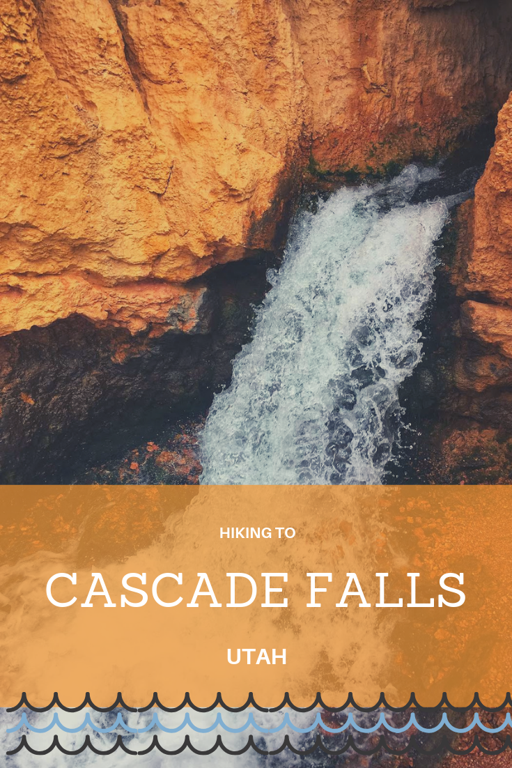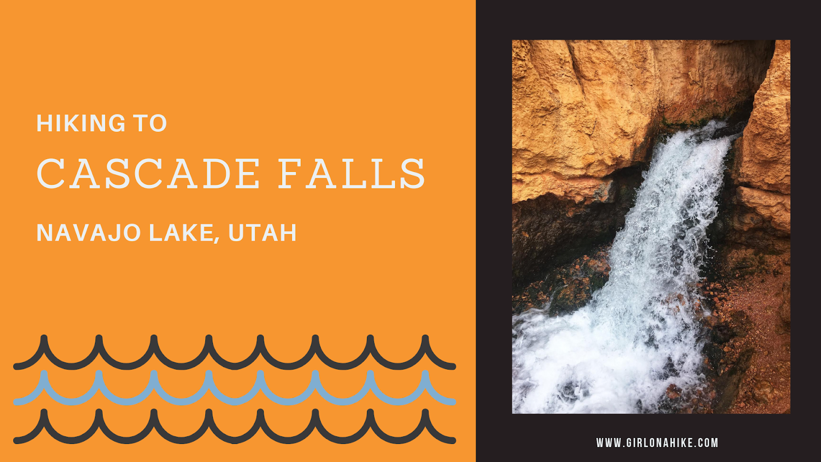

Cascade Falls is located near Navajo Lake, and is in fact, a major drainage port for the lake. The trail offers amazing view of Zion National Park on a clear day, and all ages and all types of hikers plus dogs will enjoy this area. The water from the falls is supplied by the lake through an underground lava tube (sink hole). The water flows through this for a few miles underground before exiting at the Virgin River Rim.
Entering the cave where the water comes out is highly dangerous due to the low levels of oxygen and high water levels, making it difficult to breathe and dangerous to explore.Depending on the level of Navajo Lake, Cascade Falls can range from a small trickle to a raging river. In one day we combined Cascade Falls with Andy Nelson Peak and the Kane County High Point, and Brian Head Peak.
Directions
From Cedar City, UT head East on HWY 14 for 25 miles, then turn right at the signed Navajo Lake. Drive 0.3 miles turn turn left on the dirt road for Cascade Falls. Next, drive 1.1 miles then veer right at the brown sign for the TH. Lastly, drive another 1.6 miles until you reach the end of the road where the trail starts. There is a port-a-potty.
Here’s a driving map.
Trail Info
Distance: 1.2 miles RT
Elevation gain: 142 ft
Time: 1 hour
Dog friendly? Yes, off leash
Kid friendly? Yes, all ages
Fees/Permits? None

By mid-day the parking lot was packed.
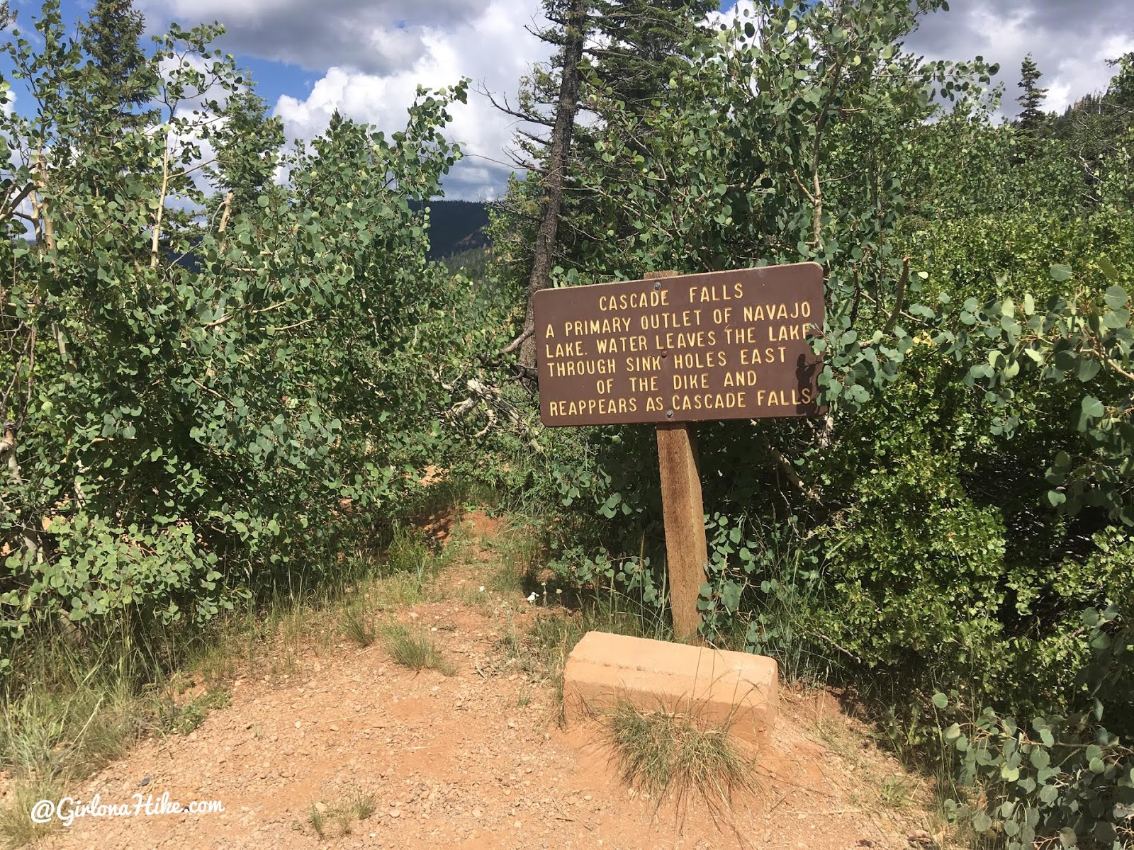
A sign describing the falls.
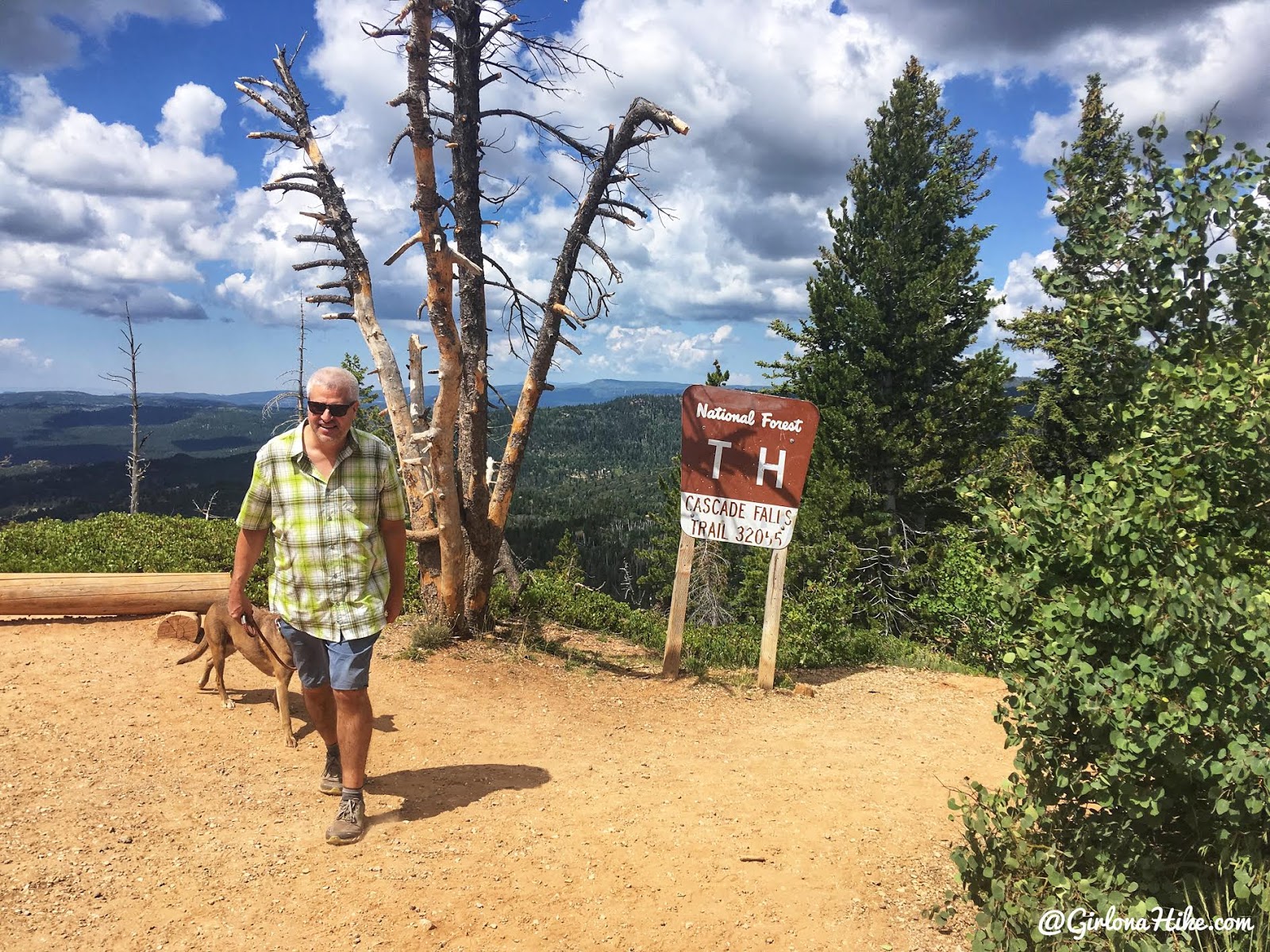
The trail begins in the SW corner of the parking lot.
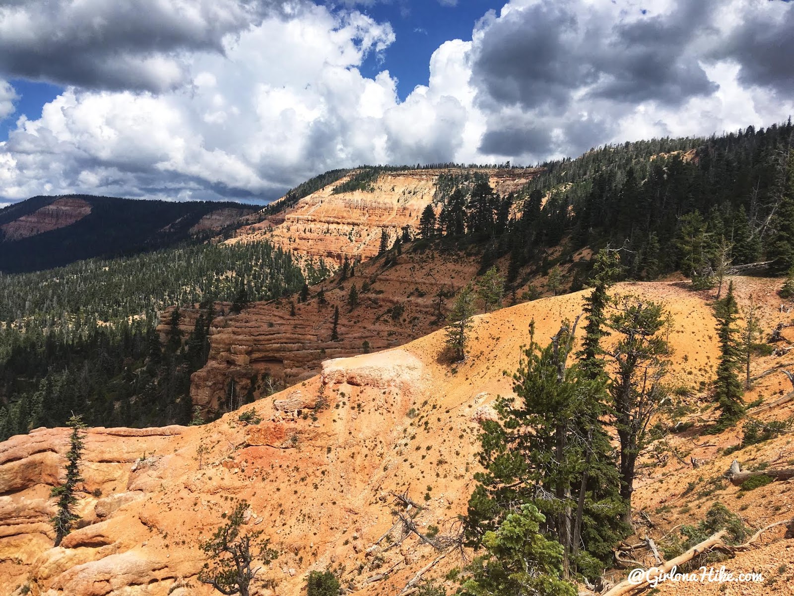
You’ll immediately have amazing views of red rock, similarly found in Red Canyon near Bryce.
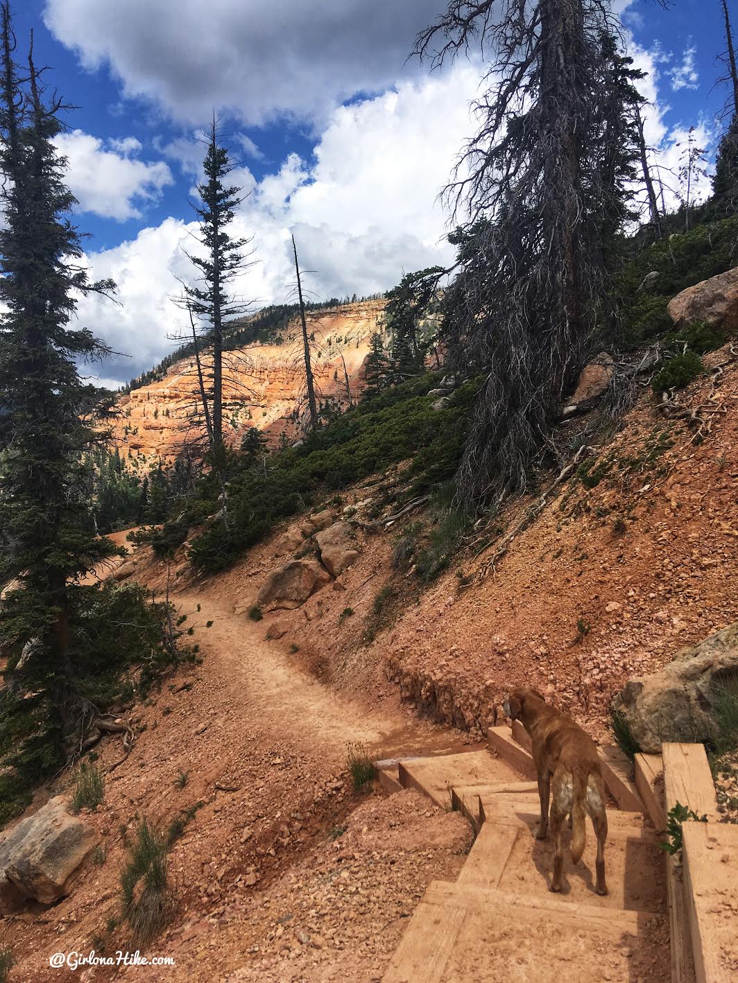
A few steps here and there…
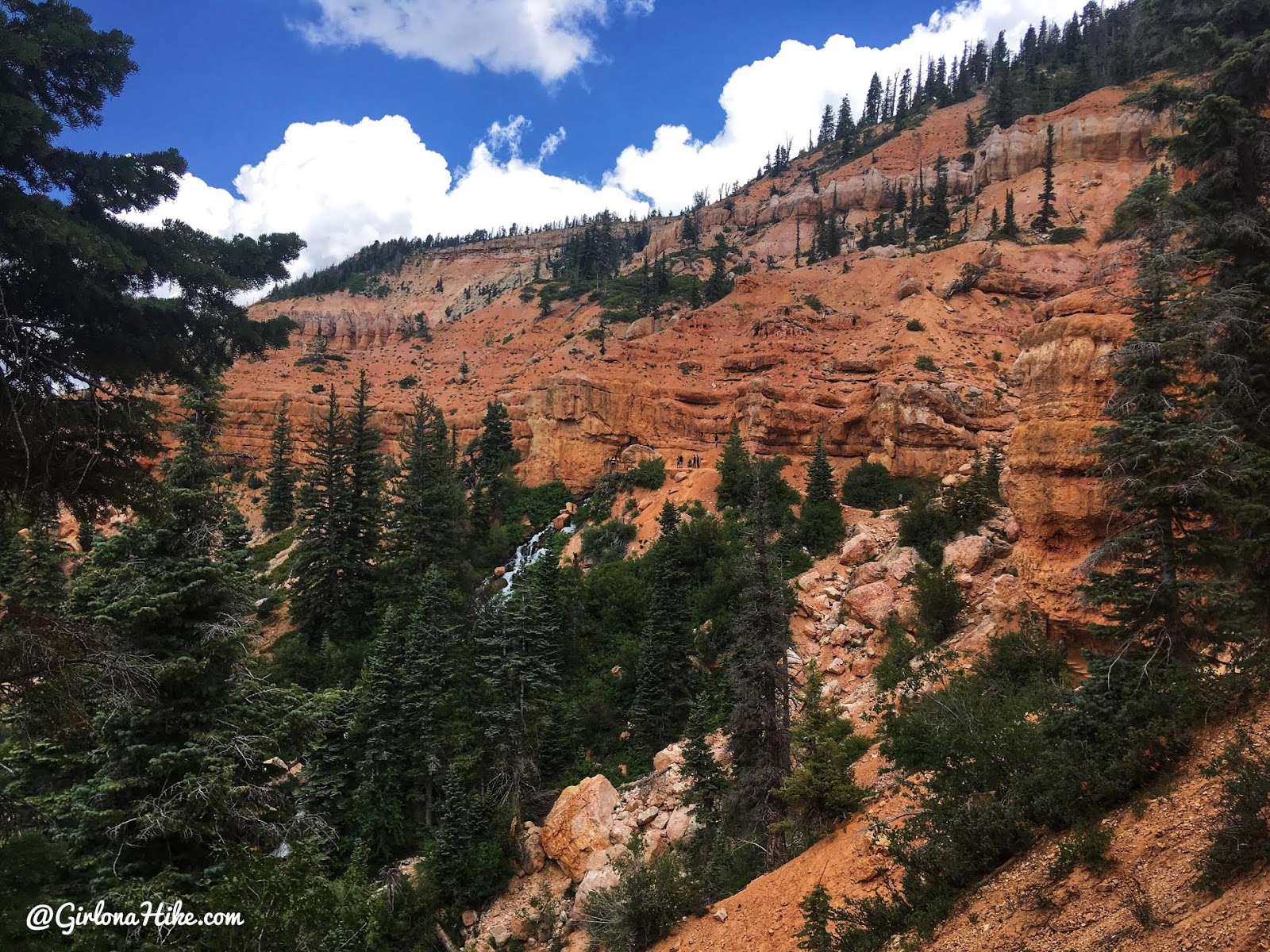
Within 15 minutes of walking you should see the falls in the distance.
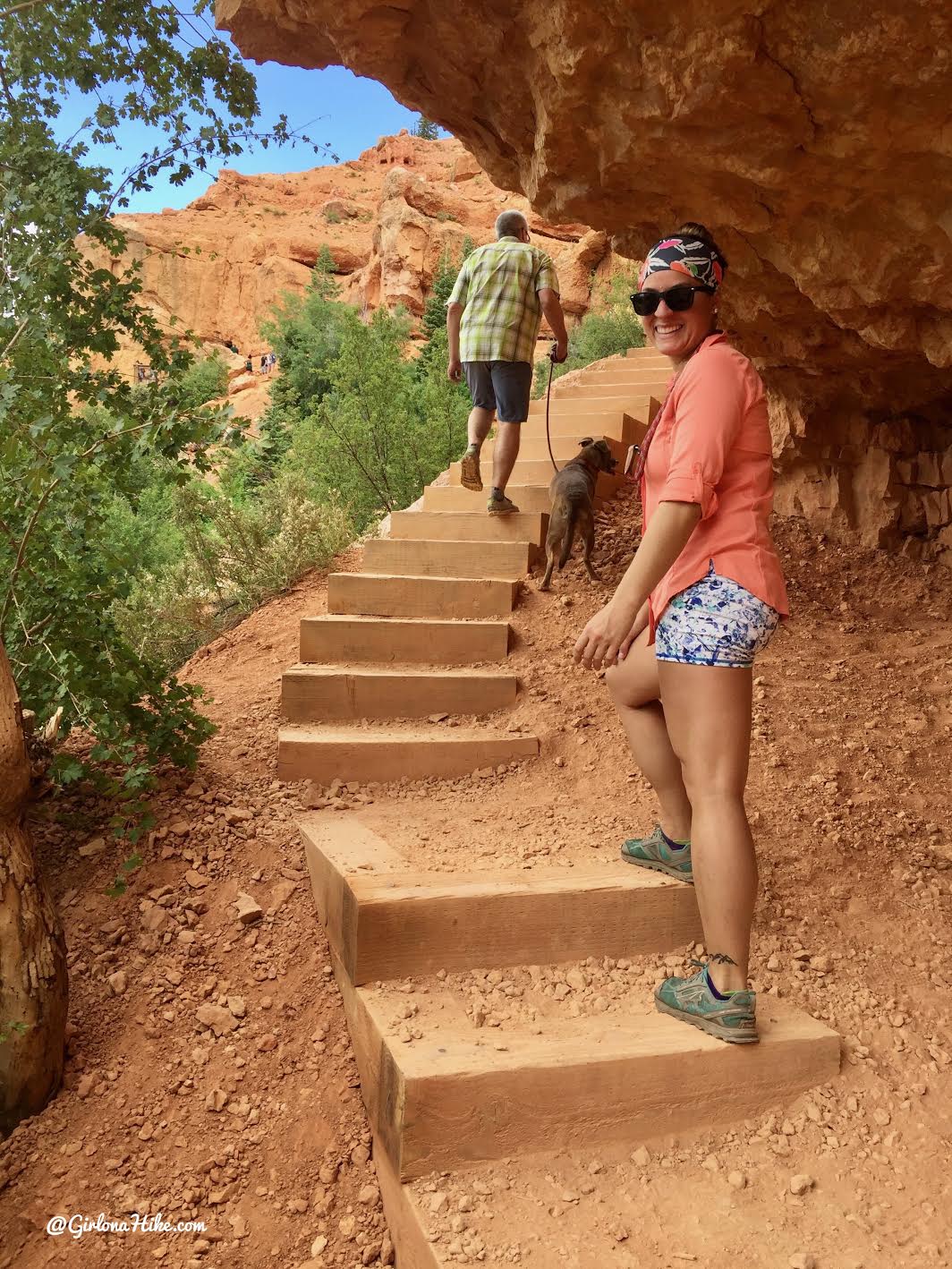
This hike is so short we didn’t carry anything with us.
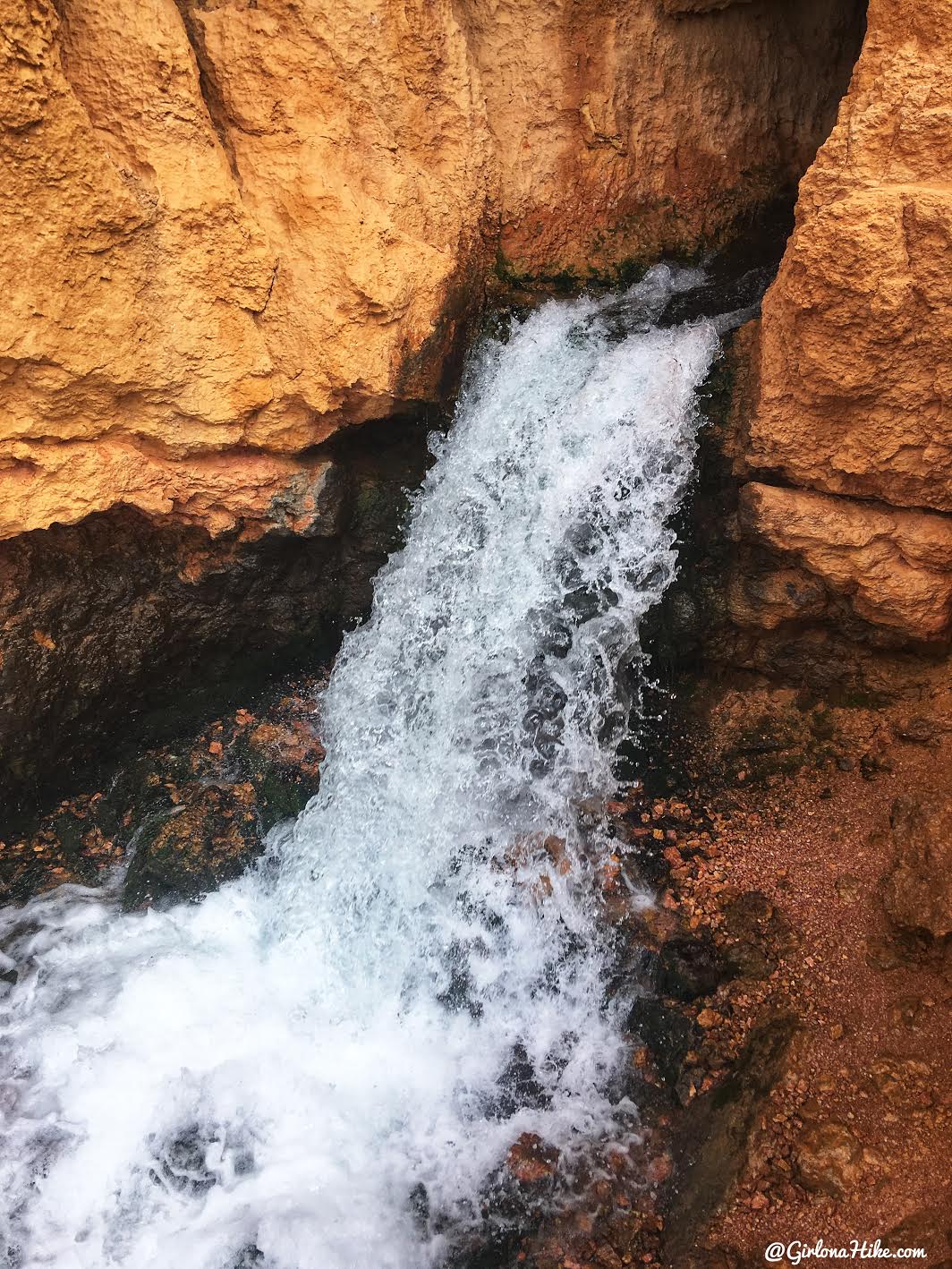
Cascade Falls! It’s a really nice little waterfall, but there’s a small deck to view form them so you can’t really get in the water. I was hoping to get the dogs cooled off, but they would have to wait.
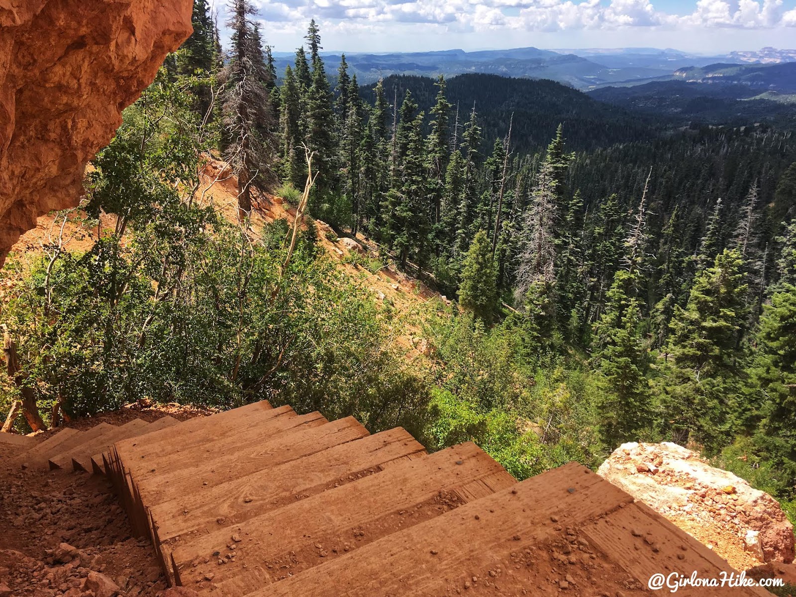
Time to head back!
Trail Map
My track via Gaia GPS – the best tracking app! Get your app here for a discount.
Nearby Hike

Save me on Pinterest!
