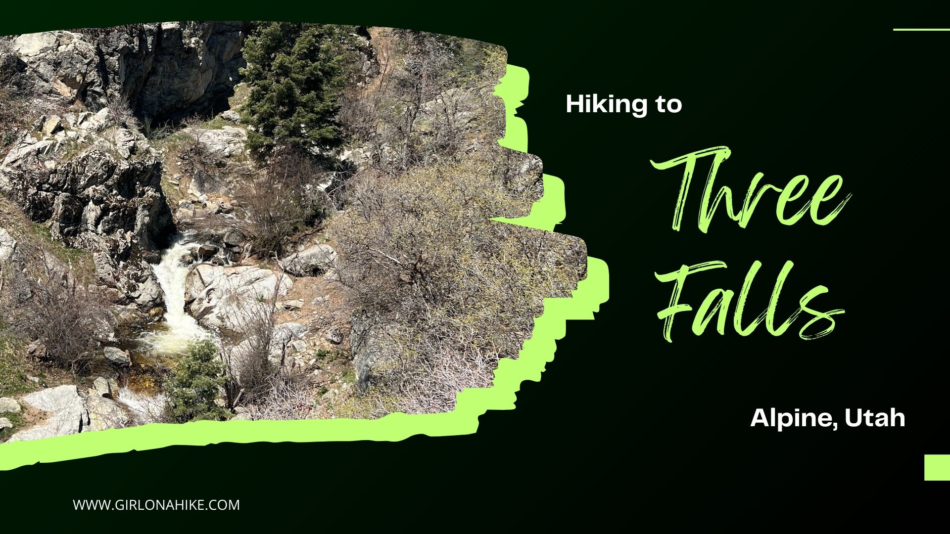

Hiking the Three Falls Trail in Alpine, Utah is a perfect little getaway to see several cascading waterfalls, cross several bridges, and enjoy amazing views of the Wasatch Mountains and Utah Lake.
About
The Three Falls Trail has two starting points: the lower and upper trailheads. The lower trailhead is labeled “Three Falls Ranch Trailhead” on both Gaia GPS and Google Maps. Starting from here adds an extra 2.4 miles (one way) and 650 feet of elevation gain. Unless you’re looking to add more distance to your hike, I recommend skipping this trailhead and continuing one more mile to the upper trailhead. I’ve marked the upper trailhead in the directions linked below.
Hiking to Three Falls from the upper trailhead is a much quicker and easier option—it takes only about 10 minutes to reach the falls. From there, the trail continues on a mellow 3-mile stretch (one way) to the next major trail junction, which is where I decided to turn around. Along the way, you’ll cross several small bridges with fun little pools where kids and dogs can cool off.
This trail has limited shade, so it’s best enjoyed in the spring or fall. I especially loved hiking it in the spring when the water was flowing strong, wildflowers were blooming, and the grass was lush and green. We went on a Sunday morning and encountered only about eight other people (bikers and hikers).
Please note: this is a multi-use trail, so keep an eye out for bikes and be sure to keep dogs and little ones close.
Directions
From SLC, use this location. Make sure to use my dropped pin location for the Upper Trailhead, as the current “Three Falls Trailhead” on Google Maps takes you to another, lower trailhead. These two trailheads are 1 mile apart so make sure you are parking along the road, not in a cul-de-sac paking lot.
Trail Info
Distance: 6 miles RT
Elevation gain: 650 ft
Time: 2-4 hours
Dog friendly? Yes, off leash
Kid friendly? Yes, especially the first mile
Fees/Permits? None

The Upper trailhead for Three Falls begins right along the road, with this wood fencing. There is plenty of parking.

You will immediately hike up a switchback and see more fencing, this time black metal.

You can see the water cascading down if you look over the fence.

Keep hiking up, and the trail will drop down to the first bridge.

Wow, the water was raging and so pretty!

Looking North from the bridge there was a nice, shallow pool of water for the dogs to swim in. It was still chilly in the morning so Charlie wasn’t quite up for it yet. On the way back he was!

Continuing on around the next bend was the second bridge, and several more good areas to wade in.

The trail seemed to backtrack and drop in elevation, but it did lead us the right way. Ahh so nice to see green grass after a long winter!

And at the third bridge was once again another great spot to cool off. Charlie loved it!

Now the trail scenery turned from forest to more arid desert with Sage and some cactus. What a difference one area of hiking can make!

It was really cool to see the large rock band ahead of us. We could even spot a waterfall up high! Unfortunately, you’d have to do some off-trail bushwhacking to reach that one. We crossed two more creek areas but the water level was quite low – i’d expect those to dry up in Summer.

Once we reached the trail split, we decided to take a break, then turn around here. The nice part about this area is you can make this hike as long or short as you want! If you were short on time but still wanted to see Three Falls, I would only hike the first mile and turn around as that is the best part.

On the way back Charlie and I jogged the Three Falls Trail and we had a beautiful view of Box Elder Peak and the Wasatch!
Trail Map
My track via Gaia GPS – the best tracking app! Get your app here for a discount.
Nearby Hike


Save me on Pinterest!