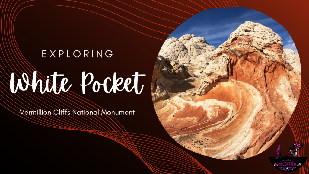
About
Directions
Due to the unmarked roads, deep sandy ruts, and potential for getting stuck/lost, I am not posting directions here. Please reach out to a tour company for the best route to drive here.
Trail Info
Distance: Varies
Elevation gain: ~200 ft
Time: 6-8 hours, including drive time from Kanab, UT
Dog friendly? Yes, off leash
Kid friendly? Yes, all ages
Fees/Permits? None to explore, however if you take a tour you will need to pay for that depending on the tour company
FAQs
When is the best time of year to go?
Spring and late Fall are best due to mild temperatures and dry roads. Summer is monsoon season so there is a risk of getting stuck on a very muddy road, and in Winter the snow covers all the rock formations making photos less appealing and you can’t really see everything.
What tour should I do?
This will vary based on what you want to see. For this blog post and our tour, we did the Full Day White Pocket Tour, however they offer all kinds of full-day tours plus overnight trips.
How should I pack for this?
Pack like you are going on a 6 mile hike. They do provide you a sandwich and one water bottle, but I also brought my own snacks, 2.5 liters of water, sunblock, and I dressed in layers.
Is this a good trip/area for kids and dogs?
Absolutely, both! Since little hiking is required and this is an explore-on-your-own area, this is great for kids of all ages. Dogs are welcome here off leash as well, however I would avoid going in the summer as the sand and slickrock can burn their paws and they have a higher risk of dehydration. Dog poop needs to be packed out. Since we took the tour, we couldn’t bring our dogs.
What if I want to drive myself and not take a tour?
Most people do! Just be prepared with a satellite communicator like a ZOLEO, detailed road map, water, gas, and food. Know how to deflate your tires for the sand, and have the gear to get pulled out if stuck.
Can I camp here?
Yes, this is all on BLM Land so camping is free. Just try to pick a spot that has been previously been used. The best spots are right near the White Pocket “trailhead”.
Let’s get to exploring!

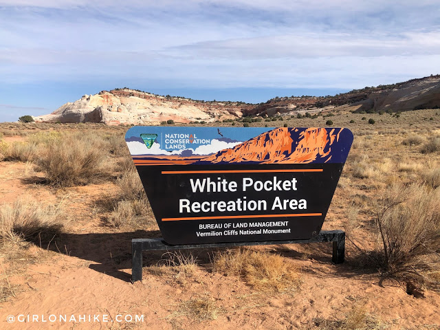
Entering the official White Pocket area!
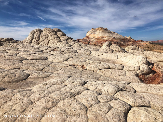
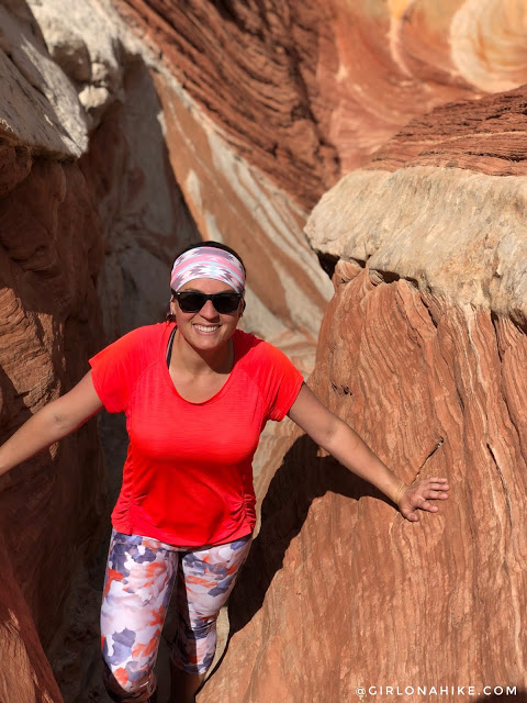
There’s no “trail” here – just explore on your own.
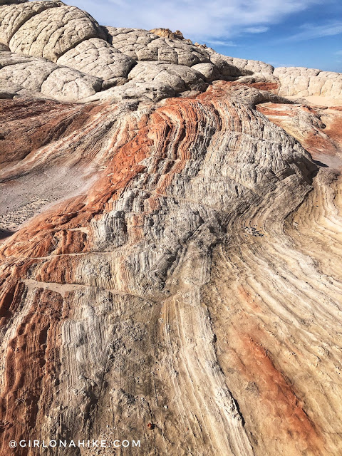
Around every corner is something even prettier.
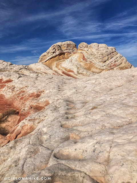
See the indents in the rock? That is from horses consistently going over to a water hole back in the day. On our trip it was completely dry.
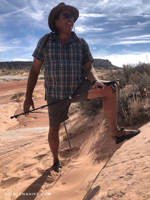
Bret teaches us about the history and geology of the area. He’s been guiding with Dreamland for over 10 years!
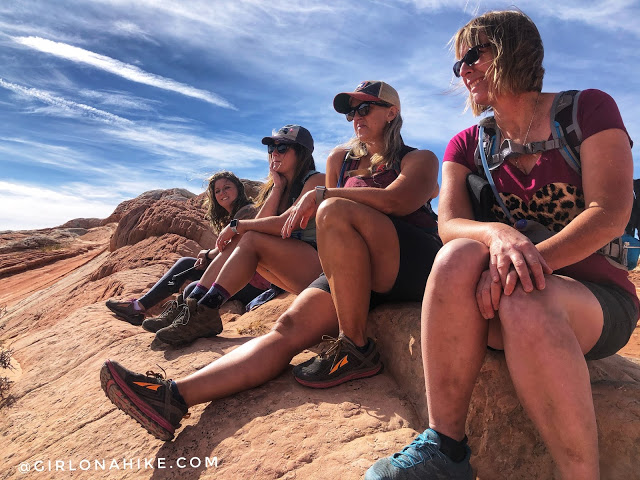
Listening in on Bret’s knowledge.
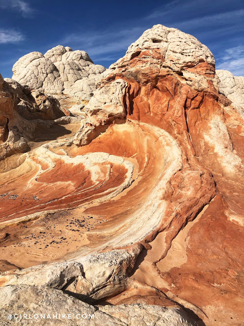
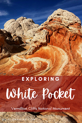
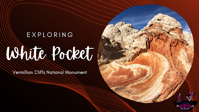
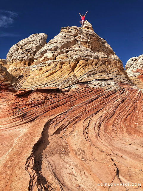
Just wow! So many cool rock formations.
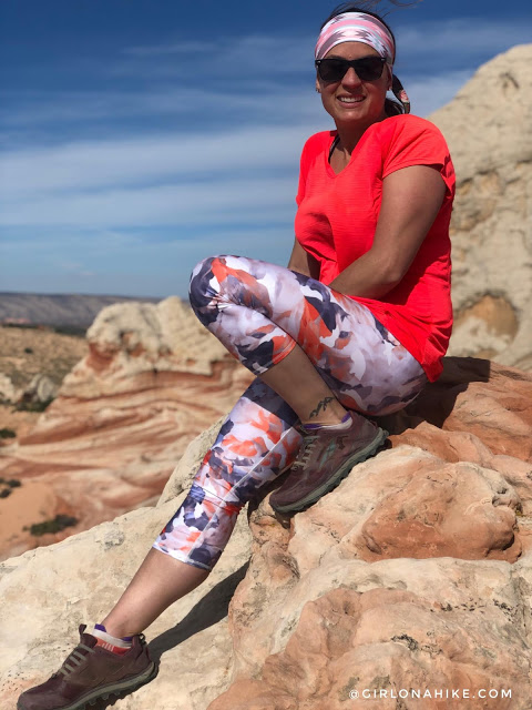
White Pocket is a great spot for many photo opportunities. It’s actually a ver popular spot for astrophotography as well. That’s above my skill level haha!
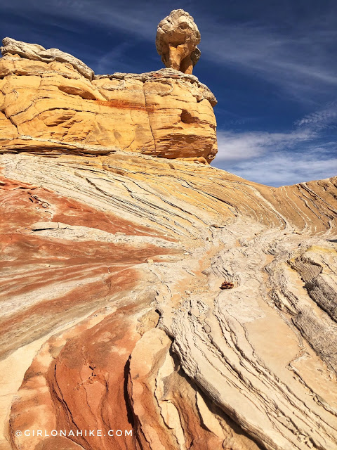
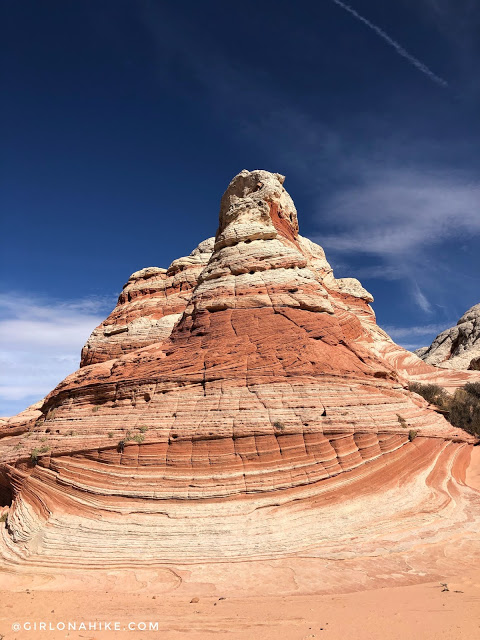
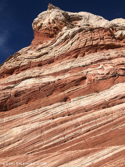
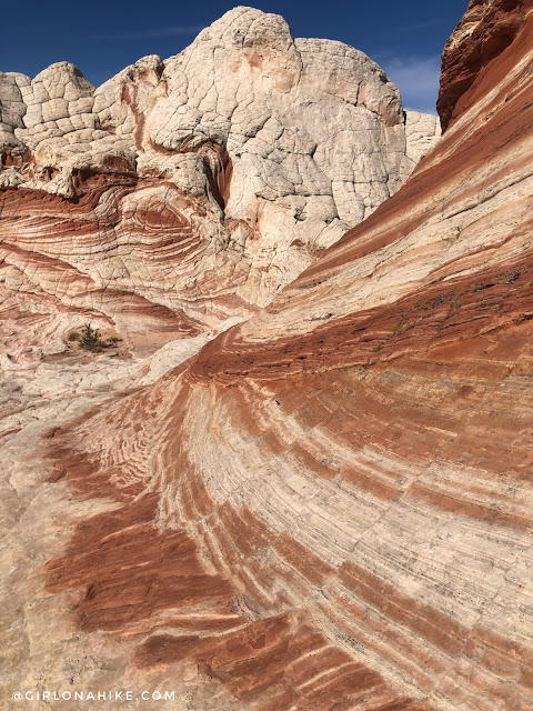
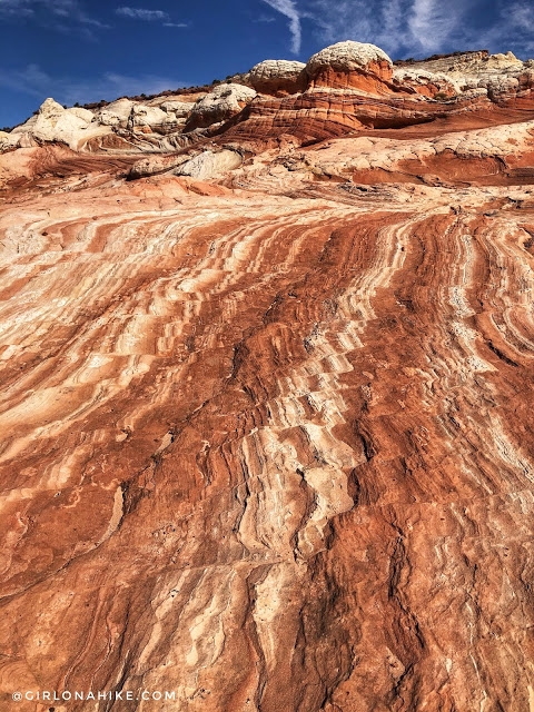
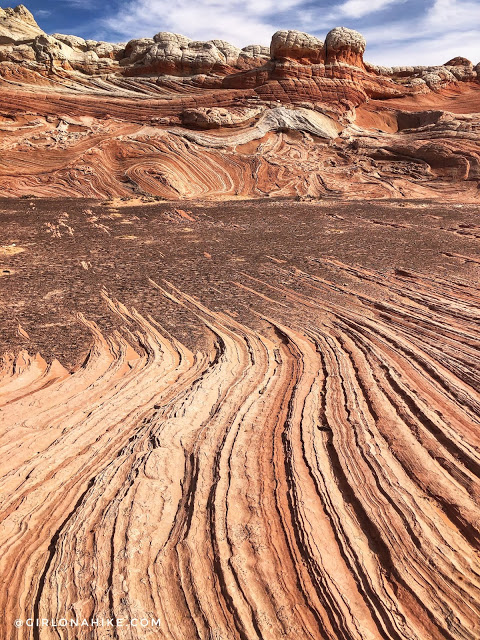
Notice how the stripes aren’t perfectly in line? That represents an earthquake that moved the perfect rock lines millions of years ago.
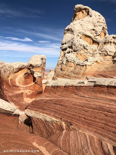
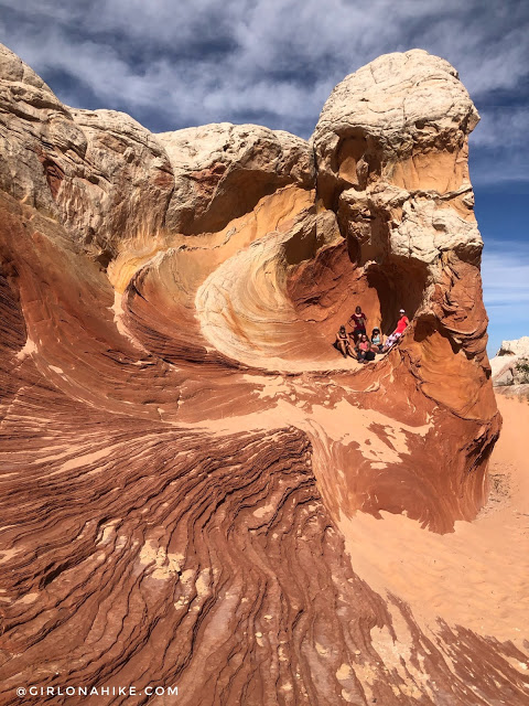
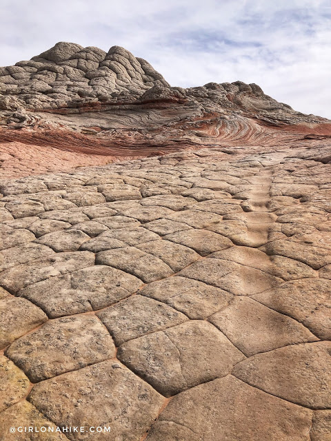
Another area with the horse tread in line.
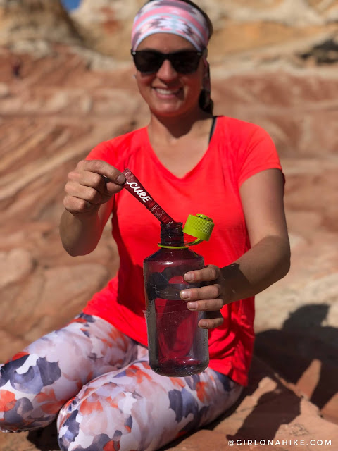
You’ll definitely want to bring along plenty of water. I also always carry electrolytes with me year-round. I love the Cure Hydration brand – it’s the best & smoothest tasting out there IMO. Get 20% off your order using my code, “GirlonaHike” here.
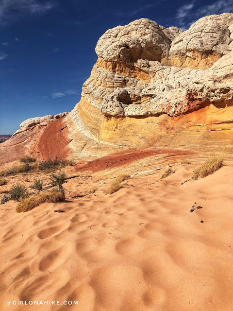
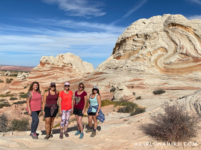
What a great group of badass women to do this tour with!
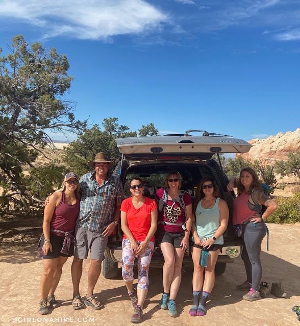
Huge shoutout to Bret and putting up with our girl talk, answering tons of questions, and for showing us around!
Check out my video!
Nearby Hike
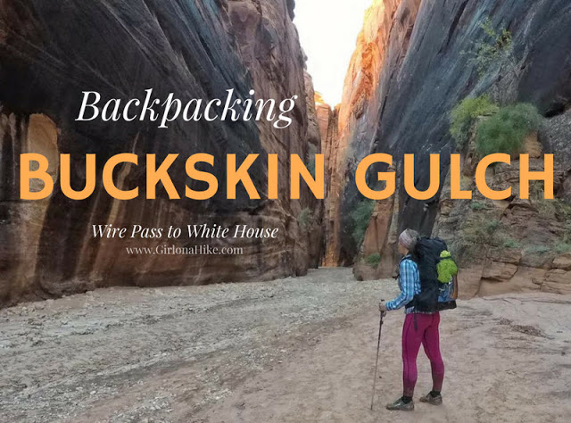
Backpacking Buckskin Gulch – Wire Pass to White House

Save me on Pinterest!
