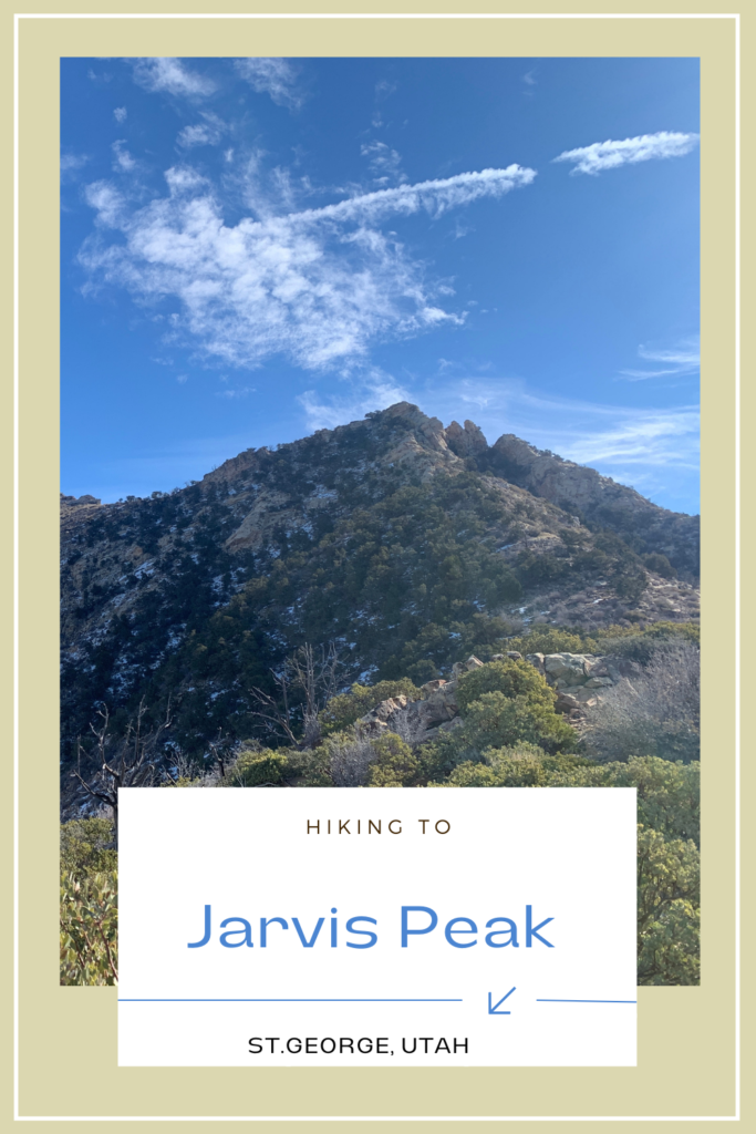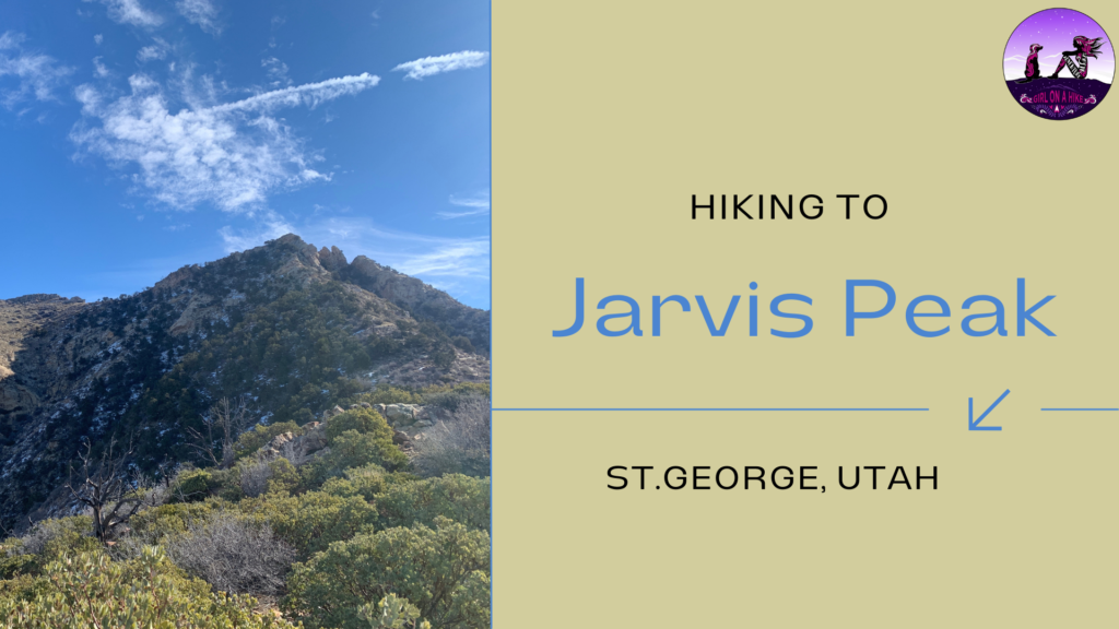
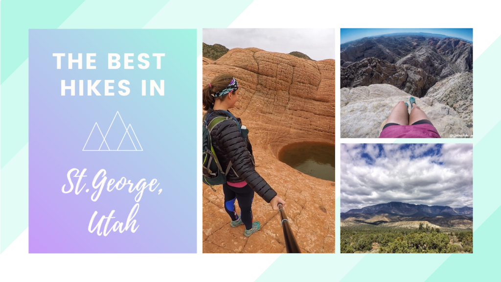
Jarvis Peak (6,529 ft) is located just outside of St.George, Utah in the Beaver Dam Mountains. It’s not the highest peak in the area, but what it lacks in elevation, it makes up for in other ways. Jarvis Peak can be seen from all around St.George, so you’ve probably looked at it but didn’t realize it had a name and trail.
About
First thing to note is that you need at least and SUV or larger to drive up the dirt road. If you don’t have a bigger car, I would park along the highway. This will add on an additional 1.3 miles one way, making it 5.2 miles RT instead of only 3 miles RT. 4WD isn’t necessary for the first 1.3 miles.
Next, plan on hiking in a remote area. While I did have cell service most of the time (AT&T), don’t rely on that to save you if something happens. I didn’t see a single person in the area all day! Have something like a Zoleo satellite communicator or Garmin in your pack for emergencies, even if something happens to your car.
The trail itself is pretty easy to follow – just stay on the ridge. The last 1/4 mile does require some light scrambling, so you should be comfortable navigating off trail and finding your way to the summit.
The best time of year to hike this is typically early Spring and late Fall when the temperatures are below 70F, and the trail is dry.
Directions
From St.George, its about a 30 minute drive. Follow Google Maps until you reach the turn off for the dirt road here. Once you turn off, reset your odometer and drive 1.3 miles to the first U turn and park off to the left.
Trail Info
Distance: 3 miles RT
Elevation gain: 1,248 ft
Time: 2-3 hours
Dog friendly? Yes, off leash
Kid friendly? No
Fees/Permits? None
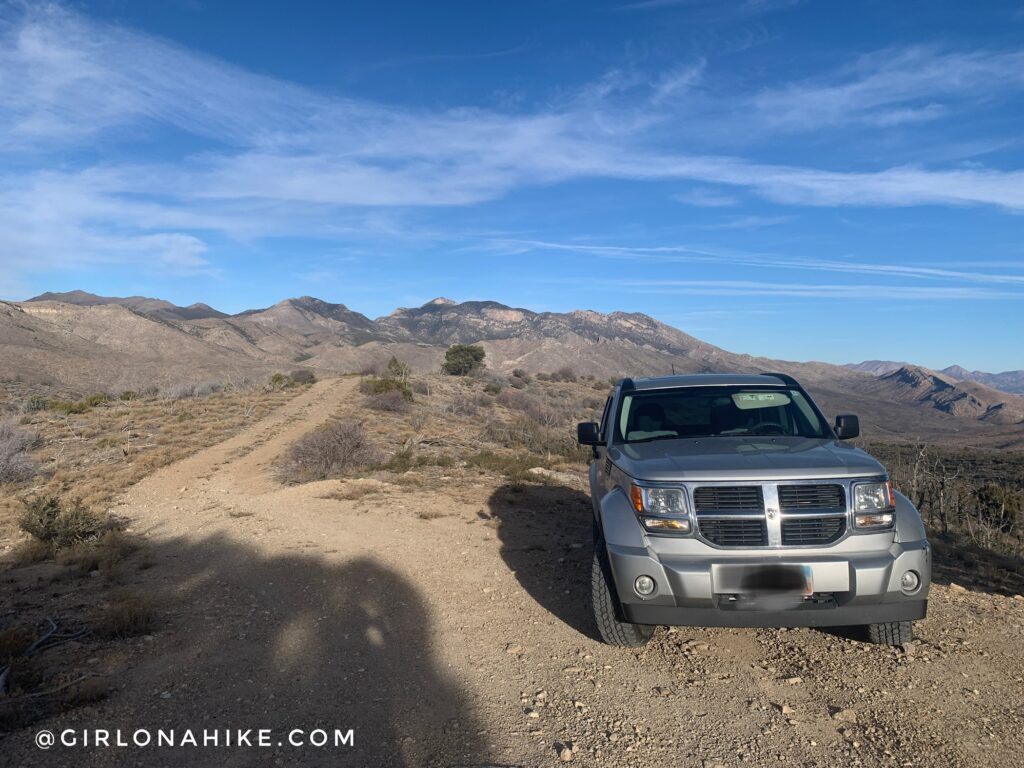
Drive 1.3 miles until you get to the first big U turn, and park off to the left. You will see this other road as well. Past this point you definitely need high clearance and 4WD.
What the road looks like just past the first U turn. It’s hard to tell in the photo but the road is very slanted and to get over those rocks you need at a Jeep or 4Runner.
Just past the 3rd big U turn in the road, there is another parking spot for 2 cars on the right side, and just past that you will see the trail start off to the left.
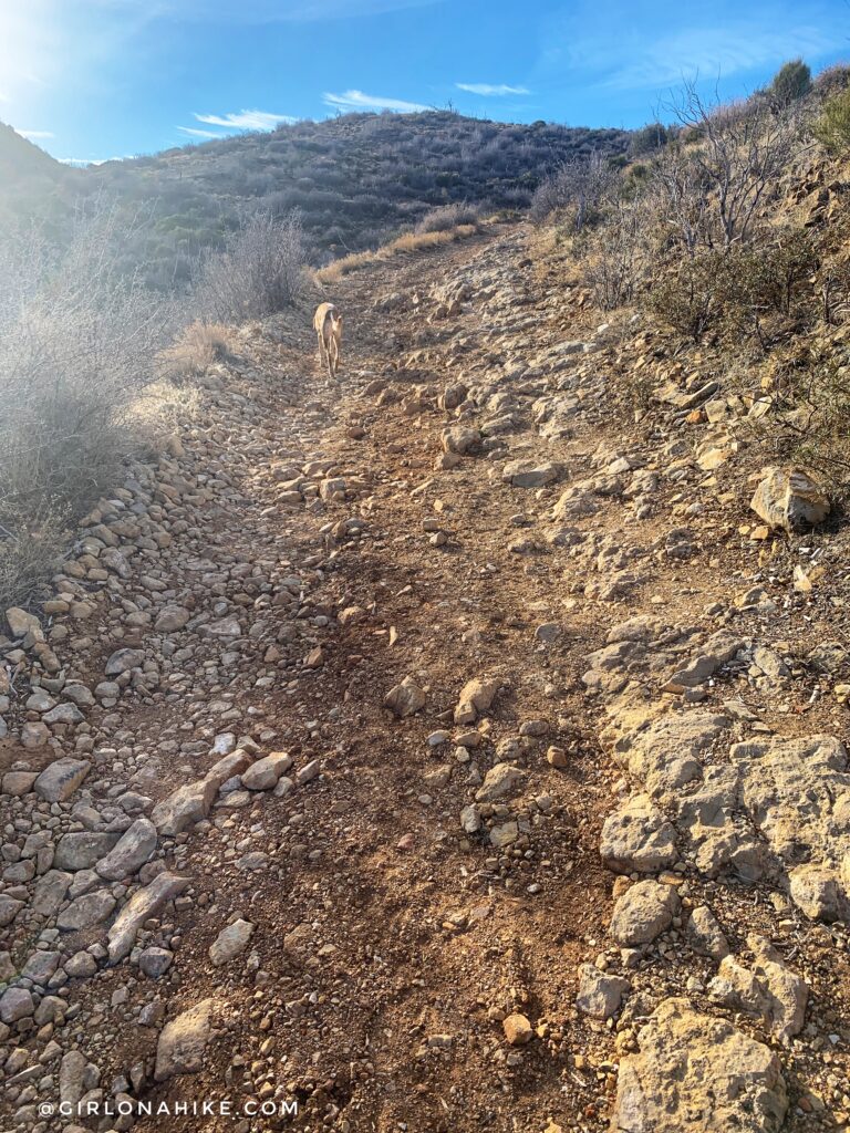
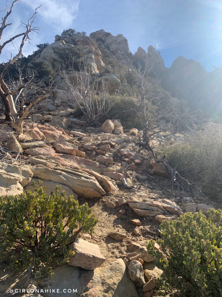
The trail is very faint and comes and goes in sections of the hike. The first 1/4 mile is the steepest.
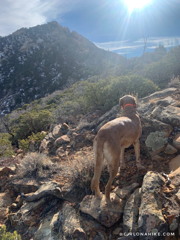
When in doubt, stay on the ridge.
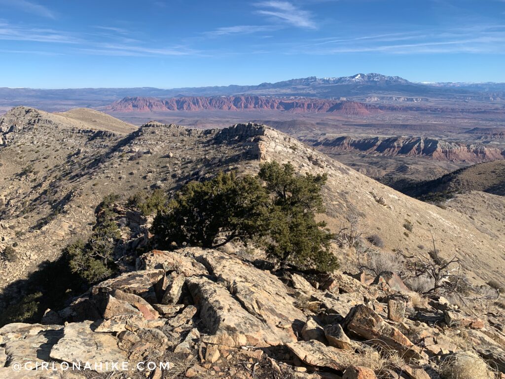
Wow the views up here are awesome! I debated on taking the south ridge down from my ascent, as I could see that mining road across the way, and wanted to create a loop. However, when I was on Jarvis Peak, I couldn’t find a safe way down with Charlie. Without a dog I think it would be doable, you just need to be comfortable with steep scrambling.
PS have you checked out the outdoor Rock Porch app yet? I post all my exact gear on there! You can check out my Hiking Essentials right here!
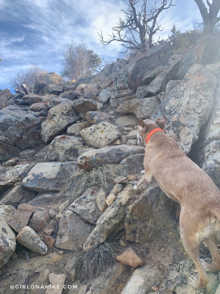
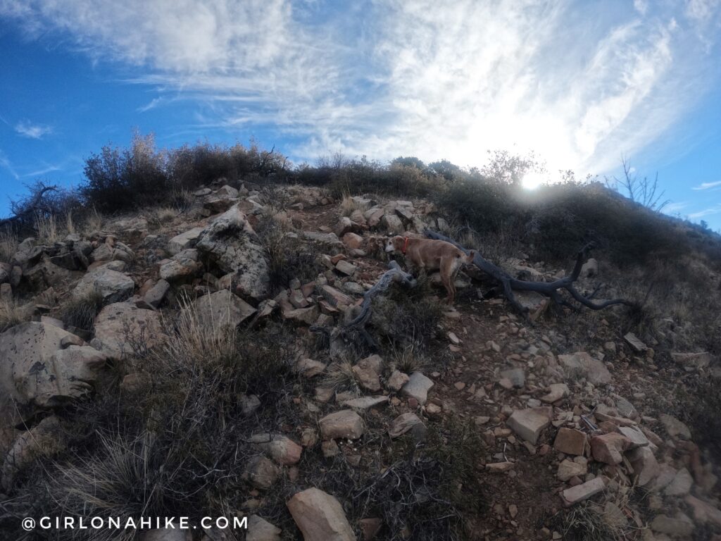
The last 1/4 mile is challenging in that light scrambling is required. Charlie needed a boost a few times, but could do most of it himself. Check out those flying ears!
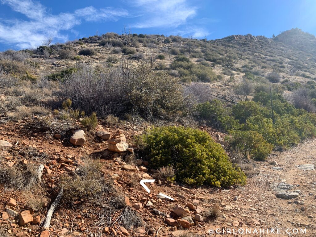
Sometimes it seems like a better route goes off to the sides, however, the “trail” fades out. Return and stay on the ridge. Keep an eye out for cairns, and scramble up what feels comfortable for you.
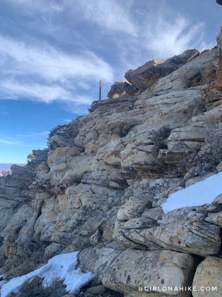
Just before you hit the top ridge, you should see this wood pole. Now you know you are on the right track! Climb up this final section.
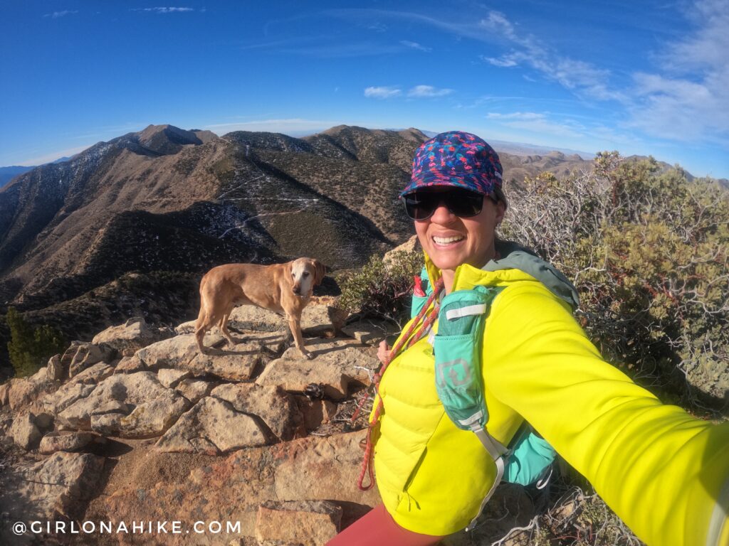
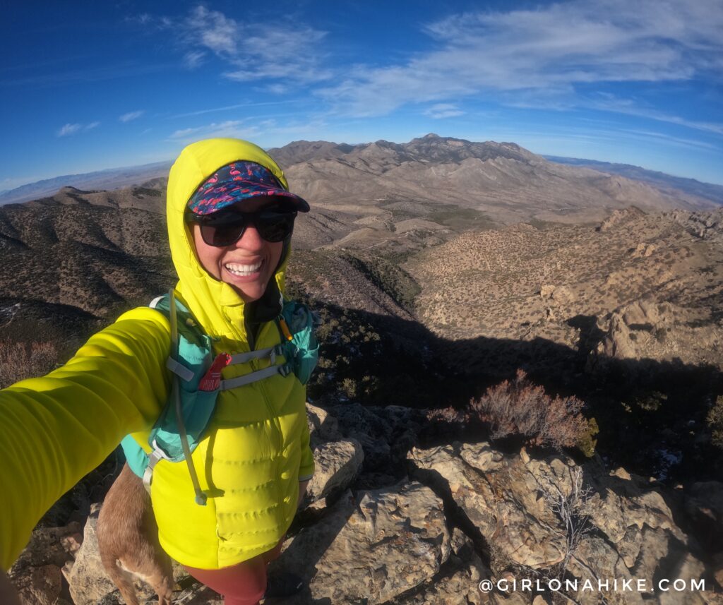
Woot woot on the summit of Jarvis Peak looking North to Signal Peak.
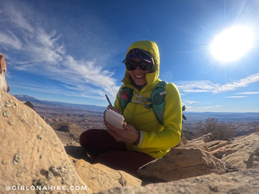
Gotta make it official and sign the summit register!
What a great hike! I was very surprised by it. I loved it because I didn’t see any people, Charlie could roam off leash, its not too far from St.George, the views were amazing, and it was just enough scrambling to feel like a challenge.
The peak in the distance is West Mountain Peak. In summer months you can drive to it (with 4WD, of course). I attempted to drive to it right after Jarvis Peak, however, there was too much snow and ice in the shaded sections so I’ll have to go back!
Check out my video!
Trail Map
My track via Gaia GPS – the best tracking app! Get your app here for a discount.
Recommended Hikes

Save me on Pinterest!