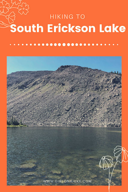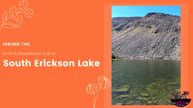
South Erickson Lake is a lake in the High Uintas Wilderness and can actually be accessed from two different trailheads.
About
The first being from the Shingle Creek Trail off Mirror Lake Highway, and what this blog post will describe, from the Ledgefork TH at Smith & Moorehouse Reservoir. This route is 5.5 miles one way and can be hiked/ran in a few hours, or if you want a more relaxing weekend backpacked overnight. The trail only gains close to 900 feet over the first 3 miles, then when you turn at the trail split for North & South Erickson Lakes you will gain another 1500 ft in just 2.5 miles. The second half of the trail is rocky but full of wildflowers in July! This is a great trail for dogs off leash, and older kids who can carry their own backpack.
You may wonder, “what is the difference between the two trails? Which is better?” Shingle creek is longer at 7 miles one way but roughly the same elevation gain. Shingle Creek also has more people since the TH is right off the Mirror Lake Highway. This route via the Ledgefork TH sees less people, and is 1.5 miles shorter. I feel like this route also has better views only because of the fire from 2016 so you can see a lot more. Shingle Creek is very forested, so not many views. It really just depends what you are in the mood for!
Directions
From SLC, head East on I-80, then south on HWY 40. Take exit 4 and turn left towards Kamas, UT. Drive about 2 miles, then turn left on Brown’s Canyon Road. When you reach HWY 32, turn right thought Peoa, UT. Turn left at the Road Island Diner along HWY 32 (they have great milkshakes!). Drive 11.2 miles and turn right at the sign for Smith & Moorehouse. Follow this road all the way to the end, turning at the signs for “trailhead”. The trail begins at the Ledgefork TH. Here is a driving map.
Trail Info
Distance: 11 miles RT
Elevation gain: 2,300 ft
Time: 2-4 hours one way
Dog friendly? Yes, off leash
Kid friendly? No
Fees/Permits? None
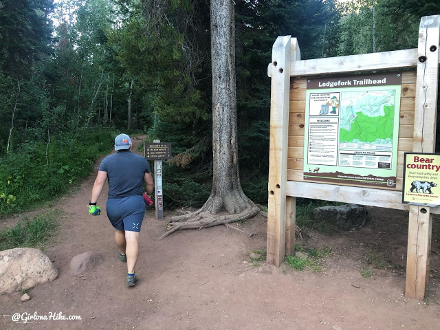
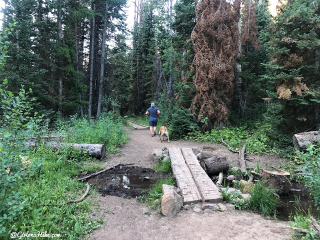
The trail begins at the Ledgefork TH, at the end of the campground. The sign says South Erickson Lake is 5 miles which is mostly correct – we both tracked 5.5 miles one way.
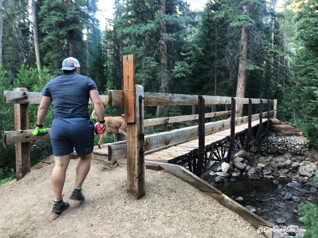
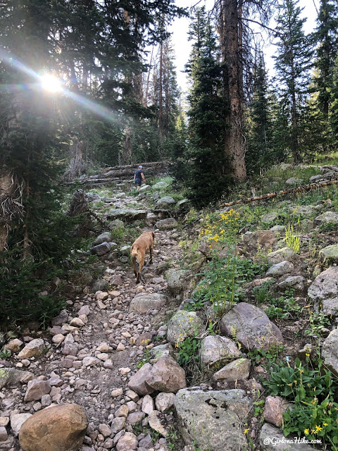
Cross the bridge and the trail immediately gains elevation for the first 10 minutes.

Pass the horse gate.
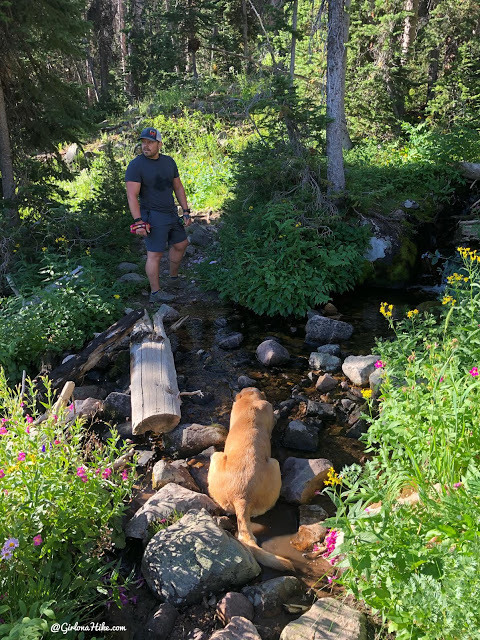
Cross another smaller bridge. This is the next water stop for dogs to drink from.
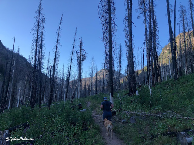
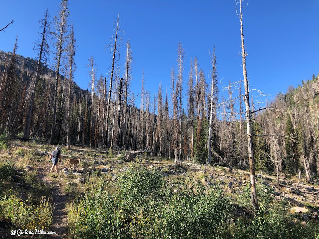
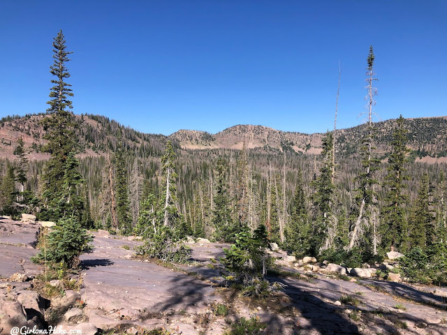
The fire happened in July 2016. It was really nice to already see a lot of regrowth in this area!
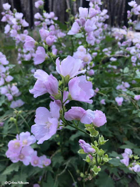
There were even giant fields of these wildflowers. My best guess is these are wild Hollyhock flowers.
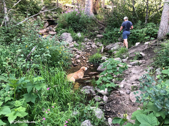
At 2.7 miles pass the next stream crossing, Charlie is already quite hot and lays down in it.
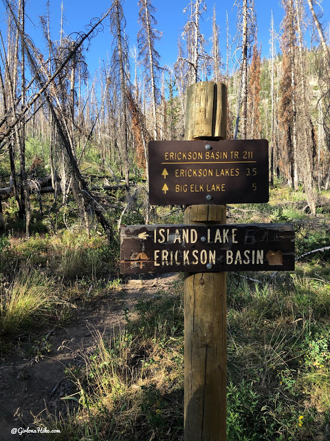
Just after the last stream crossing and at 2.9 miles you will see the trail split. Once again the sign is incorrect. It says 3.5 miles to Erickson Lakes, when it is only 2.5 miles. Turn right here. To this point you have only gained about 850 ft in elevation.
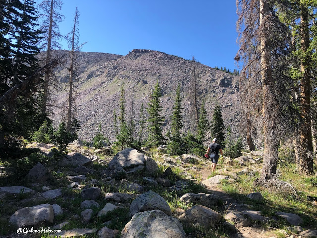
Now it is time for the leg burn – in the next 2.5 miles you will gain roughly 1,500 ft.
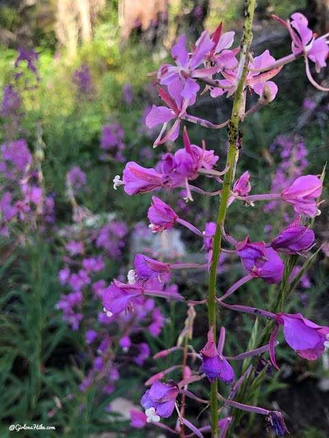
So many flowers in July!
Charlie takes every chance he can to lay in the water crossings. We started to loose the trail a little here from the fire and overgrowth but just keep pushing through and you should pick it up again.
More steepness and now very rocky sections.
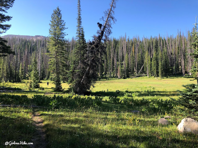
Passing by this beautiful meadow. The trail also fades through here so keep an eye on giant cairns.
Getting closer now – don’t forget to look back at your views of Erickson Basin!
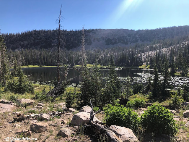
At 5.3 miles pass North Erickson Lake. This one isn’t as pretty in my opinion. There is a very good campsite here though.
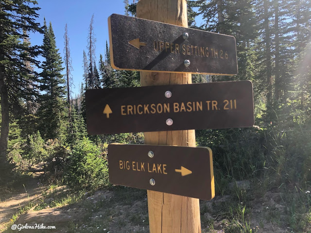
Reach the next trail split and stay straight for South Erickson Lake.
Almost there.
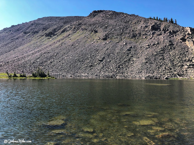
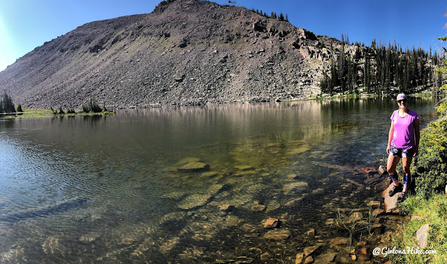
5.5 miles reach South Erickson Lake. It was so cool to hike the trail on this side of the Uintas. I think I prefer this route to the lake over Shingle Creek. The first 3 miles are flatter for longer, there’s less people, it’s shorter overall, and you can see more from this trail. Shingle Creek is a lot more forested so there’s not really any views.
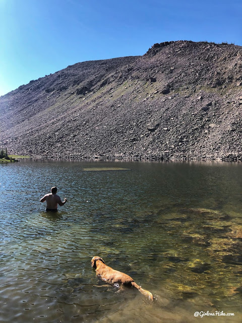
The boys took a swim out to the rock I swam to last time! This time I was happy to just take photos 🙂
Great day to be in the Uintas! On the way down we ran as much of it as we could. The hardest part was “running” back to the trail split just because it was so steep and rocky (I did way more walking that section). Once we hit the last 3 miles it was smooth sailing. We did this as a run/hike in 4 hours RT!
Trail Map
My track via Gaia GPS – the best tracking app! Get your app here for a discount.
Nearby Hike
Backpacking to Abes Lake, Uintas

Save me on Pinterest!