
About
However, if you are willing to put in a little effort with route finding and a poor trail, the destination is totally worth it! I highly recommend downloading the Gaia GPS app. You can download maps ahead of time, track your route, create routes, etc all without needing internet or a signal. I had to keep looking at my app the last 4 miles of the trail, since the trail started to fade and it was getting dark. It’s also a good idea to have a paper map of the Uintas or backup charger in case batteries run out on your phone.
Backcountry camping follows the same rules for all the Uintas – no camping with 200 ft of any trail or lake, and no fires with 1/4 mile of any lake. Leave no Trace rules apply!
Directions
Use this map if driving from SLC. Once you turn off the Mirror Lake Highway, follow the brown signs for East Fork Bear River, where the TH is located. Small, passenger cars can make it but slowly.
Trail Info
Distance: 10 miles one way to Priord Lake
Elevation gain: 1,900 ft
Time: 5-7 hours one way
Dog friendly? Yes, off leash
Kid friendly? 12+ for kids who have backpacking experience and can carry their own weight
Fees/Permits? There is no permit, but there is a $6 fee (good for 3 days) for accessing the Mirror Lake Highway and trails. You can purchase the pass at the ranger station in Kamas, UT, or any of the self-serve stations along the highway. If you have an annual National Park Pass or annual American Fork Canyon Pass you can use either to park free.
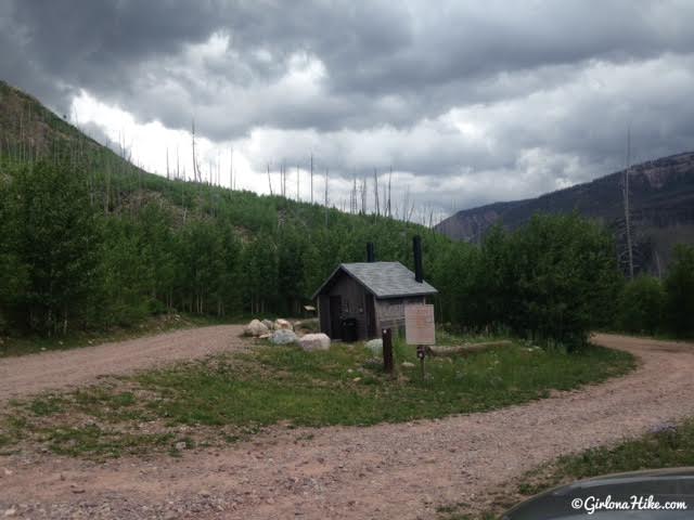
The dirt road ends in a loop by a restroom.
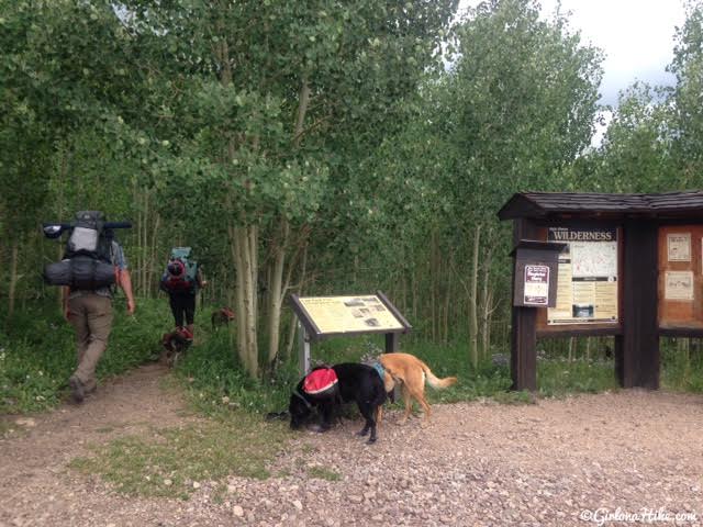
The trail starts in the SE corner of the parking area.
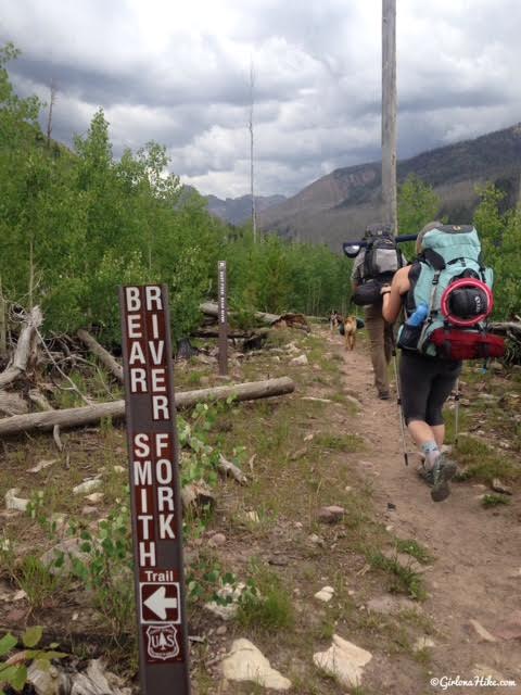
When you get to the first trail split, stay straight. The Bear River Smith Fork will take you over Deadman Pass and eventually to the fun trailhead for Red Castle Lakes.
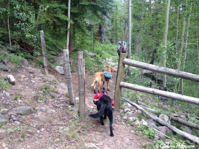
Cut through the small gated area.
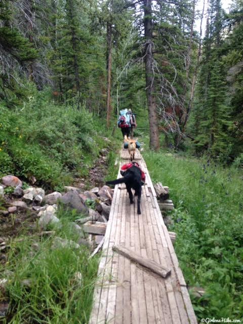
The boardwalks only last for the first 3/4 mile or so.
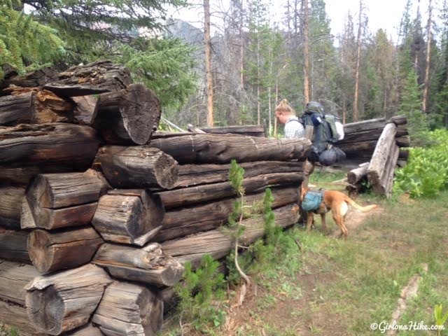
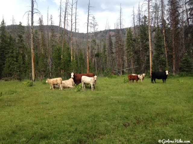
You should pass by this old ranch cabin on the left. These old cabins could have also been for the lumberjacks. This basin was, and still is, a popular area for ranchers to herd sheep and cows. You can find a few remains of the old structures along the trail.
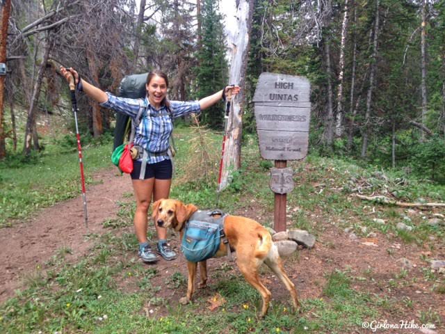
Officially entering the High Uintas!
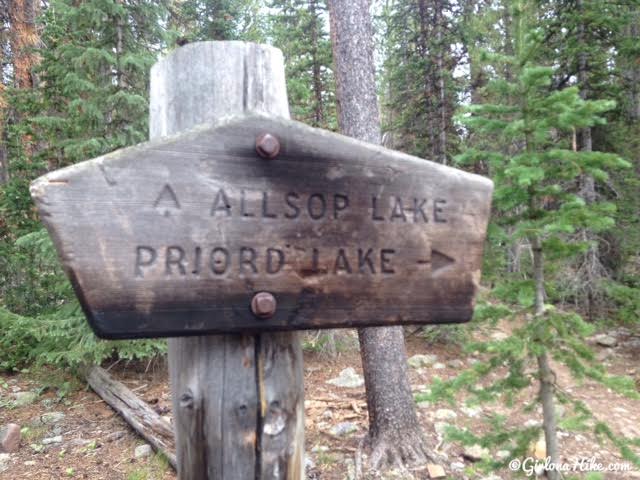
You’ll reach the trail split at about mile 4.5. Stay right for Priord Lake, and you’ll cross the stream.
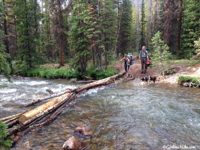
Crossing the stream. I was able to have good enough balance to get across the logs hiking in, but on the way out, I slipped and totally fell in the water! My pack was soaked. Be careful when crossing here – the logs are wet and it would have just been easier to cross the stream itself. All of the dogs needed help getting across because the current was pretty strong.
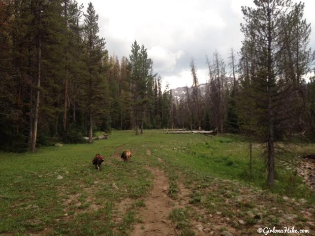
You’ll cross the creek several times. At the second creek crossing I put my Tevas on and left them on for the last 4 miles. Since the trail got so mushy, my feet stayed wet almost the entire time.
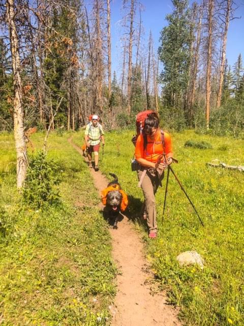
A section of “good” trail.
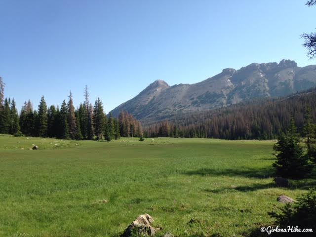
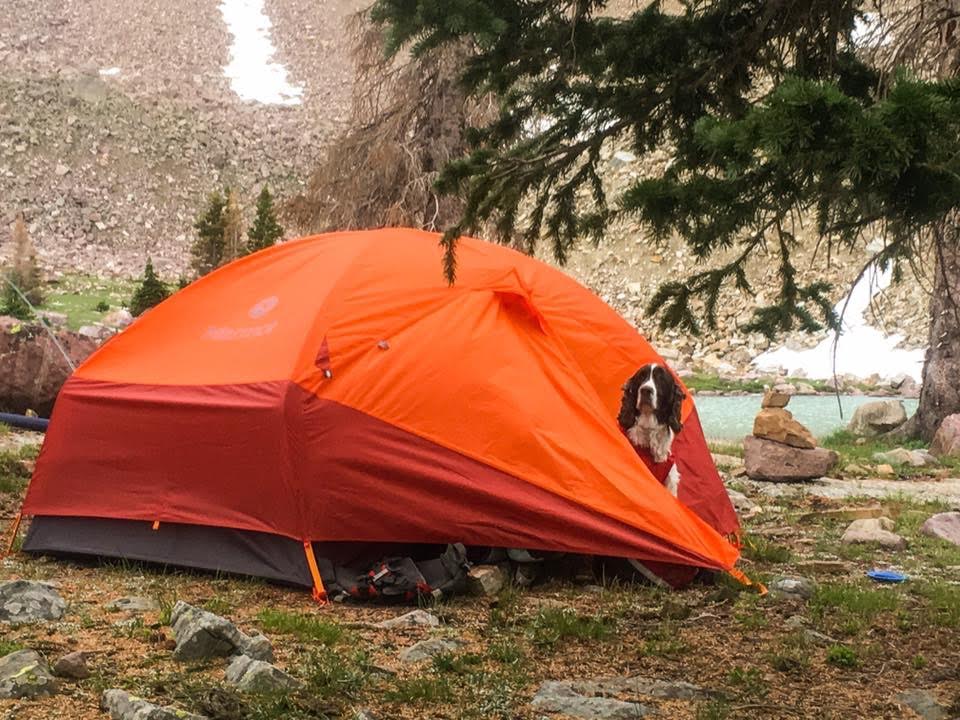
Since we started hiking later than we planned, we couldn’t make it to Priord Lake the first night. We ended up hiking in the dark for about 45 minutes until we reached the Norice Lake area, and found a dry spot to set up camp around 10pm. We were only a mile away from Priord, but I was glad we didn’t keep pushing because there was no way we’d be able to find the lake in the dark, since past Norice Lake there’s no trail. I woke up to this awesome view though!
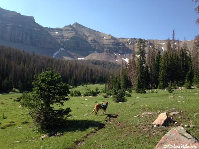
Continuing on the next morning, we only had to hike a mile to reach Priord Lake. Past this point there is no trail, and where you’ll need to rely on your tracking app or device to get you there.
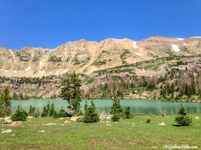
Finally, we reached our destination!
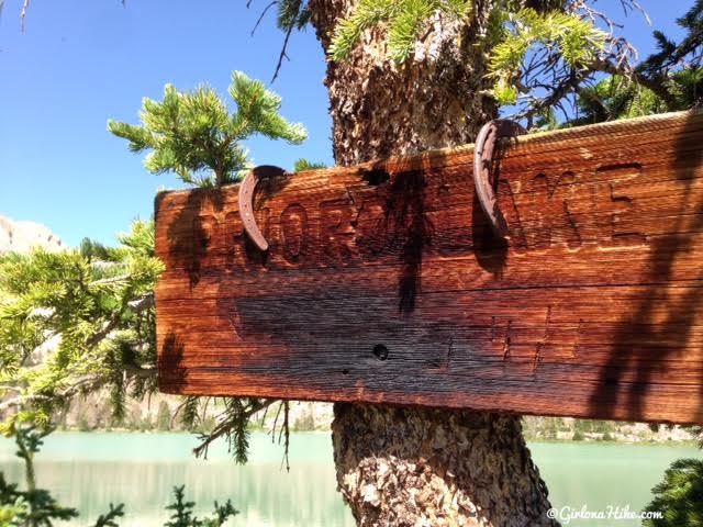
Official sign.
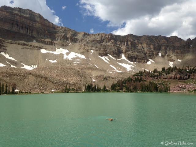
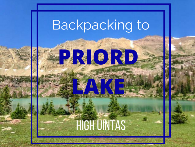
I couldn’t believe how turquoise this lake is!!! Definitely one of the prettiest lakes in the Uintas. The hard work to get there was totally worth it.
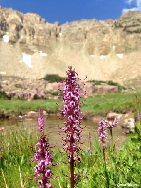
Since we had two nights at the lake, we explored the area and found these Elephants Head flowers.
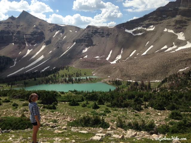
Hiking above Priord Lake, Yard Peak in the top left corner. Several people have asked me if I saw a trail going up and over that pass. No, there was no trail. However, if you are comfortable with steep, loose scree then you could make your own trail to get up there.
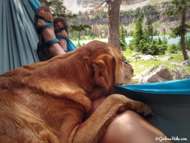
Hanging out in the hammock for some down time.
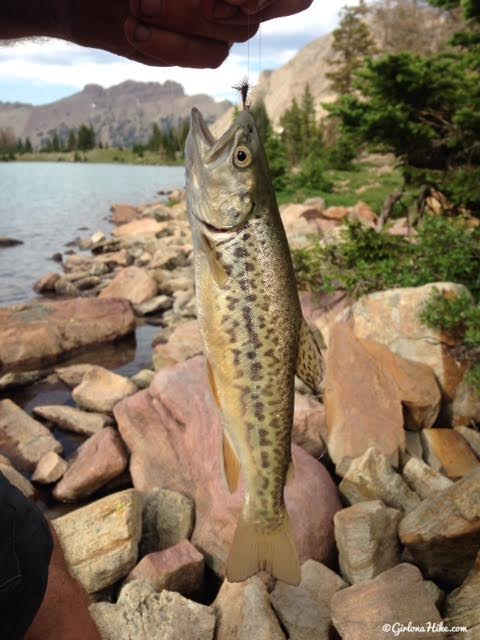
We also did a little fishing. Mostly we caught these Tiger Trout, no bigger than 4-5 inches.
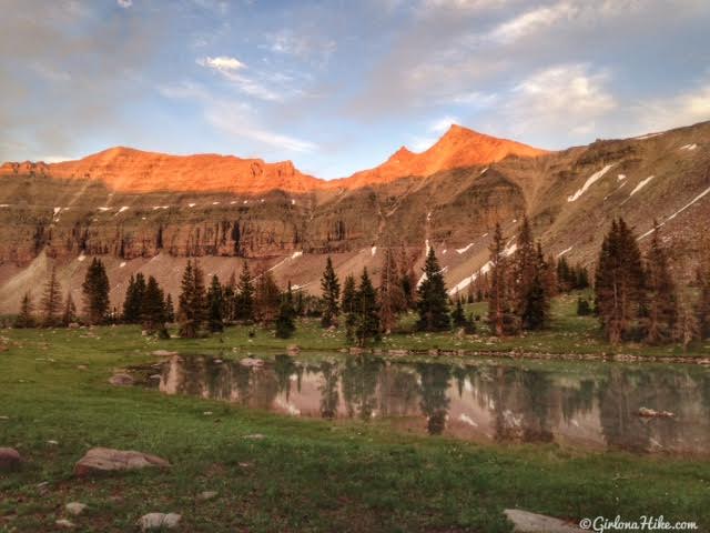
Yard Peak during alpenglow.
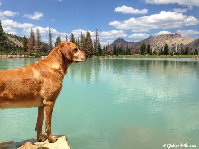
One of my favorite photos from the trip. I love the contrast of Charlie’s gold coat with the turquoise water.
Trail Map
My track via Gaia GPS – the best tracking app! Get your app here for a discount.
Recommended Gear
Nearby Hike
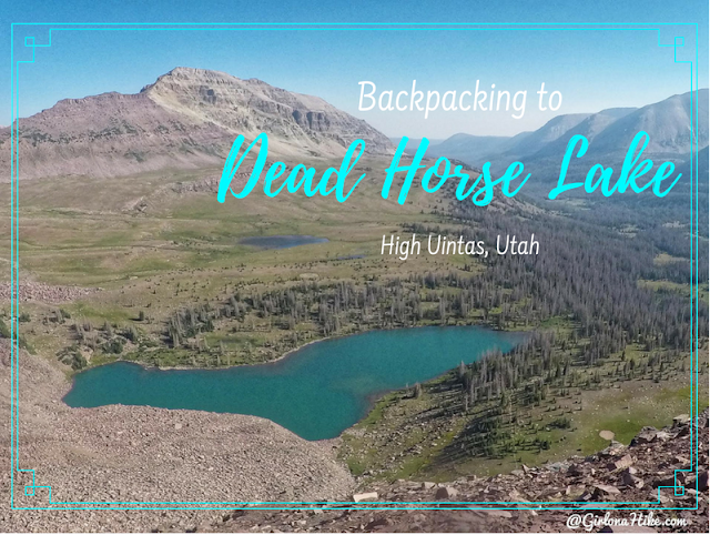
Backpacking to Dead Horse Lake

Save me on Pinterest!
