

About Gloria Falls and Red Pine Lake
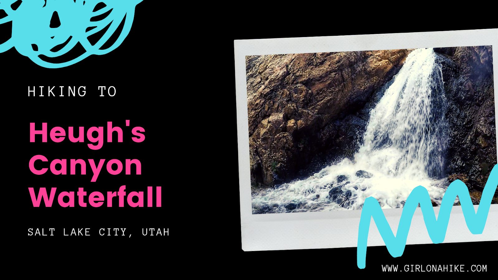
The trail is very easy to follow, and can become very crowded on weekends, so mid-week is better for less people. Along the way be sure to stop at Gloria Falls, a 75 ft waterfall that flows down White Pine Fork. This trail is popular for runners, backpackers looking to spend a night at the lake, and hikers aiming for the Pfeifferhorn summit. This trail gradually gains 2,000 ft elevation in just 4 miles one way so your legs better be ready for a work out! Kids can do this trail if they have experience with this kind of mileage/gain, however, dogs are NOT allowed on this trail since they are not allowed in LCC at all.
Directions
Drive 5.4 miles up LCC and turn right into the parking lot for the Red Pine/White Pine TH. Here is a driving map.
Trail Info
Distance: 8.2 miles RT
Elevation gain: 2,200 ft
Time: 3-5 hours
Dog friendly? No, dogs are not allowed in LCC
Kid friendly? Yes, ages 10+
Fees/Permits? Parking at the Grit Mill and White Pine Trailheads requires a recreation pass year-round. Visitors can purchase a 3-day pass for $10, a 7-day pass for $20, or an annual Uinta-Wasatch-Cache National Forest pass for $60. The America the Beautiful Pass ($80) is also accepted at these day-use sites.
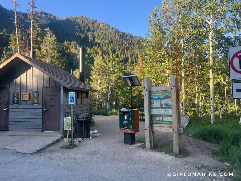
Begin by hiking behind the port-a-potty. The trail curves around to the left. Remember to pay for your parking pass, or display a National Parks Pass. I have AT&T and had cell service at the trailhead.
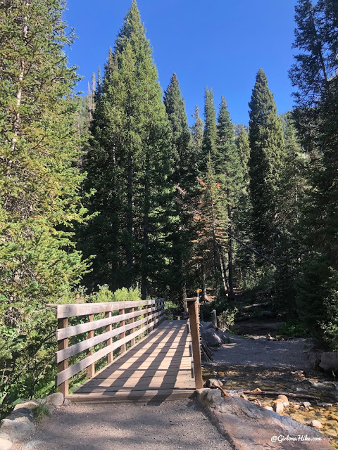
Cross the first bridge.
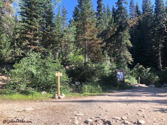
In 1 mile reach the first major trail split, staying right for Red Pine.
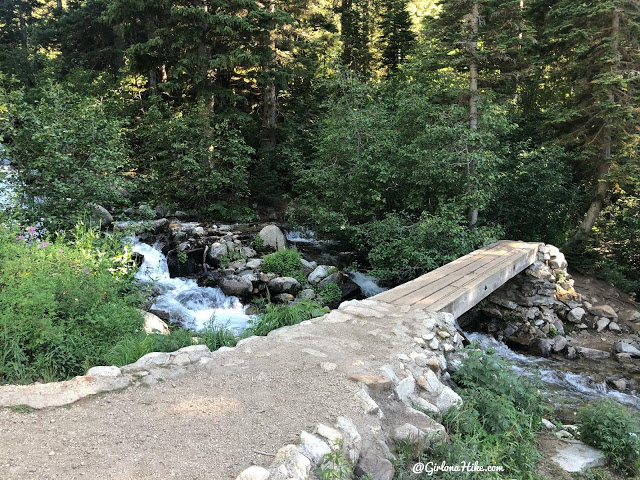
Cross the 2nd bridge.
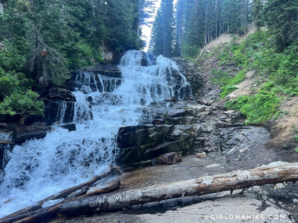
Just after you cross the 2nd bridge, turn left up what looks like a game trail and follow the creek until you reach Gloria Falls. Wow, what a cool waterfall! From the TH to here is only 1.3 miles.
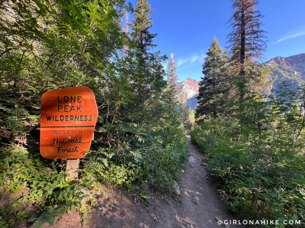
Back on the main trail continue following the trail as you pass the official Lone Peak Wilderness sign.
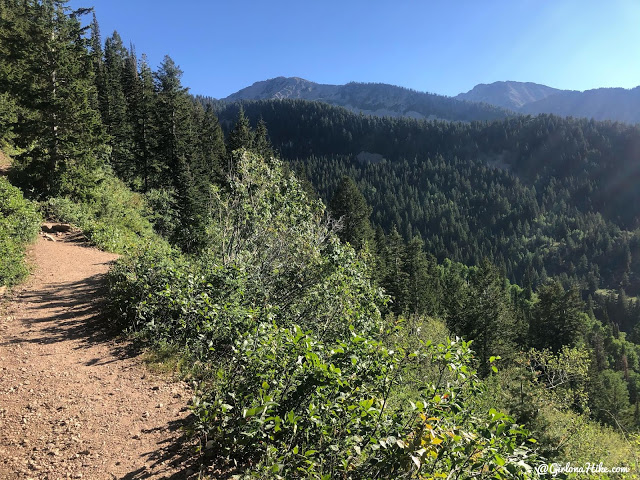
The views really open up here.
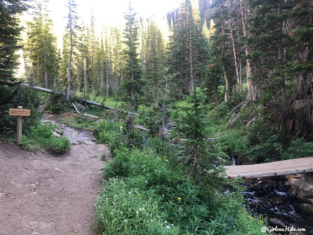
At 3.3 miles reach the next trail split. Stay straight for Red Pine.
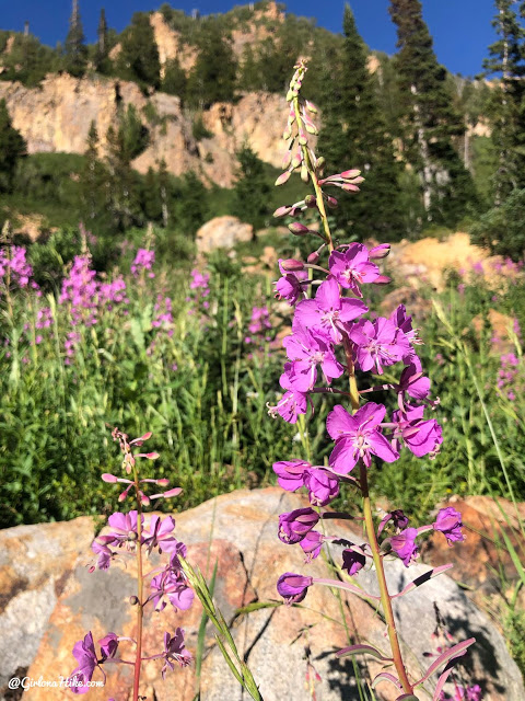
July is a perfect time to see all the wildflowers!
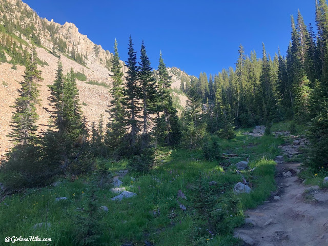
Pretty meadow.
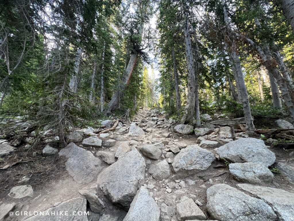
There is one section that is very steep and rocky. After this, the trail winds up a few switchbacks.
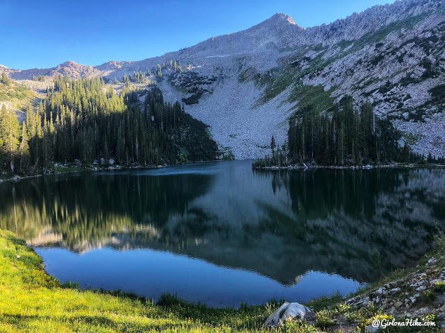
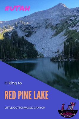
And at 4.2 miles reach Red Pine Lake!
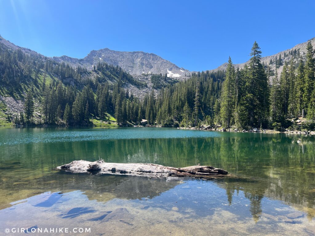
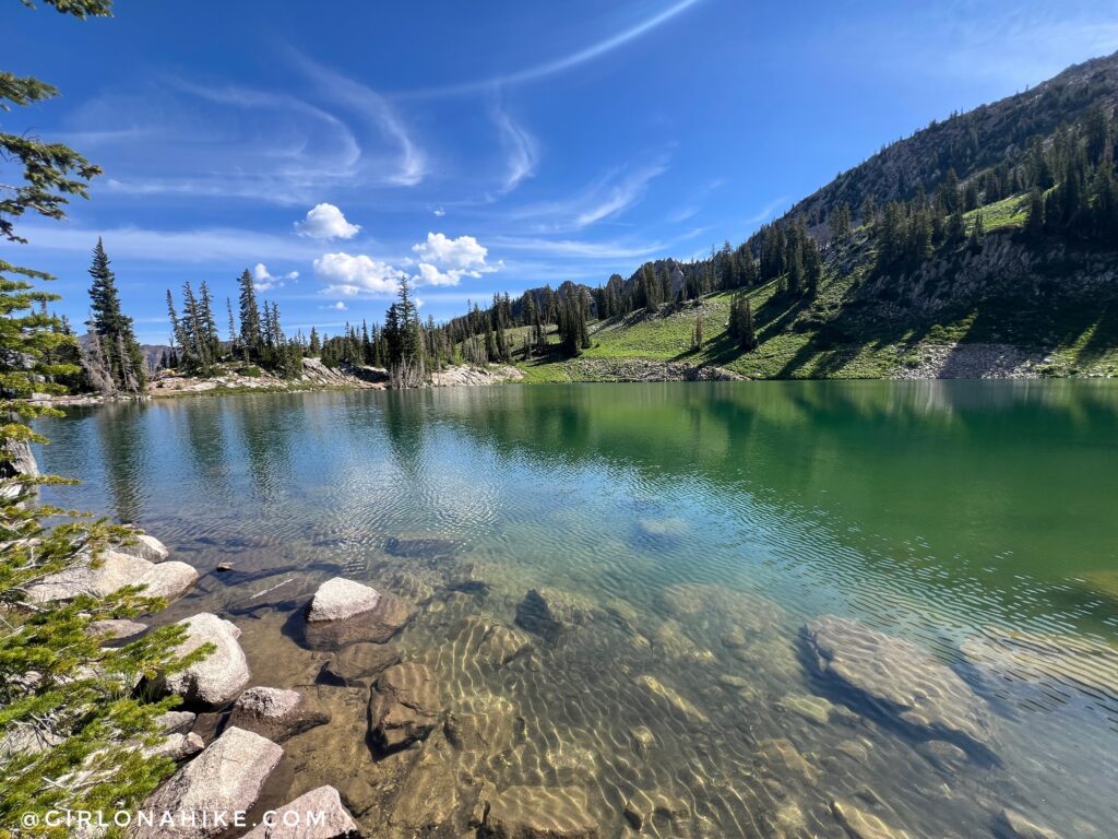
The water is so clear!
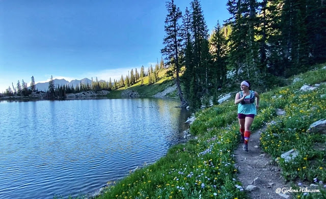
Red Pine Lake is perfect for an evening trot!
Trail Map
My track via Gaia GPS – the best tracking app! Get your app here for a discount.
Nearby Hike
Hiking to Cecret Lake & Sugarloaf Peak


Save me on Pinterest!