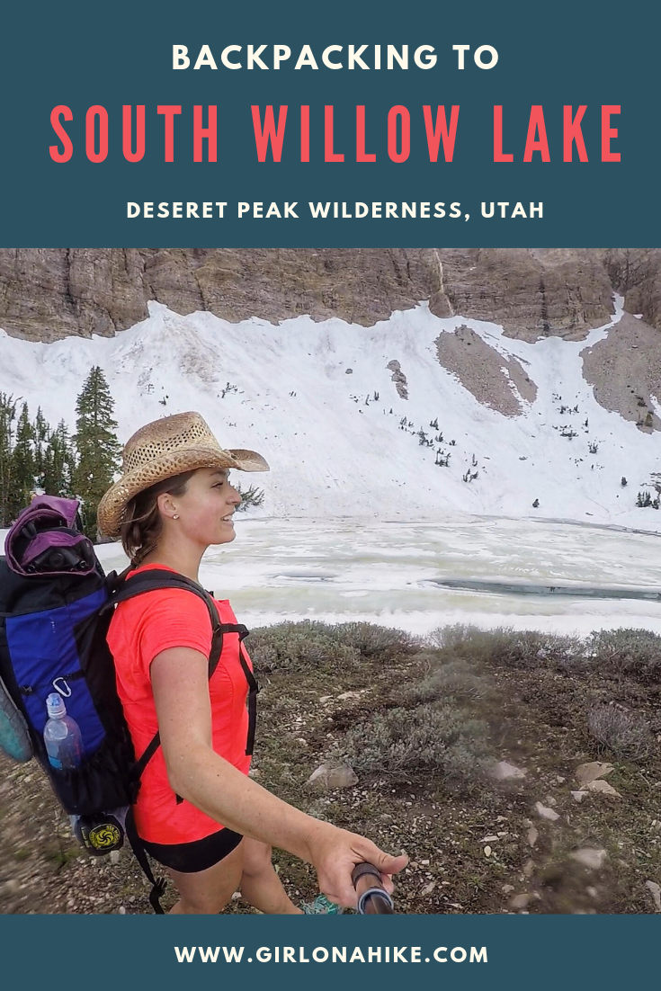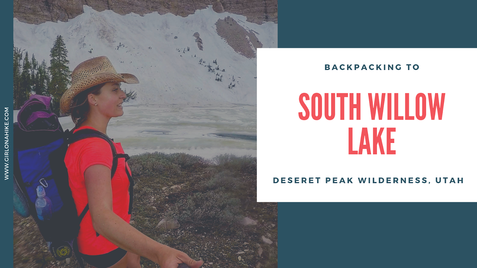

South Willow Lake is a high alpine lake in the Deseret Peak Wilderness, West of Salt Lake City, Utah. It is a fairly steep trail but only 3.5 miles to the lake. The best time to backpack here is mid-June – October, when the winter gate is open and the trail is mostly free of snow. There are two routes to get to South Willow Lake via the Deseret Peak TH or the Medina Flat TH (aka Stansbury Front Trail).
Directions
From SLC, head West on I-80 and take exit 99 for Tooele, UT. Drive 3.4 miles, then turn right on HWY 138, then another 10.8 miles and turn left on S West St (you will also see a large brown sign for South Willow Canyon here). Drive 5.2 miles and turn right at the signed “Medina Flat” – it’s 0.2 miles past the Ranger Station. It’s a dirt road, but well-graded. Any car can make it. There is a port-a-potty at the TH. The drive from SLC is about 1 hour 20 minutes.
Here’s a driving map
.
GPS of Medina Flat Trailhead
40.49598, -112.57714
Trail Info
Distance: 7 miles RT
Elevation gain: 2,460 ft
Time: 2-3 hours one way
Dog friendly? Yes off leash
Kid friendly? Yes, for older kids
Fees/Permits? None
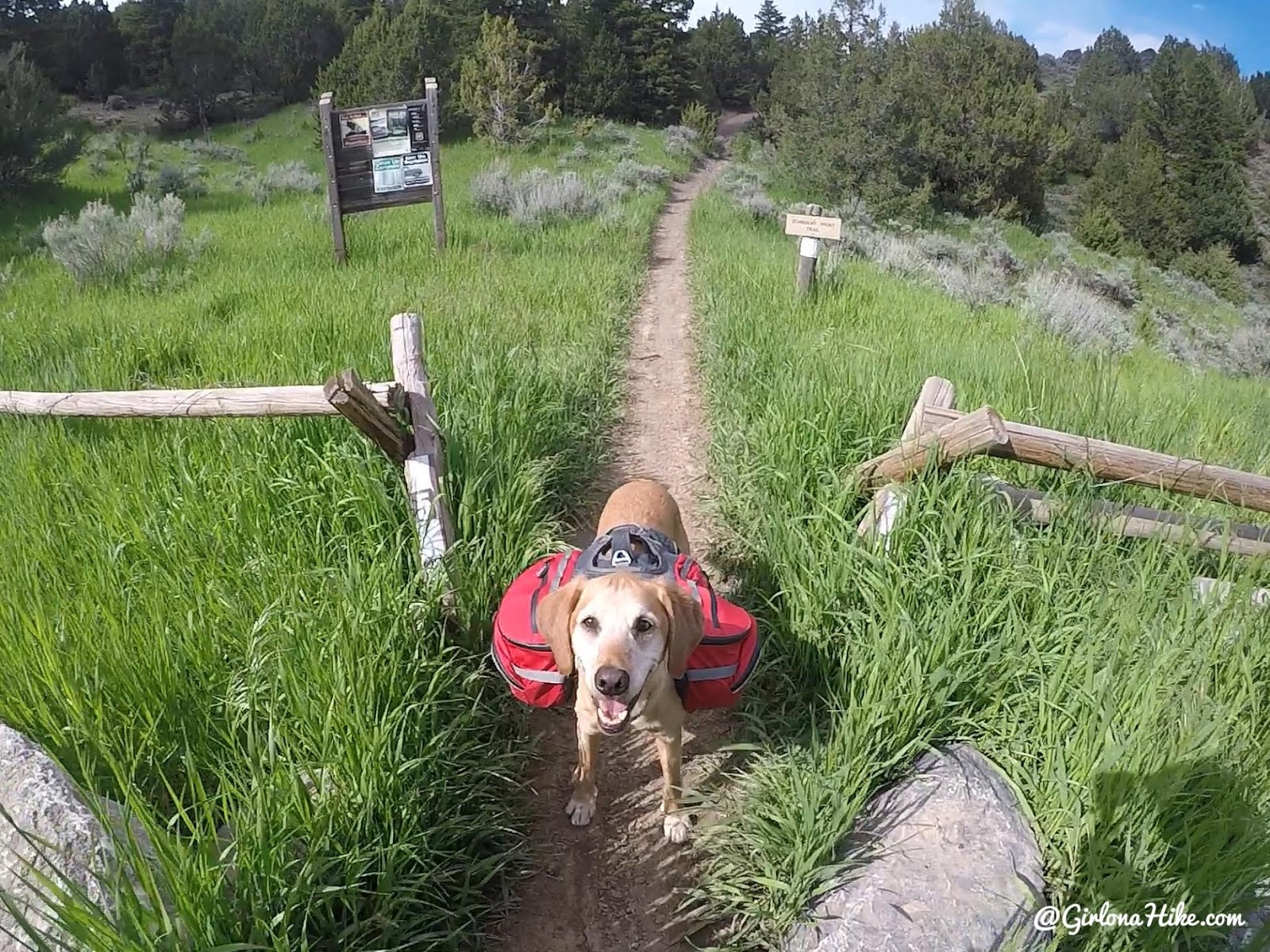
We parked at the Medina Flat TH, and the trail is now called the Stansbury Front Trail. There is a port-a-potty and parking for roughly 30 cars. Be advised that horses also use this trail, so have a leash handy.
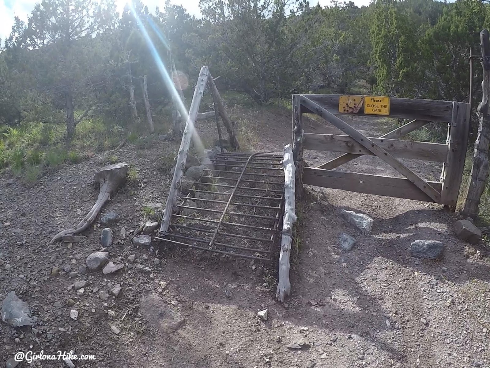
Within 5 minutes of hiking, cut through the gate.
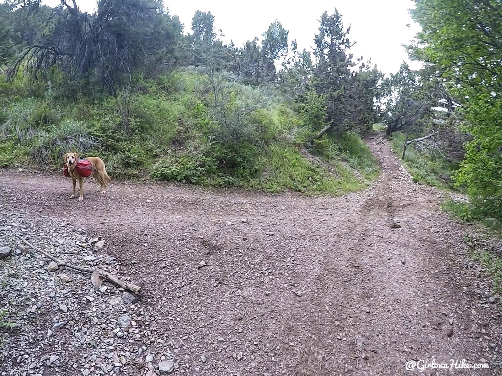
At the first trail intersection, turn left. Hiking straight would take you over to the North Willow TH.
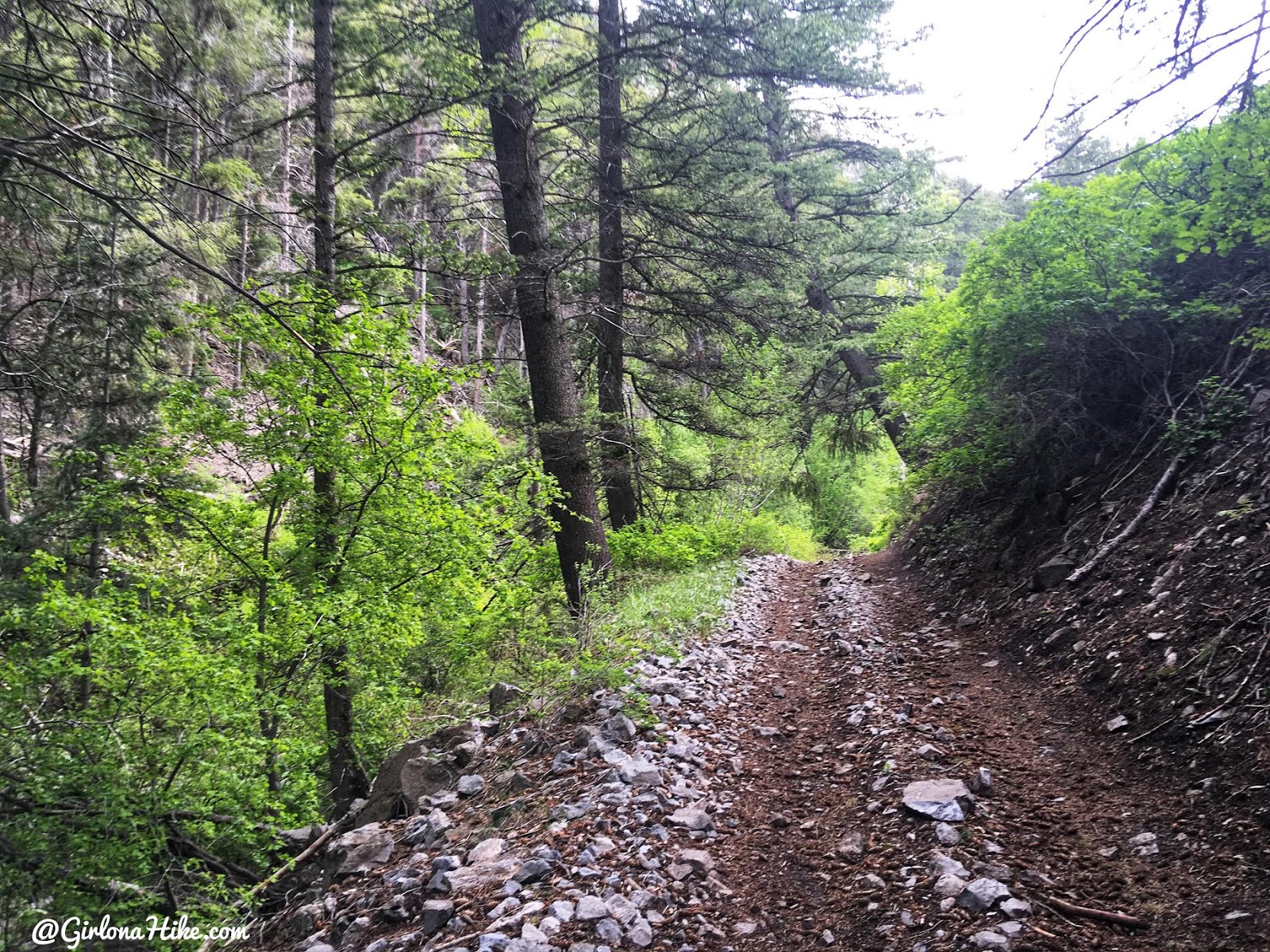
You should now be hiking West, along the old mining road, still used by ATVs today.
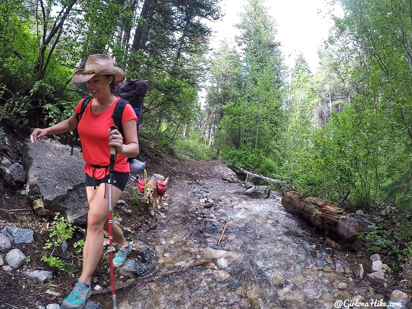
There was so much snow melt in June 2019, that the “trail” was now a stream.
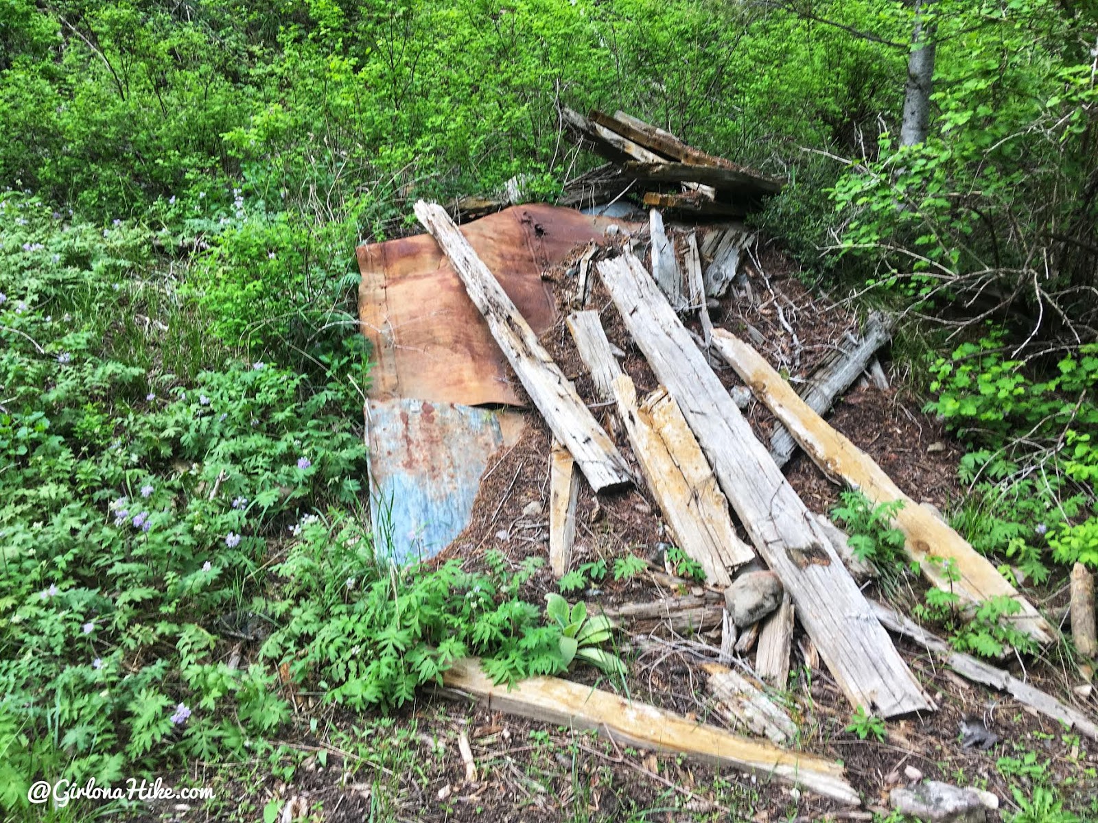
Old mining structure.
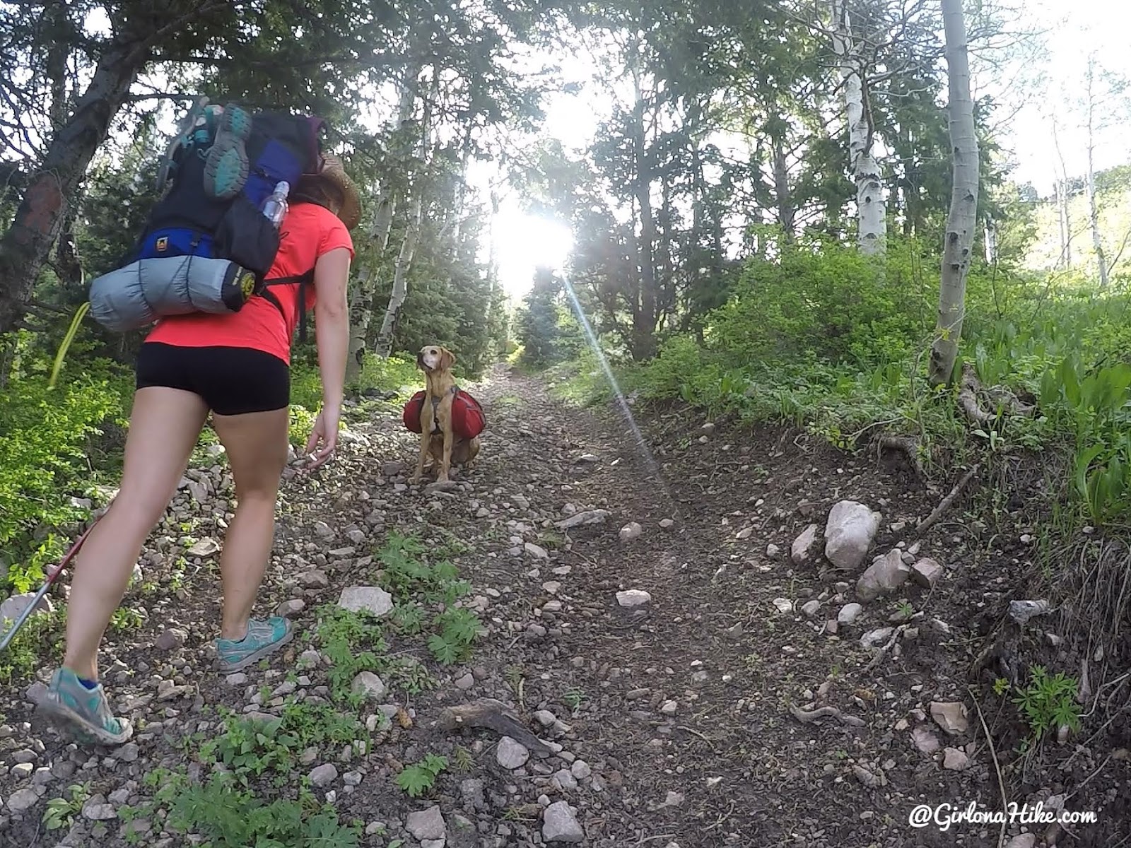
Whew, the trail is steep in sections! Glad my pack only weighed 16.5 lbs!
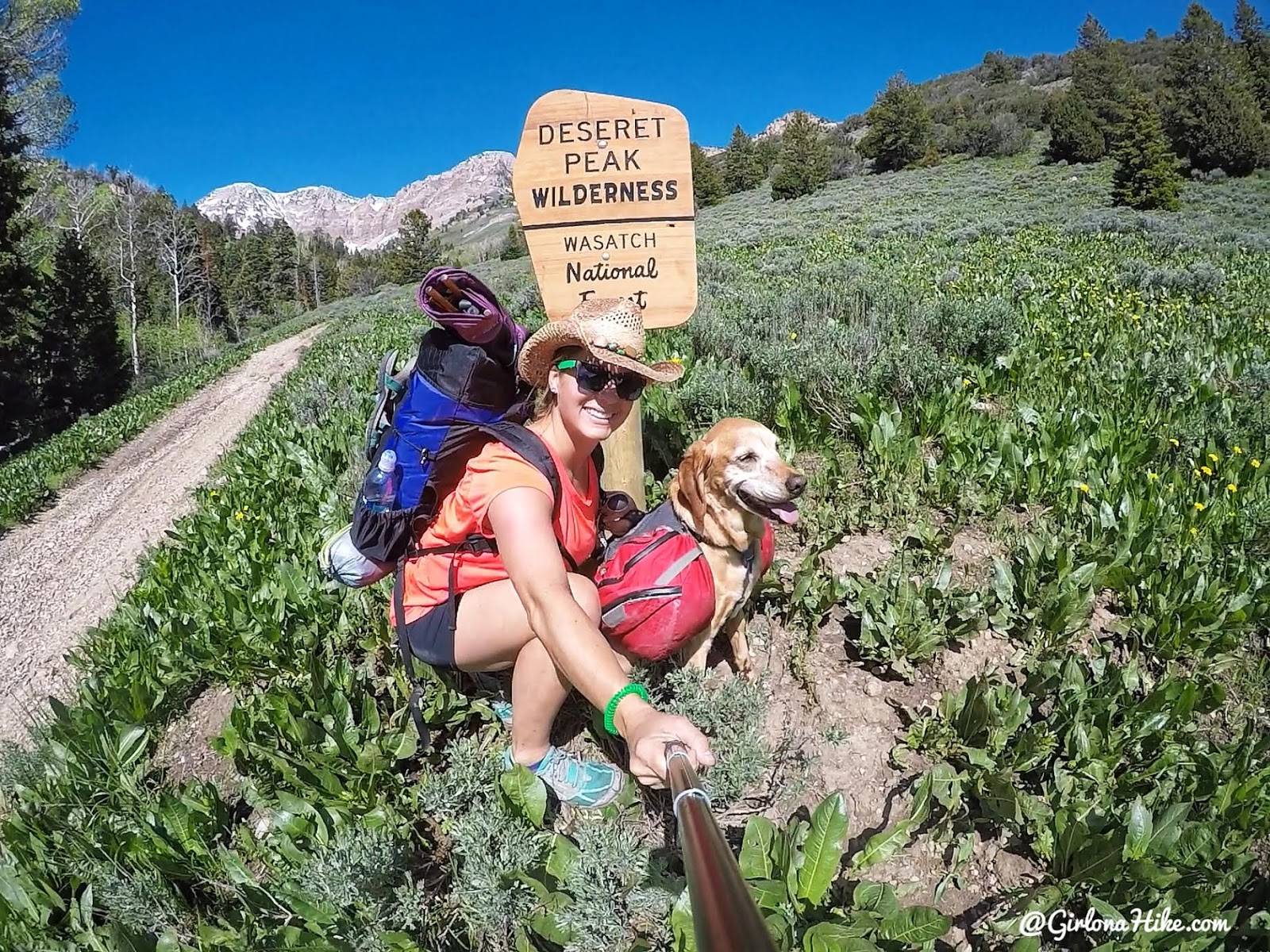
At 2.2 miles you’ll see the official Deseret Peak Wilderness sign.
The pack I’m using is my new 30 MILE (30 liter) pack by Waymark Gear Co. My goal this summer was to be able to do a solo, overnight backpack trip using this pack and I was able to fit everything! This was my first time being able to backpack with a 30L pack, rather than my usual 50L.
Get 10% off your entire order from Waymark Gear Co, using the code “GIRLONAHIKE” at checkout here!
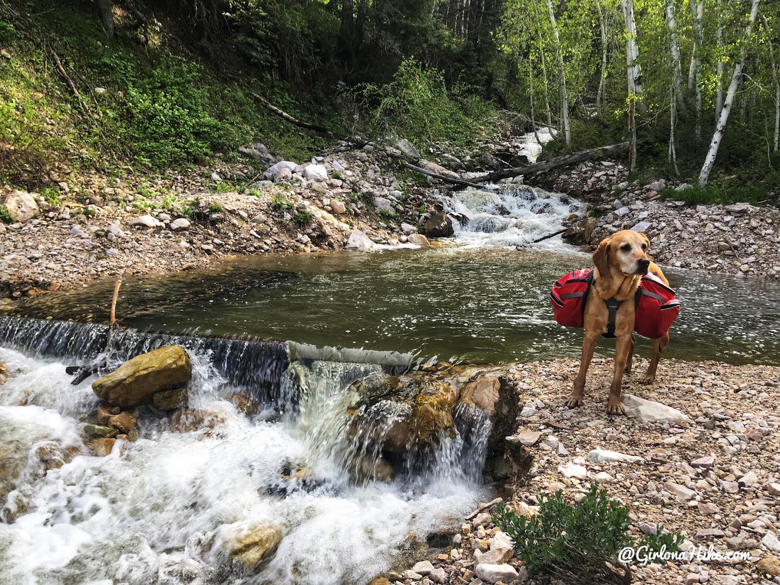
Just to the left of the wilderness sign is a nice swimming hole for the dogs.
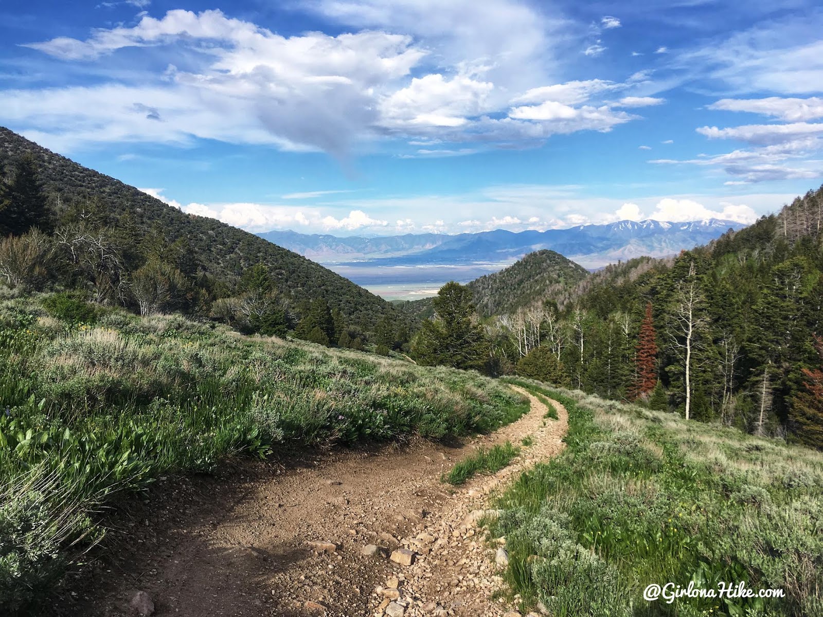
Don’t forget to look back! The snowy peaks in the distance to the right are Butterfield, White Pine, and Kelsey Peaks!
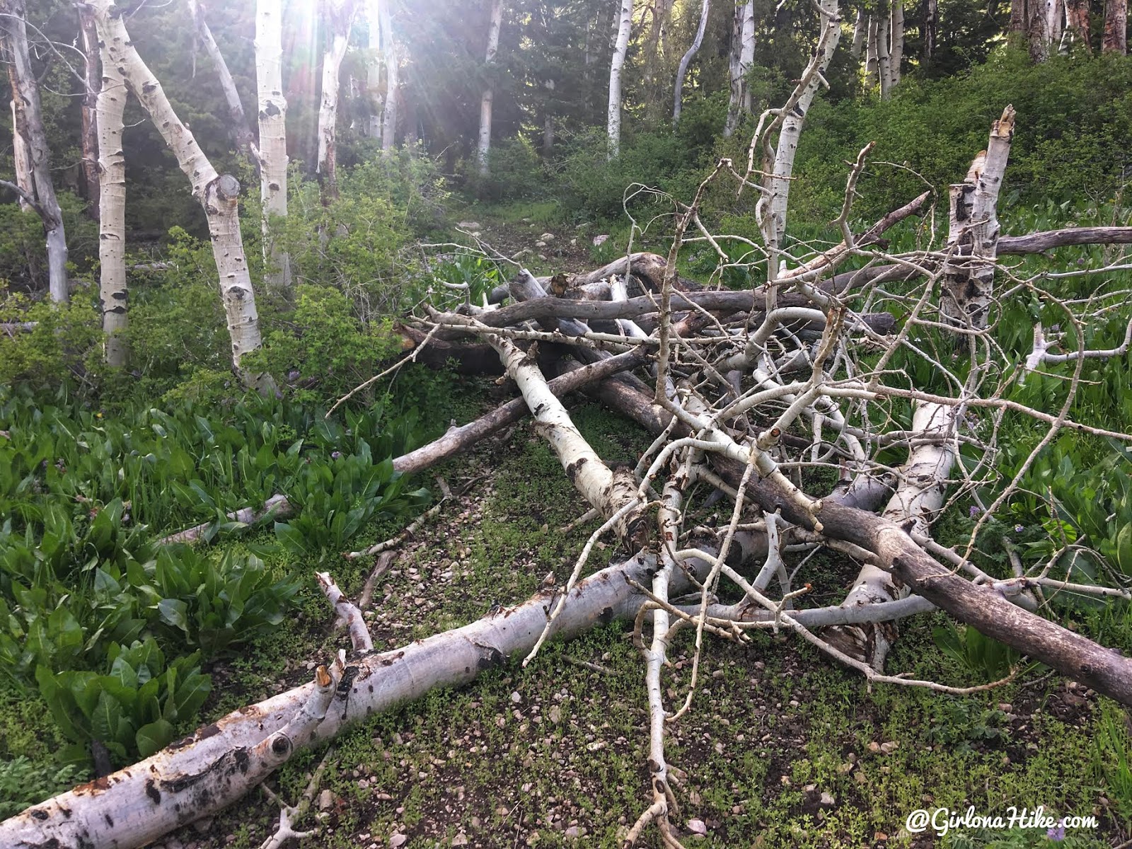
Around 2.4 miles you’ll see two boulders on the left and a pile of trees. I tried taking the trail through the boulders but it died out within 10 feet, so there’s not actually a trail. Keep hiking up the road around the pile of trees. Just beyond this is a steep hill, and then the trail changes to a single track route. From there you only have 1 more mile.
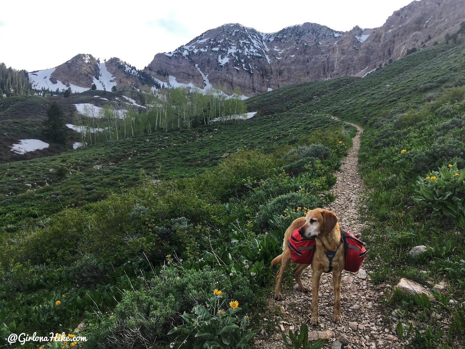
Working our way up some small switchbacks. See the white line/crack in the wall ahead? South Willow Lake sits right below that. We were so close!
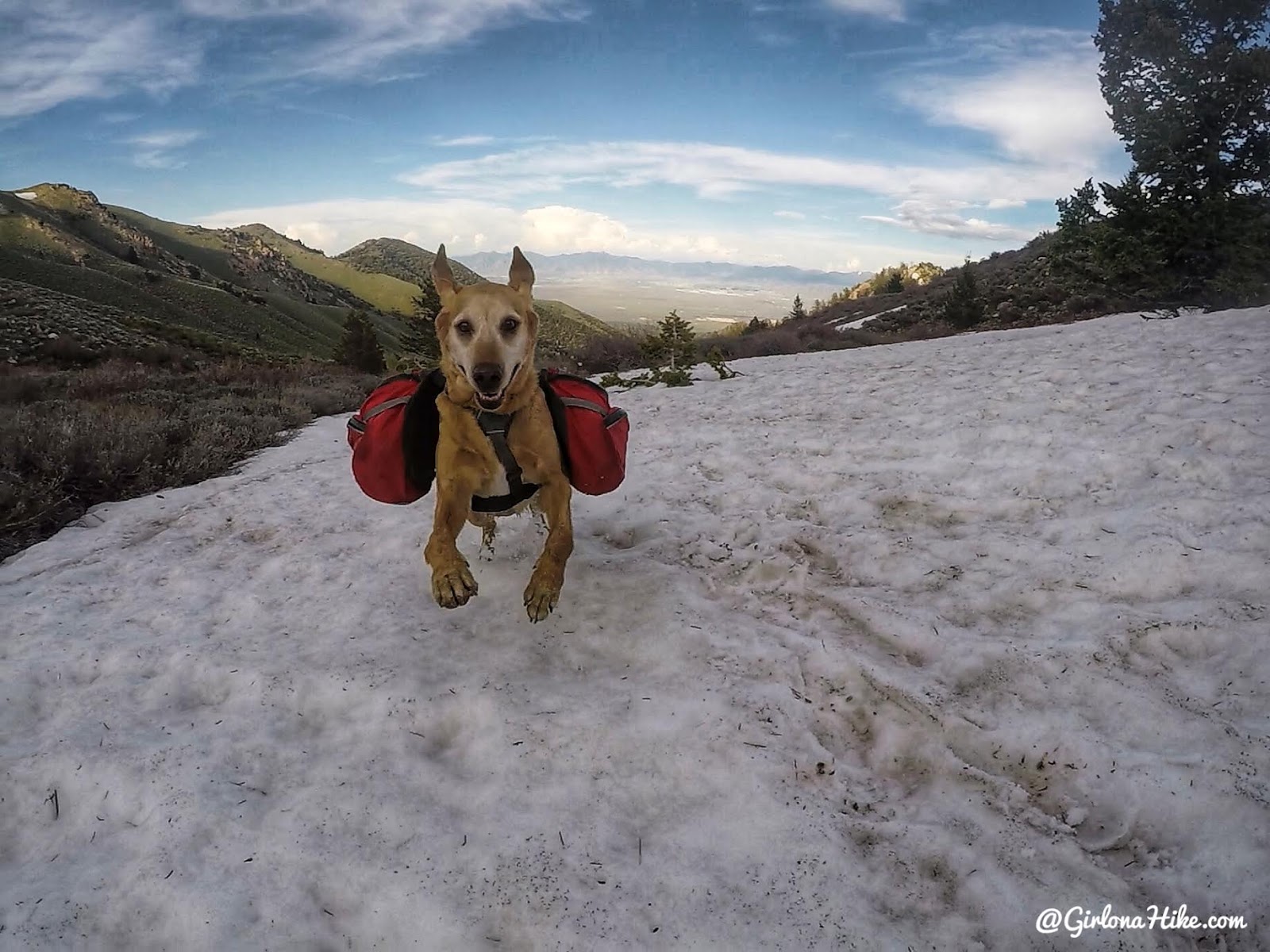
But first, a few snow patches to cross. Charlie was fired up to see snow again! Charlie wears the Ruffwear Palisades Pack.
Check out these 9 Items to Keep in your Dogs First Aid Kit while Hiking and Backpacking!
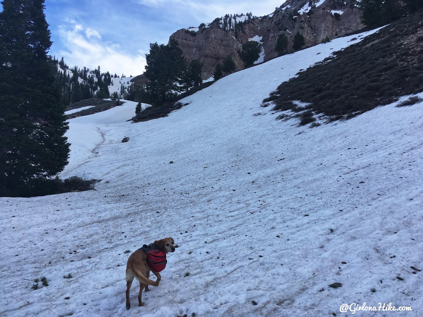
The trail is under there somewhere…
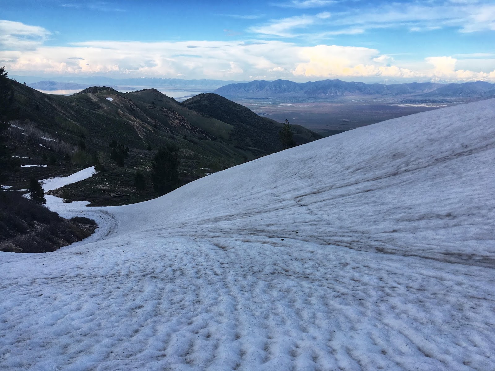
Looking back down to where I hiked up from.
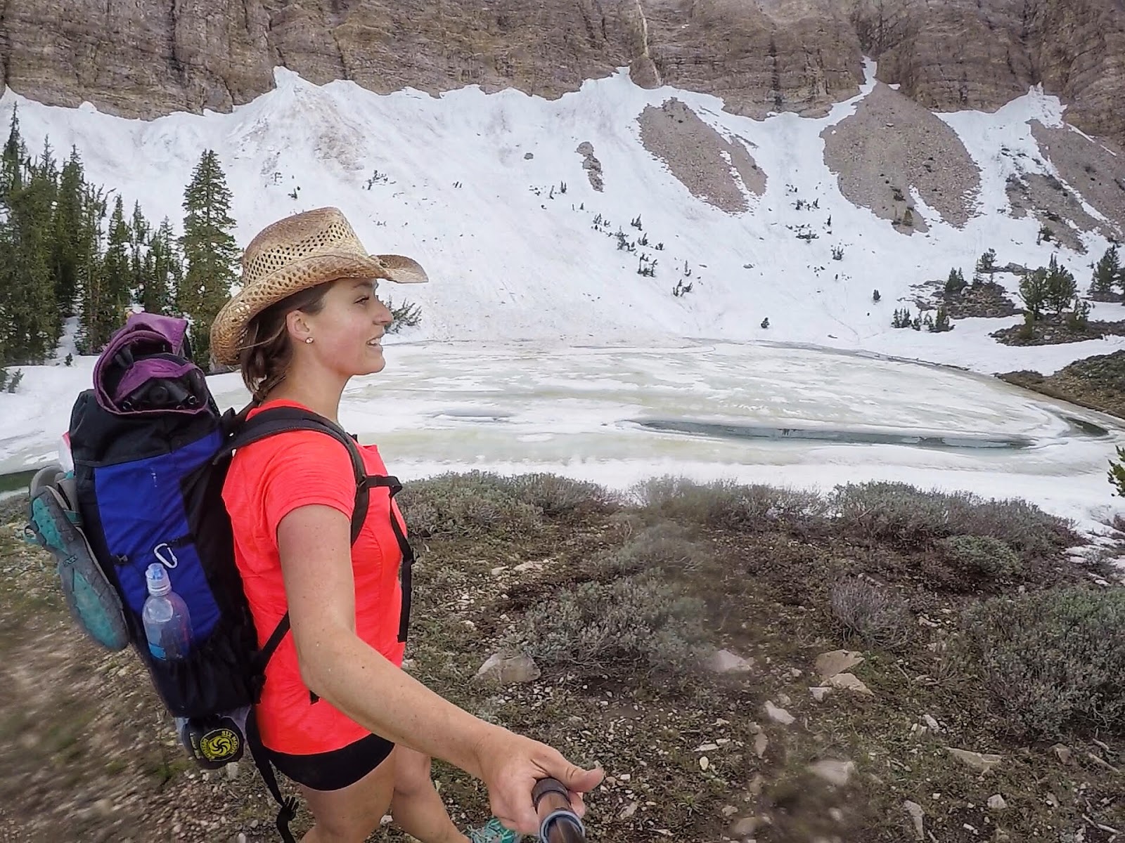
Finally, we made it! As expected, South Willow Lake was still frozen!
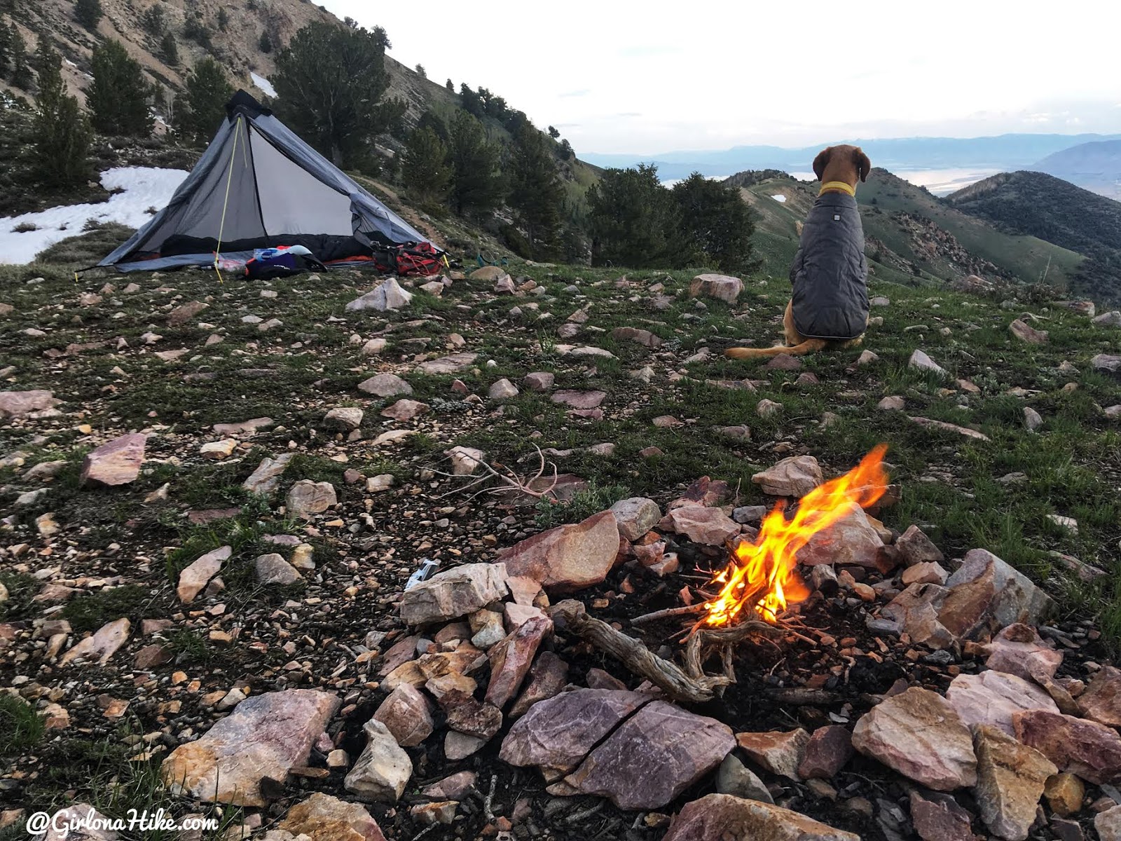
The temperature started to drop so I quickly set up camp and made a very small fire.
My solo tent that I use is the Six Moon Designs Lunar Solo tent, which weighs a mere 26 ounces! Switching to this Ultralight tent has helped me save a LOT of weight from my pack.
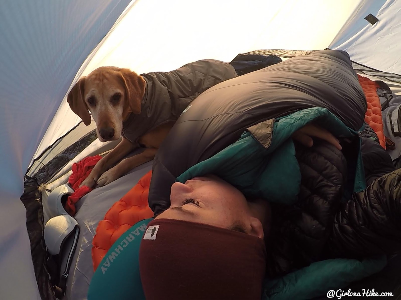
Snuggling in the tent! Plenty of room for 1 person, 1 dog plus some gear.
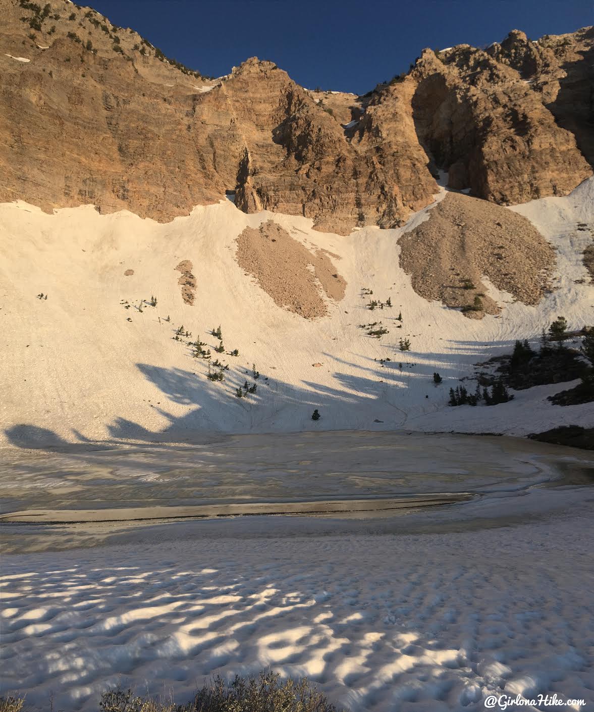
Good morning!
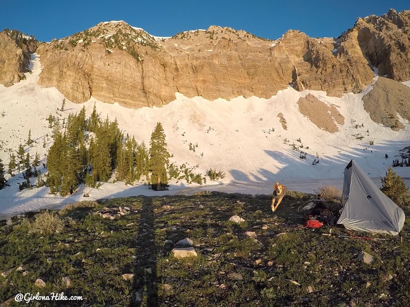
Time to wake up and make breakfast! If you’re looking for a sweet sunrise spot, this is it!
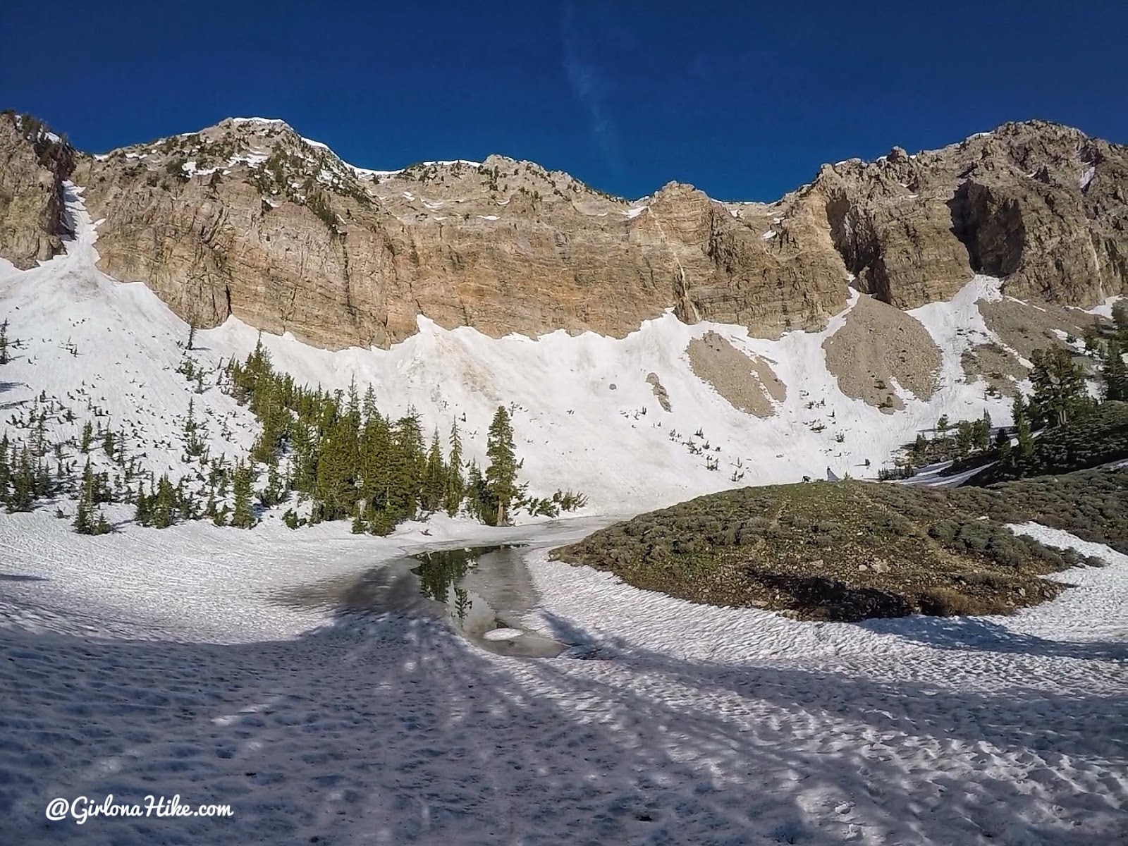
Walking around the lake. Because everything was frozen over, I had to walk back down the trail for a few minutes to be able to filter water.
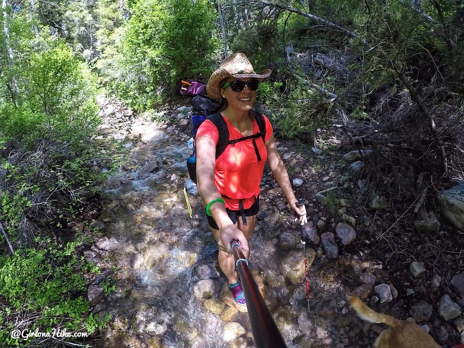
Time to head back down! This time I changed into my water shoes, kept my Darn Tough socks on for insulation, and it felt great!
Check out my videos!
Check out what I carried in my pack!
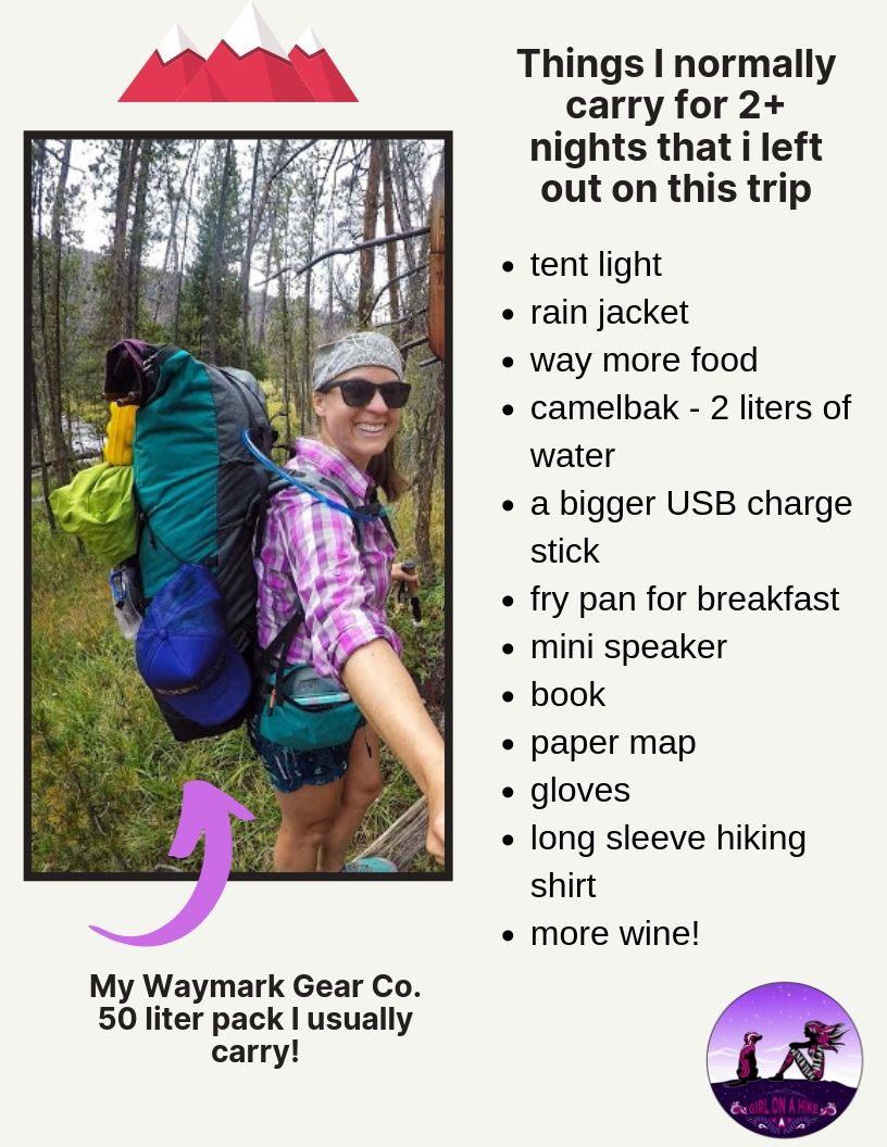
Removing all those items helped me get my pack down to 16.5 lbs for one night!
Trail Map
Nearby Hike

Save me on Pinterest!
