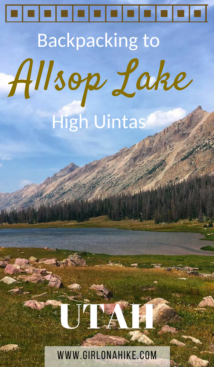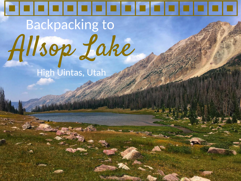

Allsop Lake sits on the Northern slope of the High Uintas Wilderness at an elevation of 10,600 ft. It’s 9 miles to the lake, so it makes for a perfect 1 or 2-night backpacking trip. The trail is fairly mellow, only gaining 1,600 ft and has one switchback. Allsop Lake is full of brook and tiger trout, and there are a few day hiking options from the lake as well including Cathedral Peak, Allsop Peak, and Yard Peak. This trail is dog friendly, however be aware that free-range livestock graze along the entire route. Plenty of tent and hammock sites line the lake for a perfect campsite. Keep in mind that the Uintas have regular afternoon thunderstorms, so be prepared for any kind of weather.
Directions
From SLC, head East on I-80 towards Park City, then South on HWY 40. Take exit 4 towards Kamas, UT. Once in Kamas, UT turn left at the first stop light (HWY 32), then right at the next stop light for Mirror Lake Highway. Drive along the Mirror Lake Highway until you reach mile post 48. Turn right on HWY 58, which turns into a well-graded dirt road. Drive 1.7 miles to the first 3-way intersection with a large brown sign pointing right for the “East Fork TH 5”. Drive 4.5 miles until you see another sign that says “E.Fk.B.R.TH”, and veer left. Drive another 0.5 miles until you reach the end of the road.
Here is a driving map.
GPS of TH: 40.9187291, -111.8936946
Trail Info
Distance: 9 miles one way
Elevation gain: 1,600 ft
Time: 3-5 hours
Dog friendly? Yes, off leash
Kid friendly? Maybe, depends on their backpacking experience
Fees/Permits? There is a $6 fee for a 3 day pass. It’s free if you have an annual Mirror Lake Hwy, American Fork Canyon pass, or annual National Park Pass. No permit is required. The pass can be picked up at the ranger station or along the highway at the self-serve stations.
Day 1
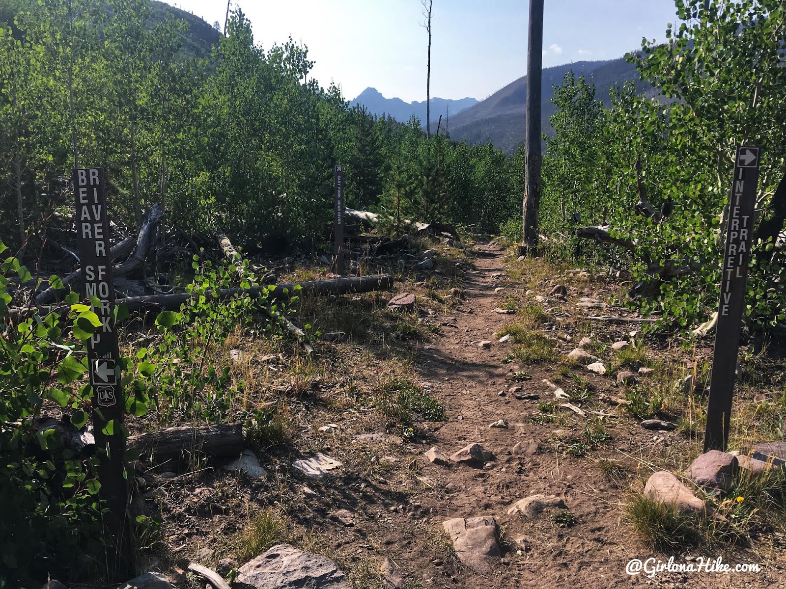
The trail starts from the southern end of the parking lot, behind the port-a-potty, and you’ll quickly reach the first trail split. Stay straight.
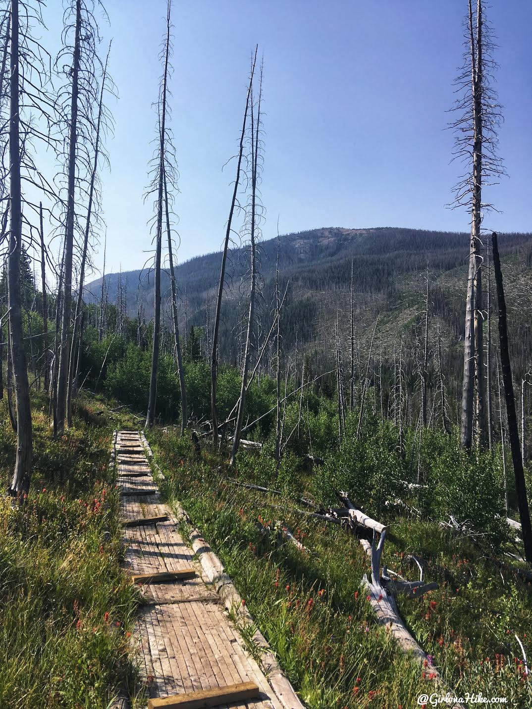
You’ll hike over several useful board walks within the first mile as well.
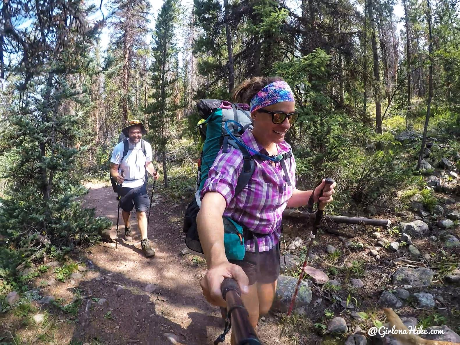
On the trail with @mountaintopmike
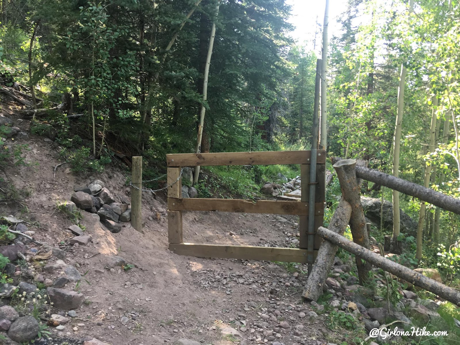
Reach this wooden gate within 20 minutes of hiking. Make sure to close it!
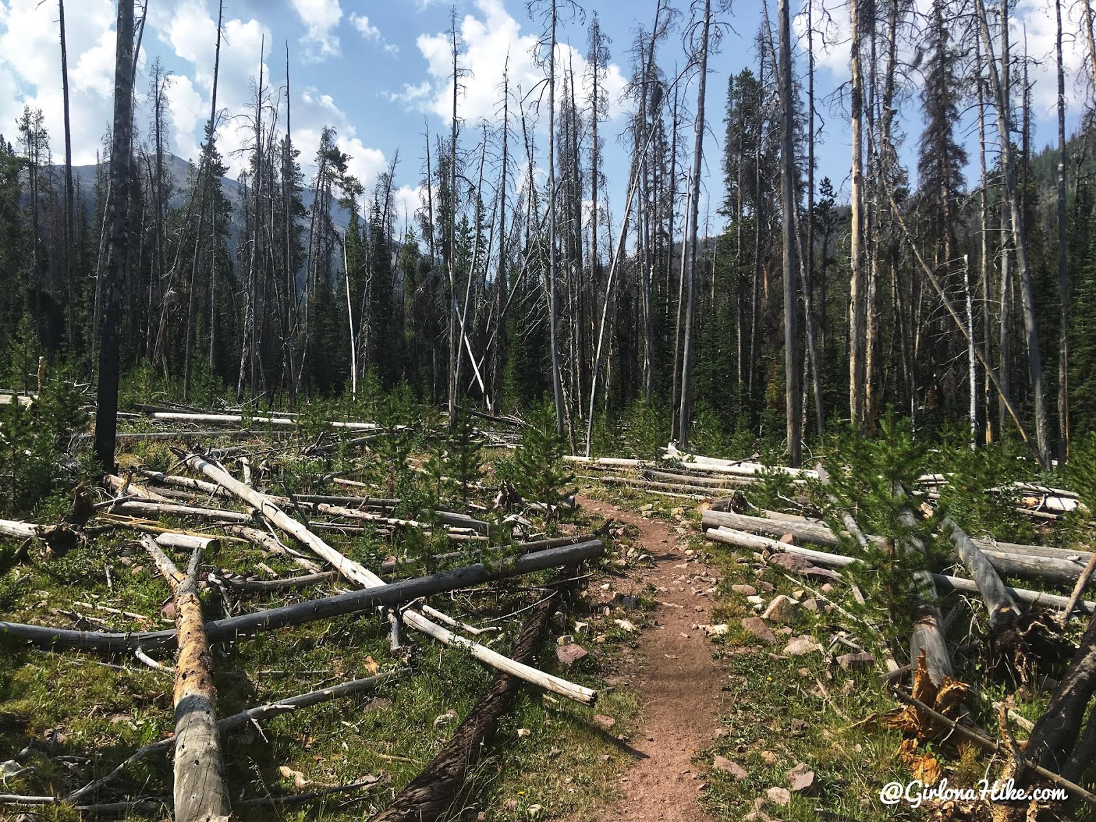
The trail is very mellow the first half of the hike in.
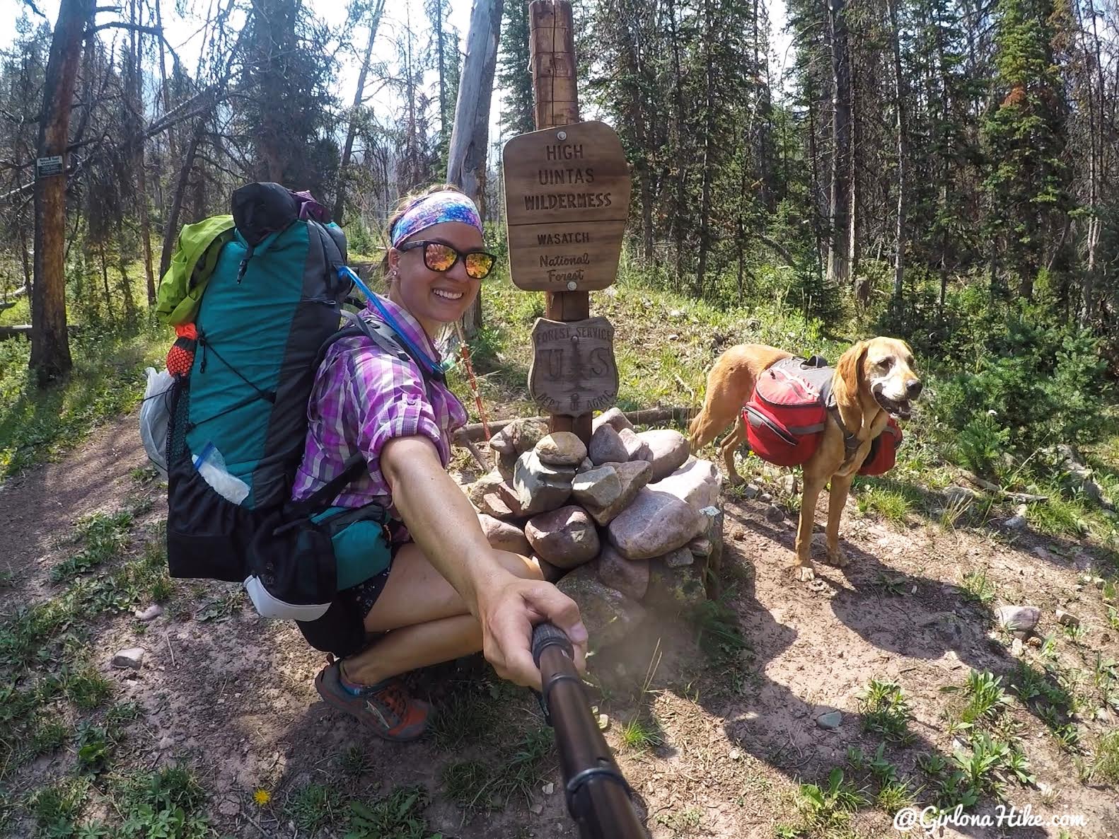
Charlie and I pose at the now updated High Uintas Wilderness sign. If you read my post on Backpacking to Priord Lake, you’ll see the old version of this sign (the two trails follow the same path for the first 3.8 miles).
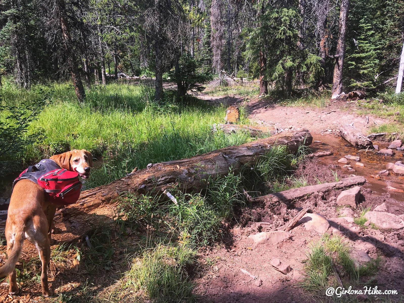
Crossing over a few logs to avoid mud/water pits.
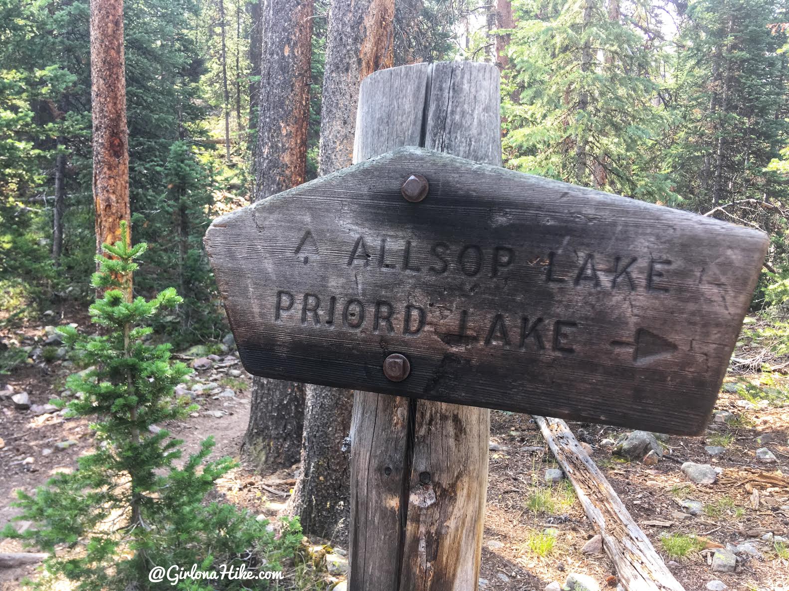
Reach the Allsop/Priord trail split at mile 3.8. Stay left/straight for Allsop Lake. Only 5.2 miles to go!
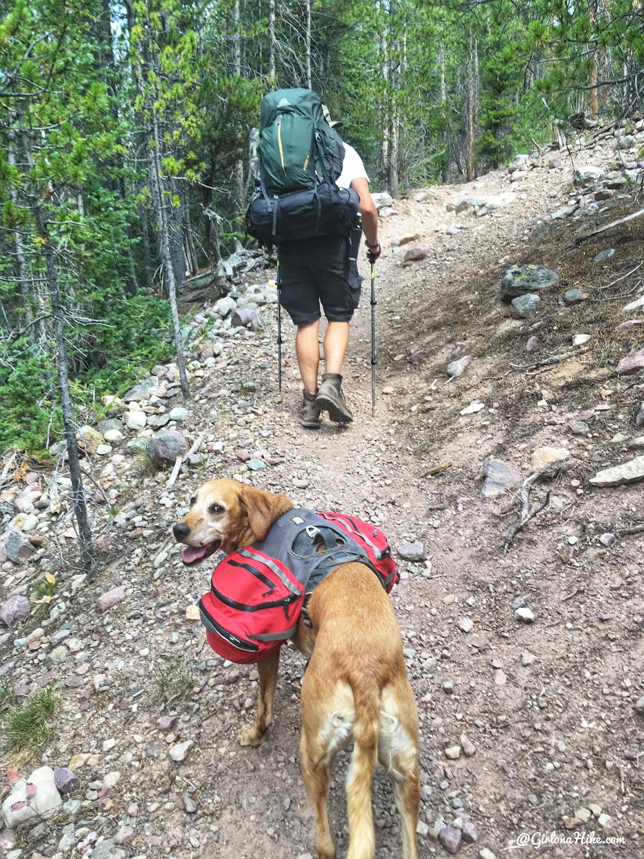
You’ll hike up one switchback after the trail split sign.
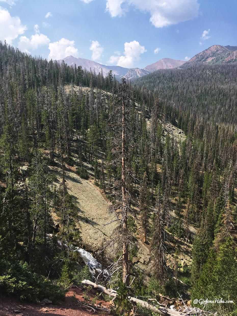
Wow what a view! You can see the waterfall at the bottom of this photo as well, and just around the corner you can be on top of it.
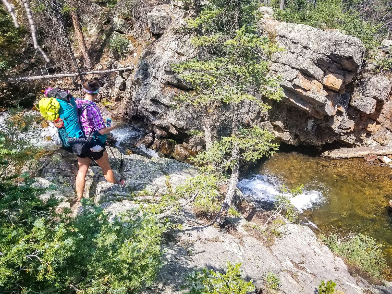
Checking out the top of the falls. Its about halfway and makes for a perfect quick stop.
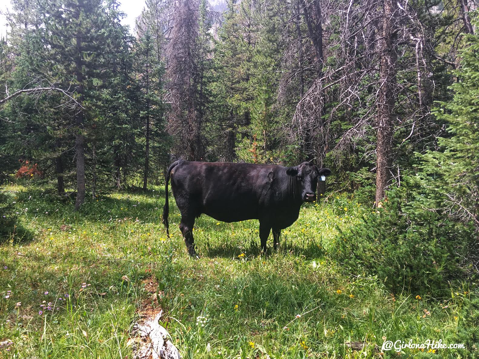
There is free range livestock here, so if you bring a dog make sure you have a leash and keep them from chasing the cows. Charlie doesn’t care about cows, so we kept on hiking with no problem.
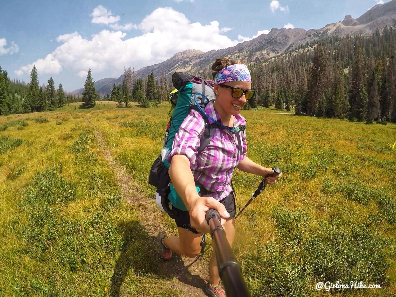
Ahh so nice to be backpacking again! Wondering what pack I’m using? Check out my review on my 50 liter Waymark Gear Co pack! Save 10% off your order HERE using the code “GIRLONAHIKE” at checkout!
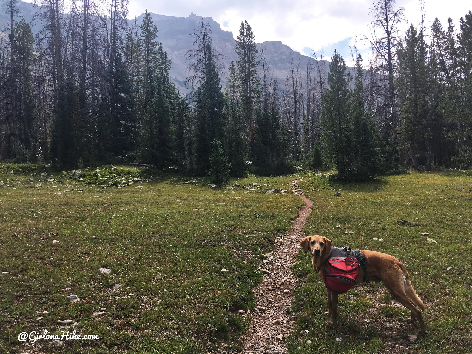
The trail is very easy to follow the whole way up.
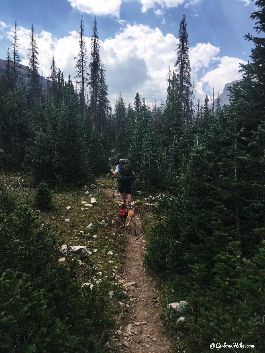
Mike & Charlie lead the way.
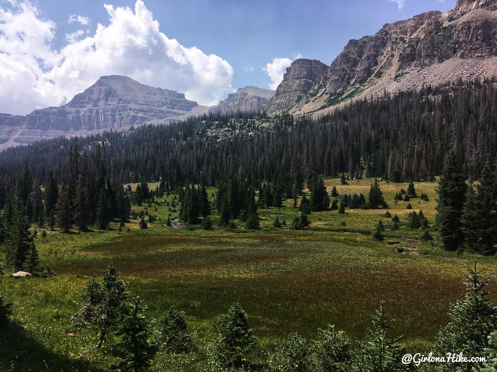
The last 2 miles are very open, and you can clearly see the Western ridge. The peak to the far left is Yard Peak.
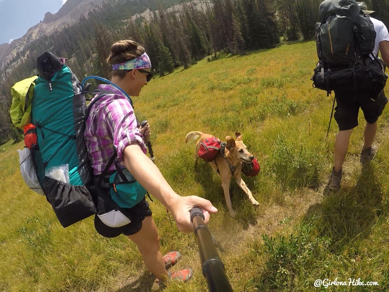 Yahoo, time for zoomies in the meadow!
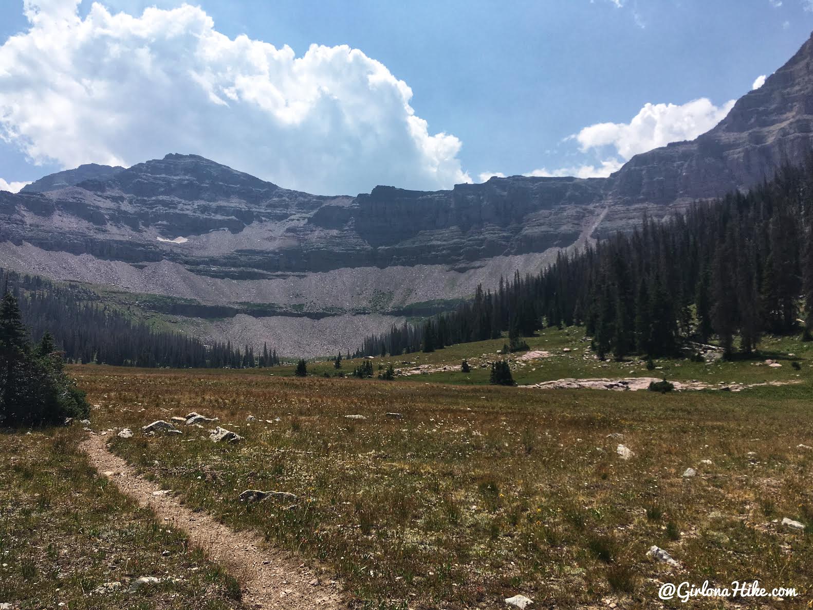
Almost there…
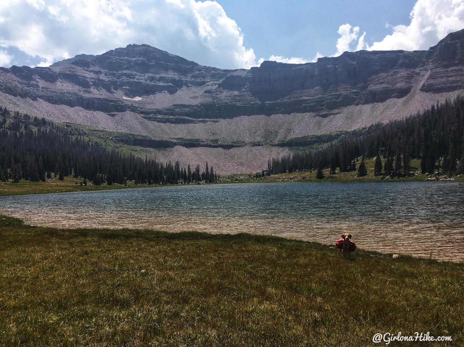
Yay, we reached the lake in 3 hours 40 minutes. Not bad!
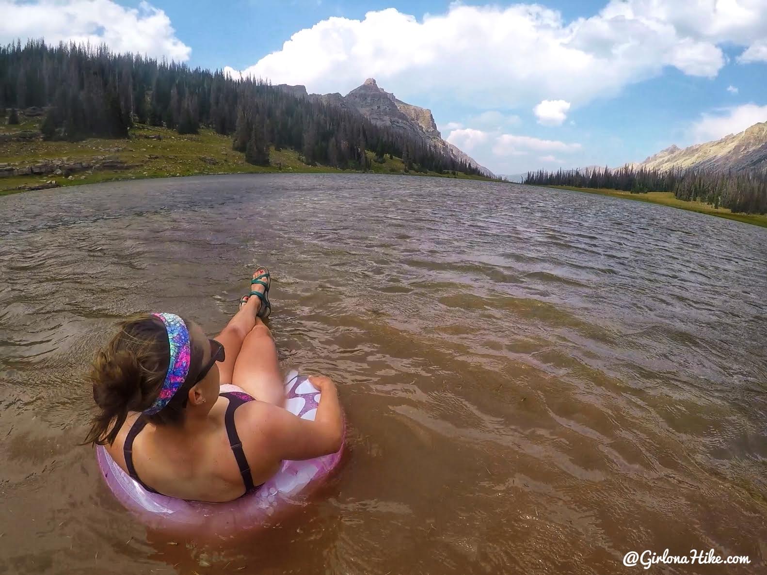
We quickly set up camp so that we could swim before the afternoon thunderstorms arrived. I didn’t carry the pack raft in this time, just my mini floatie. You don’t really need a raft or anything bigger for this lake anyway, it’s really shallow.
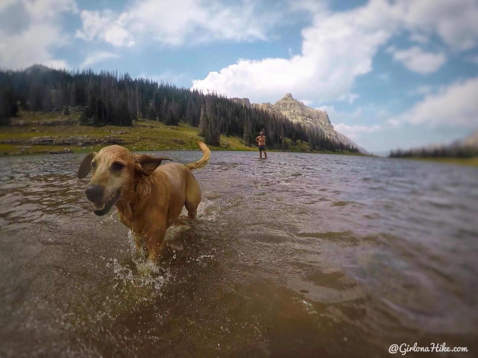
See how shallow it is? Haha! Charlie had a blast running through the lake.
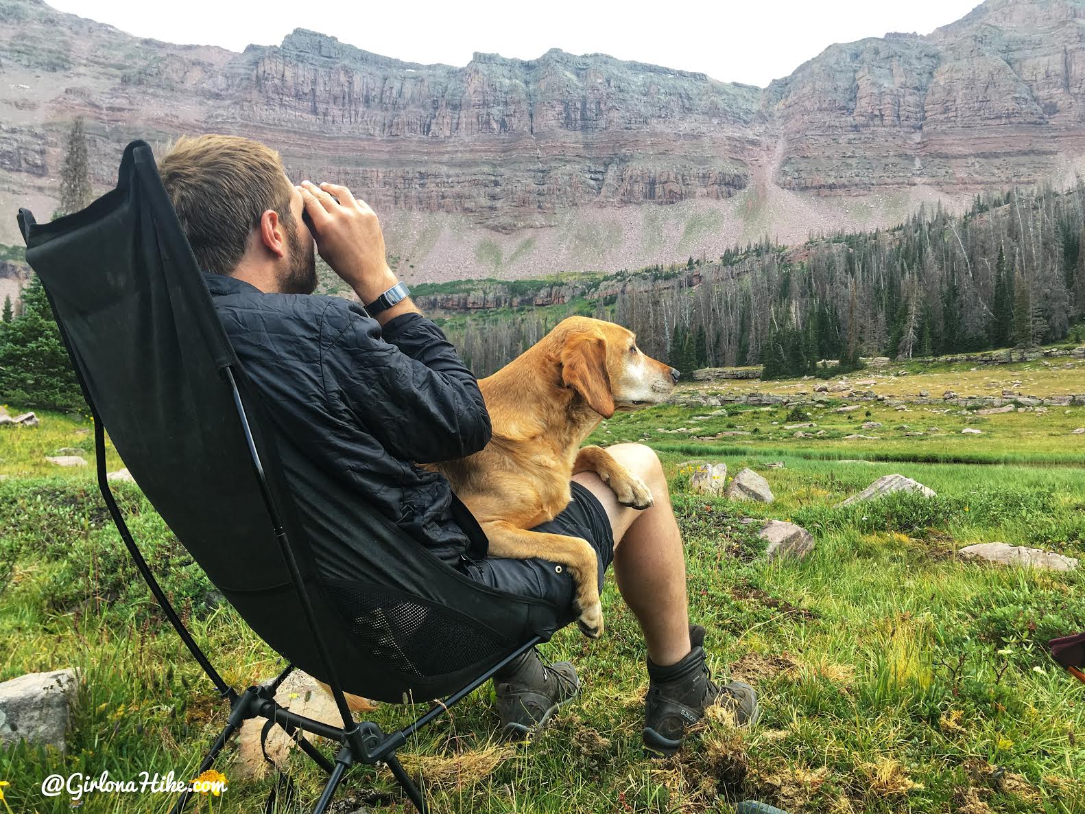
Once it got cold we layered up, and got out the binoculars to search for mountain goats. We saw a family of 4 the entire trip hang out in one spot! Must have been some tasty grass up there.
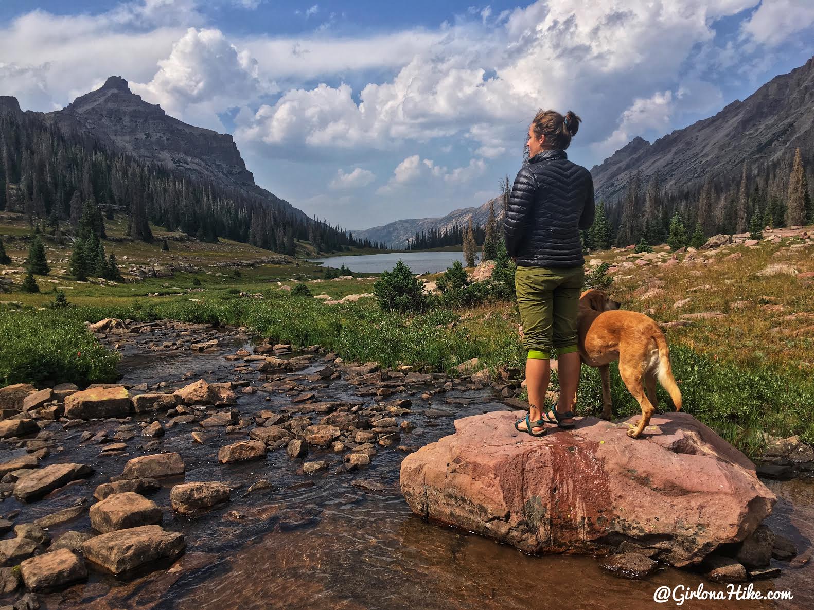
Exploring the basin.
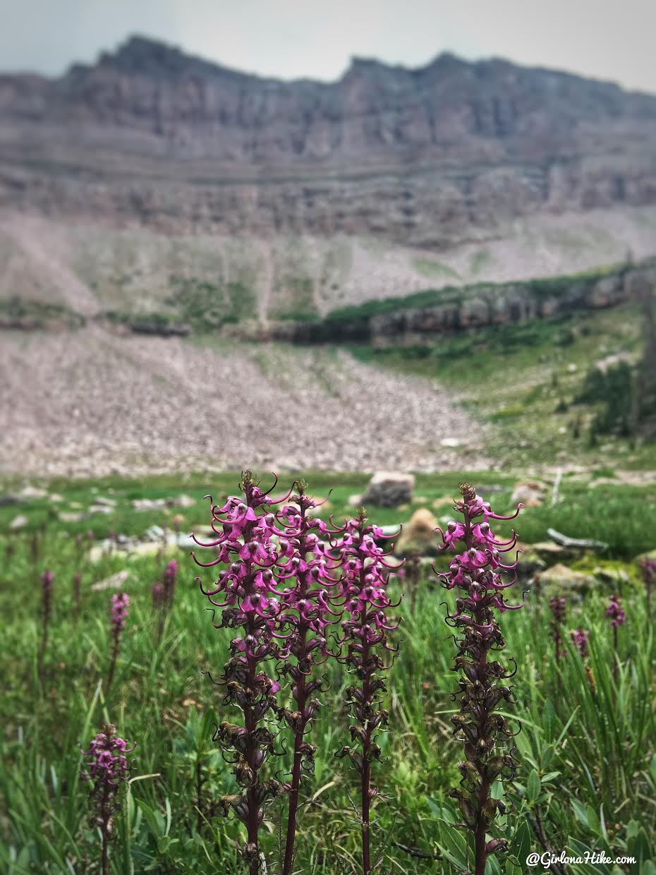
Elephant Ears! Supposedly you can eat these and they taste similar to onions. I didn’t try them myself though!
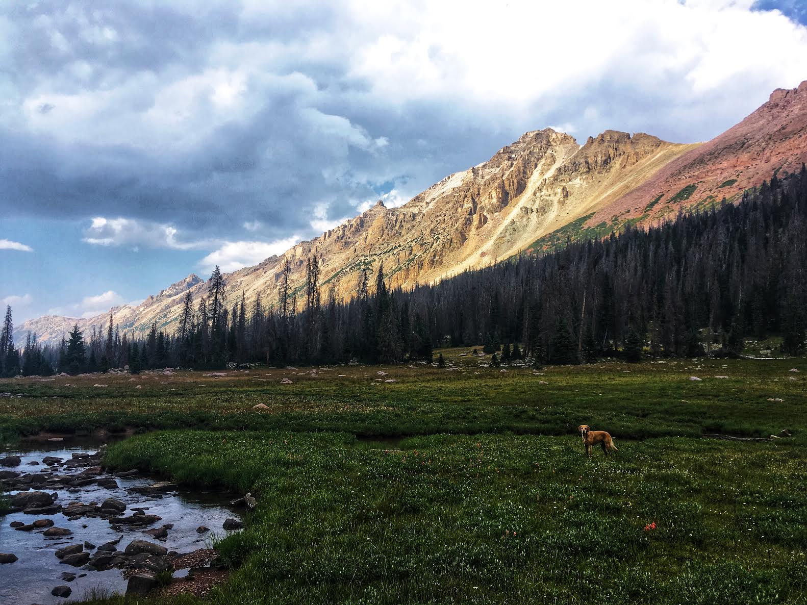
The Eastern Ridgeline at sunset! The peak closest to us is Allsop Peak.
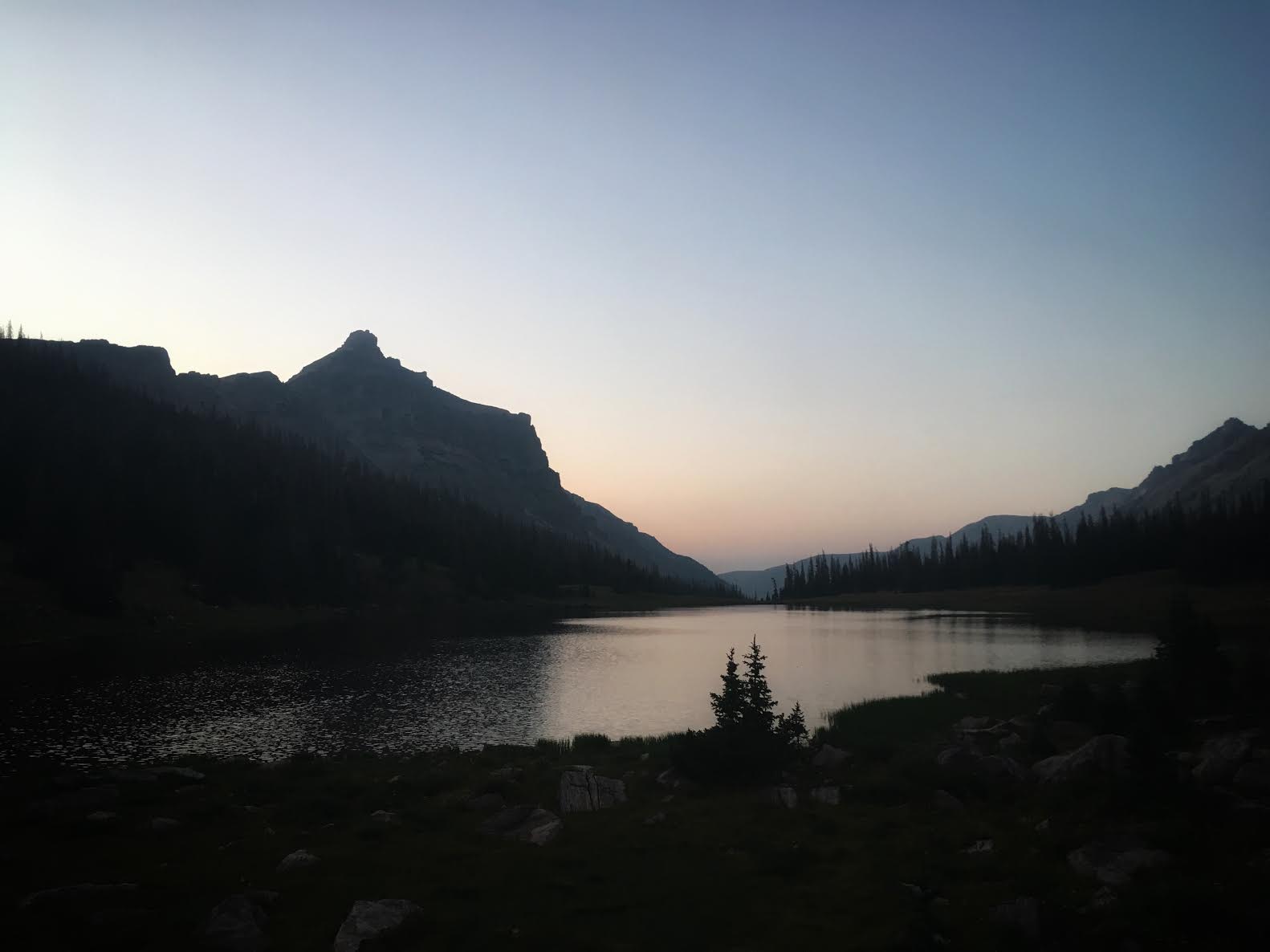
Goodnight!
Day 2
Distance: 2.6 miles RT
Elevation gain: 900 ft
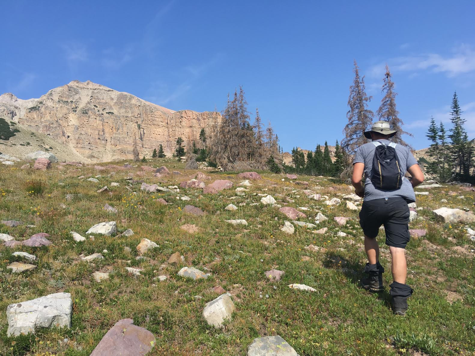
Day 2 we decided to hike up to the Western ridge that separates Allsop from Priord Lake.
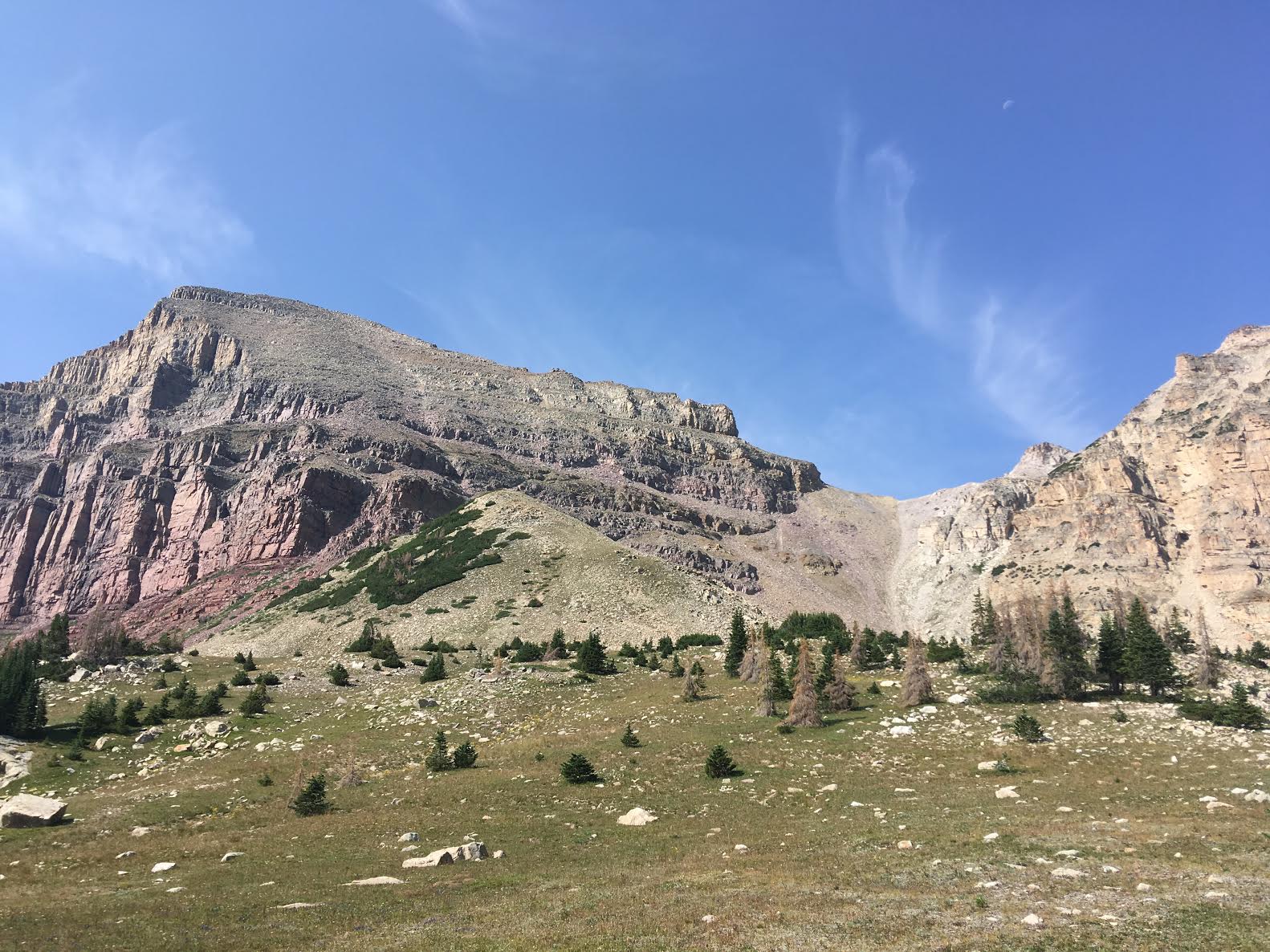
Passing by option 1 – the Yard Peak Pass. This one looked way too steep with loose talus, so we kept hiking. This seems to the be the “easiest” option for summiting Yard Peak though.
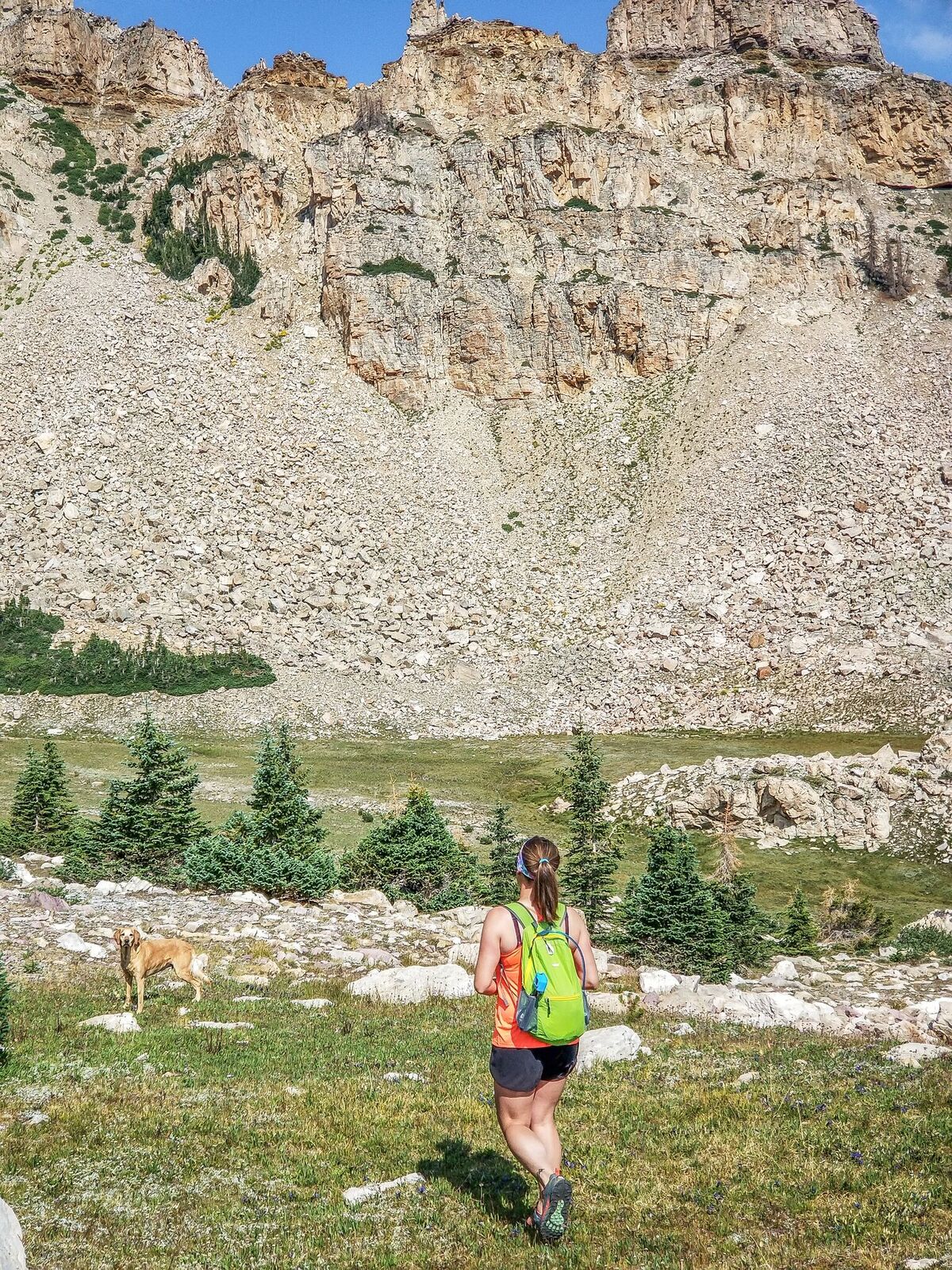
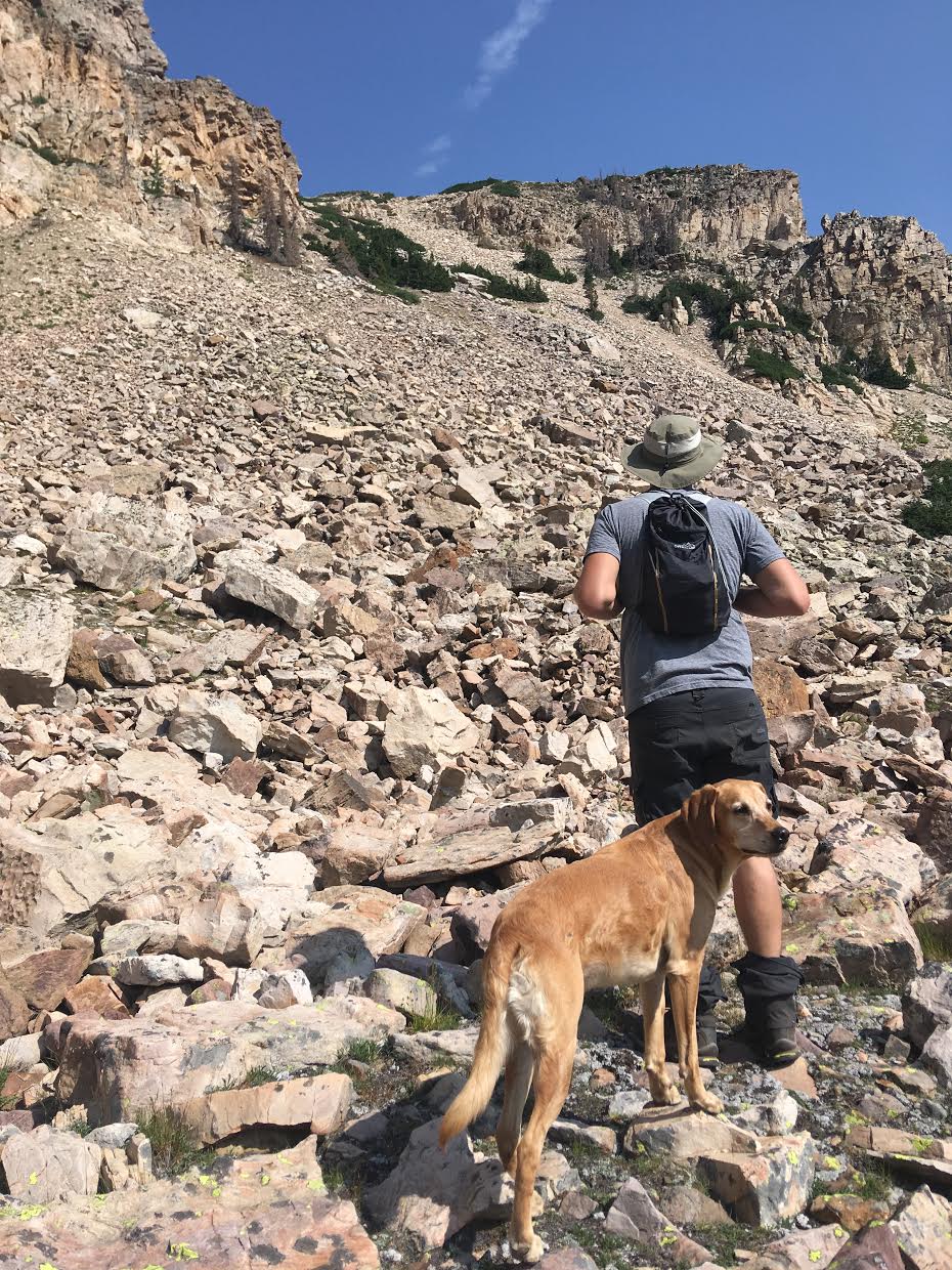
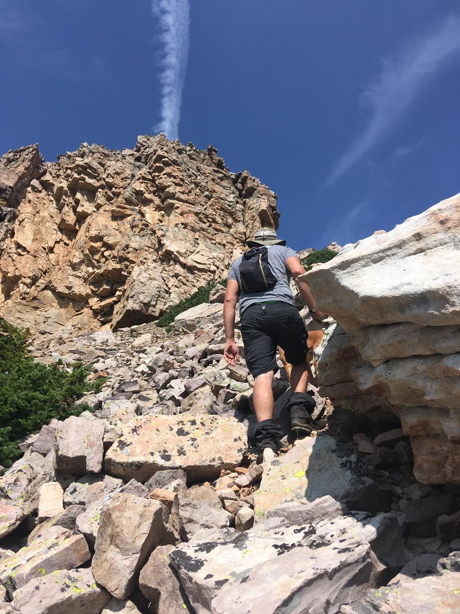
Be careful as a lot of the boulders are not secure.
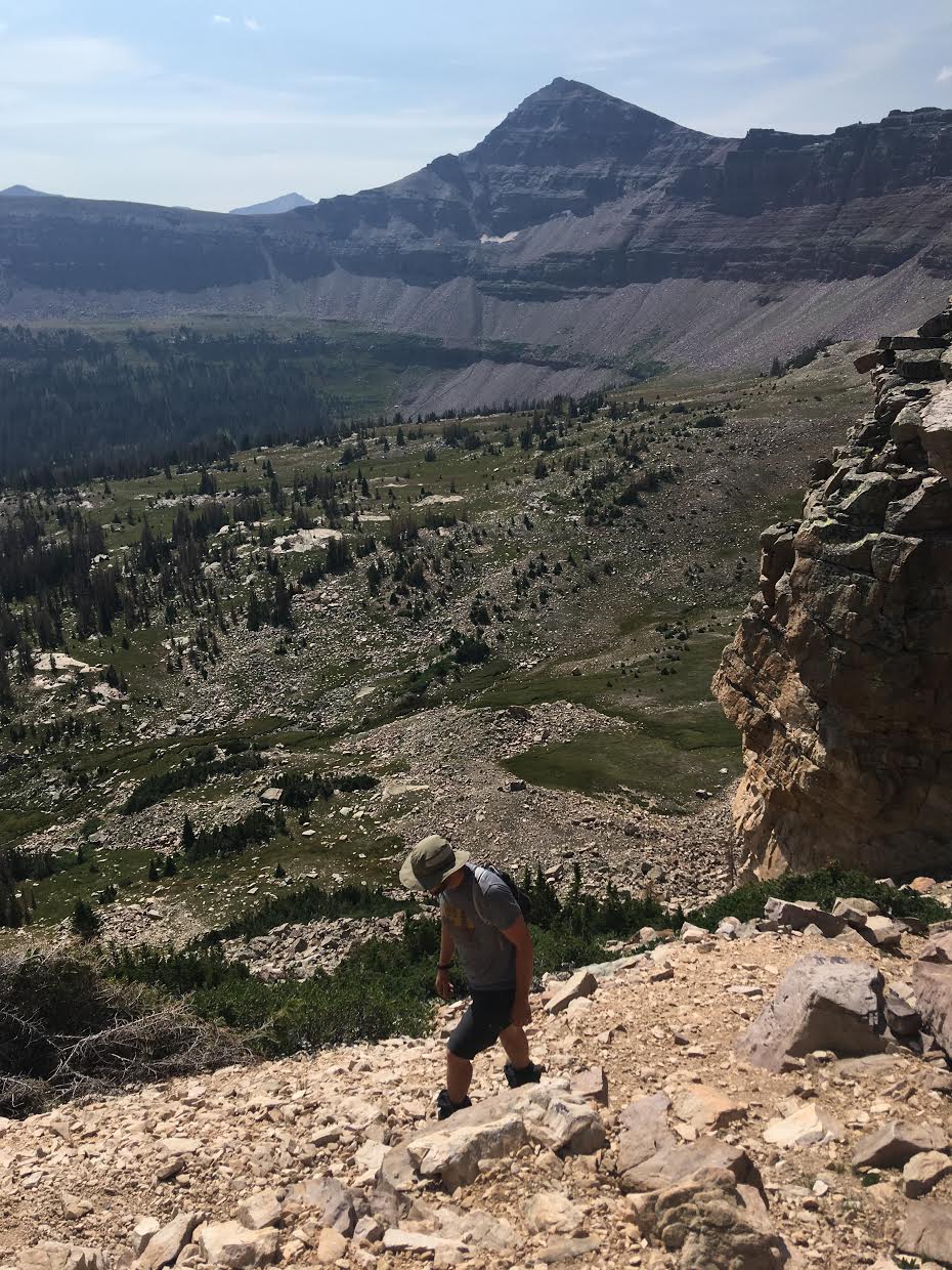
Once you get within 20 feet of the actual ridge you will see a faint switchback to the top.
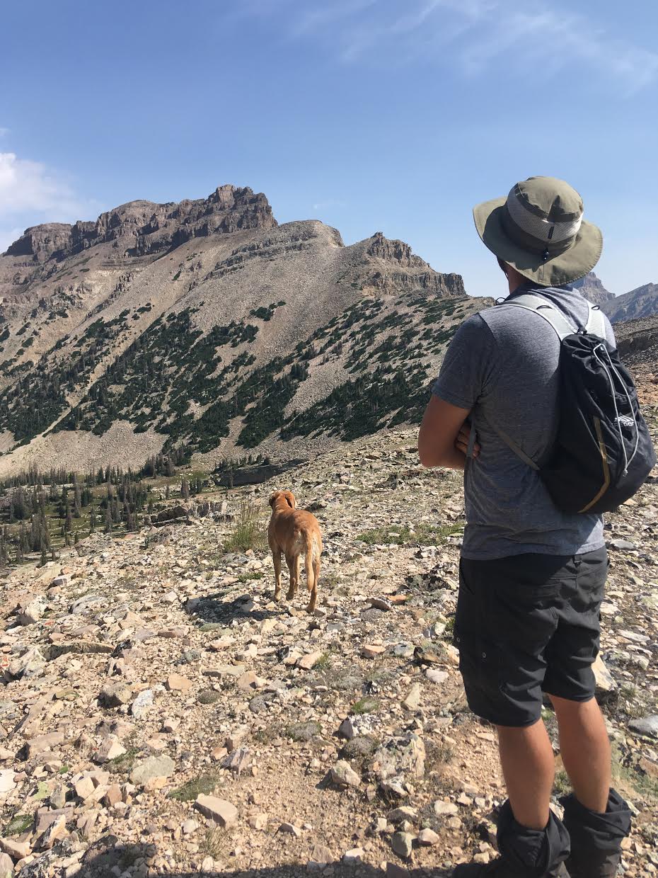
Once on the ridge, we hiked right (North) along the ridge. Mike takes in the view of Cathedral Peak.
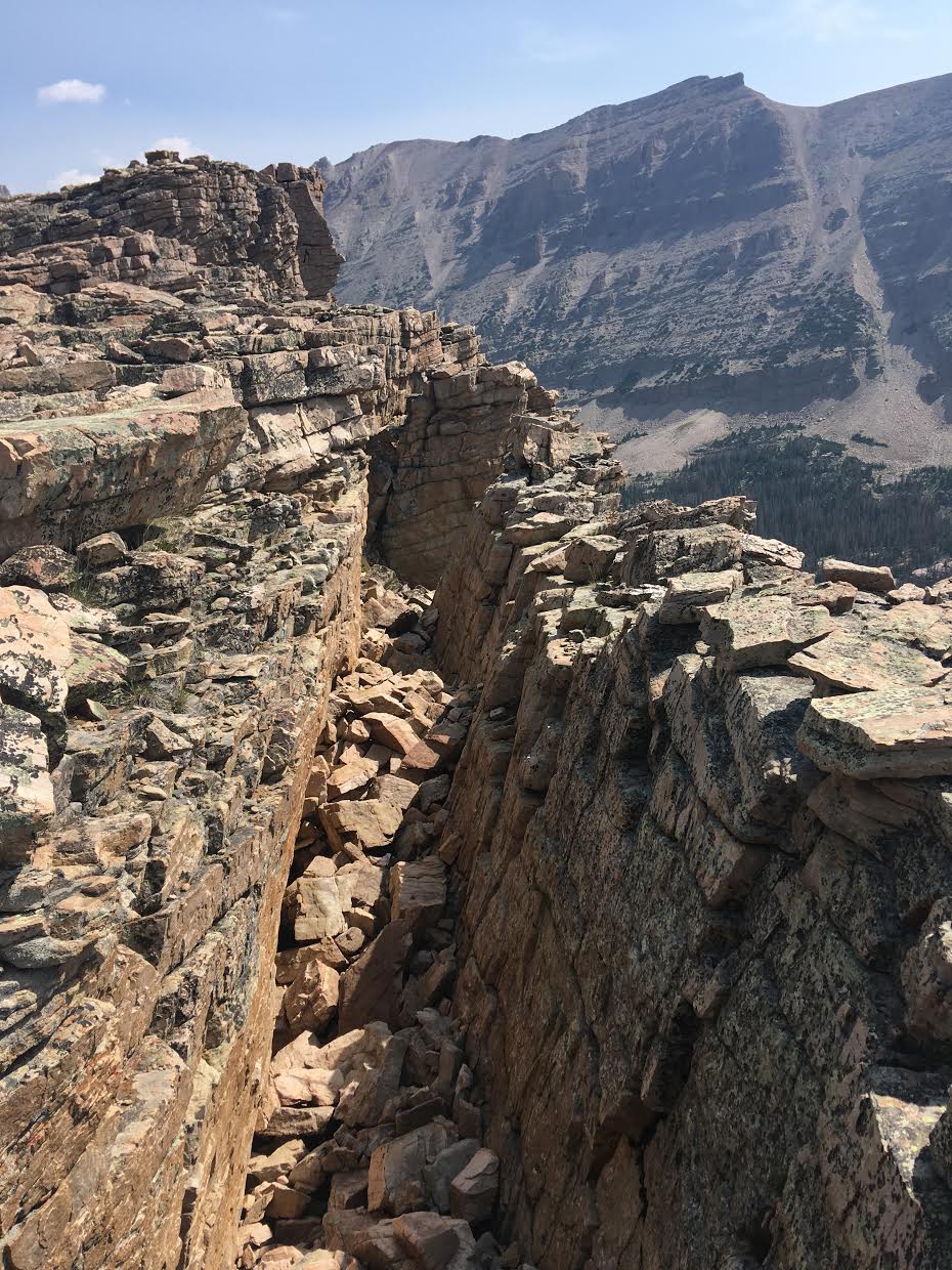
This was pretty cool. This whole shelf of a rock slab was completely leaning out! The gap in between was about 6-7 feet.
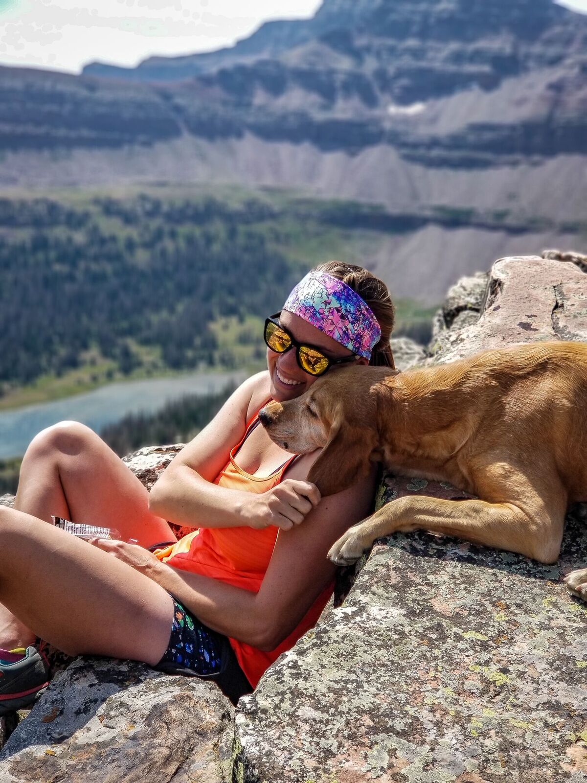
Charlie takes his usual summit nap, this time on my shoulder.
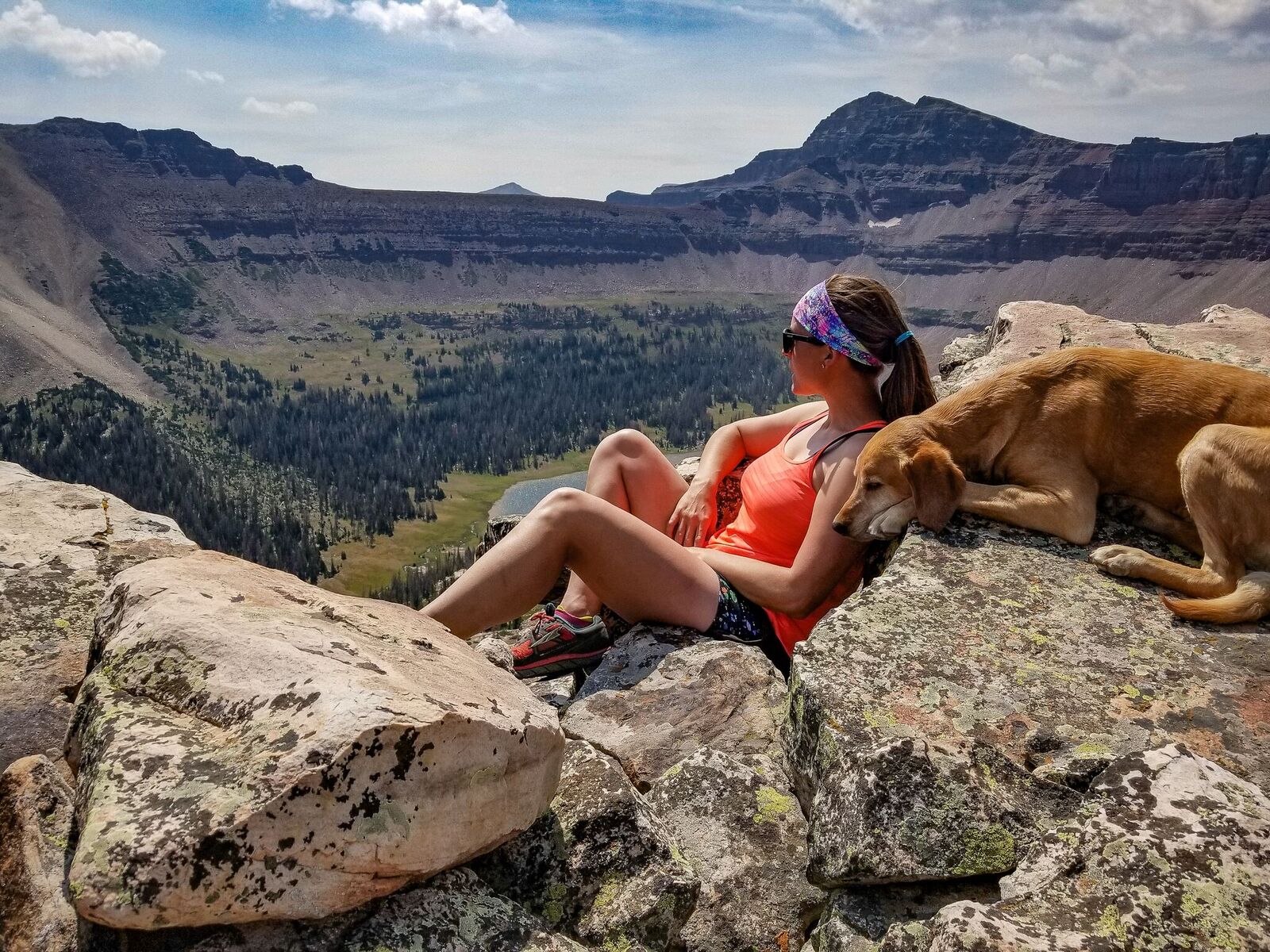
Taking in the view of Allsop Lake below.
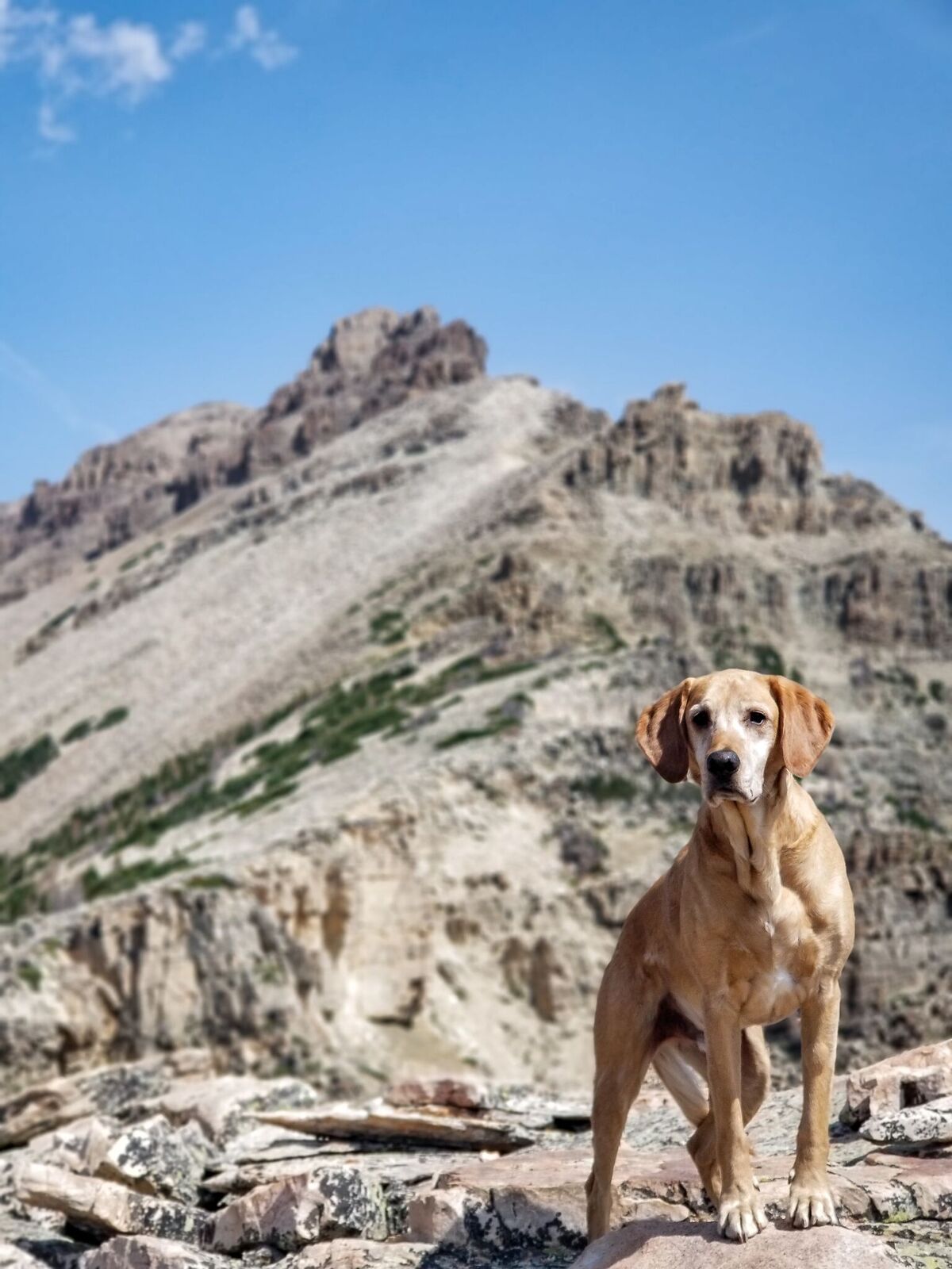
Charlie below Cathedral Peak.
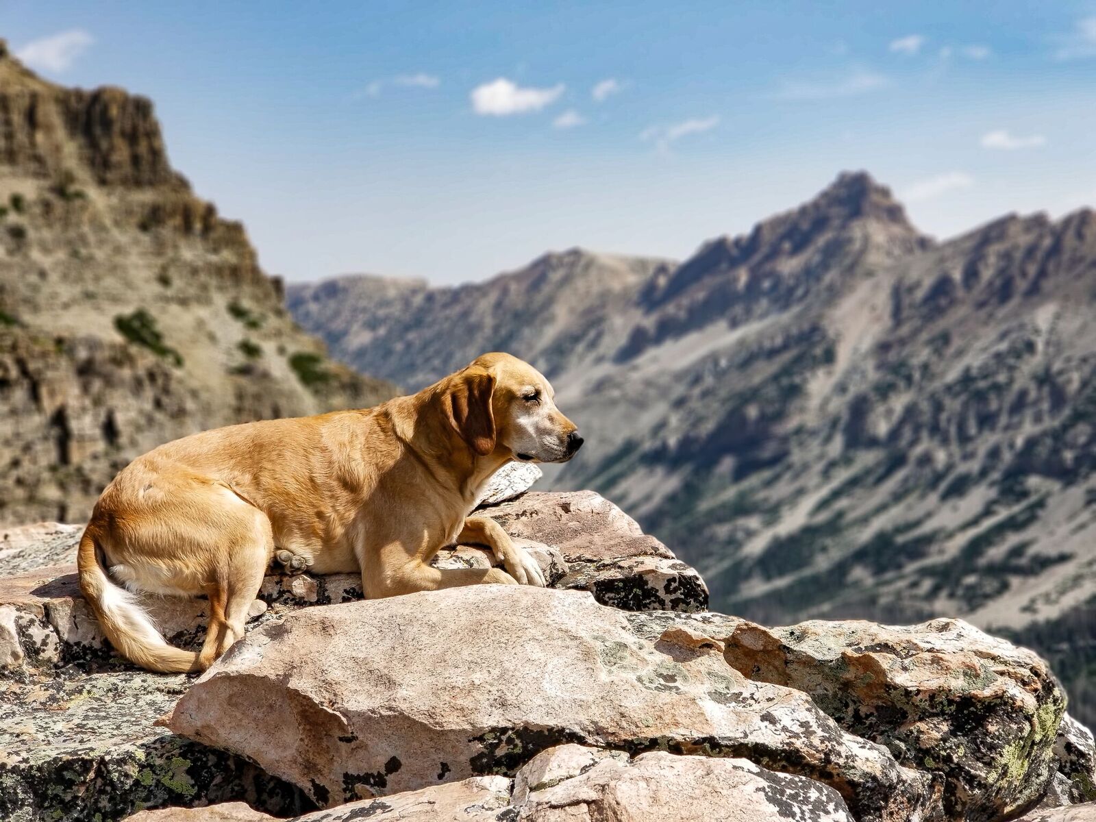
Charlie with Mt. Beulah in the distance, a popular summit for peak baggers.
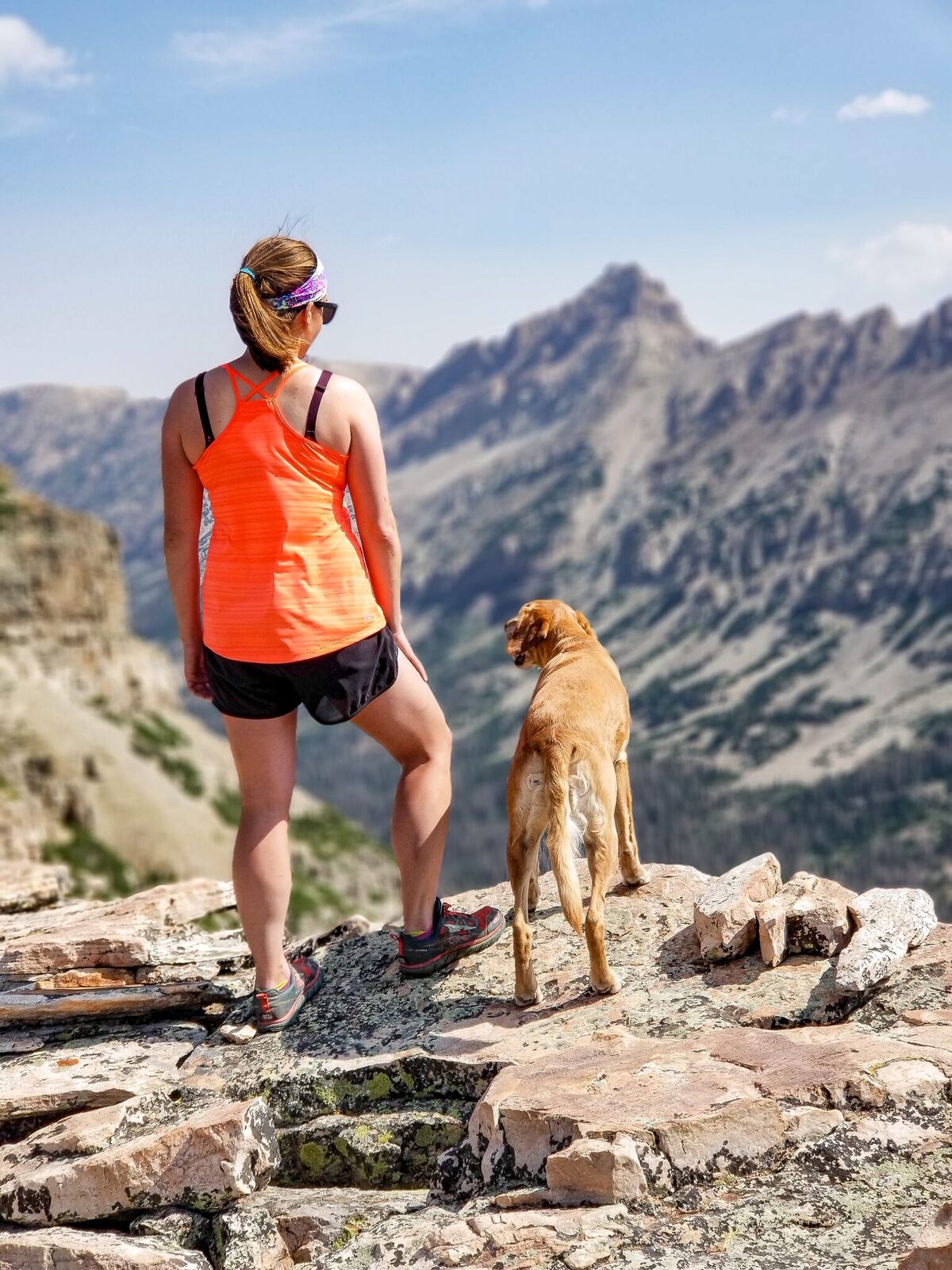
Mama/doggie time in the mountains is the best!
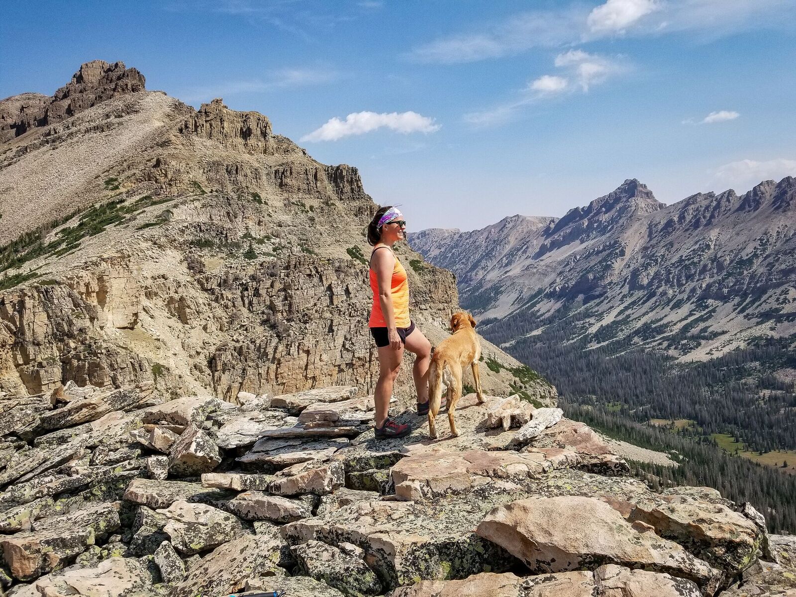
On the ridge, with Cathedral on the left, Beulah on the right.
We thought about hiking up to Cathedral Peak, but we could see our friends hiking up to meet us at Allsop Lake, we just didn’t have time nor was I super motivated to summit it. It seems fairly “easy” though, just from looking at it from here.
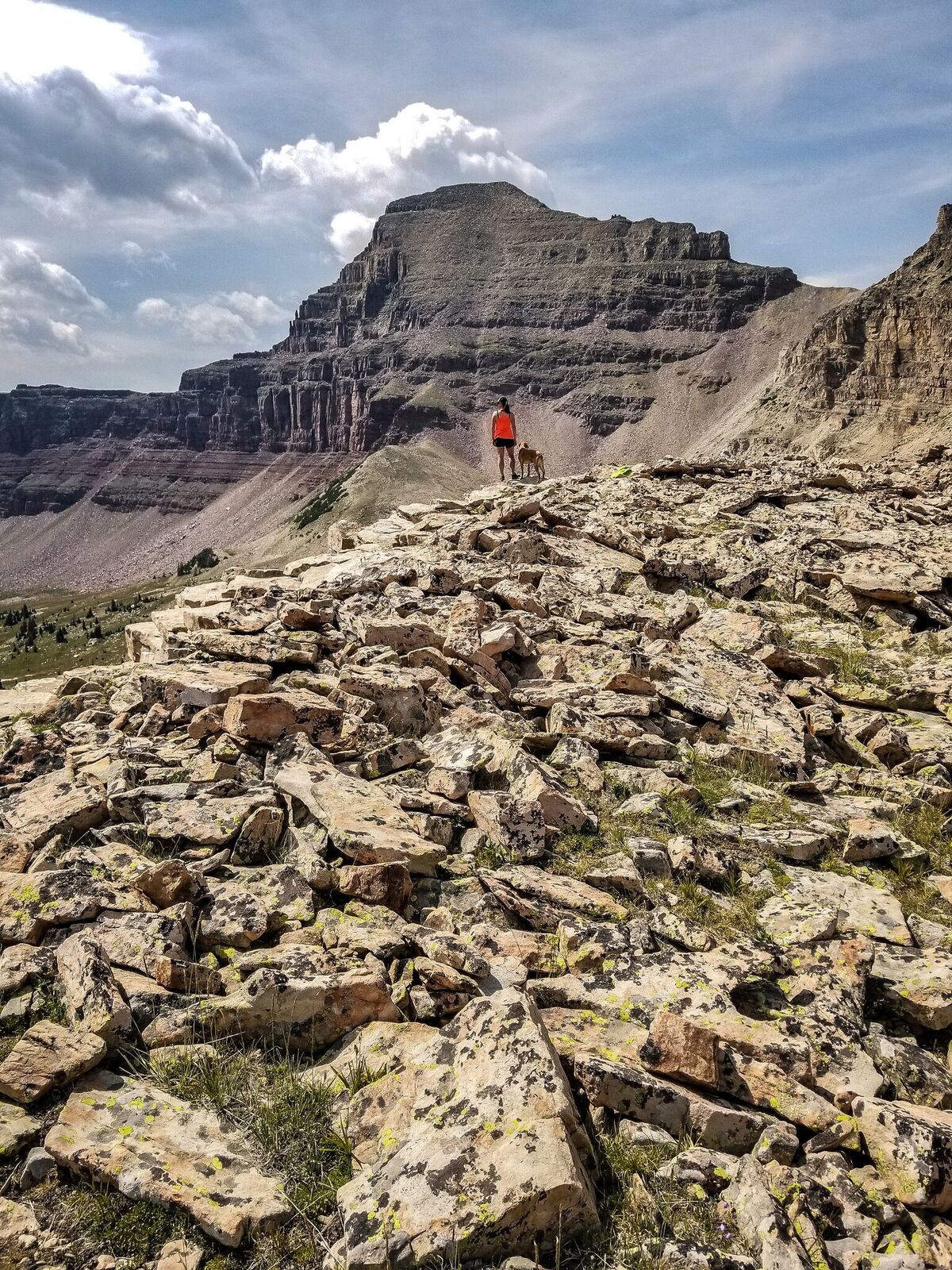
Headed back down, with a stop to look at Yard Peak to the South.
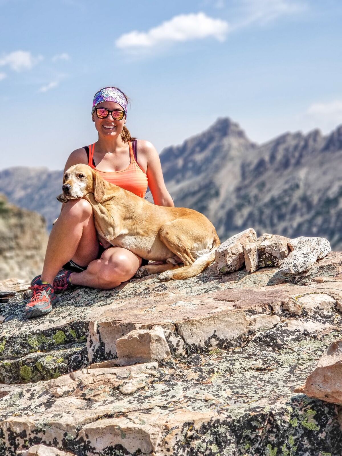
One of my favorite photos from this trip! Love this little guy!
Shoutout to @mountaintopmike for all the great photos!
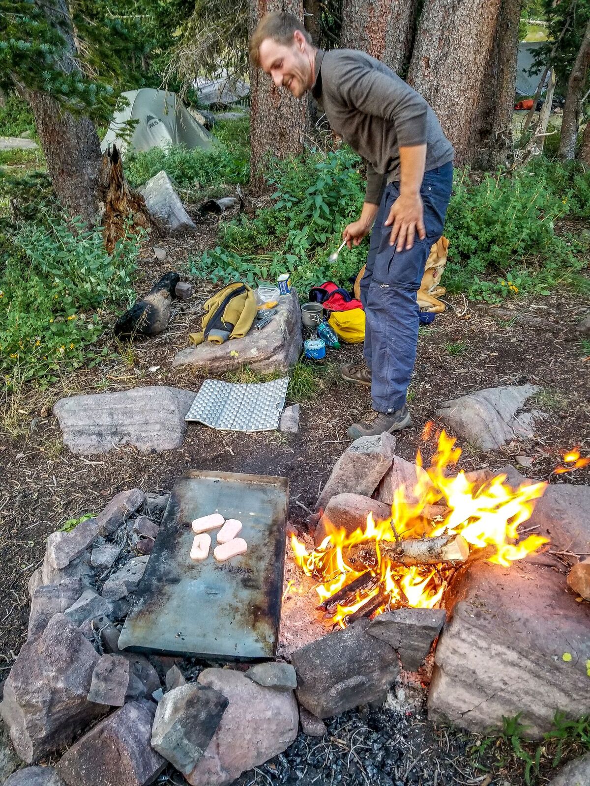
Fried spam slices for dinner anyone? Simon cooks himself an unusual dinner with an old pan we found.
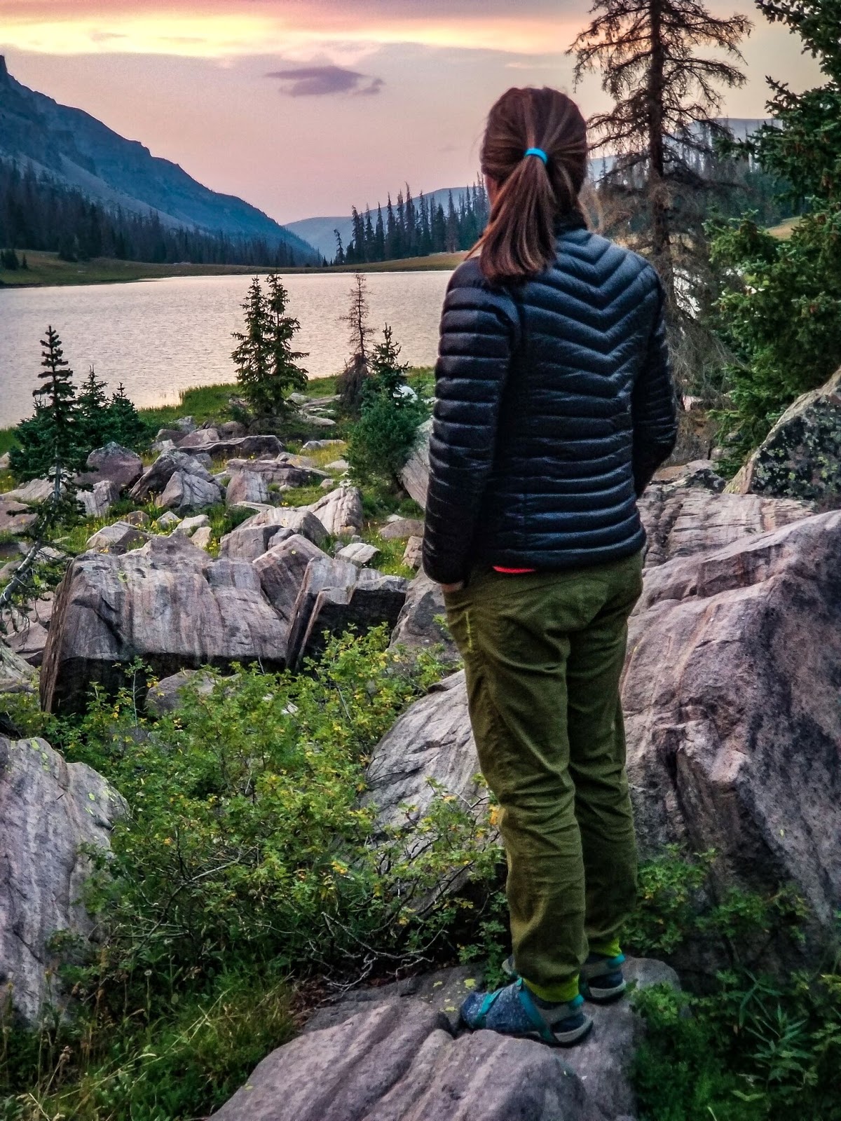
An amazing sunset!
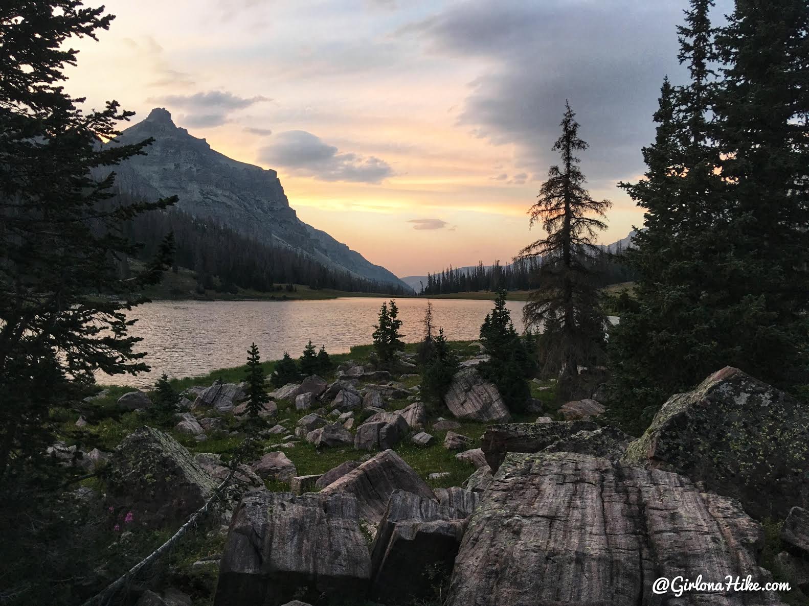
Good night day 2!
Day 3 we took our time to pack up, fished a little, and headed home! Another great trip in the books!
Check out my friends new YouTube channel!
He made this awesome video of our trip to Allsop Lake.
Trail Map
My track via Gaia GPS – the best tracking app! Get your app here for a discount.
Nearby Hike
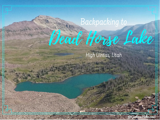
Backpacking to Dead Horse Lake, Uintas

Save me on Pinterest!
