About
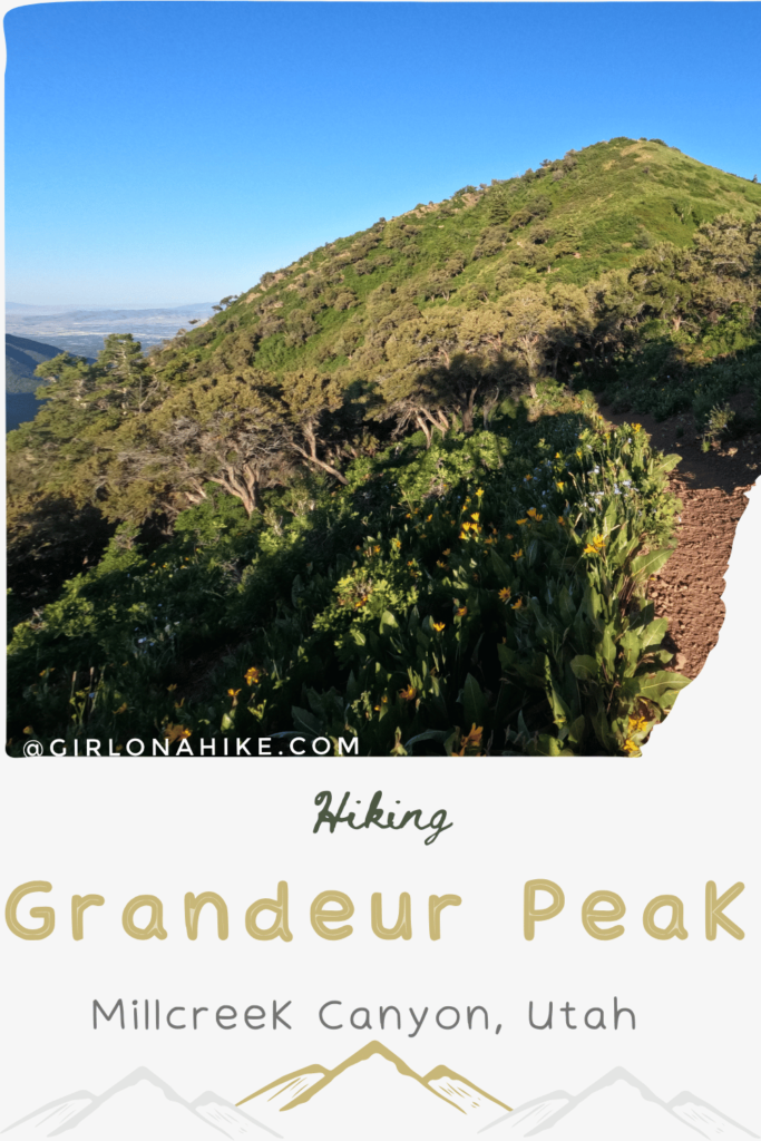
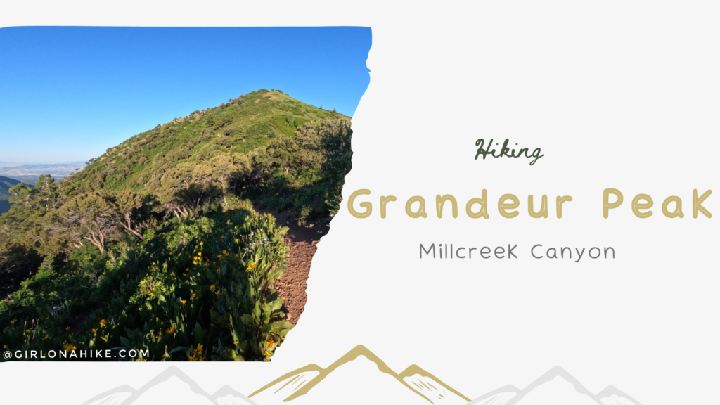
Grandeur Peak is also a perfect intro to Peak Bagging – the fairly short trail with a moderate elevation gain makes it one of the easier peaks to summit with little effort (compared to some of the other peaks in the area). For beginner hikers, this may be considered a tough hike because Peak Baggers consider it easy – it is only 6 miles round trip and gains 2,900 ft elevation.
Directions
From SLC, head East on I-80, then take I-215 South. Take exit 4, then turn left. Turn left again onto Wasatch Blvd. At the next light, turn right, which will put you into Millcreek Canyon. Drive up the canyon until you reach the Church Fork sign, pointing left. This is where you’ll need to park. The gate up the hill to the official TH is closed from Nov 1 – July 1. In Summer months, the gate opens at 8am, which you could then drive up to the TH. However, every time I’ve hiked here I’ve never been lucky enough to get a parking spot at the TH. In this case, park at the gate, then simply walk up the road to the TH. The restrooms are locked during winter.
Here’s a driving map.
Trail Info
Distance: 6 miles RT
Elevation gain: 2,900 ft
Time: 3-5 hours
Dog friendly? Yes. Dogs are allowed off leash on odd days; dogs must be leashed on even days.
Kid friendly? Yes
Fees/Permits? There is a $5 fee upon exit, or FREE if you buy the Annual Millcreek Pass ($50). Millcreek Canyon does NOT accept the National Park Pass, American Fork Pass, nor the Mirror Lake Highway pass. No permit is required to hike this trail.
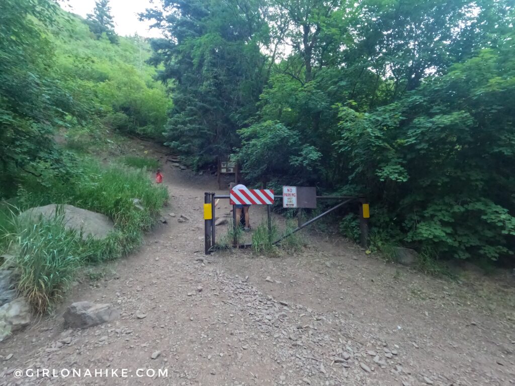
Most of the time you’ll need to park on either side of the Millcreek Canyon road, then walk up the road to the trailhead. This is where it officially starts but there’s only parking for 7 cars so its hard to get. Plus, they don’t open the gate until typically 8am. I like to start before 6am in the summer so I just plan on the extra mileage.
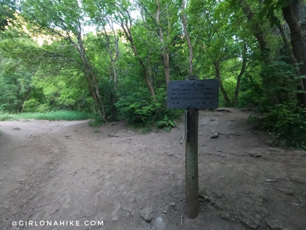
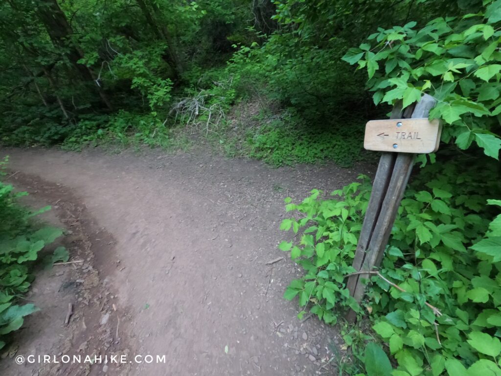
At the 4-way intersection, you’ll want to continue straight.
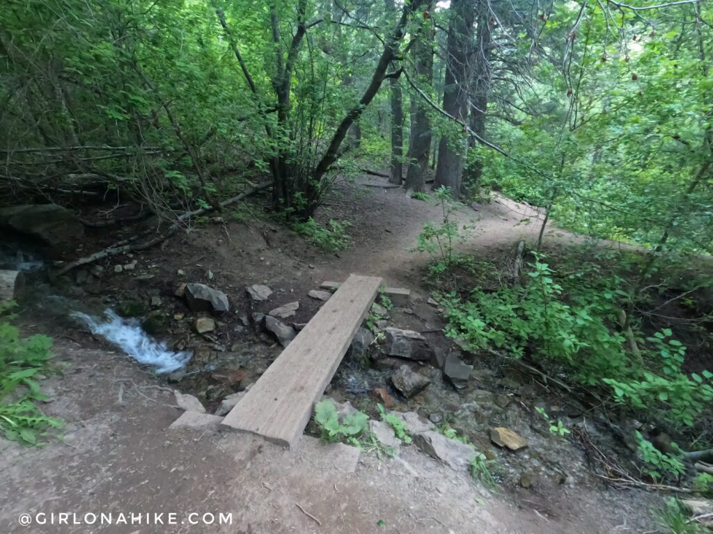
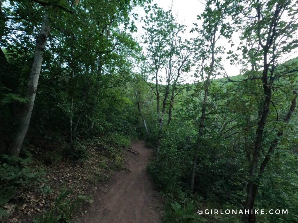
The lower section of the trail is very well shaded and a stream runs along the right side. Perfect for the dogs to drink from!
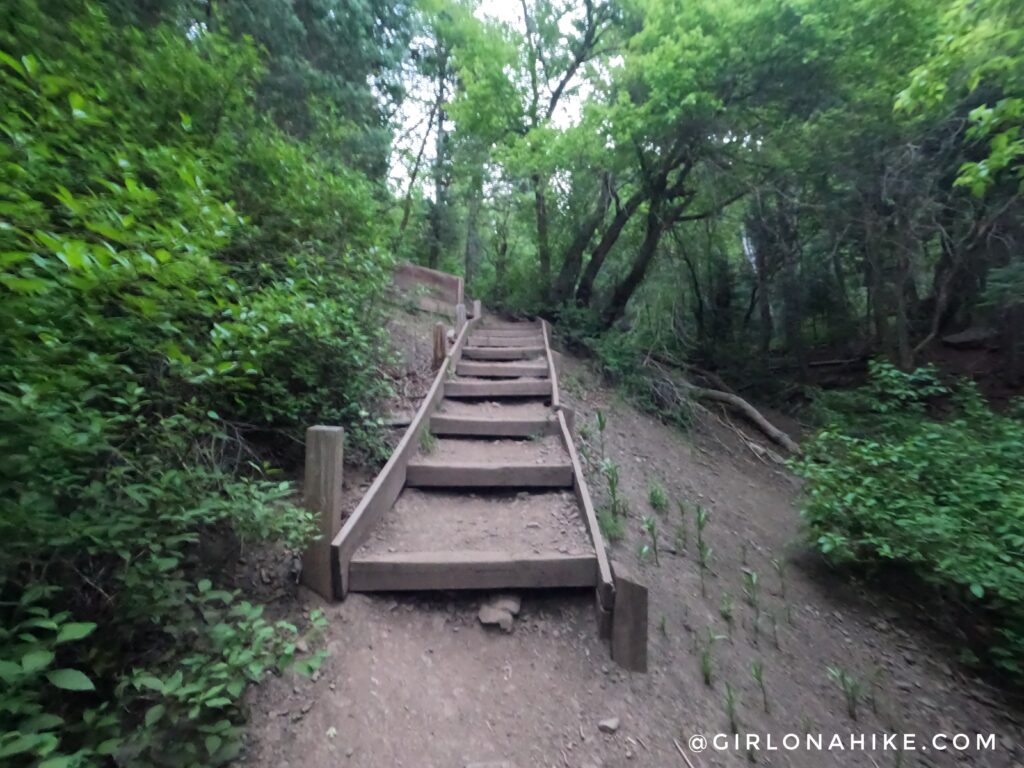
At 0.9 miles climb up stairs.
Eventually the Grandeur Peak Trail takes a hard left and you will now be hiking up switchbacks. This is usually the last water stop for dogs (not pictured).
At first the lower switchbacks are shaded.
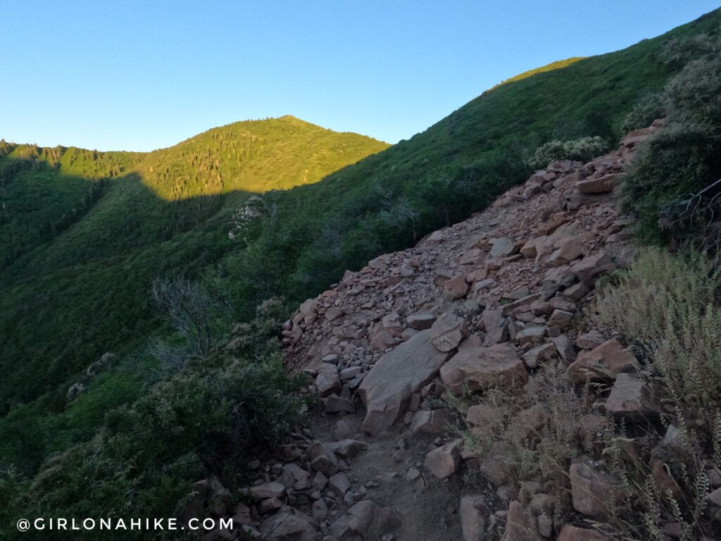
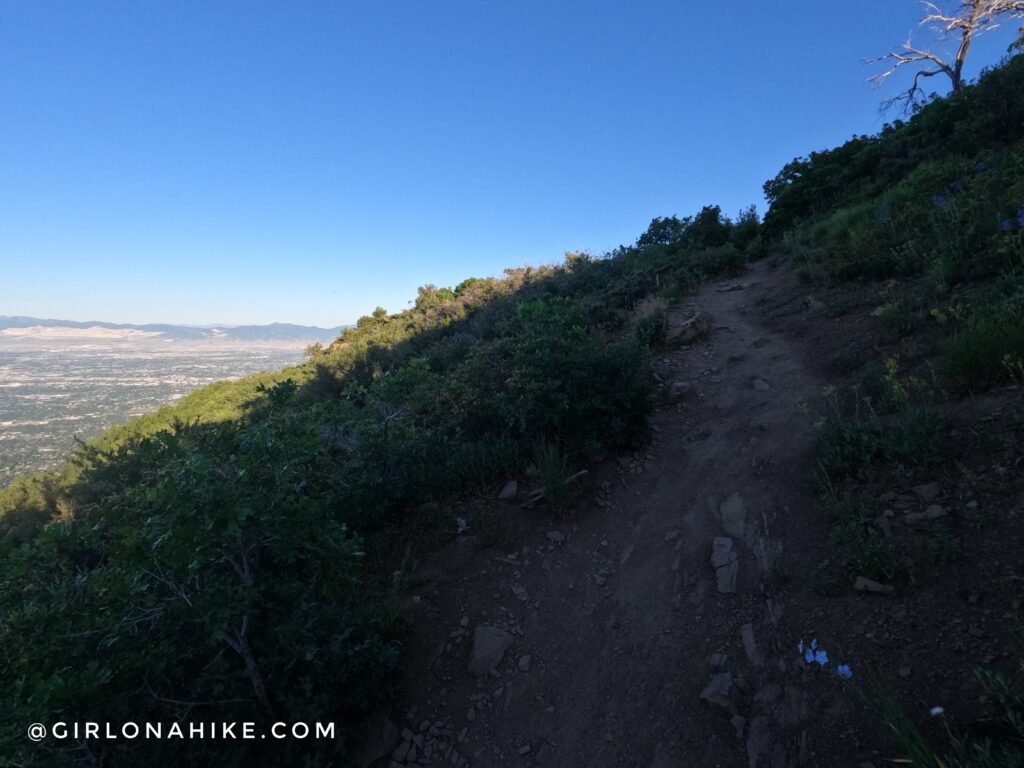
For the upper half switchbacks you’ll now be fully exposed to the sun. It was still shaded when I took this because it was only 6-630am! Cross the rocky area.
Looking across Millcreek Canyon to Thaynes Canyon Peak, and the two peaks in the back with snow on them are Gobblers Knob & Mt. Raymond (which are both best accessed via Big Cottonwood Canyon).
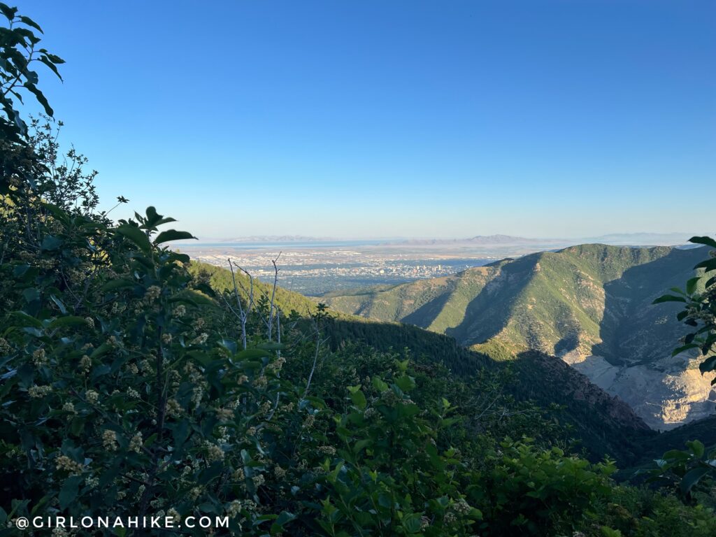
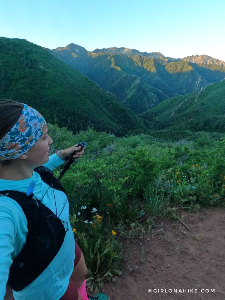
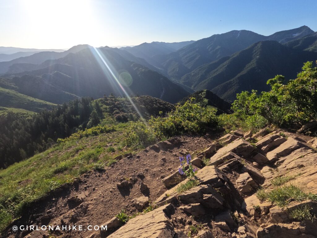
Once you reach the saddle, you can go to this little overlook, which looks down into Parley’s Canyon and the SLC Valley.
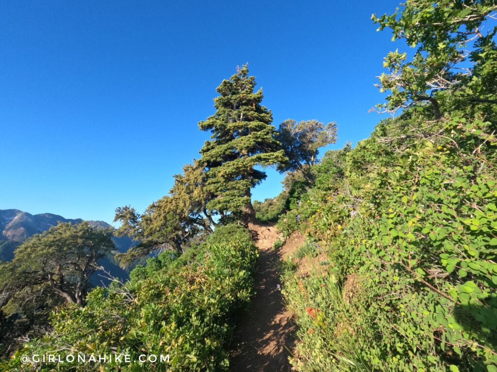
The trail begins to get steeper.
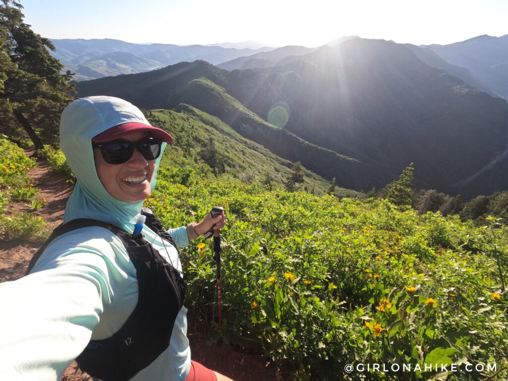
Whew, who turned the heat on? Even by 8am in summer this trail gets super hot! Sun hoodies are the way to go.
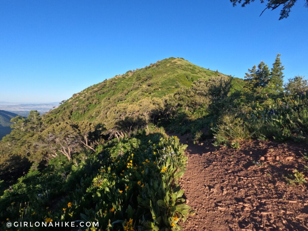
Finally, a perfect view of Grandeur Peak.
The trail wraps around the south, then north side of the peak before finally reaching the summit.
On the summit, looking East into Millcreek Canyon. What a pretty morning! I was on the peak by 7:15am.
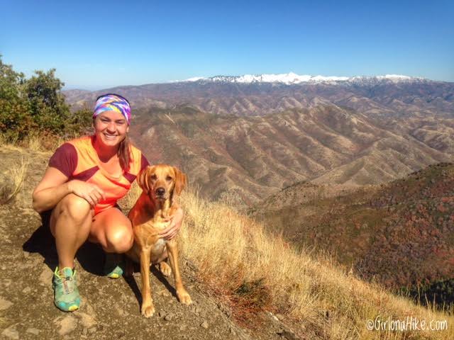
On the summit, looking North. I believe this photo was from 2014 back when Charlie was a young pup and could do this with me.
The white peak in the distance is Grandview Peak.
Trail Map
My track via Gaia GPS – the best tracking app! Get your app here for a discount.
Nearby Hike
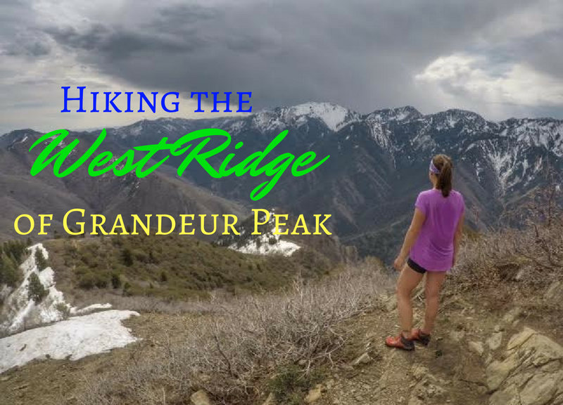
For a more challenging route, hike The West Ridge to Grandeur Peak!

Save me on Pinterest!