
Elbow Fork in Millcreek Canyon is a popular trailhead for Mt. Aire, the Pipeline, and for accessing Lambs Canyon Pass, the dog-friendly way. Many people chose to hike up to Lamb’s Canyon Pass via Lamb’s Canyon, however that section of trail is part of the SLC Watershed, and dogs are not allowed.
About
Going from Millcreek Canyon allows you to bring your dog, still access the ridge, and get great views. My favorite time of year to hike here is Fall, but it’s accessible year-round. In Winter the hike will add on an additional 1.5 miles one way, since the winter gate is closed. There is one stream crossing over a bridge, and the dogs love to stop here for a drink. Otherwise the trail is dry and steep, but well-shaded.
Directions
From SLC head East on I-80, then south on 1-215. Take exit 4, and turn left at the bottom of the exit ramp. Turn left on Wasatch Blvd, then right for Millcreek Canyon. Drive 6 miles up this road until you reach Elbow Fork – park here. Keep in mind that the winter gate is only open from July 1 – October 31. You can still do this hike in winter, but will add an additional 1.5 miles one way.
Here’s a driving map.
Trail Info
Distance: 3.2 miles RT
Elevation gain: 1,300 ft
Time: 1- 3 hours
Dog friendly?
Yes, off leash on ODD days. Dogs must be leased on EVEN days.
Kid friendly? Yes, but it may be steep for little kids.
Fees/Permits? There is a $5 fee upon exit, or FREE if you buy the Annual Millcreek Pass ($50). Millcreek Canyon does NOT accept the National Park Pass, American Fork Pass, nor the Mirror Lake Highway pass. No permit is required to hike this trail.
The trail starts at the Elbow Fork TH, which is the same for Mt. Aire. Turn right at the first trail split.
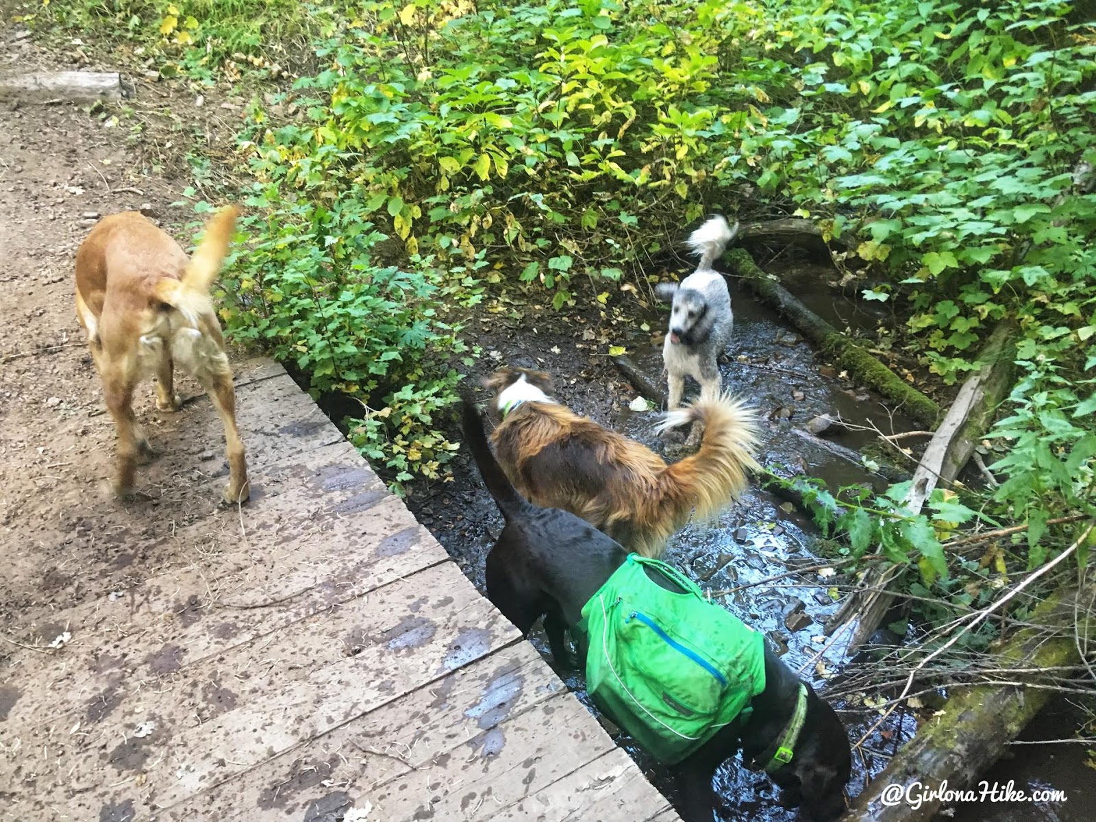
The dogs take a quick drink from the stream that runs year-round.
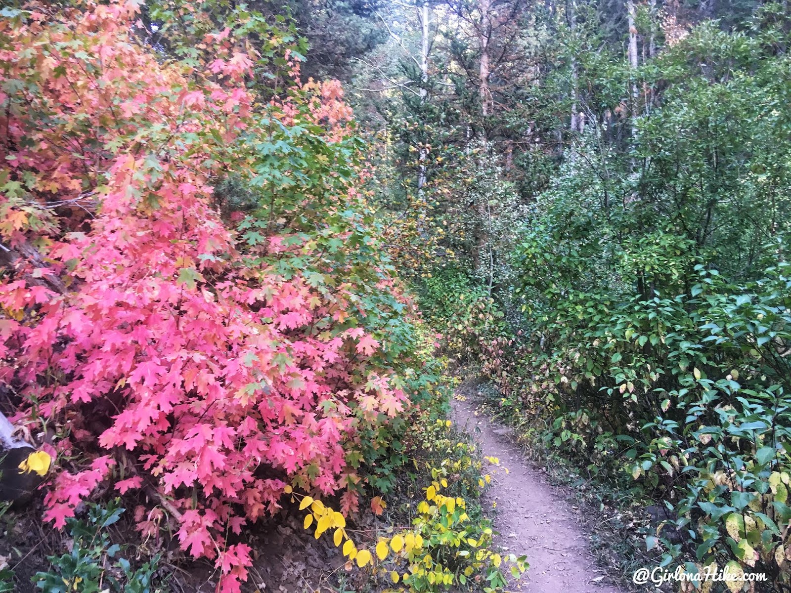
Yay, Fall colors! This is seriously the best time to hike here.
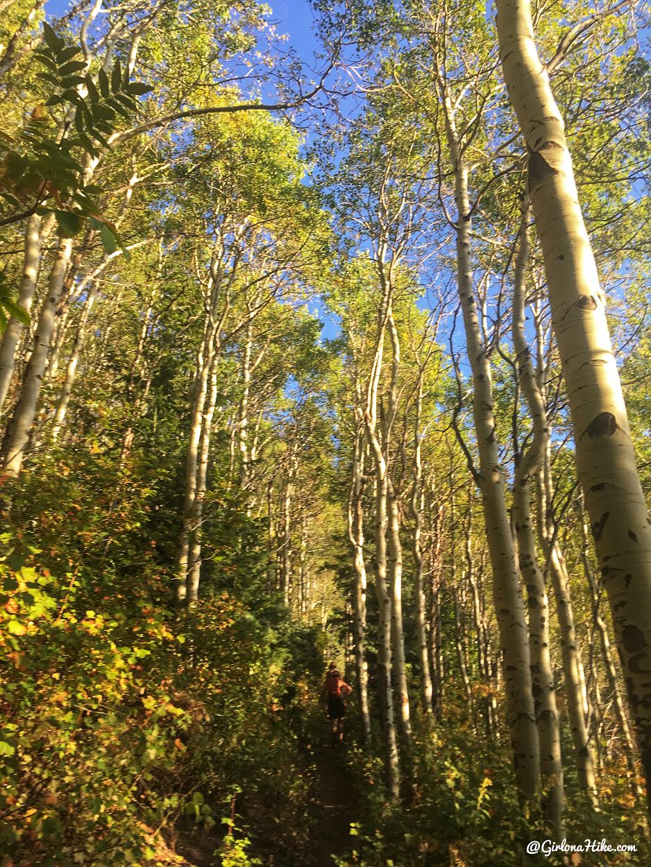
I also love these really tall Aspens along the trail.
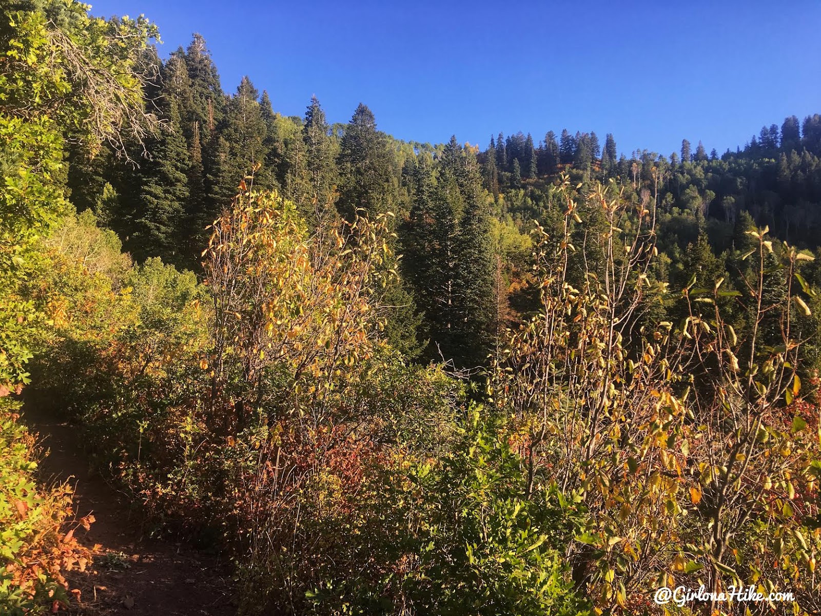
So close to the first ridge – the views keep your mind off how steep it is!
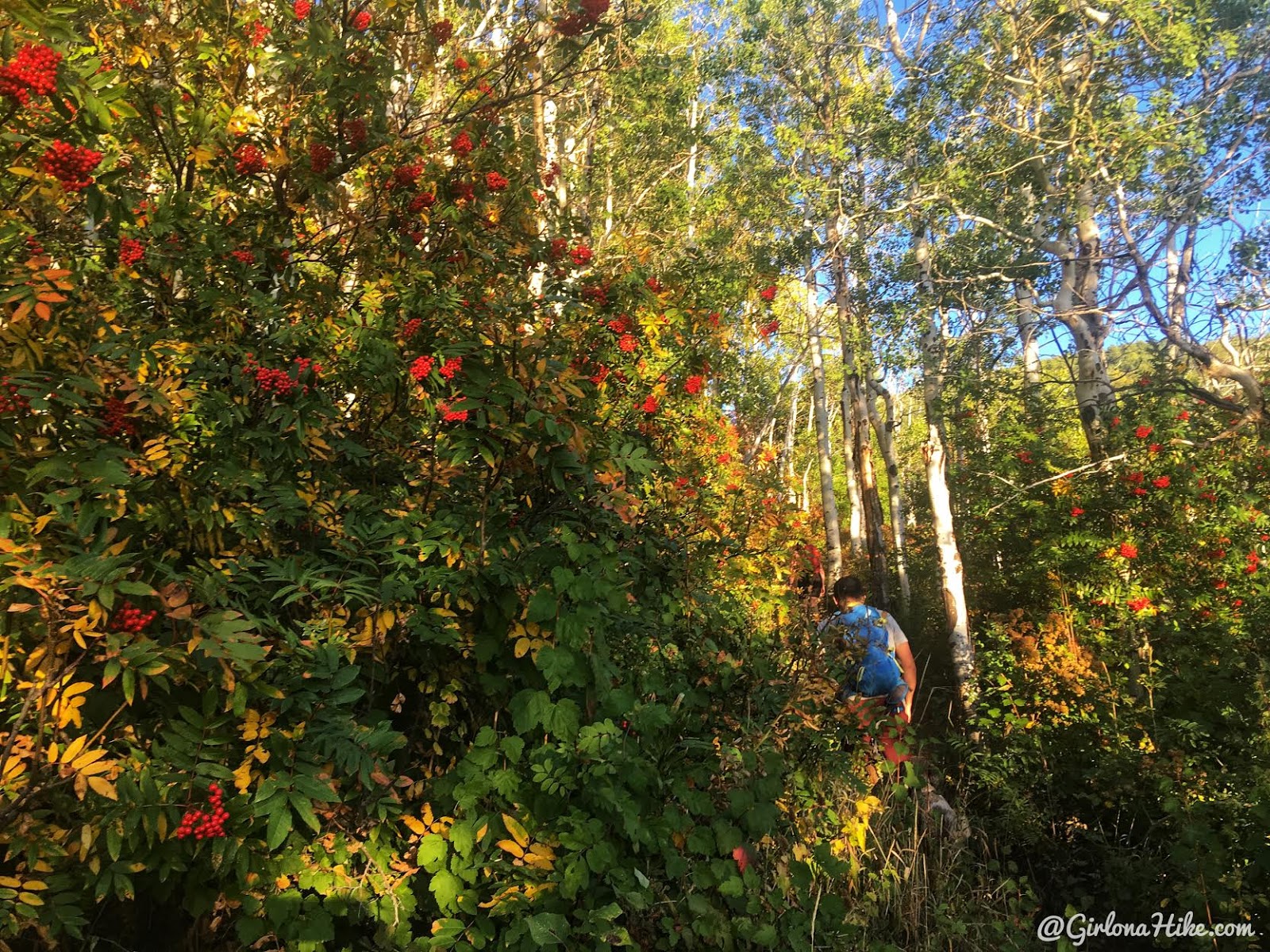
Passing by this tree full of red berries.
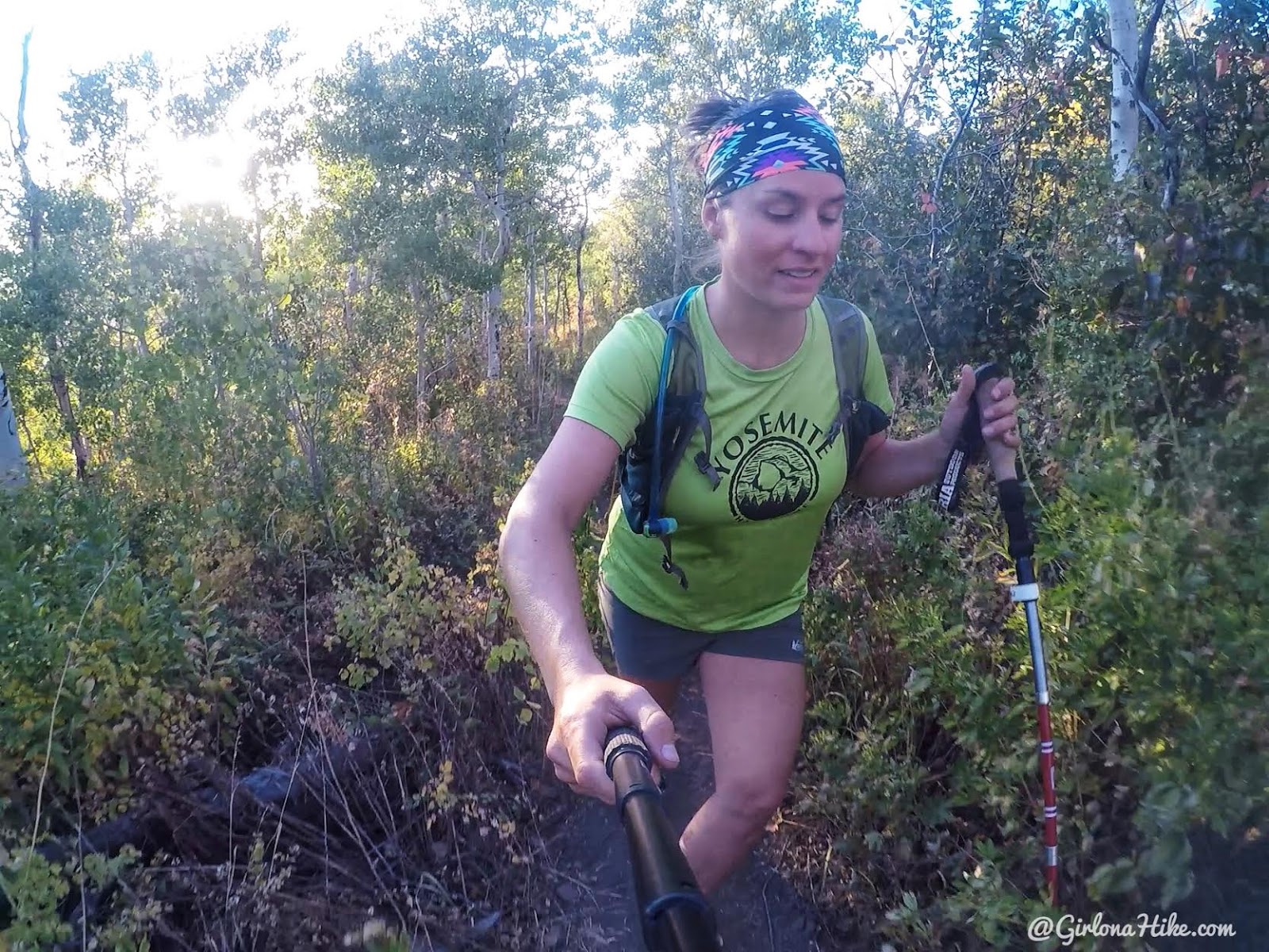
Whew, this trail will get your calves burning. Thank goodness it’s short!
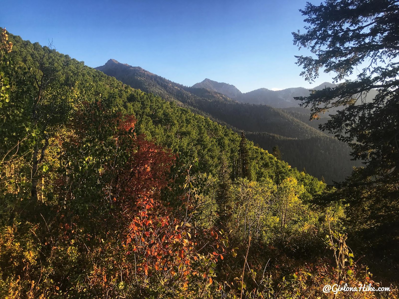
Once on the first ridge you will have a nice view of Mt. Raymond in the distance.
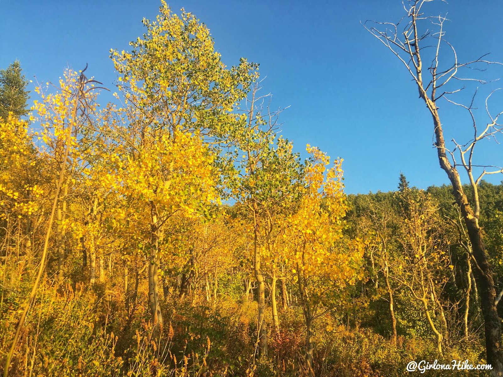
Almost to the top, and more gorgeous Fall colors!
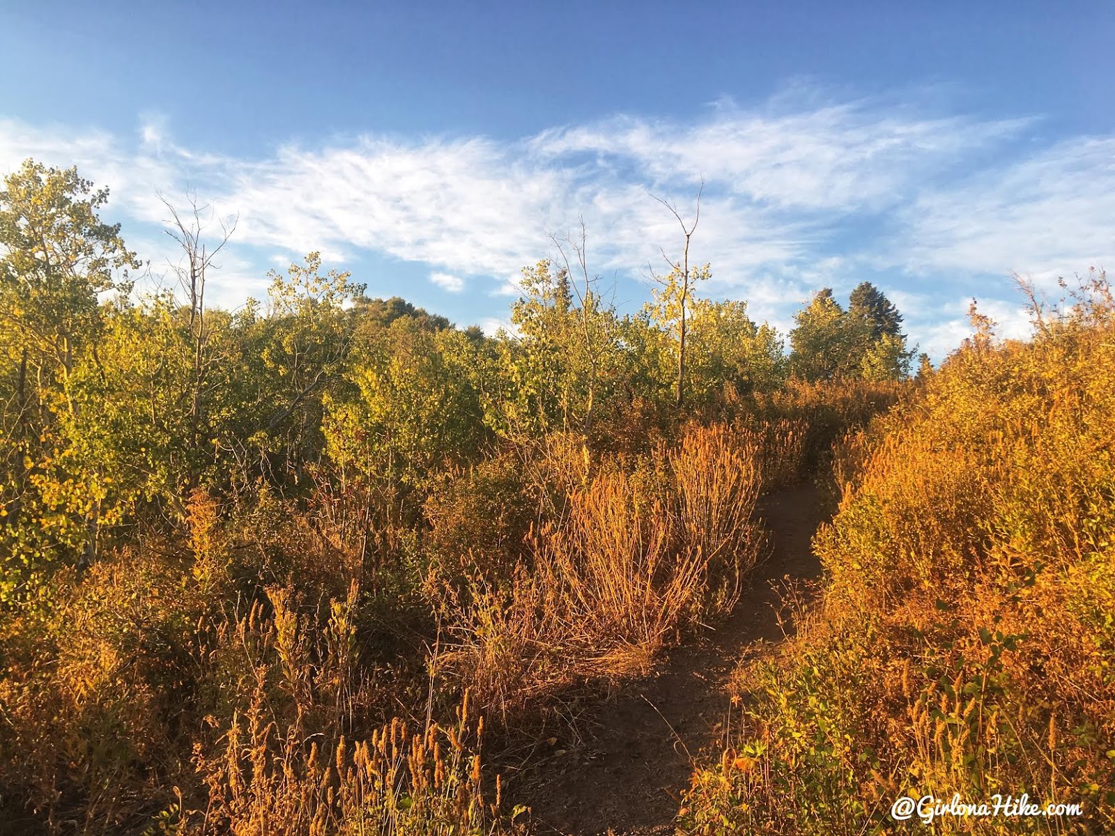
When the trail starts to flatten out, you’re there!

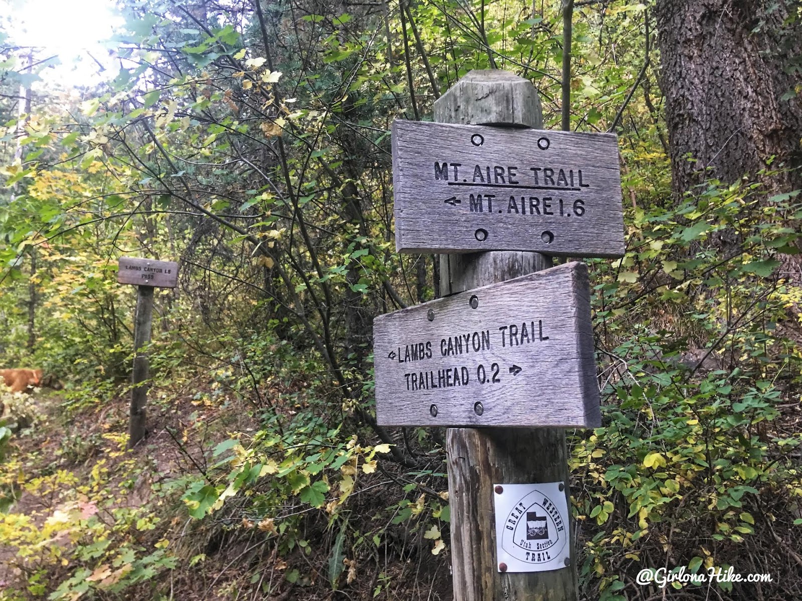
The official “end point” for dogs is at these signs. Dogs are not allowed past this point, since you will enter a watershed. However, if you are dog-less and want to hike point to point (and drop a car), you can easily hike right down to the Lambs Canyon TH.
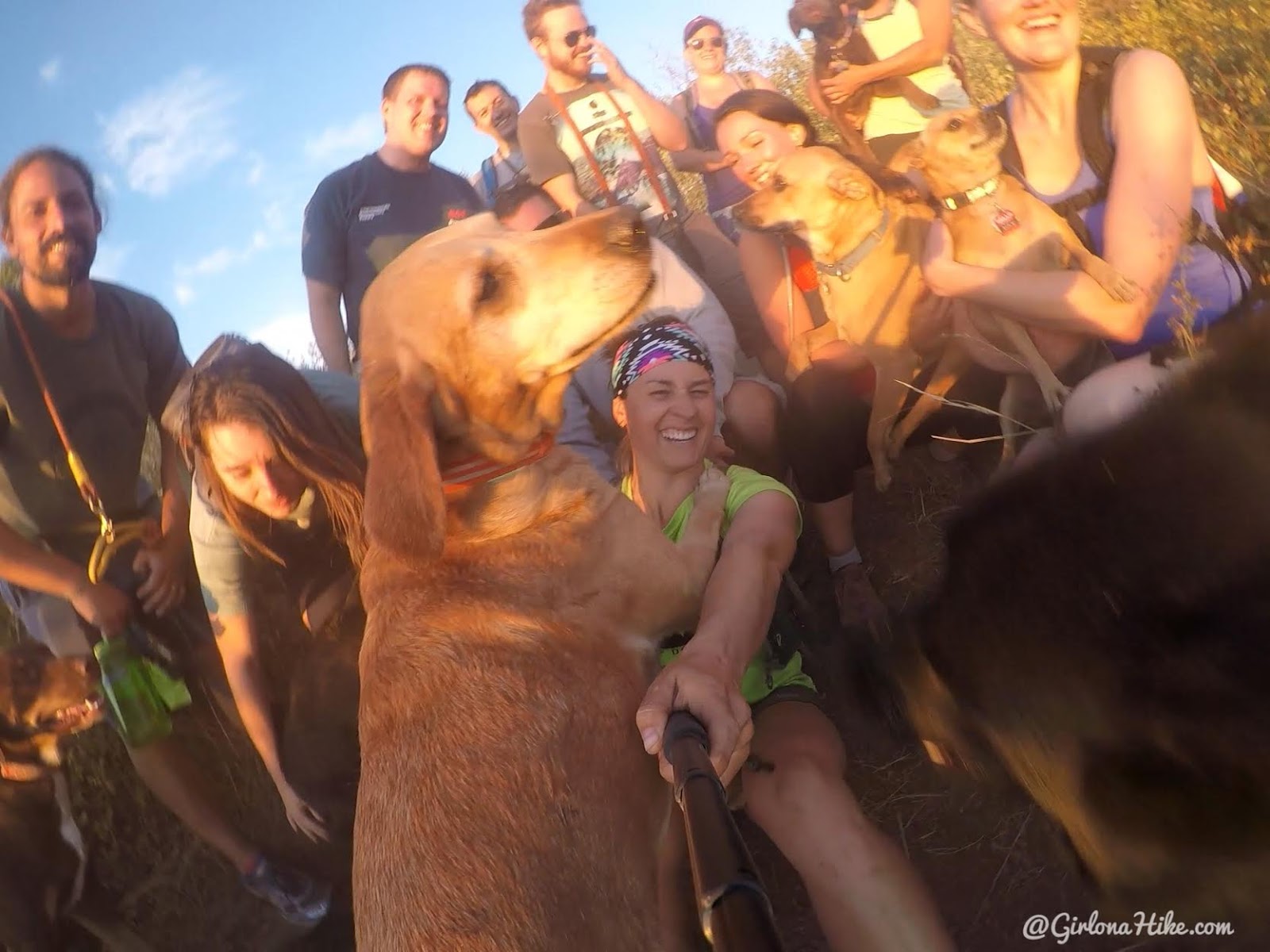
He pushed me over haha! Charlie loves hiking with his pals.
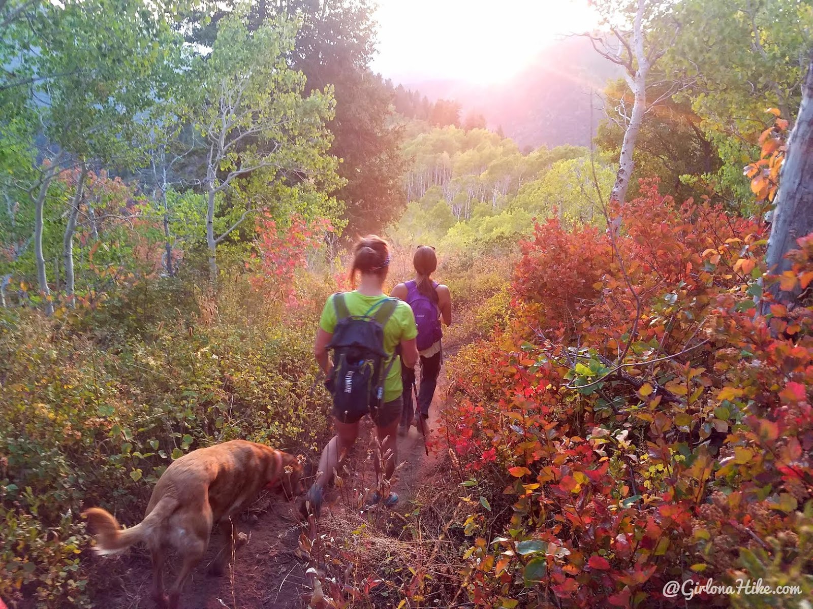
Time to head down – the sunset was awesome!
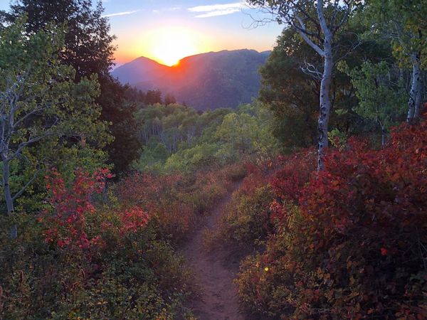
One last look at the sunset, before it drops over the ridge. That peak in the distance is Grandeur Peak.
Trail Map
My track via Gaia GPS – the best tracking app! Get your app here for a discount.
Nearby Hike
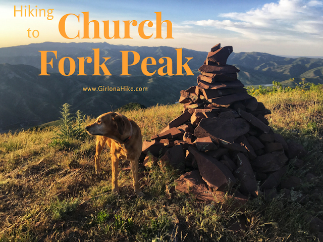
Hiking to Church Fork Peak, Millcreek Canyon

Save me on Pinterest!
