
About
Directions
From Moab, head North on HWY 191, then turn left onto Potash Road. Drive 4 miles and park at the Jaycee Rec Area/Campground on the right. The parking area can fit about 8 cars, but if it is full you can park along Potash Road and take the shortcut up to the main trail (shown in the map below). Here’s a driving map.
Trail Info
Distance: 3.2 miles RT
Elevation gain: 800 ft
Time: 2-3 hours
Dog friendly? Yes, off leash
Kid friendly? Yes, all ages (beware of cliffs)
Fees/Permits? None
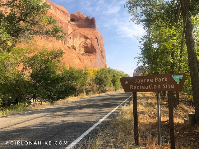
The trail begins at the Jaycee Park Rec Site/Campground. There is a brown signs on both sides of Potash Road.
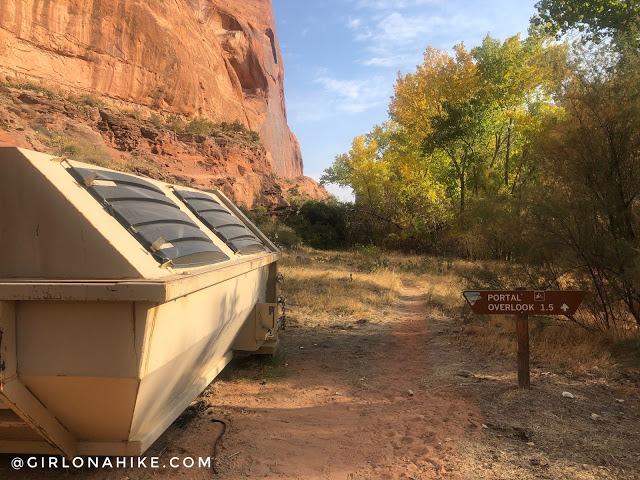
Park in the main lot, which can fit about 8 cars. If this is full, you can park along Potash Road, and take a short cut to this trail (see map below). The trail starts at the dump, but this is actually convenient to pack out trash and dog poop on your way out!
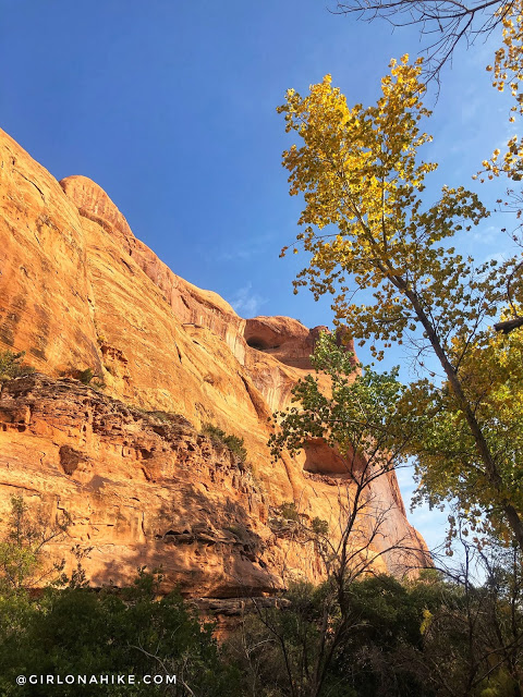
The Fall colors were so pretty in Mid-October!
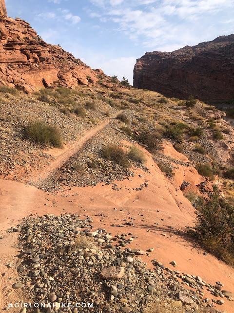
The trail is very mellow the first 10 minutes.
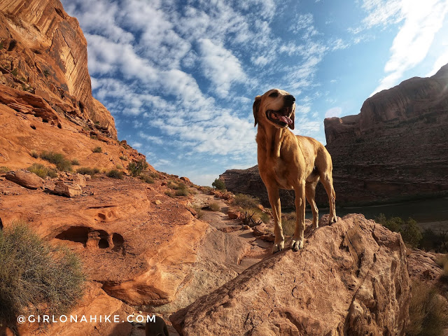
Charlie loves exploring the desert – as long as its not too hot!
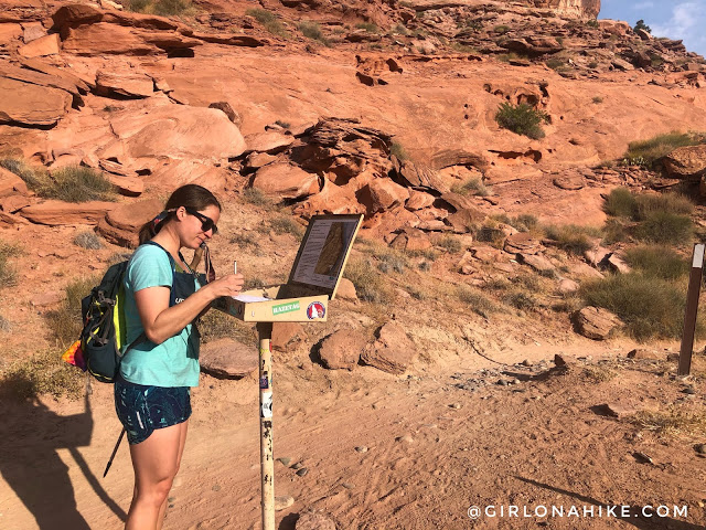
Around 10 minutes reach the trail register box. You’ll see one of the short cut trails coming in from the road here off to the right (South). Even though this is an easy, short hike it’s still a good idea to check in the box in case you get lost or injured. This is also how the BLM knows how many people access this particular trail each year.
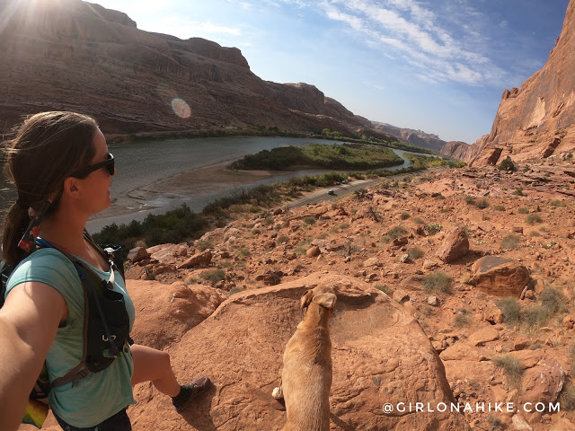
Don’t forget to look back at a nice view of the Colorado River.
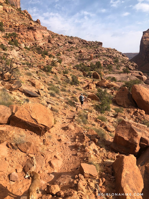
I just love the desert – look at all that red dirt!
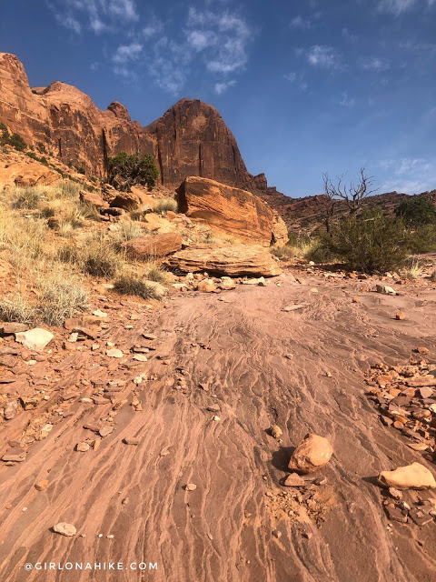
The trail started to gain elevation, but it is very easy to follow. As long as you follow the tire and shoe tracks you’re on the right path.
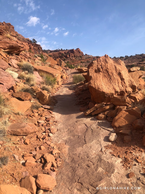
Whew, even though it was only around 65-70F I was sweating on this hike! You’ll hike up a few small switchbacks and see some really cool rocks and geology.
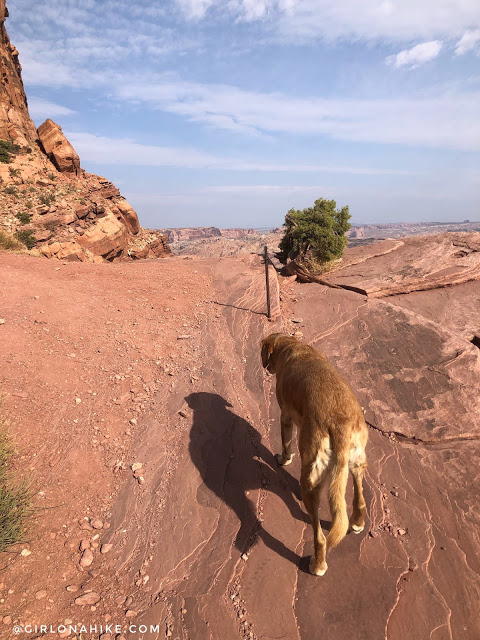
At 1.6 miles you’ll see this metal pole in the ground and now you’re officially at the Portal Overlook.
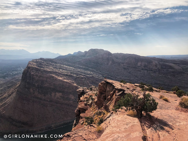
Time to take in the views! You can barely see me I look so small on the ledge!
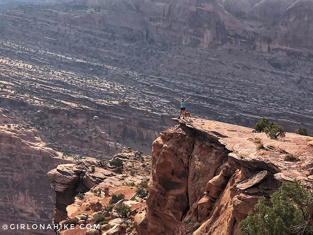
Zoomed in, now you can see us!
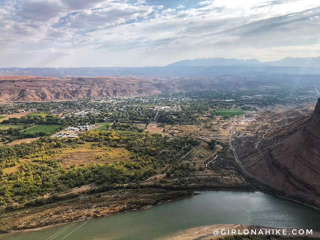
Just wow! What a cool view of Moab and the LaSals. Fire smoke started to move in on this day, so normally it would be a lot clearer but I was already impressed. Just think how fun it would be to do a sunrise hike here and brink up a backpacking chair, thermos of coffee/tea, and a blanket!
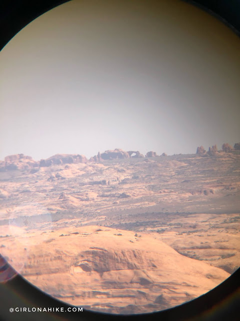
Don’t forget your binoculars – you can see all the way to Arches National Park!
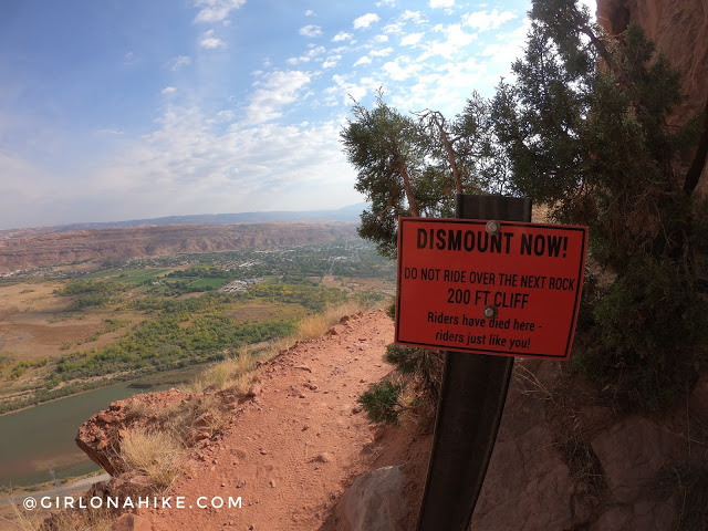
The trail continues along the ridge and you can actually hike further if you want to explore. I wouldn’t take kids past the Portal Overlook area though.
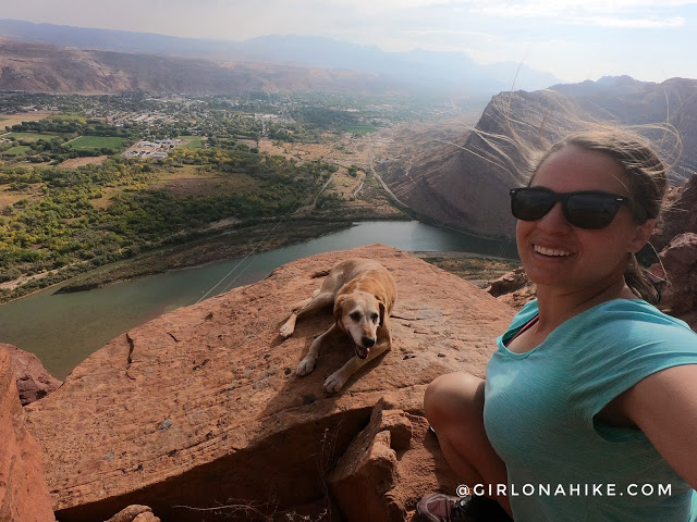
I only went to the next point and grabbed some more pics.
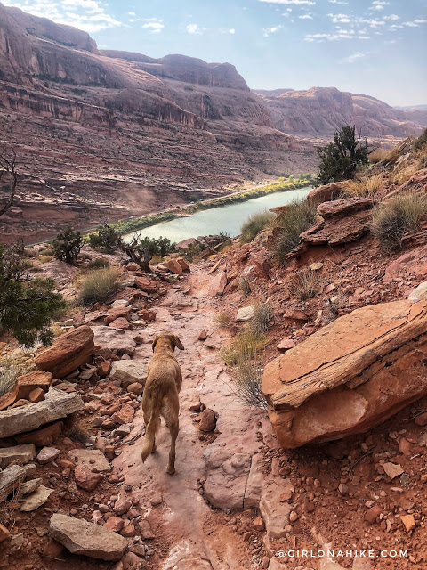
Time to head back down.
Trail Map
My track via Gaia GPS – the best tracking app! Get your app here for a discount.
Nearby Hike
Hiking the Stairmaster Trail, Moab

Save me on Pinterest!
