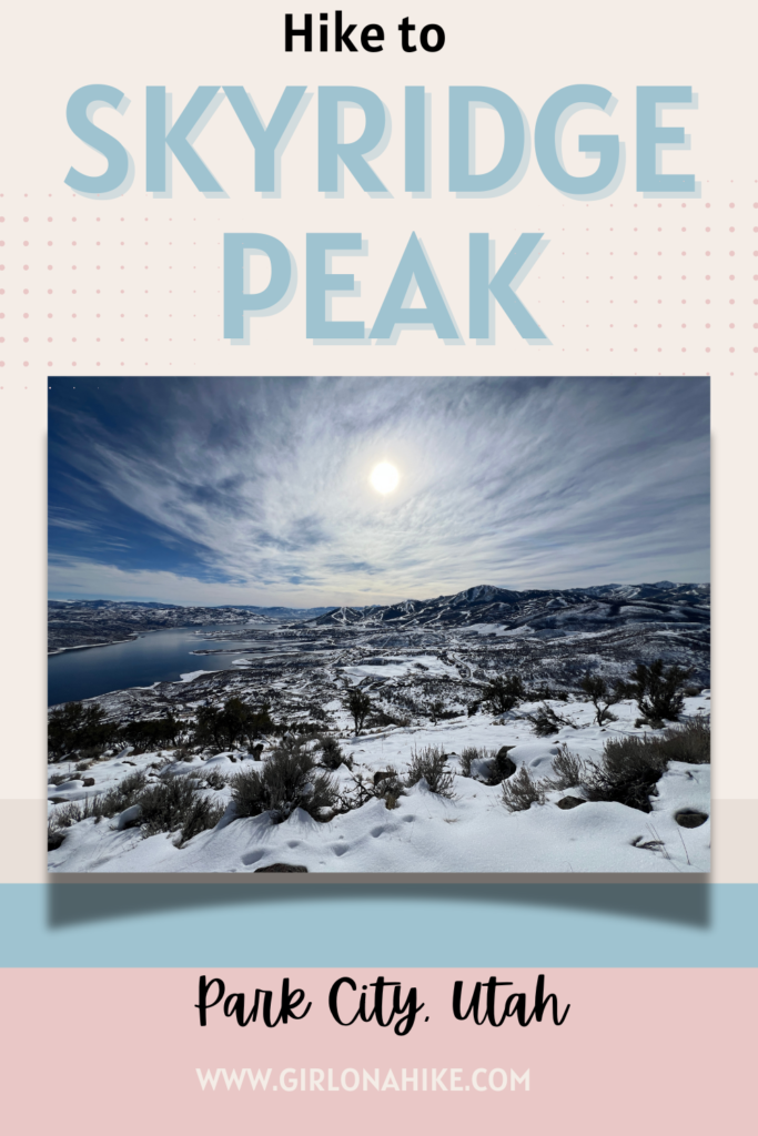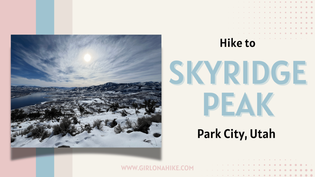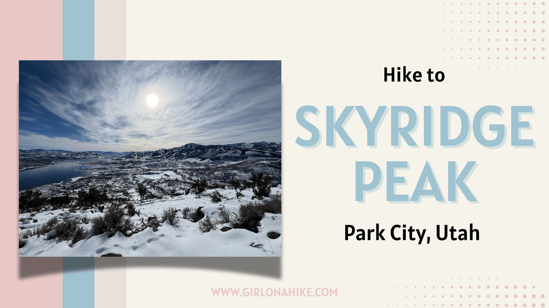
Skyridge Peak is located at an elevation of 7,385 ft at the north end of the Jordanelle Reservoir in Park City, Utah.
About
This small peak offers an amazing view of the Jordanelle Reservoir to the South, Park City and ski resorts to the West, and the surrounding neighborhoods, offering a perfect 360-degree view. This 4.8-mile round-trip hike is perfect for a quick hike or run, as it is very gradual only gaining about 1,000 ft in elevation. The Skyridge Peak trail is very exposed so doing this in the middle of Summer is not ideal until you start very early in the morning. Skyridge Peak is dog and kid-friendly, but watch out – bikes are also able to use surrounding trails and you may cross paths with them.
Directions
From SLC, head East on I-80, then south on HWY 40. Take exit 4 and turn East. Turn right at the first light onto N Jordanelle Parkway. Drive 1.5 miles and you will see the TH and parking area on your right/North side of the road. You can also type in “Skyridge North Trailhead” into Google maps.
Here is a driving map.
Trail Info
Distance: 4.8 miles RT
Elevation gain: 981 ft
Time: 2-3 hours
Dog friendly? Yes, off leash
Kid friendly? Yes, all ages
Fees/Permits? None
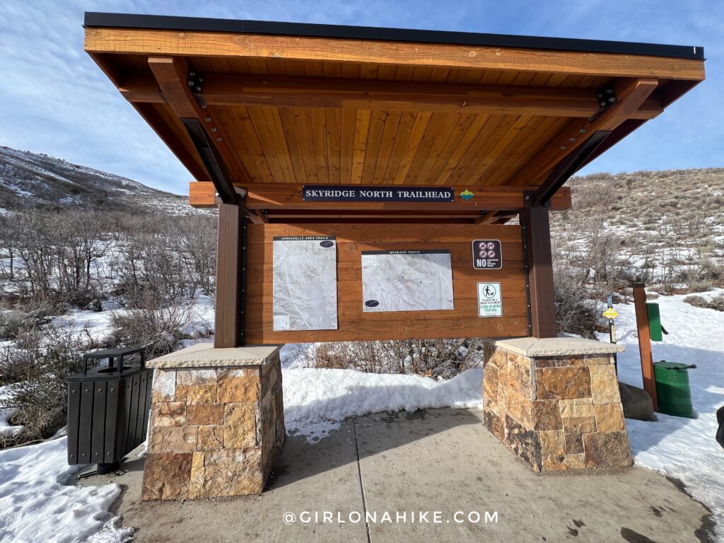
The Skyridge Peak trail is well marked with a detailed map. There are many trails but hikers will need to stay on the “hikers only” path.
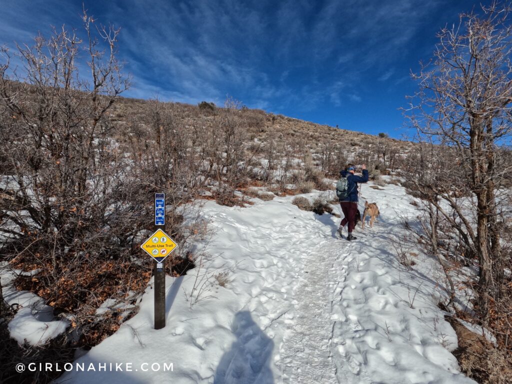
Ready to go!
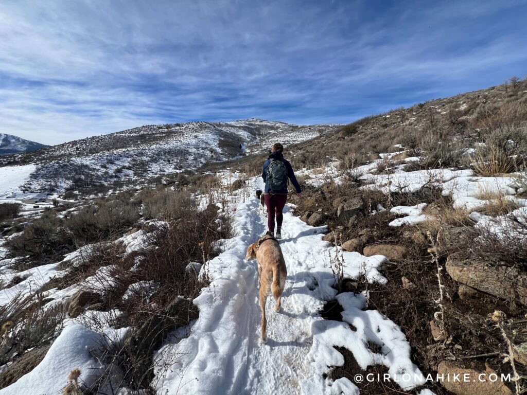
You will hike up several long switchbacks to reach Skyridge Peak.
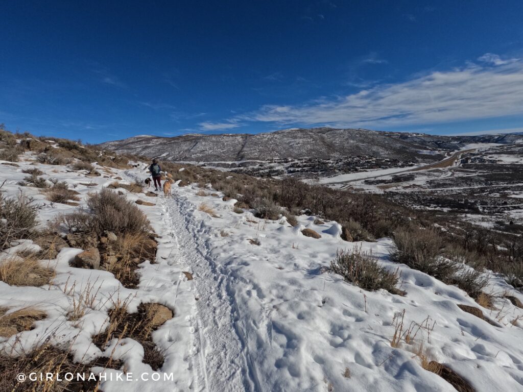
The entire trail is very gradual though.
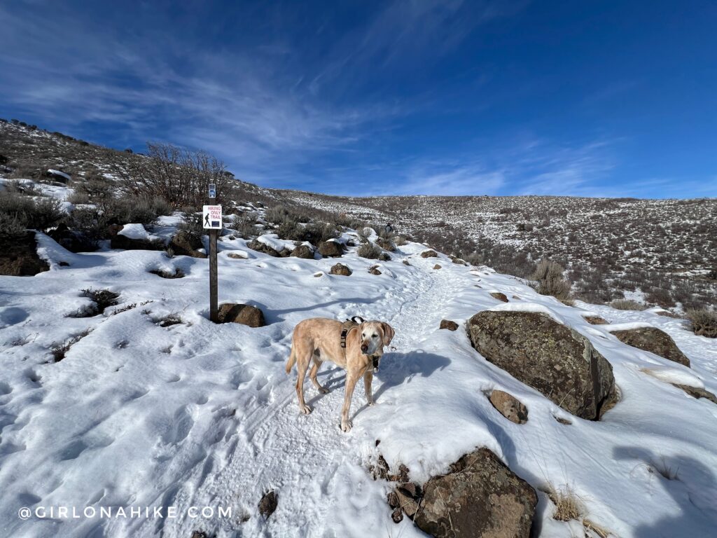
Charlie knows which way is the “hikers only” trail!
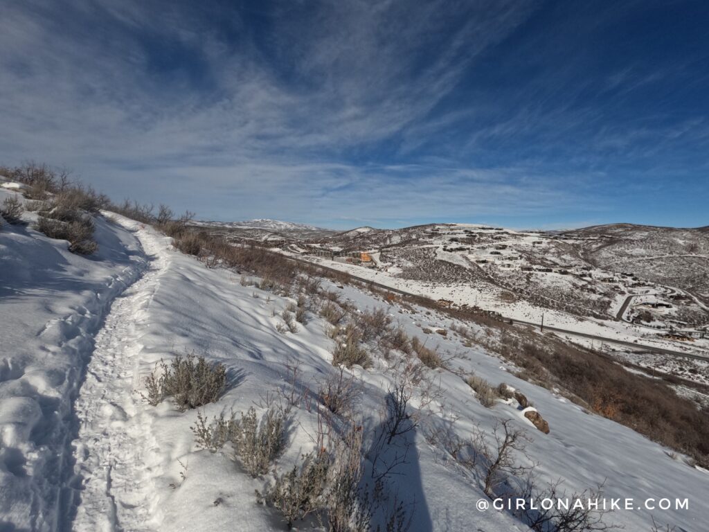
As we hiked higher the trail curved more to the East end of the hill, and we could see the Blackrock Mountain Resort area.
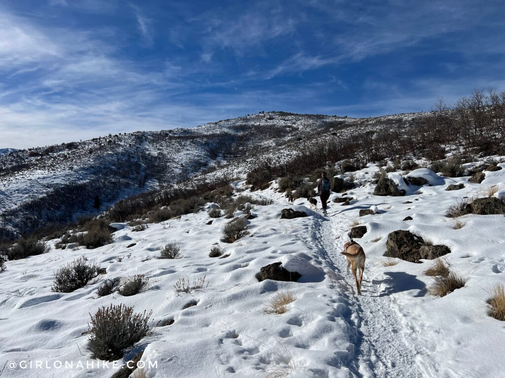
The nice thing about this trail is you can always see your destination! My friend had to turn around here, but Charlie, Penny (her dog), and I kept going.
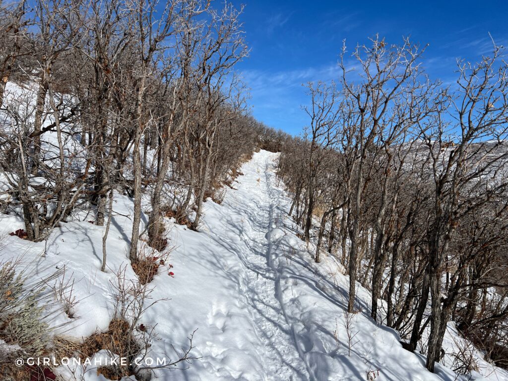
As you can see, this trail is very exposed so Summer is not the best time to hike here. I love winter trails!
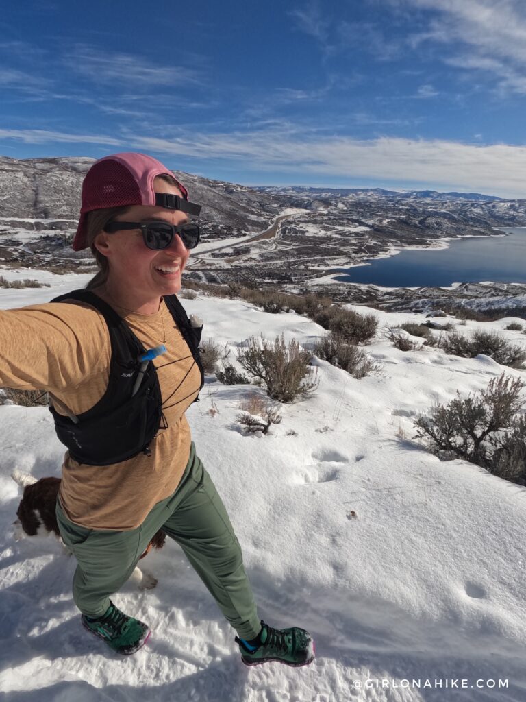
Working our way up higher, now we have a really great view of the Jordanelle Reservoir! Whew, it was geting hot in the direct sun – even in January!
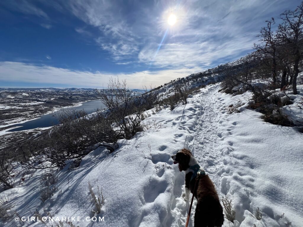
The trail curved south for a little bit and I had to keep Penny on-leash because she wanted to chase after little critters!
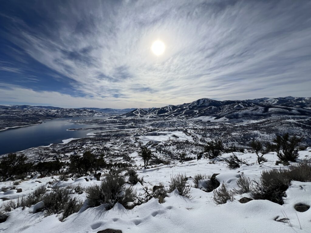
Then…wow! Honestly, this was the best view of the entire hike. What a beautiful day to get out!
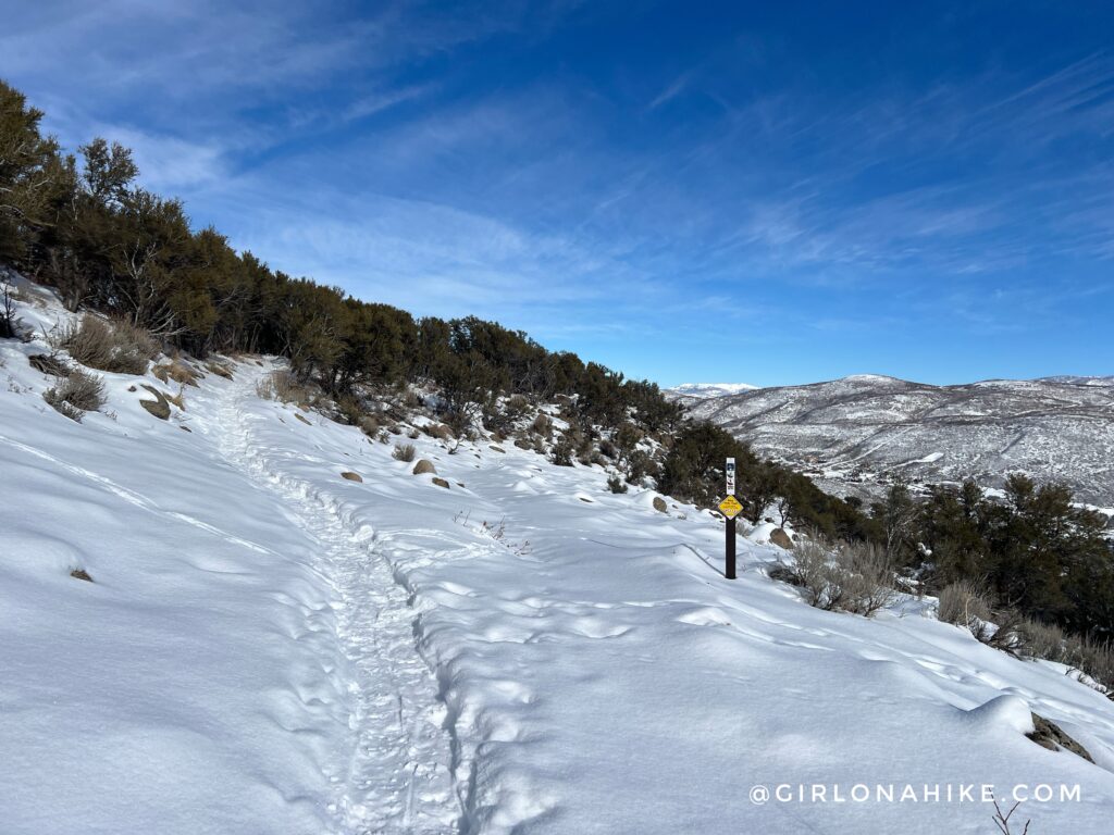
But, I wanted to reach Skyridge Peak so I kept moving.
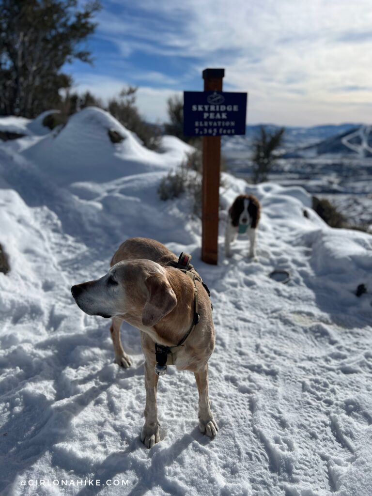
Within an hour we summit Skyridge Peak!
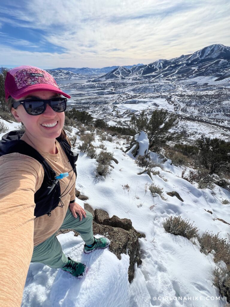
What a cool trail! This was perfect for jogging back down. I will definitely come back!
Watch my video!
Trail Map
My track via Gaia GPS – the best tracking app! Get your app here for a discount.
Nearby Hike

Save me on Pinterest!
