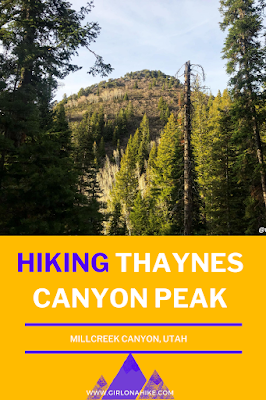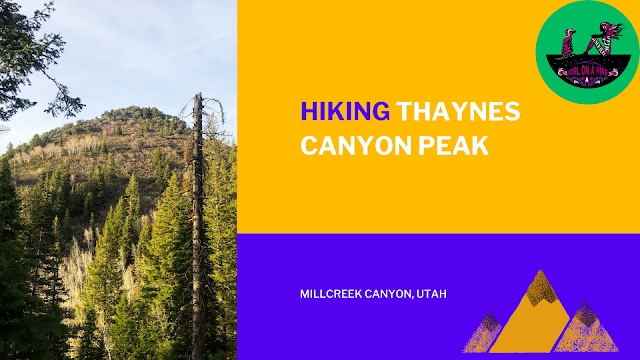

Thaynes Canyon Peak (8,656 ft) is a high point in Millcreek Canyon – not many people summit this peak, as it is not well known and fairly steep.
About
The trail follows a south facing canyon the entire way, so it is very well shaded. Thaynes Canyon Peak is also lower in elevation compared to some of the surrounding peaks such as Mt. Raymond & Gobblers Knob, therefore it is typically not high on a Peak Baggers “to do” list. However, don’t let these things stop you from hiking the trail – the solitude and views you’ll get on this peak are still worth at least one trip to the summit.
Directions
From SLC head South on I-215 and take exit 4. Turn left at the bottom of the ramp, then turn left again on Wasatch Blvd. At the next light, turn right, which will lead you into Millcreek Canyon. Drive past the fee station (fee collected upon exit), and just past the Millcreek Inn, is the Desolation Overlook TH parking lot on your right. This is also where the Thaynes Canyon trail begins. There is one restroom. Here is a map link.
Trail Info
Distance: 6 miles RT
Elevation gain: 3,000 ft
Time: 3-4 hours
Dog friendly? Millcreek allows dogs off leash on ODD days only; dogs must be leashed on EVEN days
Kid friendly? No
Fees/Permits? There is a $5 fee upon exit, of FREE if you have an Annual Millcreek Canyon Pass. The National Park Pass, Mirror Lake Highway, nor American Fork Canyon passes are accepted.
Hiking Thaynes Canyon Peak: What to Expect
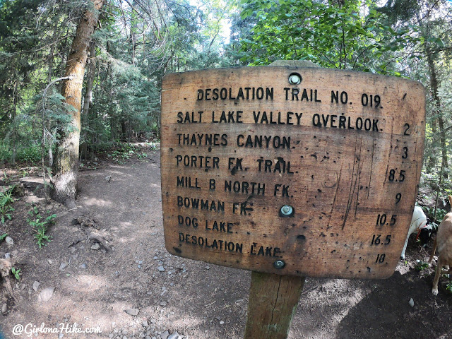
Thaynes Canyon Peak starts at the Desolation Trail (another great overlook to hike to!).
You’ll pass this large sign with all the surrounding trails and mileage listed. The 3 mile mark is to the last trail split sign, not Thaynes Peak.
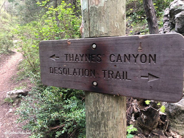
And then you’ll pass one more sign – stay left. Going right will take you to the Desolation Overlook.
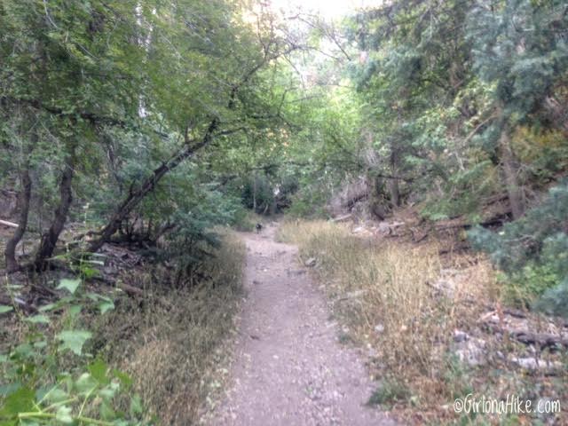
In the beginning, the trail is very wide and well traveled.
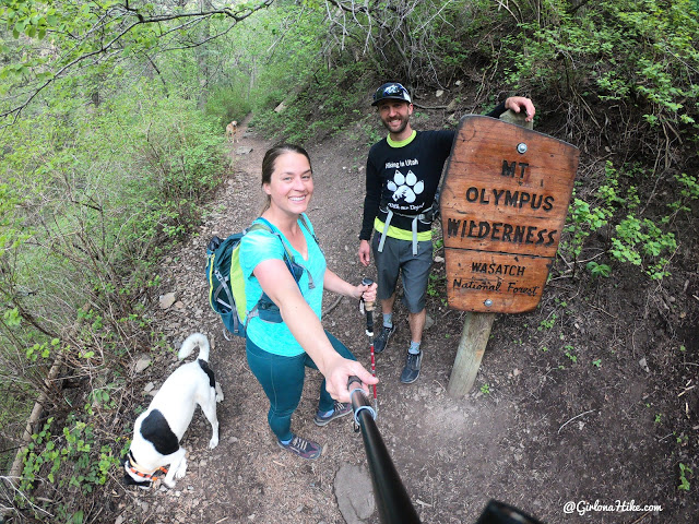
Entering the Mt. Olympus Wilderness area.
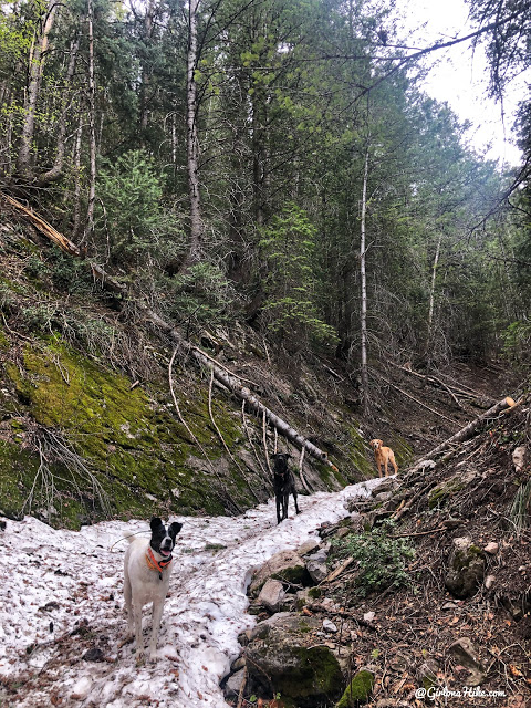
You’ll see several trails going to the right – those all connect back with the Desolation Trail. This is also when the trail becomes really steep. Even in May you’ll see snow. It’s better to wait until at least June, unless you like post-holing.
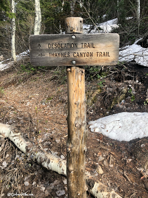
Last signed trail split. Make sure you stay left at every trail split.
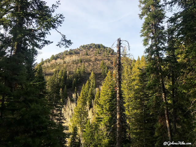
We could finally see Thaynes Canyon Peak through the forest. Not too much further! Once you reach the saddle, go left again.
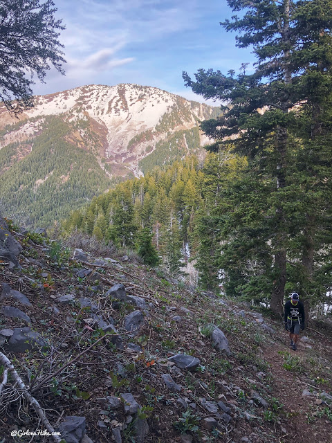
The last 200 ft up the peak are the steepest yet – hiking poles will be very helpful here.
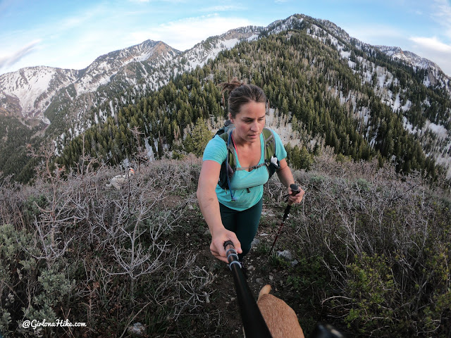
Once it seems like you are on the first high-ish point, go about another 100 yards. You’ll have to find your way through scrub oak, but there will be a summit register hidden in some rocks to sign!
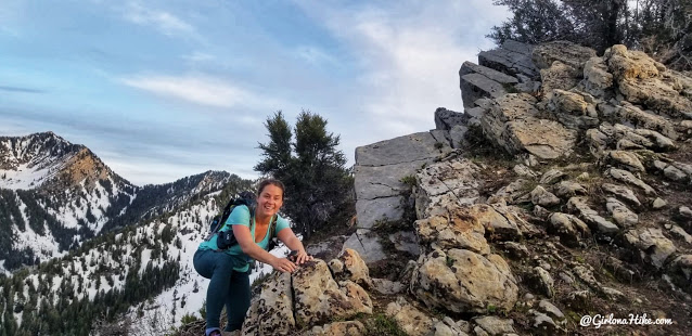
Whew, this is a steep hike – loving the ridge though!
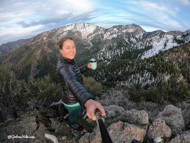
Brought my beer and backpacking chair up to enjoy the view! Love this view of Mt. Raymond!
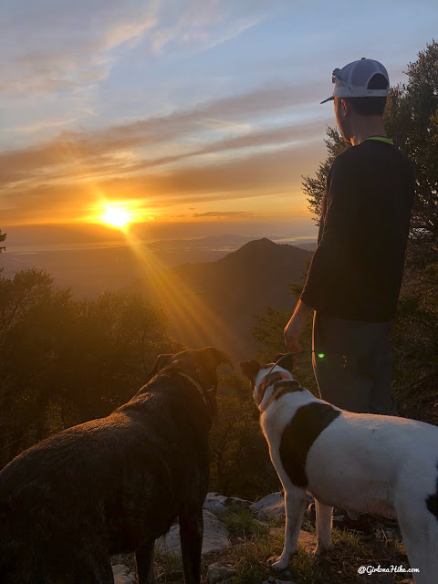
Awesome view of the sunset, with Grandeur Peak in the distance!
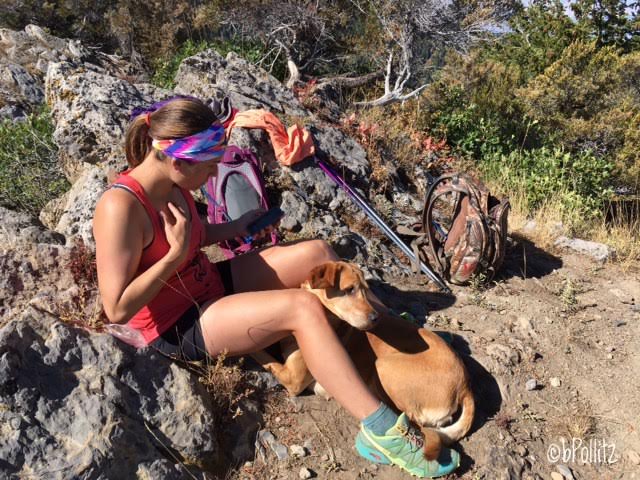
June 2016 – enjoying the summit on a much hotter day!
Here’s my route – keep in mind it will be slightly different if you hike this in Summer. In May 2020, there was still quite a bit of snow and we lost the trail a few times.
My track via Gaia GPS – the best tracking app! Get your app here for a discount.
Nearby Hike
The 7 BEST Trails in Millcreek Canyon

Save me on Pinterest!
