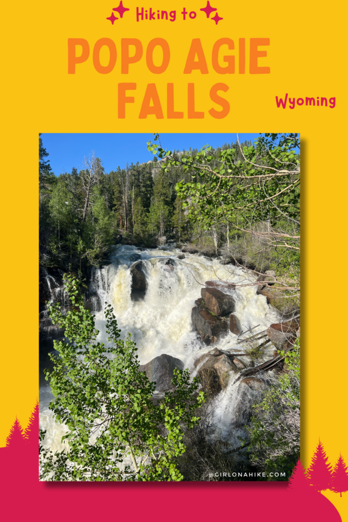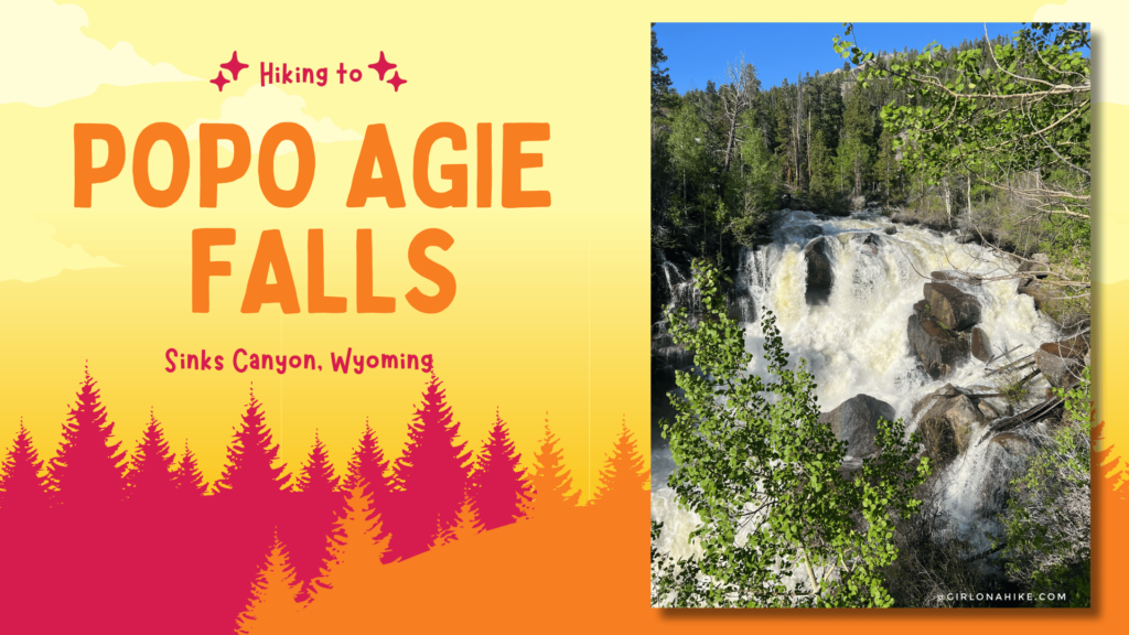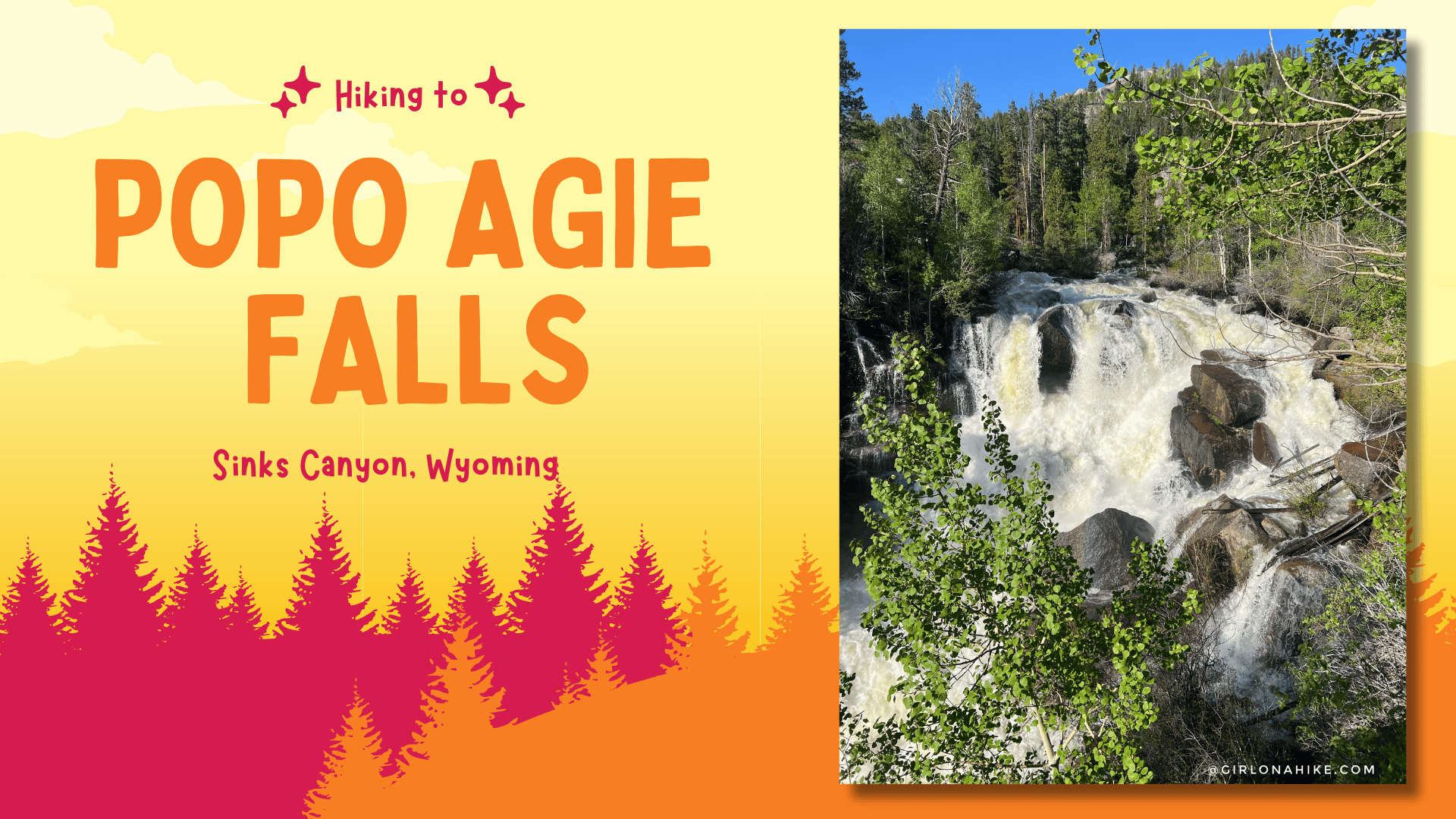
Popo Agie Falls, located in the Shoshone National Forest near Lander, Wyoming, is a stunning natural feature characterized by cascading waters over smooth granite rocks. It is located right outside of Sinks Canyon State Park.
About
Popo Agie Falls are part of the Middle Fork of the Popo Agie River and are accessible via a popular hiking trail, offering picturesque views and opportunities for swimming in natural pools. However it might be dangerous too early in the season when run-off is extremely high from the snow melt, as when we visited the first weekend of June.
It’s a great hike for the whole family, as it gradually gains roughly 800 feet over 2 miles one way. Dogs are also allowed to use this trail off leash but be aware that horses also use this trail so always have a leash handy. Most of this trail is exposed and therefore gets hot quickly – hike here early to beat the heat and the crowds. In late summer when the flow drops significantly, this is a popular swimming area for locals.
I hiked this the day after running the Sinks Canyon 18k Race – you can watch that here! It was a beautiful course with a lot of wildflowers.
Directions
From Lander, WY follow signs for Sinks Canyon. Here is a driving map.
Trail Info
Distance: 4 miles RT
Elevation gain: 800ft
Time: 2-4 hours
Dog friendly? Yes, off leash
Kid friendly? Yes, all ages
Fees/Permits? None
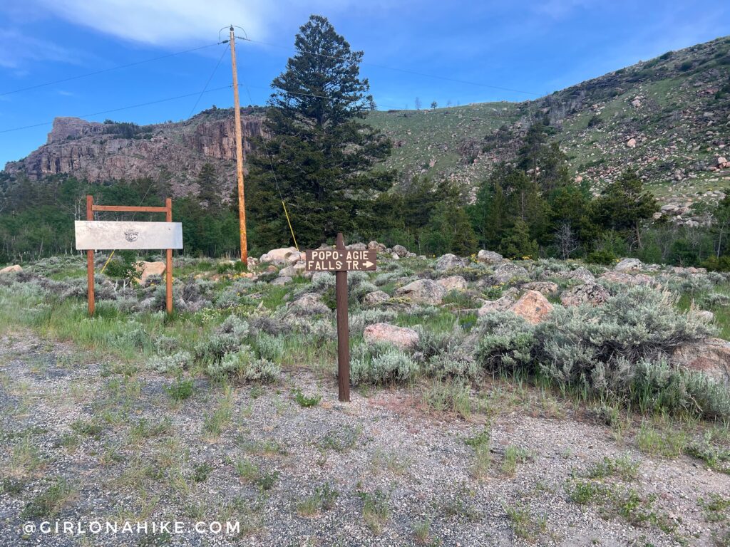
The Popo Agie Falls trail begins in Bruce’s Parking lot – the same place as the Sinks Canyon Races. Cross the bridge.
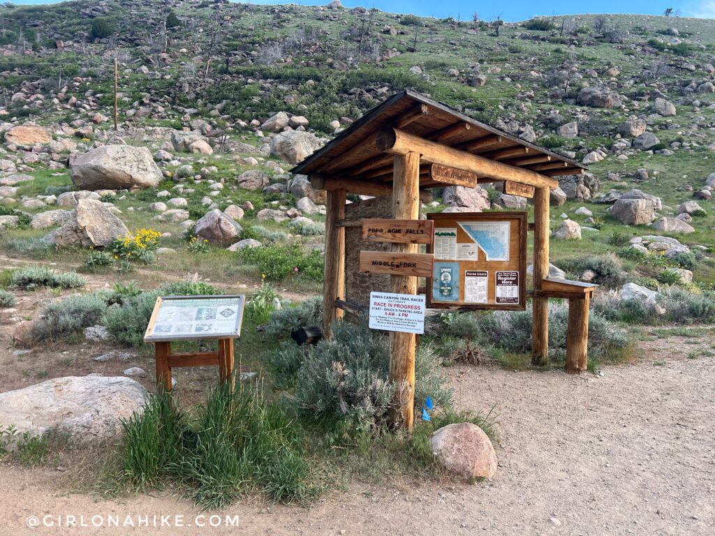
Take a left at the big sign.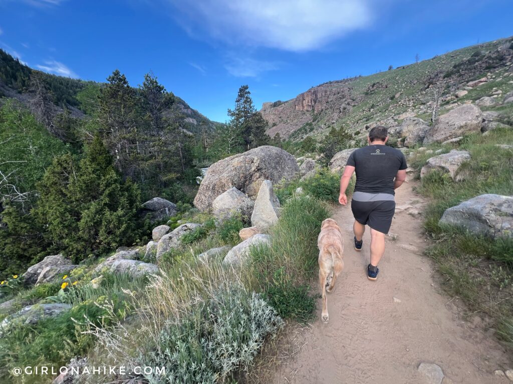
The trail starts out wide and sandy with a little bit of rocks here and there.
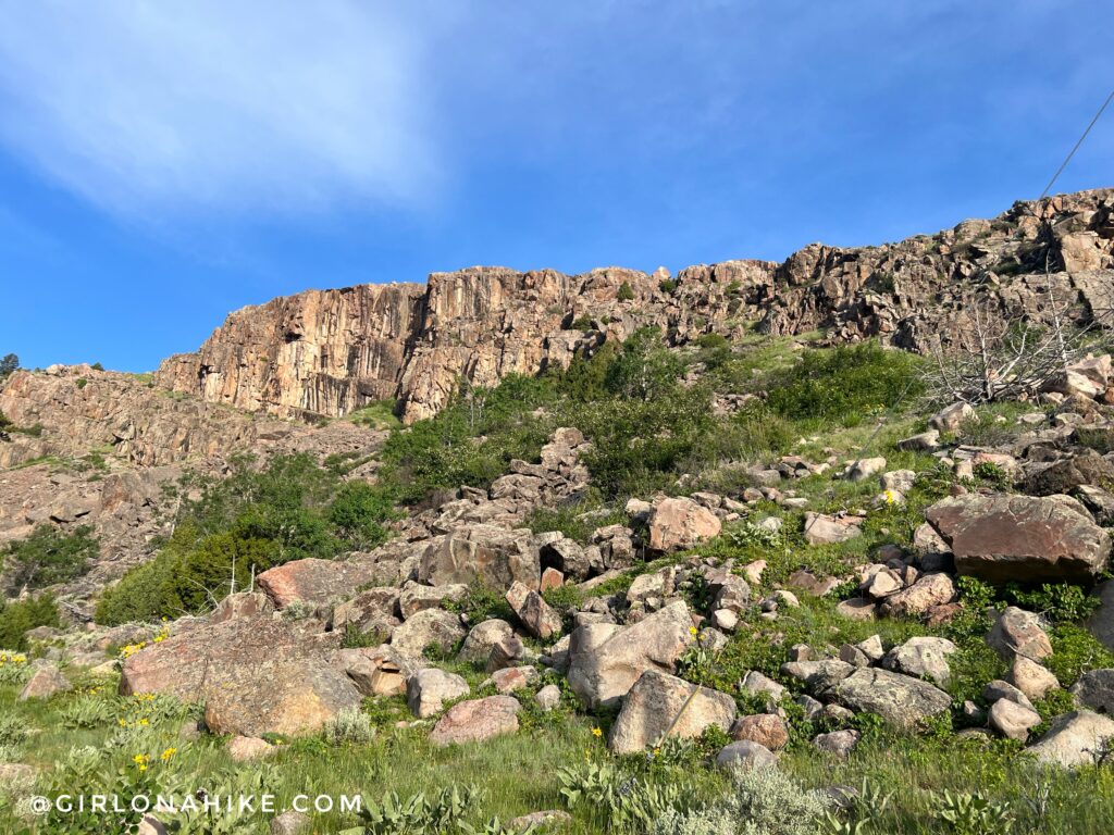
The amazing rock wall lit up in the early morning sun. Because it was going to be so hot on this day, we started hiking by 730am.
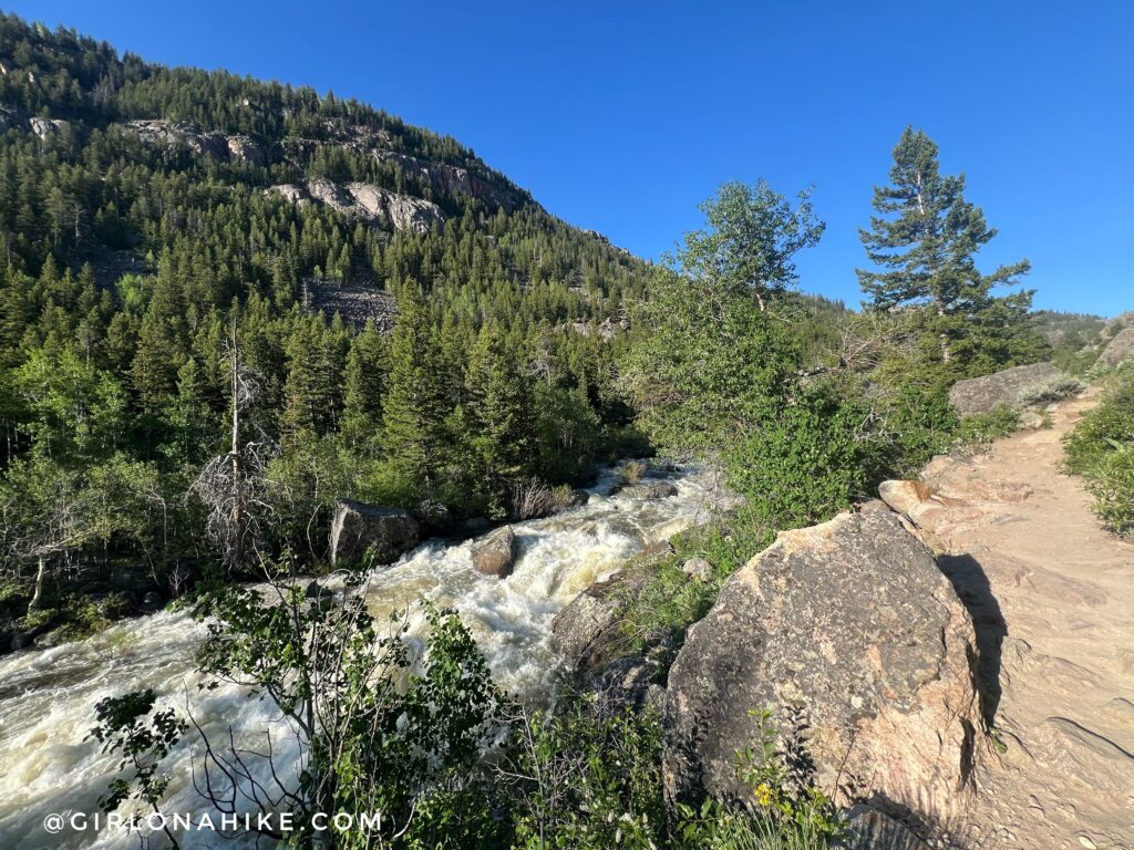
For the entire hike you will hike along the Middle Fork of the Popo Agie River. In early June it was raging!
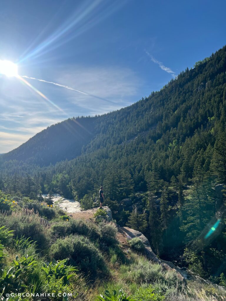
Along the way to Popo Agie Falls there are a few cool spots to stop and take a look at the river below you. So pretty!
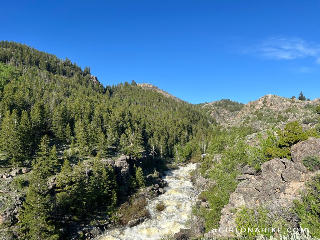
See the small hill in the right area of this photo? You will eventually be hiking on top, and behind that. We weren’t too far away at this point, maybe 1/2 mile to go.
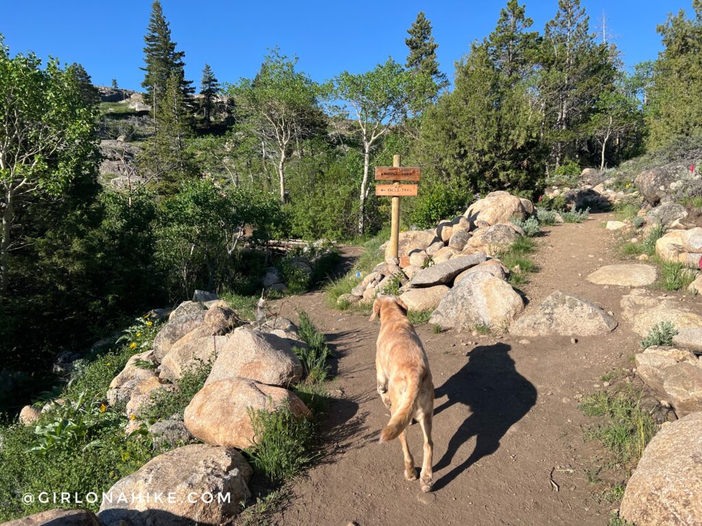
At 1.5 miles, take a left at the next trail sign. Charlie knew where we were going!
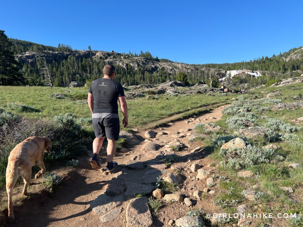
Now on top of that hill, it flattens out and you can start to see Popo Agie Falls.
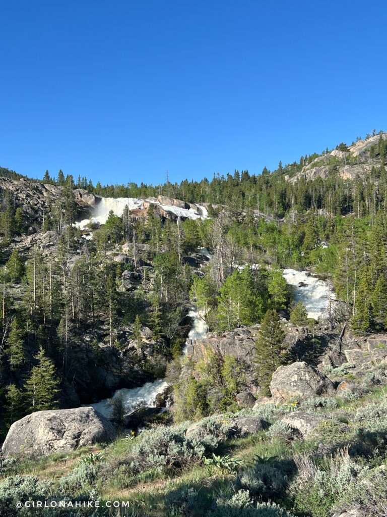
Wow! Way bigger and longer than I was expecting. There was just so much water it found all kinds of places to go, creating little creeks of its own.
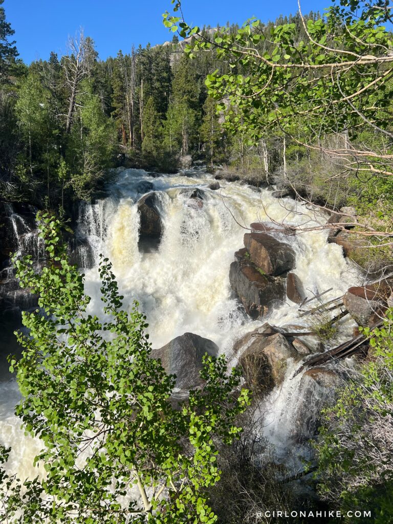
I had to get closer of course! But keep an eye on dogs and kids – the rocks are extremely slippery from all the mist and algae.
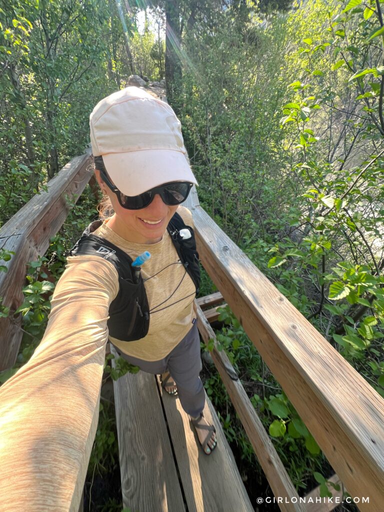
Towards the end, there is a fun little bridge to walk across.
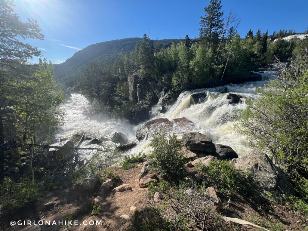
This is really the best spot – right next to and slightly above the Falls, looking down river. How cool! I really loved this short hike.
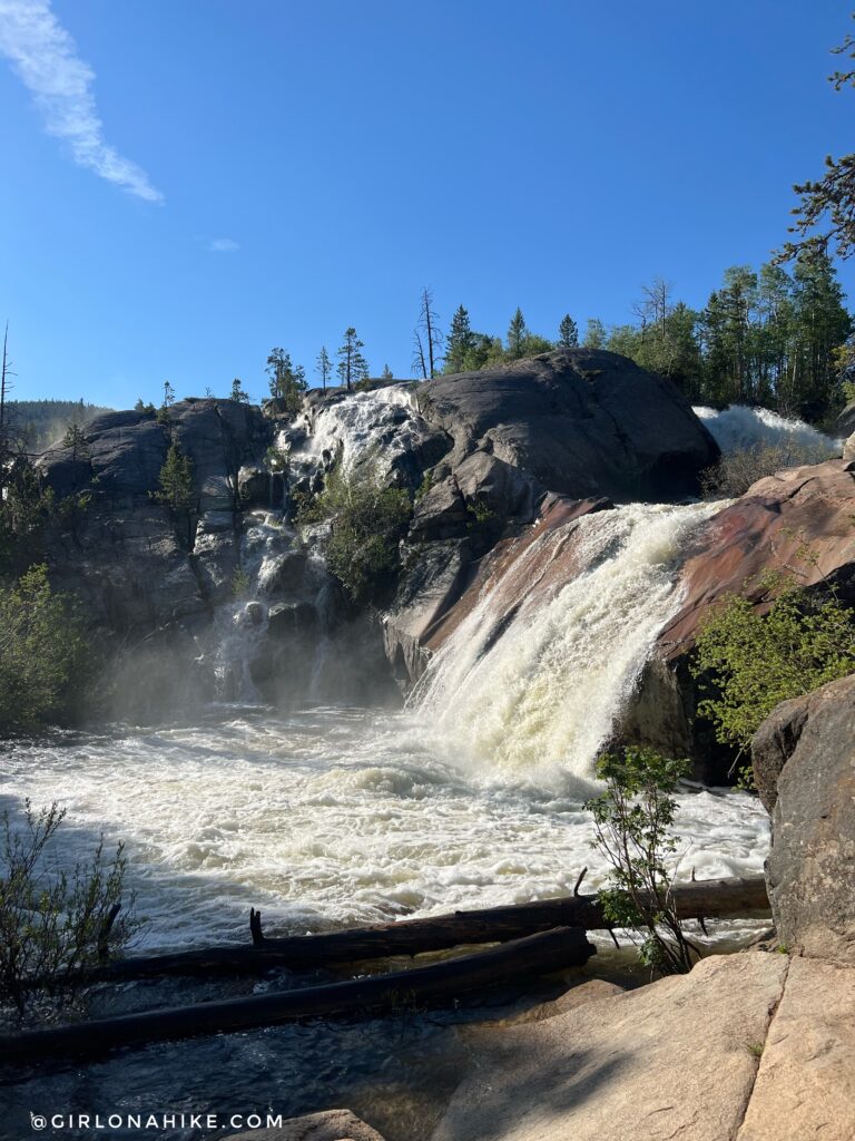
This is the area above the main falls where people slide down and swim in low flow. It’s hard to image what that is like, but I’ll have to come back later in the year to check it out.
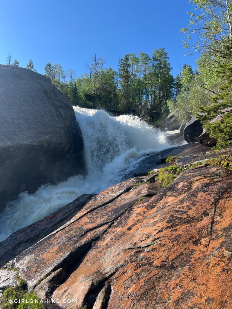
We hiked a littler further up, but the trail started to become overgrown with lots of downed trees. This seemed like the end, so we turned around. What a great morning to wear out Charlie before the drive back home! I definitely recommend hiking to Popo Agie Falls if you are in the Lander area.
Trail Map
My track via Gaia GPS – the best tracking app! Get your app here for a discount.
Recommended Hike

Save me on Pinterest!
