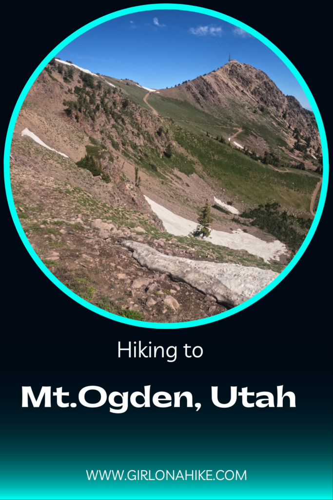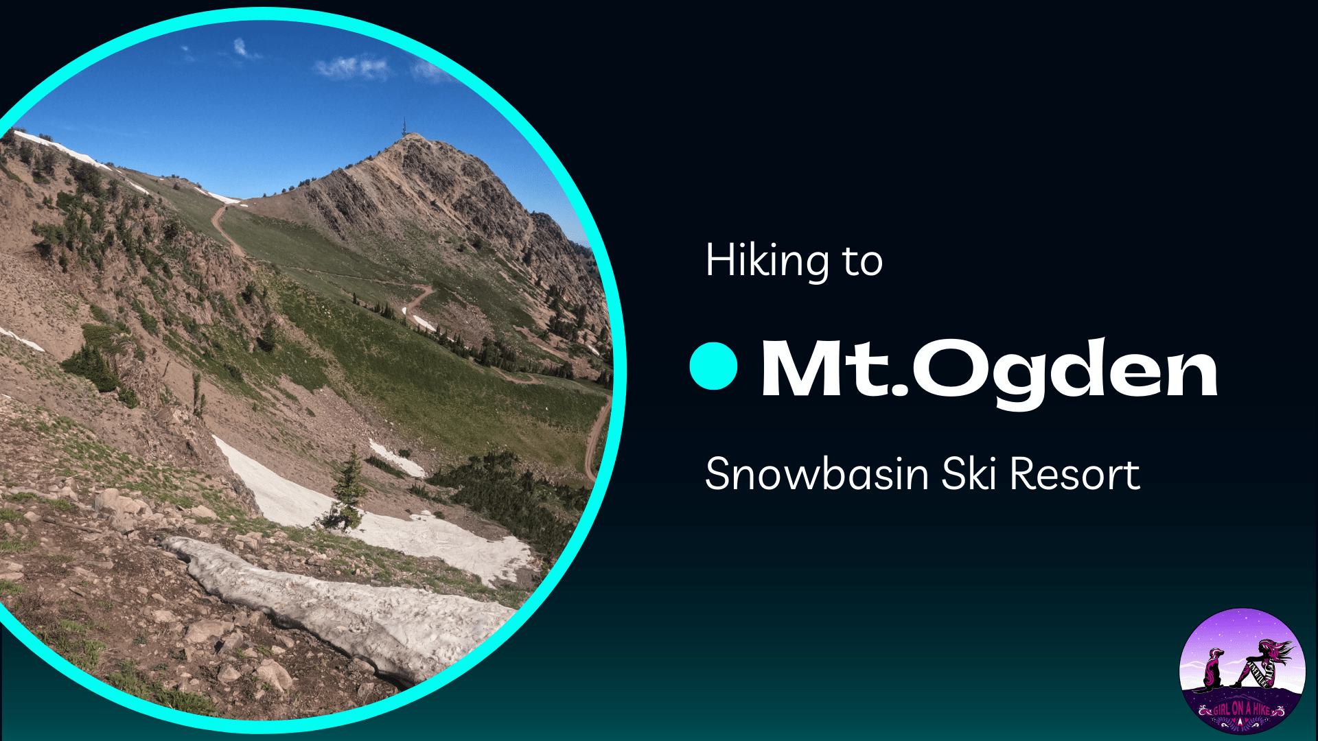
Mt. Ogden (9,579 ft) is home to Snowbasin Ski Resort, where the 2002 Winter Olympic downhill ski races were held. This is a popular summit during the summer when hikers are able to either hike from the base of the mountain, or take the gondola up to the Needles Lodge then traverse to the peak. There are multiple ways you can summit Mt. Ogden – Snowbasin, Taylor’s Canyon, Beus Canyon, or Waterfall Canyon. Rock climbing is available on the East facing slabs of Mt. Ogden.
About
The Needles Trail to Mt.Ogden begins at the top of the gondola. This route is a 4 mile, out-and-back trail. You follow the trail as it makes a few switchbacks to the saddle, then follows the curve of the mountain side. It offers fantastic views of Snowbasin below, the city valley and Antelope Island to the West, and Ben Lomond Peak to the north. Being plenty of water and sunscreen – there is absolutely no shade on this hike. Keep an eye out for rattlesnakes – surprisingly, we came across one at the summit of Mt. Ogden.
Directions
From SLC drive north on I-15 and take exit 395 towards HWY 89 North, just after the Lagoon. Drive 16 miles, then take I-84 East towards Morgan, UT. Take exit 92 for Snowbasin Ski Resort, and continue following the signs for Snowbasin. Here is a map.
Trail Info
Distance: 4 miles RT
Elevation gain: 900 ft.
Time: 2-4 Hours
Dog friendly?
Yes. Technically dogs are to remain on leash on Snowbasin grounds, however, once you are away from people it’s fine to have them off leash as long as they are under control. If your dog is not used to rocky, ridge-type terrain, I don’t recommend they hike with you. For some dogs, the rocks may tear up their paws/pads. Also, if you do bring them, make sure to bring at least 1 L of water per dog.
Kid friendly? Yes, ages 8+
Fees/Permits:
No permit needed. The gondola cost $25 for an all day pass for adults. Dogs can ride for free. Parking at the Snowbasin lot is free.
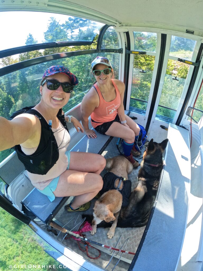
Charlie sits on my lap in the gondola. He was skittish at first to load into the gondola, but once I got him in, he was fine and sat still most of the time.
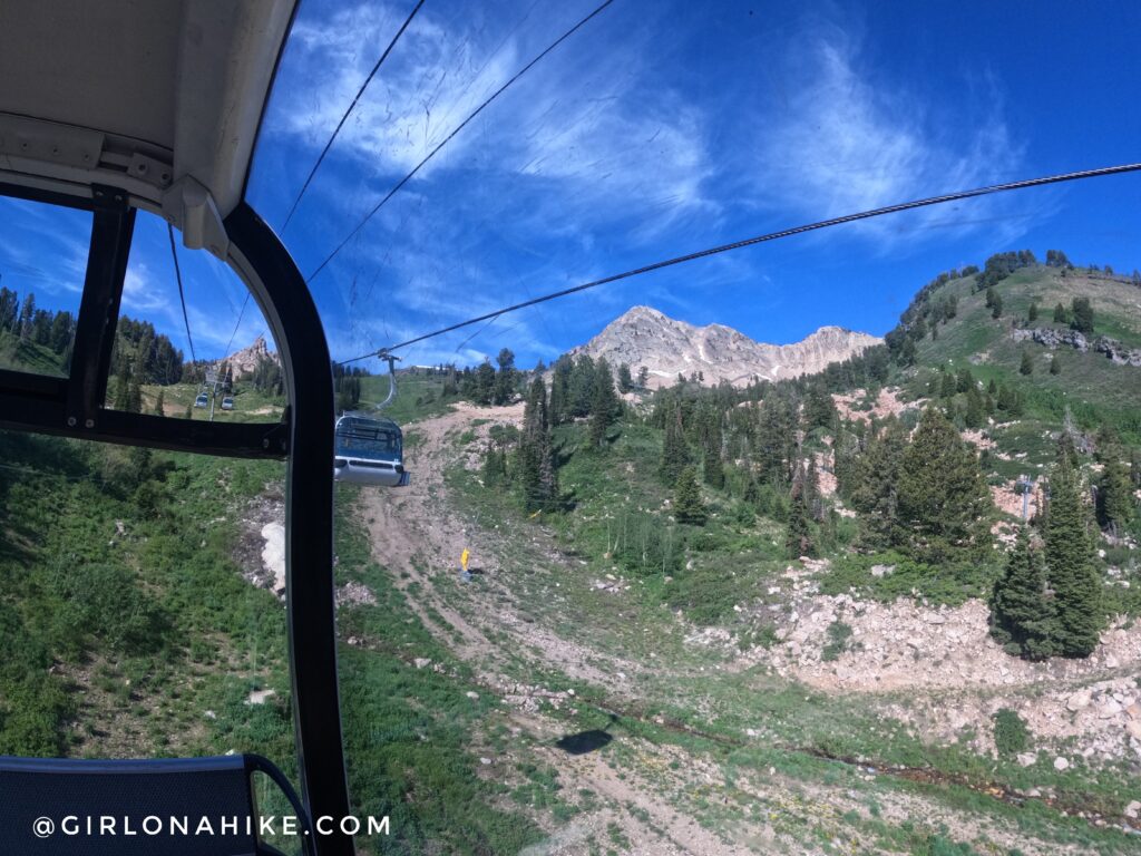
Mt. Ogden as seen from the gondola!
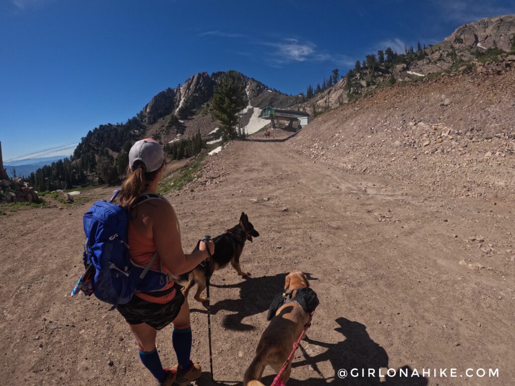
Once we got off the gondola, we headed left, towards the Needles Trail.
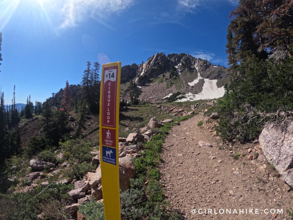
Follow the sign to the right for Cirque Loop.
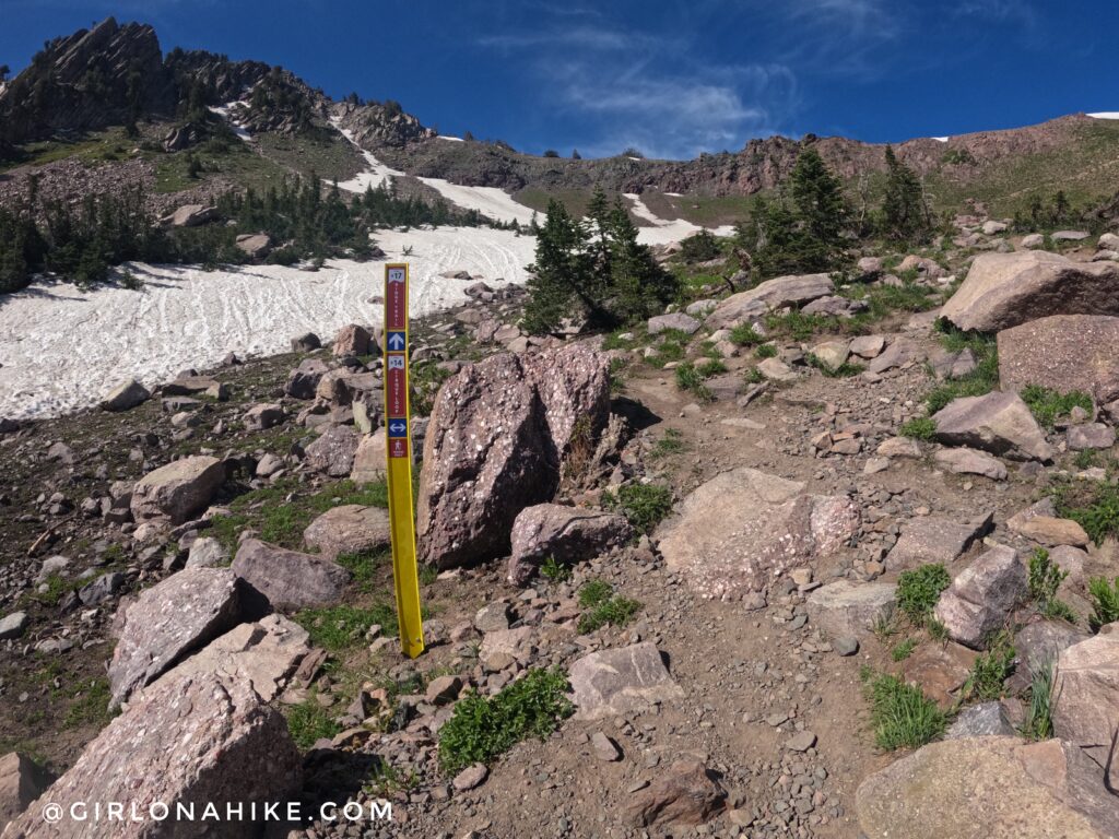
Take one more right, which will now lead you up to the saddle.
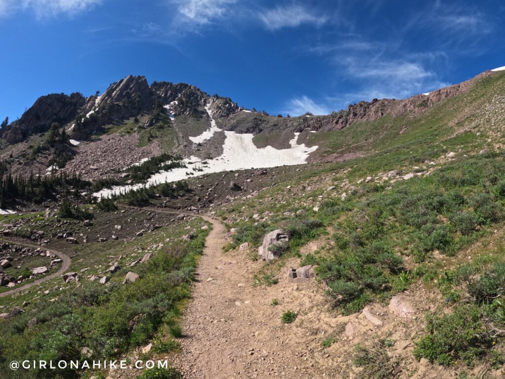
Long switchbacks lead the way to the saddle. This peak ahead is De Moisy Peak, which is another fun climb, but for another day.
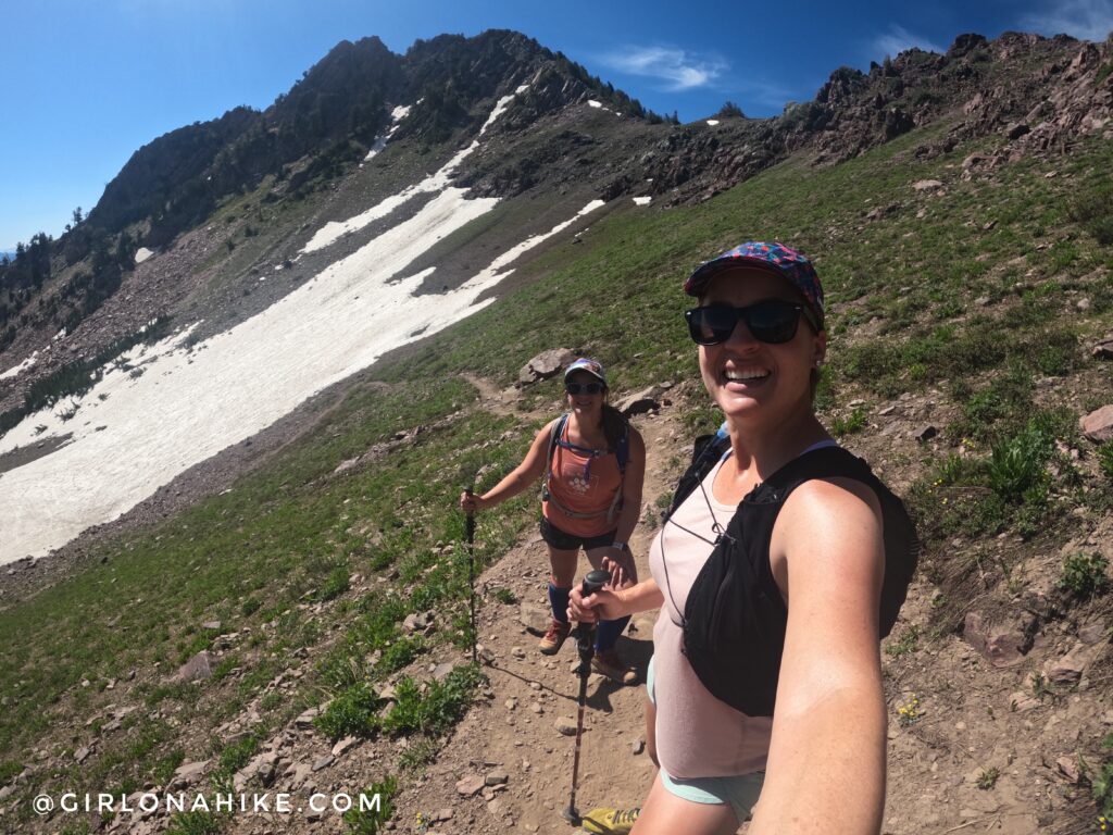
What a gorgeous day to be outside!
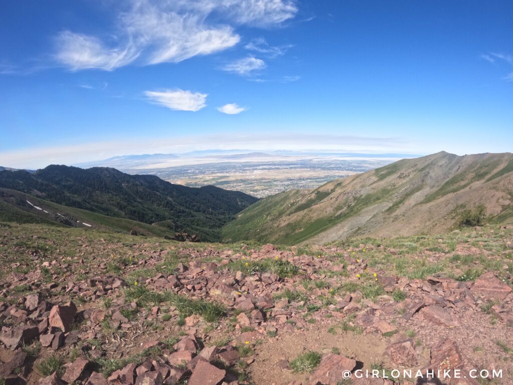
At 0.5 mile, you will reach the saddle and have a great view of Bountiful/Farmington area. Keep right.
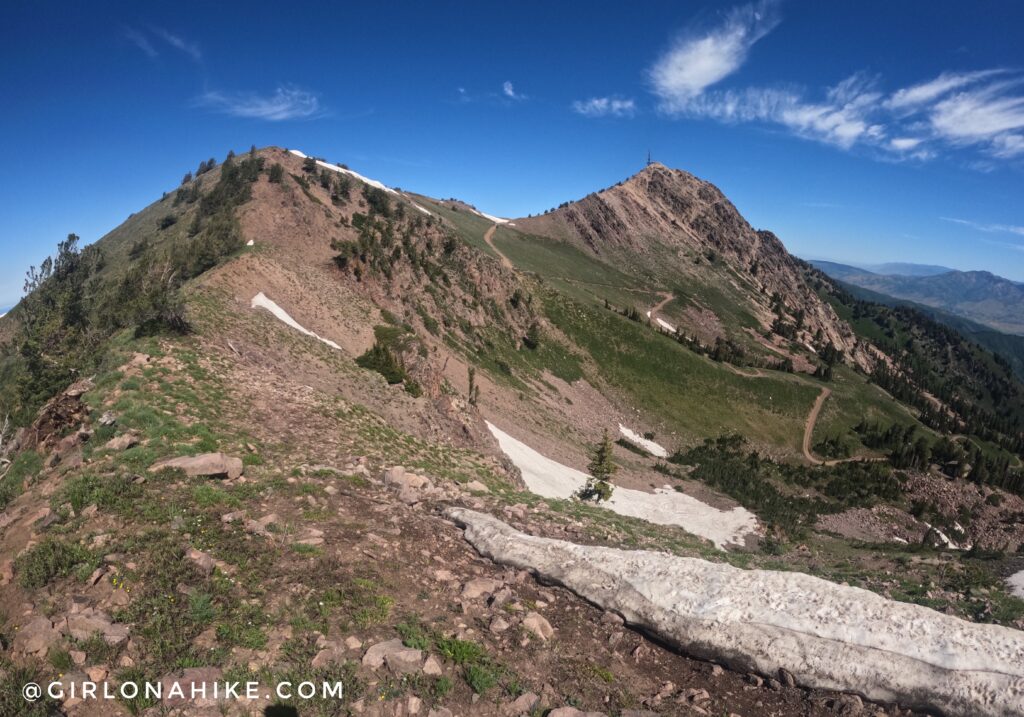
You can finally see Mt.Ogden from the trail! The trail leads to this cool spot, then starts to wrap around this first hill.
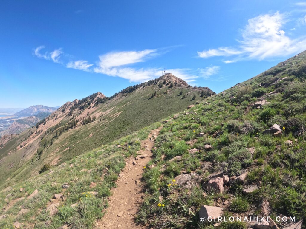
The trail is very well defined, and will lead you to the next saddle.
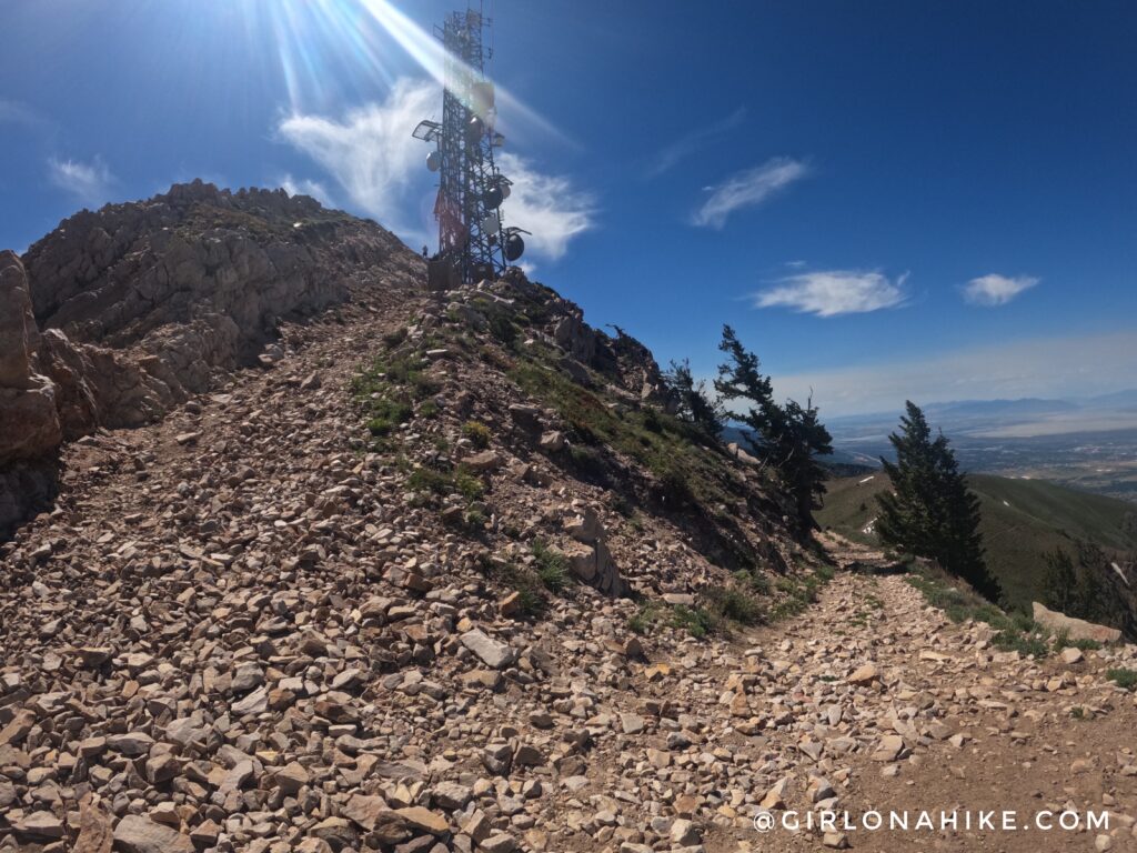
As you get closer to Mt.Ogden, the trail turns into the old road, and it gets very steep with loose rock. This is the hardest section due to how slippery the trail gets. Once you get to the base of the peak, just climb up however you feel comfortable.
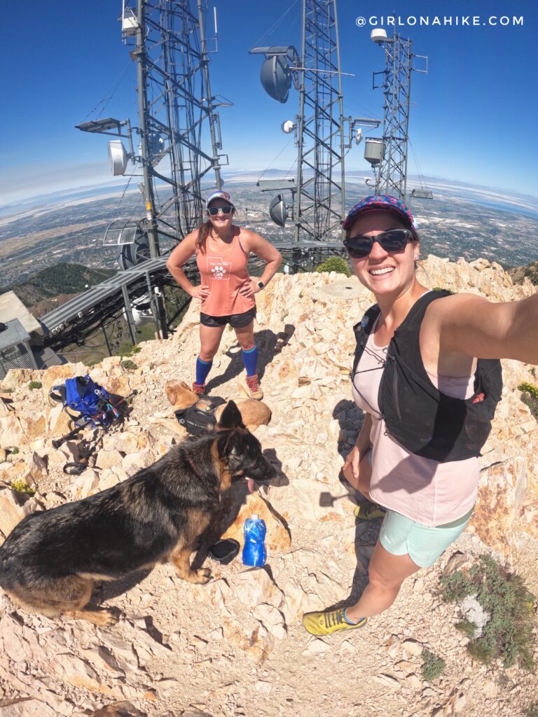
Yay, on the summit!
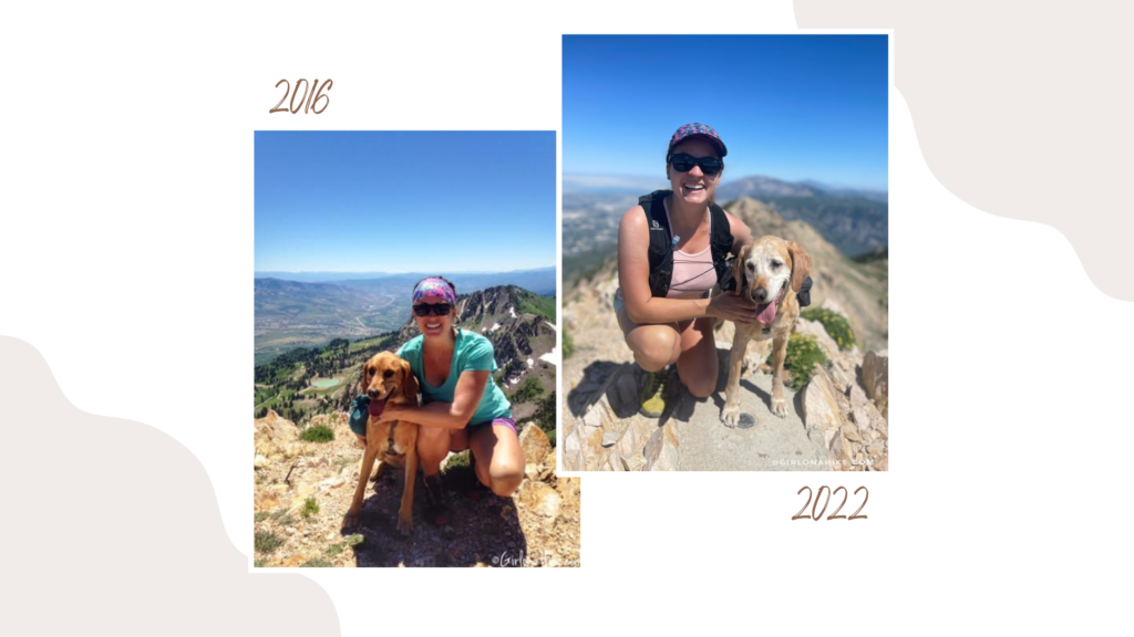
Mt.Ogden our first time in 2016 vs 2022!
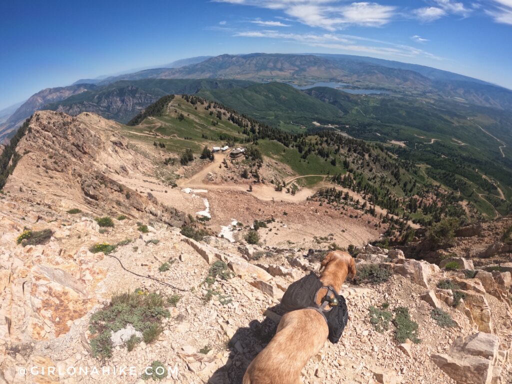
What a view!

After you are done hiking, head down the Blues, Brews, & BBQ Festival for a beer, tasty food, and great music, held every Sunday!
Trail Map
My track via Gaia GPS – the best tracking app! Get your app here for a discount.

Save me on Pinterest!
