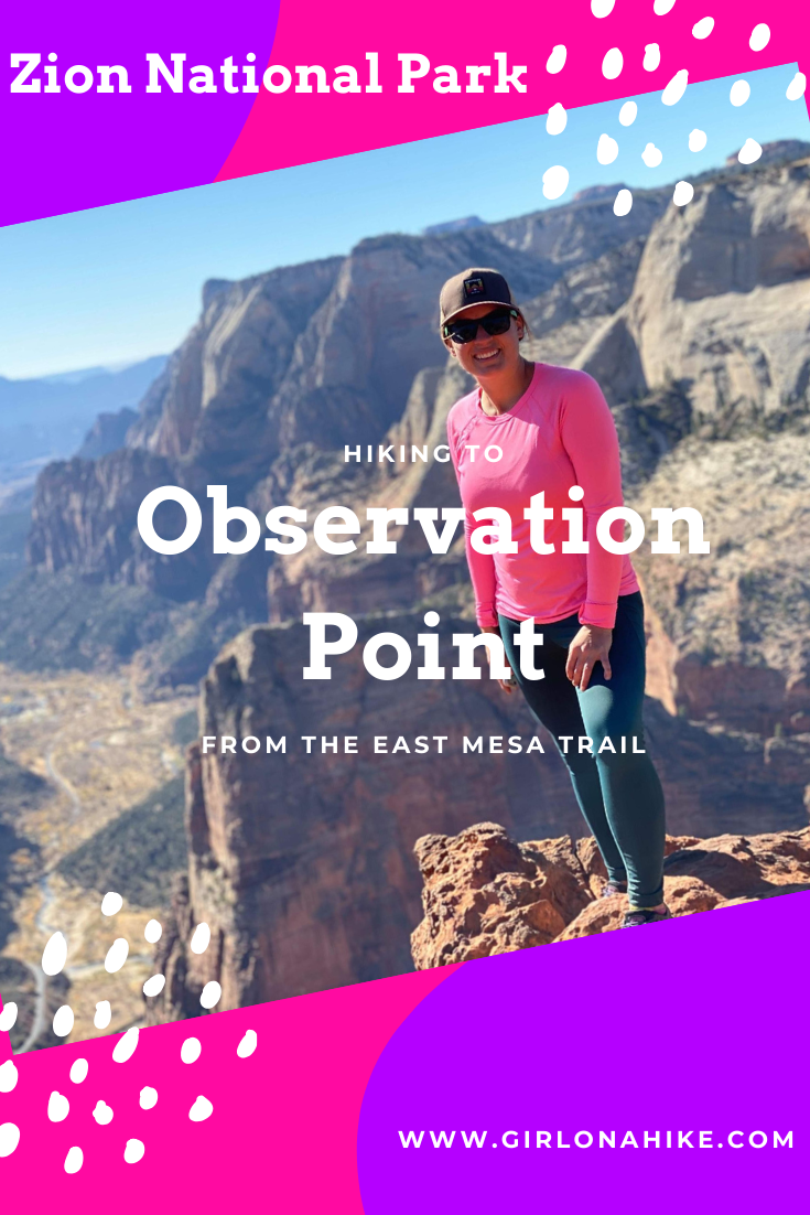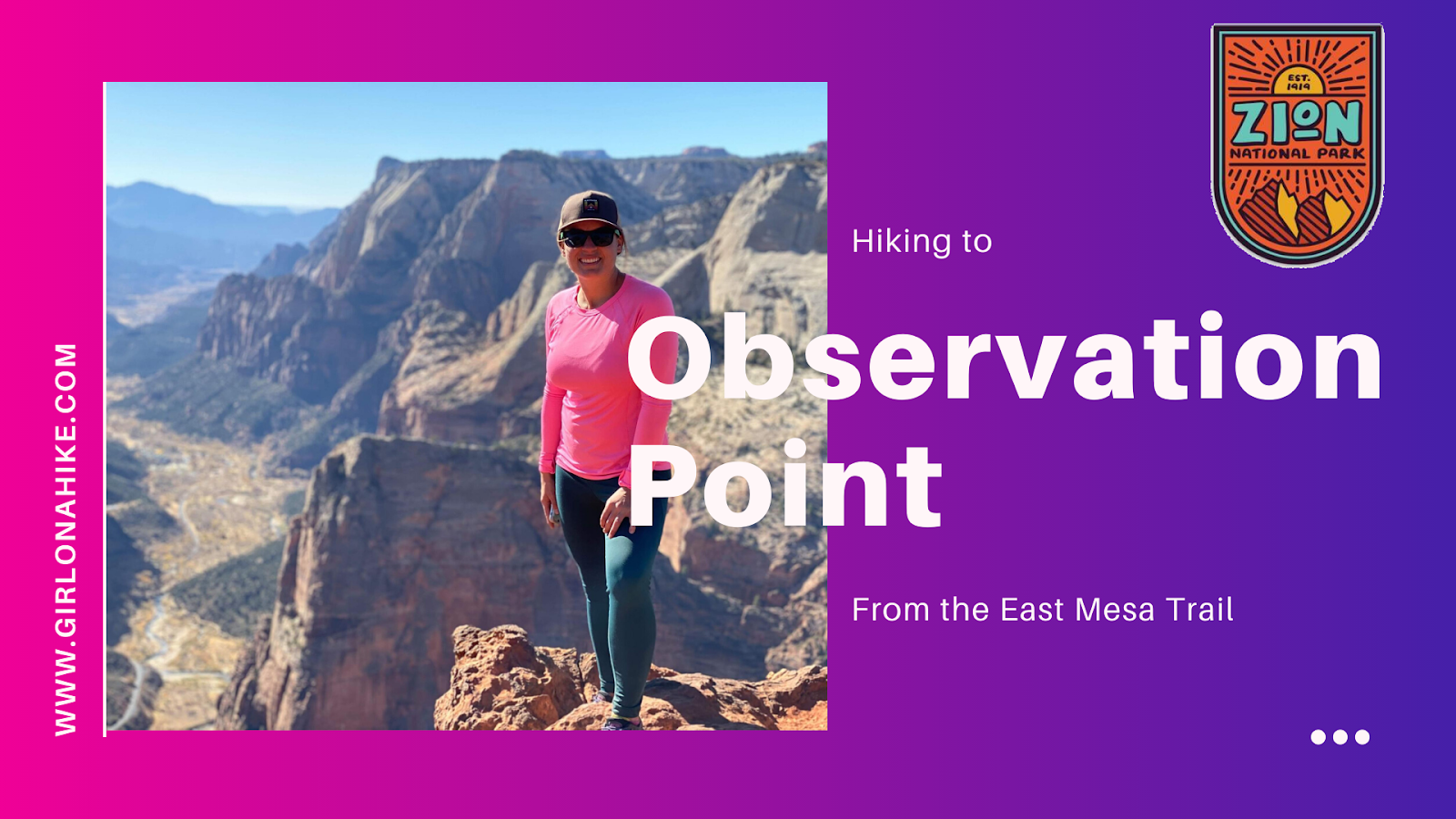
Observation Point – One of Zion National Park’s Best Viewpoints
Observation Point is one of the most breathtaking overlooks in Zion National Park, offering panoramic, 360-degree views of Zion Canyon, the Virgin River, Angels Landing, The West Rim Trail, and even Signal Peak to the west.
At an elevation of 6,507 feet, Observation Point sits about 800 feet higher than Angels Landing, giving hikers a unique perspective that can’t be beat. It’s truly one of the most iconic hikes in Utah and a must-see for visitors to Zion.
Trail Access Update – Why the Original Trail is Closed
Before August 2019, hikers could access Observation Point via an 8-mile round-trip trail from the Weeping Rock Trailhead. However, a major rockfall from Cable Mountain caused extensive damage, and the trail has since been closed indefinitely.
If you’re hiking in the park, look up toward Cable Mountain from below—you’ll see the massive rockslide scars. It’s unclear when (or if) the original route will reopen.
Hike Observation Point via East Mesa Trail
Don’t let the Weeping Rock closure stop you—there’s still a great way to hike to Observation Point! The East Mesa Trail is an easier and family-friendly alternative, with a shorter route and far less elevation gain.
The trail is mostly flat, with one short hill. Even kids can manage this hike with ease, making it a great day trip if you’re short on time or want to avoid steep climbs.
Observation Point via East Mesa Trail is a hidden gem with epic views and a much easier route than the now-closed Weeping Rock path. It’s the perfect hike for those wanting to experience Zion’s grandeur without the challenge of Angels Landing or steep canyon switchbacks.
Driving Directions to East Mesa Trailhead
Getting to the East Mesa Trailhead requires a bit of effort, but it’s well worth it. Here’s how to get there:
From the Zion National Park Visitor Center, drive east on Highway 9 for about 22 miles, passing through the Zion-Mt. Carmel Tunnel and out the East Entrance.
Turn left onto North Fork County Road, following signs for “Observation Point Trailhead.”
Continue 5 miles past Zion Ponderosa Ranch, then turn left on Twin Knolls Road (look for a green street sign; there is no official sign for Observation Point here).
The road turns to dirt—keep going straight until you reach a T-junction with several signs. Turn right.
From here, follow the signs to Observation Point. The trailhead is clearly marked.
🚗 Road Conditions: Avoid driving this route during or after rain, as the dirt roads can become muddy and impassable. A 4×4 vehicle is ideal, but in dry conditions, most vehicles can make it to the trailhead.
Tips for Hiking Observation Point
Bring plenty of water—there’s none available at the trailhead.
Use sun protection—there’s limited shade.
Start early to avoid mid-day heat and crowds.
There are no restrooms at the East Mesa Trailhead, so plan ahead.
Be respectful of the landscape—stay on the trail to preserve the area.
Directions
From the ZNP Visitor Center, drive East on HWY 9 for 22 miles, through the tunnel and past the East Entrance. Turn left at the signed “Observation Point TH”, on N Fork County Road. Drive about 5 miles past the Zion Ponderosa Ranch, then left on Twin Knolls Road. There is no sign for Observation Point here, so watch for the normal green street sign. The road turns to dirt here -continue straight until you reach a “T” in the road with a bunch of signs. Turn right. From here, there are several signs for Observation Point so it’s easy to find. Do not attempt to drive this road during or right after a rain storm as the mud will not be fun to drive through and you can possibly get stuck unless you have 4×4 drive. Otherwise, most cars can make it to the TH.
Here is a driving map. You can also see my maps below.
Trail Info
Distance: 7 miles RT
Elevation gain: 420 ft
Time: 3-4 hours
Dog friendly? No, dogs are not allowed
Kid friendly? Yes, for older kids
Fees/Permits? No
Hiking Observation Point: What to Expect
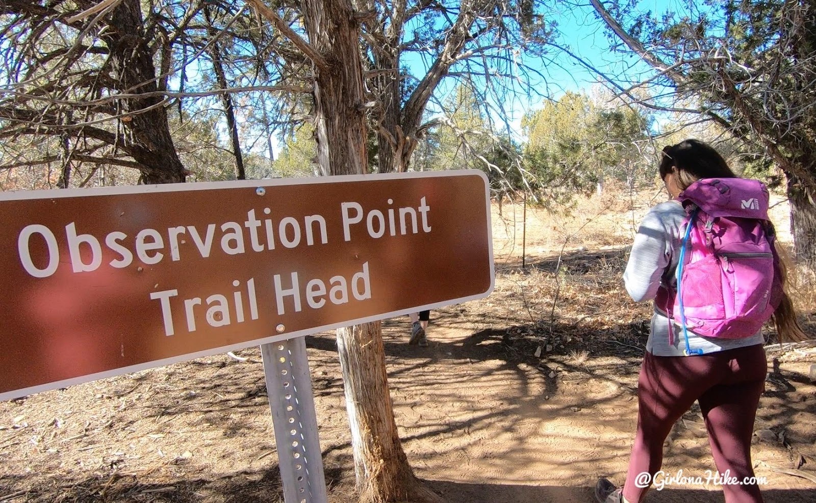
Start by walking to the end of the road where there’s an official sign and fence.
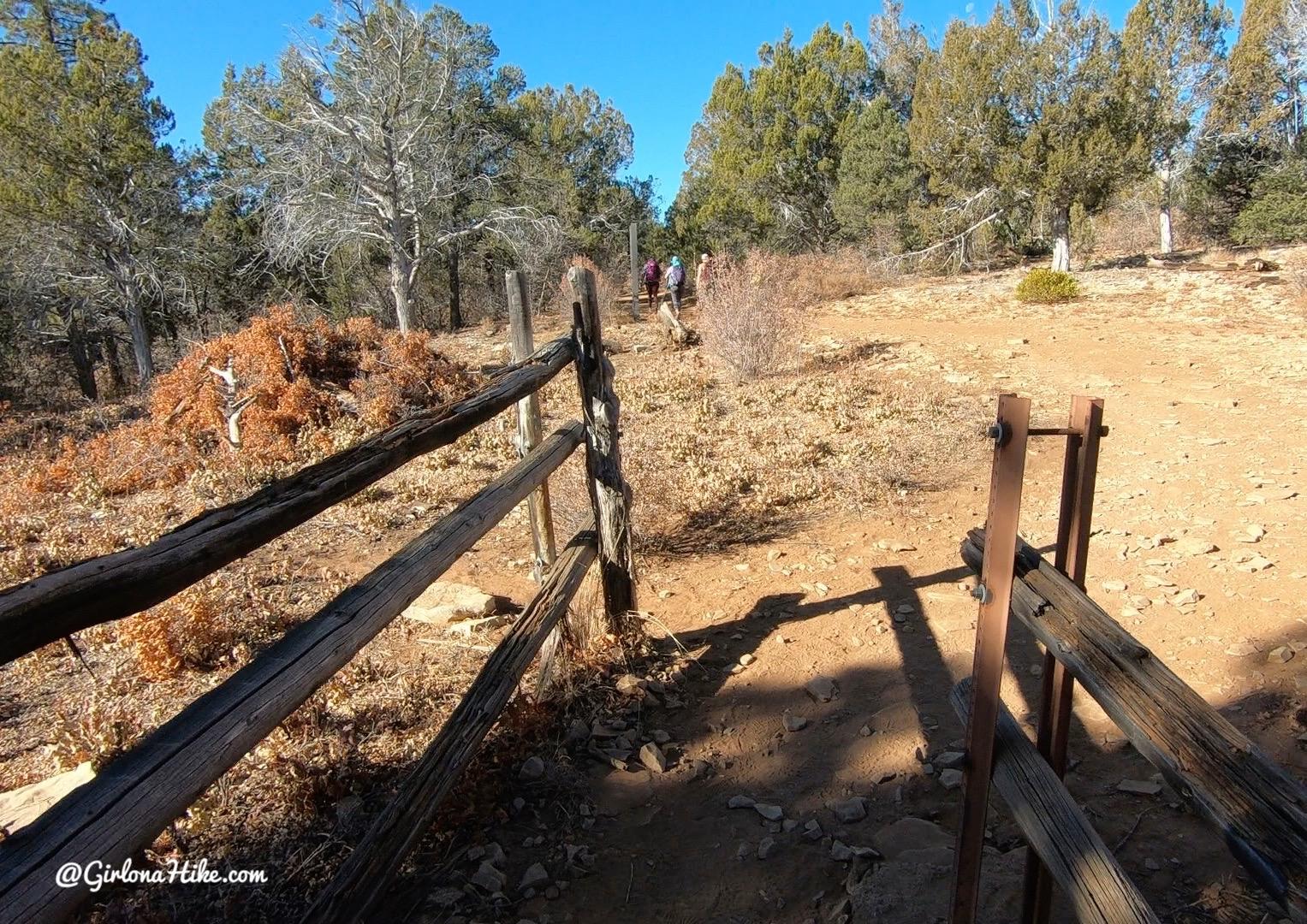
The hike is very flat and shaded the first 2 miles.
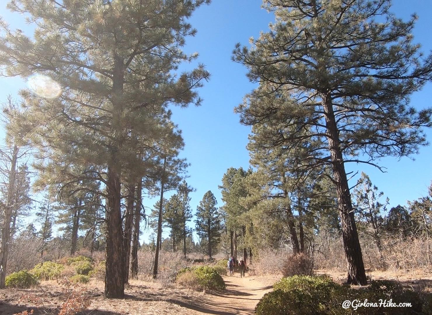
Giant Ponderosa trees!
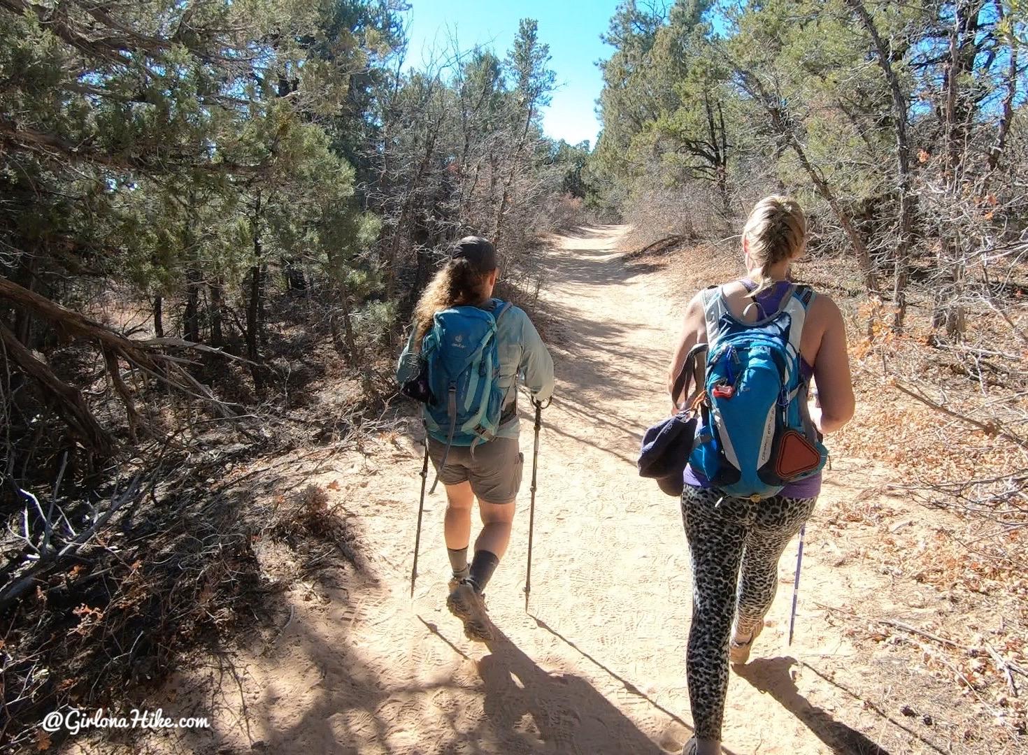
The trail starts to descend slightly the mile 2.2-2.9.
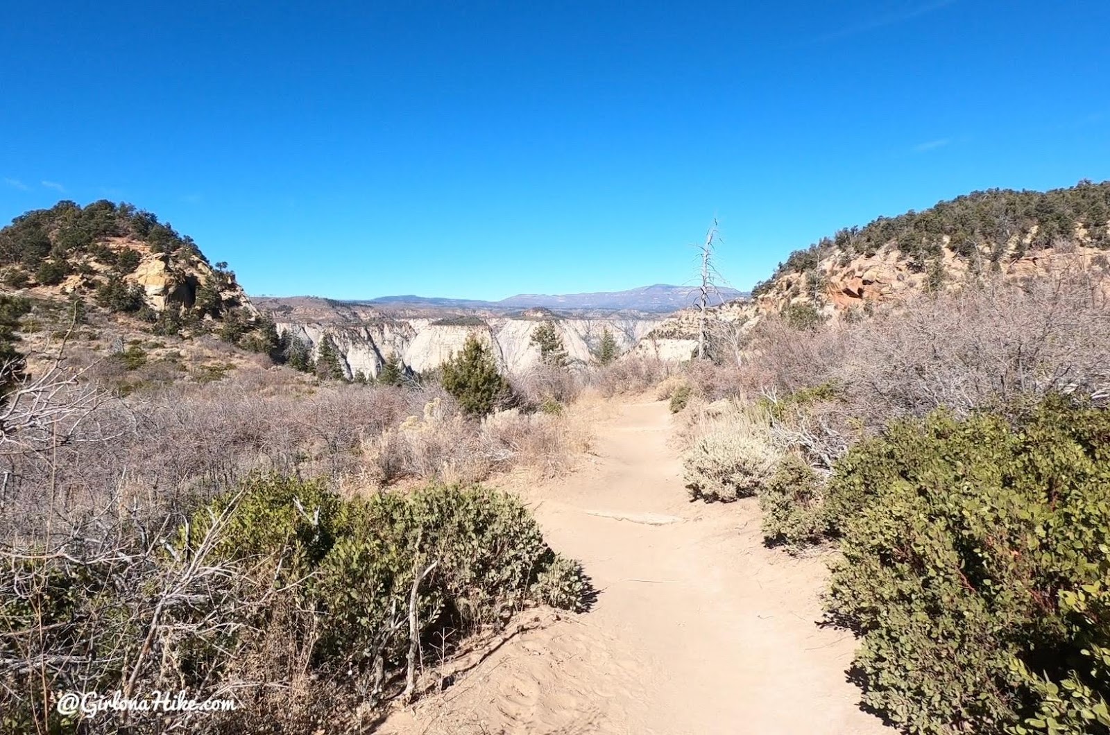
The views then open up and the trail becomes sandier.
Trail Split
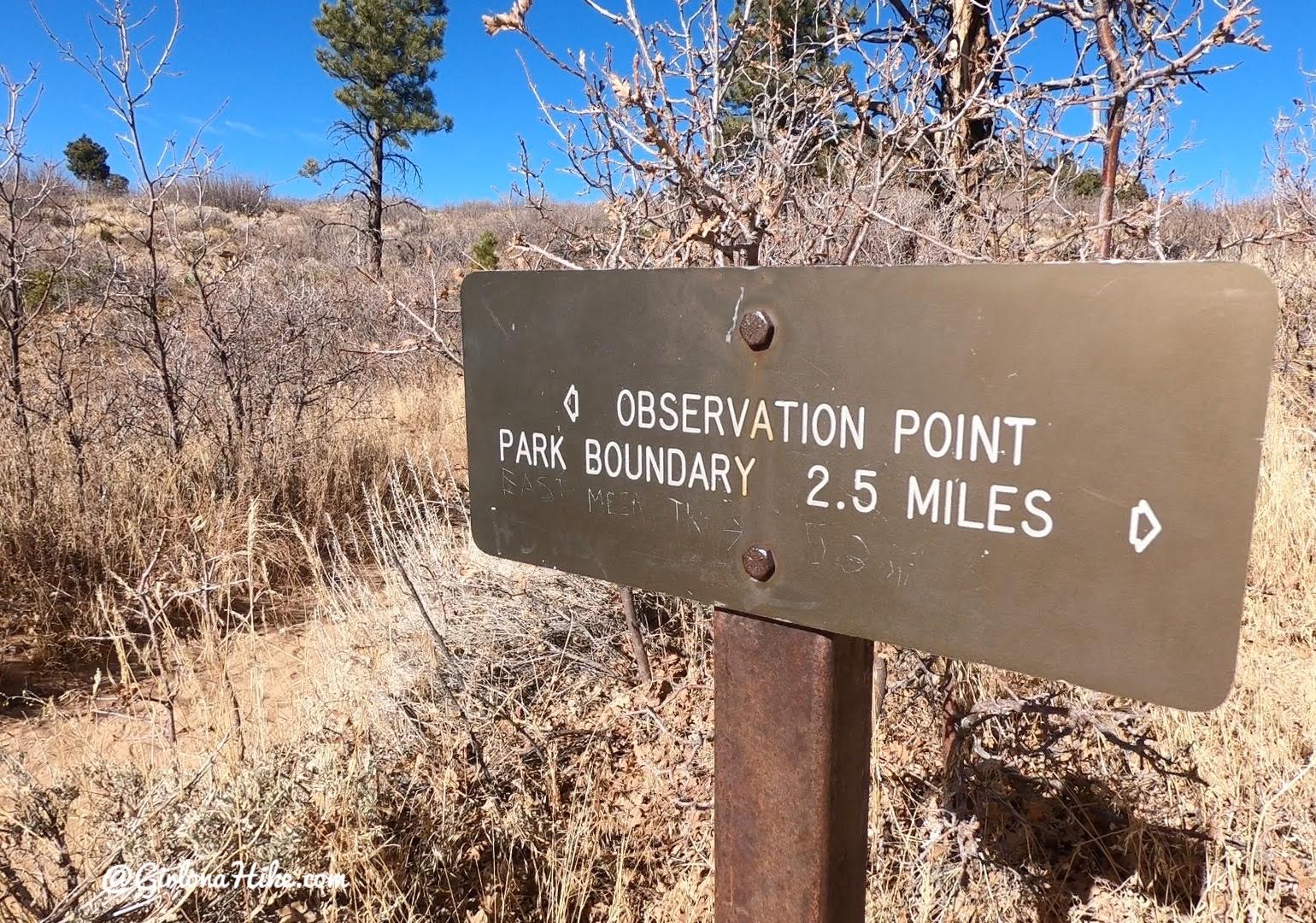
Reach the one and only trail split, turn right. The trail coming from the left is the old trail to Observation Point, before it was closed. You’ll see it blocked off now.
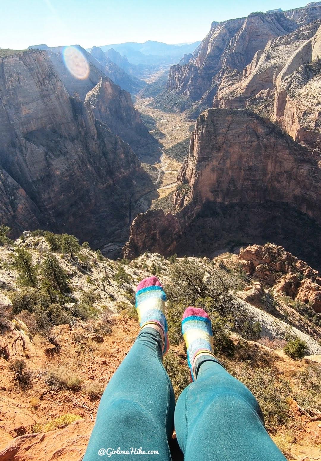
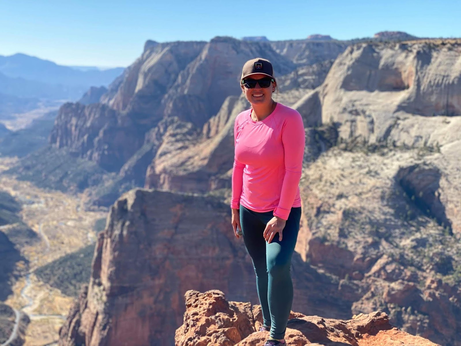
Reach Observation Point at mile 3.5! So cool to look down on Angels Landing! We were there yesterday while hiking the West Rim Trail. I like to take my shoes off at the destination to prevent blisters.
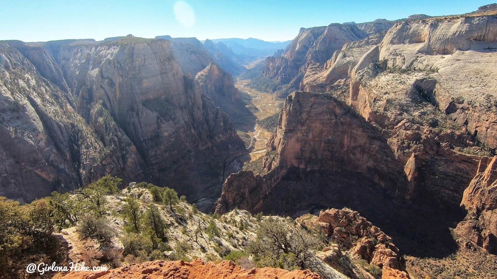
One of my favorite Utah overlooks.
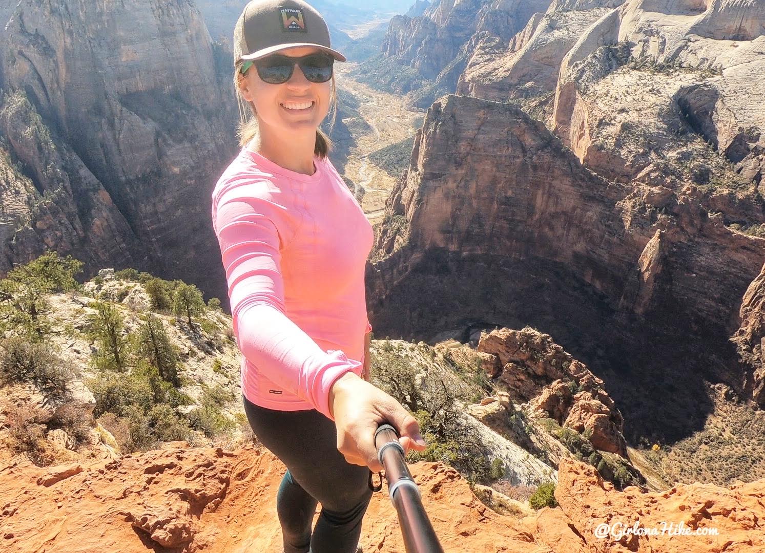
That’s a long ways down to Angels Landing!
I thought the old trail was more scenic the entire way up, but these views still can’t be beat in ZNP! Gotta love Utah!
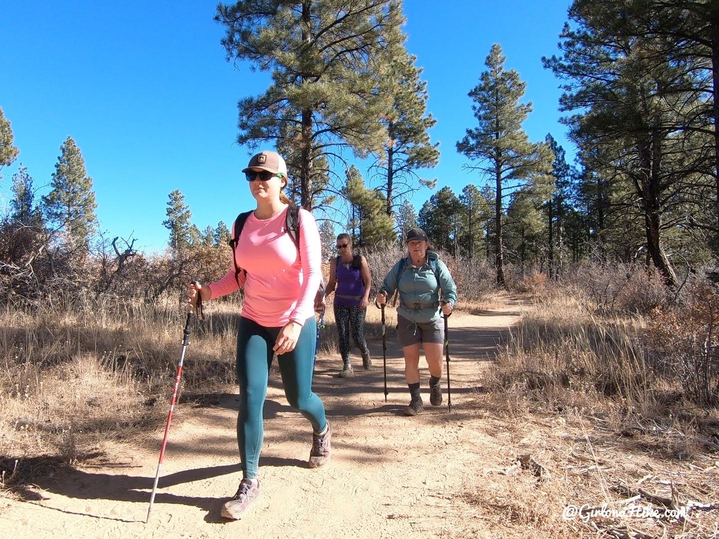
Ladies Day!
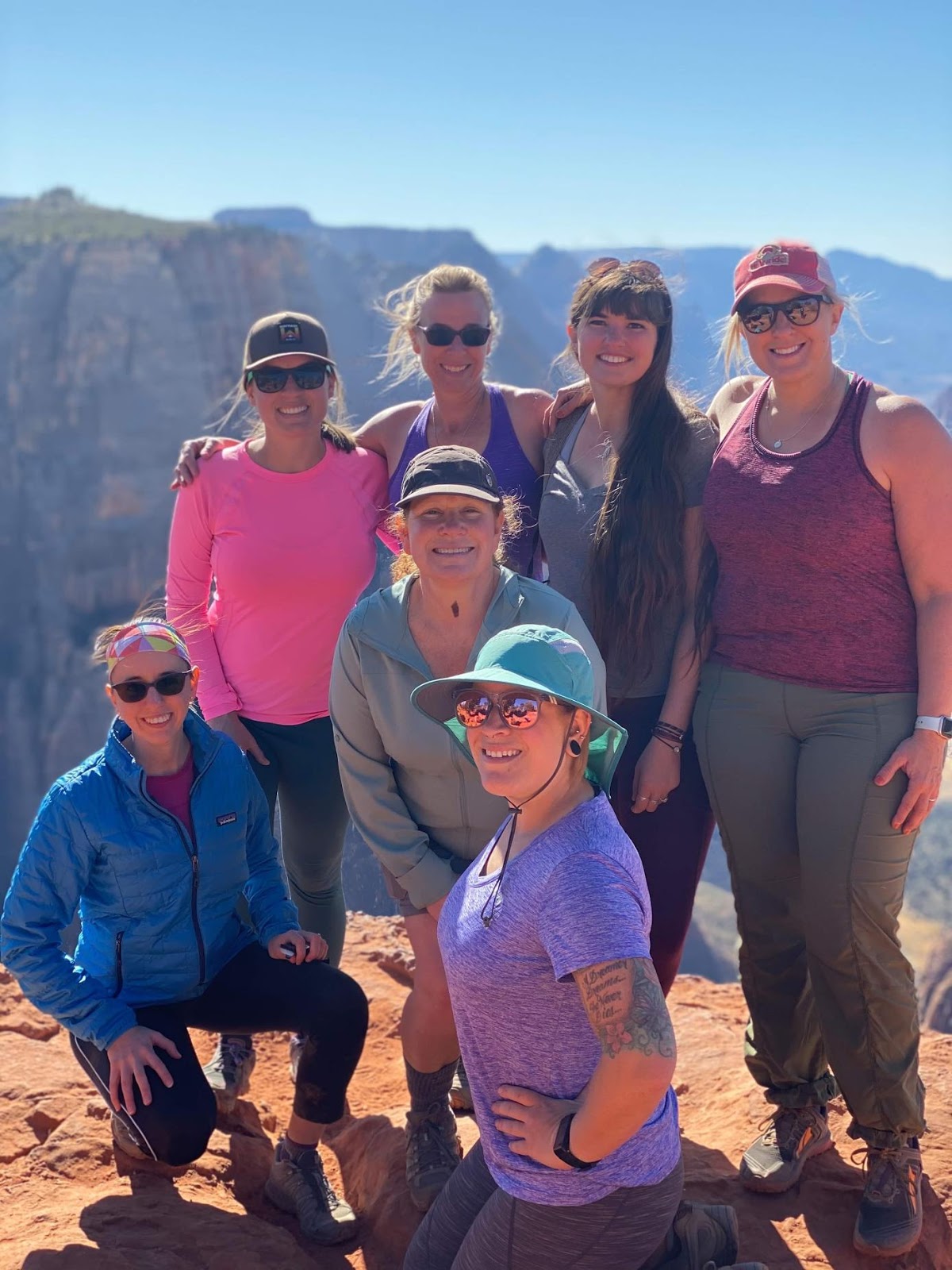
Great day with the girls!
Check out my video!
Trail Map
My track via Gaia GPS – the best tracking app! Get your app here for a discount.
Nearby Hike
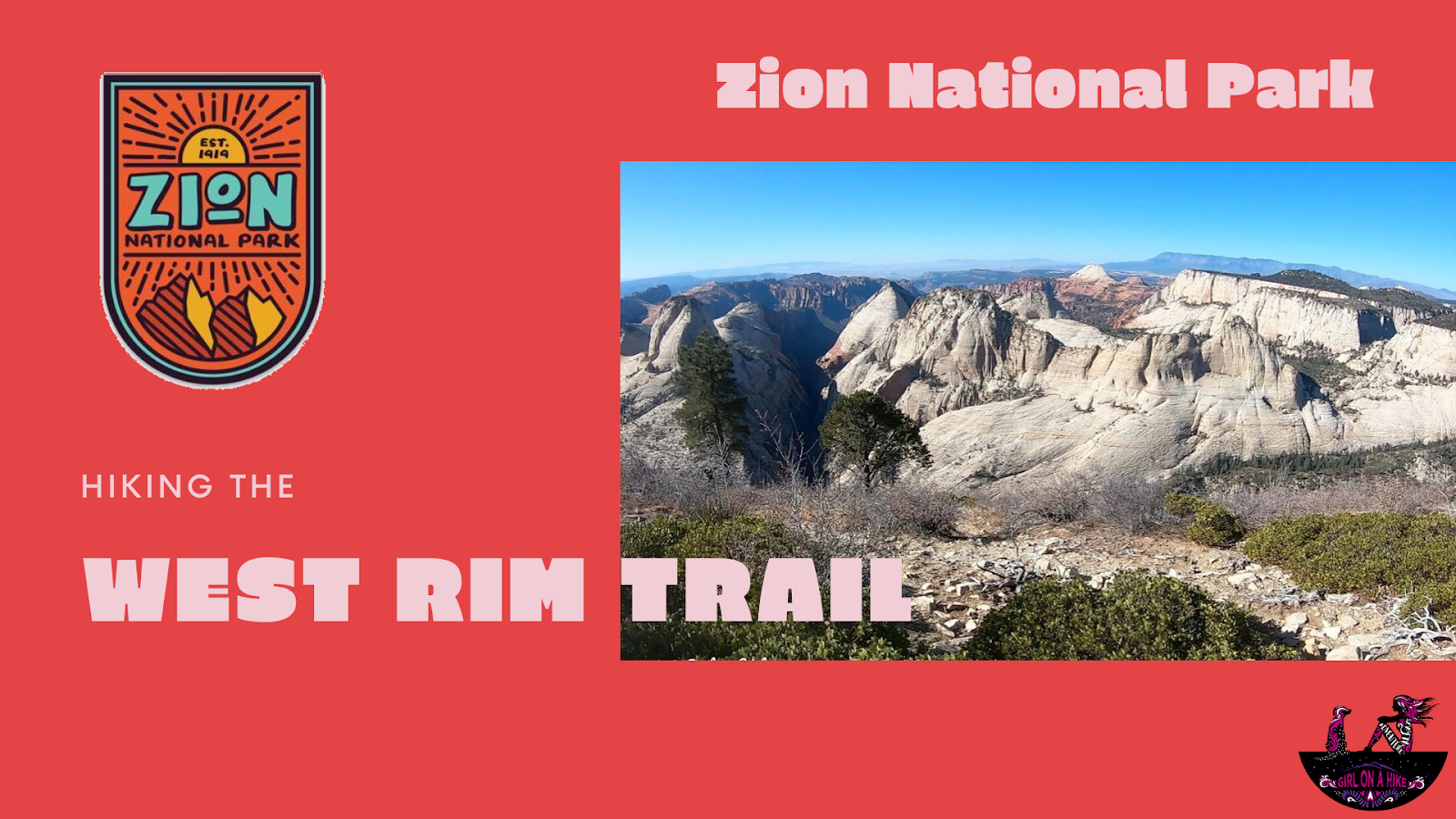
Hiking the West Rim Trail, Zion National Park


Save me on Pinterest!