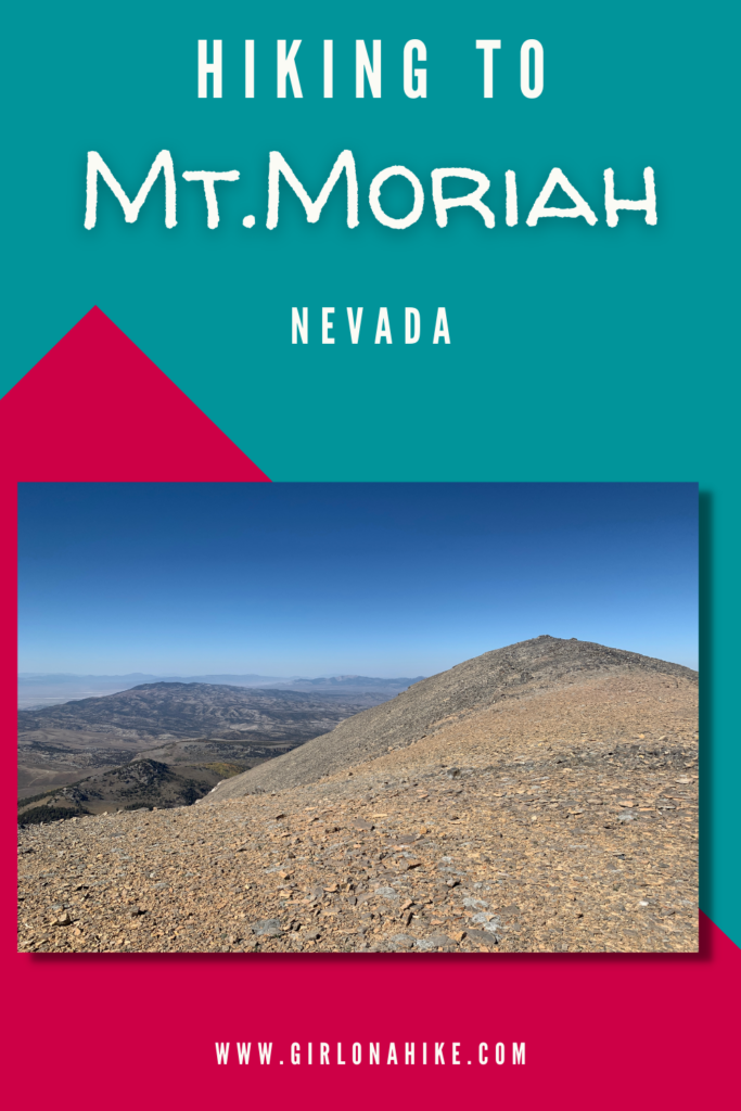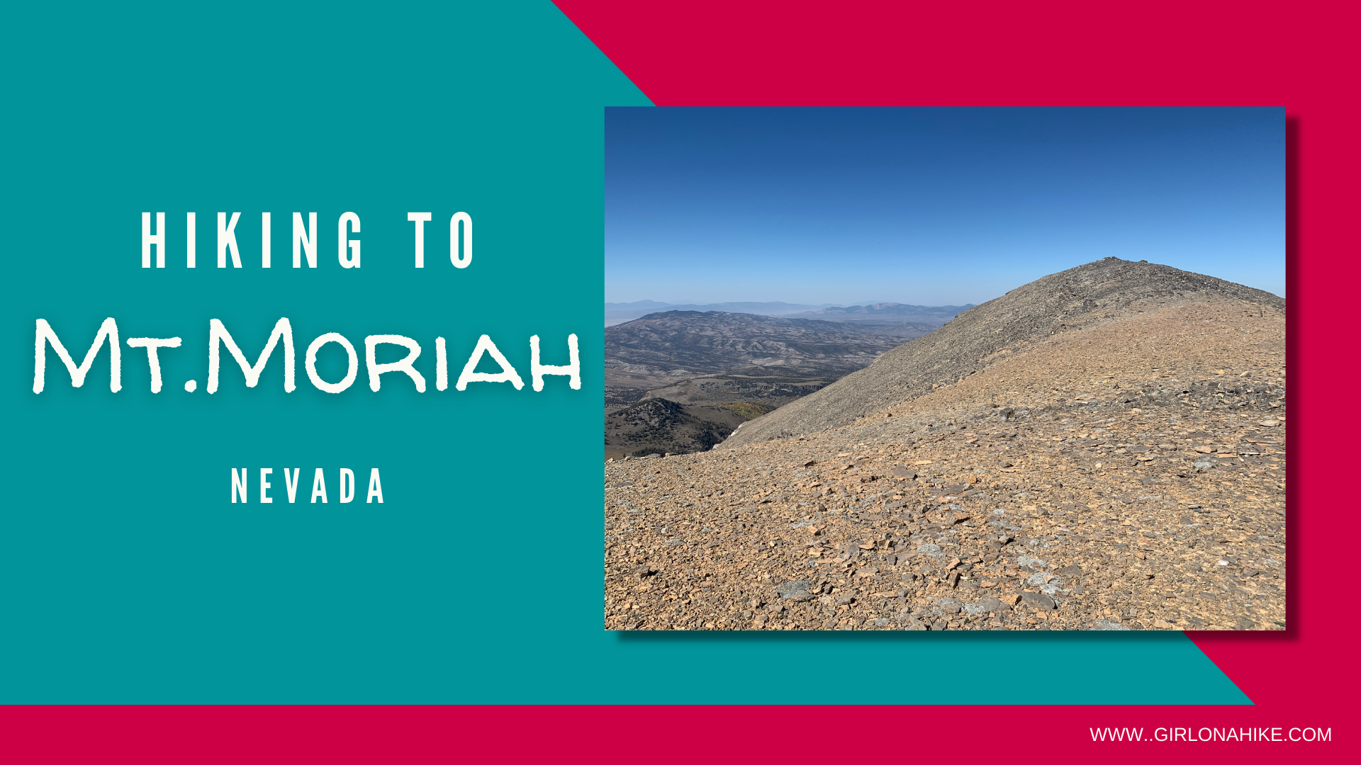
Mt.Moriah (12,073 ft) is located within Mount Moriah Wilderness in Nevada. This peak is often overlooked by its neighbor to the South, Wheeler Peak, in Great Basin National Park. But that is what I loved about this area – we passed very few people on the roads, and literally no one on the trail! Mt.Moriah is very remote and 4WD and high clearance is needed to reach the trailhead.
About
The trail itself starts out by dropping into a small canyon, before hiking up many switchbacks to “The Table”. From there, you leave the trail and need to use your topo and directional skills to make it up to the small saddle. Eventually, you will pick up a light hikers/pack trail before reaching the summit. The best time of year to hike this is July – October when the road is dry and accessible, and there is no concern for avalanche danger. There is plenty of free camping all over the mountain, but just remember the closest gas station is on State Line near Baker, NV, so make sure you are self-sufficient with water, food, and gas. Dogs will do well on this trail as long as they are used to rocky terrain.
Directions
After crossing the Utah / Nevada border it is 21 miles to the turnoff road that heads north. Take a right on the turnoff road here (White Pine county road 37), which heads east at first and then continues north. Go approximately 11.8 miles on the road to Forest Road 469, which is just before a fence and cattle guard. Take a right on FR-469 and start heading up the mountain. This road gets steep and narrow and high clearance/4WD is absolutely needed; only trucks, Jeeps, and ATVs can make the drive. Continue on FR-469 for approximately 10.4 miles to a large bend in the road and a “no vehicles” sign. GPS of Trailhead: 39.301432, -114.211424. Do NOT use Google/Apple Maps, as it doesn’t understand how to get to the trailhead. Plenty of free camping is all around.
Trail Info
Distance: 9 miless RT
Elevation gain: 2,000 ft
Time: 3-6 hours
Dog friendly? Yes, off leash
Kid friendly? No
Fees/Permits? None
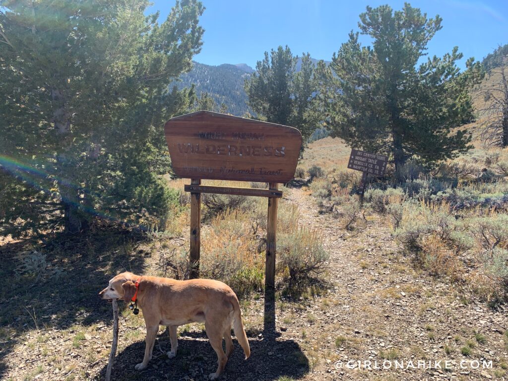
Official TH sign! The parking is is quite large, and you can camp right at the TH if you want. The mileage sign doesn’t actually say Mt.Moriah – just Moriah Table, which is 2 miles. However, you will eventually branch off of the main trail at 2.7 miles. For now, head down into “Big Canyon” for 1 mile.
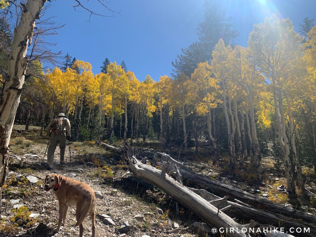
Around 1.4 miles the trails starts to gain elevation and you will hike up several switchbacks.
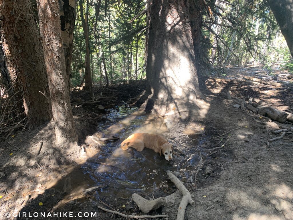
We got quite a late start (noon), so Charlie was already ready to cool off in a spring.
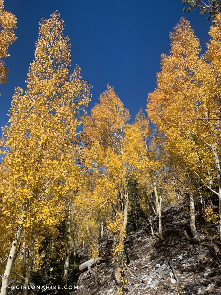
Wow! Fall is definitely the time to visit.
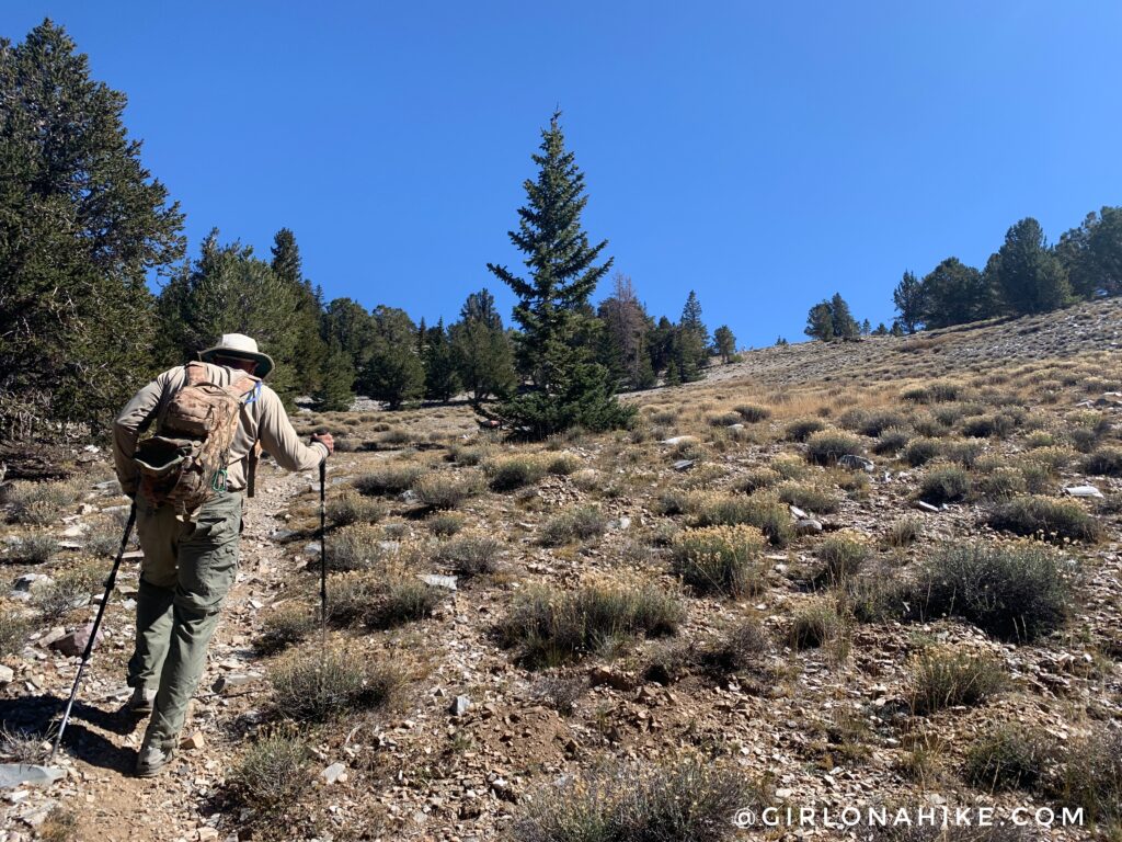
Whew those switchbacks get pretty steep. Almost to The Table.
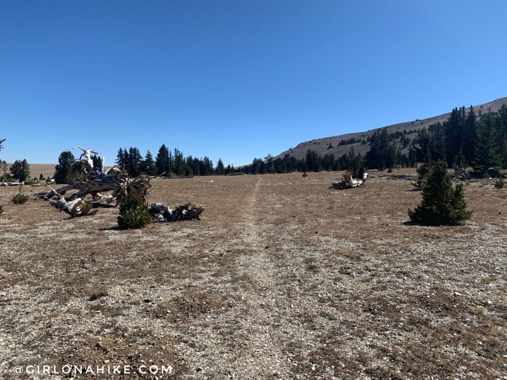
Exactly at 2 miles you will reach The Table (as marked on Gaia GPS) or Moriah Table on other maps. The trail is completely flat for the next 0.7 miles.
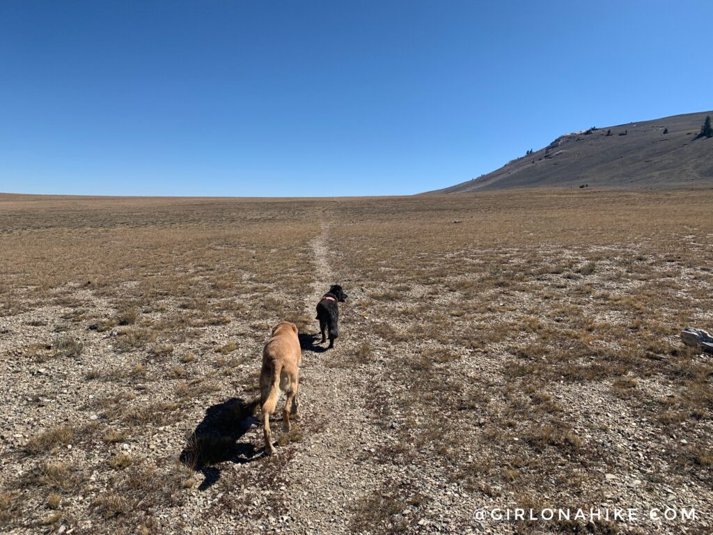
The pups lead the way. What cool, wide open terrain!
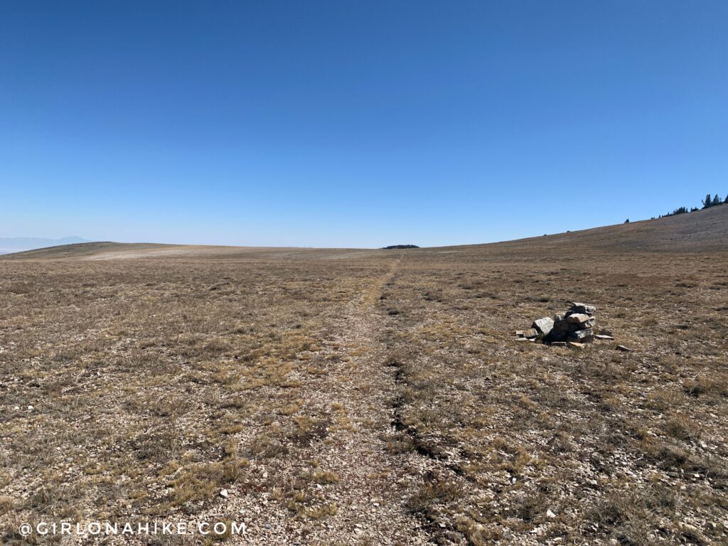
At 2.7 miles, at the 2nd cairn, you will now need to leave the trail and aim for the small ridge to your right in the trees. If you reach the next trail sign or start to drop down, you went too far.
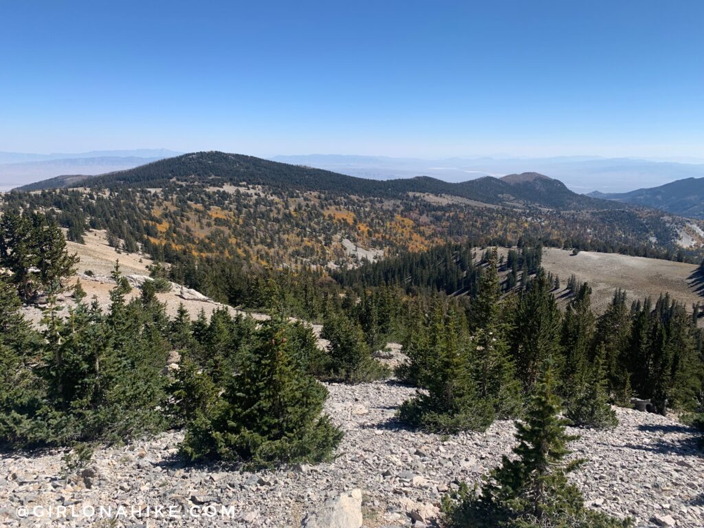
Now you will be hiking off trail for the next 20 minutes or so. This is looking down to where the trail drops down into Hendry’s Creek (East).
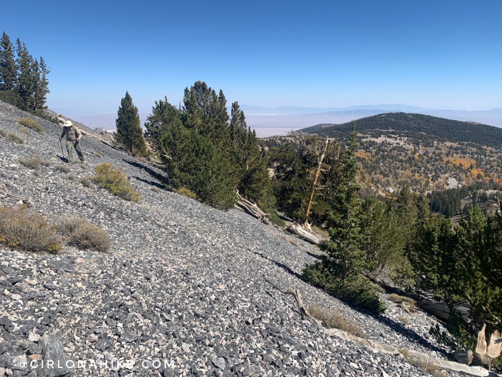
The slope is pretty steep with loose scree. I highly recommend wearing trail gaiters to keep all the rocks out of your shoes. I get mine from Dirty Girl Gaiters (they have both mens/womens styles).
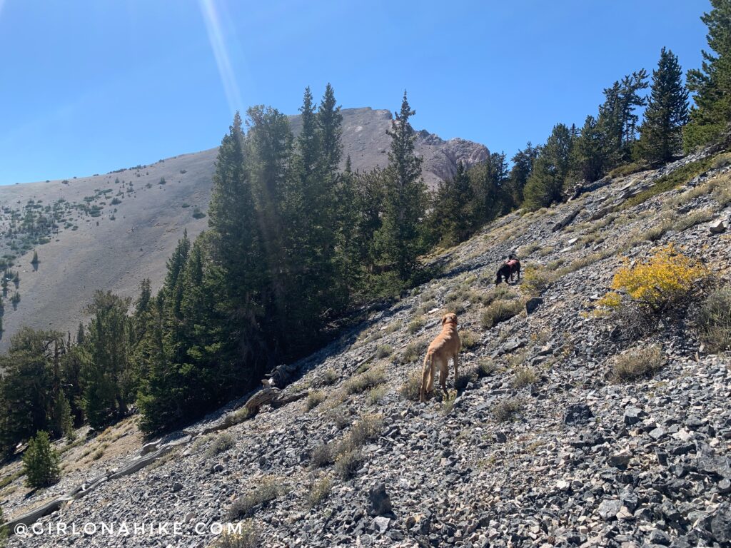
Just aim for the saddle. The peak you see here isn’t actually Mt.Moriah yet!
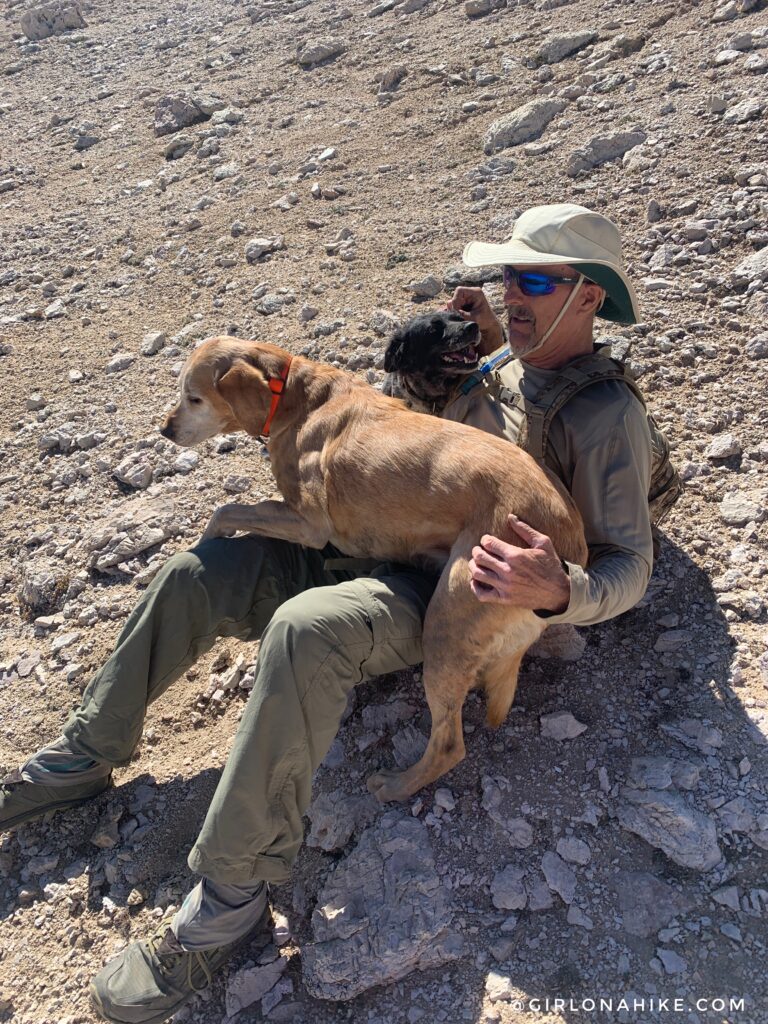
We reached the saddle and the dogs wanted some love before continuing on.
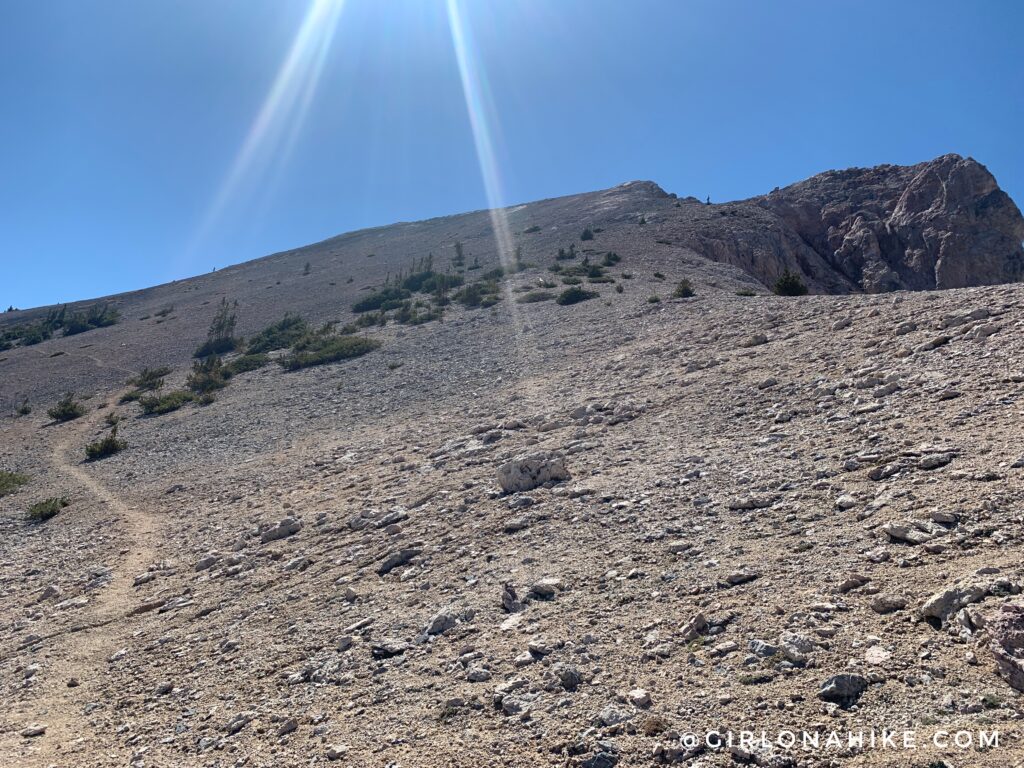
Now you should be on the light hikers trail. Follow this as it wraps around the false peak.
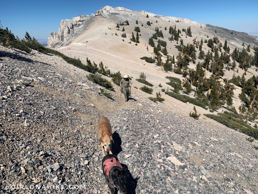
Don’t forget to look back!
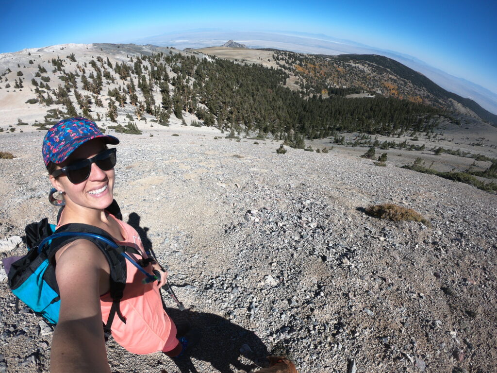
Wow, that’s a little steep! As long as you stay on the trail it’s not as bad as this looks.
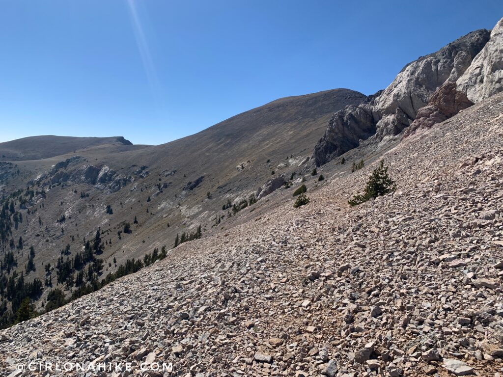
Wrap around the corner and now you can finally see Mt.Moriah (peak on the right)! It’s hard to tell in this photo but the hikers trail continues across the side of the mountain for the next mile.
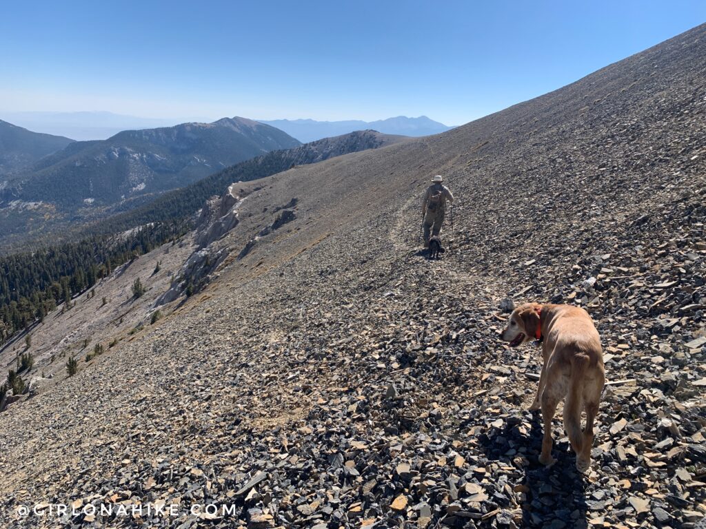
There were two sketchy sections that eroded pretty badly, but we were all able to get through it safely.
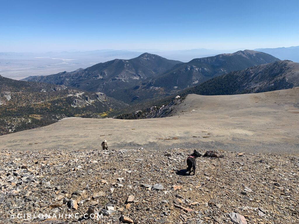
At exactly 4.0 miles the trail fades away. Now, turn right and head steeply up the ridge. This is looking back at Jaycee and Eric.
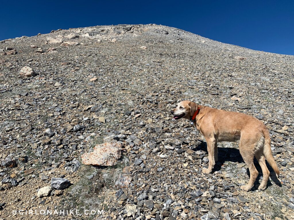
Making our way up to another false summit.
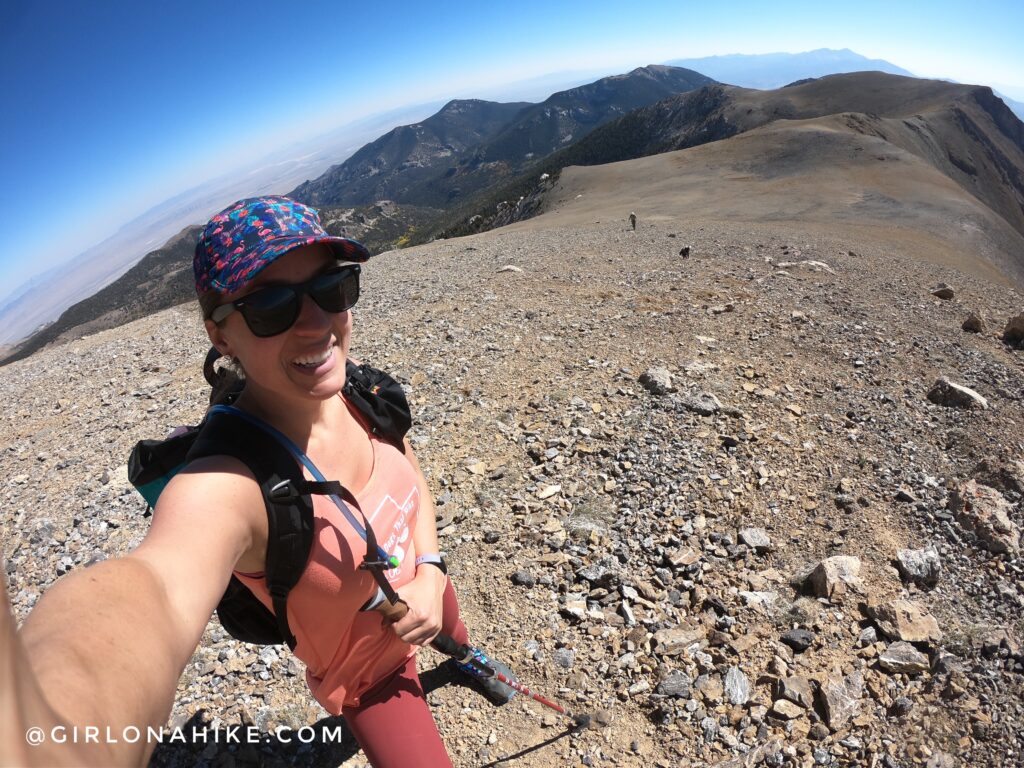
When I start to get close to summiting I get so excited that I pick up my pace. Often times I end up leaving friends behind haha sorry guys! Eric looked so tiny below me. This entire ridge just blew me away with how pretty it was.
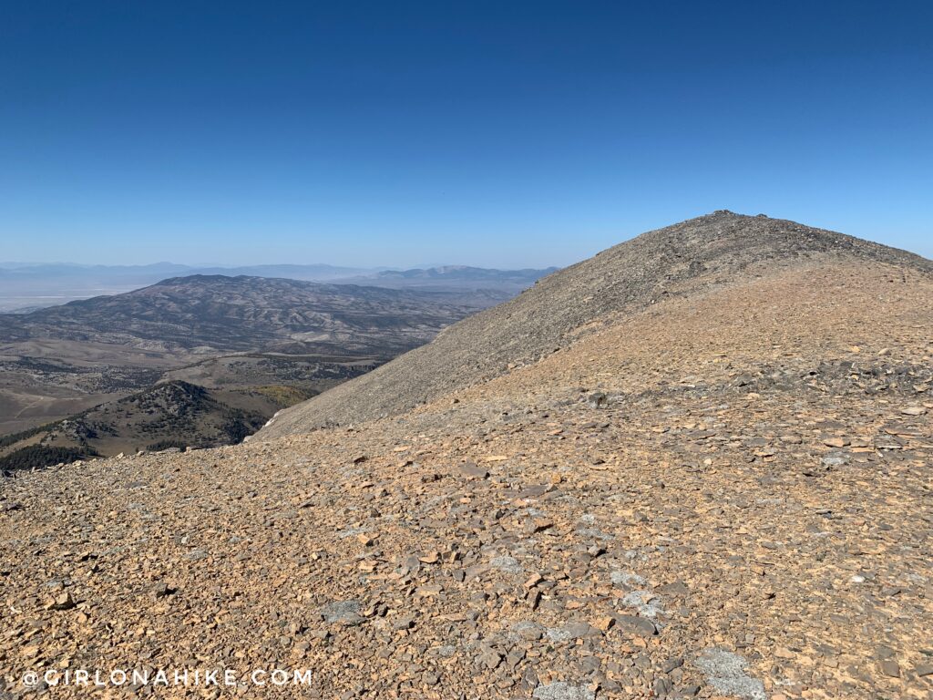
Ok finally, Mt.Moriah is in sight.
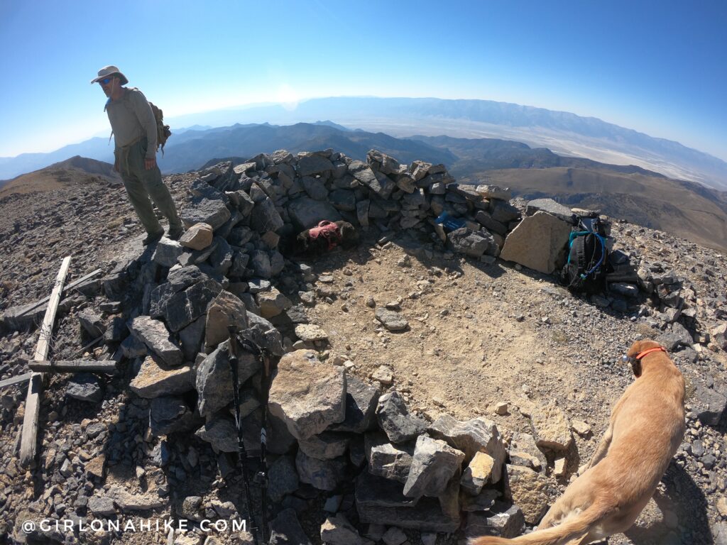
It took us exactly 3.5 hours to summit. We stayed on top for only 10-15 minutes or so. Enough to have a snack, sign the register, take my shoes off, and then we were headed back down the same way.
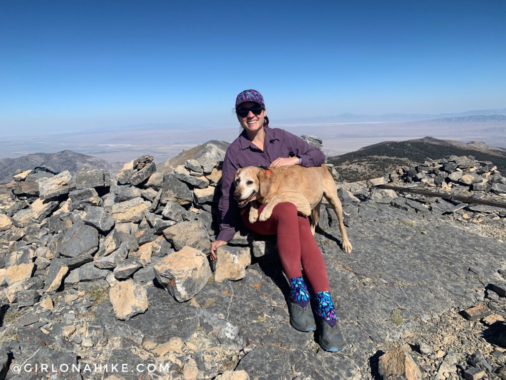
Whoohoo so happy to have finally done this peak!
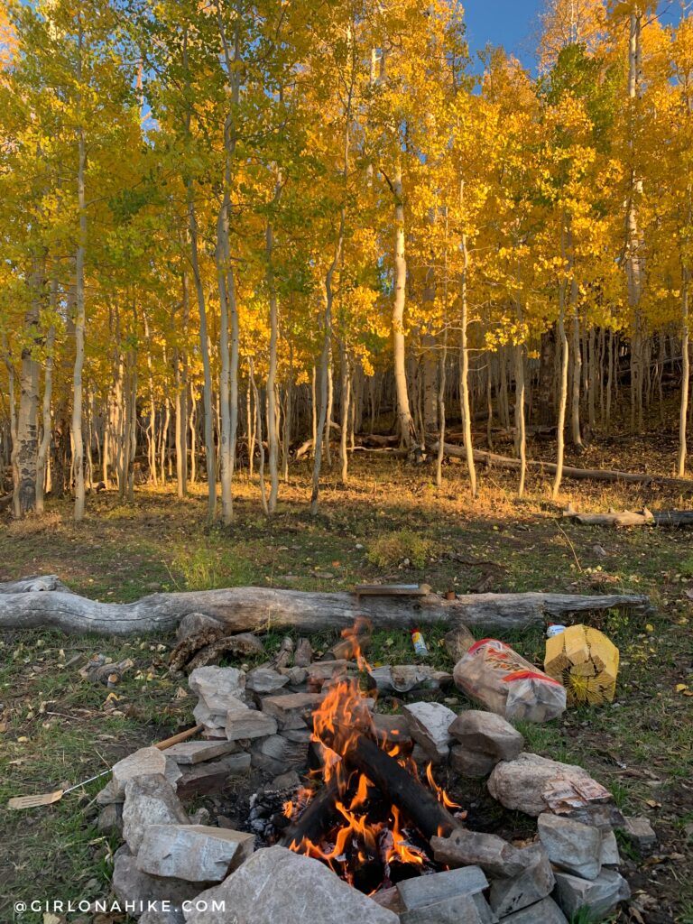
On the way back it only took us 2 hours 15 minutes to get back to the car. We grabbed a campsite earlier that morning, so we headed back to make our fire and dinner. I just couldn’t get over how pretty these yellow Aspens were!
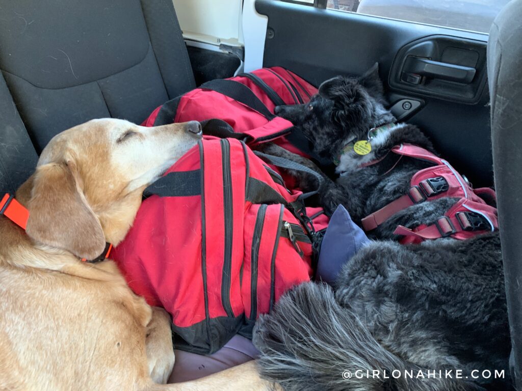
The next day the dogs were soooo tired and slept the whole drive back home. What a great weekend!
Check out my video!
Trail Map
My track via Gaia GPS – the best tracking app! Get your app here for a discount.
Nearby Hike
Hiking to Lexington Arch, Great Basin National Park

Save me on Pinterest!
