
About
Because my partner and I try to avoid crowds and prefer more solitude, we opted for the Bald Mountain route. We had also heard that this route would be more scenic. Those three things solidified our choice, and we couldn’t have been happier with it. Though this route gains more elevation, it is compensated for by the amazing views across the exposed, and above-treeline, route.
Directions
From SLC, head East on I-80 past Evanston, WY, and take exit 30. turn right, and follow County Rd 207. This will quickly turn to a dirt road, but is passable by a small, compact car. You should see many solar wind towers on your left. In 2.6 miles, turn left again, continuing on County Rd 207. Drive another 6.4 miles until you reach the stop sign, and turn left/straight, and you will now be on County Rd 204. Drive 2.6 miles, until you see the brown sign for East Fork Blacks Fork and turn right. You will now be back on a paved road, County Rd 271. Drive all the way past the Uinta County Youth Camp, following the signs for East Fork Blacks Fork, until you reach the very end of the road, where the TH and campground is.
The last 6 miles of this road is the roughest, but even my little Sonata made it (slowly at 10 mph). Here is a map link. About 1/2 mile before the official TH, you will see a sign on your right that says “Red Castle” pointing left. DO NOT take that dirt road (We originally went down this road and it doesn’t lead to anything and it very rutted out)! Just continue straight to the end of the road to the official TH. There is one vault toilet.
Trail Info
Distance:
10 miles one way to Lower Red Castle Lake,
13 miles one way to Upper Red Castle Lake
Elevation gain: 2,959 ft
Time: 5-7 hours to reach the lake, 2 night minimum stay
Dog friendly? Yes, off leash
Kid friendly? No
Fees/Permits? None
Day 1
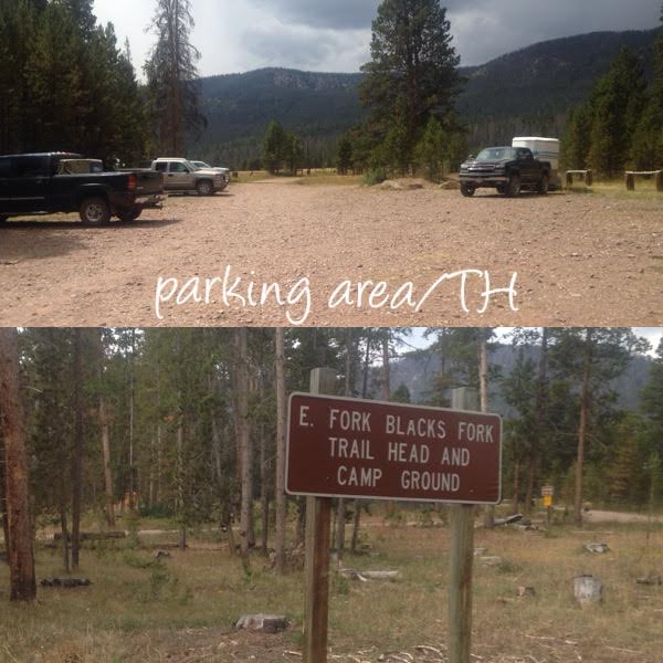
The official TH and campground at are the very end of road FR361. I didn’t see anything about there being a fee to camp here, if you planned to do that. There are enough parking spaces for roughly 20 cars and about 10 horse trailers. This is where you’ll want to park and start hiking from.
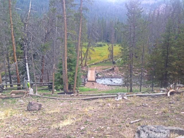
The trail begins by crossing the bridge, over the river.
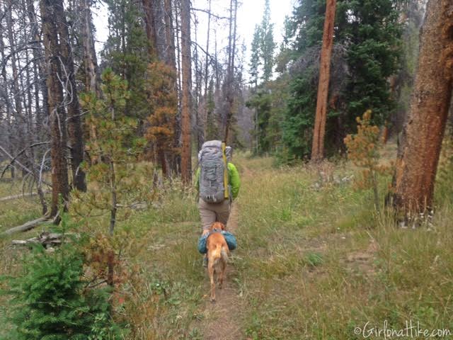
Following the trail signs, you will eventually be hiking North for 1/2 mile through grassy, flat land.
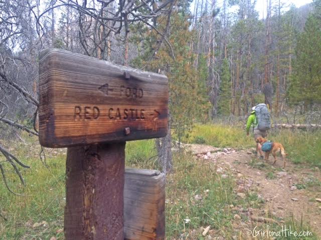
After the first 1/2 mile you will see the sign for Red Castle, and turn right. The Ford to the left, is if you wish to cross the river, but I don’t recommend doing that. The river is almost always knee to thigh deep, and can be dangerous to cross, especially with a heavy backpack on. Once you reach this junction, the trail begins to gain steady elevation for the next 3 miles.
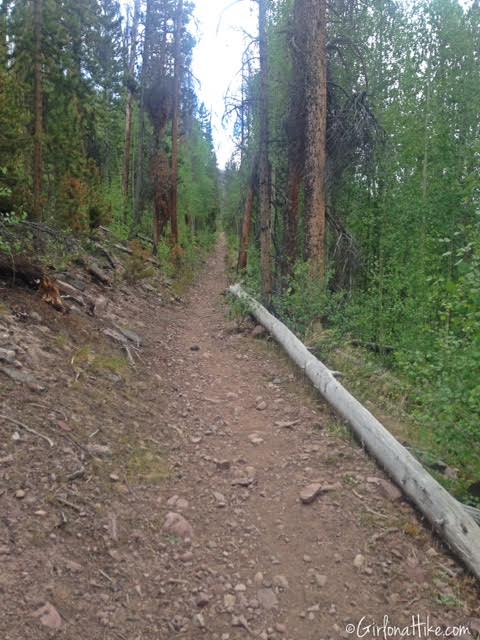
There are about 5-6 very long switchbacks that help you gain most of the elevation.
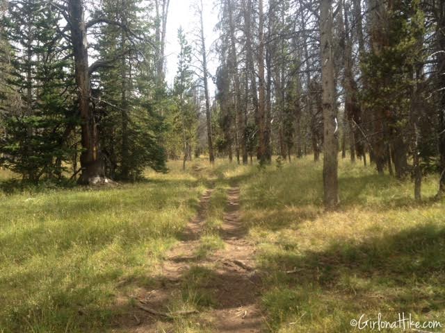
After reaching the top of the ridge it temporarily levels out and meets the Bald Mountain Trail junction, but it is NOT signed. Stay to the right at the junction, and the path begins to climb elevation again.
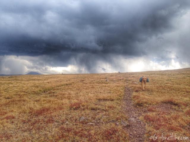
Within 1 mile you will be above tree line. To the right of the trail, you will see Bald Mountain (11,776 ft), which is the large, gentle sloping dome ahead of you (not pictured).
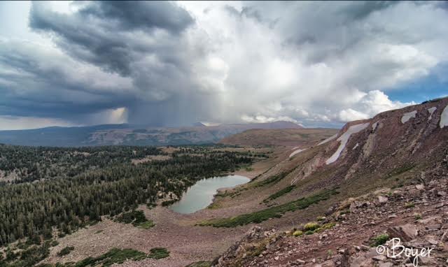
The trail leads you to a nice overlook of Bald Lake. Though it seems close and like a good, possible camp area, it is actually 500 ft below you, and therefore hardly visited.
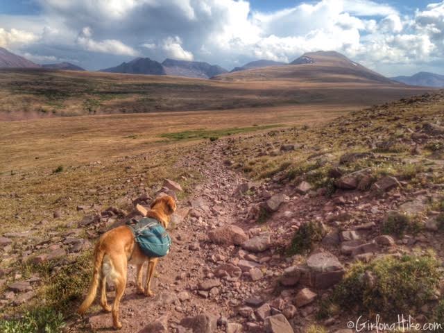
The highest point on the trail is roughly half way to Lower Red Castle Lake. At this point, you could summit Bald Mountain – drop your pack and hike up roughly 300 yards to the right (West) to the summit and claim your peak bagging status.
From Bald Mountain, the trail meanders across this open, exposed ridge for another 1.3 miles.
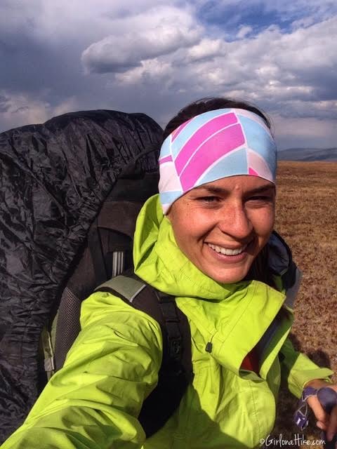
This section of the trail can be very windy and cold, since it is above treeline and fully exposed. I was really glad I had a headband with me!
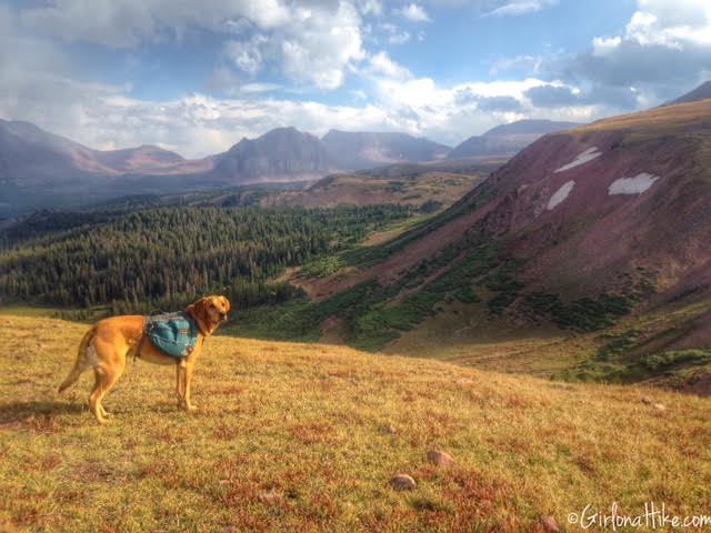
Eventually the trail drops into the East Fork Smiths Fork drainage, by following a few switchbacks downhill. You’ll see what looks like a trail veering off to the right, through some shrub. However, that is NOT the correct way (it’s a game trail). Stay on the path that wraps around the base of this hill, to the left, following the cairns. I always say, “If you don’t see any horse poop on the trail, then you aren’t on the right path in the Uintas.”
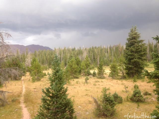
The last 3 miles to Lower Red Castle Lake are pleasant, rolling hills through a mix of forested and meadow areas. There are plenty of good camping spots in this section, however, water may be scarce. It’s best to reach the lake or river before setting up camp. You can see from the dark clouds, the typical afternoon thunderstorms had arrived in the Uintas.
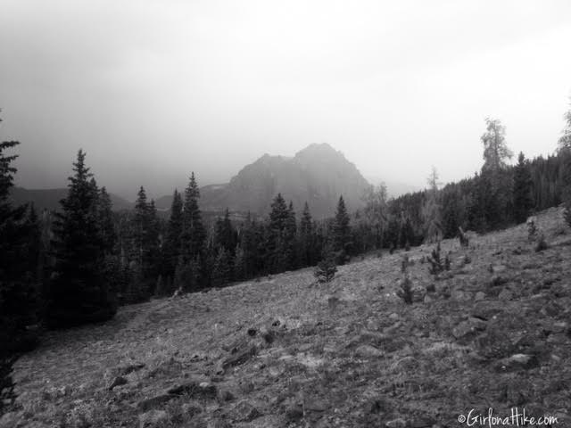
It started to lightly rain, and in the distance on the ridge and Red Castle Peak, it actually got light snow! The Uintas are known for afternoon thunderstorms, and it can snow year round at this elevation. Always be prepared for any kind of weather.
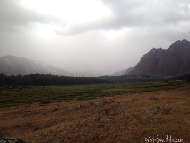
The light snow socks in the East side of Red Castle Peak.
Day 2
Distance:
7 miles RT to Upper Red Castle Lake from Lower Red Castle Lake
Elevation gain: 1,200 ft
Time: Half day. We took our time exploring and fishing.
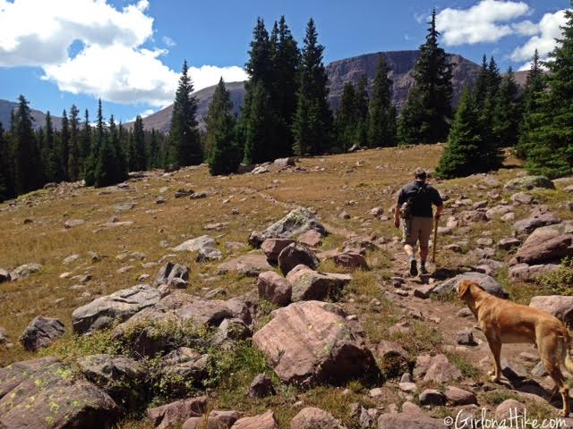
The next day we woke up to beautiful, deep blue skies and puffy clouds. We began hiking to the main Red Castle Lake around noon, since the best time to photograph Red Castle is in the afternoon/evening light.
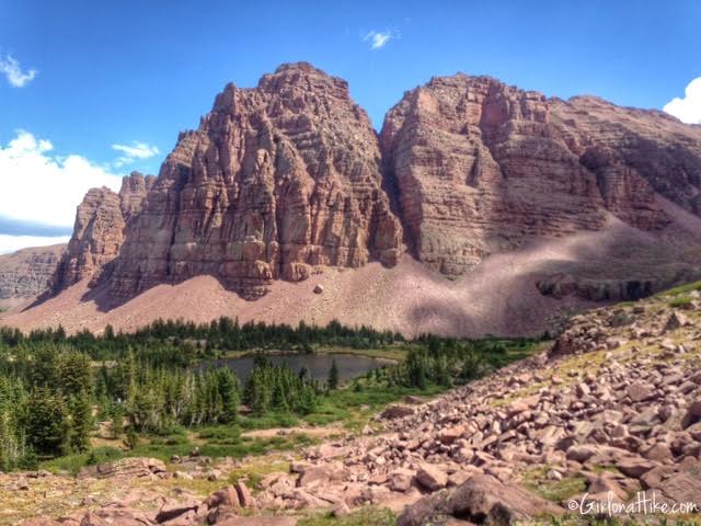
Hiking above the unnamed pond, and a great view looking at the West face of Red Castle Peak.
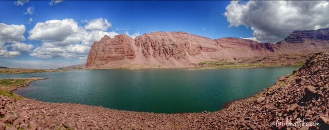
The beautiful Red Castle Lake!
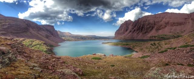
We decided to hike all the way to Upper Red Castle Lake – this was the view looking back down on the main lake. Fishing was good at the upper lake, mostly 10-13 inch trout.
Trail Map
My track via Gaia GPS – the best tracking app! Get your app here for a discount.
Recommended Hike
Backpacking to Naturalist Basin, Uintas

Save me on Pinterest!
