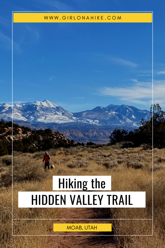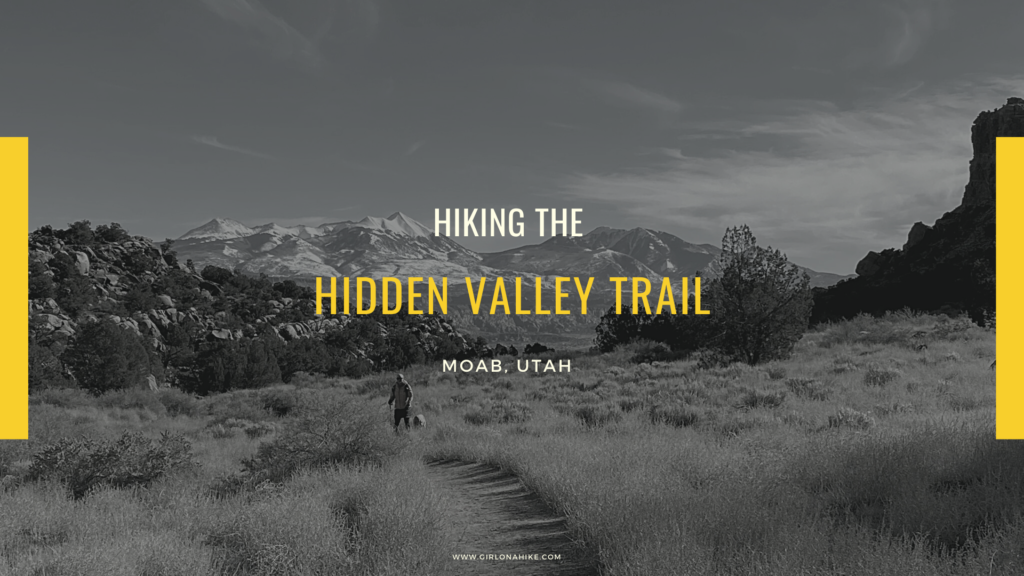
Hiking the Hidden Valley Trail in Moab, Utah: Stunning Views & Ancient Petroglyphs
Hidden Valley Trail, located just minutes from downtown Moab, Utah, offers a unique and peaceful escape into a landscape unlike the typical red rock views most associate with the area. This lesser-known trail leads you into the heart of the Moab Rim and a region known locally as “Behind the Rocks.”
A Hidden Gem with Green Terraces and Sandstone Walls
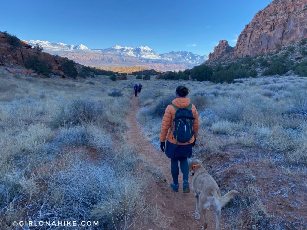
Despite its name, Hidden Valley isn’t quite a true valley—rather, it consists of two hanging terraces that descend into a wide-open desert landscape. The trail meanders through sandstone fins, towering rock walls, and dome formations, creating a stunning contrast with the distant La Sal Mountains.
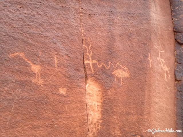
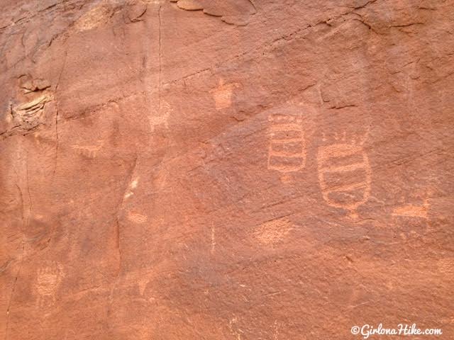
One of the most rewarding parts of the hike is discovering a petroglyph panel tucked away along a side trail. These ancient rock carvings can be found at the base of a sandstone wall, easily accessed via a short boot-beaten path.
Best Time to Hike Hidden Valley Trail
The best seasons to hike Hidden Valley are:
-
Spring (March–April): The terraces burst into green, temperatures are mild, and tourist crowds haven’t fully arrived.
-
Winter: A peaceful time to visit, with cooler temps and minimal traffic.
Both dogs and hikers will love the wide-open meadows and quiet trails, free from the noise of motorized vehicles. Just be sure to bring plenty of water for your pup and keep them on-leash near petroglyph areas.
Panoramic Views of the La Sal Mountains
Hidden Valley Trail offers some of the best views of the La Sal Mountains in the Moab area. The perspective is perfectly framed by sandstone formations and wide-open space, making it a photographer’s dream and a memorable reward for the climb.
Trailhead Directions
From downtown Moab, head south on Highway 191 for approximately 4 miles. Look for a brown BLM sign and turn right onto Angel Rock Road—it’s easy to miss, so watch for the nearby Moab Dental Health Center on the corner. If you pass Spanish Trail RV Park, you’ve gone too far.
Once on Angel Rock Road, drive to the “T” and turn right. Follow the road as it curves left—it will lead you directly into the dirt parking lot and trailhead.
📍 [Click here for a Google Map driving map.
Trail Info
Distance: 5 miles RT
Elevation gain: 750 ft
Time: 2-3 hours
Dog friendly? Yes, off leash
Kid friendly? Yes
Fees/Permits? None
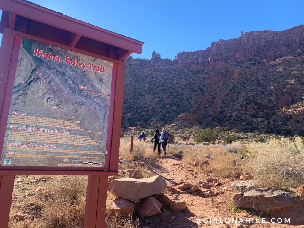
At the parking lot you’ll actually see two trailheads – left is for Hidden Valley, right is for the Pipe Dream Trail.
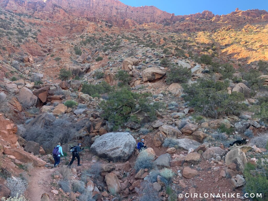
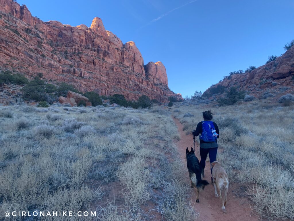
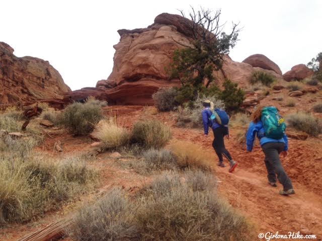
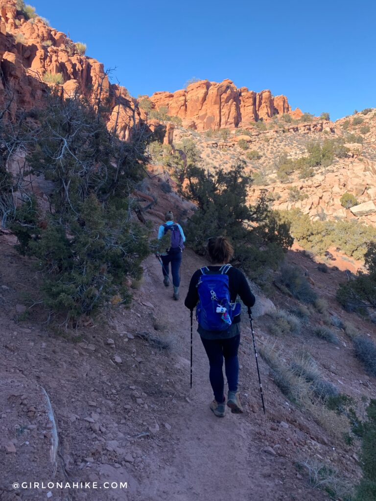
The trail departs the south corner of the parking lot, and soon begins a rocky, switch backing ascent, gradually curving NW.
 Hike up several short, but rocky switchbacks.
After 20 minutes or so, the trail levels out and becomes flat with no rocks. You’ll also pass a field of juniper trees, cactus, and sage brush.
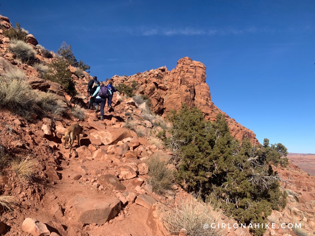
Fit hikers should approach the first “valley” or terrace in 20-30 minutes. I absolutely loved this section! It’s so wide and open.
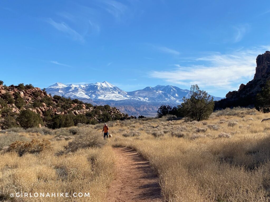
Don’t forget to look back for the best views of the LaSals!
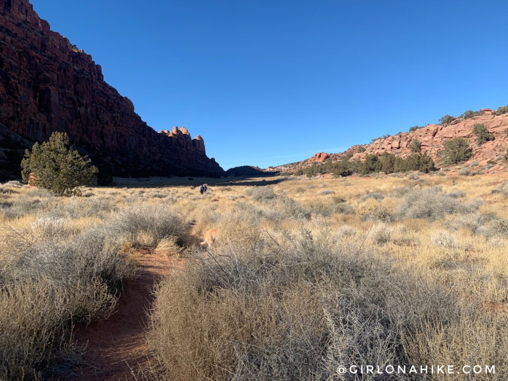
After a long, flat, grassy stretch, you will briefly gain a little elevation gain, then drop into the second valley for another long stretch.
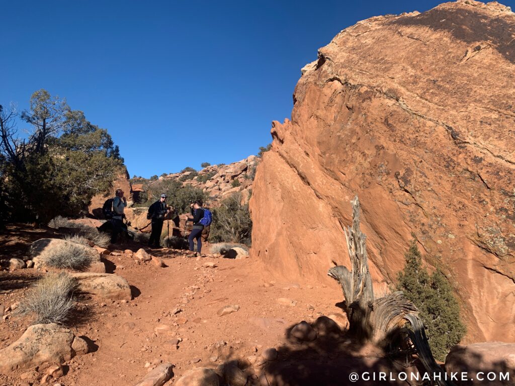
At roughly 2 miles, you’ll reach what’s known as “Petro Pass” and you should see this large rock right on the right side of the pass.
At this pass the trail actually continues North and you should be clearly able to see where the trail goes. However, take the boot beaten path heading right to find the petroglyphs.
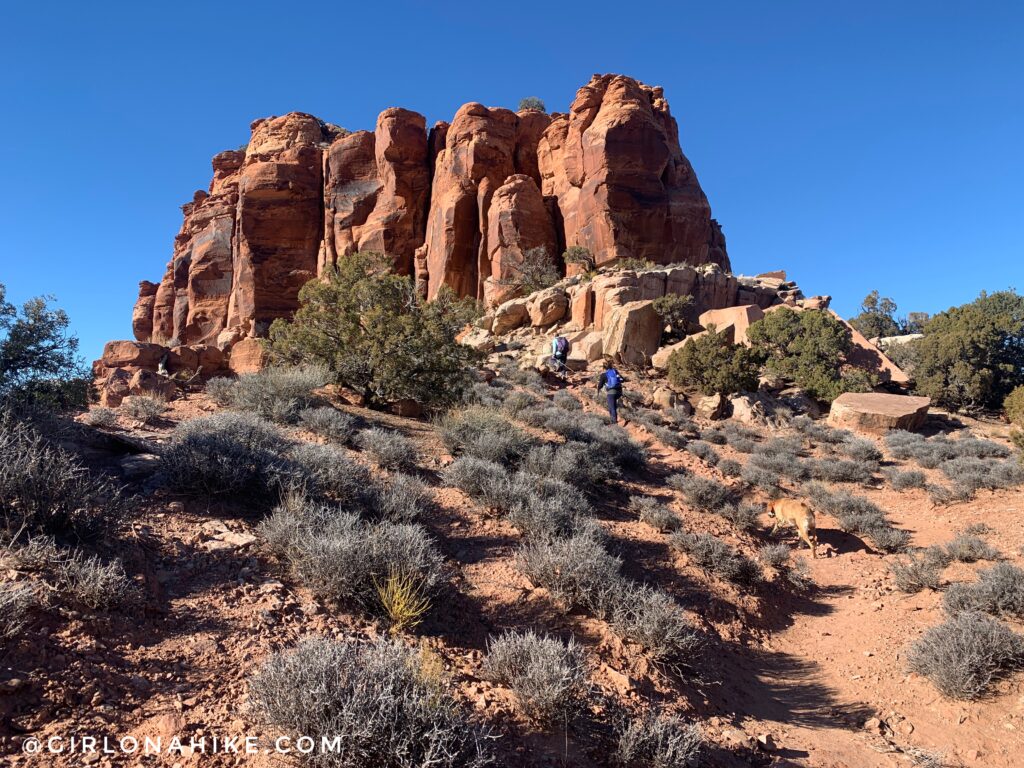
The Hidden Valley trail will lead you to this rock, and will wrap around the West (left) side.
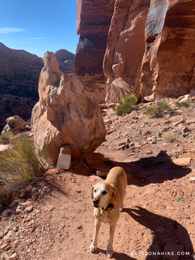
Head towards the tall sandstone wall and veer left. You should see this notice sign about the rules for the area. PLEASE protect your land, Leave No Trace , and follow common etiquette around petroglyphs.
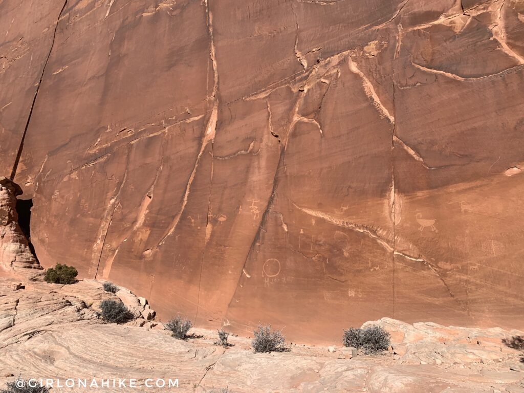
Follow the sandstone wall left as it curves west then north again. Look on the wall for the petroglyphs.
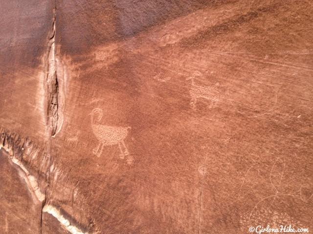
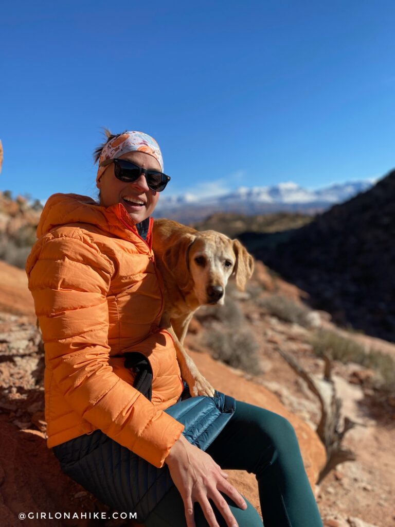
I love this spot because not only do you get to see cool petroglyphs, it’s a great photo spot with the LaSals!
Head back the same way you came.
Trail Map
My track via Gaia GPS – the best tracking app! Get your app here for a discount.
Don’t forget to clean your camelbak bladder when you get home!
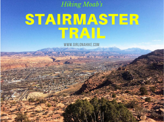
Nearby Hike
Hiking the Stairmaster Trail, Moab

Save me on Pinterest!