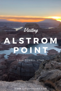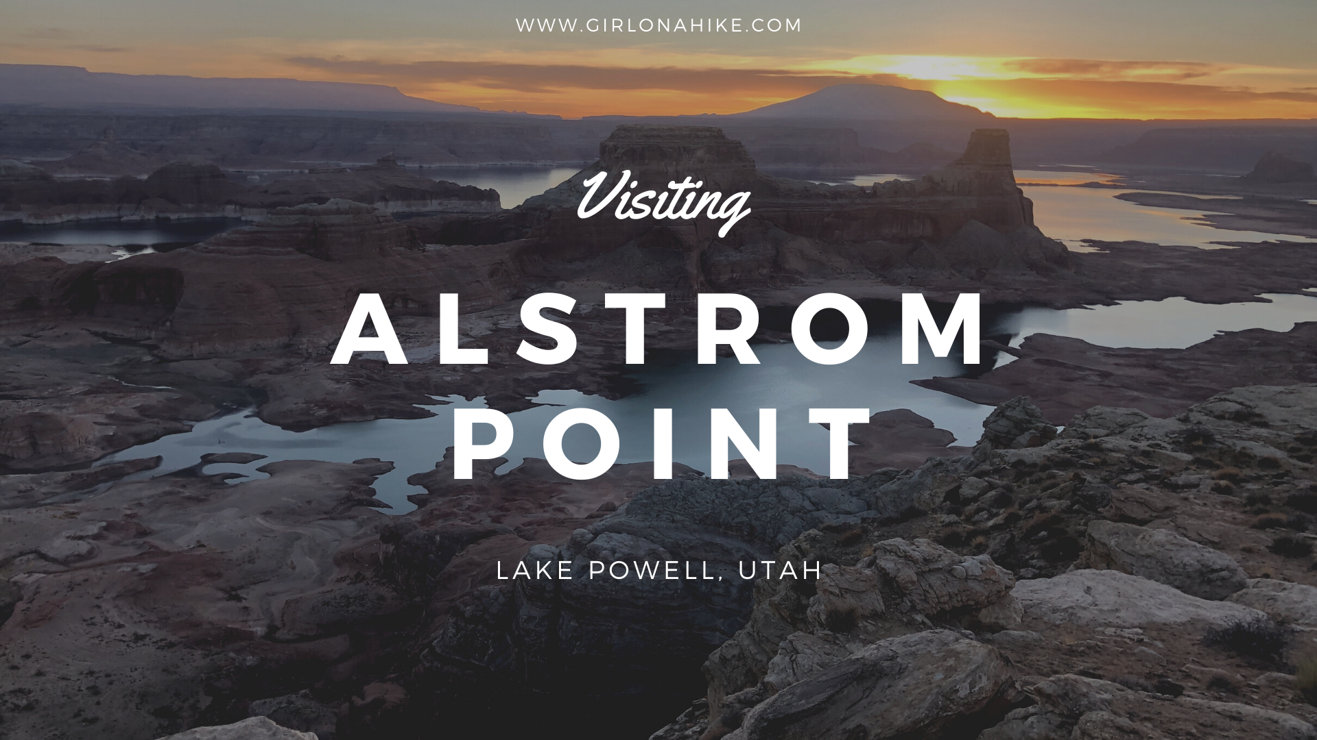

Visiting Alstrom Point at Lake Powell: How to Get There & What to Expect
Alstrom Point is one of the most iconic overlooks in Southern Utah, offering panoramic views of Lake Powell, Gunsight Bay, Navajo Mountain, and dramatic red rock formations. Often considered one of the best viewpoints in the region, Alstrom Point is a must-see for photographers, campers, and road trip enthusiasts.
How to Reach Alstrom Point
Reaching Alstrom Point Lake Powell requires preparation—especially when it comes to your vehicle. The final 2 miles of the road are extremely rough and best navigated with a high-clearance SUV, truck, or 4WD vehicle. If you’re traveling in a 2WD or smaller car, you can still drive to the last signed turn-off (approximately 5 miles from Alstrom Point), then hike the remaining 2 miles to the overlook.
On our trip, we had a 2WD rental van and were able to make it to the spot where many low-clearance vehicles stop. From there, we hiked the final stretch to reach the overlook by sunrise.
Alstrom Point Sunrise Experience
To catch the sunrise at Alstrom Point, we camped nearby the night before and started walking early to reach the overlook just in time. The reward? A breathtaking scene of Lake Powell bathed in morning light—truly one of the most unforgettable views in Utah.
If you prefer not to drive yourself, several guided Jeep and ATV tours are available to take you to Alstrom Point safely and comfortably.
Tips for Visiting Alstrom Point
🛻 Best Vehicle: High-clearance 4WD recommended
🚶 Hiking Option: Hike last 2 miles if your vehicle can’t make it
🐾 Dog-friendly: Yes, dogs can be off-leash—watch for cliff edges
🏕️ Camping: Dispersed camping available nearby
📷 Best Time to Visit: Sunrise or sunset for stunning photography
🤫 Trail Etiquette: Be mindful of others enjoying the silence and scenery
Why Alstrom Point Is Worth the Effort
Whether you hike in, drive a 4×4, or book a tour, Alstrom Point at Lake Powell is a bucket-list destination for lovers of wide-open views, unique geology, and remote desert beauty. It’s a great way to impress visitors with a quintessential Utah landscape—without needing to tackle a strenuous hike.
Directions
From Big Water, UT head north on Ethan Allen Dr., then turn right at the brown sign for Glen Canyon. Reset your odometer and drive 23 miles to a large pull out on the left. While it is only 23 miles, it WILL take you around 1 hour 20 minutes one way. 4×4 isn’t needed however you should use an SUV or larger to reach the main parking area for non-4×4 cars. If you have high clearance, you can drive to the very end, 25 miles total. Here is a driving map.
Trail Info
Distance: 4 miles RT (for non-4WD cars)
Elevation gain: 157 ft
Time: 2-3 hours
Dog friendly? Yes off leash
Kid friendly? Yes, all ages
Fees/Permits? None
The Drive to Alstrom Point
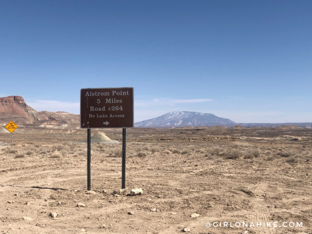
The last sign for turning to Alstrom Point. Past this sign is where the road gets sandy, but it’s not horrible. Small cars will want to stop here, and hop in a friends SUV, as they wouldn’t make it through the sand.
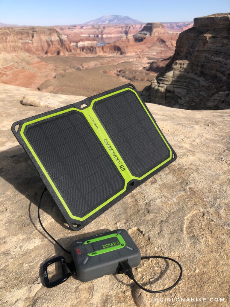
I had zero cell service (AT&T) the entire drive out, and Amanda had spotty service (Verizon), so be sure to have a satellite communicator like a ZOLEO in case of emergency and to check in with friends and family. You wouldn’t want to get stuck out there without help!
I also brought along my Goal Zero solar panel since I didn’t want to turn the van generator on just to charge stuff.
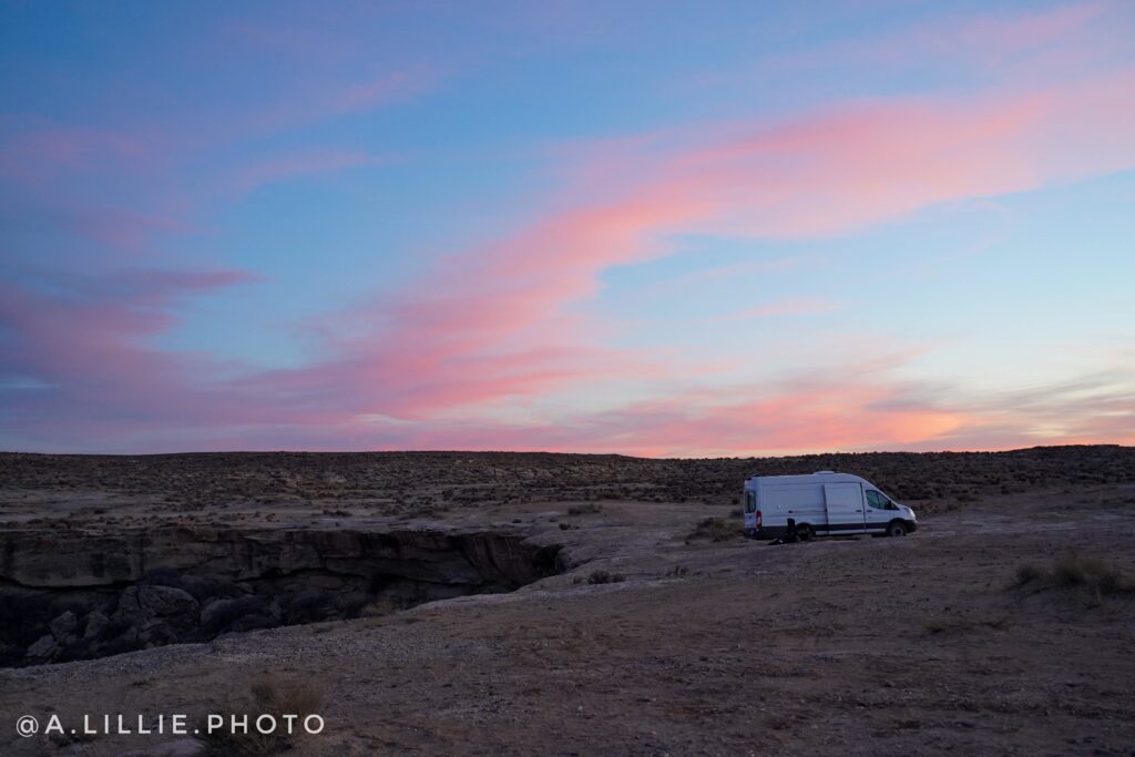
Campin Near Alstrom Point
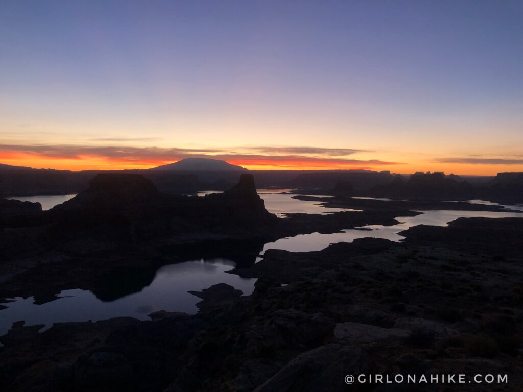
Wow, ok, that was worth waking up early for! Highly recommend a sunrise hike here.
Sunrise at Alstrom Point
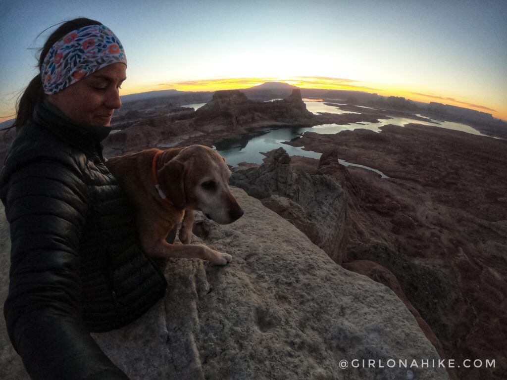
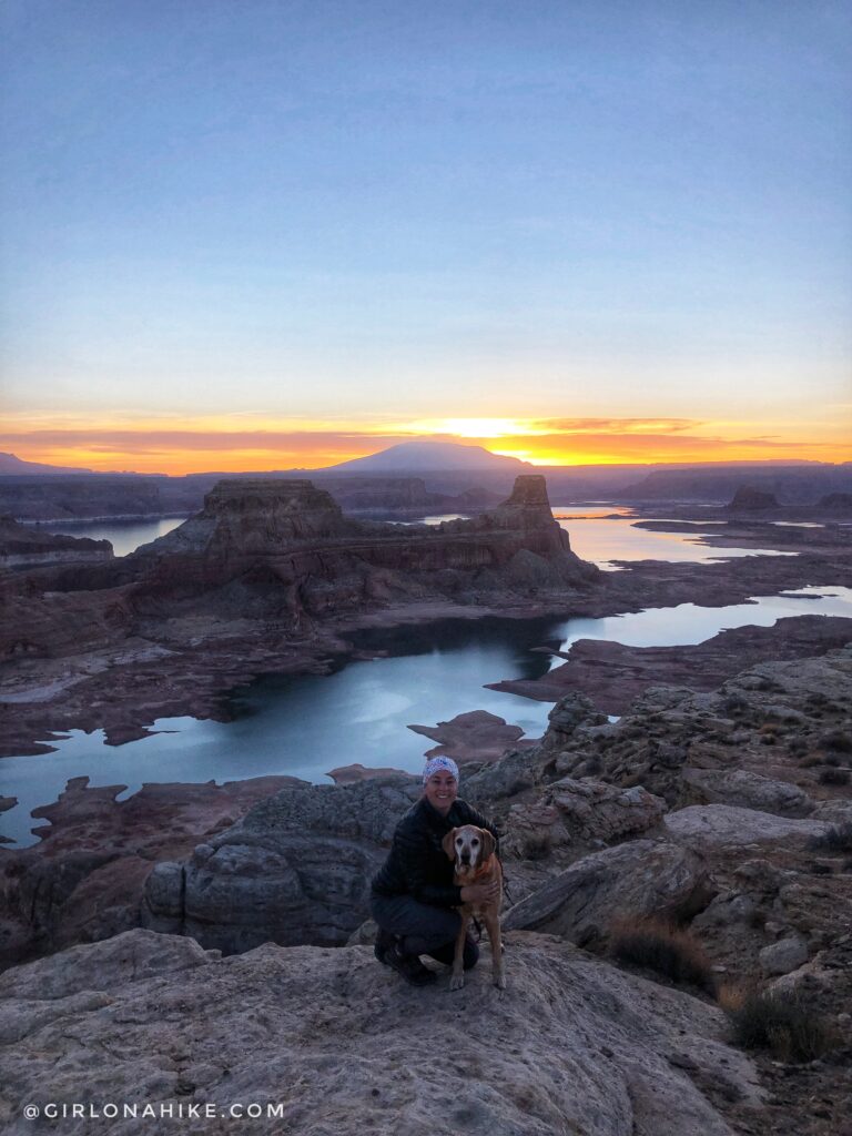
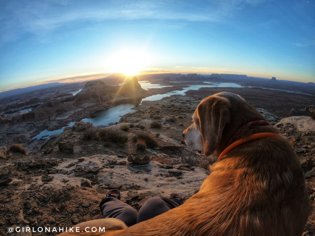
It was quite windy at the point, so I kept my 3 layers on, plus a headband on to keep hair from flying in my face. My warm lap dog was much appreciated. Thanks, Charlie!
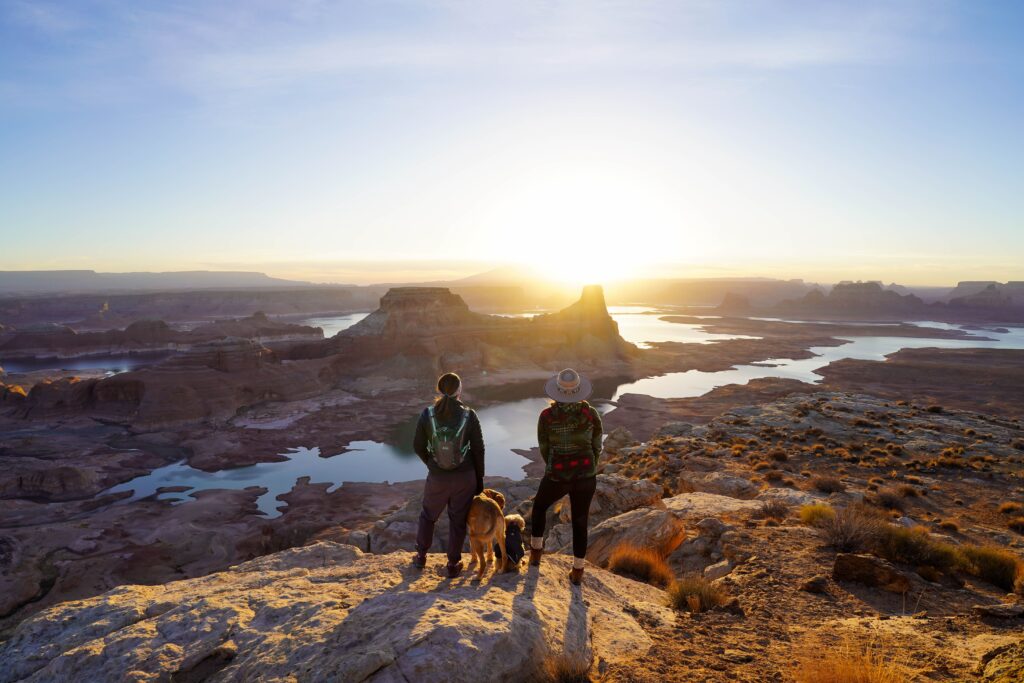
Sunrise was perfect with Amanda and the dogs!
The sunrise just kept getting better! It was just so cool to see Lake Powell down there with all the tall buttes, and Navajo Mountain in the distance. I kept thinking, Rainbow Bridge National Monument is right over there!” After I checked my Gaia GPS, I found that as the bird flies it is only 22 miles!
Really cool spot, can’t wait to come back!
Check out my video of our entire trip!
Trail Map
My track via Gaia GPS – the best tracking app! Get your app here for a discount.
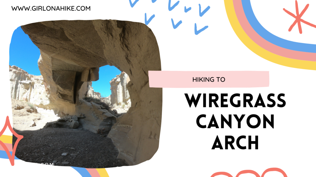
Nearby Hike
Hiking to Wiregrass Canyon Arch, Lake Powell

Save me on Pinterest!