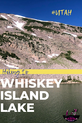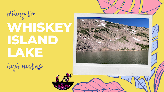

Whiskey Island Lake sits at 10,400 ft in the High Uintas and is a secluded lake great for a day hike and fishing. If you’re really feeling like getting a workout, add on the surrounding peak above the lake, Whiskey Island Peak.
About
This 3 mile routes follows a road for the first 2.2 miles, then it’s a choose-your-own-adventure kind of day following your GPS to guide you to the lake since there is no trail the last 3/4 mile. There are several routes to reach Whiskey Island Lake, and if you’re feeling adventurous you can turn it into a loop like I did.
SLC This trail is great for dogs since there is plenty of shade and water, however the dirt road is very sandy and can get hot later in the day so start hiking early. Kids can make it as long as they’re ok with not having a trail, and the mini waterfall at the start will keep them entertained for a little bit. I found two small campsites around the lake with a nice fire pit, but not enough room for more than two tents. On a Sunday I didn’t see another person the entire time! Make sure to cover up – the horseflies are pretty bad.
Directions
From SLC, head East on I-80 through Parley’s Canyon. Once past Kimball Junction, UT take exit 146 for HWY 40. Drive another 3-4 miles and take exit 4 towards Kamas, UT. At the first light in Kamas, turn left. At the night light (at the Chevron), turn right. You will now be on the Mirror Lake Highway. Drive 37 miles to the pull out on the left side of the road, just past mile marker 37, and has a brown post for FR110 and a picture showing cars not recommended. Park here. You can only drive this road if you have a very high clearance car like a Jeep or ATV. Even though I have 4 wheel drive, I didn’t feel comfortable taking my SUV up this road. There are some very big rocks to get over. There is no restroom nor trail head signs.
Here is a driving map.
Trail Info
Distance: 6 miles RT
Elevation gain: 740 ft
Time: 3-4 hours
Dog friendly? Yes, off leash
Kid friendly? No, since there is no trail the last 3/4 mile
Fees/Permits? The Mirror Lake Highway charges a $6 fee for a 3 day pass. It’s free if you have an annual Mirror Lake Hwy or American Fork Canyon pass, or free if you have an annual National Park Pass. No permit is required.
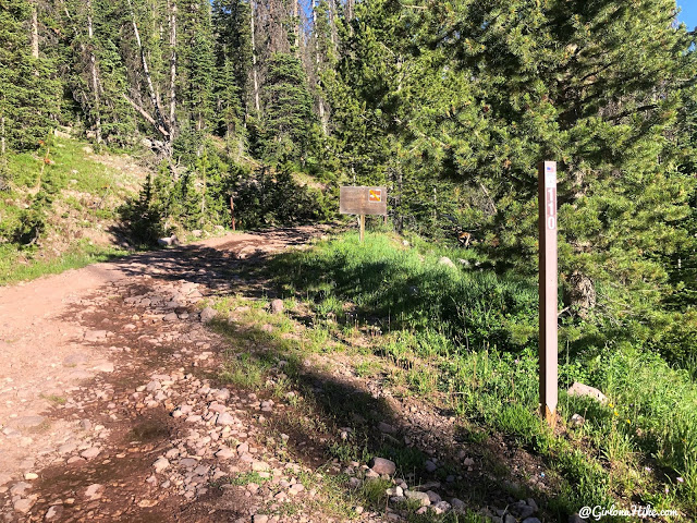
Starting the hike you’ll see the FR110 post, as well as the no cars recommended sign. Unless you have an ATV or lifted Jeep, I wouldn’t drive up this road. Sections of it are better than others, but you still have to get over big rocks.
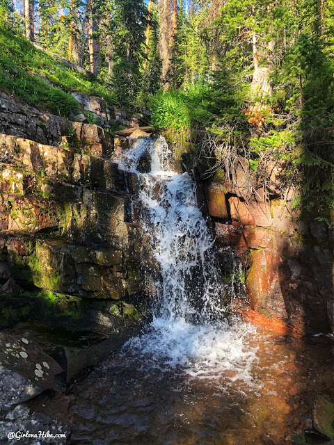
Within the first 10 minutes of walking, pass by this mini waterfall on the left side of the road. A perfect swimming hole for the pups!
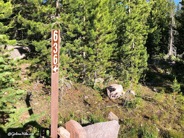
At the first road split around mile 0.7, FR636, stay right to hike up the longer, but more gradual route. If you do the loop like I did (map below), this is where you will come back in but from the left.
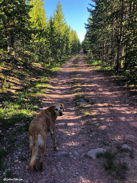
Charlie and I often walk dirt roads. Just how some hikes work out.
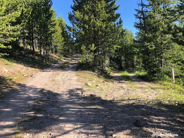
At the next road split at mile 1.3 for FR710, stay left.
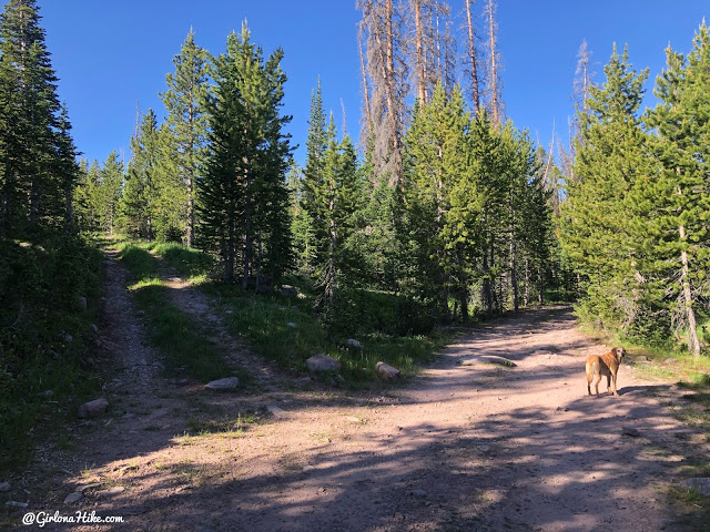
And at the next road split at mile 1.5, stay right. This one didn’t have a FR number sign.
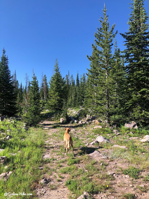
At 1.6 miles another road split, stay left and it still curve south and start gaining a little more elevation.
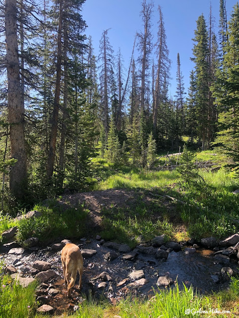
Keep following this old dirt road until you cross the stream at mile 2.1. The road ends about 20 yards beyond this.
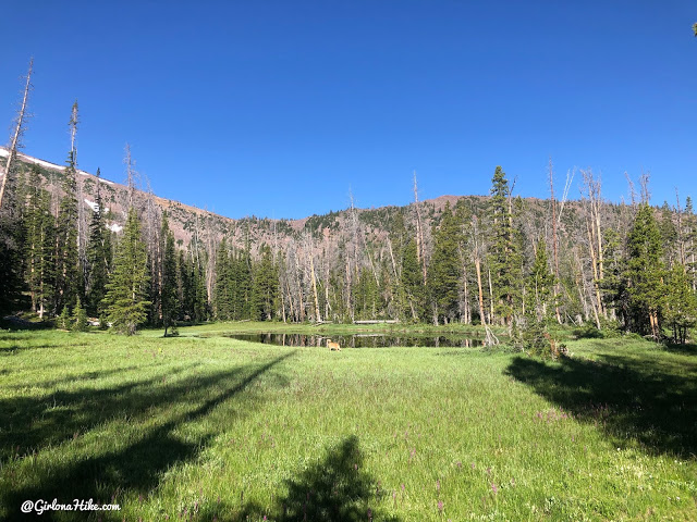
Now it’s up to you to find your way to Whiskey Island Lake. Charlie found a mucky pond to take a dip in, of course!
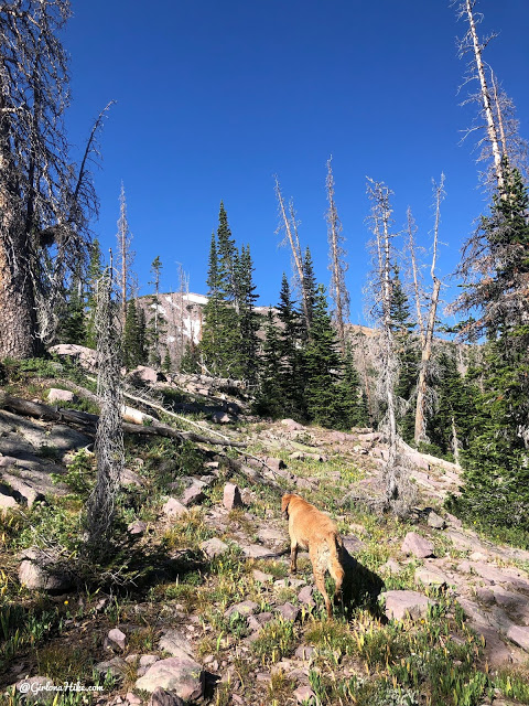
What the rest of the hike looks like – when in doubt, aim for the peak.That’s how you know where the lake is, since it sits just below it.
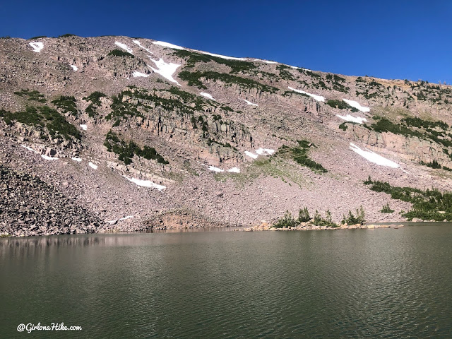
And finally, after 3 miles exactly, arrive at the lake! There is literally an island out there too!
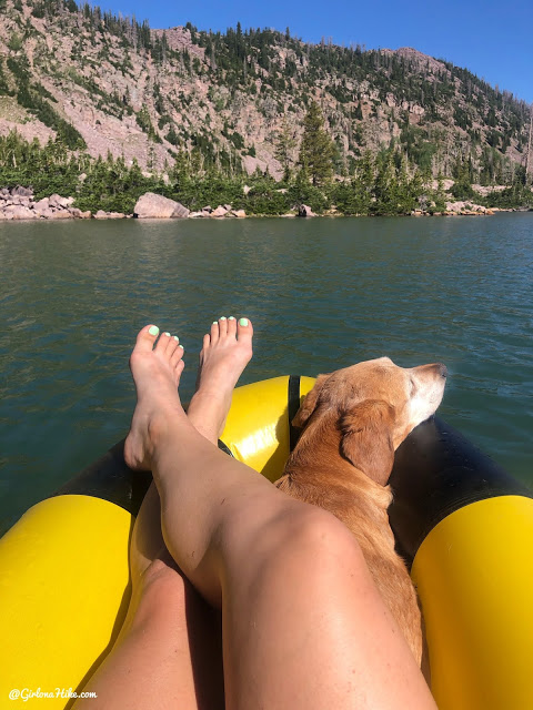
I took my packraft out for a bit to have a longer break and do something different.
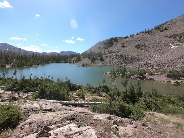
We also walked around the lake to check things out.
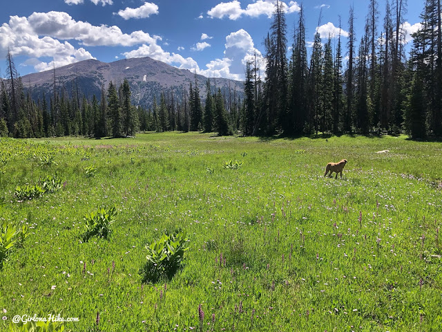
On our way back, we took a different route and aimed for FR711, then FR636 again to complete the loop. This was the flattest section, but the rest of this route is much steeper however it also cuts off 1/2 mile. I would NOT go this way with kids.
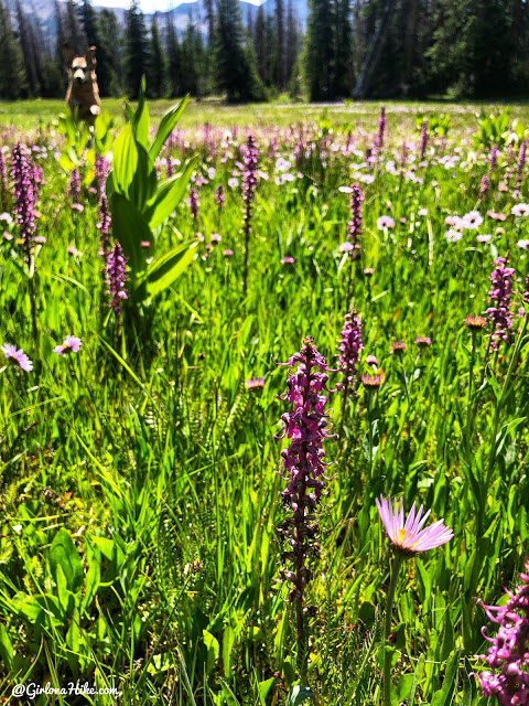
My favorite Uinta flowers, Elephant Heads!
Overall this was a nice casual day hike for me and Charlie, but probably wouldn’t go back unless I wanted to also hike to the surrounding peaks and/or fish. On the plus side – literally nobody else was out here!
Check out my video!
Trail Map
Green – longer, but more gradual hike
Red – shorter but much steeper section to climb up. Not recommended with kids.
My track via Gaia GPS – the best tracking app! Get your app here for a discount.
Nearby Hike
Hiking to Bourbon Lake, Uintas

Save me on Pinterest!
