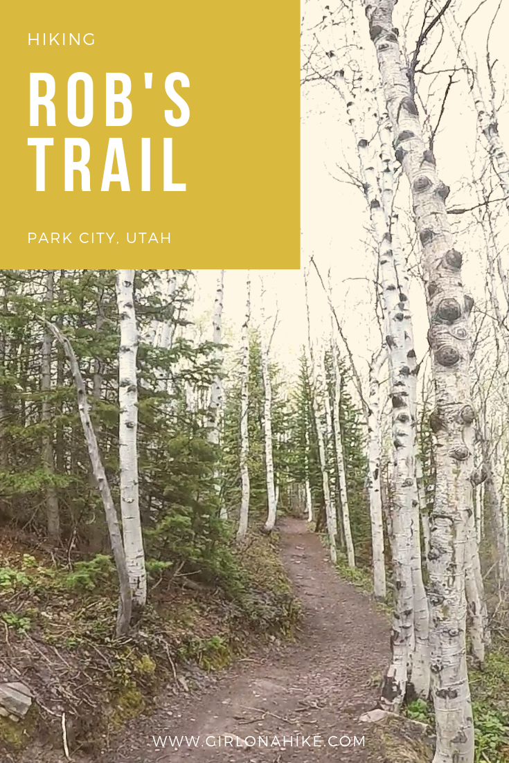

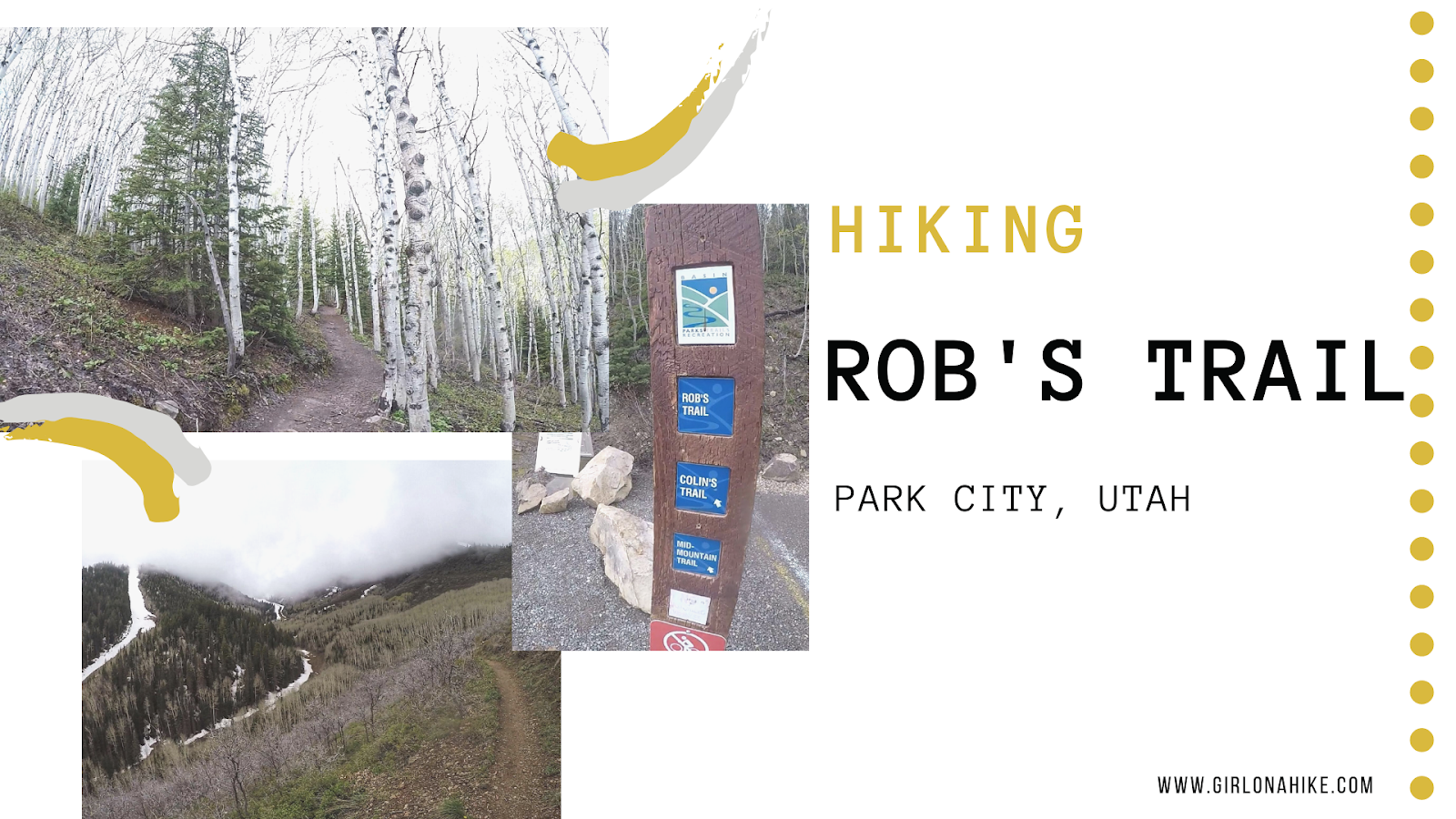
Rob’s Trail in Park City, UT is a fun & easy trail that climbs a mere 1,000 ft over 2.5 miles to a beautiful overlook of The Canyons Ski Resort, Park City, and surrounding mountains. The trail works its way through evergreen forest, aspen trees, with great views along the way. This is a very popular trail, and therefore gets packed on weekends. In summer it’s a popular trail with mountain bikers connecting from the Mid-Mountain Trail so be careful of bikes flying through in warm months. This trail is dog friendly as well, but the best time to hike here with your furry friend is in early in the morning to avoid the bikers.
About
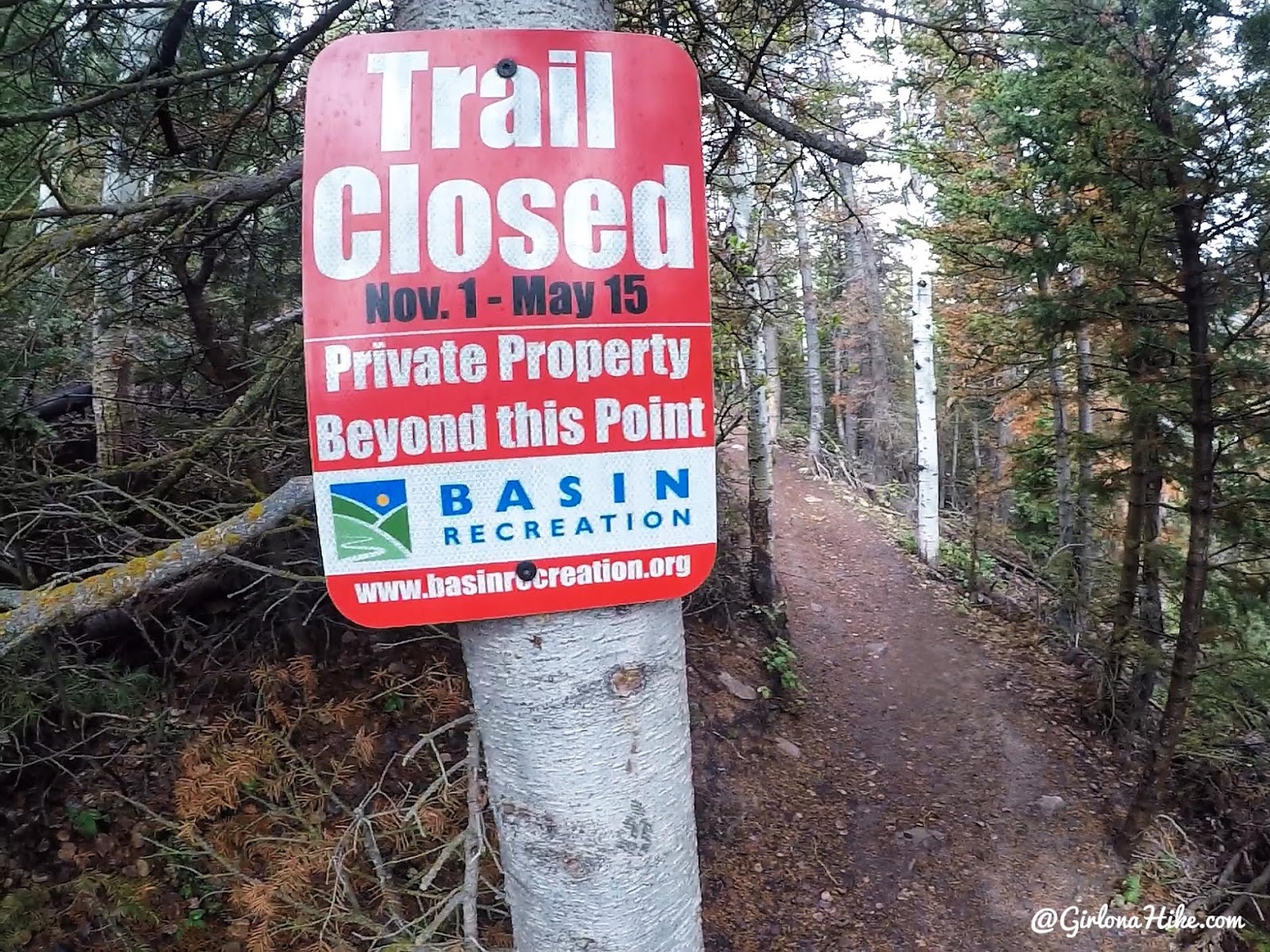
Rob’s Trail is closed during the winter months,
November 1 through May 15th, due to private property issues. Please respect the “trail closed” signs.
Directions
From SLC head east on I-80 towards Park City. Take exit 145 for Kimball Junction and head south on HWY 224. In 2.1 miles turn Right onto Bear Hollow Drive at the light. Drive another 1.4 miles until you reach the TH on your left. Here is a driving map. There are no restrooms available.
Trail Info
Distance: 4 miles RT
Elevation gain: 900 ft
Time: 1-2 hours
Dog friendly? Yes
Kid friendly? Yes!
Fees/Permits? None

Right at the parking area you’ll see Basin Rec’s trailhead sign for Rob’s Trail, Colin’s, and Mid-Mountain Trail.
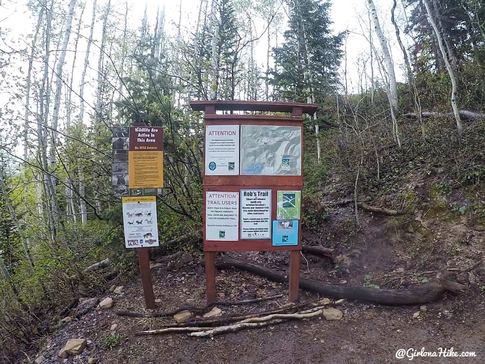
Pass the wildlife & info sign.

Lots of trail signs.

Stay right at this trail split, and the next.

The trail eventually turns West after a trail split, and the trees seemed even bigger now.

You’ll come to a 4-way intersection with this bench. From this intersection, stay straight.

Continue West. With its gentle elevation gain, this trail is an excellent choice for a recovery hike, a relaxed outing, or an easy trail run.

You’ll come to another intersection. From here you can continue in either direction to connect with other trails. Many people like to turn around at this cute sign which is 2.1 miles one way from the car
May 2020
Way less snow, same time of year!
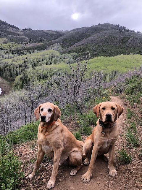
Check out my YouTube video!
Trail Map
My track via Gaia GPS – the best tracking app! Get your app here for a discount.
Nearby Hike

Save me on Pinterest!