
About
Directions
From the Kane Gulch Ranger Station on HWY 261, drive 9.3 miles south. Turn left at the brown, signed Cigarette Springs Road. Reset your odometer. Drive 6 miles, then turn left at a brown post with Wilderness Area marked on it. Drive 1 more mile to the very end of the road that ends in a big loop with plenty of parking. The last 3 miles are very rough, and small cars will not be able to make it. 4WD is recommended. This road will be impassable after storms, as it is all sand and slick rock. Call the ranger station to check road conditions before driving here.
Here is a driving map.
Trail Info
Distance: 3 miles RT
Elevation gain: 500 ft descent
Time: 1-2 hours
Dog friendly? Yes, technically on leash
Kid friendly? Yes, older kids
Fees/Permits? $2 per person/per day use fee. No permit needed.
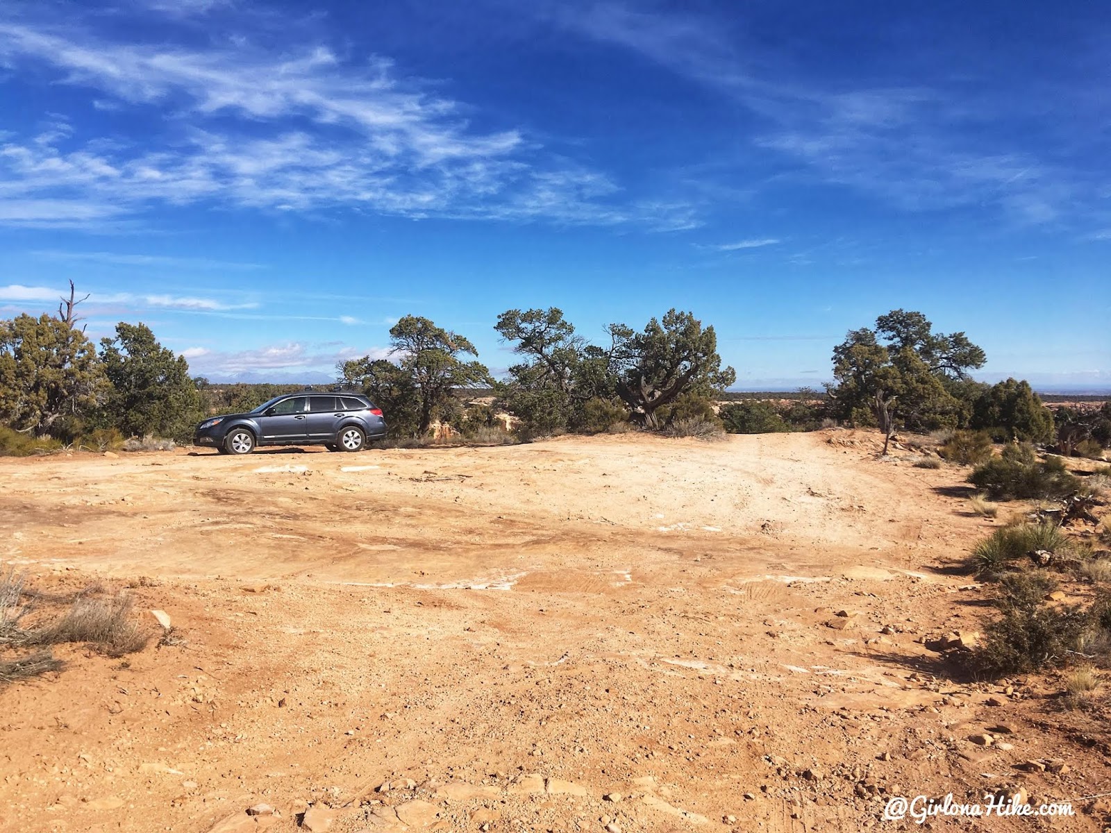
The end of the road and parking area. You’ll see a brown hiking post to the far right in the parking lot – this is NOT the trail for Seven Kivas. That trail leads to to another ruin (blog post coming soon)! What you want to do, is hike directly North, behind that car. You’ll see some cairns that immediately drop down about 20 feet around a dry pour off area.
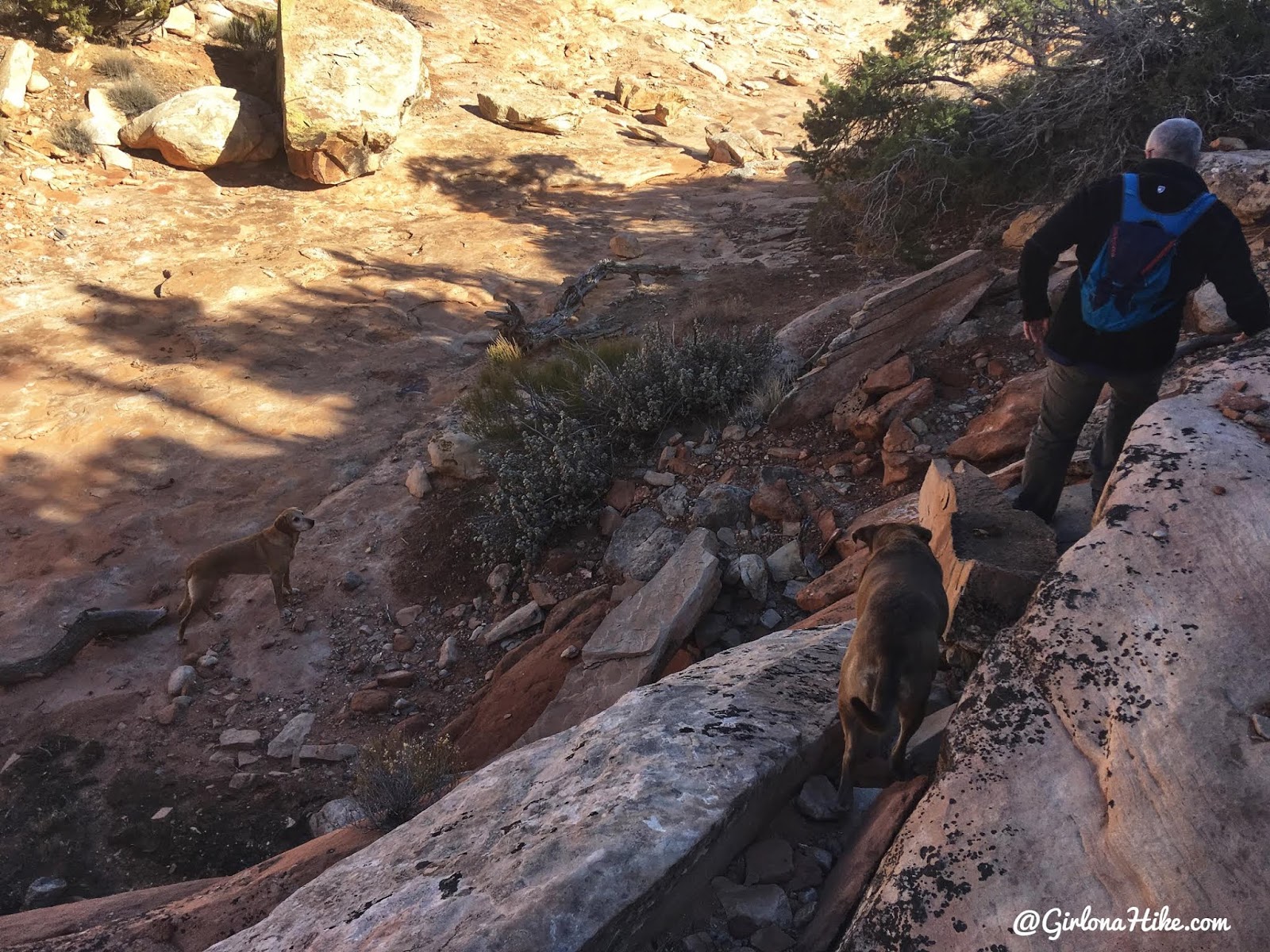
Follow the cairns down to this dry pour-off then continue NE. You’ll also see cairns heading South – do NOT take those. You’ll get cliffed out.
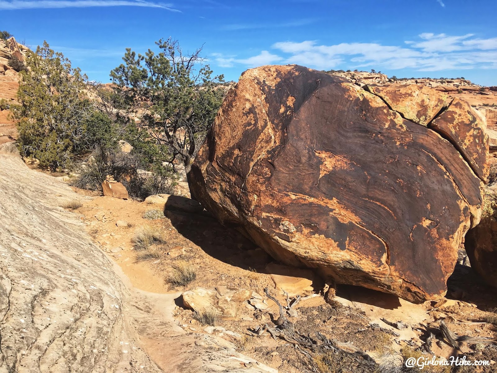
As you round the first bend, just after dropping, you’ll continue North and pass a large boulder with a dark stain.
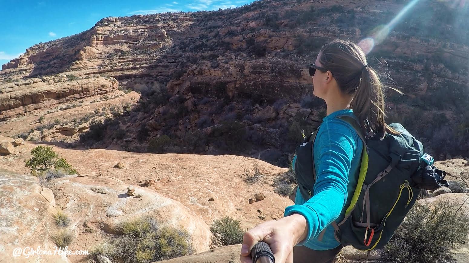
The cairns were really easy to follow, as you drop 500 ft down the ledges, making small switchbacks.
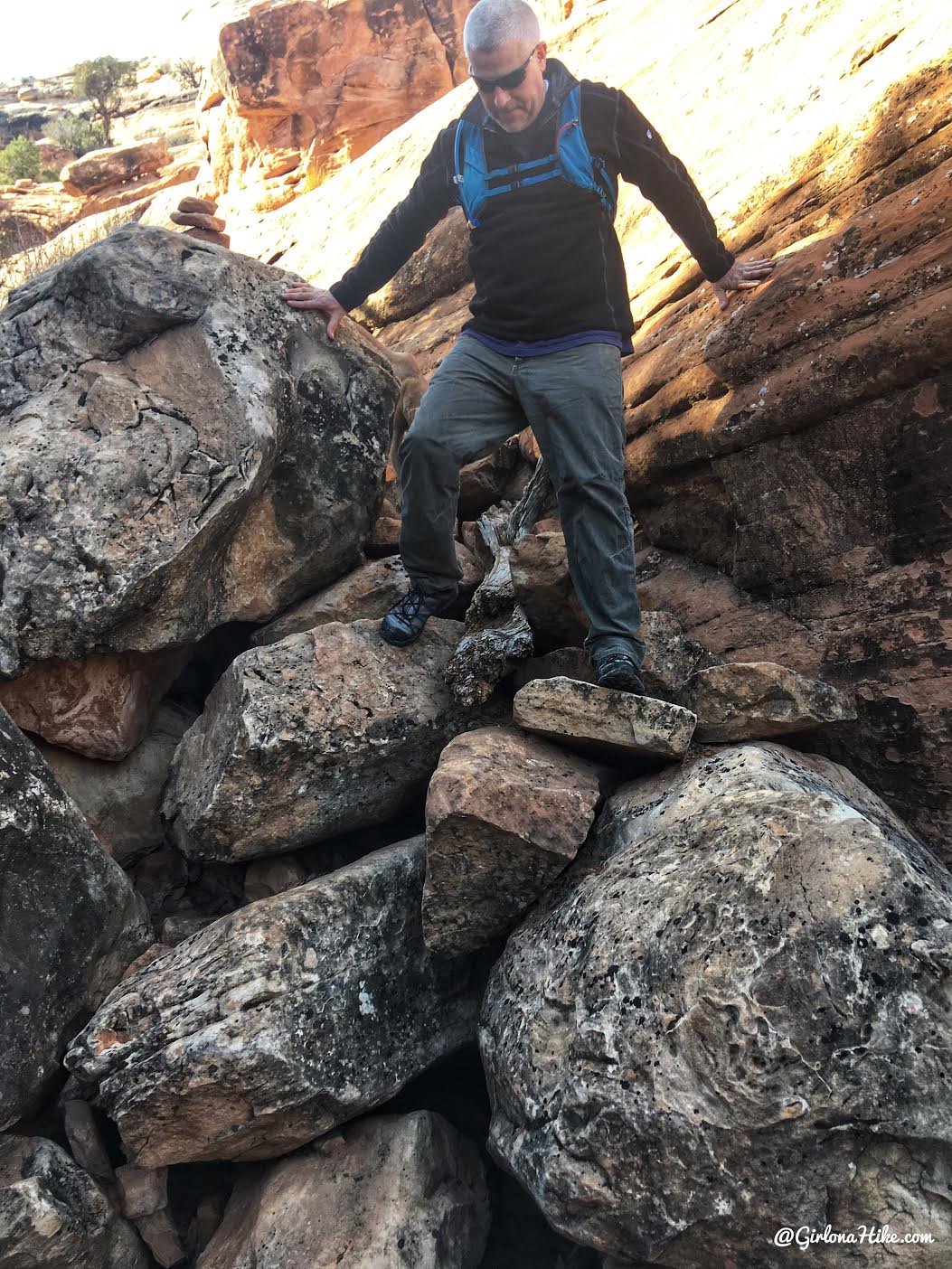
One small scramble down over boulders.
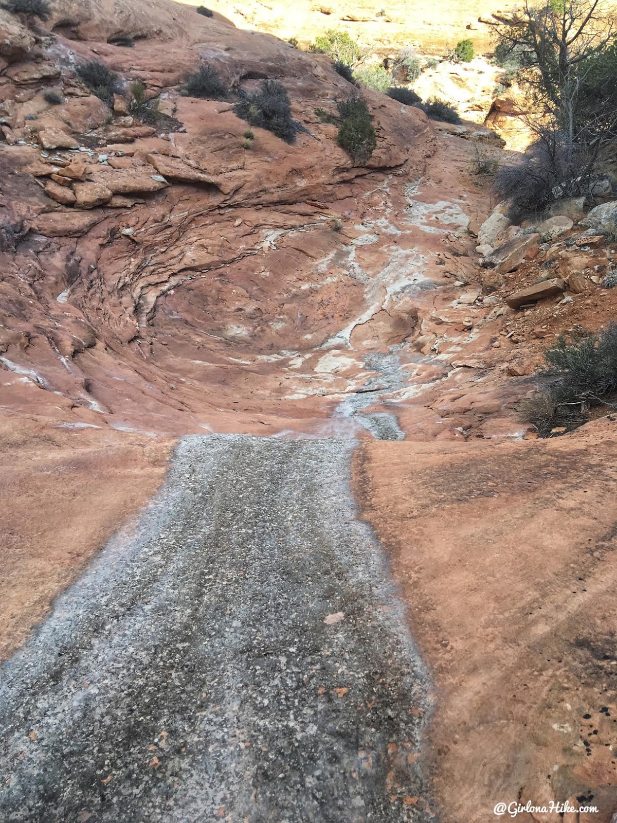
The cairns will lead you to another dry pour off with a grey stain. Hike straight down this.
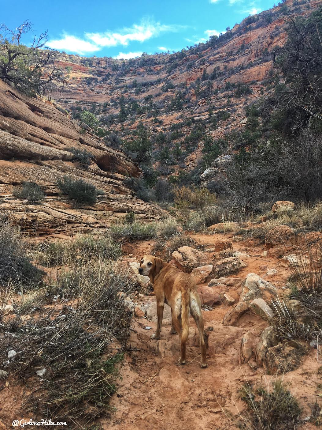
Finally, at the canyon bottom of Road Canyon. Take note of where you entered the canyon here, so you know where to exit on your way out. For us, there were two large cairns. Once at the canyon bottom, continue right (East).
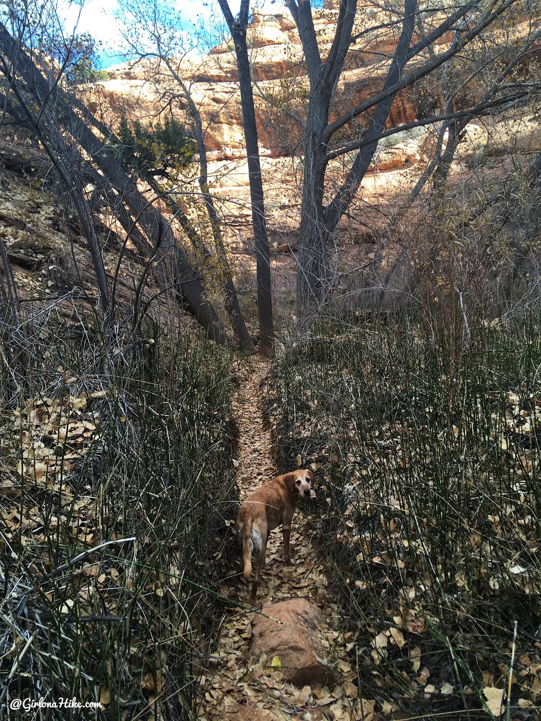
You’ll hike through some vegetation, and the trail is very well traveled.
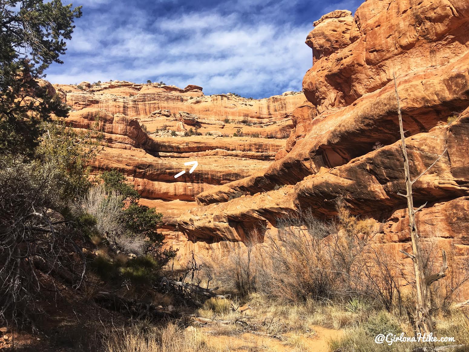
As you turn around the first bend, look up! There are two ruins sandwiched into the ledges. It’s hard to see in photos, so I highly recommend carrying binoculars with you.
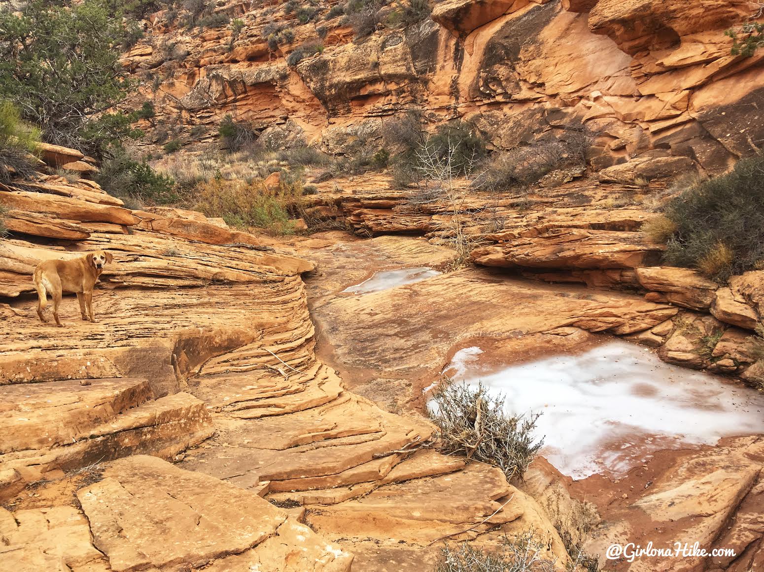
You’ll soon hike through a narrower canyon section. The white stuff is actually frozen pools of water! We were able to crack it a little so the dogs could take a drink.
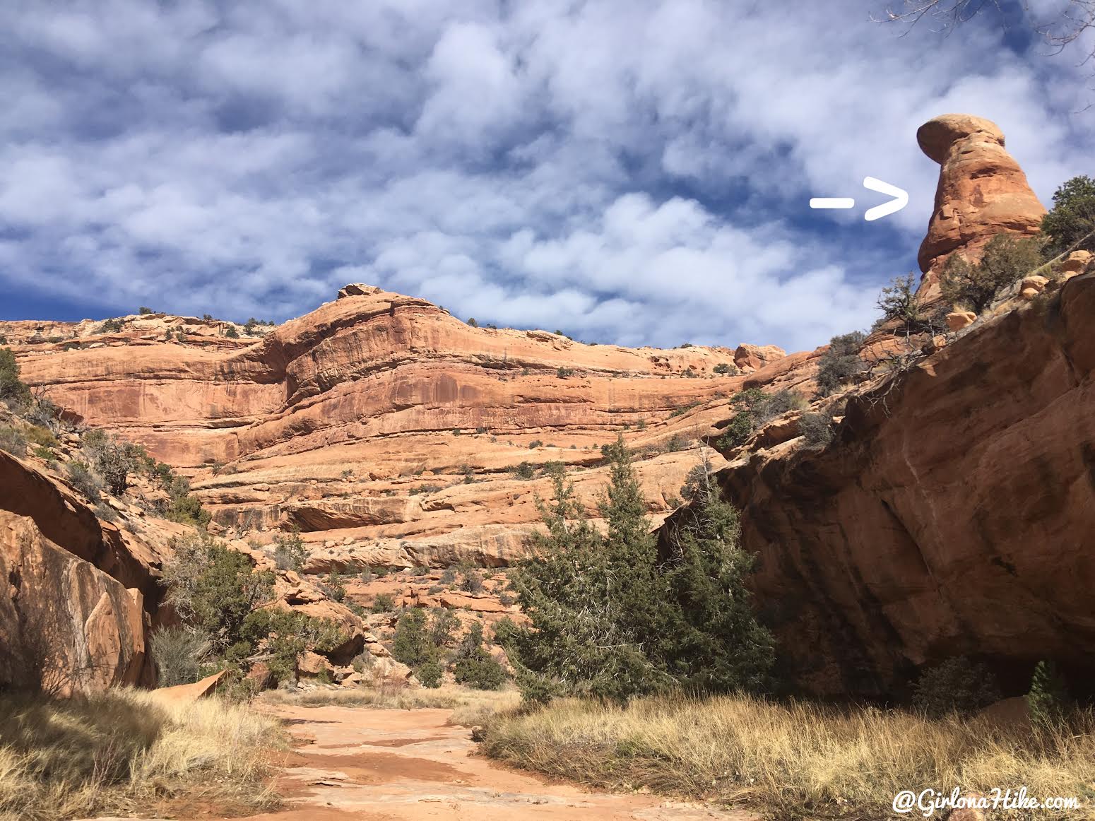
Keep an eye out for this large single, bulbous rock on your right (south). Seven Kivas is just around one more bend. At this same spot you’ll see a left fork – there is a large alcove on a West facing wall but no ruins remain here.
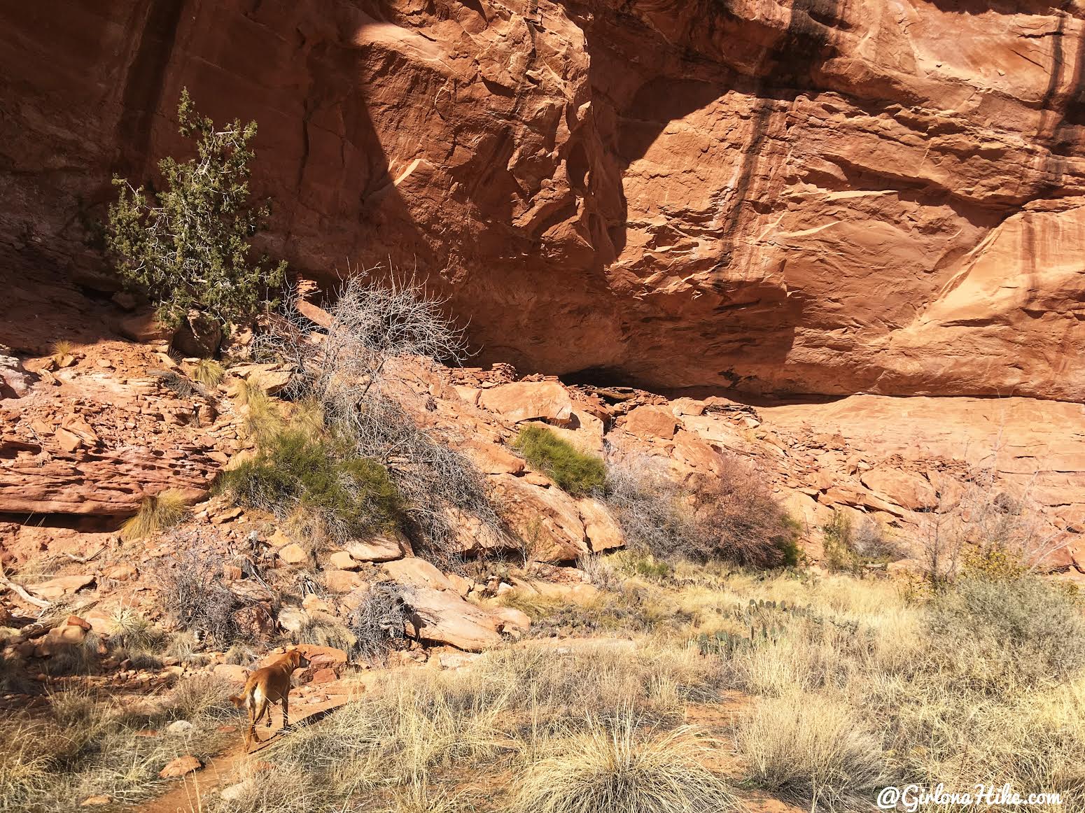
Just past the bulbous spire, you’ll see a small alcove on the south facing wall. This is your destination – Seven Kivas! The entrance to walk around the site is on the far East end.
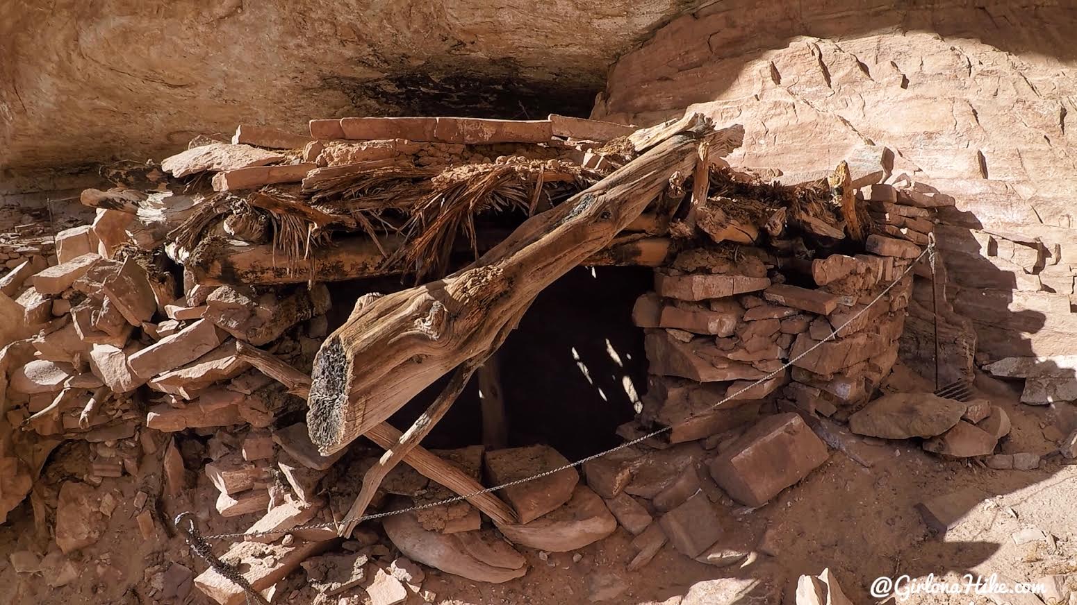
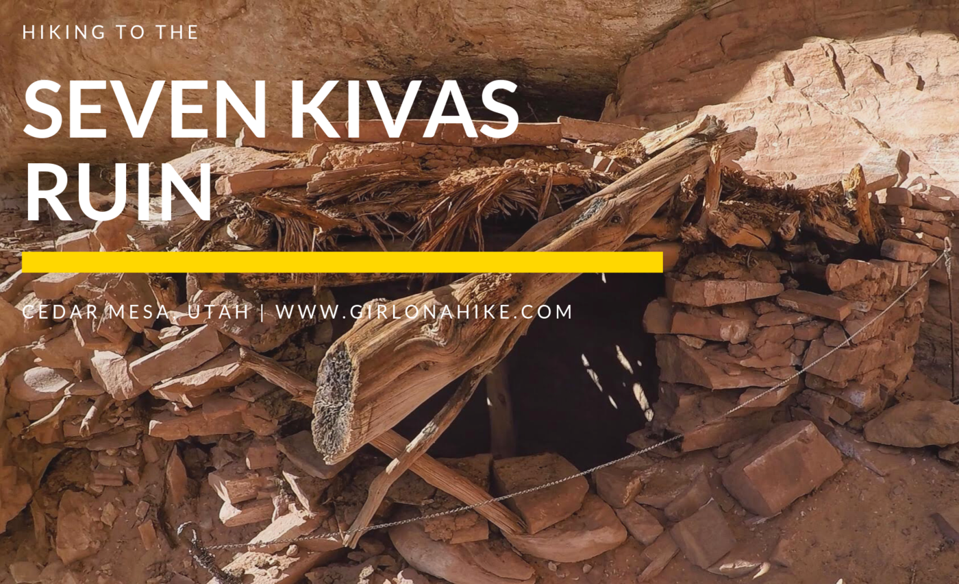
Wow! Amazing that the roof of two kivas was still present. I always wonder how the people were able to fit through these tiny holes to get inside.
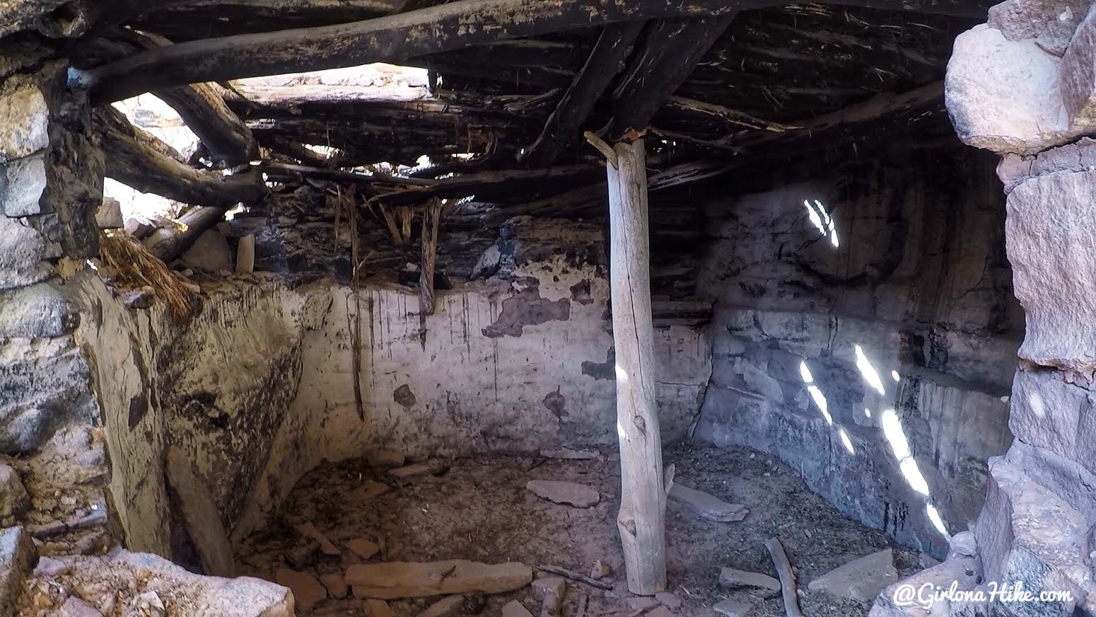
A look inside. Pretty well made for 800 years ago! I was able to stick my GoPro up close to look inside, but of course, you are not allowed to touch anything or go inside the kivas.
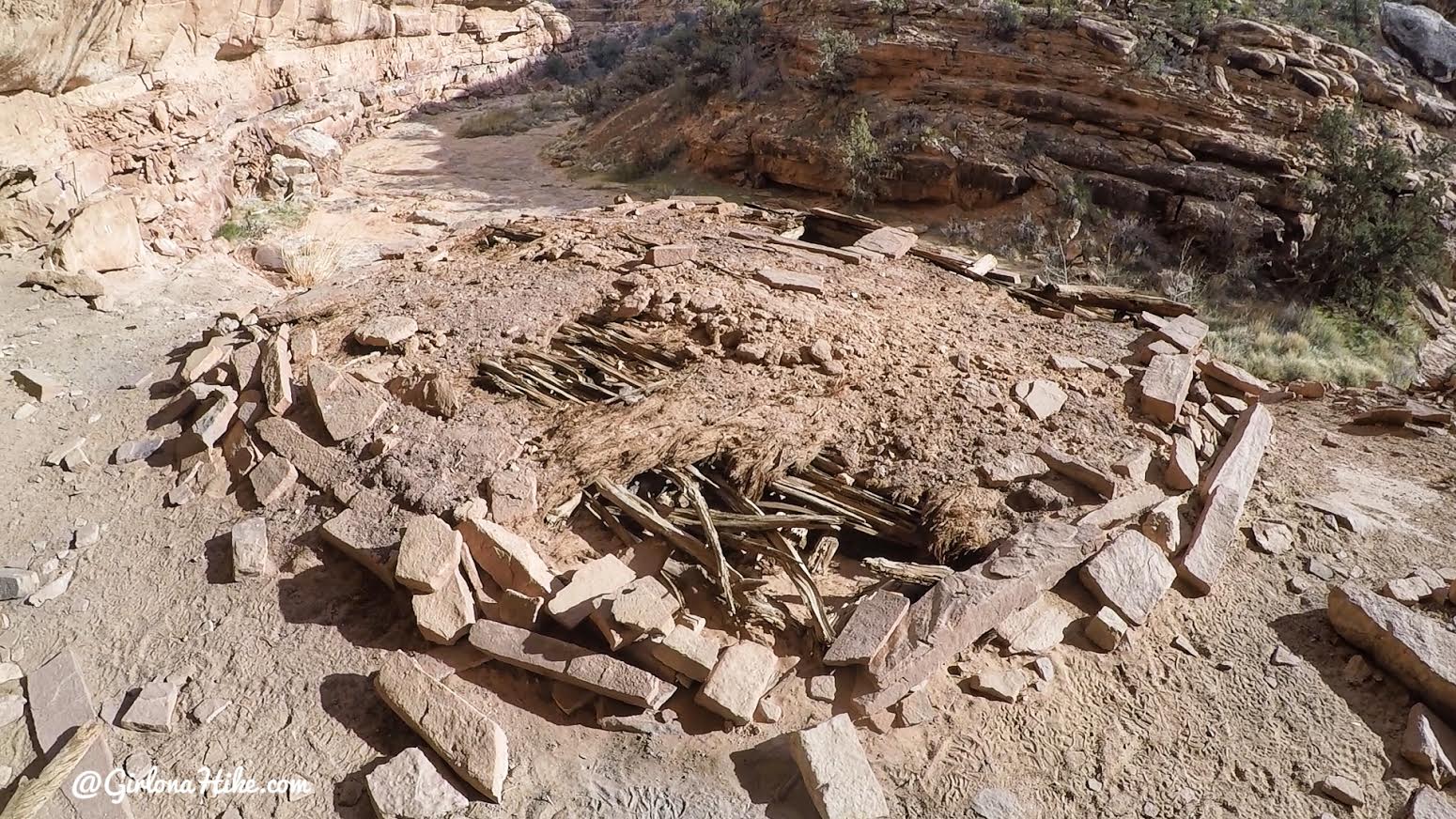
Another kiva with a roof still remaining.

Roof entry
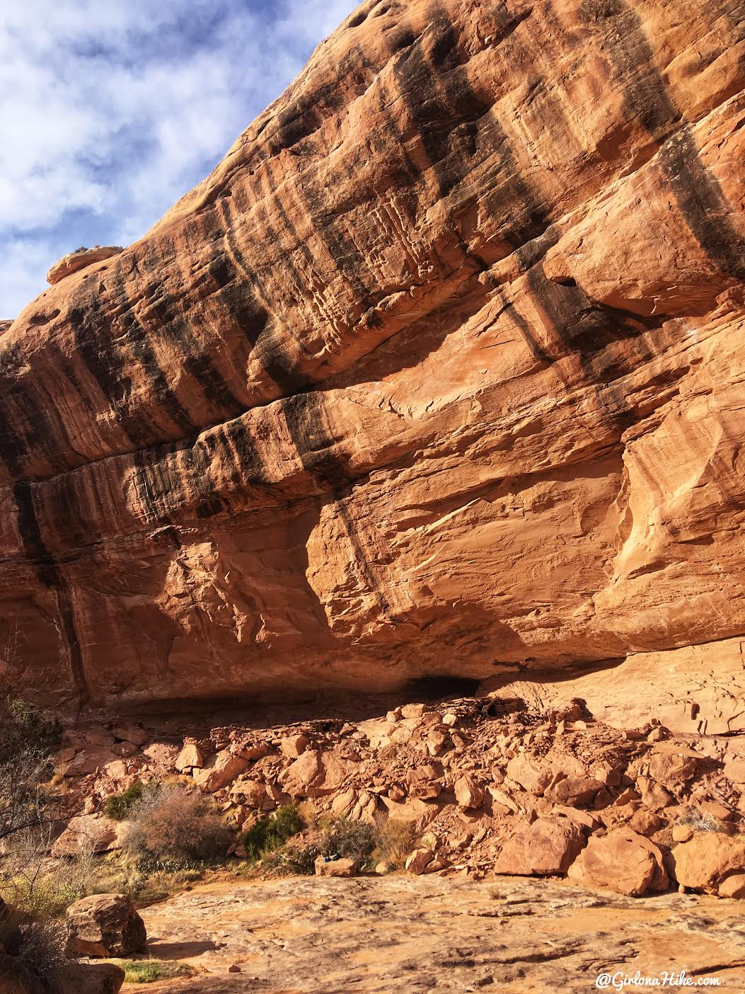
We absolutely loved these ruins!
Trail Map
Nearby Hike
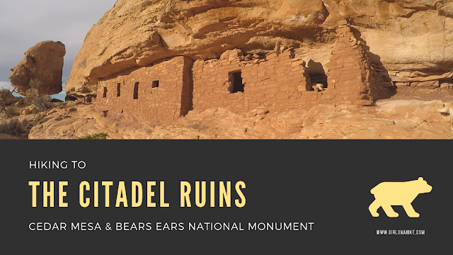
Hiking to the Citadel Ruins, Cedar Mesa

Save me on Pinterest!
