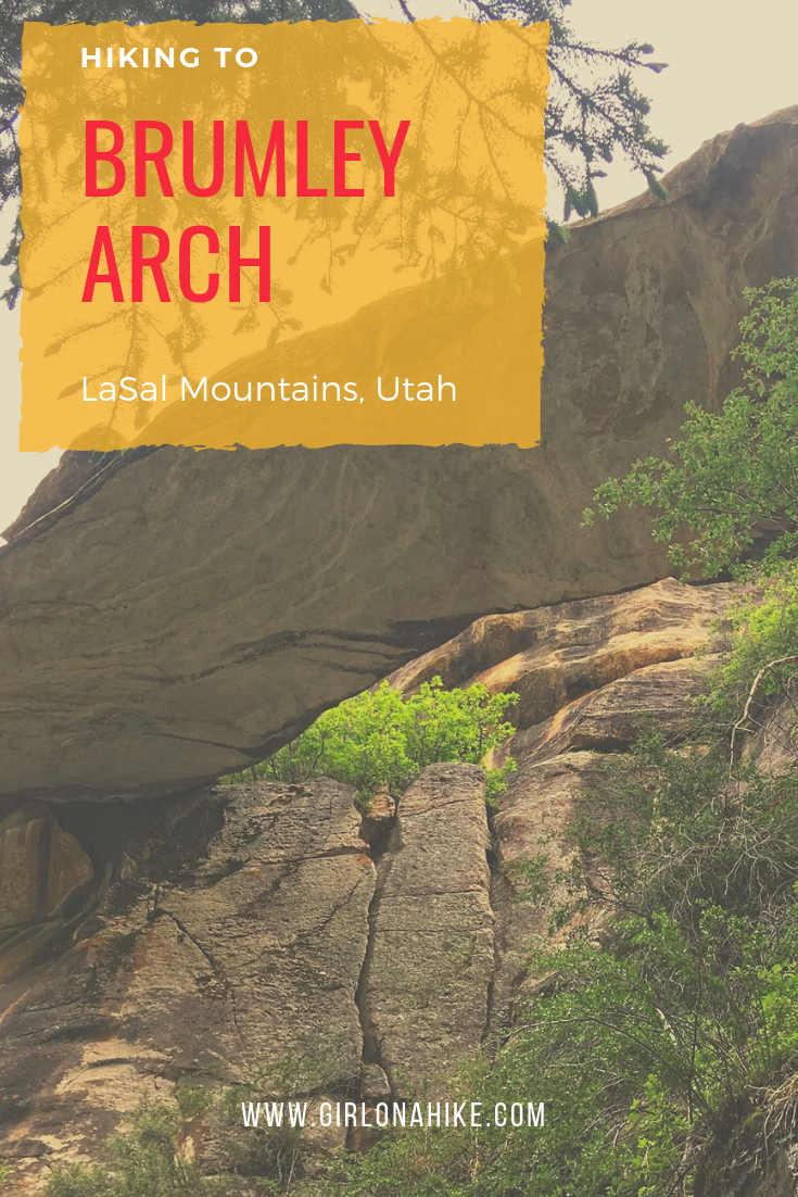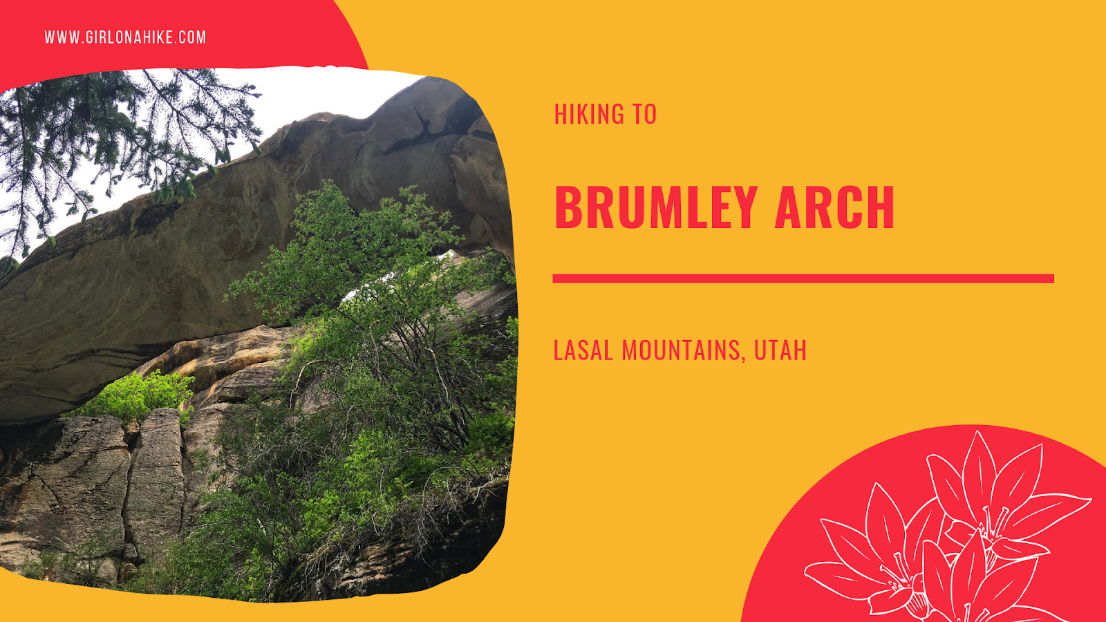

Brumley Arch is located in the LaSal Mountains, just outside Moab, Utah. It is only 2 miles round trip, making this a great family-friendly hike that even dogs are allowed to hike to. The trail is very shaded, but has some steep spots, especially to get to the bottom of the creek and to see the arch so it’s best for kids over age 6. Brumley Creek runs year round, though water levels may be quite low in late Summer to Fall.
Directions
From Moab head south on HWY 190, then turn left on the Old Airport Road. AT the “T” turn right following the signs for the LaSal Loop Road. Drive 11.6 miles and look for the brown sign for Geyser Pass. Turn right at the sign, then drive up the well-graded dirt road for 2.9 miles. You will see the Squaw Springs TH parking area on the right side of the road. This road is only accessible typically from May to October when the gate is open. Call the ranger station to make sure it’s open before driving out there.
Here’s a driving map.
Trail Info
Distance: 2 miles RT
Elevation gain: 315 ft
Time: 1-2 hours
Dog friendly? Yes, off leash
Kid friendly? Yes, ages 6+
Fees/Permits? None
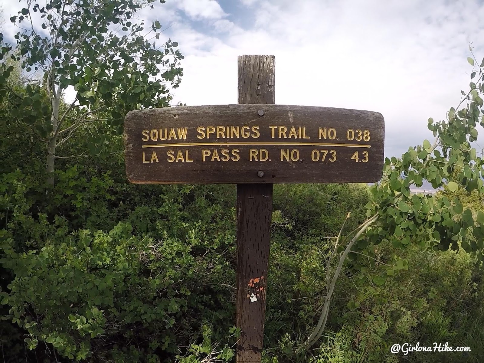
Start at the Squaw Springs TH.
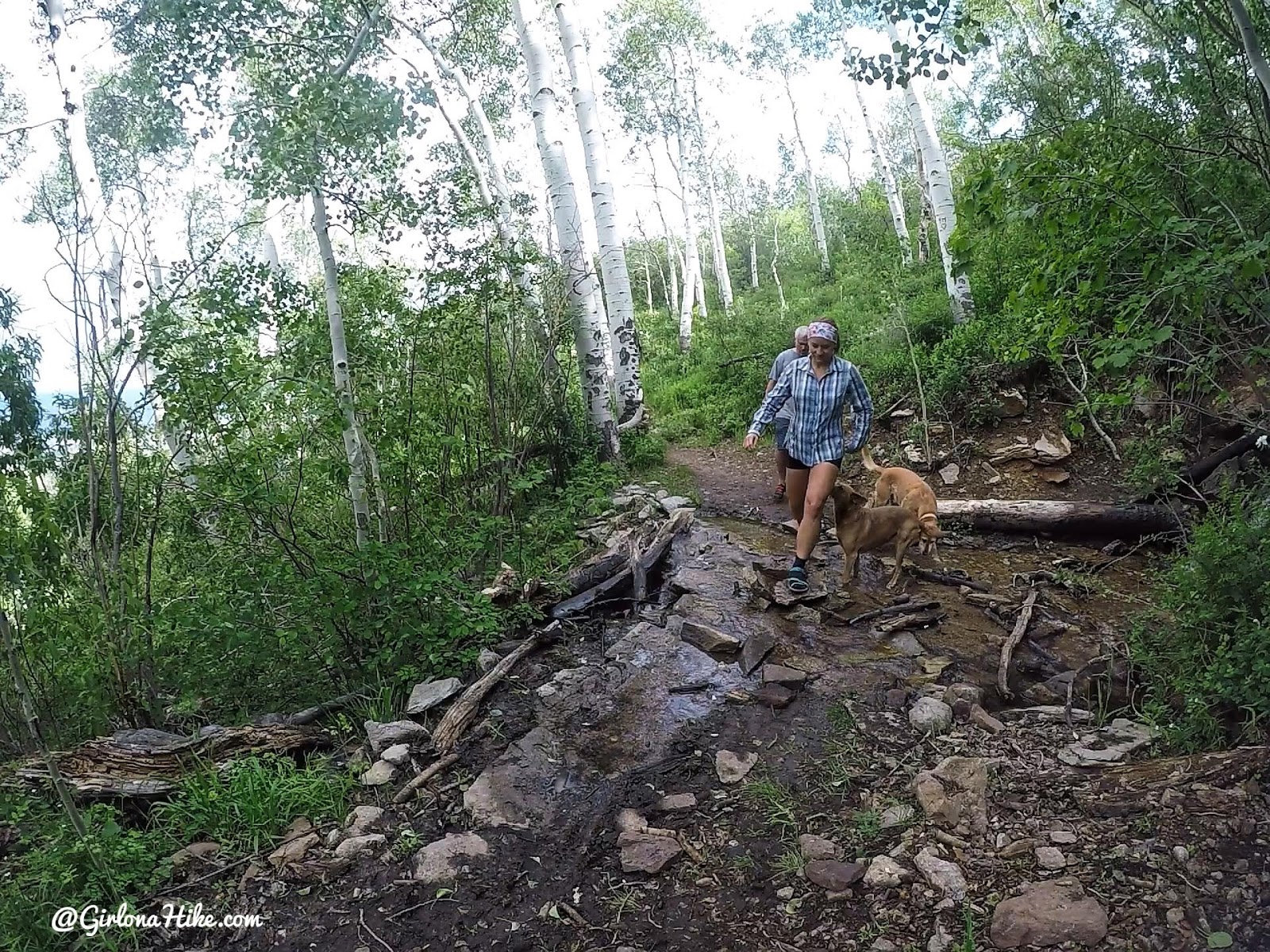
The hike is very flat and well shaded. You will cross this creek within 10 minutes. It may be dry later in the year.
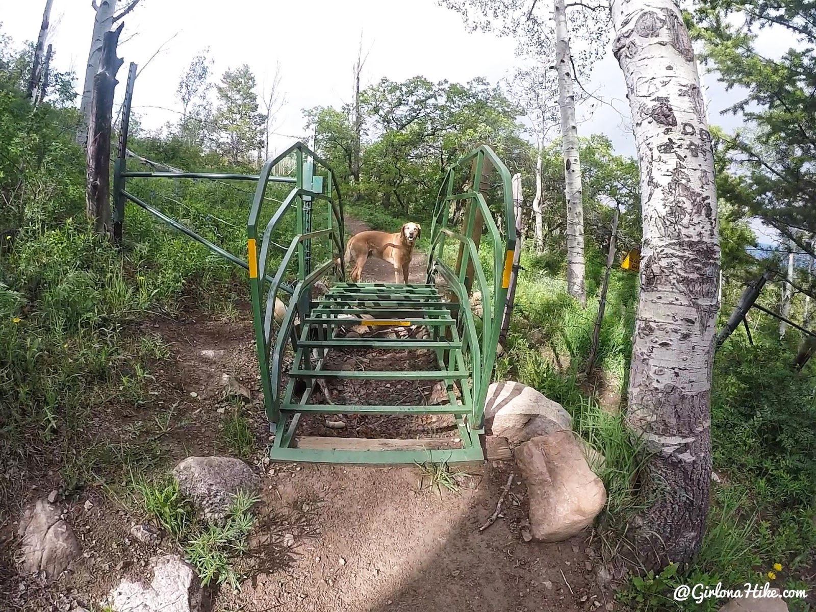
Cross the cattle gate.
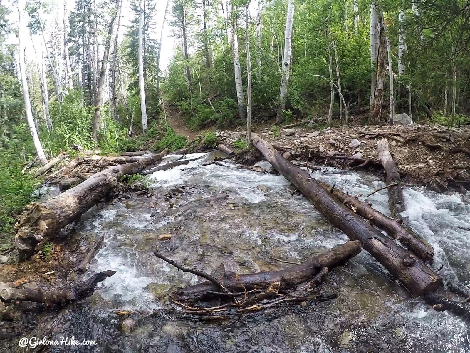
You will then have to cross Brumley Creek. When we hiked here late June, the creek was knee deep. We had a really big snow year and the LaSals were still melting off that snow. In a drier year, it may be easier to cross.
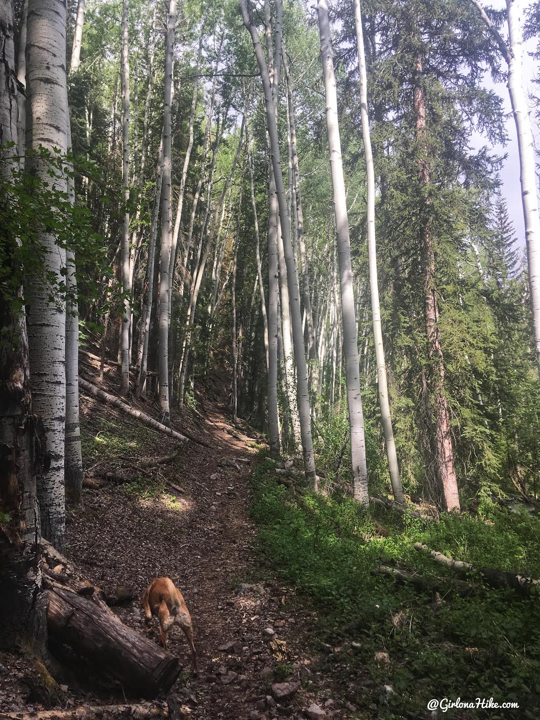
After crossing the creek, you will hike up a hill.
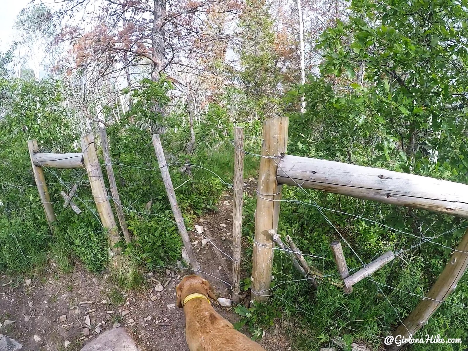
The turn off to get to Brumley Arch is marked by this gate.
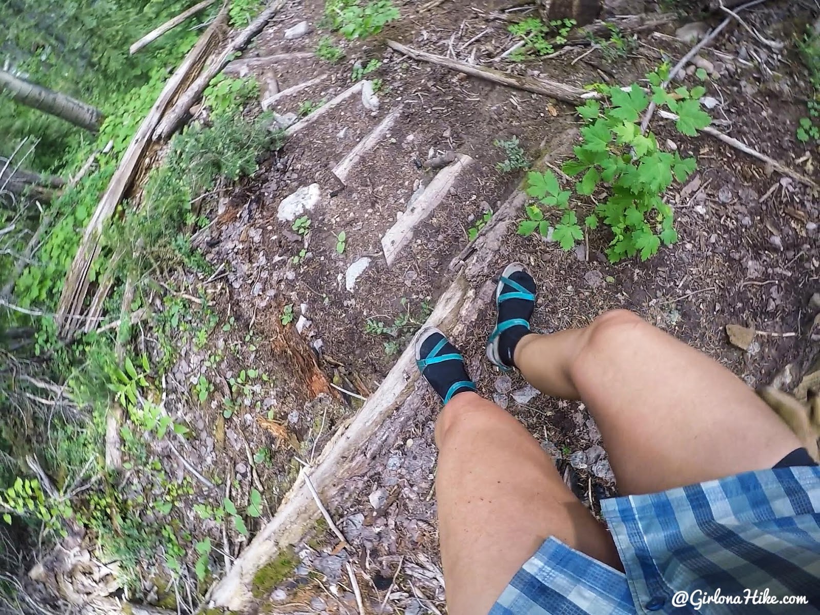
After going through the gate you will hike steeply down another hill, often using wood slats to help as steps. Some of them, like these pictured, are quite steep down! You can see that I’m wearing my Teva’s and neoprene socks for this hike. I knew the water would be ice cold from all the snow melt and didn’t want my feet to freeze. It worked out perfectly!
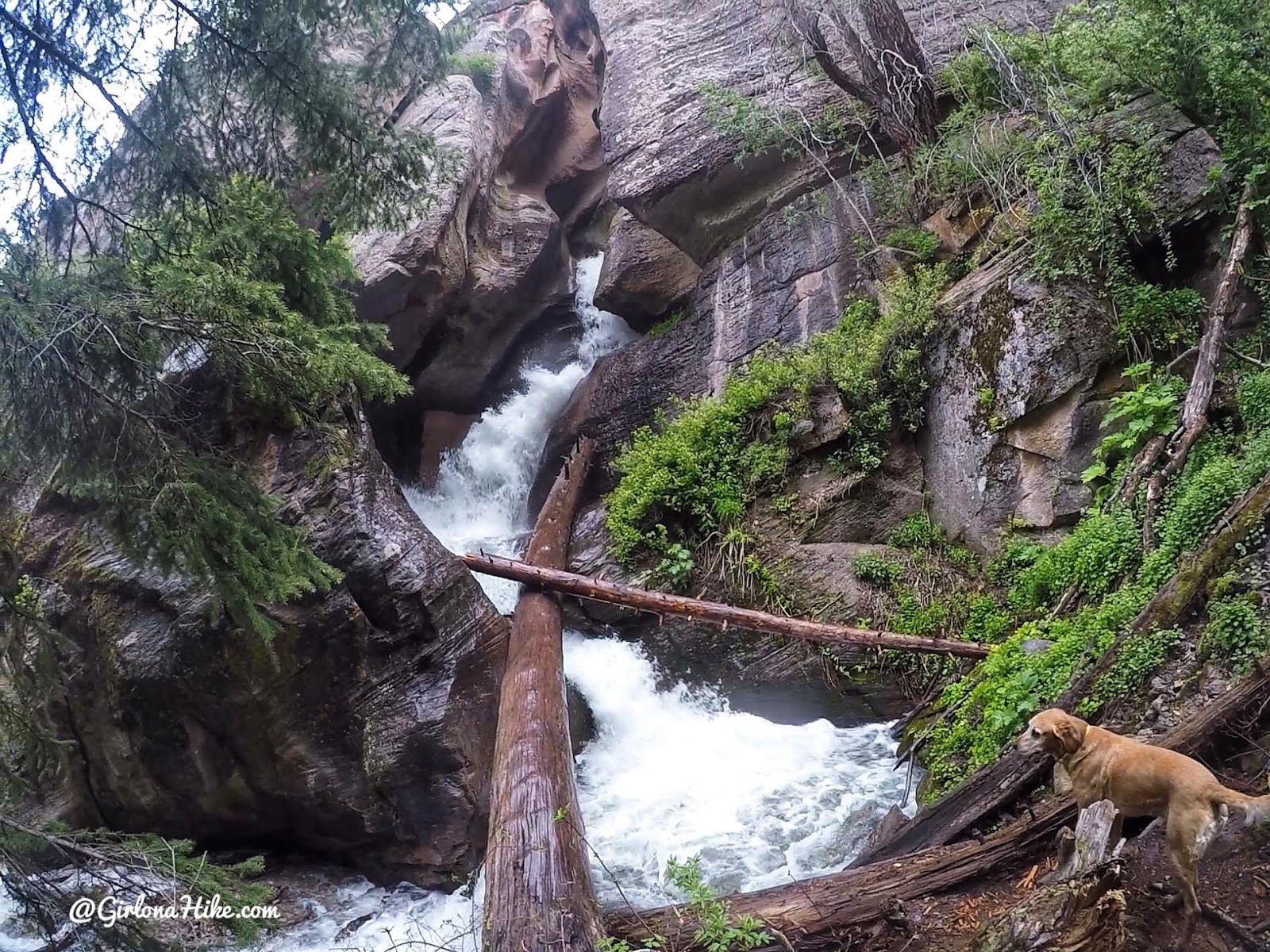
After only 30 minutes or so, we reached the waterfall coming out of the slot canyon! There was so much water!
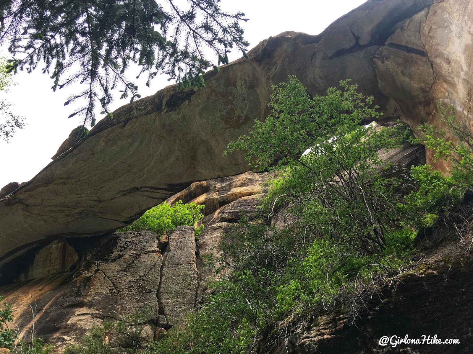
You should now be able to see Brumley Arch to the left of the waterfall. There’s a cave below it that you can hike to as well, but there’s nothing in it.
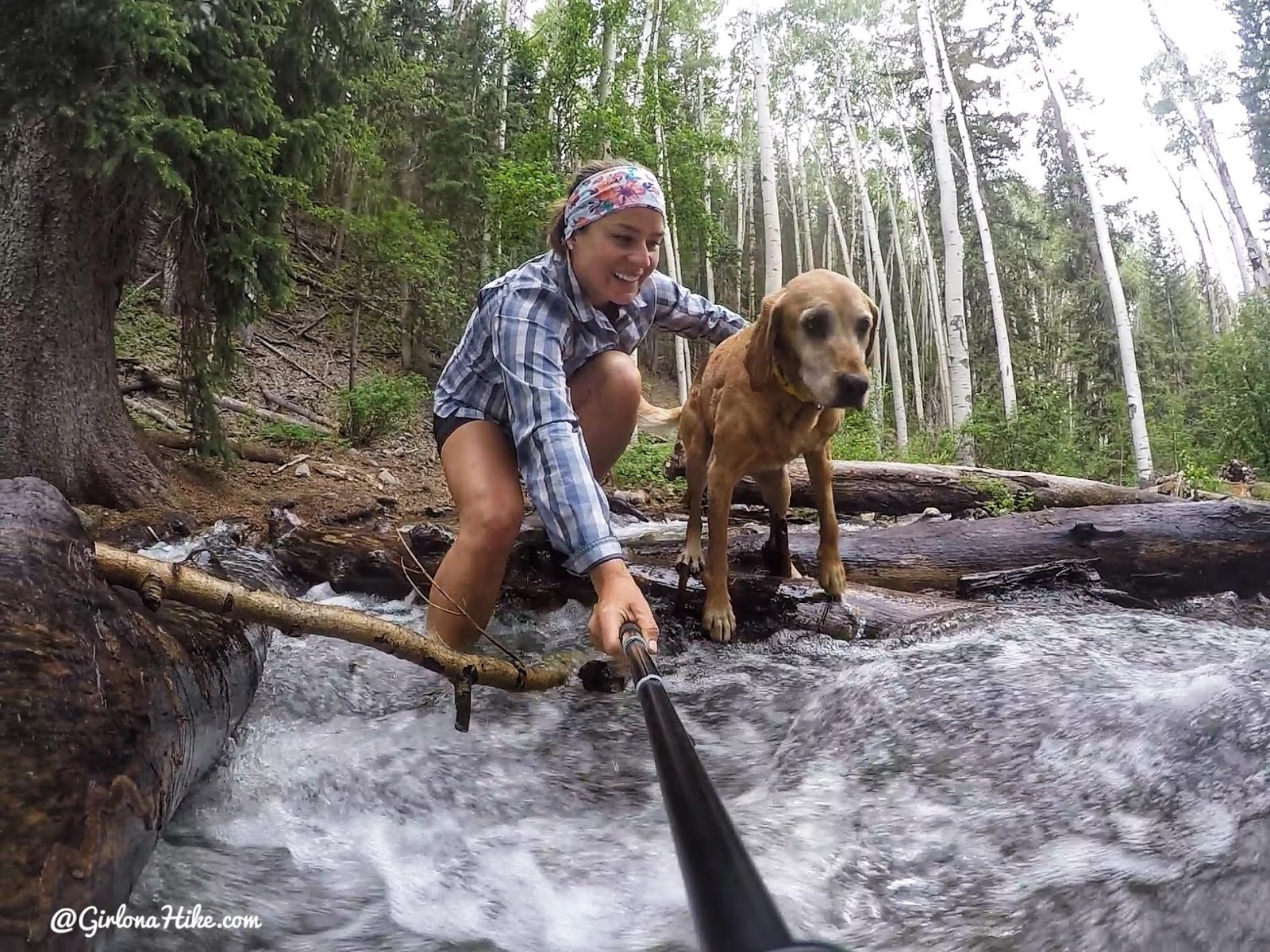
Crossing the creek on the way back.
Check out my video!
Trail Map
My track via Gaia GPS – the best tracking app! Get your app here for a discount.
Nearby Hike
Hiking to Mann’s Peak, LaSal Mountains

Save me on Pinterest!
