Skip to content
logo dark logo
  • Dog Friendly Lists
  • Find a Hike
  • Discount Codes
  • Fav Gear
  • About
    • Testimonials
    • Awards & Features
Mobile Logo
  • Dog Friendly Lists
  • Find a Hike
  • Discount Codes
  • Fav Gear
  • About
    • Testimonials
    • Awards & Features
Top
Home  >  Hiking   >  Hiking to Nobletts Creek, Uintas
Uintas

Hiking to Nobletts Creek, Uintas

Hiking
Share the love!
Shares

Hiking to Nobletts Creek, Uintas

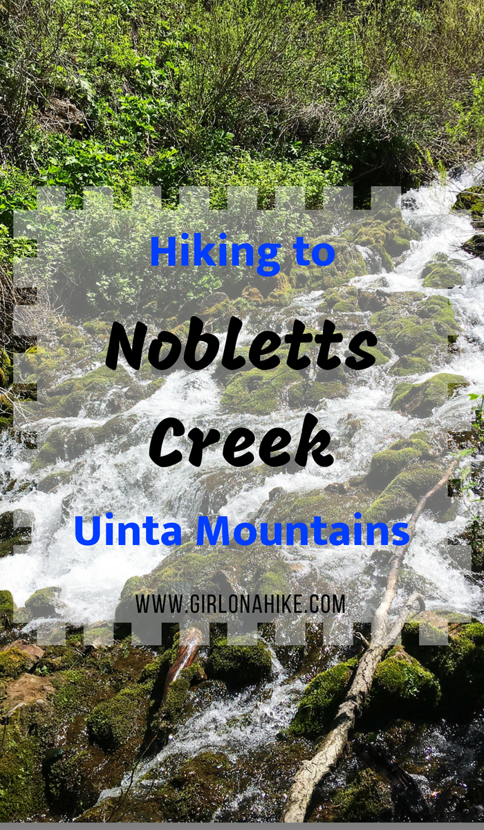
Noblett’s Creek, located in the Southwestern end of the Uinta Mountains, is a good early/pre-season hike when the rest of the high elevation hikes in the Uintas are still covered with snow and mud. Because Noblett’s Creek is at an elevation of 7,400 ft it is typically ready to hike by end of May/early June (depending on the snow pack from Winter). This trail is really short at only 2 miles round trip, making it perfect for families and kids.

Contents hide
1 Share the love!
2 Directions
3 Trail Info
4 Trail Map
5 Nearby Hike
6 Save me on Pinterest!
6.1 Share the love!

Dogs are also able to hike here off leash. Please be advised that this is a very popular trail, and only well-behaved dogs should hike here (or should be on leash). On a Sunday we passed probably 15 people in one hour! This hike is accessible year round, and you don’t need 4×4 drive to get here since it’s located right off Highway 35. There is plenty of shade and water, so if it’s hot consider wearing water shoes like Chacos or Tevas to stomp around in the water to cool off.
 

Directions

From SLC head East on I-80 through Parley’s Canyon. Take exit 146 for HWY 40 south towards Heber, UT. Take exit 4 towards Kamas, UT. At the Kamas light, turn right onto HWY 32. Drive 2 miles, then turn left at the 4-way stop in Francis, UT. Drive about 12 miles on HWY 35 until you see the Nobletts Creek parking lot on the left.

Here’s a driving map.


Trail Info

Distance: 2 miles RT

Elevation gain: 239 ft

Time: 30 minutes – 1 hour

Dog friendly? Yes, off leash

Kid friendly? Yes

Fees/Permits: None

Hiking to Nobletts Creek, Uintas

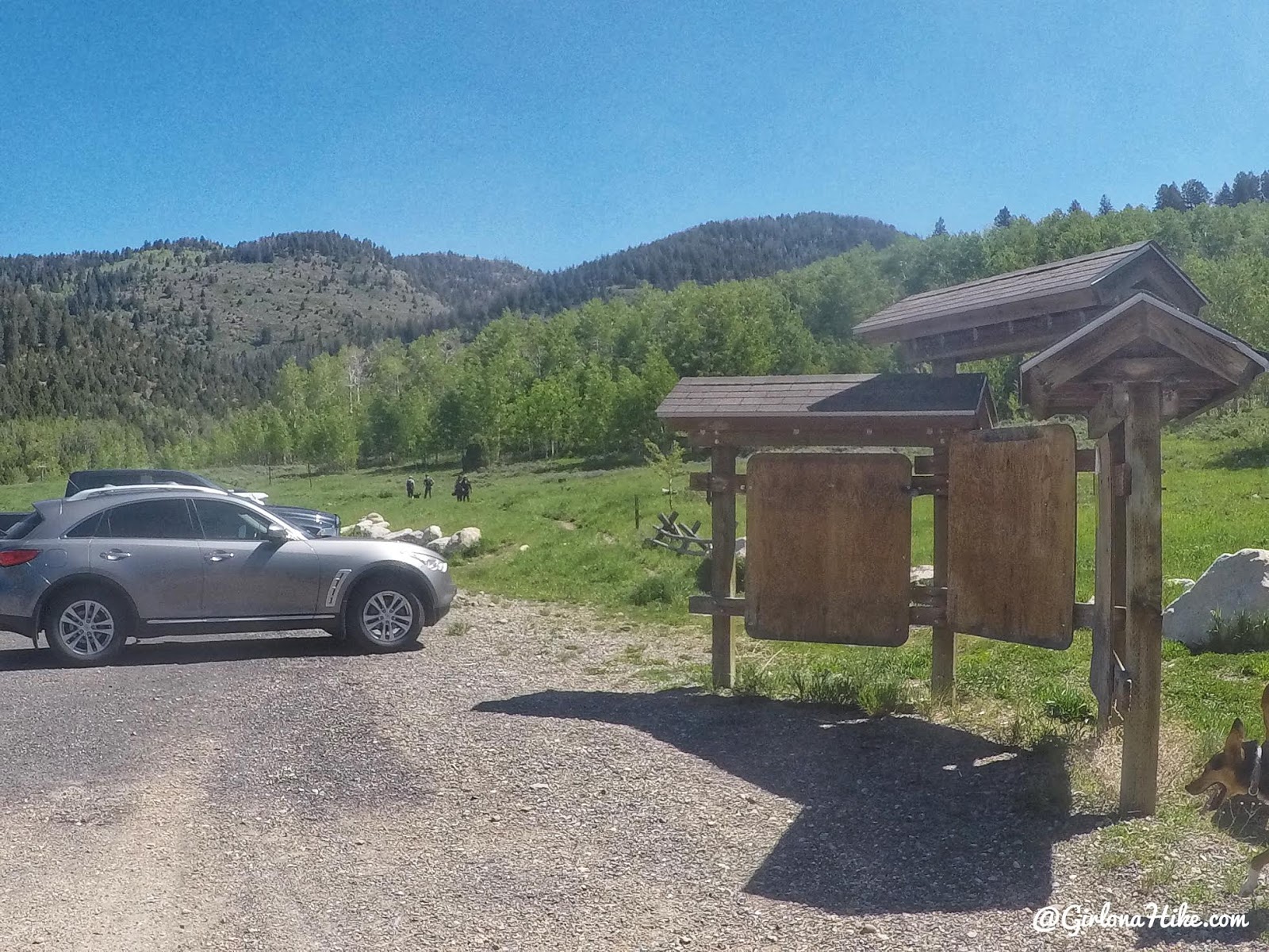
Off HWY 35, you’ll see two signs for Nobletts Creek and the parking area on the left. You can’t miss it, it’s one of the biggest parking lots ever.

Hiking to Nobletts Creek, Uintas

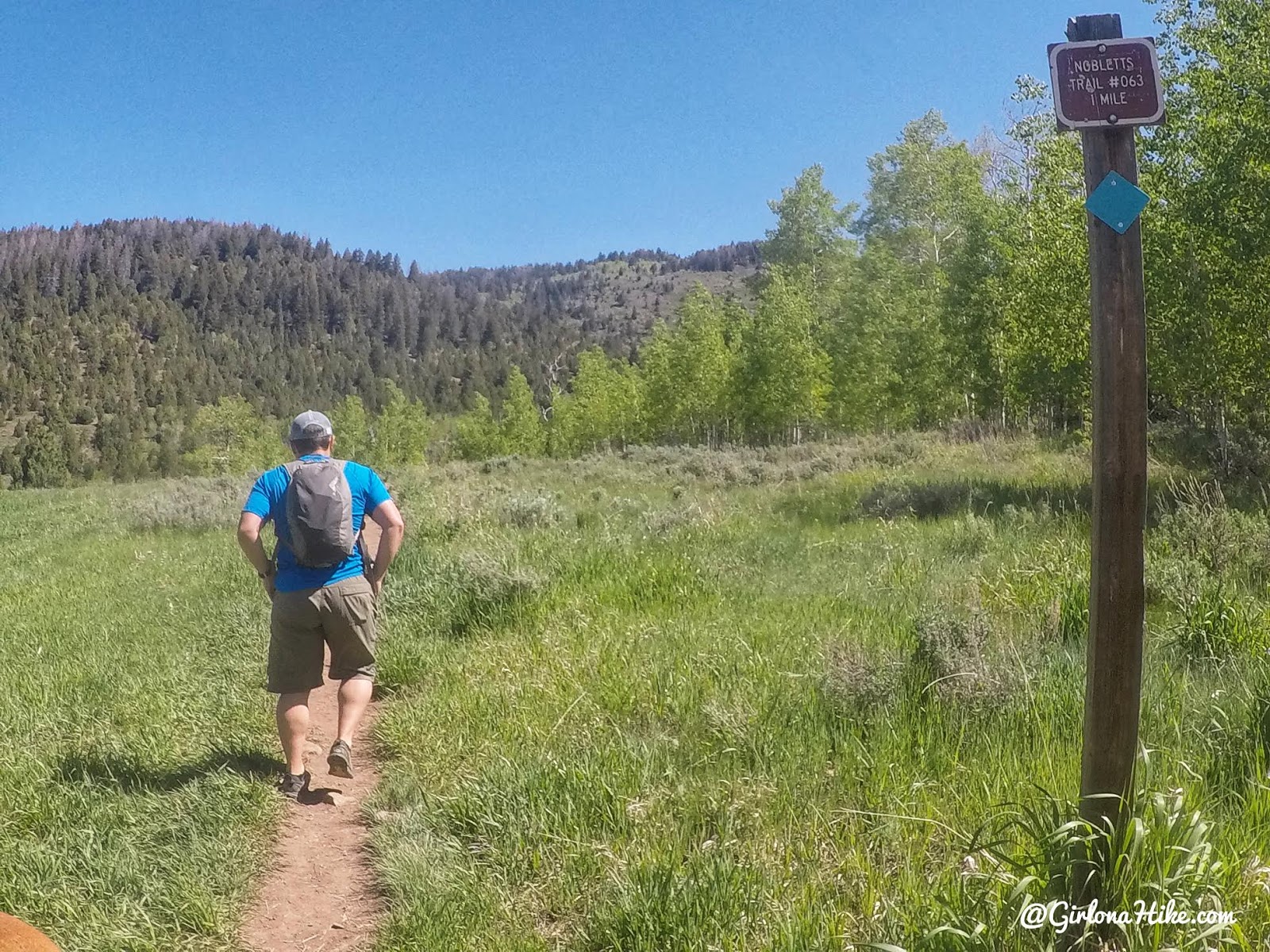
 The trail is super easy to follow and very well marked.

Hiking to Nobletts Creek, Uintas

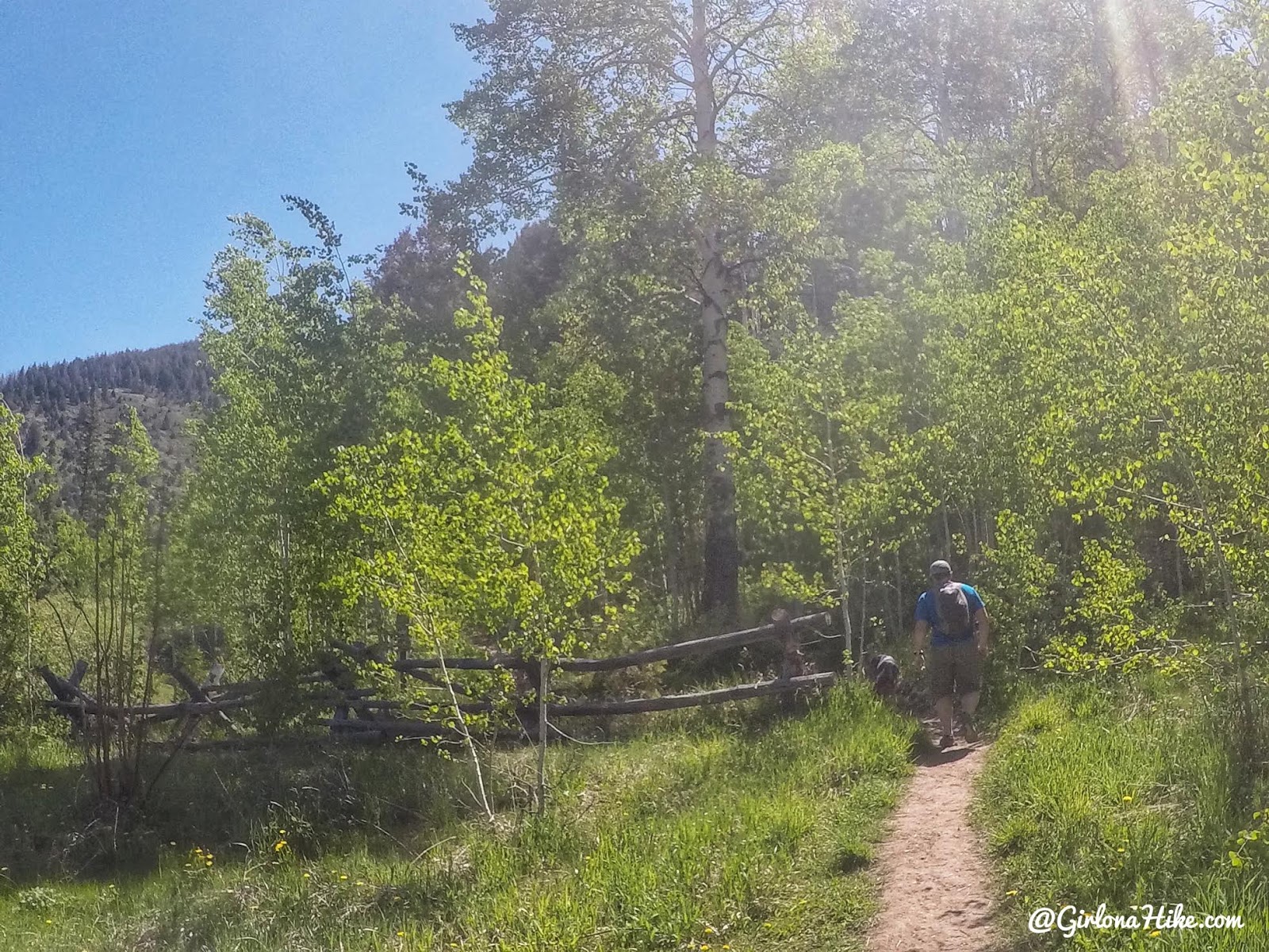
You’ll walk down a short but steep-is hill, then turn right. Pass by this old wood fence.

Hiking to Nobletts Creek, Uintas

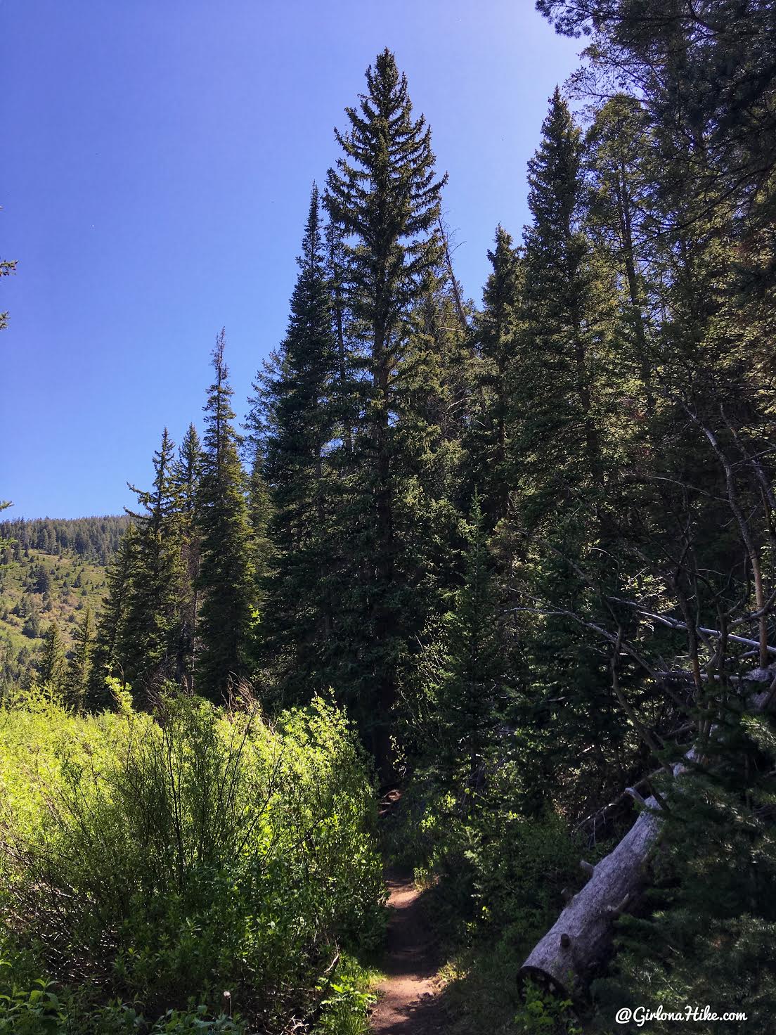
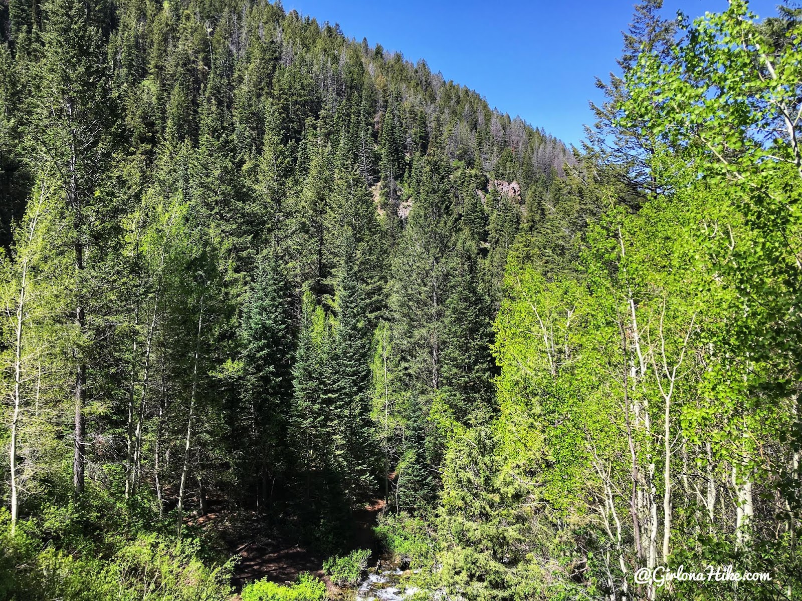
This trail is very well shaded as well.

Hiking to Nobletts Creek, Uintas

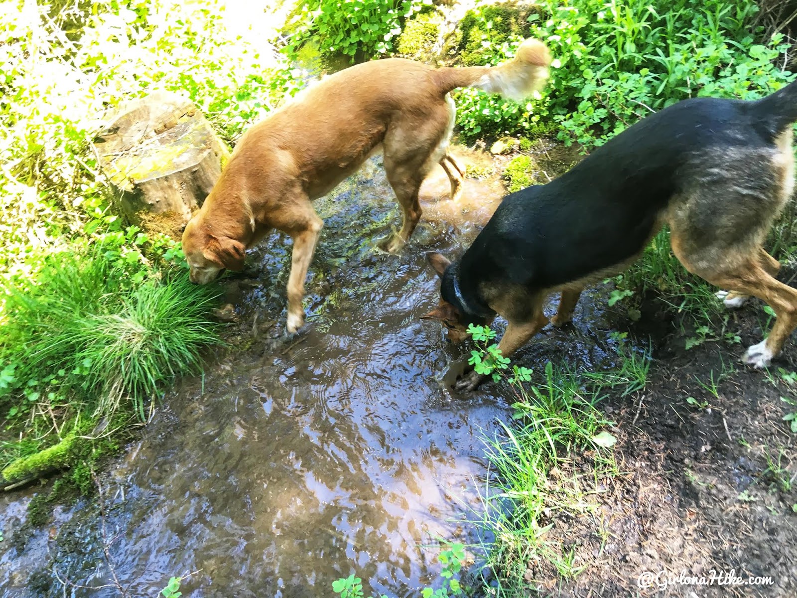
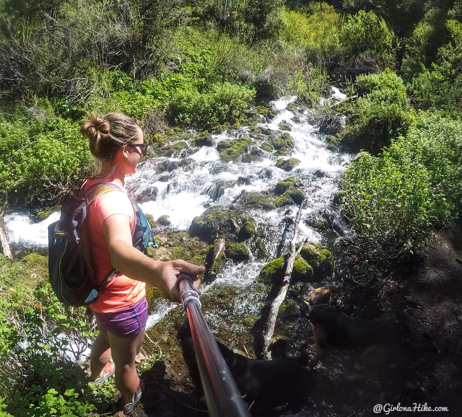
Plenty of water for the dogs right along the trail!

Hiking to Nobletts Creek, Uintas

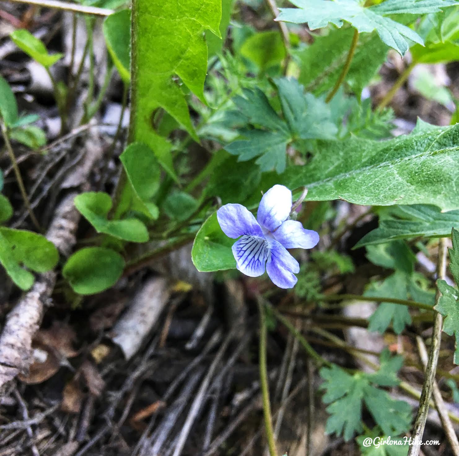
This is a Birds Eye Speedwell flower.

Hiking to Nobletts Creek, Uintas

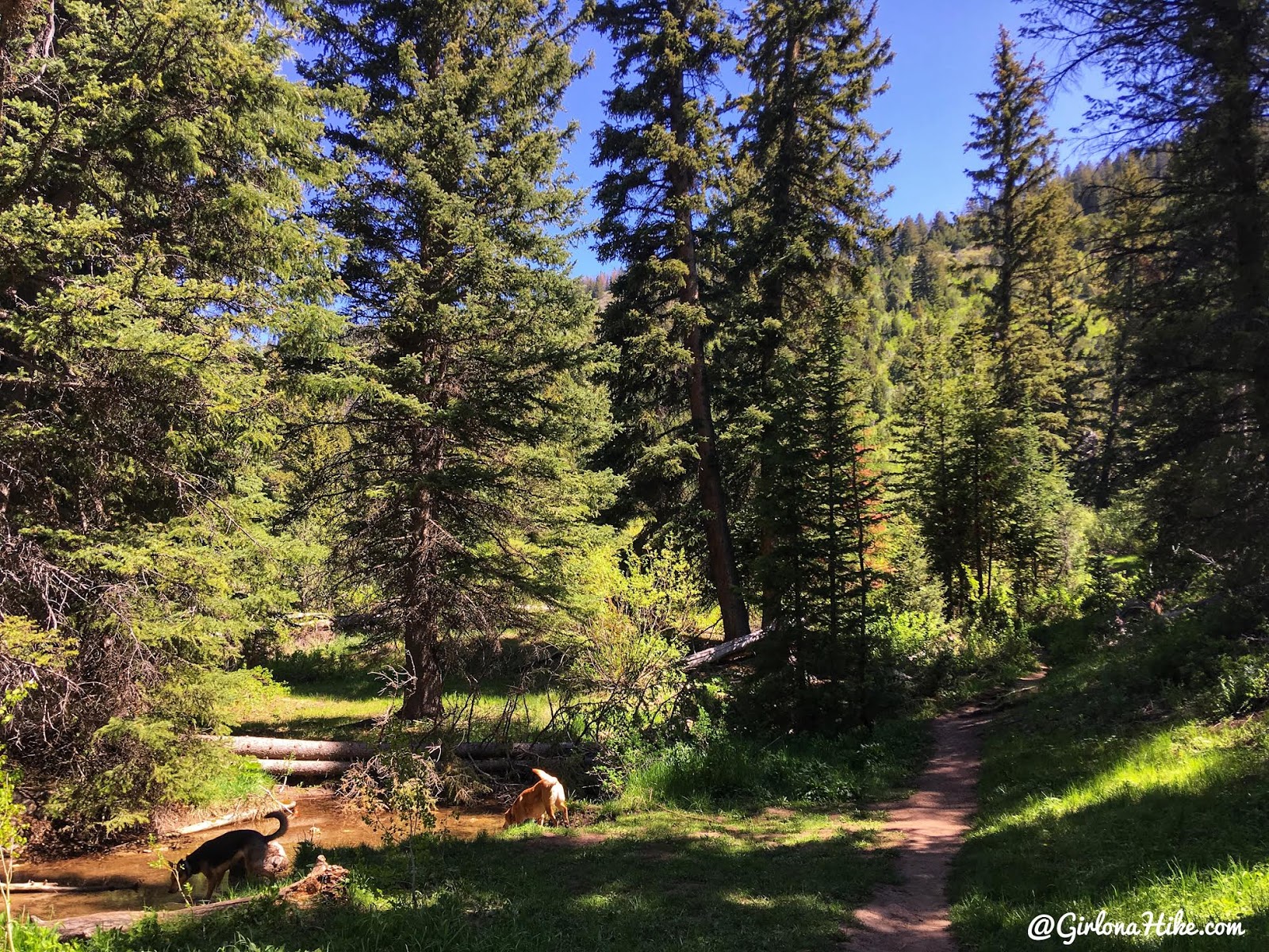
More water stops for the pups. Look how green it is! So pretty.

Hiking to Nobletts Creek, Uintas

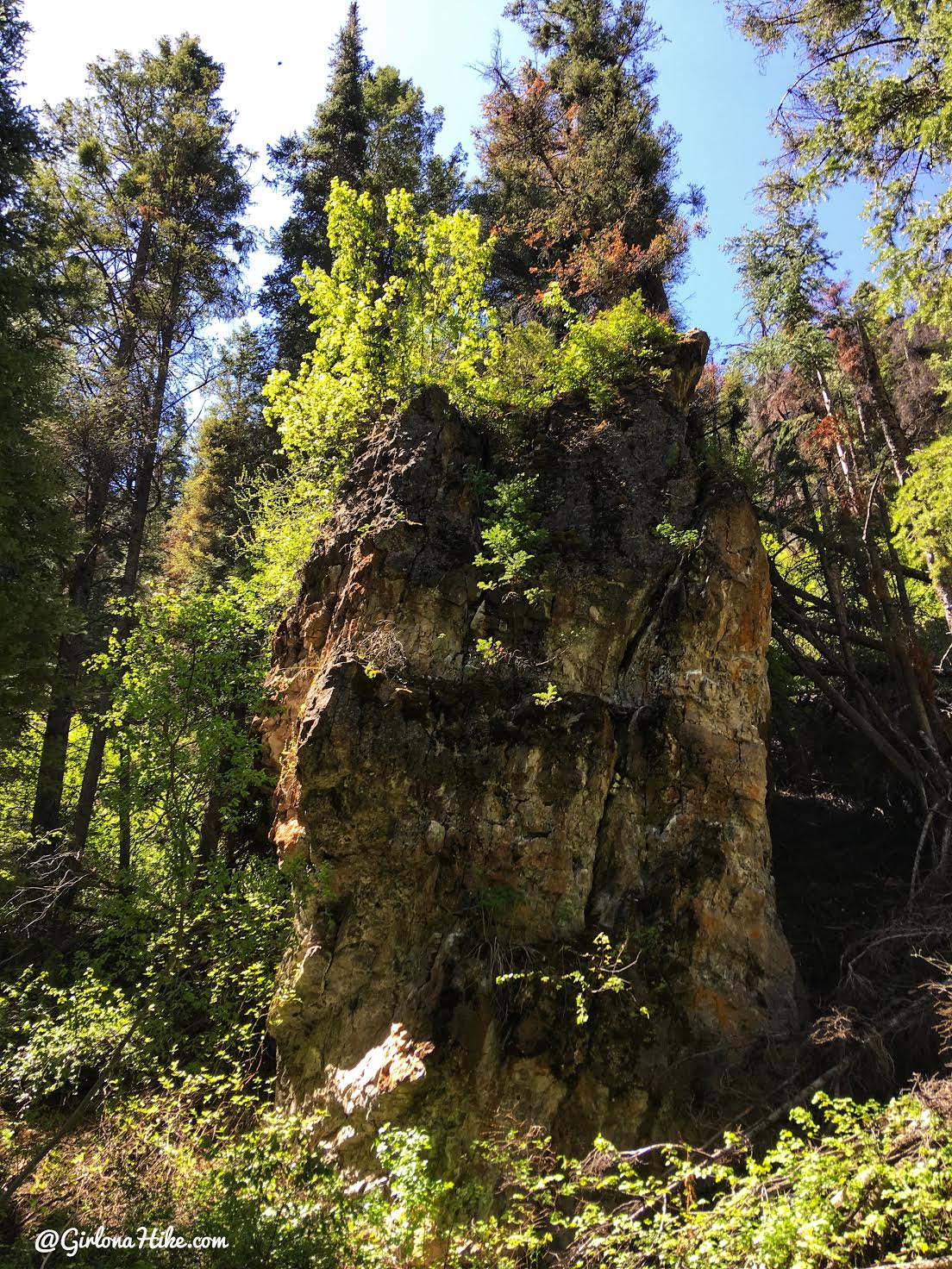
There’s also really interesting rock on the right side of the trail.

Hiking to Nobletts Creek, Uintas

Made it to the cascades in only 25 minutes at a casual pace.

Hiking to Nobletts Creek, Uintas

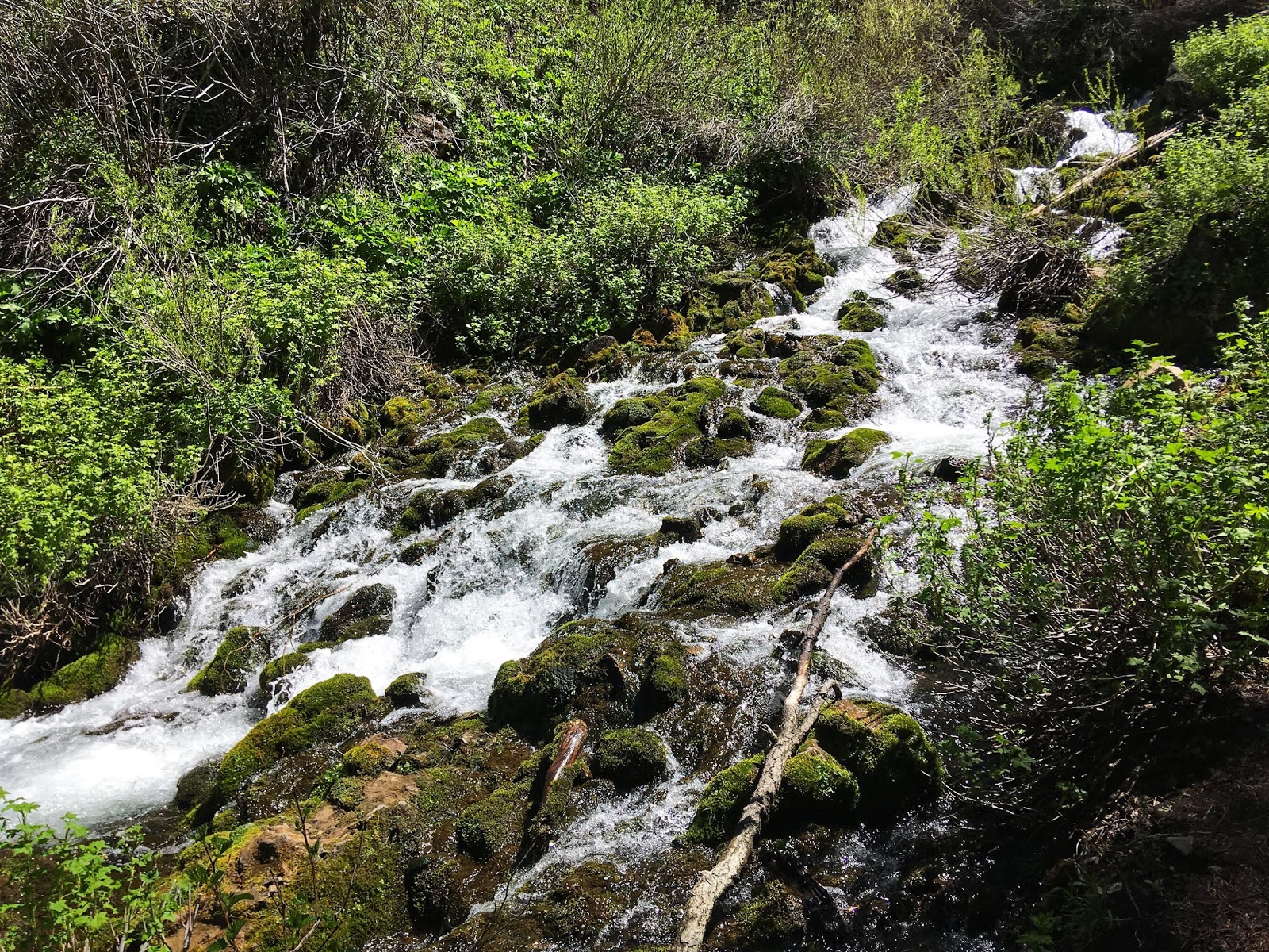
Noblett’s Creek reminds me a lot of the Cascade Springs in American Fork Canyon.

Hiking to Nobletts Creek, Uintas

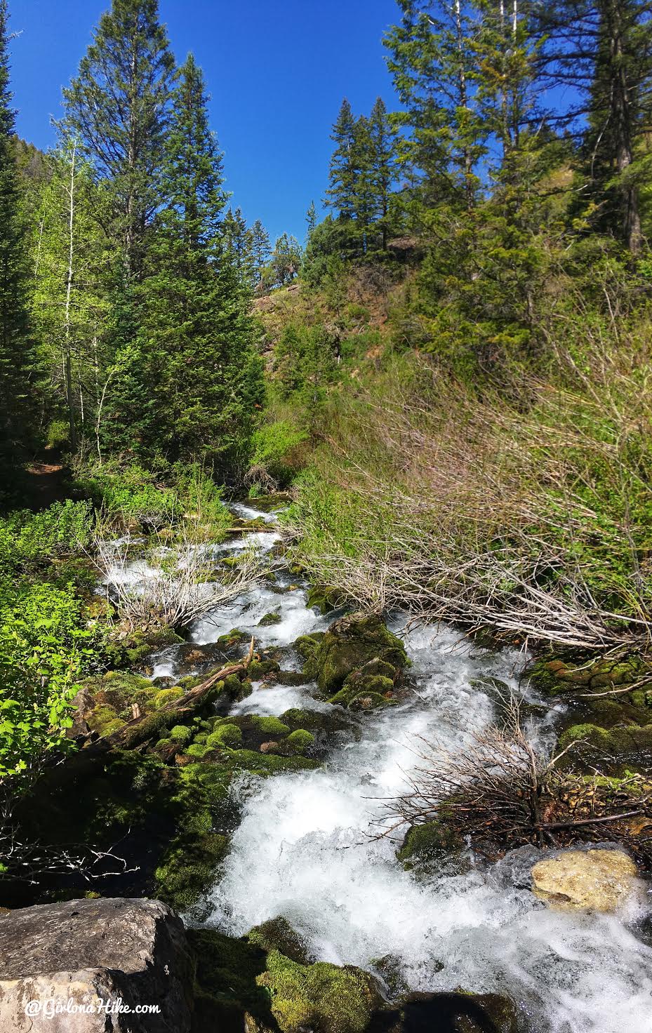
Top of the falls looking down.

Hiking to Nobletts Creek, Uintas

There is a “End of Trail” sign right at the cascades but the trail keeps going so we checked it out. We went up maybe another 100 yards and it kept getting steeper and the trail faded. I would definitely not bring kids past the spring.


Trail Map

My track via Gaia GPS – the best tracking app! Get your app here for a discount.
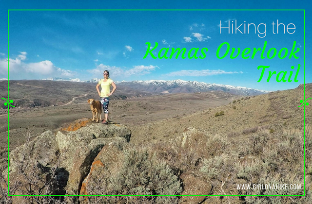
 

Nearby Hike

Hiking to the Kamas Overlook Trail

Hiking to the Kamas Overlook Trail, Hiking in the Uintas

Save me on Pinterest!

Share the love!
Shares
Central Utah Uintas
0
June 6, 2018
previous post
next post

Related Posts

Visiting Hidden Falls, Big Cottonwood Canyon

May 31, 2025
Girl On A Hike
Hiking to Summit Park Peak

Hiking to Summit Park Peak

May 25, 2025
Girl On A Hike
Oakley Ridge Trail utah

Hiking the Oakley Ridge Trail: Scenic Views & Trail Guide

May 12, 2025
Girl On A Hike
Search Trail Guides
About Us
Let’s Connect!
Social Icons
Trending Posts
  • Hiking
    Hiking the Three Falls Trail – Alpine, Utah

  • Hiking
    The 6 Best Trails in The San Rafael Swell

  • Hiking
    Hiking Grove Creek Canyon

  • Hike to the Bear Canyon Suspension Bridge, Draper, UT
    Hiking
    Hike to the Bear Canyon Suspension Bridge, Draper, UT

error: Content is protected

Share

Blogger
Bluesky
Delicious
Digg
Email
Facebook
Facebook messenger
Flipboard
Google
Hacker News
Line
LinkedIn
Mastodon
Mix
Odnoklassniki
PDF
Pinterest
Pocket
Print
Reddit
Renren
Short link
SMS
Skype
Telegram
Tumblr
Twitter
VKontakte
wechat
Weibo
WhatsApp
X
Xing
Yahoo! Mail

Copy short link

Copy link