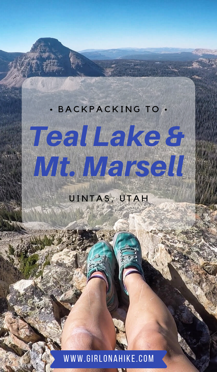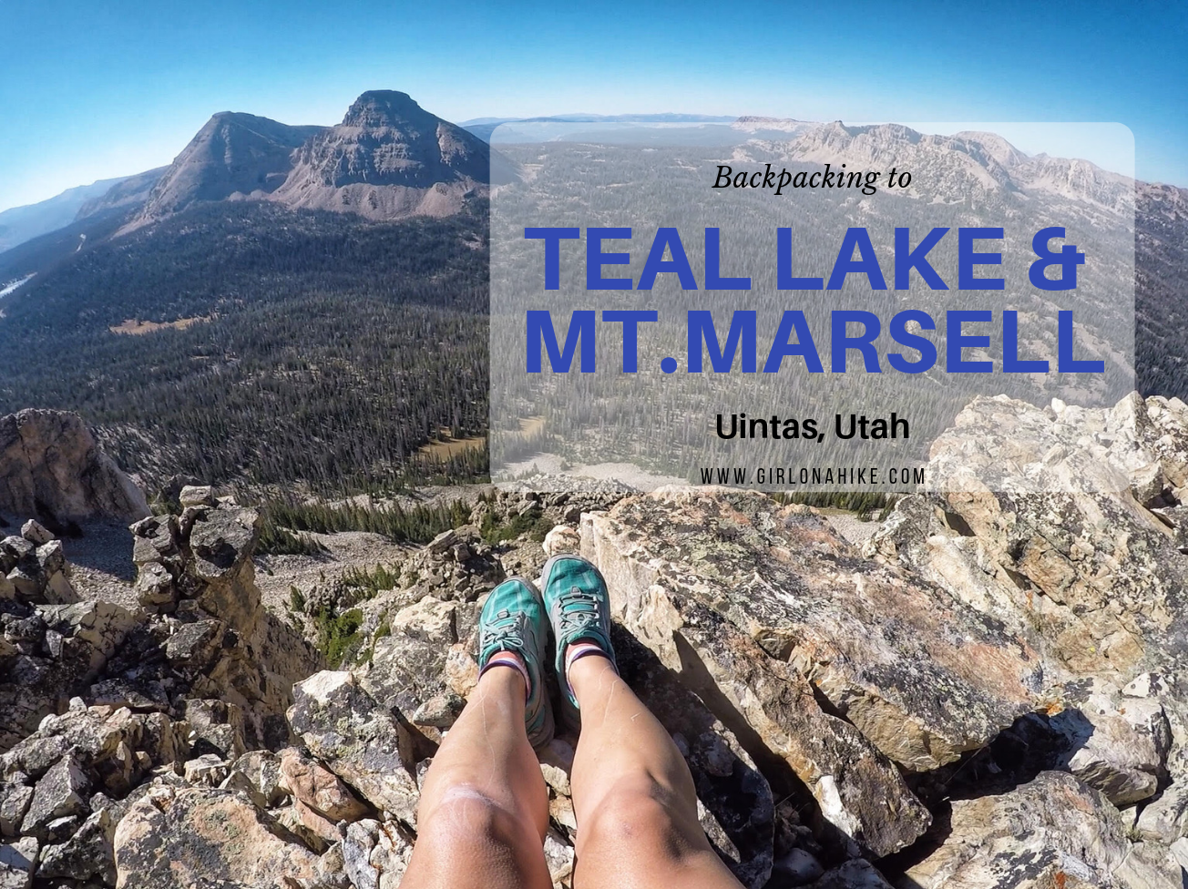

Teal Lake sits at an elevation of 10,400 ft, and is accessed via the popular Ruth Lake Trailhead. You will follow this trail for the first mile, and then after that there is no trail. You should be comfortable with a little route finding, and hiking off trail. The nice thing is that Teal Lake is a mere 2.2 miles, so you really only have to hike off trail for 1.2 miles. You’ll pass a few unnamed ponds, Jewel & Naomi Lakes, then reach Teal Lake. There are several nice campsites at Teal Lake, and fishing is plentiful.
Mt. Marsell (11,340 ft) is a nearby peak that makes for a fun, short day hike. The views from the summit are some of the best – Bald Mountain, Reids Peak, Mt. Watson, Hayden Peak, A-1 & Kettling Peak, and Mirror Lake just to name a few. There’s no trail for this peak either, but it’s only 1.1 miles from Teal Lake. However, if you only wanted to hike to the peak for the day, you could access it from several areas – Cuberant Lake, Pass Lake TH (Lofty Lake Loop), or just Ruth Lake.
Directions
The Uintas are only about 1.5 hours away. From SLC, head East on I-80 through Parley’s Canyon. Take exit 146 for HWY 40 south, then exit 4 towards Kamas, UT. At the first stop light, turn left, and at the next stop light (at the Chevron), turn right. You’ll now be on the Mirror Lake Highway. Drive for 35 miles until you reach the Ruth Lake Trailhead on your left. There are restrooms available.
Here is a driving map.
Trail Info
Distance:
2.3 miles to Teal Lake
1.1 miles from Teal Lake to Mt. Marsell
Elevation gain:
320 ft to Teal Lake
1,023 ft to Mt. Marsell
Time:
1-2 hours to Teal Lake
1-2 hours for Mt. Marsell
Dog friendly? Yes, off leash
Kid friendly? Yes, as long as they have backpacking and peak bagging experience
Fees/Permits? There is a $6 fee for a 3 day pass. It’s free if you have an annual Mirror Lake Hwy, American Fork Canyon pass, or annual National Park Pass. No permit is required. Passes can be purchased at the Ranger Station in Kamas, UT OR at the self-serve stations along the Mirror Lake Highway.
Day 1

We headed up on a Friday after work, so we reached the TH at 6:15pm. We knew the sun would be down in only an hour and half, so we tried to hike quickly.
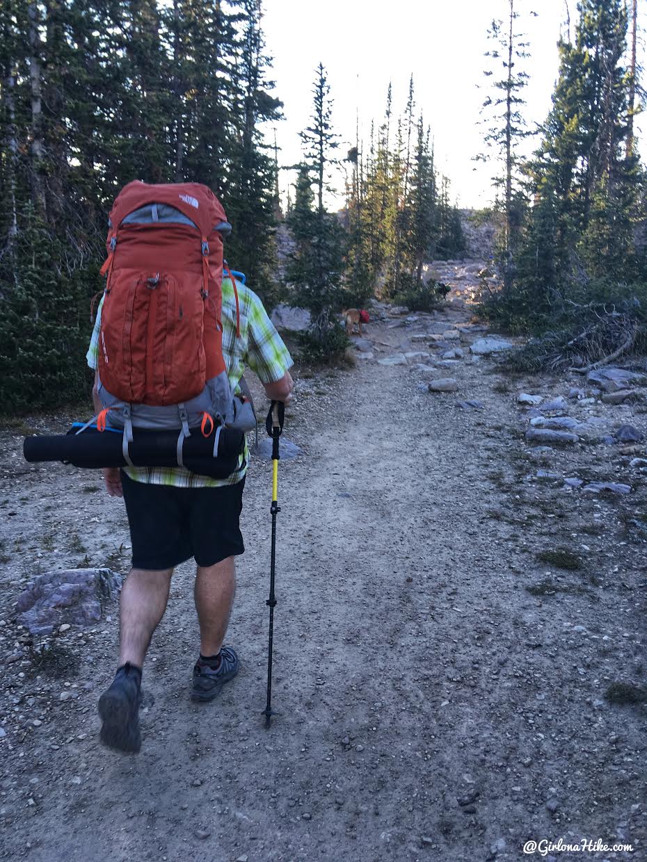
The first mile is really easy, as you follow the trail to Ruth Lake.
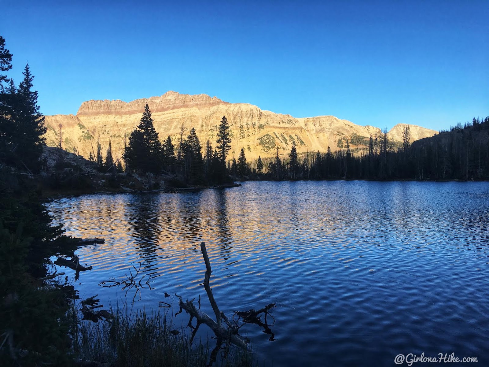
Ruth Lake, looking back to Hayden Peak.
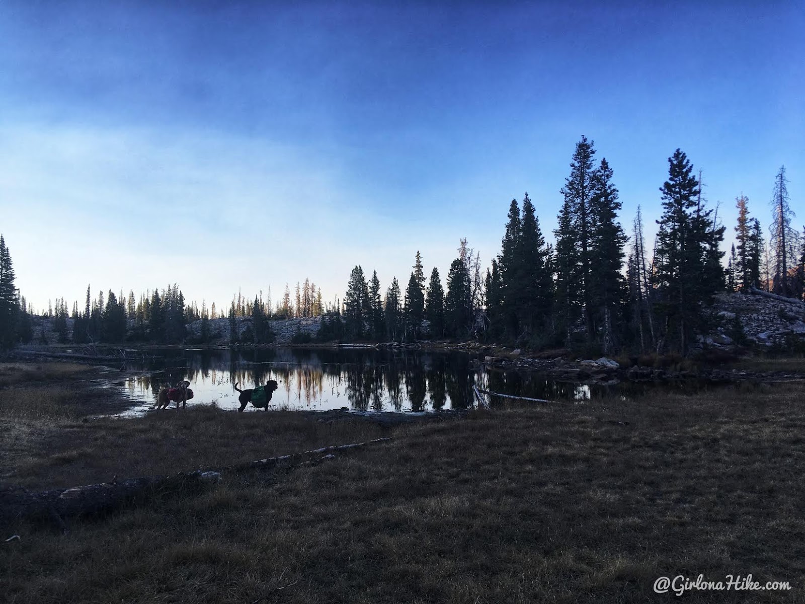
Past Ruth Lake, you will now be hiking off trail. We passed a few unnamed ponds.
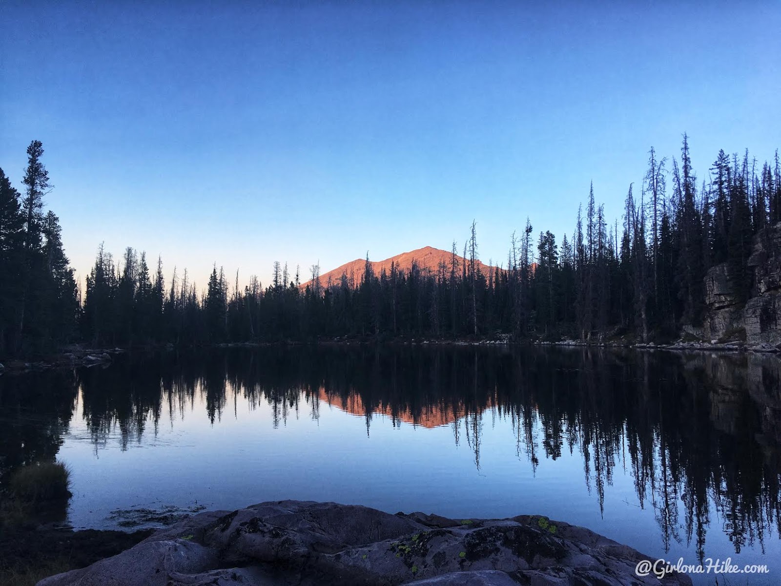
Jewel Lake, a popular spot for boy scouts and climbers, with a nice view of A-1 Peak.
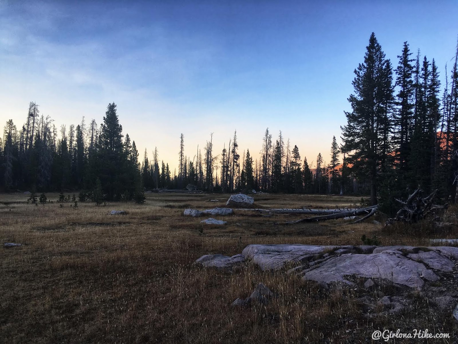
We also hiked through a few really nice, open meadows. The light was fading so fast!
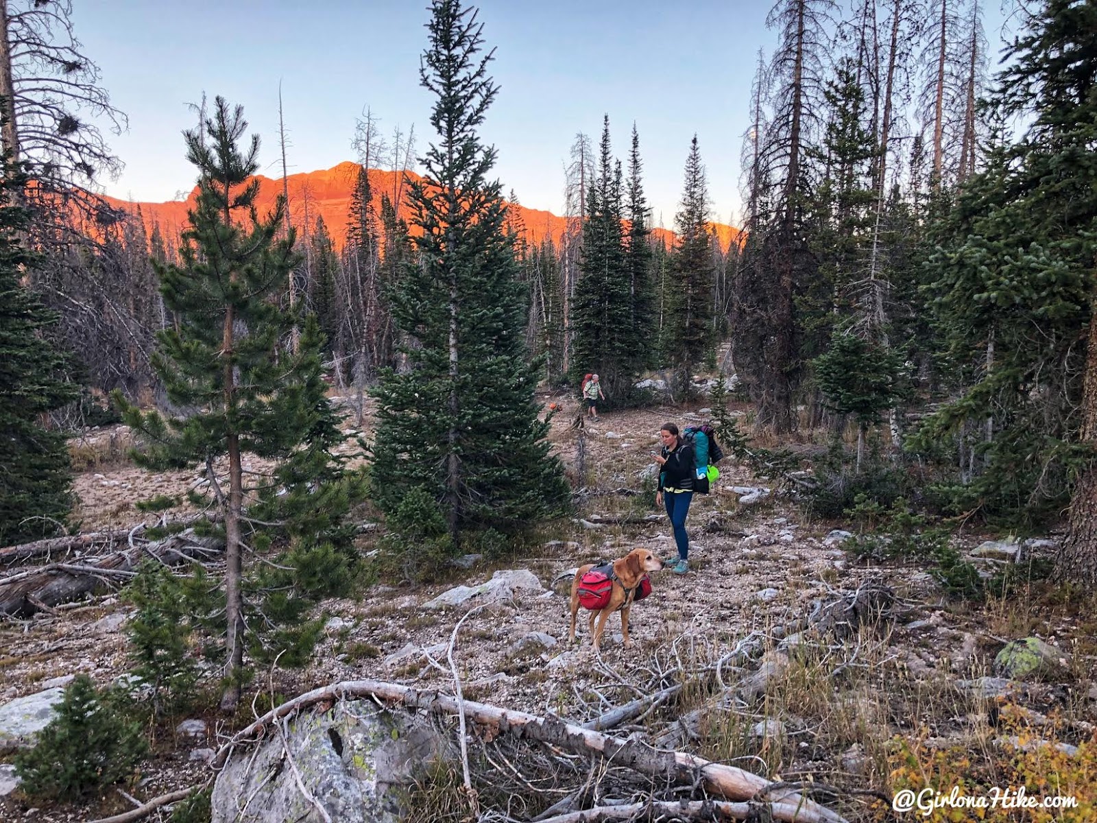
I literally kept looking at my Gaia GPS track to make sure we were heading the correct way. With no trail, it’s easy to get lost. However, as long as you aim for the ridge to the West you’ll make it. I highly recommend you have a live tracker or GPS to reach Teal Lake. I couldn’t get any photos after this because the sun had already gone down. We had to set up camp in the dark. But we did make a really small fire since it was only 8pm!
Day 2
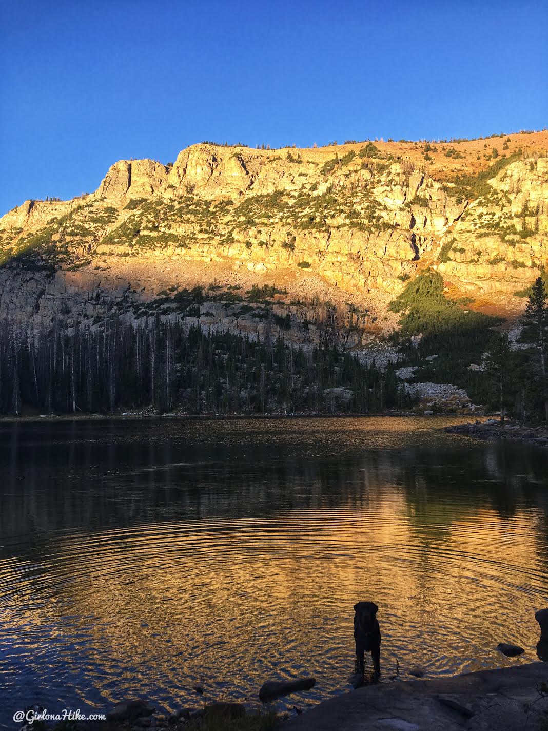
Teal Lake!
We figured that since there was no trail to this lake, that it would be empty. In fact, there were three other campsites already there! Darn, we were hoping to have it to ourselves.
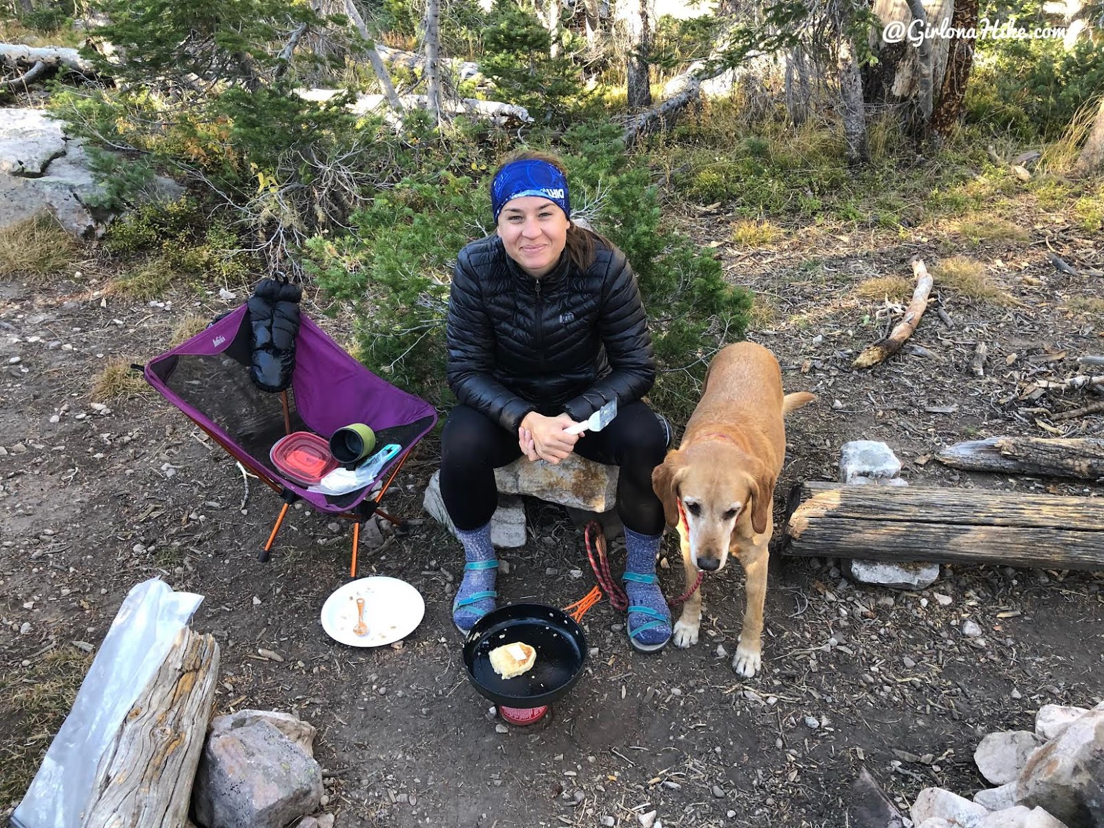
You guys know from previous posts that I actually like to cook while backpacking. This weekend I decided to make Kodiak Cakes! They now sell “On the Go” cups which are perfect for camping and backpacking.
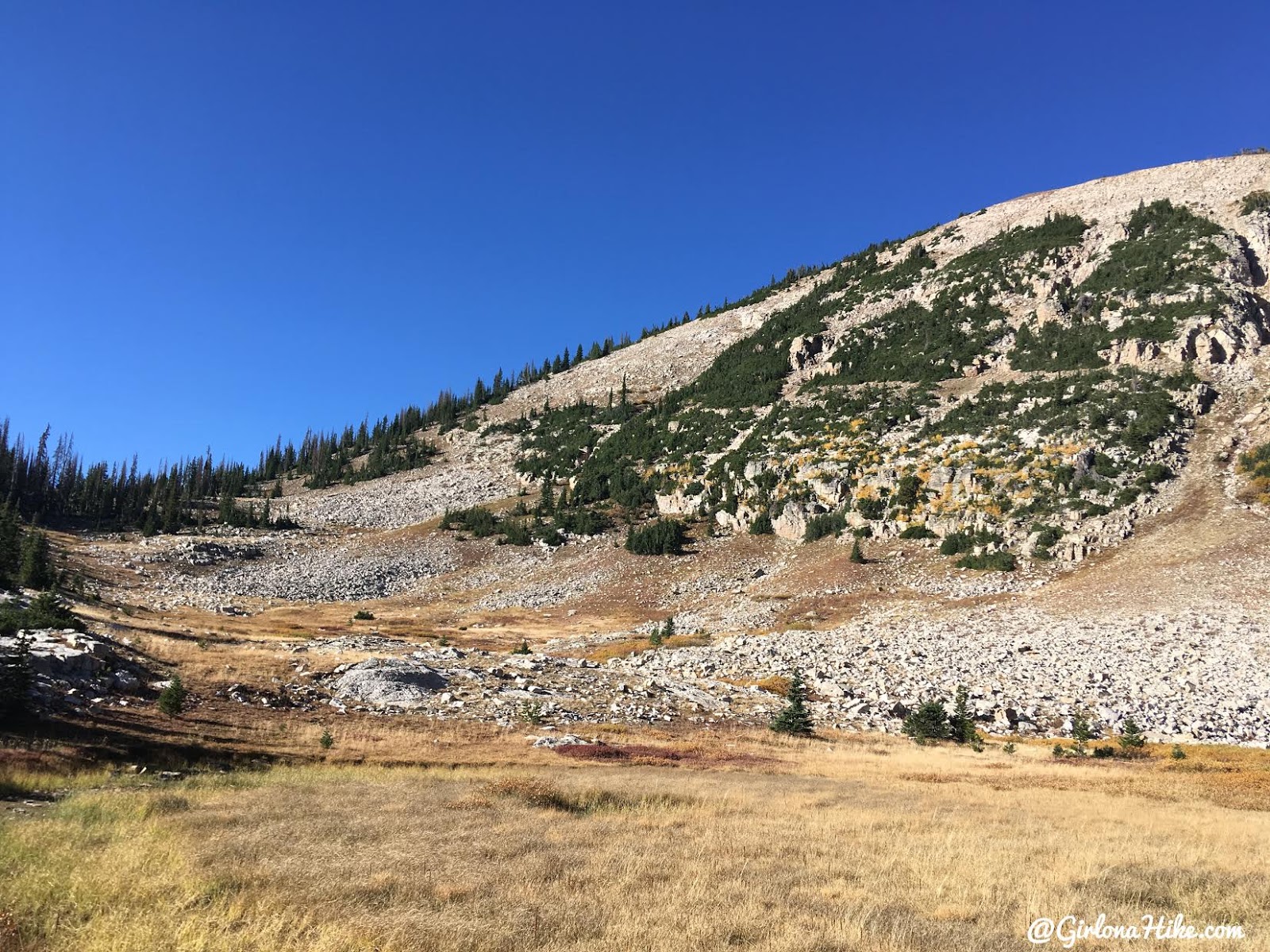
We decided to hike to Mt. Marsell during the day. There was no way we could pass up a peak only a mile away! We just aimed for the saddle to the south of Teal Lake.
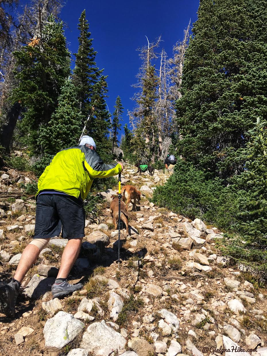
Once you reach the saddle, turn right and head steeply up the hill.
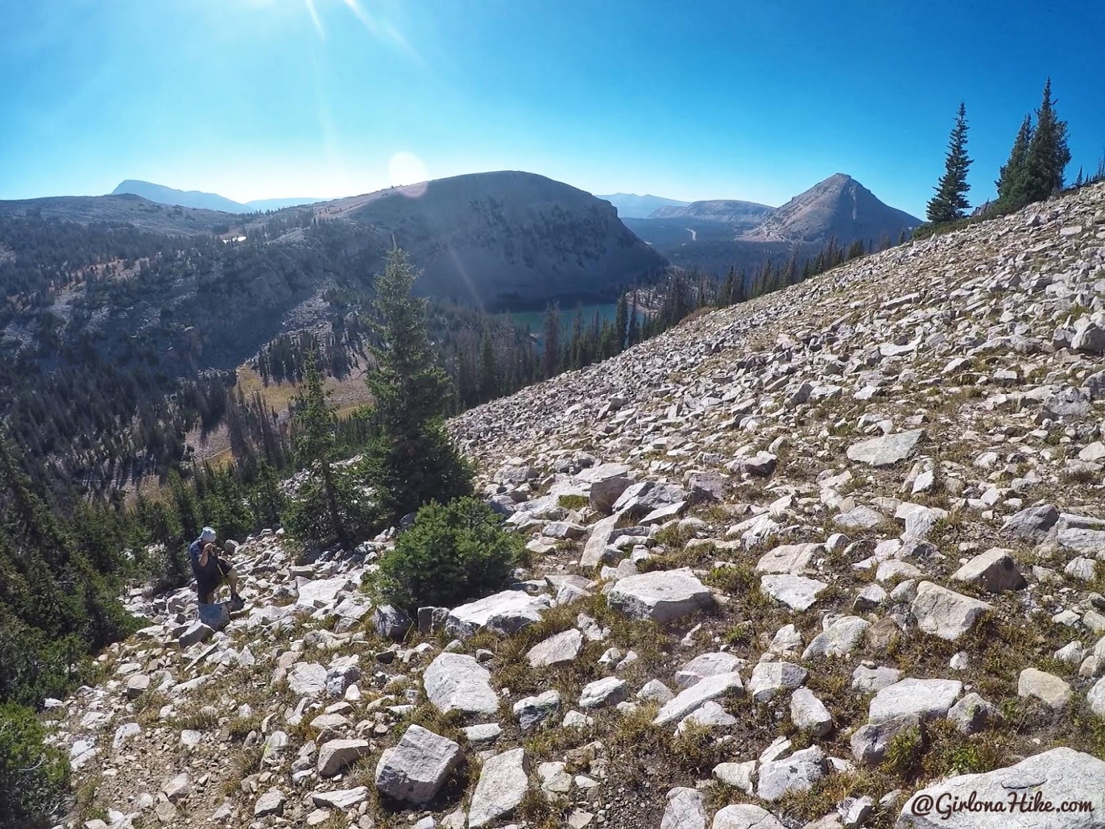
Once again, there’s no trail. Just pick a route that looks good, and aim for the summit. The lake you see in the shade is Kamas Lake, along the Lofty Lake Loop Trail.
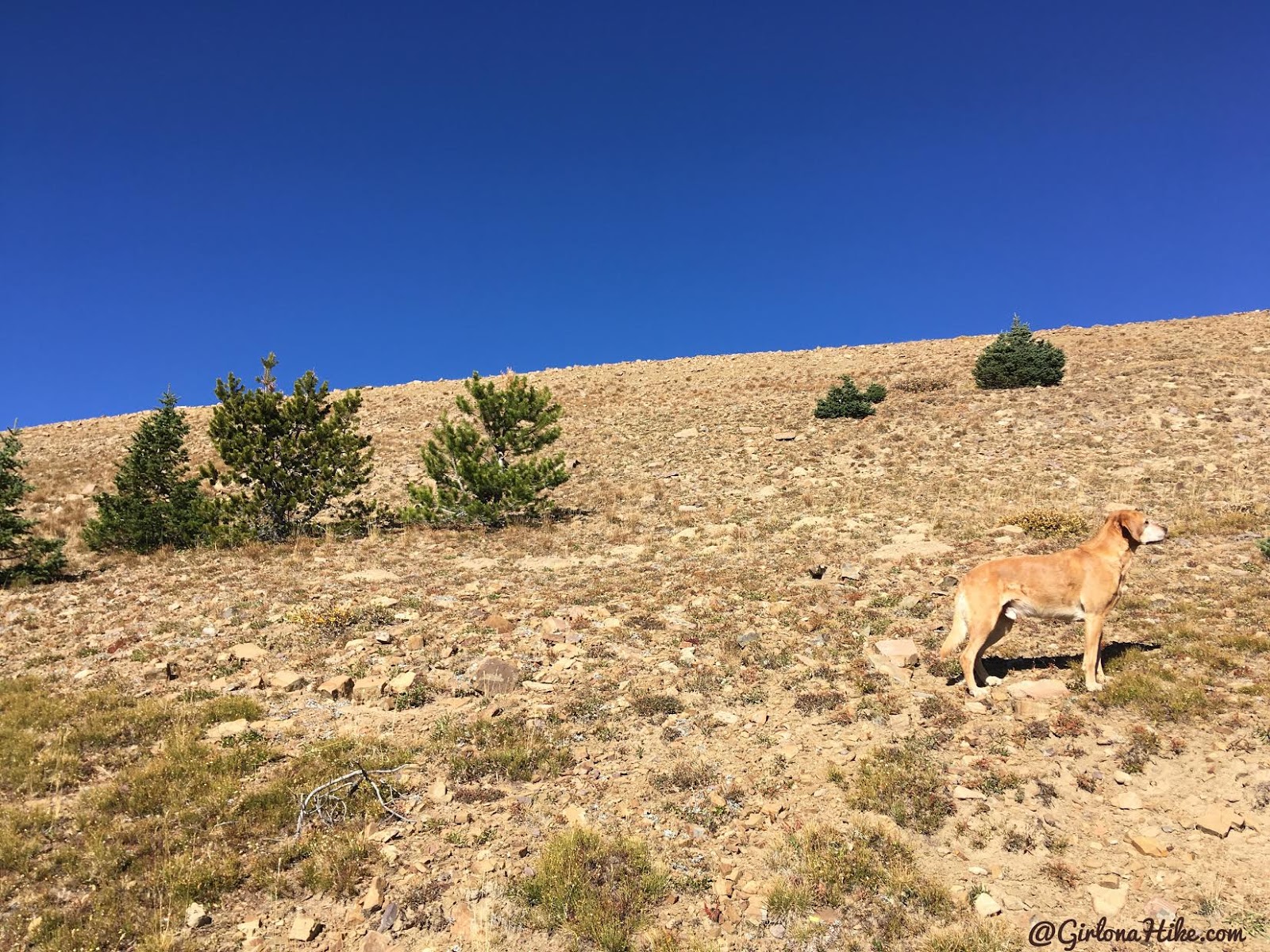
As you get closer the ridge, the boulders fade and you’re not hiking through high alpine terrain. Still steep!
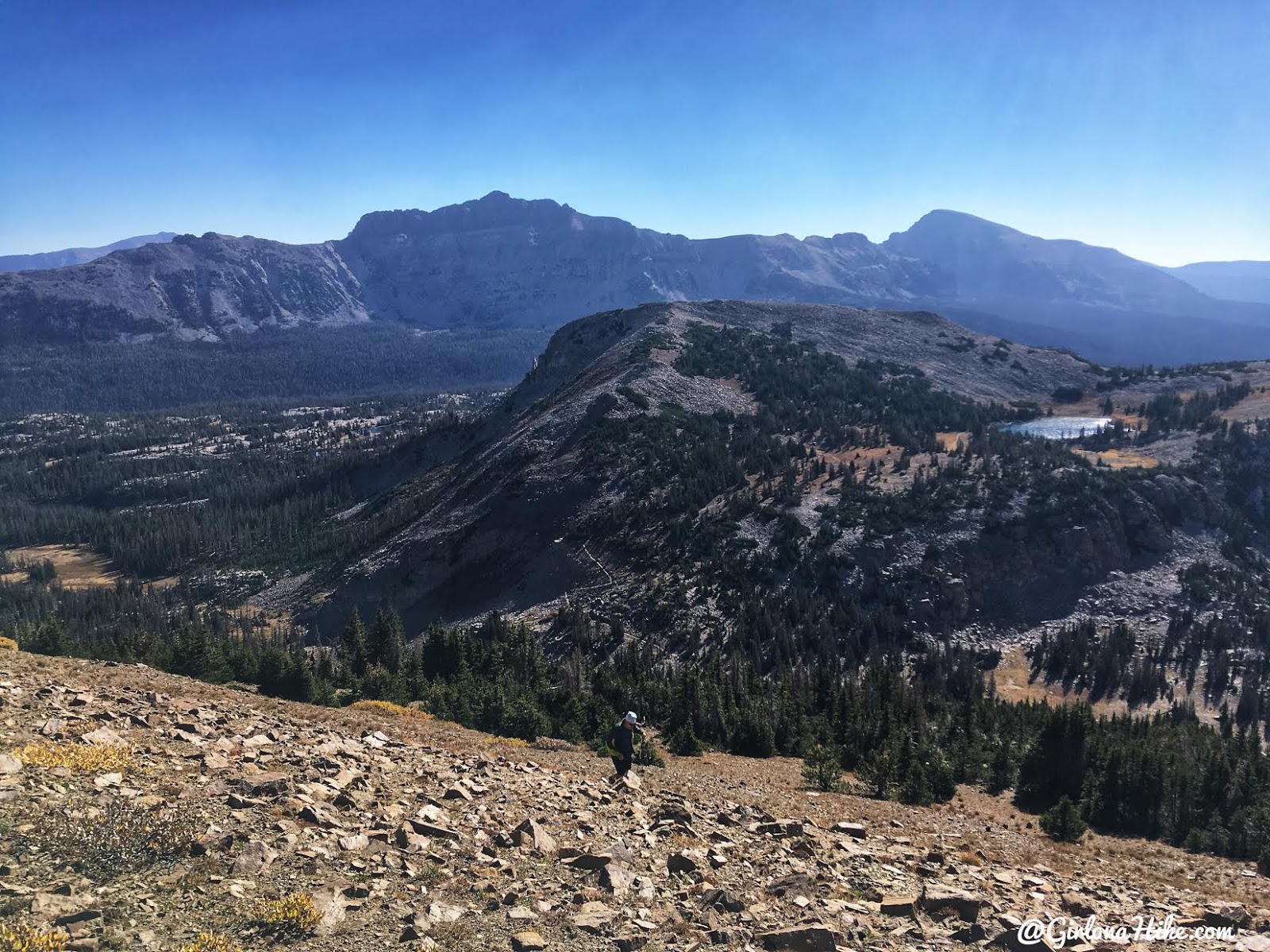
Dan makes his way up – more great views of the area and Hayden Peak.
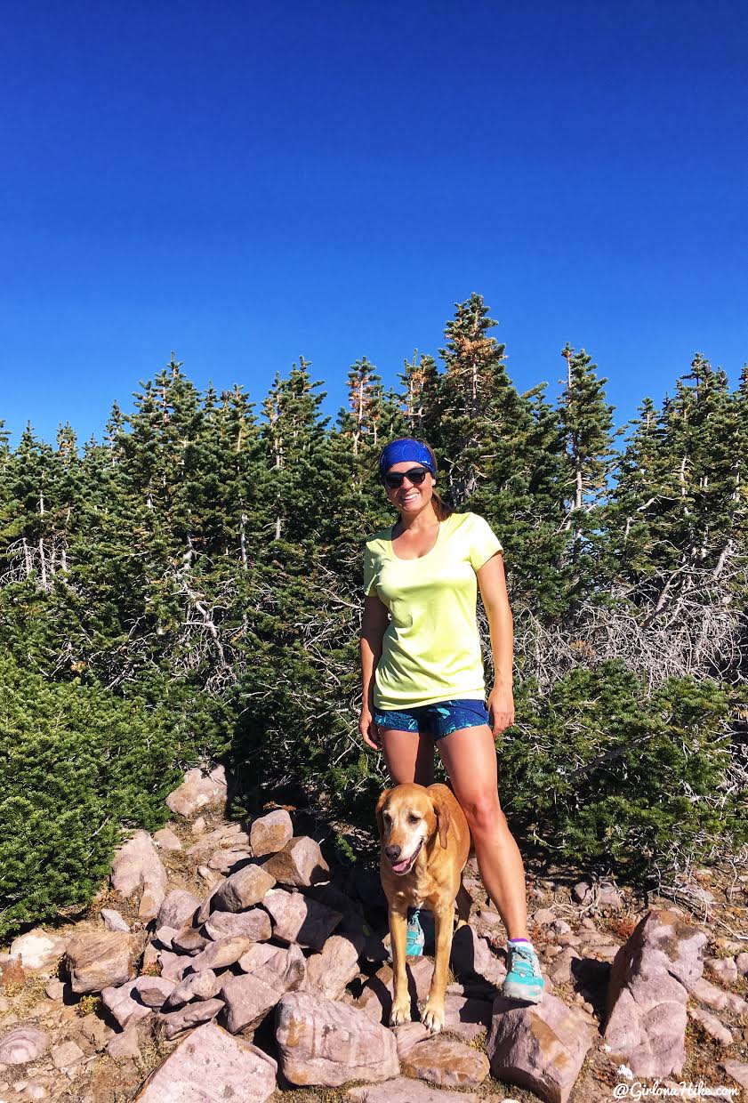
We made it to the summit in exactly 1 hour from Teal Lake. Not bad! The actual summit doesn’t look very pretty – it’s the views in the other direction that make it worthwhile.
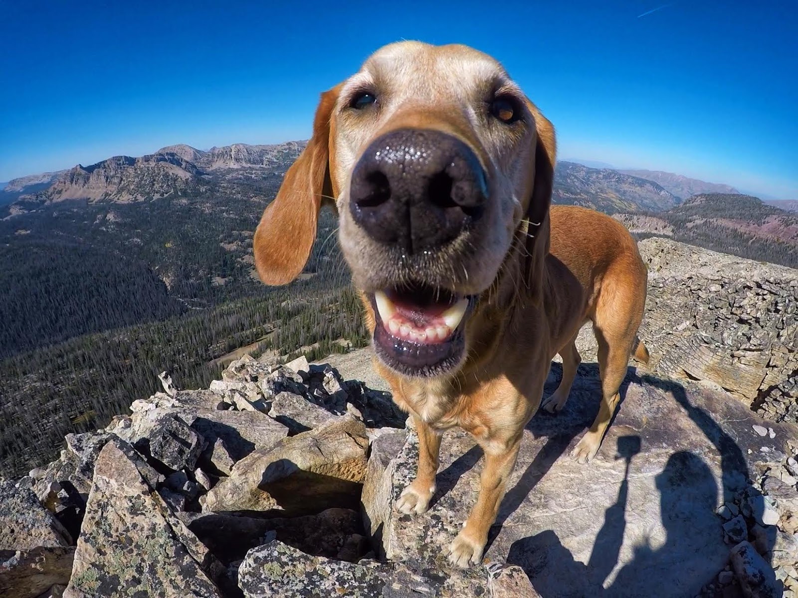
My little mountain pup! He’s so happy here!
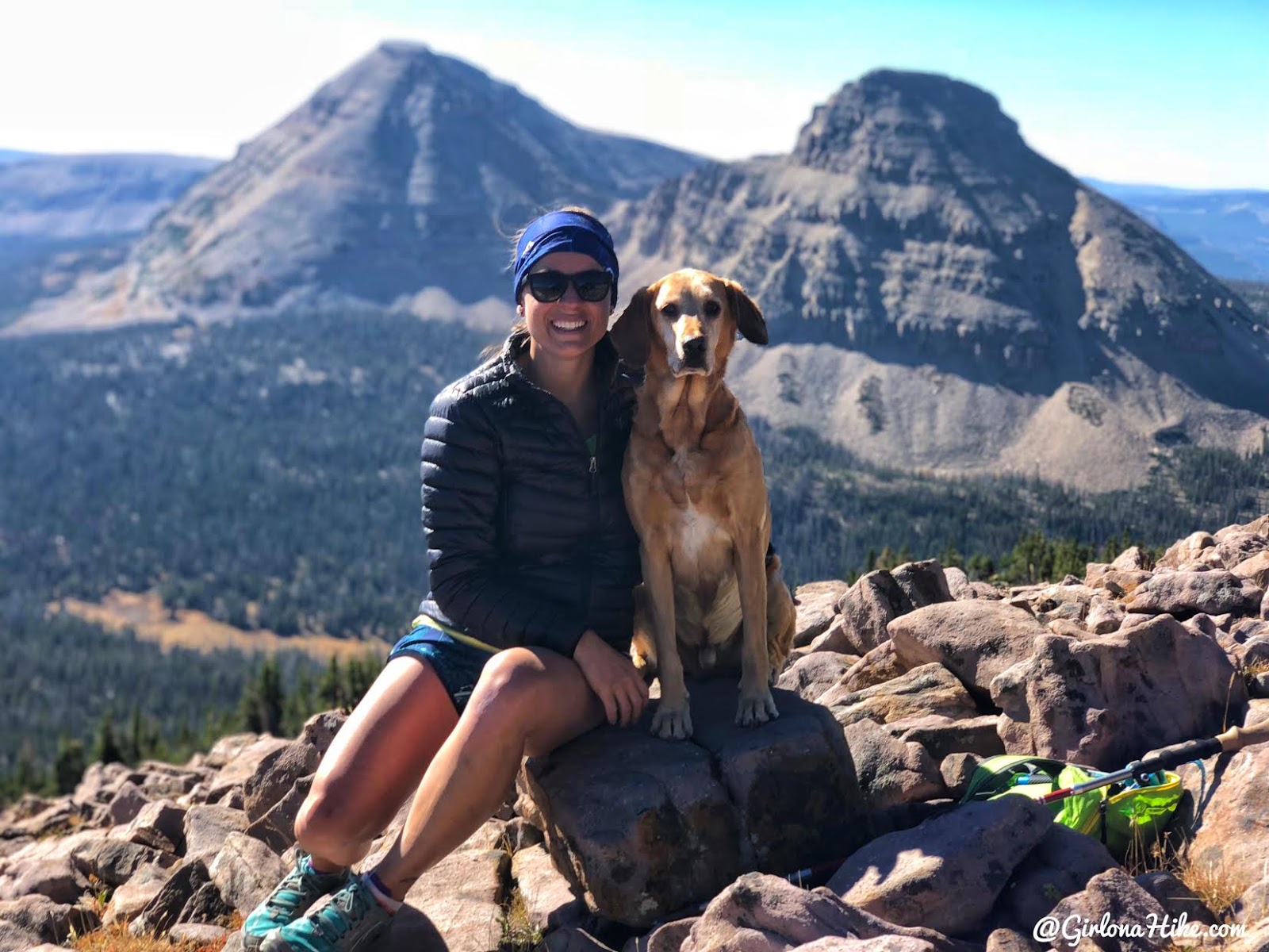
The best view – Bald Mountain and Reids Peak are behind us.
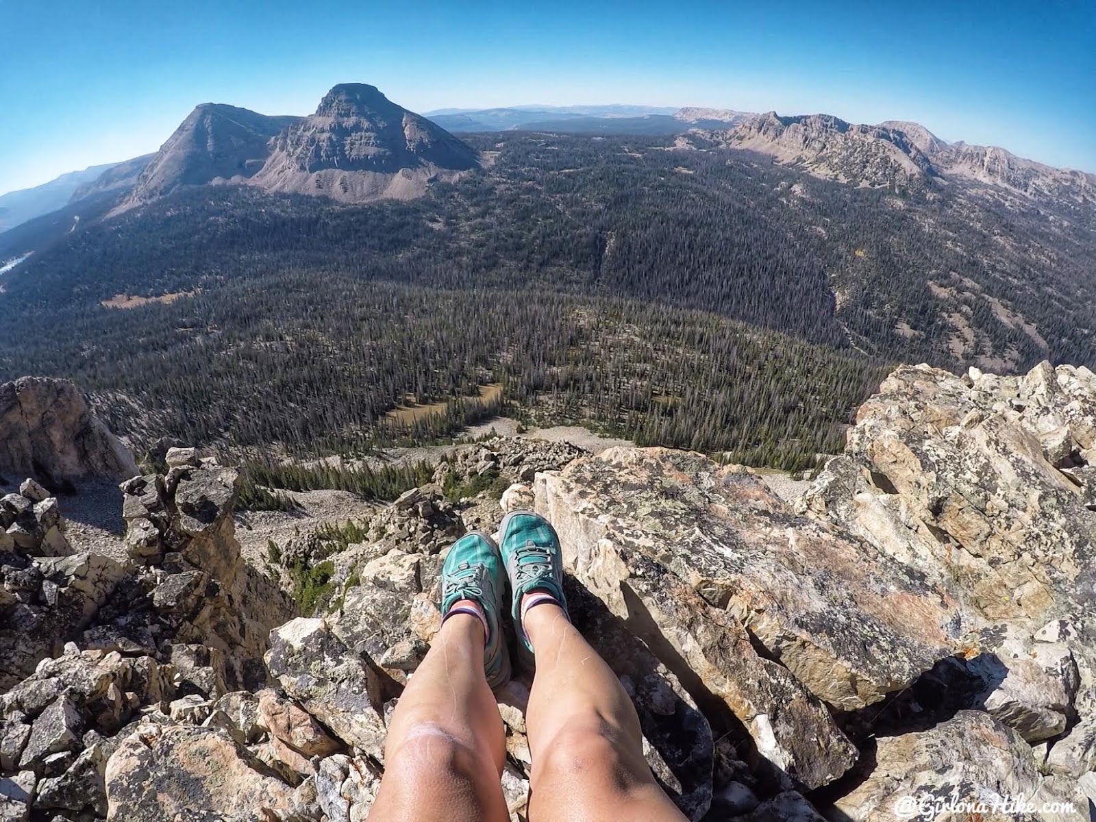
Kickin’ back to enjoy the views.
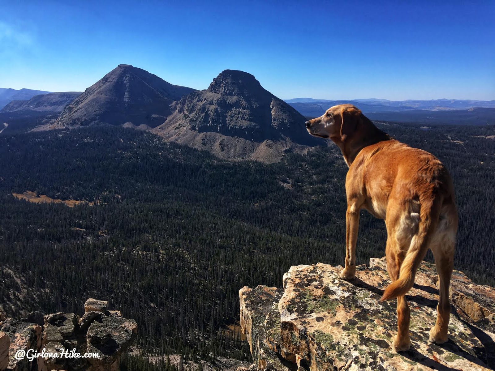
We loved this little peak!
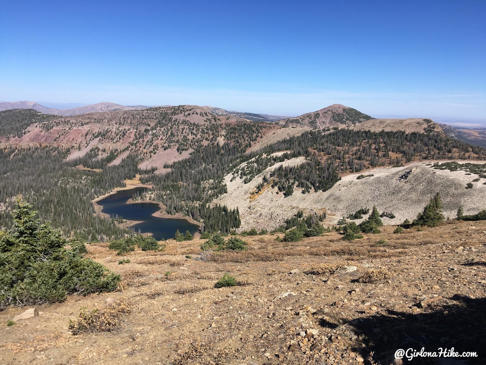
You can also see Cuberant Lake if you walk over to the other side of the peak to look down on it. The water levels were so low!
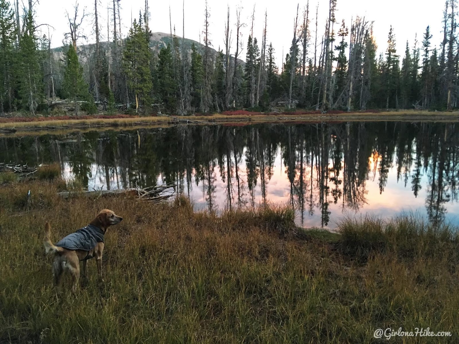
Back at camp, enjoying pink skies.
Charlie sports his Ruffwear Quinzee Coat. Read How to Keep Your Dog Warm while Camping!
Day 3
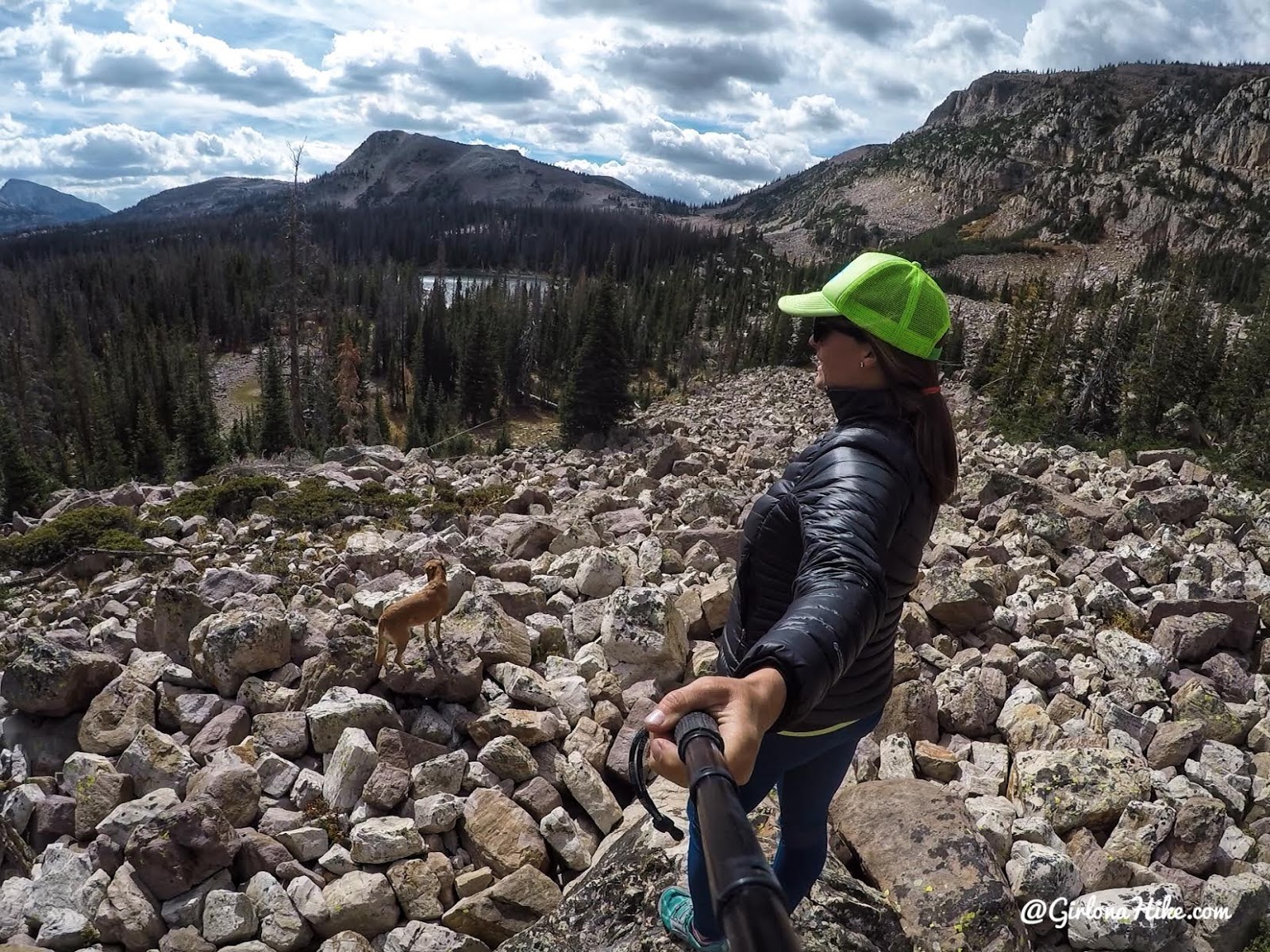
We took a short hike in the area, once again, hiking off trail to explore the basin. The wind had really picked up, and it stayed much cooler.
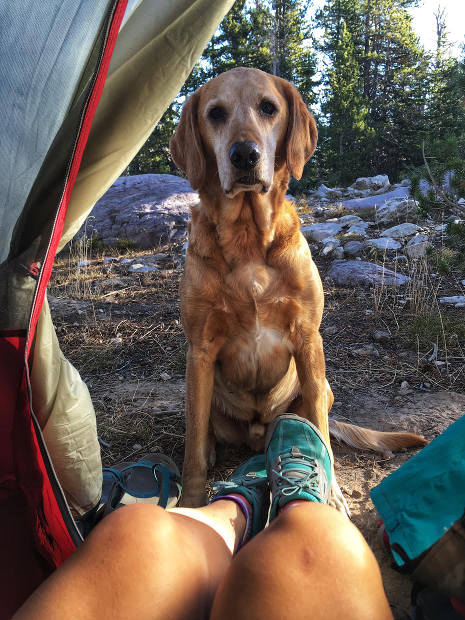
“Aww mom, is it really time to go home??”
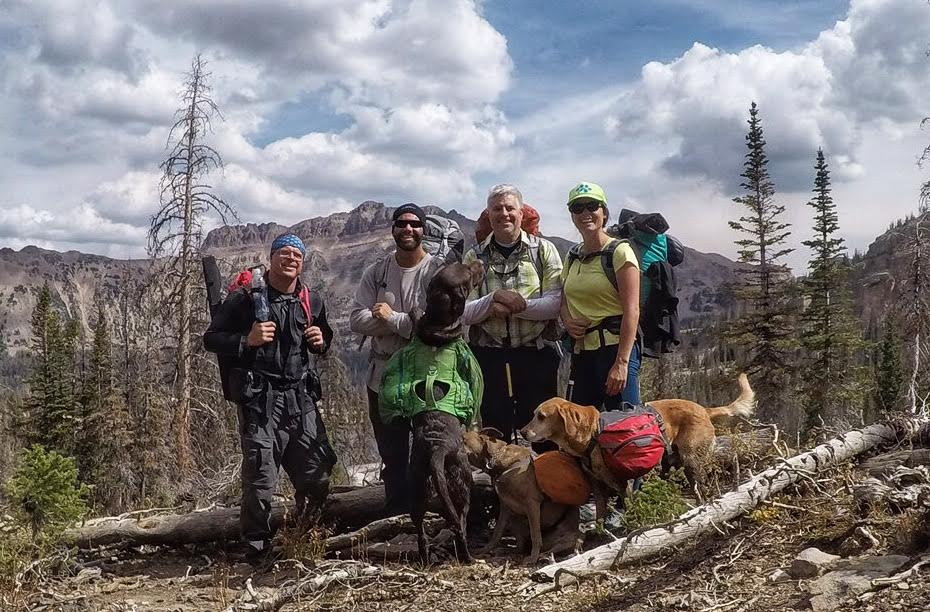
Had a blast with these guys.
See you next year, Uintas!
Check out my friends’ YouTube video of this trip!
Trail Map
“Trail map” – keep in mind there is no actual trail (except for the first mile for Ruth Lake).
My track via Gaia GPS – the best tracking app! Get your app here for a discount.
Nearby Hike
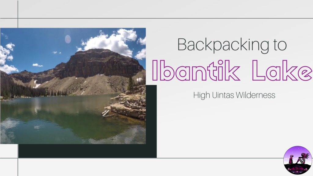
Backpacking to Ibantik Lake, Uintas

Save me on Pinterest!
