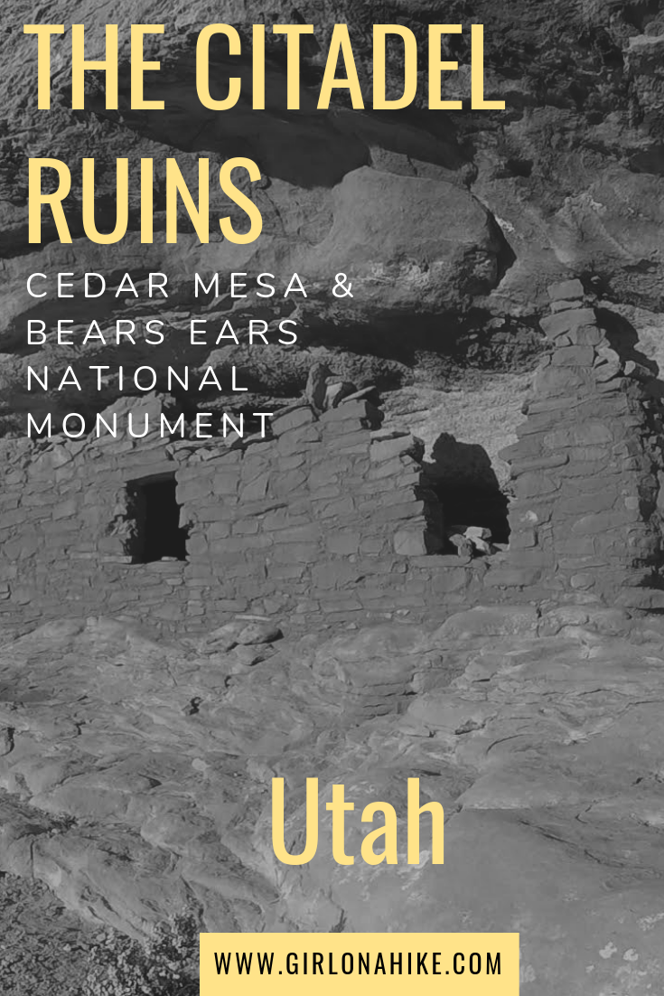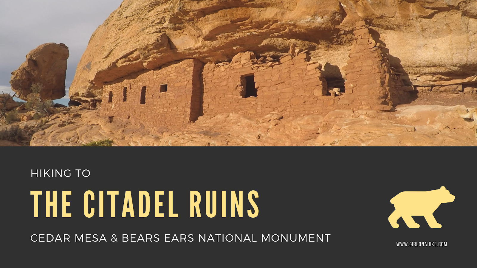
 The Citadel Ruins sit high above Road Canyon in Cedar Mesa & Bears Ears National Monument.
About
This easy 2 mile trail leads you to one of the most impressive and well-preserved ruins in the area, that both dogs and kids can hike to as well. A citadel is a fortress that commands a city and used in defense during an attack. It leaves you to wonder, what could the Puebloan’s have possibly been trying to defend themselves from? Other Native Americans? These ruins are close to 800 years old, and we’ll never really know the answer to this, nor the reason the inhabitants disappeared.
Directions
From the Kane Gulch Ranger Station on HWY 261, drive 9.3 miles south. Turn left at the brown, signed Cigarette Springs Road. Reset your odometer. Drive 6 miles, then turn left at a brown post with Wilderness Area marked on it. Drive 1 more mile to the very end of the road that ends in a big loop with plenty of parking. The last 3 miles are very rough, and small cars will not be able to make it. 4WD is recommended. This road will be impassable after storms, as it is all sand and slick rock. Call the ranger station to check road conditions before driving here.
Here is a driving map.
Trail Info
Distance: 4 miles RT
Elevation gain: 265 ft descent
Time: 1-3 hours
Dog friendly? Yes, technically on leash but nobody does
Kid friendly? Yes
Fees/Permits? $2 per person per day fee. No permit needed.
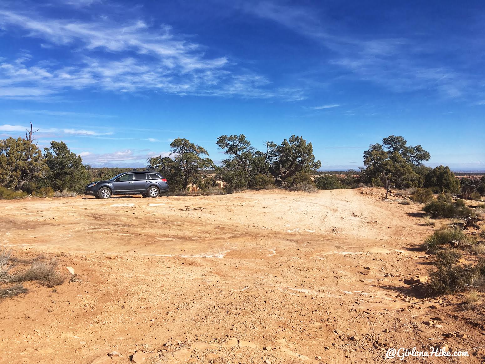
At the end of the road, you’ll see the brown hiking sign off to the right. This is the TH for the Citadel Ruins.
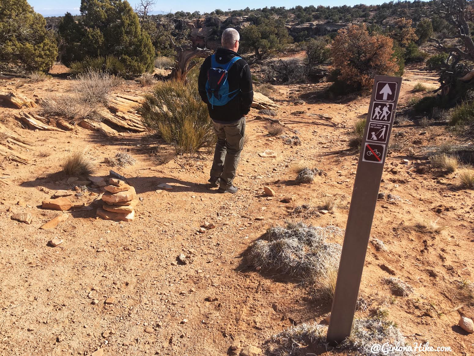
The hike begins.
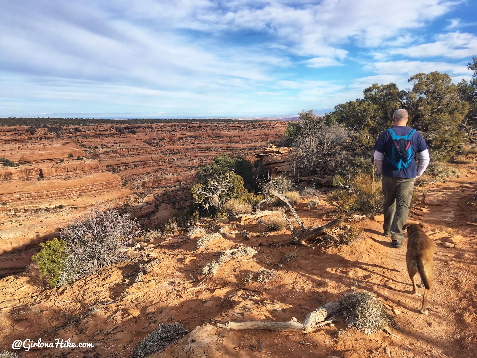
The first mile is very flat, and you can easily look down into Road Canyon to the North.
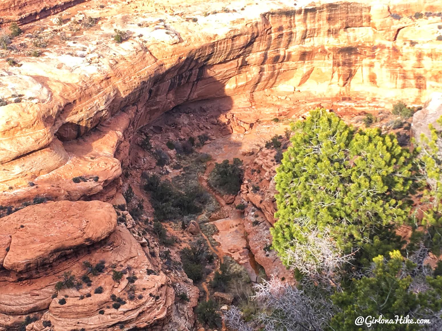
About 1/2 mile into the hike, look down into the canyon when you see the alcove with an obvious trail leading to it. This is Seven Kivas, which I highly recommend hiking to before or after hiking to the Citadel. You’ll be able to see it better from this trail if you have binoculars. If you decide to hike both in one day like my friend and I did, it’s only 7 miles total.
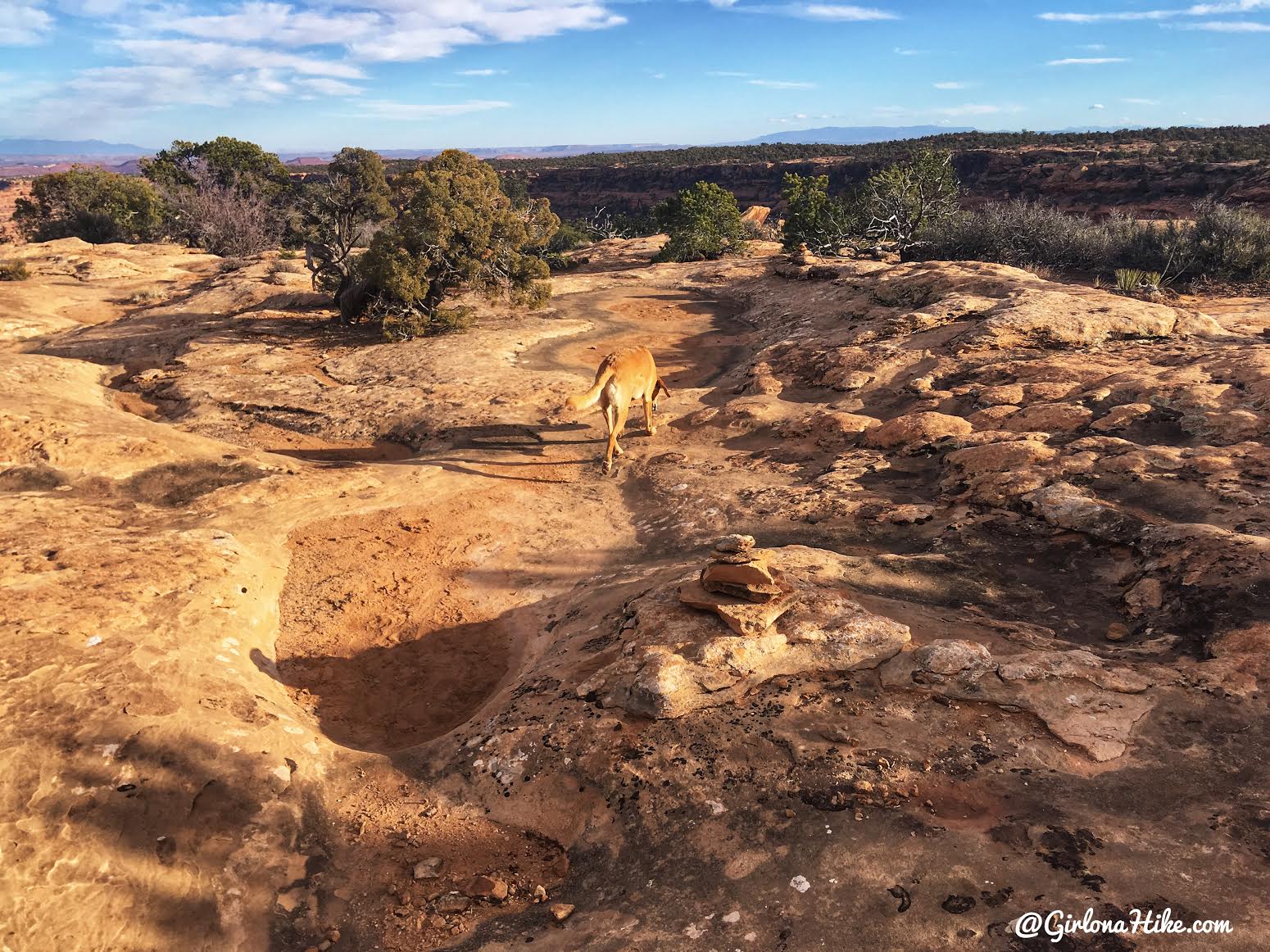
Eventually you’ll hike across slick rock, following cairns.
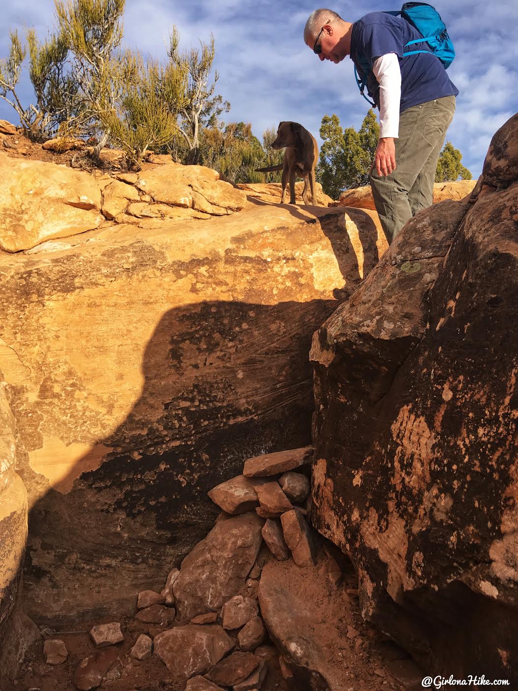
The first big step down. Mama-dog needed a little help but Charlie was able to jump down on his own.
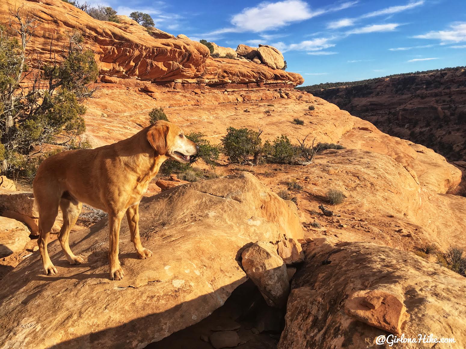
Continue following cairns as you should now be on the south facing wall. You’ll walk along this ledge for a few minutes.
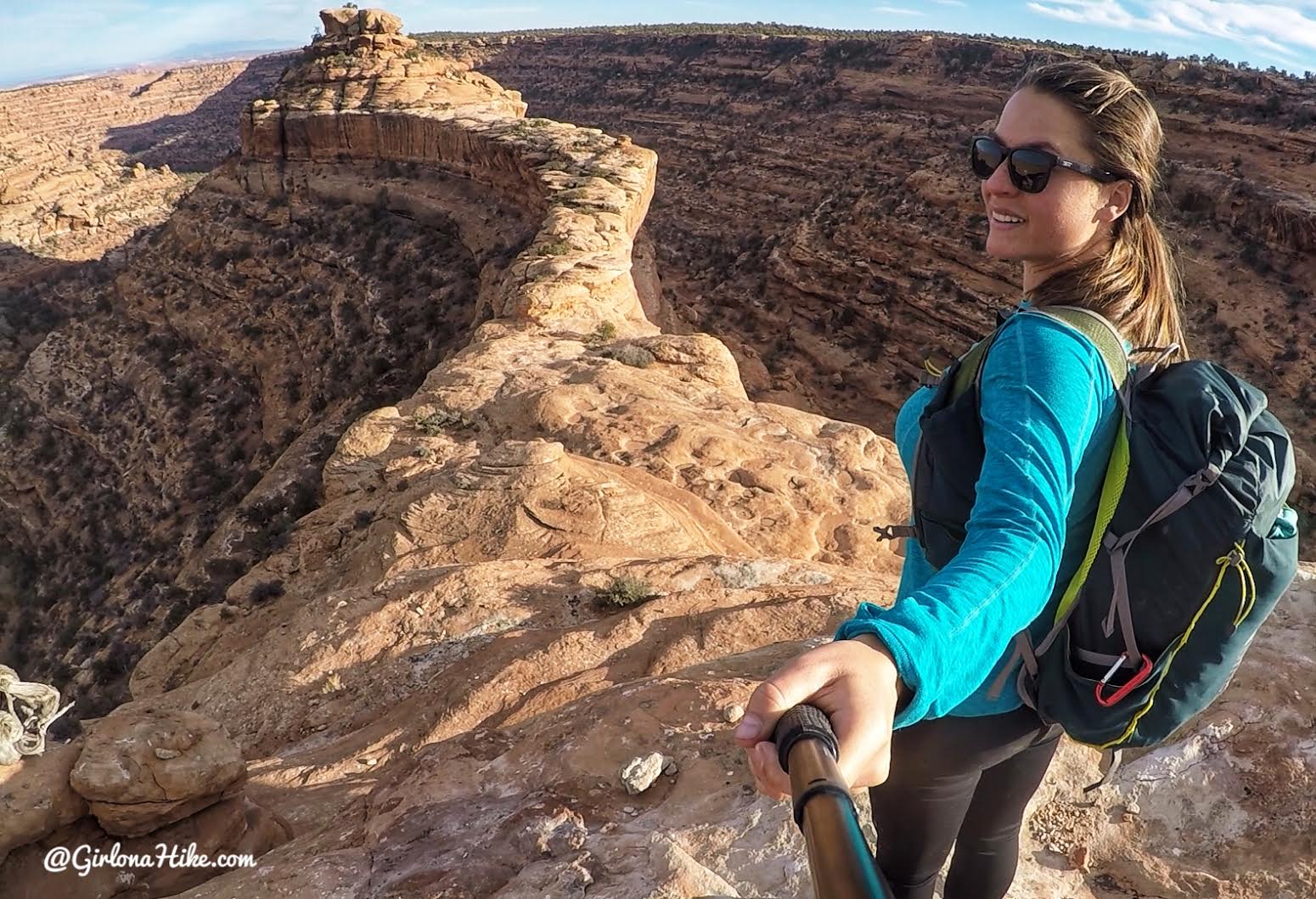
Wow! Ok, this hike just turned pretty amazing with this view!
This offers a great view of course, but to hike down to it you’ll need to keep hiking down the south facing slick rock. Go back to the cairns.
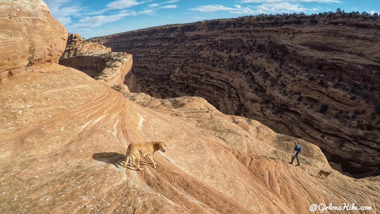
Here we go, dropping down, as we make our way to the peninsula.
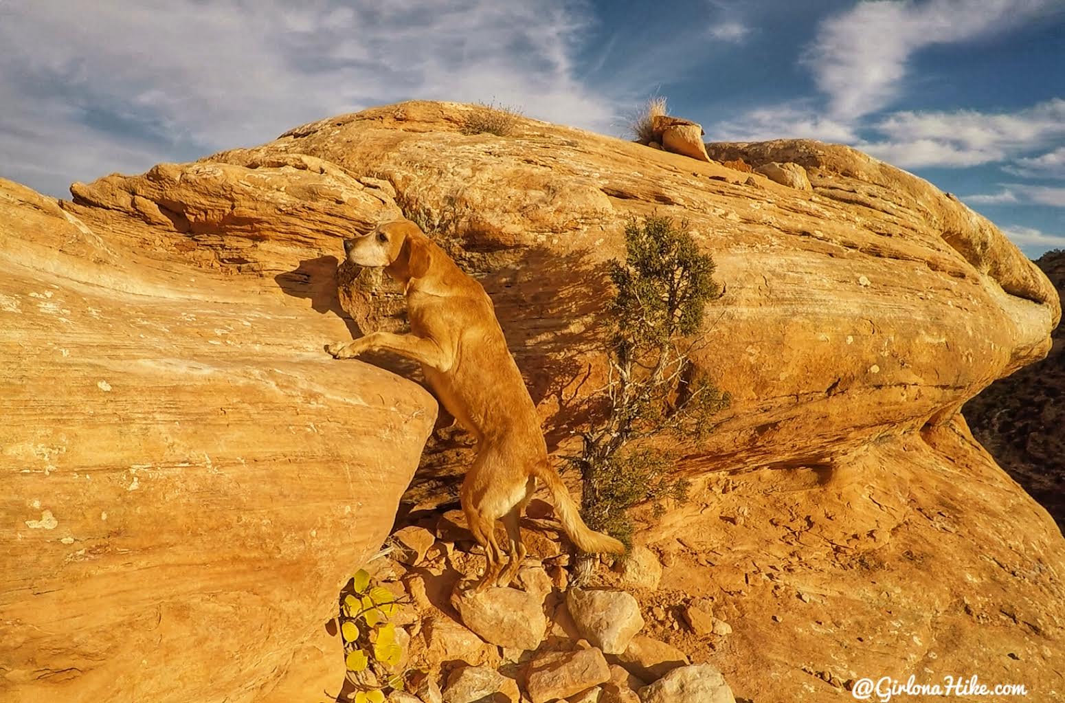
Most of the time Charlie can jump up himself, but his legs were a little too short here. A boost from his mama was just what he needed.
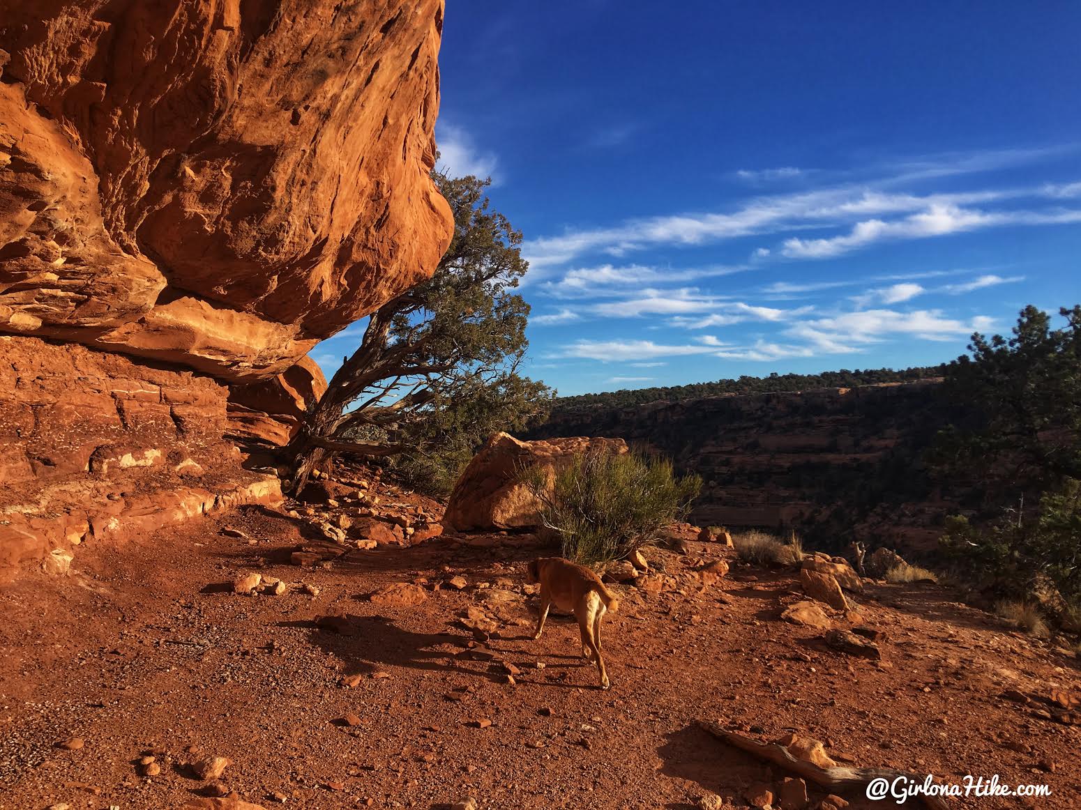
Continue walking along the peninsula, and you’ll make your way up a few short ledges, still on the south facing wall.
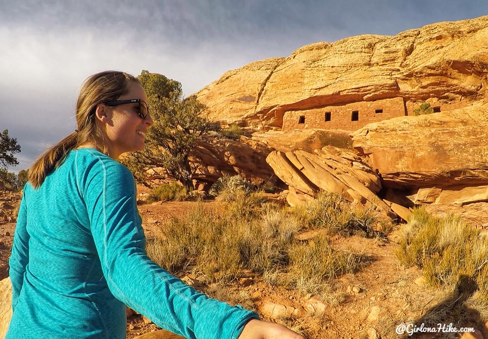
And there it it! The Citadel high up and squeezed into a ledge. Climb those rocks to get up to them.
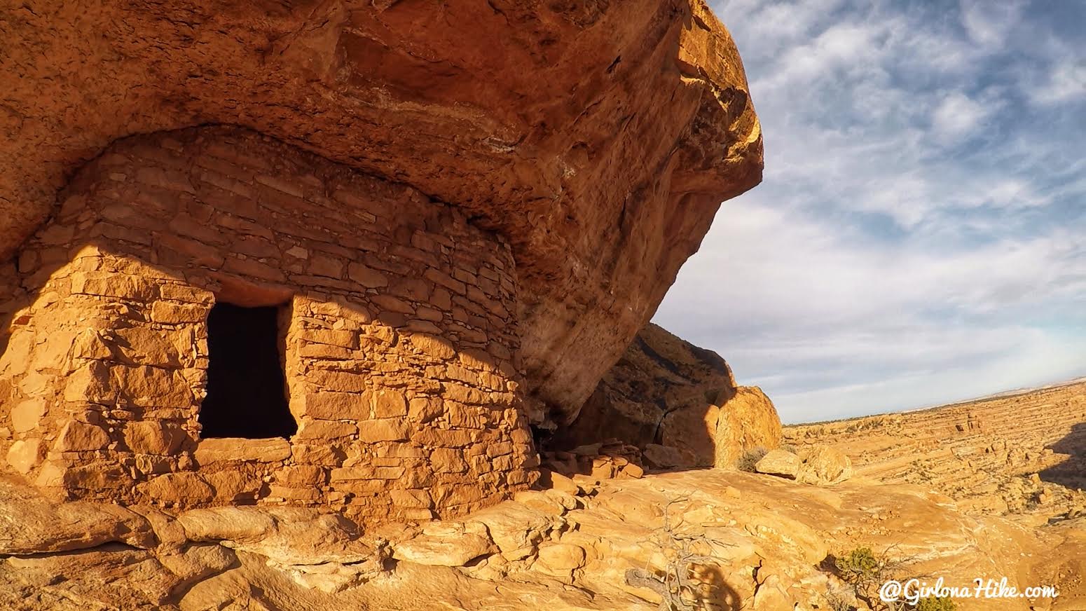
Wow, this place is so cool!
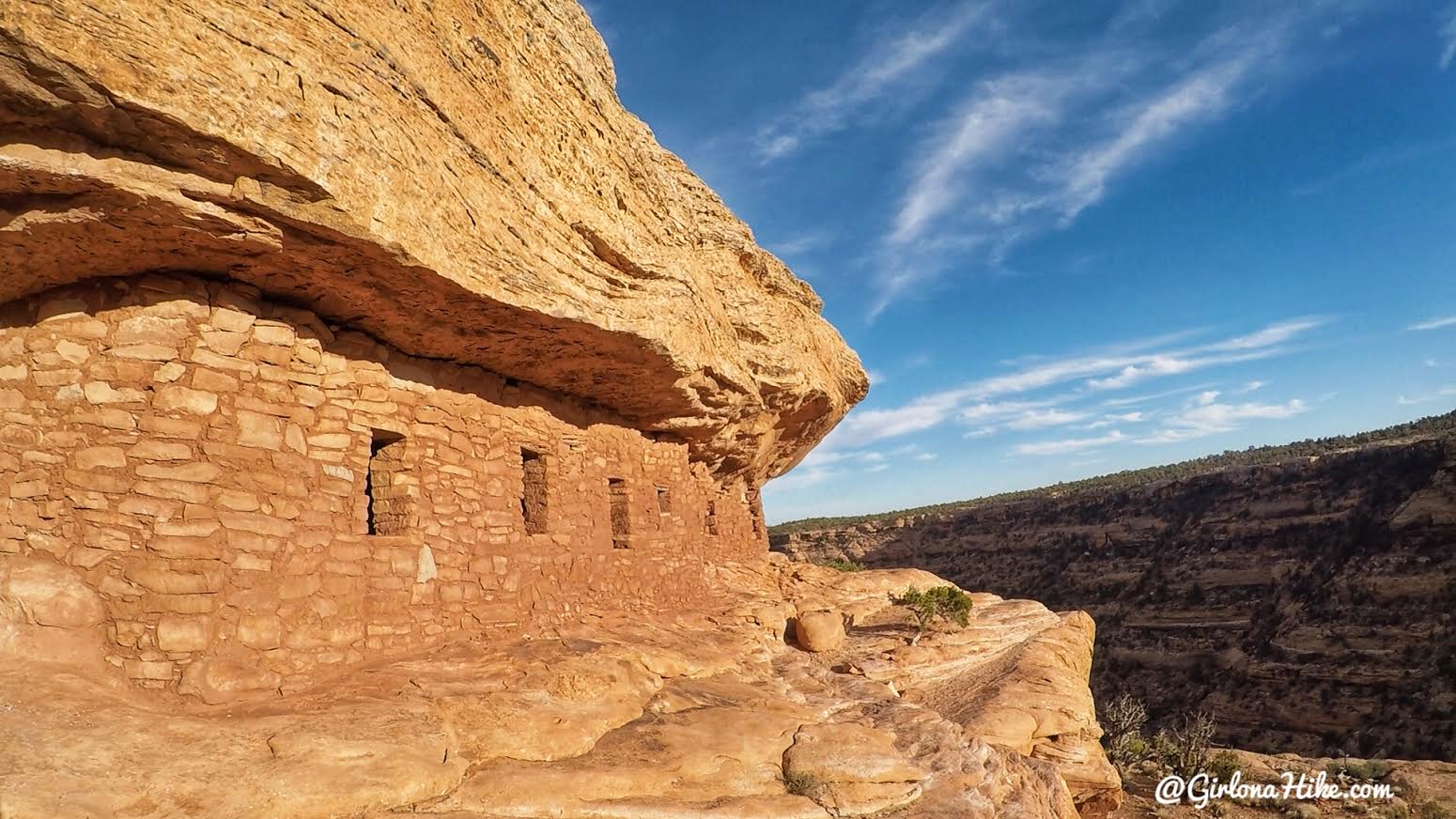
What a view they had.
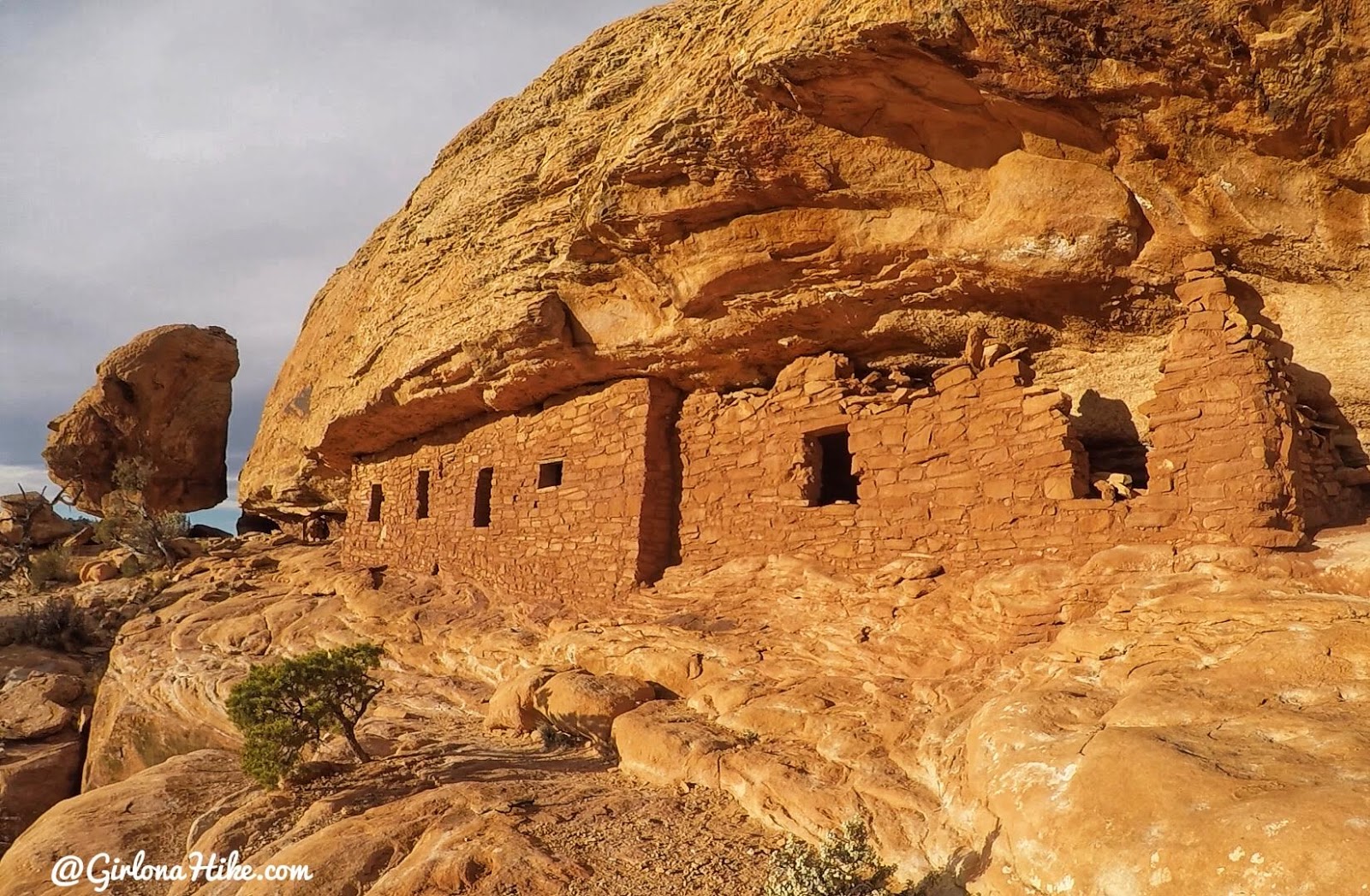
The Citadel in late-evening light. Just amazing, I really loved this hike and ruin site.
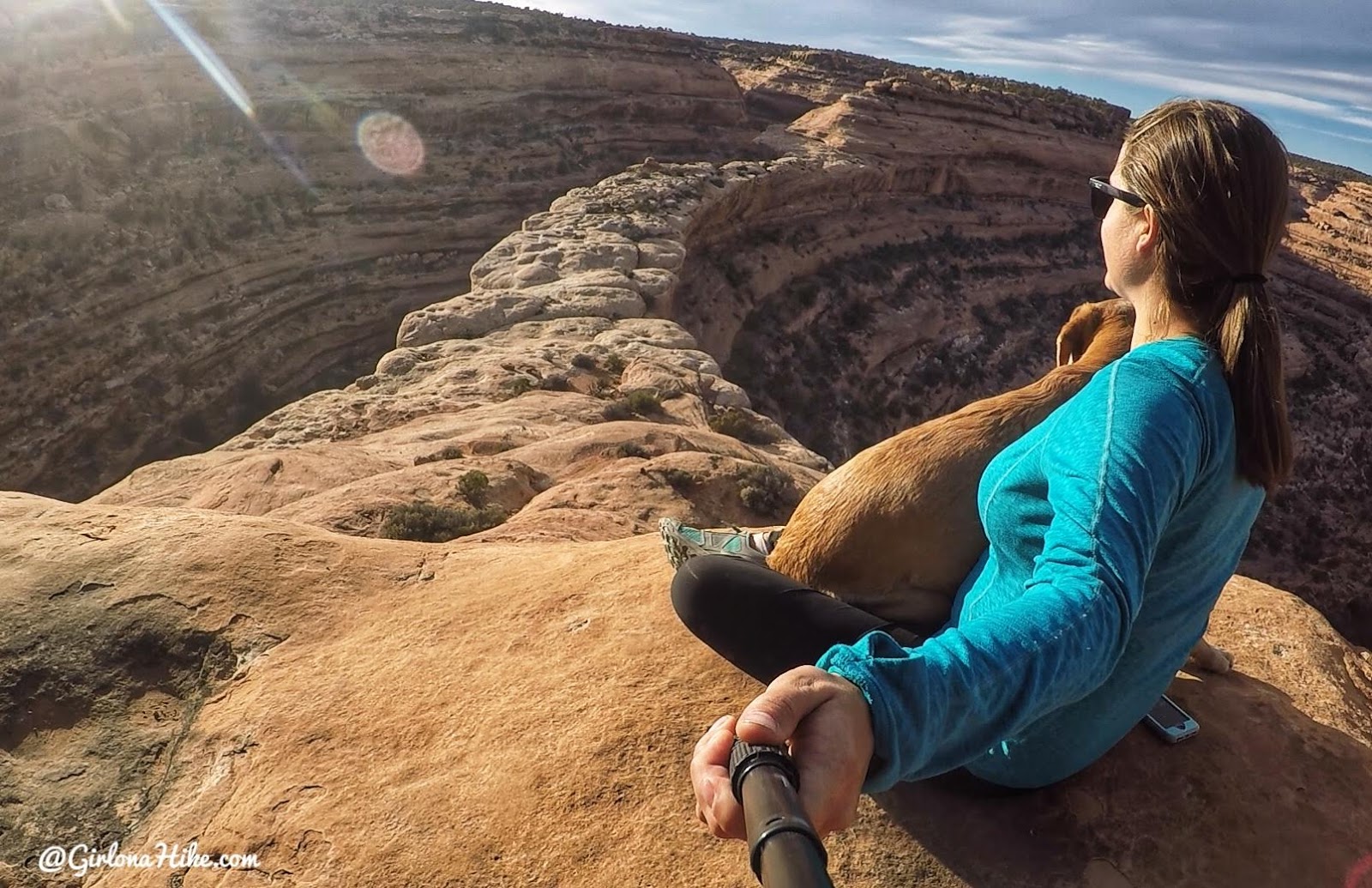
The best part was because we started hiking kind of late in the day, after Seven Kivas, everyone else who hiked here that day was hiking back to their cars. We must’ve passed 30 people. When we got here we had it all to ourselves!
Trail Map
My track via Gaia GPS – the best tracking app! Get your app here for a discount.
Nearby Hike
Hiking to the Seven Kivas Ruin, Cedar Mesa

Save me on Pinterest!
