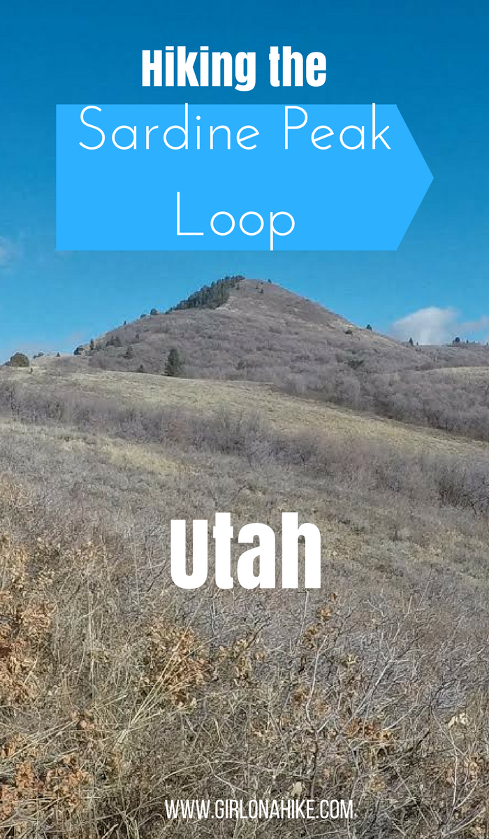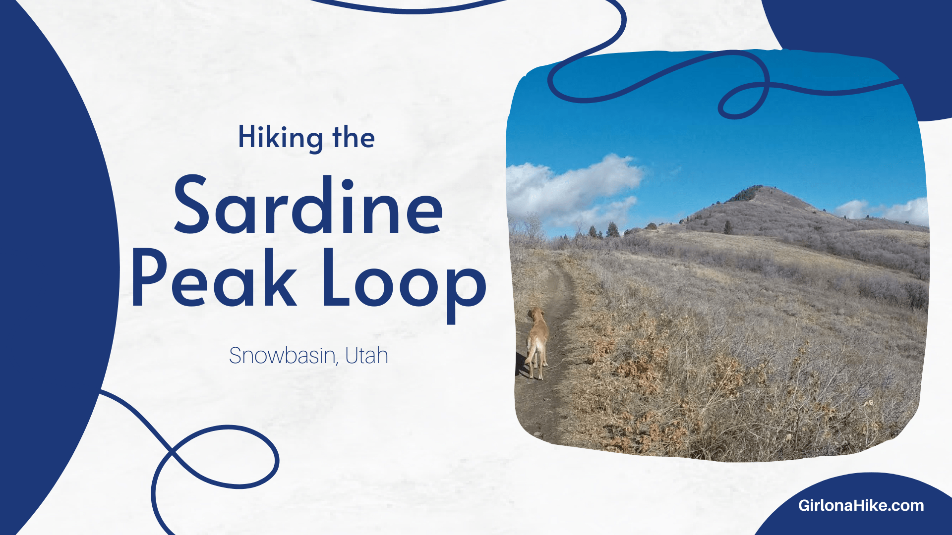

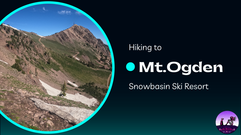
Sardine Peak Loop: Scenic Hike with Views of Ogden Canyon
The Sardine Peak Loop begins at Snowbasin Ski Resort and offers an easy yet rewarding hike, leading to the stunning Ogden Canyon Overlook and surrounding canyon vistas. This 9-mile loop is a great choice for those seeking a relatively gentle hike with incredible views.
About
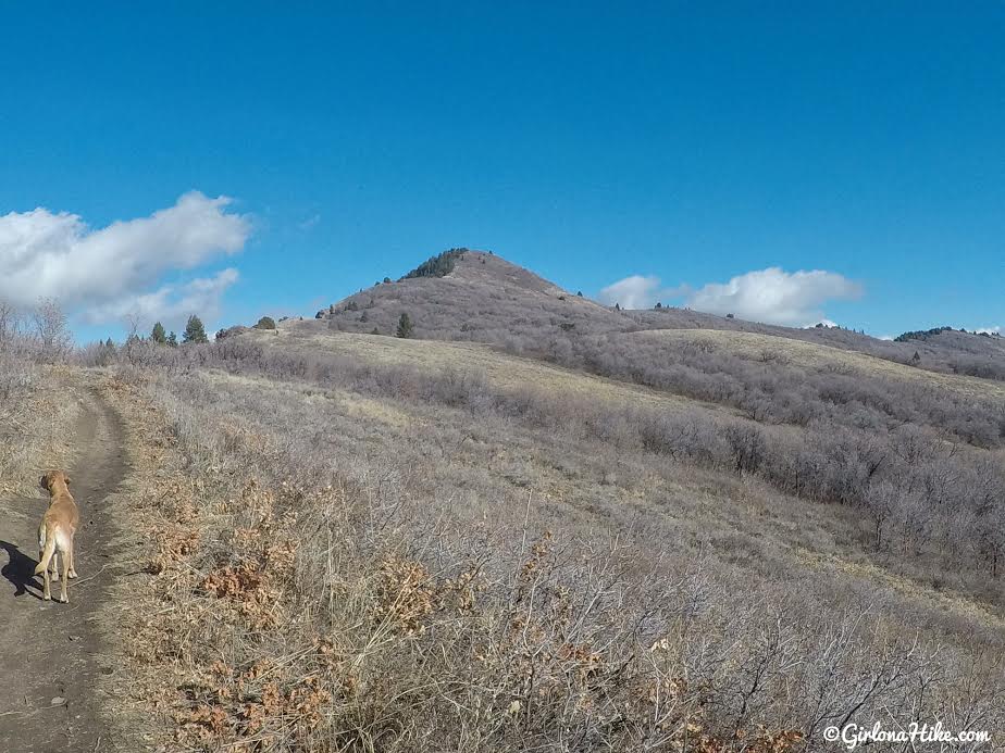
The trail is consistently gradual, making it accessible for most hikers. While the trail doesn’t reach the peak itself, it skirts the base of Sardine Peak, which rises to 7,485 ft. If you’re feeling adventurous, a bushwhack to the summit is possible, but be prepared for a challenge.
This loop is open year-round, though summer months can be hot, with little shade and no water sources for dogs. Winter is a fantastic time to visit, especially for hiking or snowshoeing, as there are fewer visitors and no bikes on the trail. In winter, the snow-capped trees and peaceful, snow-covered landscape create a serene atmosphere. After a few switchbacks, the Ogden Canyon Overlook offers the perfect reward with panoramic views of the surrounding area.
Directions
If driving from SLC use this map.
From SLC, head north on I-15 and take exit 394 to merge onto HWY 89. Stay on this for 11 miles, then merge onto I-84 heading East. Drive 4 miles then take exit 92; follow the signs for Snowbasin. Park in Parking Lot #2. The trail starts at the gate on the right side of the road. In summer months, you can drive down this gated road (July-October) to the actual TH.
Trail Info
Distance: 9 miles (loop)
Elevation gain: 1,400 ft
Time: 4-6 hours
Dog friendly? Yes, off leash
Kid friendly? No
Fees/Permits? None
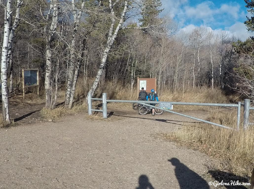
The TH starts at the gate right off the road in Parking Lot #2, and on maps is labeled as the Maples TH.
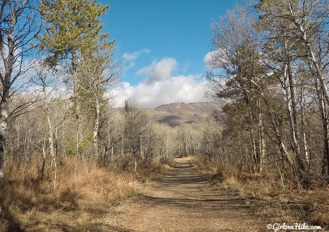
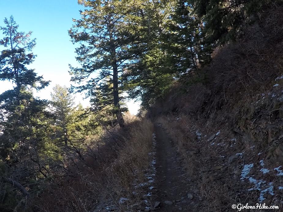
You’ll hike down a dirt road.
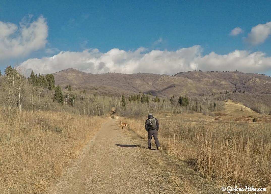
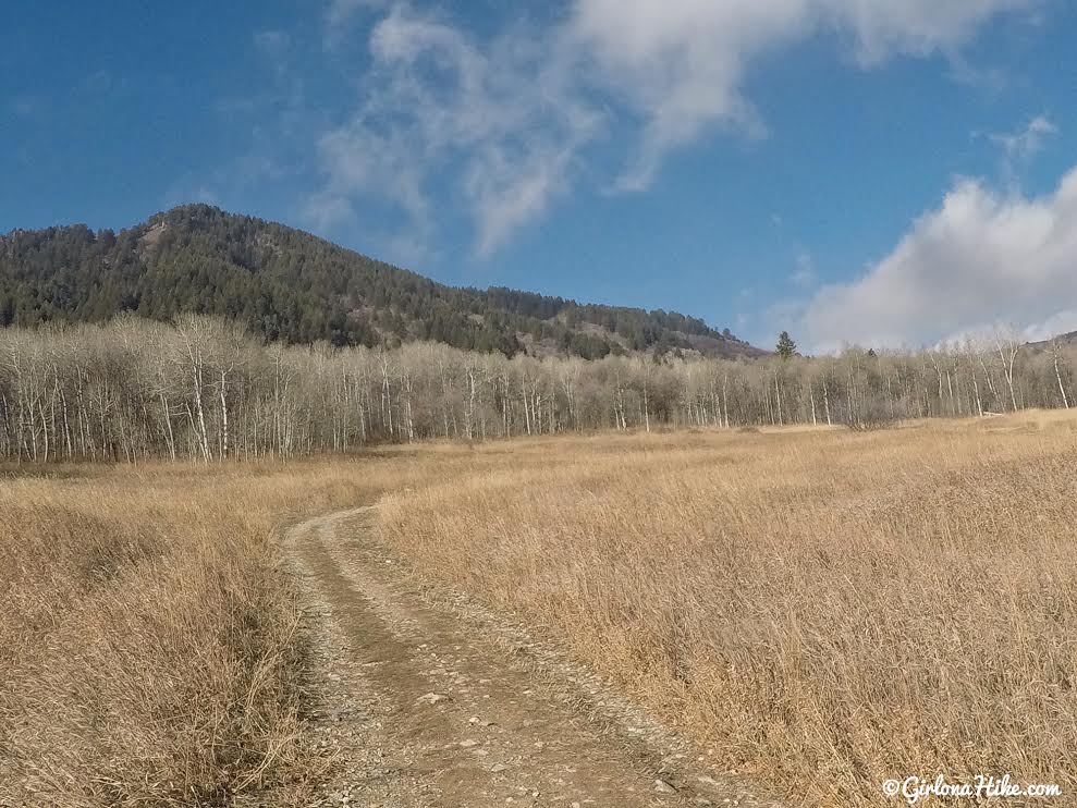
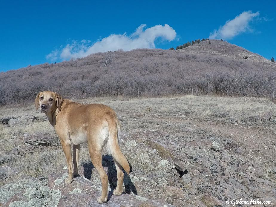
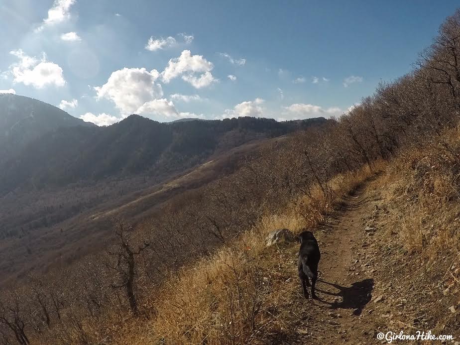
Pass a large meadow on your right. You can clearly see Sardine Peak (on the left) through this section.
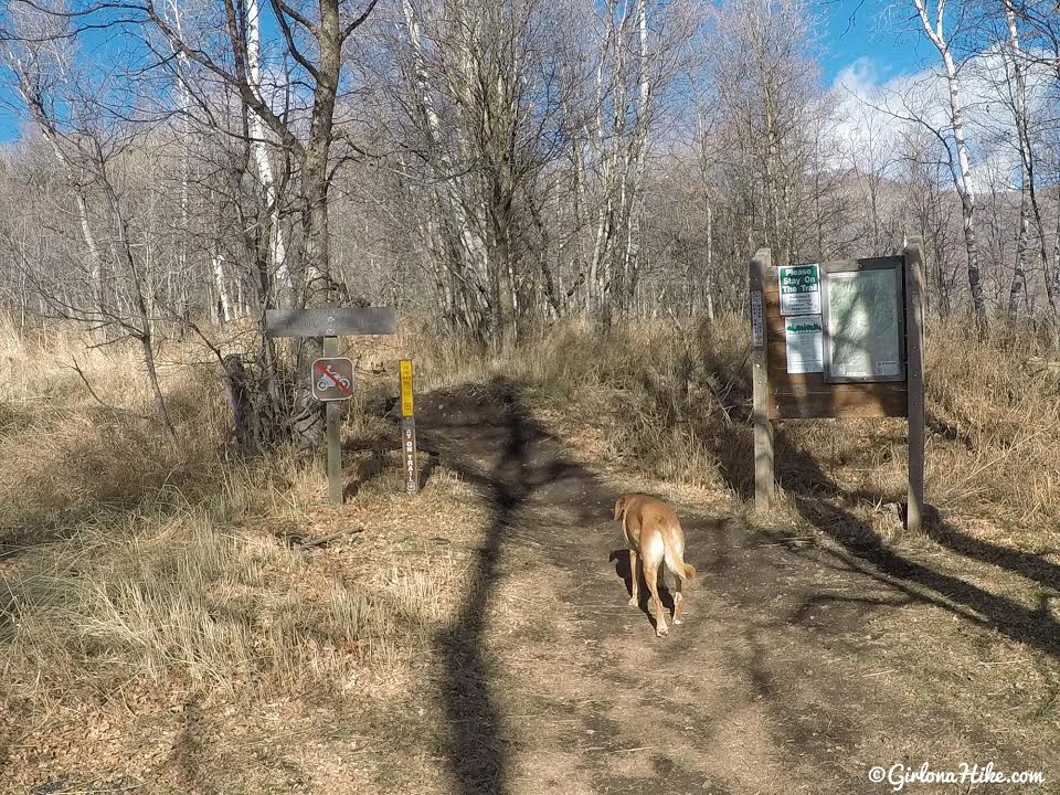
Hike past the official TH sign.
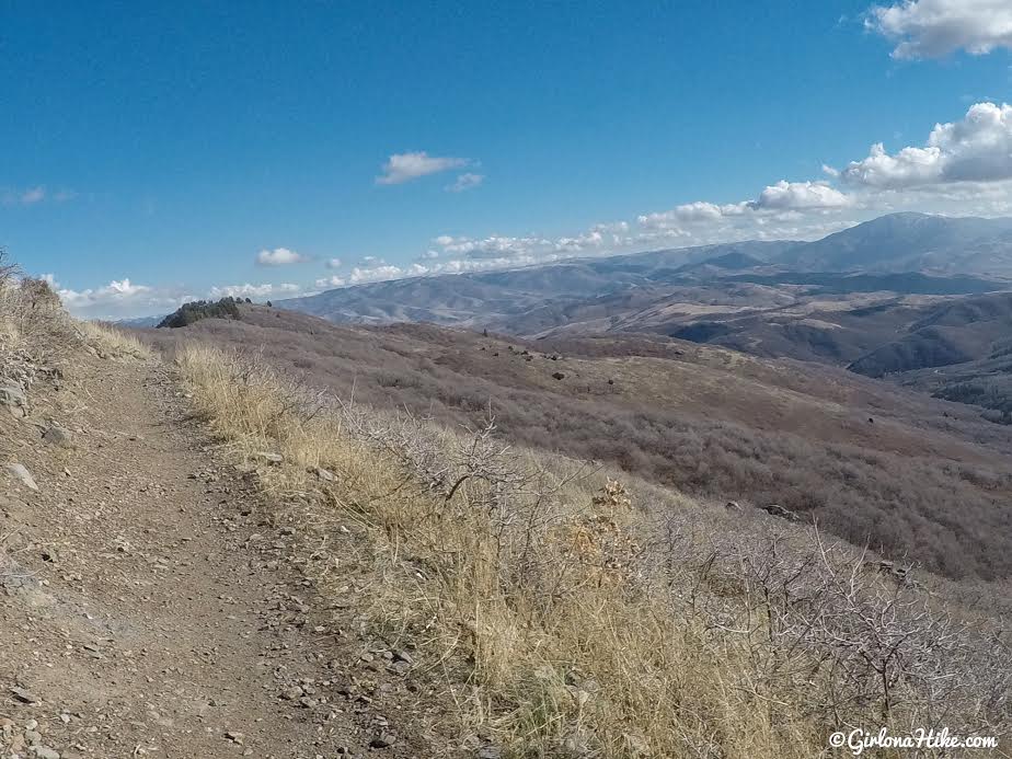
You’ll hike up very gradual, long switchbacks and will eventually reach the ridge.
Ogden Canyon Overlook
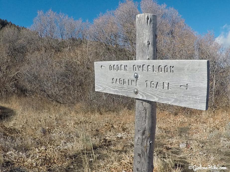
To see the Ogden Canyon Overlook, turn left. On your way back, keep straight towards the Sardine Trail.

Ogden Canyon Overlook
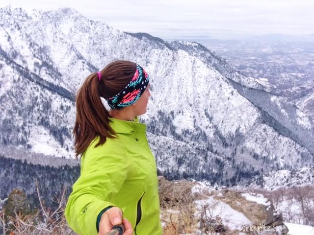
Same spot in the middle of winter! So pretty!
On the way back, hike towards Sardine Peak.
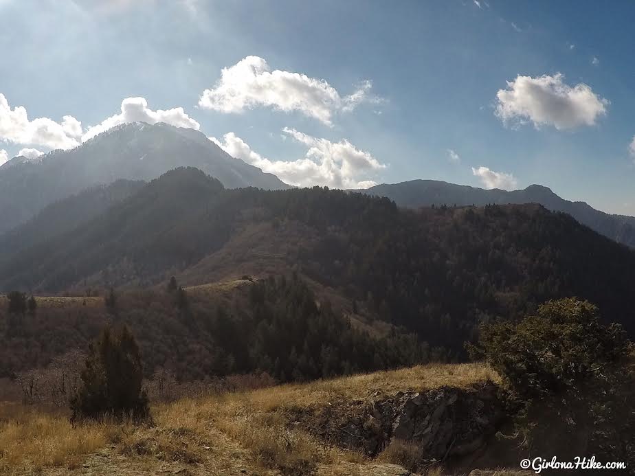
Looking back towards Mt. Ogden.
Breeze Arch
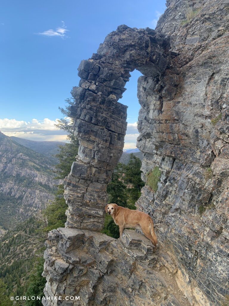
At this same overlook, you can follow a faint trail steeply down to Breeze Arch.
You’ll see on my map that we weren’t able to find a trail to the summit of Sardine Peak. I think I know how I would do it next time though. There’s a small sign for a trail split that heads directly West – from there you could follow the ridge up and bushwhack to the actual peak. We didn’t have enough time to explore this option, so we kept hiking the loop.
Once past Sardine Peak, the trail will follow the ridge heading East and will cross back and forth between the North and South sides of the ridge.
Eventually the trail will drop down a small saddle, and loop back down through several long switchbacks. This part got pretty mundane.
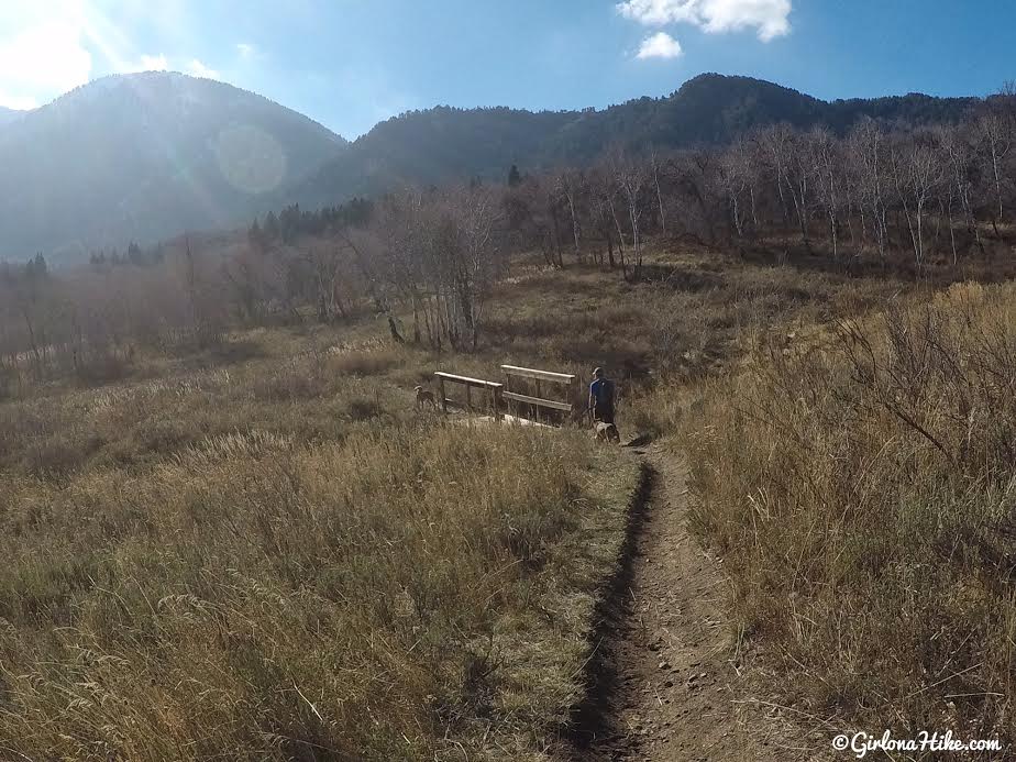
When you reach a “T” in the trail/road, turn right to loop back to the car. You’ll cross two wood bridges.
This route does make a nice, long, and easy loop though I think it would be better as a bike ride or trail run. Hiking it was a bit long and boring.
Trail Map
My track via Gaia GPS – the best tracking app! Get your app here for a discount.
Nearby Hike

Save me on Pinterest!