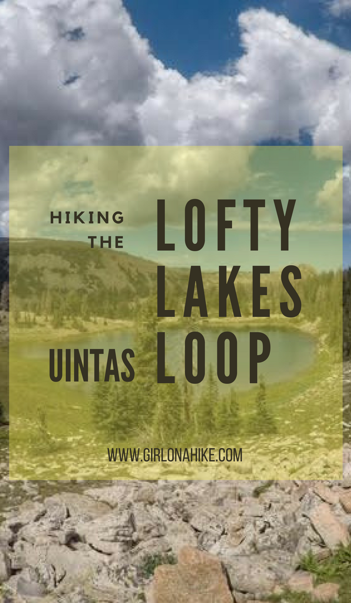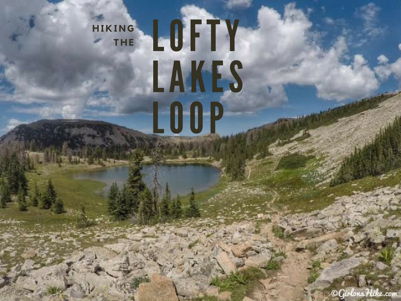
Hiking the Lofty Lakes Loop in the Uintas
The Lofty Lakes Loop Trail is one of the most scenic and rewarding day hikes along the Mirror Lake Highway in Utah’s Uinta Mountains. This 4-mile loop takes hikers past a series of stunning high alpine lakes, scenic overlooks, and through classic Uinta landscapes—all with moderate effort and big rewards.
Why Hike the Lofty Lakes Loop?
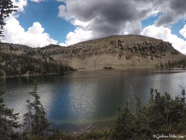
This loop is considered one of the prettiest short hikes in the Uintas, and for good reason. You’ll pass several sparkling alpine lakes—including Scout Lake, Lofty Lake, and Kamas Lake—along with sweeping views of the surrounding peaks.
If you’re up for a longer adventure, consider adding a side trip to Cuberant Lake, a hidden gem located just off the loop. This detour adds mileage but is well worth the effort for solitude and incredible scenery.
What to Expect on the Trail
-
Lofty Lake sits at an elevation of 10,800 feet, so temperatures can be cool even in July and August.
-
Dogs love this trail, thanks to the abundance of lakes and streams to cool off and drink from.
-
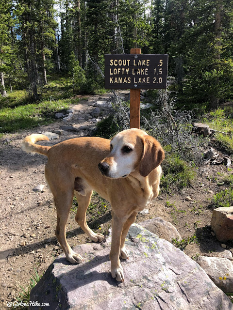
Hiking with kids? Turn around at Scout Lake, just 0.5 miles from the trailhead, for a shorter and still beautiful family-friendly option.
Trail Tips and Direction
You can hike the loop in either direction, but going counter-clockwise is generally easier. This route allows for a more gradual elevation gain at the start, making the rest of the hike feel easier and more scenic as you descend.
🧭 Pro tip: Start early in the day! The Uintas are notorious for afternoon thunderstorms, especially in summer. Always check the weather and plan to be below tree line by noon.
Whether you’re a local looking for a quick alpine escape or a visitor exploring the Mirror Lake Scenic Byway, the Lofty Lakes Loop is a must-do hike. With breathtaking scenery, manageable distance, and optional extensions, it’s perfect for a half-day adventure in the High Uintas.
Directions
Use this map if coming from SLC.
Use this map if coming from Provo.
The road is paved the entire Mirror Lake Highway. There is a sign on the right side of the road, but the TH is on the left side of the road where’ll you want to park. There is one restroom there. The Mirror Lake Highway is only open during summer months.
Trail Info
Distance: 7.6 miles Loop. If you skip Cuberant Lake it would be 4 mile RT loop
Elevation gain: 1,461 ft (including Cuberant Lake)
Time: 4-6 hours
Dog friendly? Yes, off leash
Kid friendly? Yes, 10+
Fees/Permits? There is no permit, but there is a $6 fee (good for 3 days) for accessing the Mirror Lake Highway and trails. You can purchase the pass at the ranger station in Kamas, UT, or any of the self-serve stations along the highway. If you have an annual National Park Pass or annual American Fork Canyon Pass you can use either to park free.
Parking
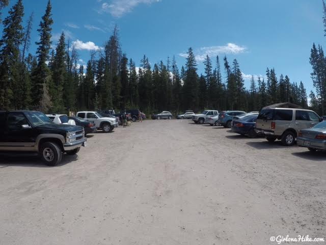
The parking lot can get packed – you may need to park along the Mirror Lake Highway if it’s full.
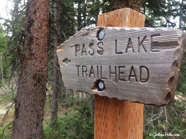
Trailhead for Lofty Lake
There are two THs – one in the NW corner of the parking lot and one in the southern area. We hiked this route in a counter-clockwise direction, so we started from the NW corner TH. If you want to hike this in a clockwise direction start from the TH in the southern end.
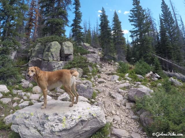
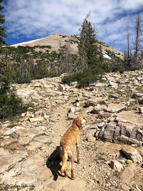
Charlie loves to jump up on boulders and pose! The trail is slightly rocky, but very gradual.
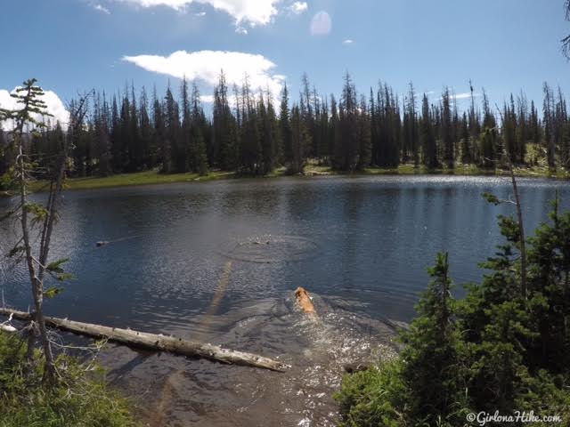
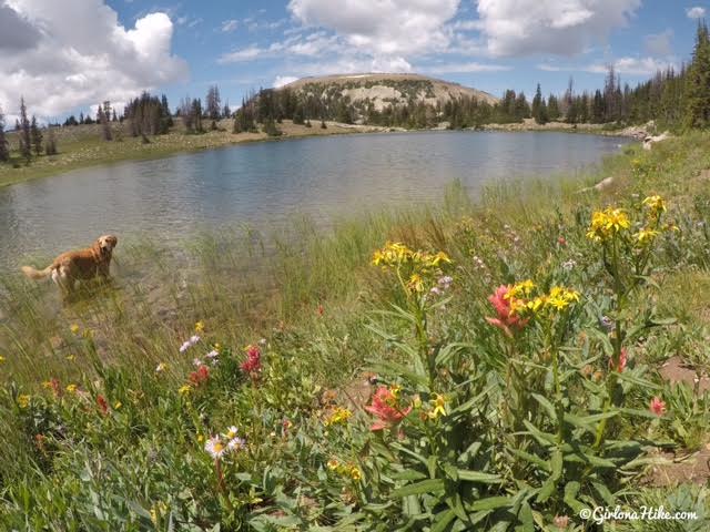
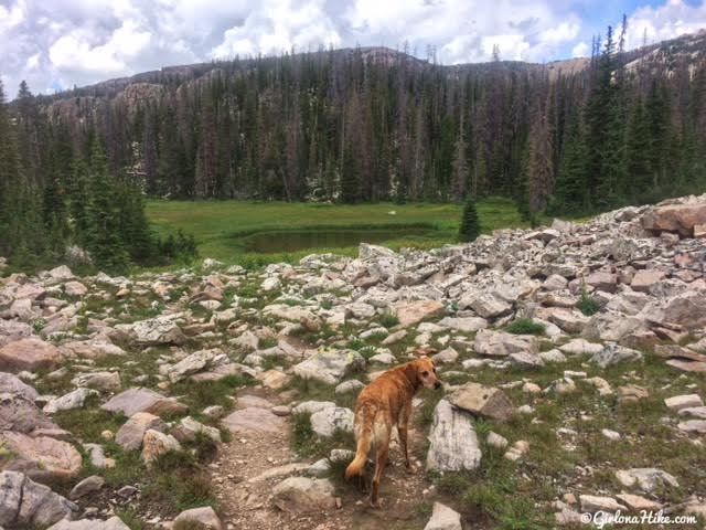
The first lake you will pass on the right is Picturesque Lake. It’s pretty small but Charlie was happy to take a quick swim!
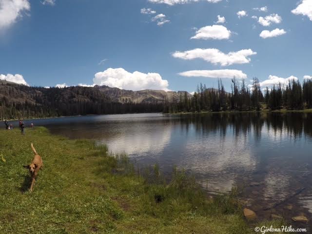
The next lake you will pass by on your right is Scout Lake, where the boyscout Camp Steiner is.
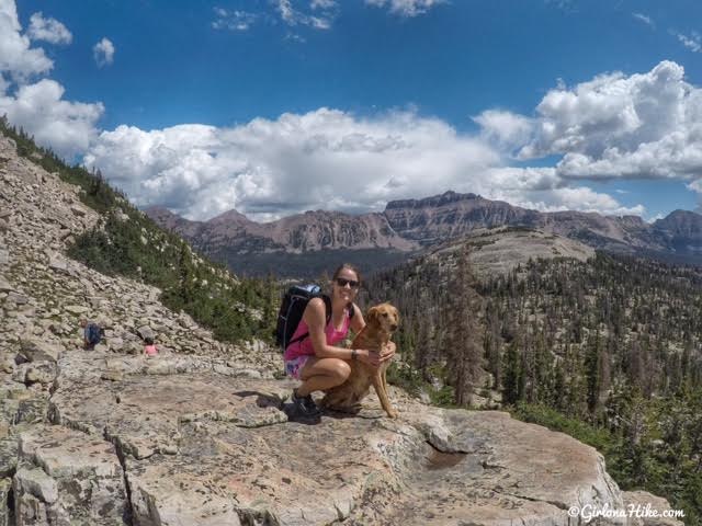
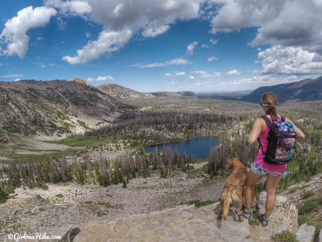
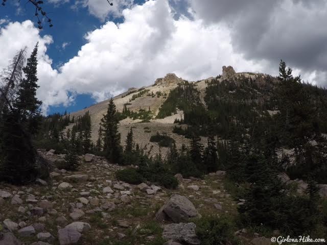
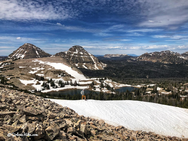
At a really pretty overlook at the small pass. Hard to believe I was just on Hayden Peak a week ago! Hayden Peak is the tallest peak in this photo just above and to the right of Charlie.
Lofty Lake Pass
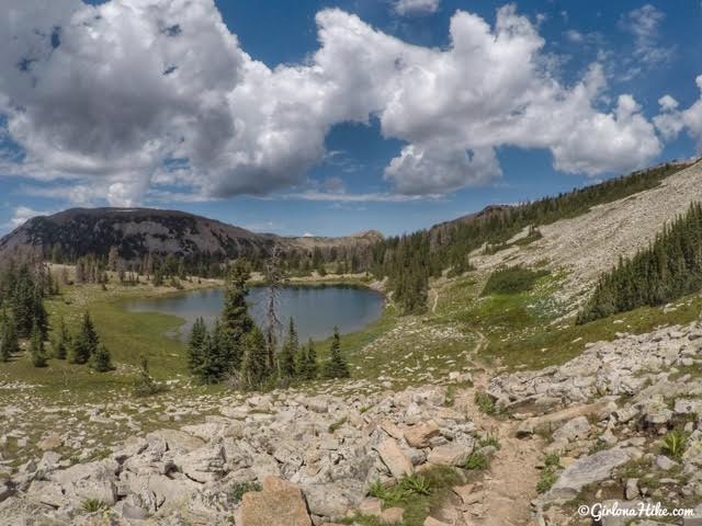
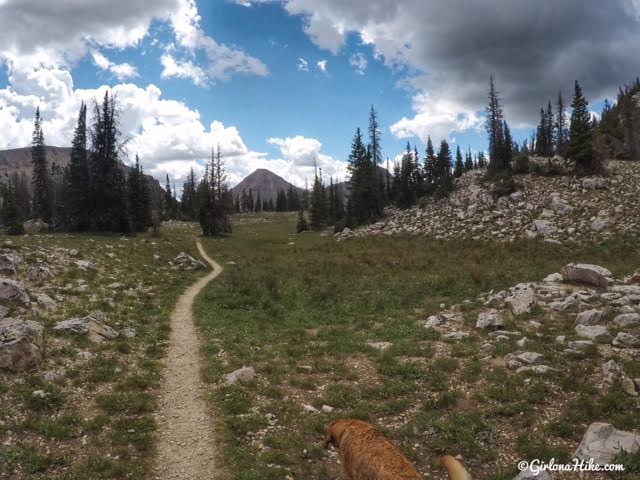
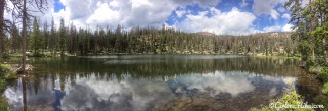
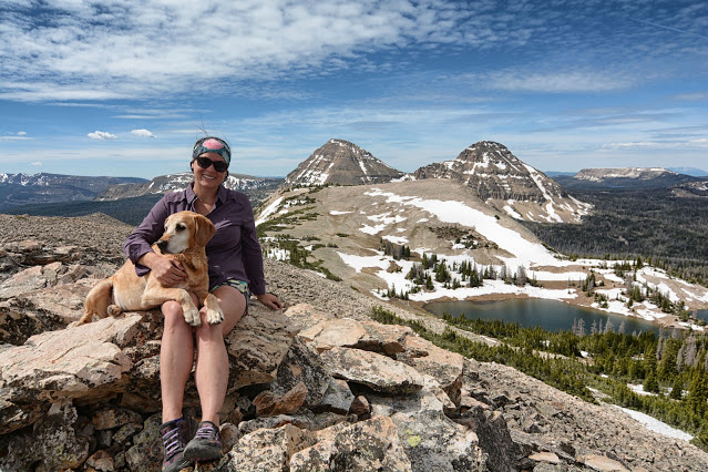
As you make your way over the small pass, you get a beautiful view of Lofty Lake.
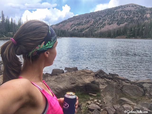
Playing in the water at Lofty Lake! Wildflowers were still in full bloom!
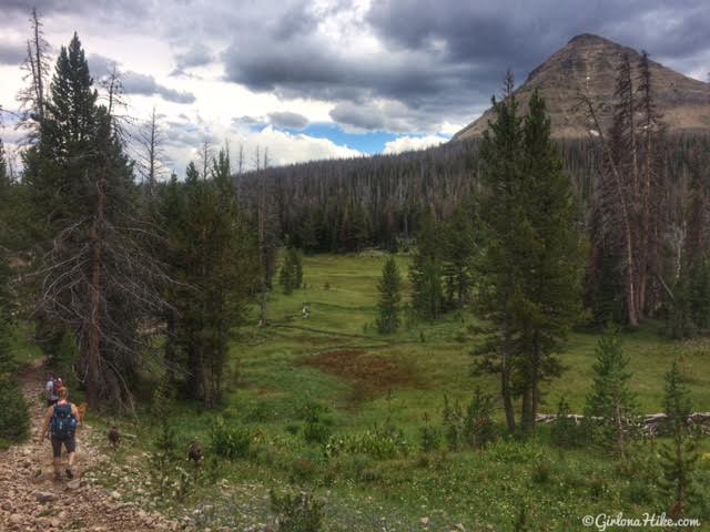
Past Lofty Lake you will start to descend down a few switchbacks, and will have another awesome view, this time of Cutthroat Lake.
Stay left at a faint trail split, and you should be hiking directly south.
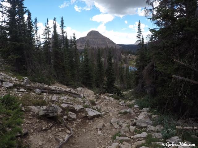
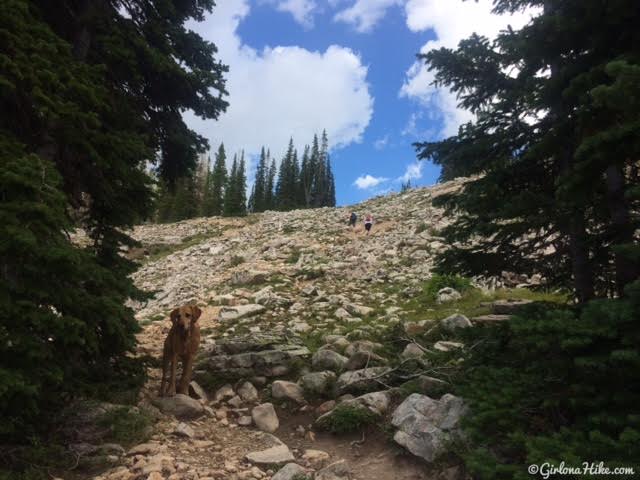
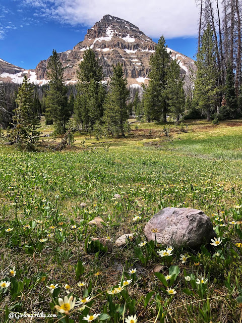
The trail gets steep for about 100 feet. Reids Peak is in perfect view!
Kamas Lake
Kamas Lake! This one would be a perfect, quick, overnight backpacking trip.
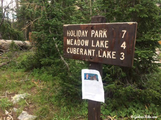
Trail Split to Cuberant Lake
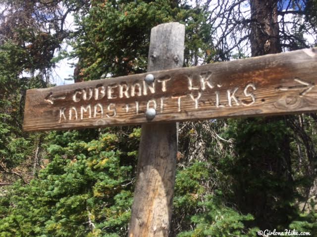
Just past Kamas Lake, you will see a trail split to the right for Cuberant Lake. If you want a shorter day hike, skip this lake. However, if you have time it’s a really pretty trail! Cuberant Lake is 1.5 miles past this trail split.
The trail gets steep in two sections.
Hike down a few small switchbacks, and past the small pond.
Unnamed pond with a few nice campsites for backpacking. Cuberant Lake is only another 5 minutes.
Cuberant Lake
Chillin’ at Cuberant Lake. This would make for another quick, overnight for backpacking. You could do a day hike up to Mt. Marsell too!
Head back the same way until you reach the trail split, and this time head south. The trail will pass by a large meadow, and eventually come to another unnammed trail split. Stay left.
Back on the Main Trail
When you get close to the main parking lot you will finally see a trail sign. Stay left again to complete the Lofty Lake Loop.
Right before you get to the parking lot you will see the trail sign for if you were to hike this loop the opposite way.
June 2020
This year the Uintas melted out much earlier in the year, so we decide to do the Lofty Lake Loop again but this time hit Lofty Peak.
Hiking to Lofty Peak
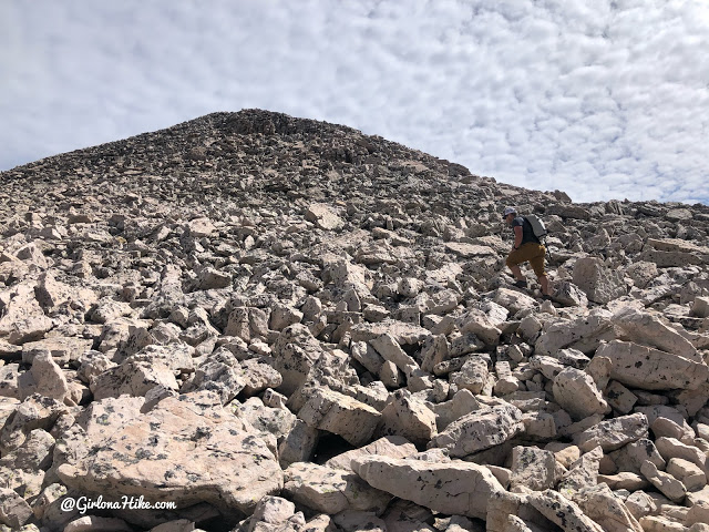
Once we reached the saddle, we just followed the ridge north through the boulder field.
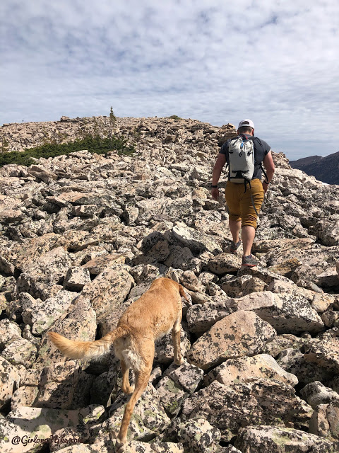
Getting higher.
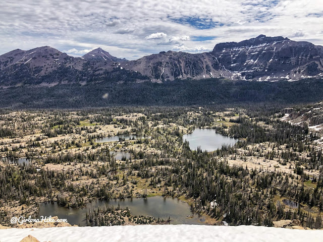
What a great view of Hayden Peak & Ruth Lake.
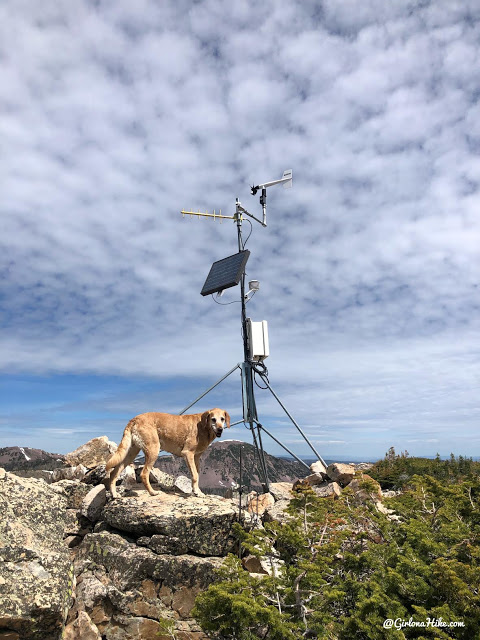
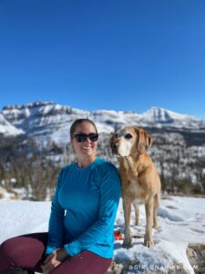
Charlie beats us to the summit marked by the weather station.
Summit of Lofty Peak
On Lofty Peak, 11,158 ft
A little bit of snow remained, but nothing that we couldn’t hike around. I just can’t get over these views of Bald Mountain and Reids Peak!
We completed the normal loop to get back to the car. Such a great day in the Uintas!
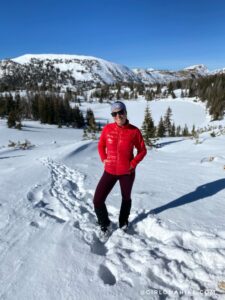
Winter Hiking the Lofty Lake Loop
If you time it just right, you can hike this winter! The gate typically closes in October but winter got a late start in 2021 and the road was still open and free of snow near Thanksgiving. So crazy! I took advantage of that and went for a winter hike. We only made it to the saddle, but the views were amazing with all the snow!
Trail Map
My track via Gaia GPS – the best tracking app! Get your app here for a discount.
Nearby Hike
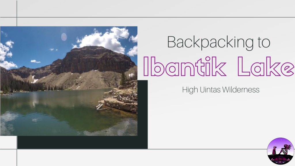
Backpacking to Ibantik Lake, Uintas

Save me on Pinterest!