
About
Loop
Out-n-back
Point-to-Point
All three options follow the exact same trail, it’s just how you want to complete it. It’s a very shaded trail, making this perfect on hot days. However, there is no water along it. I love doing this after work to fit in a good workout within two hours, and you’ll gain 1200 ft in just 2 miles.
Directions
Drive up Millcreek Canyon for 4.5 miles, then turn right at the narrow bridge with a sign for Terraces Picnic area. If you reach the winter gate, you went too far. Drive up the narrow road until you reach the picnic area, and turn left. Drive to the end of the road where there is a large picnic area. The trail starts in the back of the picnic tables, with a sign for Terraces-Elbow Fork Trail.
Here is a driving map.
Trail Info
Distance: 4.5 miles RT (loop)
Elevation gain: 1,200 ft
Time: 2-3 hours
Dog friendly?
Yes, off leash on ODD days. Must be leashed on EVEN days.
Kid friendly? For older kids, yes
Fees/Permits? There is a $5 fee upon exit, or FREE if you buy the Annual Millcreek Pass ($50). Millcreek Canyon does NOT accept the National Park Pass, American Fork Pass, nor the Mirror Lake Highway pass. No permit is required to hike this trail.
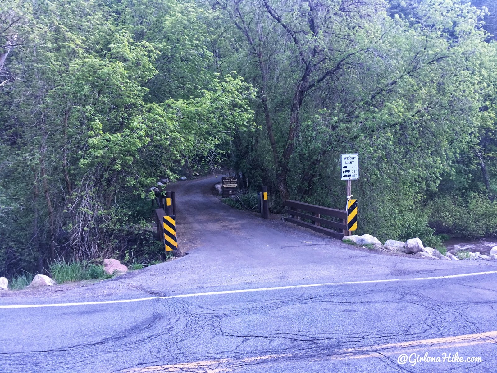
The turn for the Terraces Picnic Area can be hard to miss – there’s no sign before it, so you have to know where to turn. Look for the two yellow/black posts and the immediate bridge. You’ll then see the sign right after, which you can barely see here.
If you are doing the loop, you will want to park up here. Make sure you park across from this turn into Terraces Picnic Area, then walk up the road to the actual TH. This will create your loop hike.
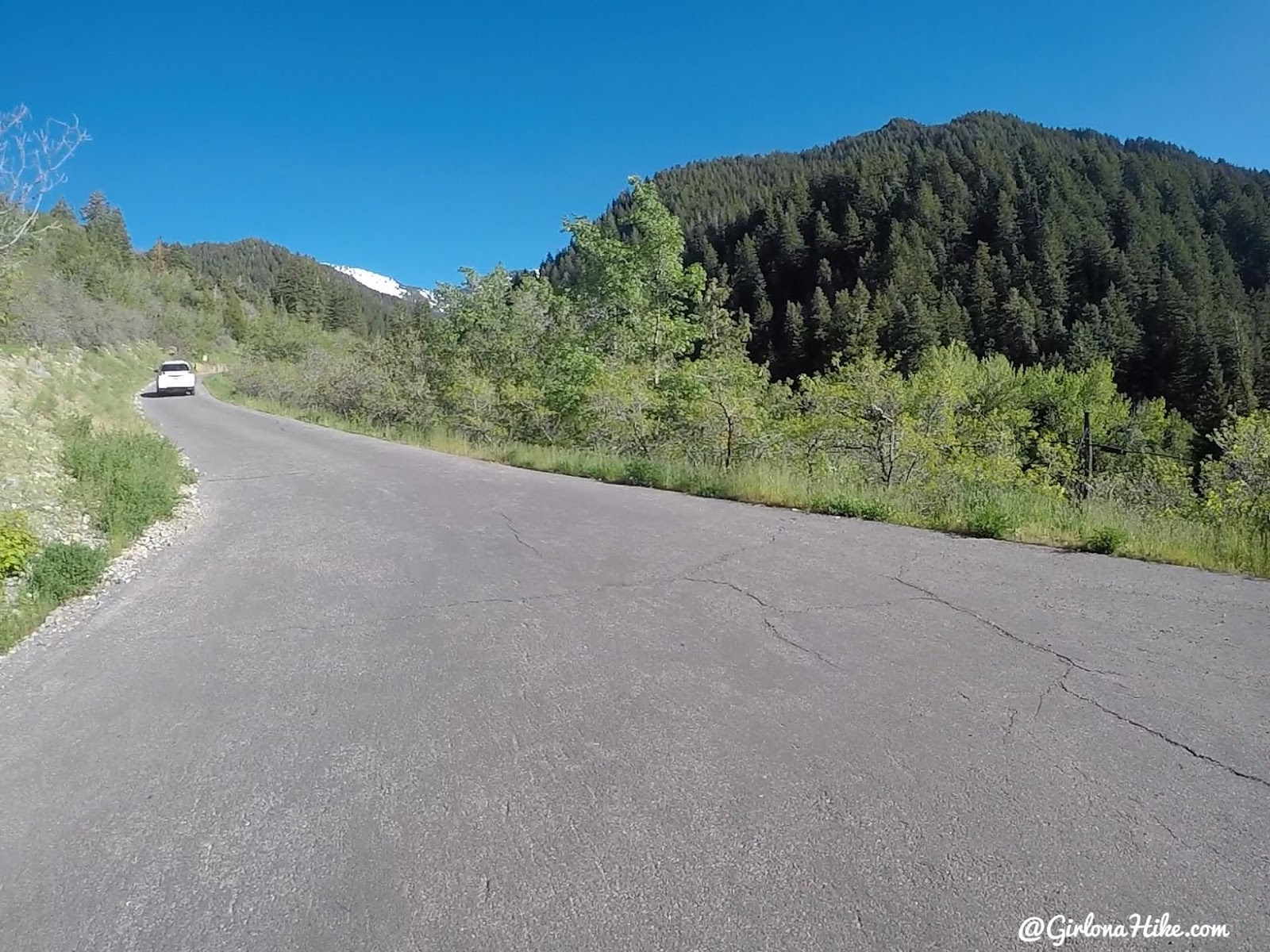
If you are hiking this as an out-n-back or point-to-point, then you will want to park at the TH by continuing up this road.
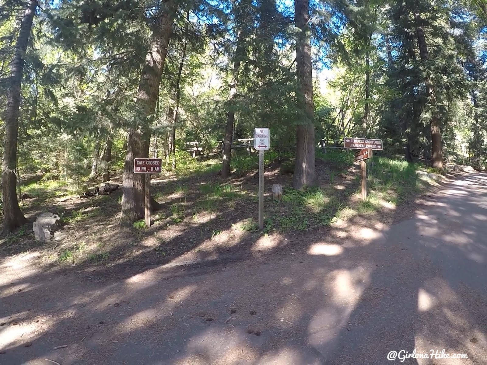
At the “T” in the road, turn left. Right takes you to the Bowman Fork TH.
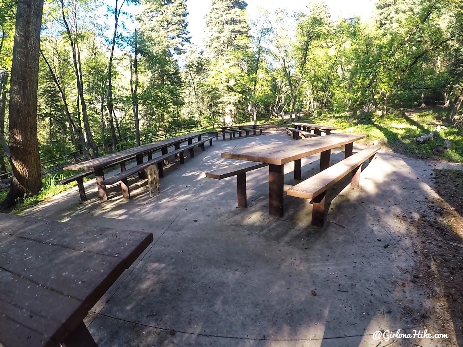
Walk to the end of the road, and continue past all the picnic tables.
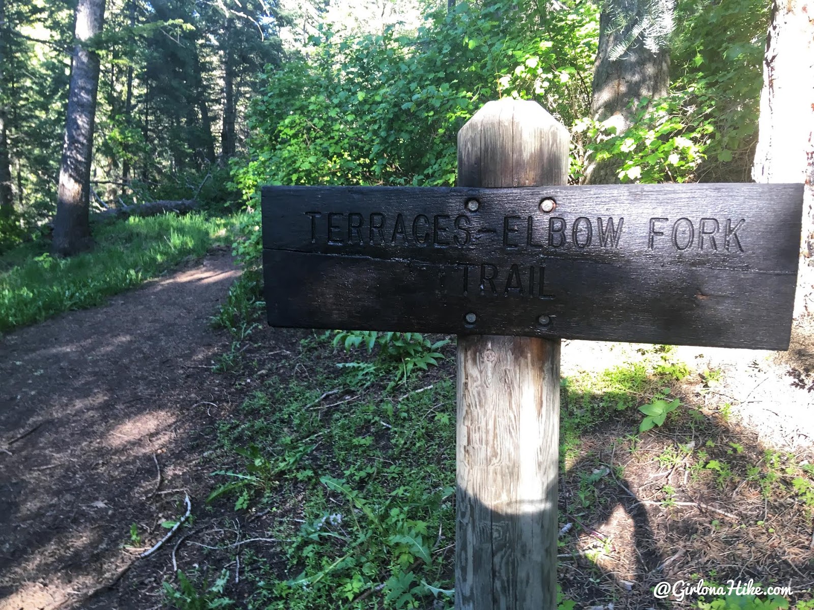
You will now see the official trail sign.
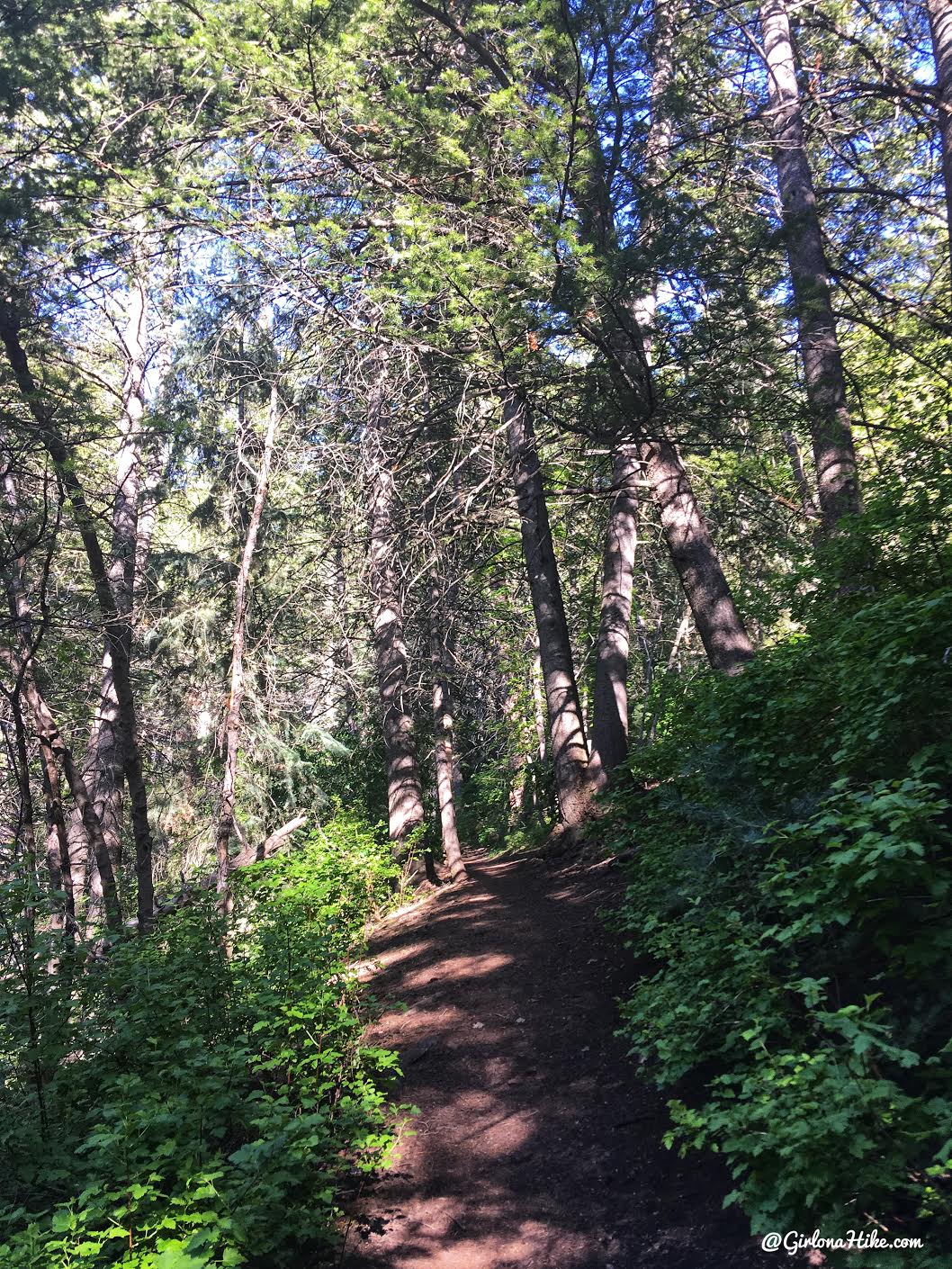
This trail is great because its really shady, so its perfect for hot summer days with the dogs.
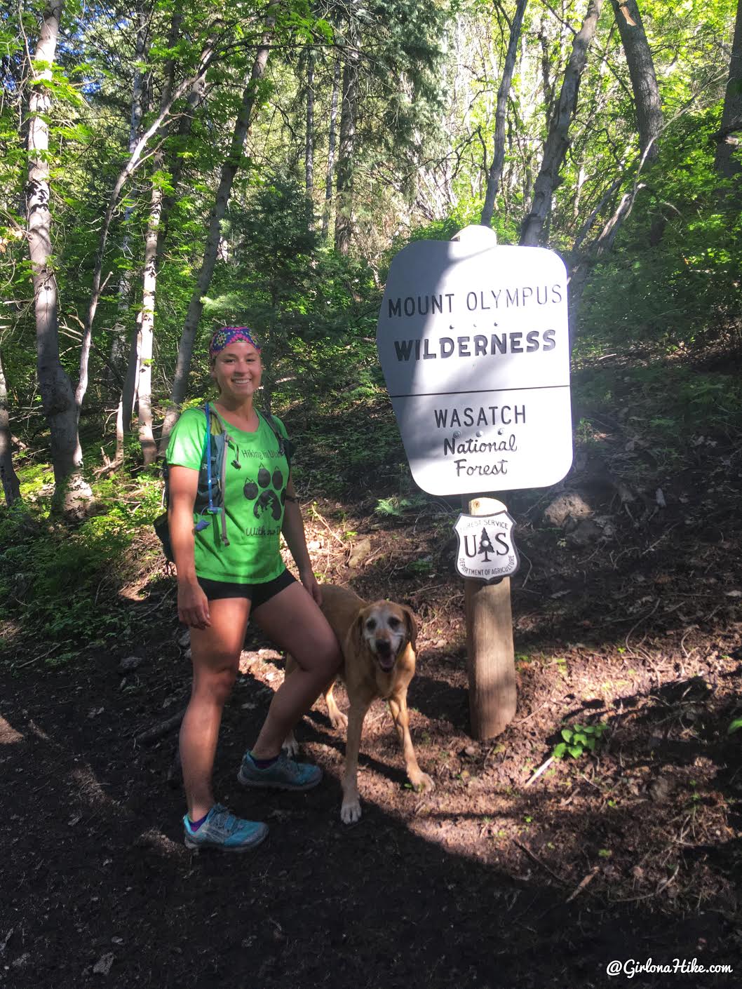
Hike up a few long switchbacks, then reach the Mt.Olympus Wilderness sign.
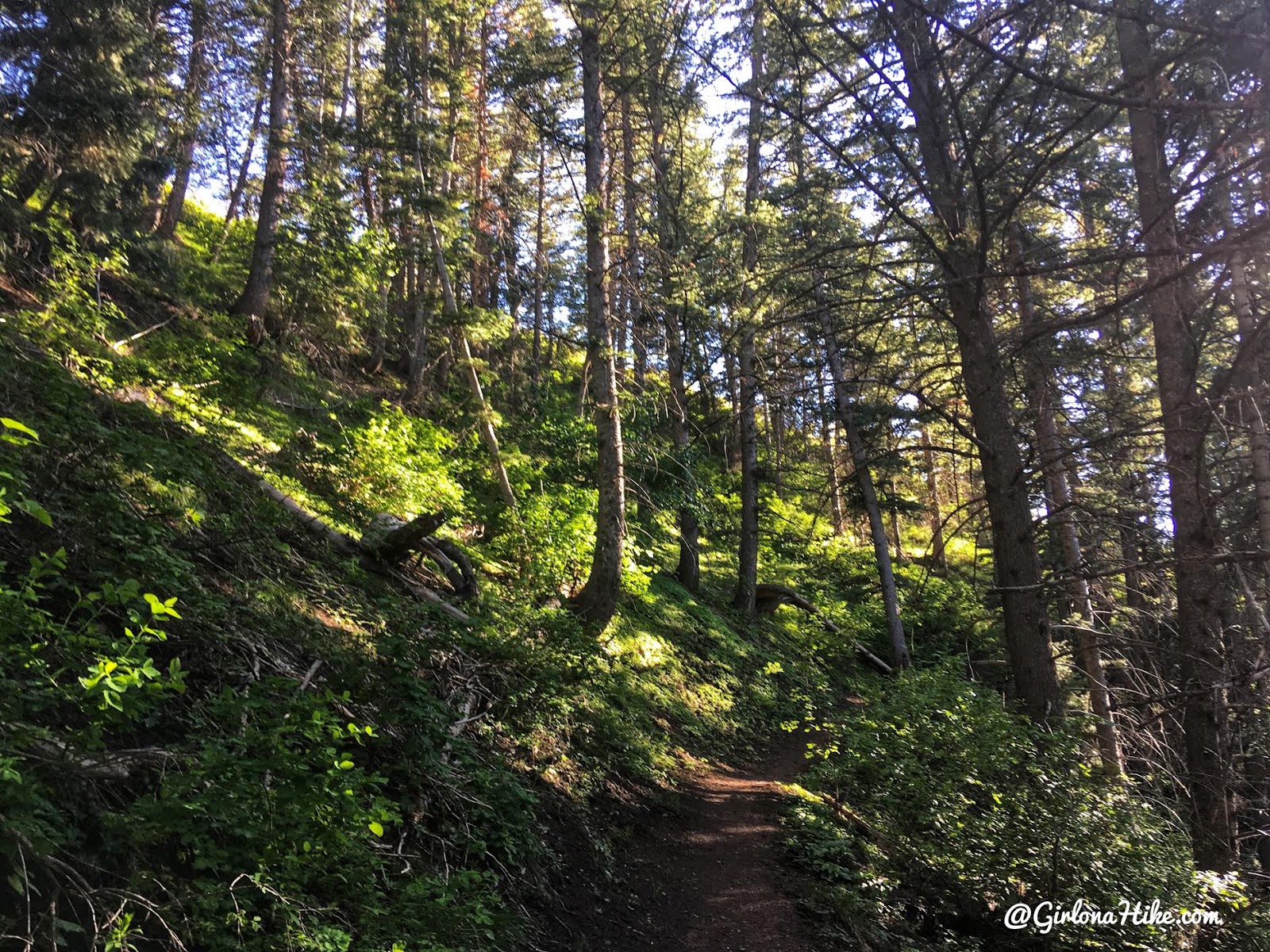
More switchbacks.
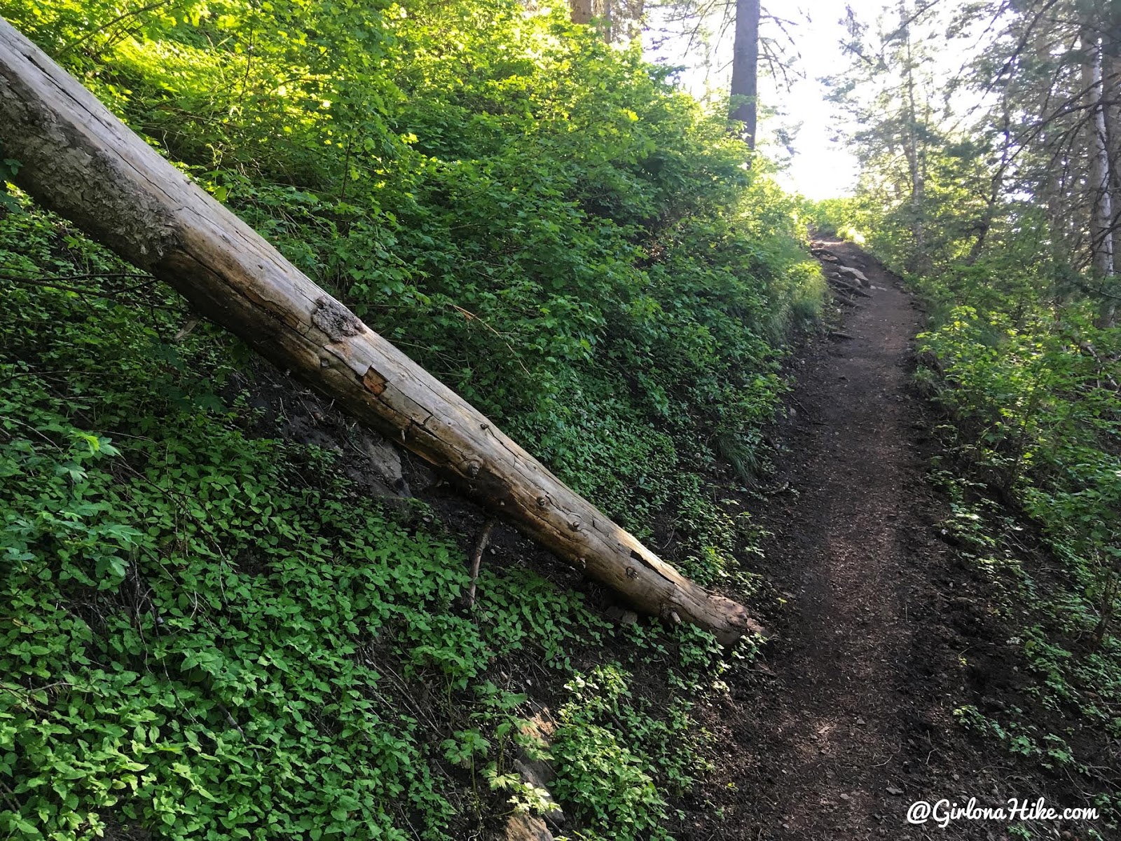
In June the trail was SO green! In my opinion, the best time to hike here is early summer when everything is blooming and still green.
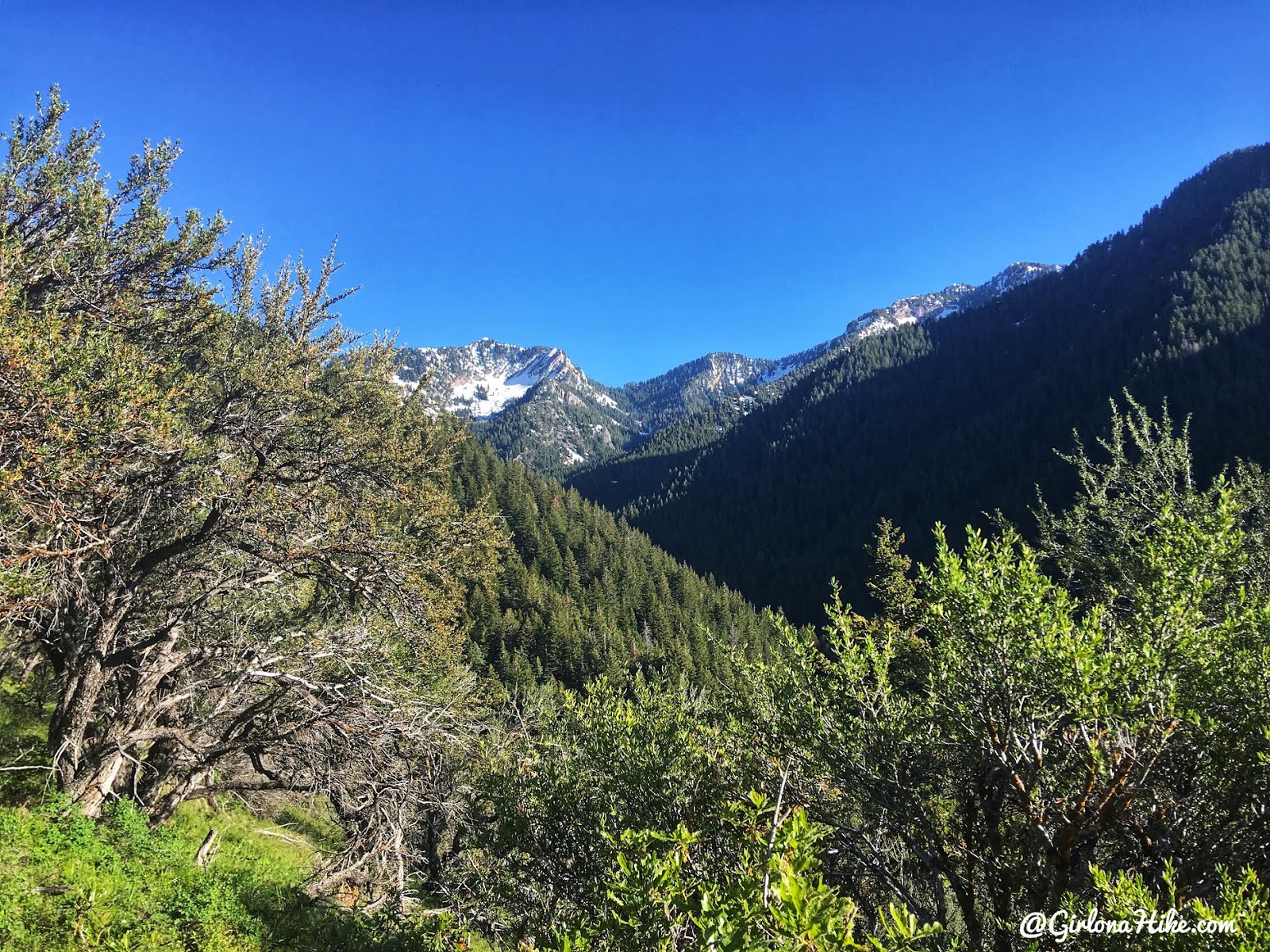
Eventually you’ll reach an open ridge area, and will have a look at Mt.Raymond.
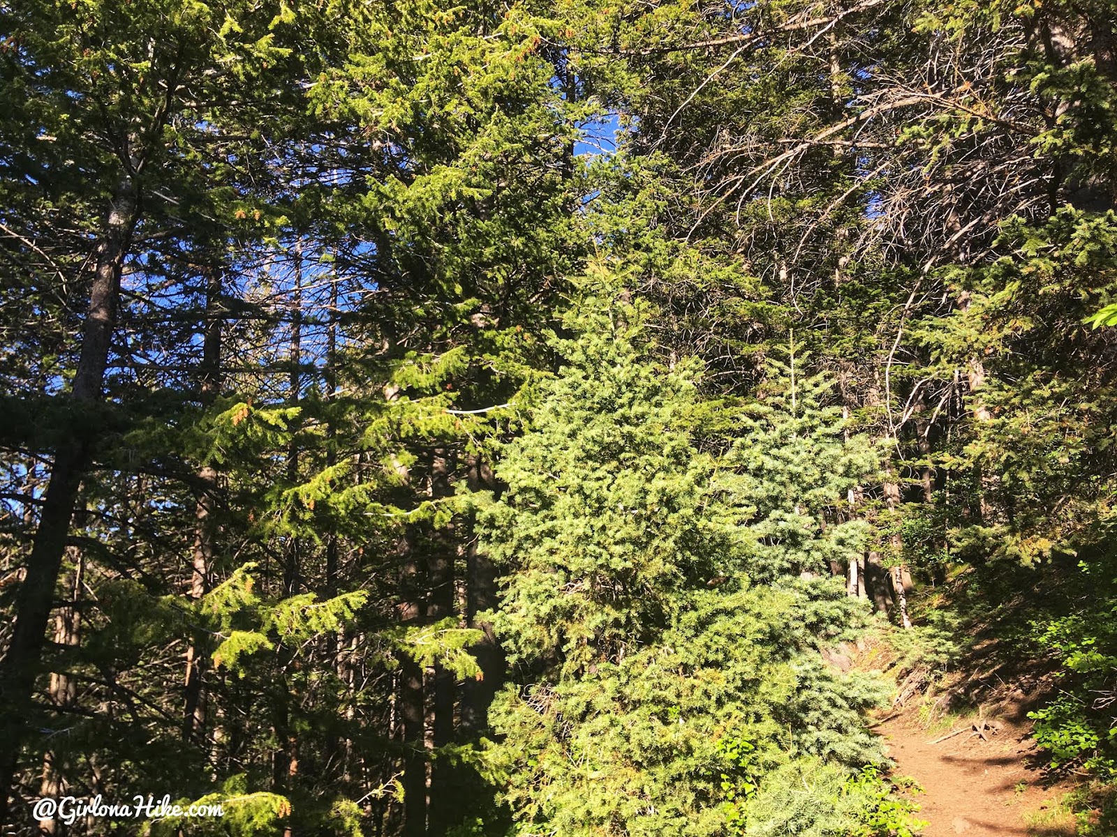
Back into the trees.
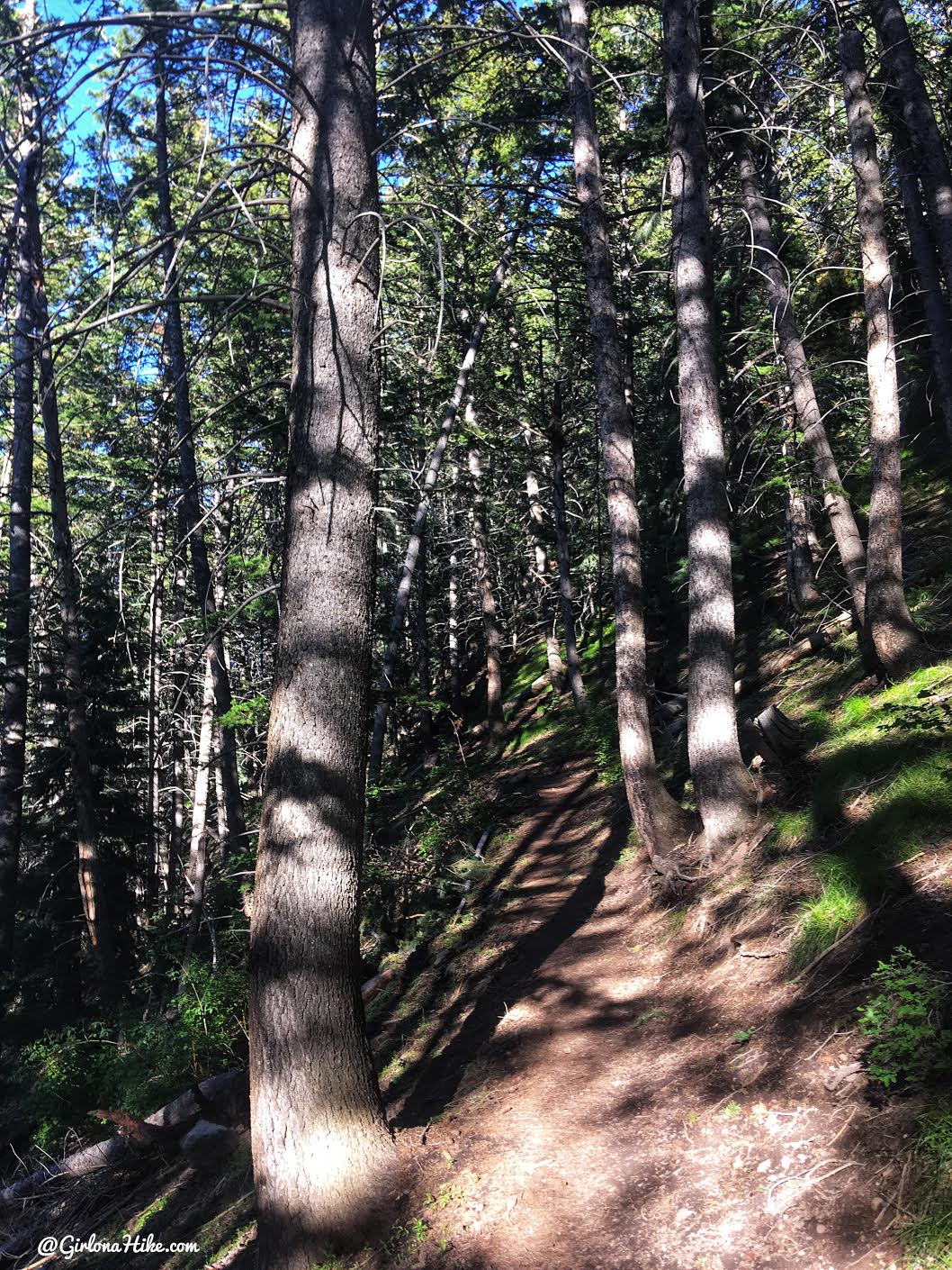
The trail gradually gains elevation for 2 miles.
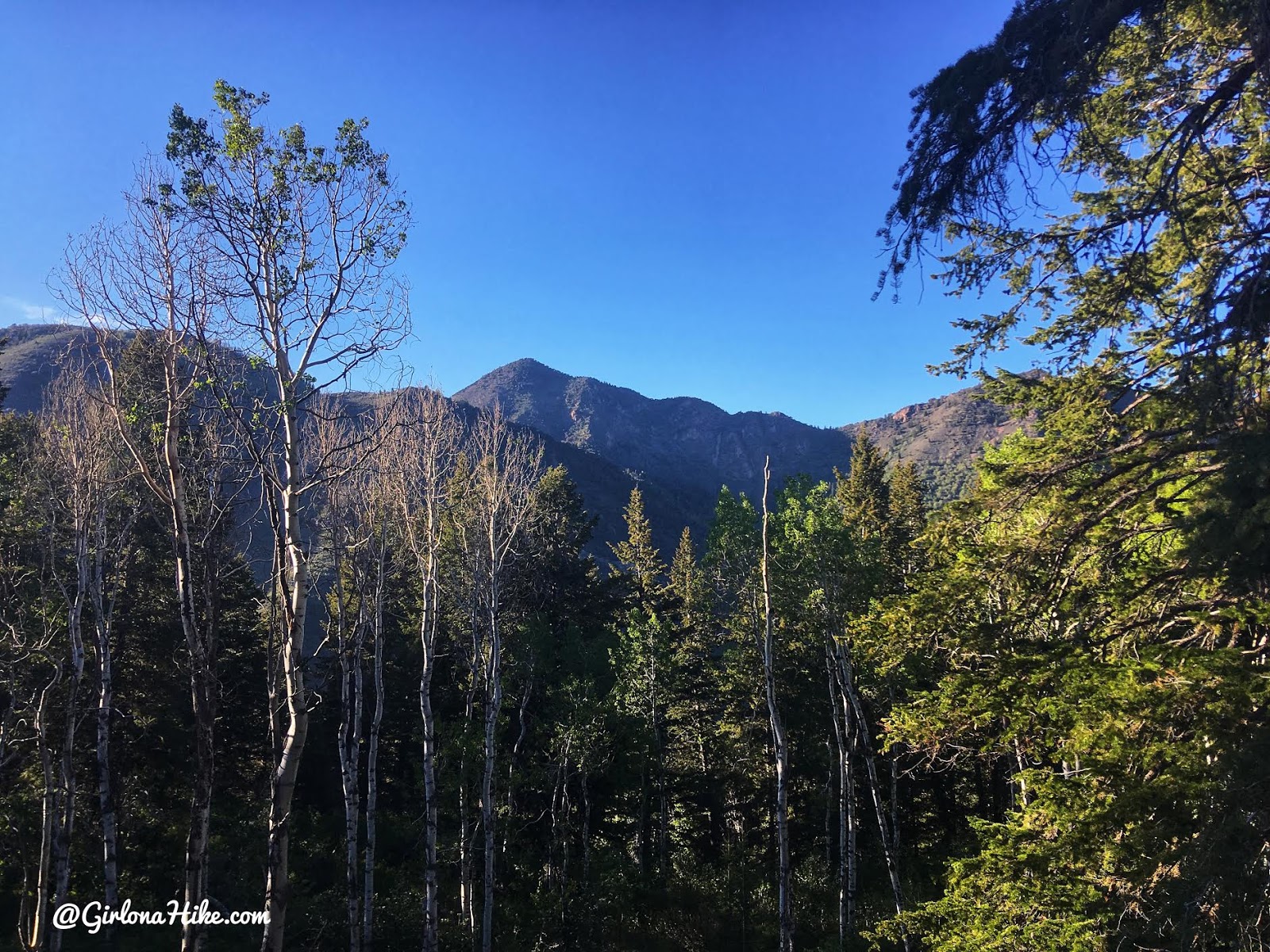
Near the top of the ridge, you will have a great view of Mt.Aire to the North.
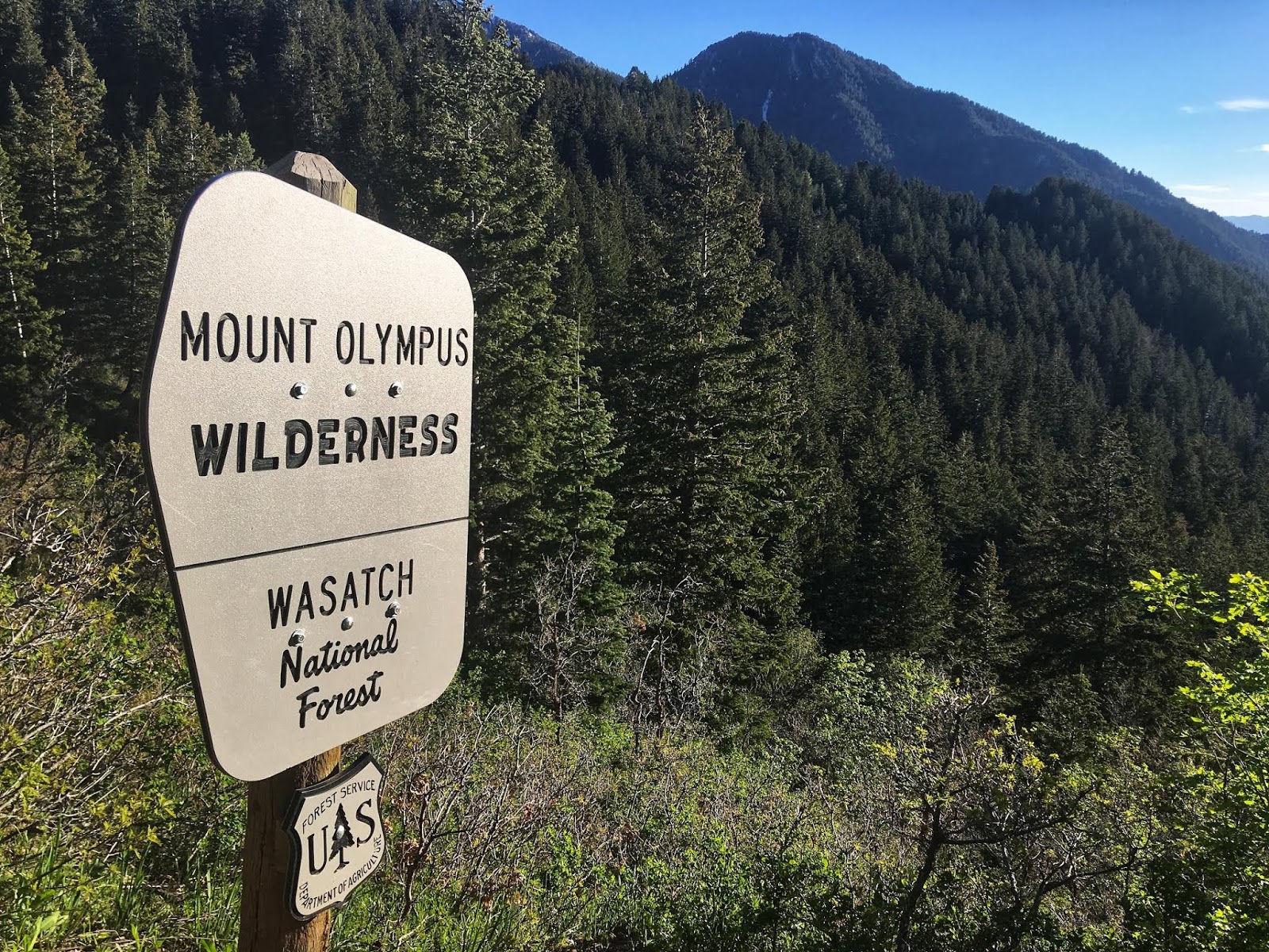
At 2.3 miles, pass another wilderness sign.
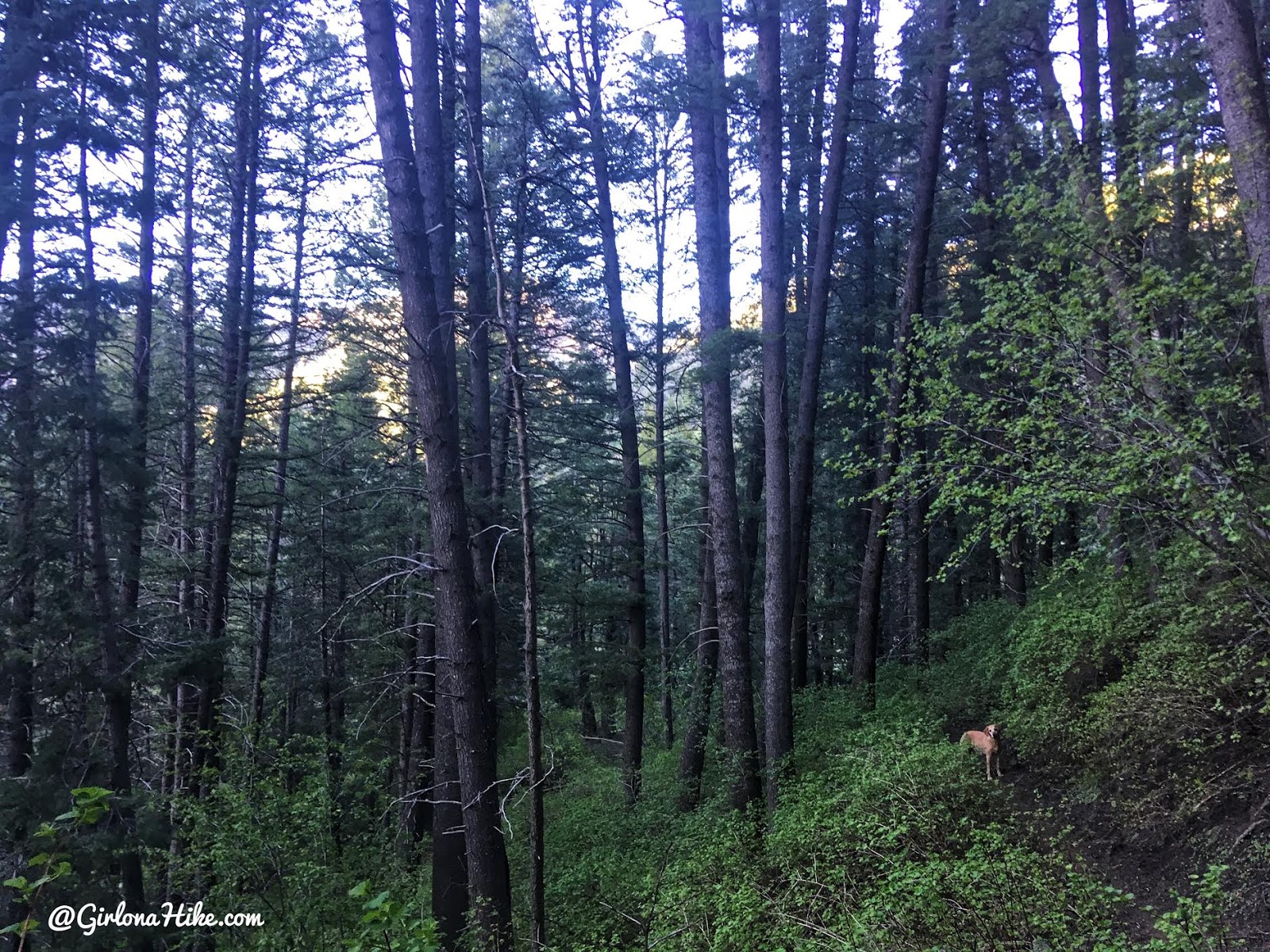
You will now work your way downhill. It’s a little steep but not horrible. This is the reason I like to hike this counter clockwise – I would rather hike UP a more gradual trail and down a steeper section. However, again, you can hike this either way.
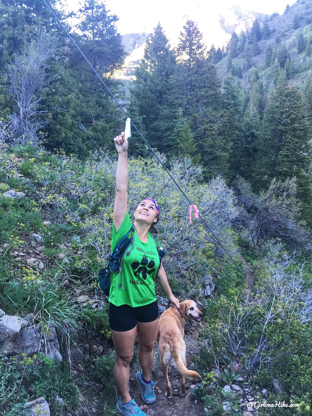
At 2.6 miles hike under the low hanging electric pole wires.
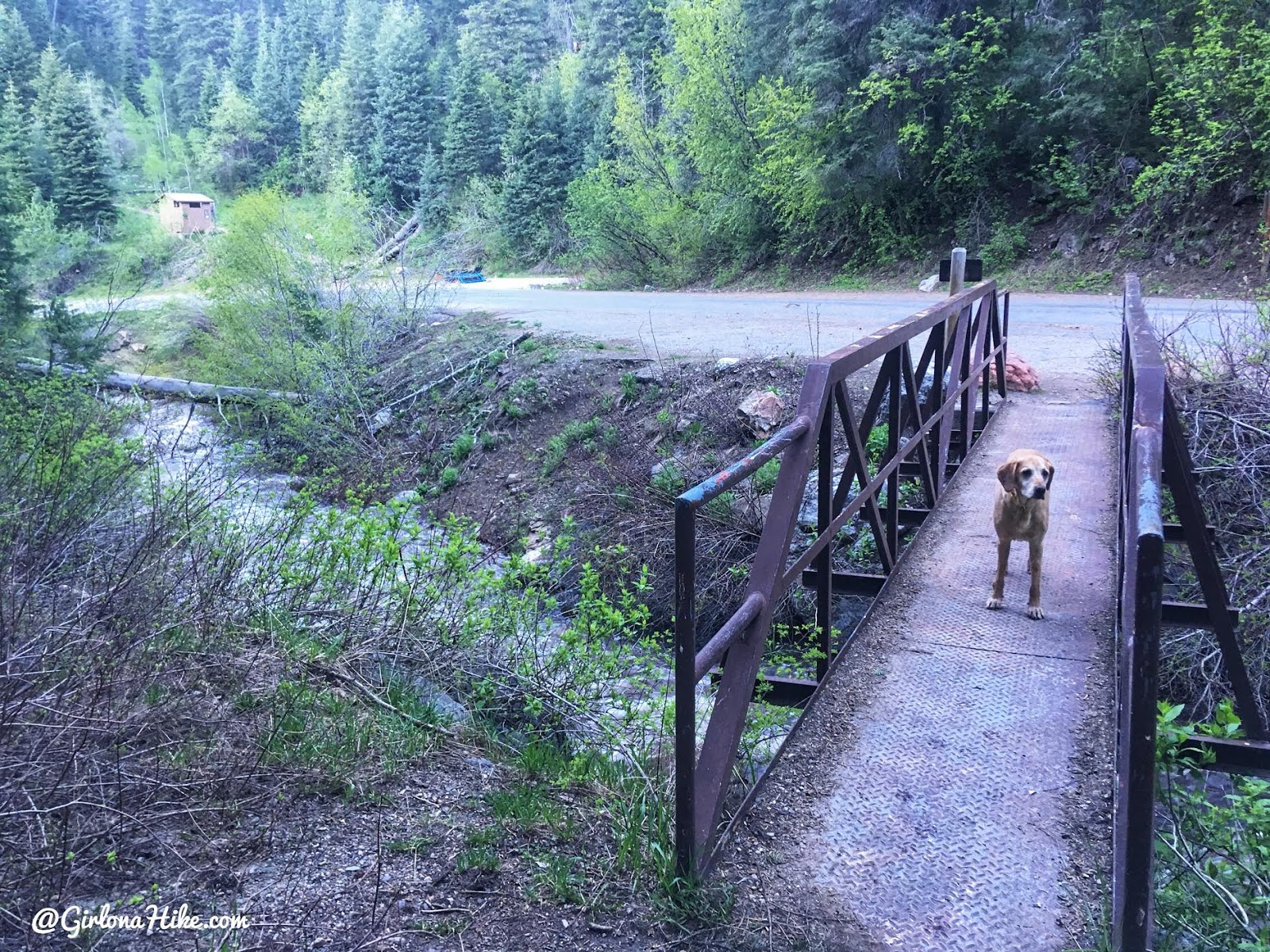
At 3 miles you will reach the bridge, and will now be on the Millcreek Road again. If you plan to hike this as a loop, continue walking down the road. If you do this as a point to point, the is where you’ll want to park the 2nd car. And the 3 option, is to simply turn around to create an out-n-back route.
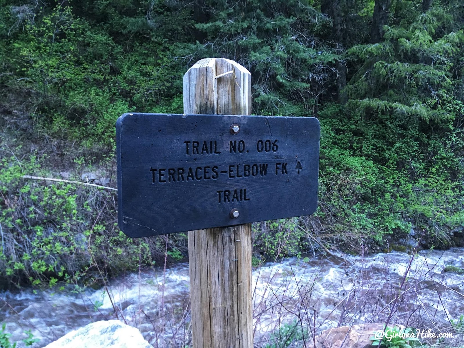
You will also see the sign from the Millcreek Road at the bridge.
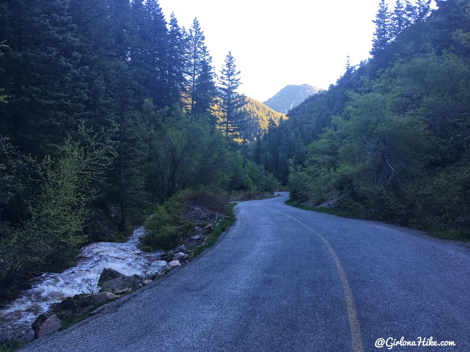
We made our way back down the road to meet up with our car, creating a 4.5 mile loop. Just want to emphasize that I highly recommend NOT hiking this as a loop when the road is open July 1 – Oct 31, as there are A LOT of cars and it’s not safe to walk down this road. It would be better to follow the Pipeline Trail back, however it adds on about another mile or so since it’s less direct.
Trail Map
My track via Gaia GPS – the best tracking app! Get your app here for a discount.
Recommended Hike
The 7 Best Trails in Millcreek Canyon

Save me on Pinterest!
