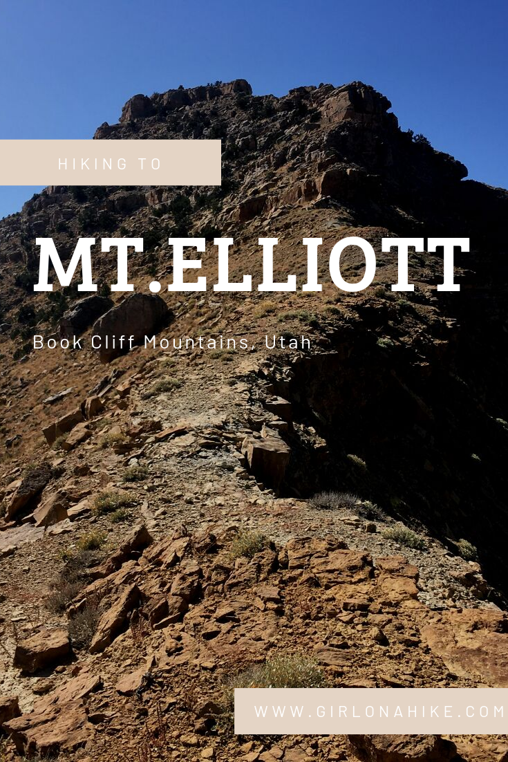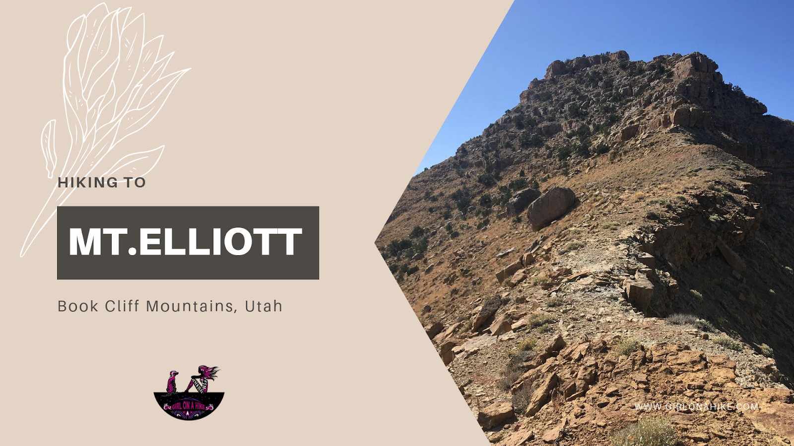
Hiking to Mt. Elliott (7,142 ft) – Book Cliffs, Utah
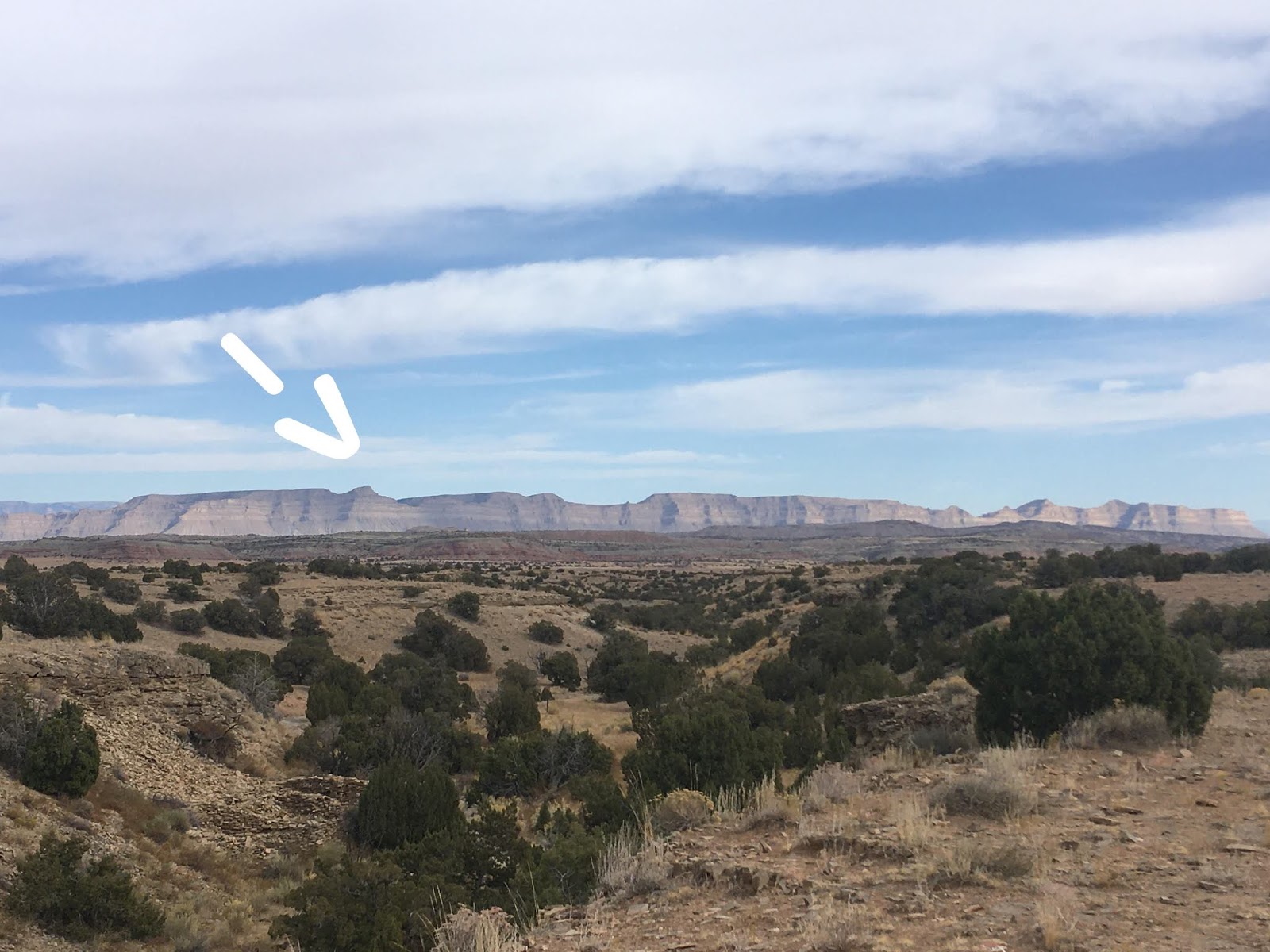
Mt. Elliott (elevation 7,142 ft) is a remote and rugged peak located in the Book Cliffs between Price, Utah and I-70. If you’ve ever driven from Salt Lake City to Moab, you’ve likely passed this distinctive peak without even realizing it. Near the small town of Woodside, UT, look southwest from the abandoned gas station (sometimes home to roadside jerky vendors), and you’ll spot Mt. Elliott’s jagged, isolated summit. It’s hard to miss—its sharp profile stands out against the surrounding ridgelines.
This obscure summit ranks #24 out of 29 on the Utah County Prominence Peak list, and due to its isolation and tough conditions, only a handful of hikers reach the summit each year.
Best Time to Hike Mt. Elliott
Timing your hike is critical for both safety and comfort. The two biggest factors are:
1. Price River Flow Rate
You must cross the Price River, and the flow needs to be below 50 CFS to safely wade across. In spring, runoff can cause flows to spike as high as 200 CFS—far too dangerous to cross. Check the current flow rate here before you go.
2. Temperature
Avoid hiking in hot conditions. Once temps hit above 70–75°F, the hike becomes extremely uncomfortable due to zero shade and no water sources. Dehydration and sun exposure are real concerns in this part of Southern Utah.
Because of the heat and mileage, I chose not to bring my dog Charlie. With a 16-mile day ahead and no water along the trail, I didn’t want to risk overheating or paw injuries. Dogs are allowed, but assess your pet’s endurance before bringing them.
✅ Recommended Season: Fall is ideal—cool temps, low water levels, and clear skies. We hiked in October and still got sunburned, so bring plenty of sun protection, at least 3 liters of water, and high-energy snacks.
Driving Directions to Mt. Elliott Trailhead
From Price, Utah, head south on Highway 6/191 for 37.8 miles to milepost 278. Look for an unsigned dirt road on the left (east side) — this is your turnoff. If you reach the abandoned gas station in Woodside, you’ve gone too far. That gas station is also a good spot to turn around if you miss the turn.
0.0 miles – Turn onto the dirt road and reset your odometer.
4.3 miles – Cross a cattle guard.
5.2 miles – The road narrows to a single lane. A brown sign marks the start of a rougher jeep road.
7.9 miles – Reach the Price River, where the road ends and a small turnaround area makes a good basecamp or parking spot.
Vehicle Note: A high-clearance SUV or truck is recommended. Small cars may struggle due to overgrown shrubs and rocks that can damage the undercarriage.
👉 Click here for the Google Map to the trailhead
This was actually driving out from our hike, since as we pulled in at night we couldn’t see anything.
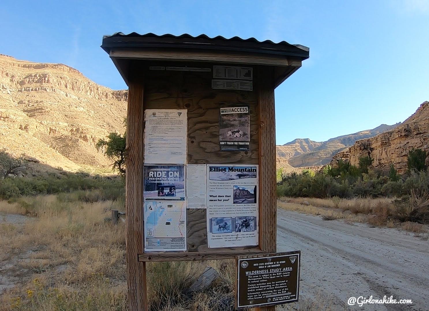
Pass by an info sign on your left.
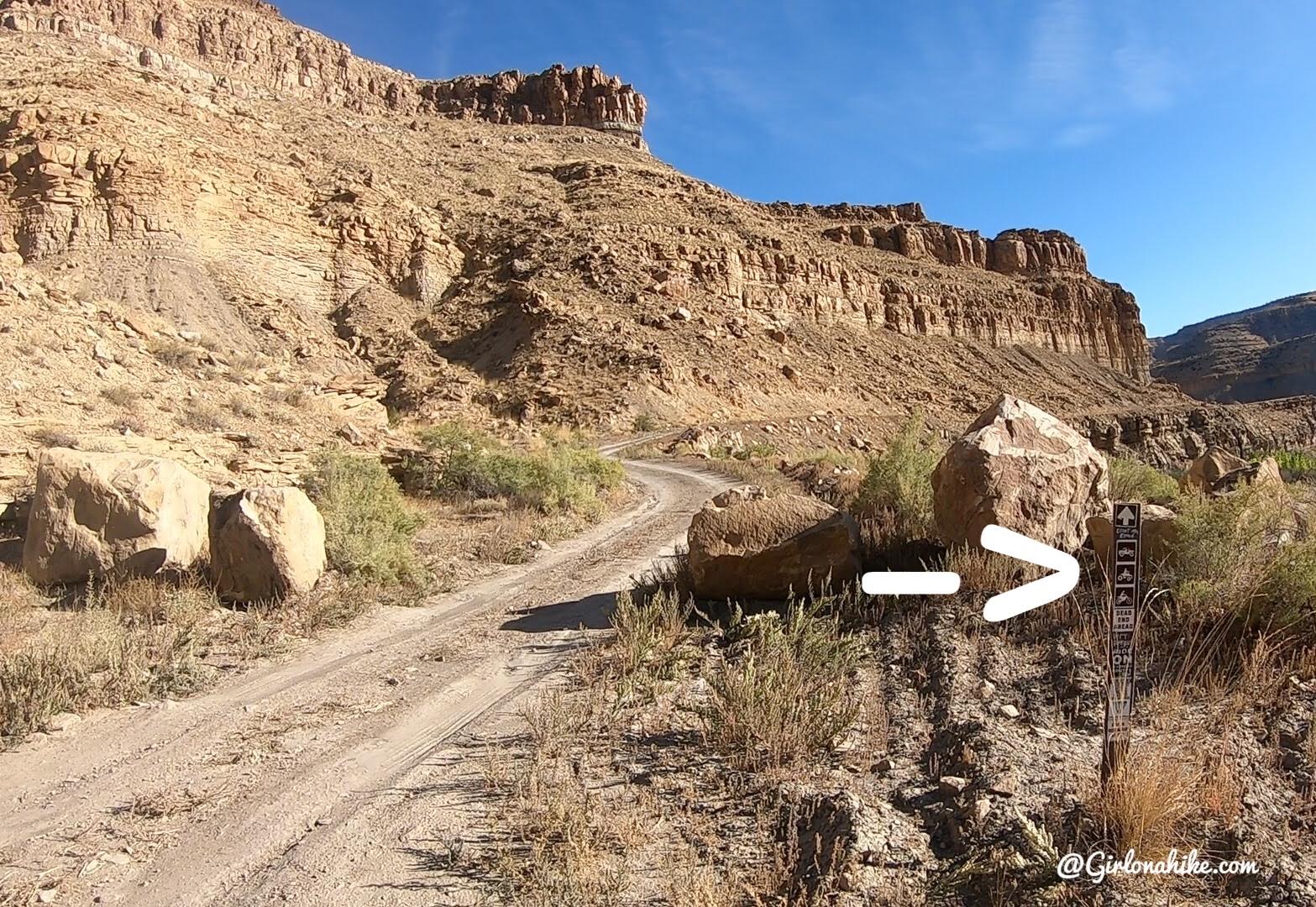
5.2 miles – road narrows with these four boulders and brown sign off to the right. If you have a small car, you’ll want to park here and walk the rest of the way. This would make the hike closer to 20 miles RT.
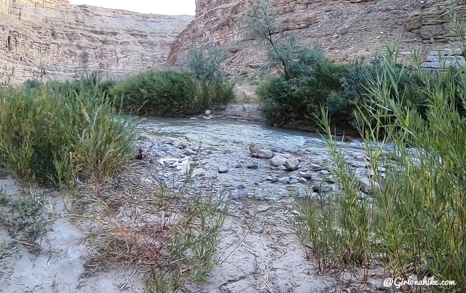
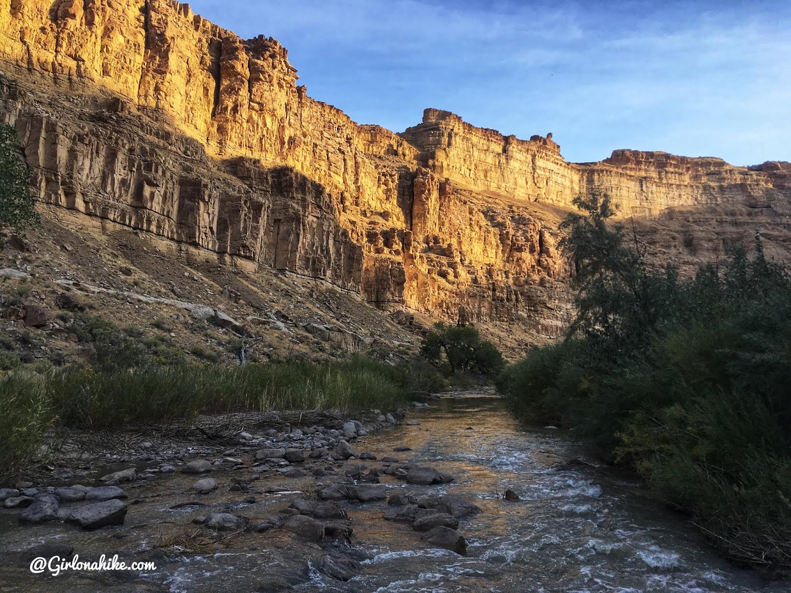
At 7.9 miles, reach the Price River. Only ATVs and dirt bikes can drive through the river. Even in early October the water level in this section was about thigh deep. (This is why we hiked across up stream about 20 feet).
Trail Info
Distance: 16 miles RT
Elevation gain: 2,842 ft
Time: 6-9 hours
Dog friendly? Yes, off leash
Kid friendly? No
Fees/Permits? None
Trail Overview
Although the hike follows a jeep road, the scenery and summit views make it well worth the effort. The route is mostly straightforward, but long and exposed.
Bonus Tip:
If you have an ATV or dirt bike, you can significantly shorten the hike. With motorized access, it’s only about 0.5 miles to the summit.
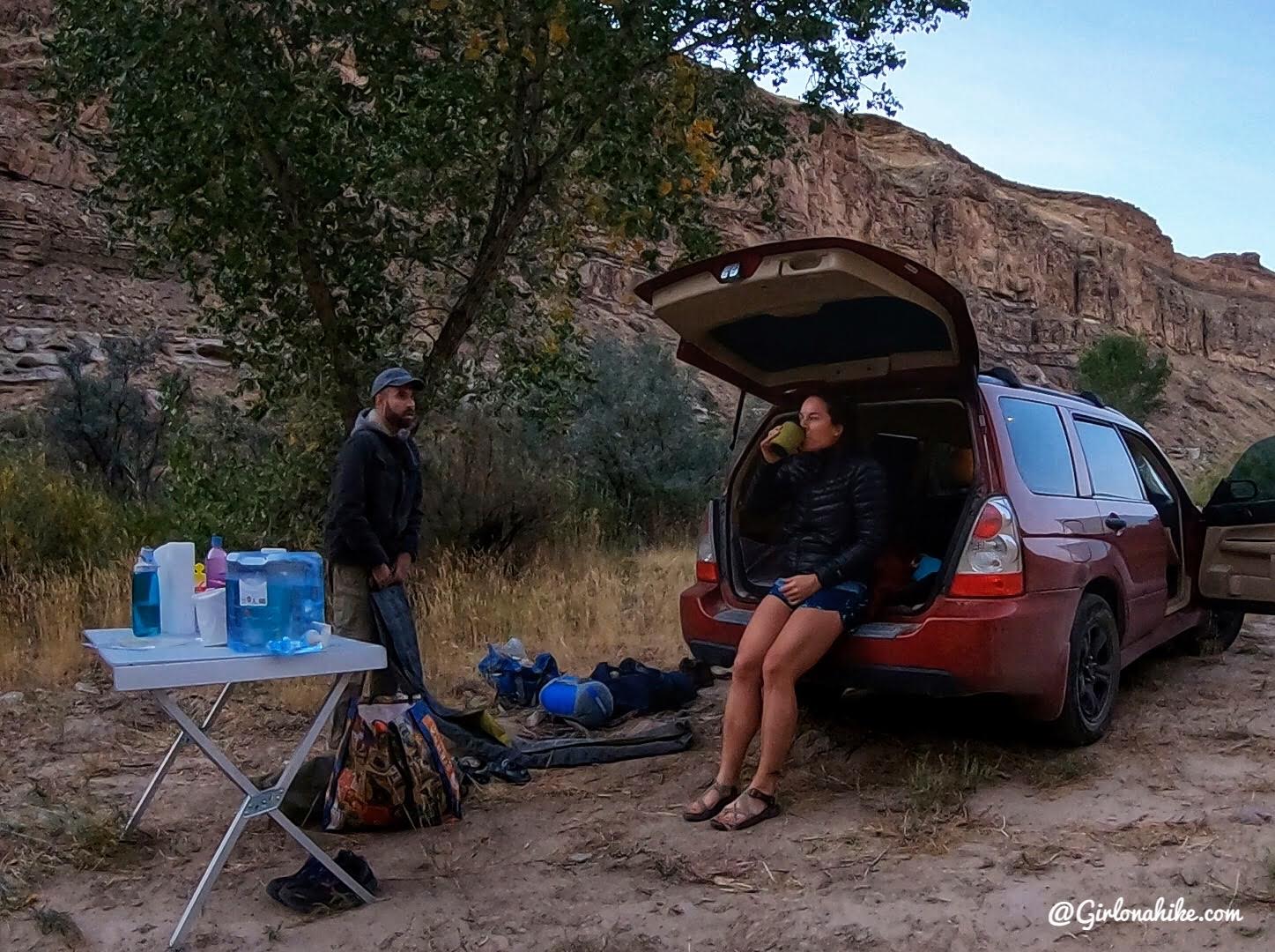
Camping at the end of the road. Cold in the morning, but it warmed up to about 63F. Perfect temps for this hike.
Creek Crossing
Wow, that light!
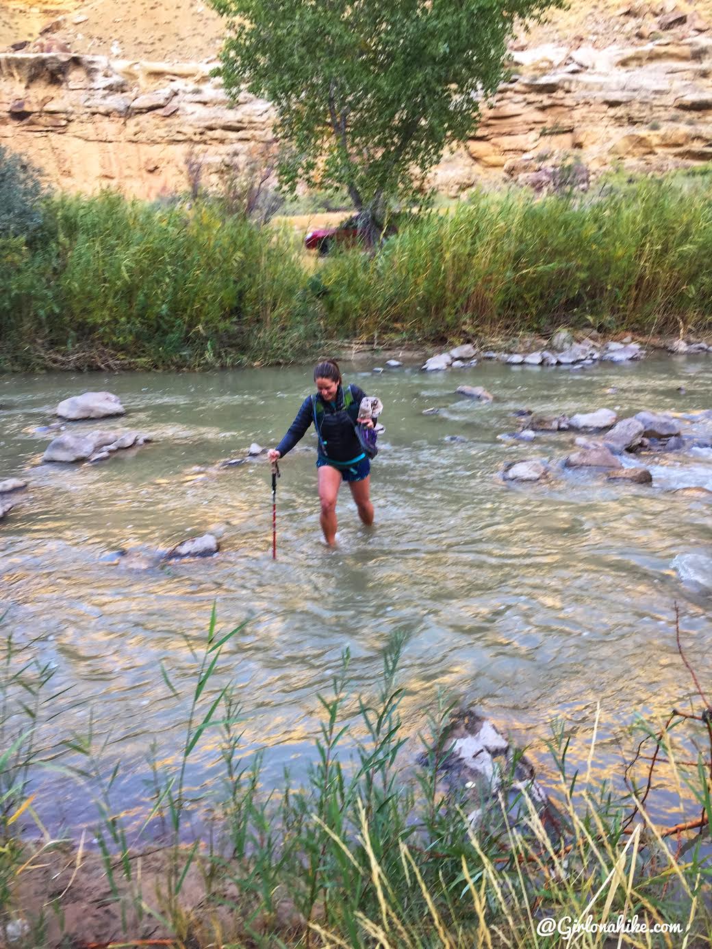
Crossing the river was COLD! We carried out hiking shoes and a towel across the river so that we could immediately change into our hiking shoes. We stashed our Chacos in some bushes so we didn’t have to carry them the entire hike. Having a trekking pole was helpful to gauge the water depth. We didn’t cross right where the ATV road goes across because it looked deeper, so we crossed about 15 feet up river from that and tried to stay on rocks. The water is very opaque and murky, and the mud is extremely sloppy. Don’t be surprised if you fall in up to your knees or more, but also don’t wear flip flops!
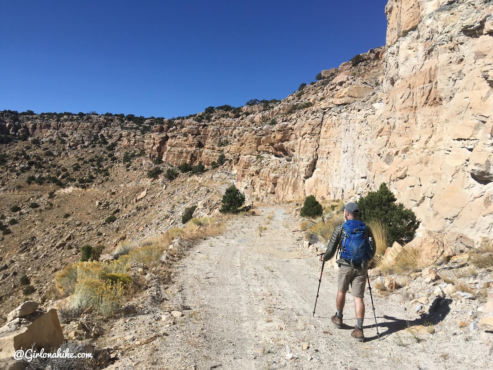
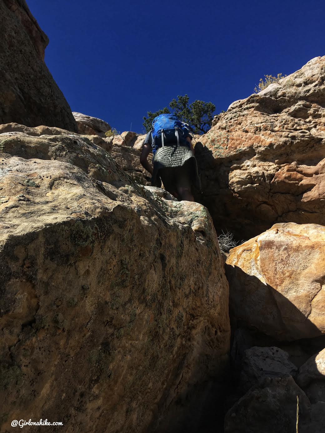
On the ATV Road
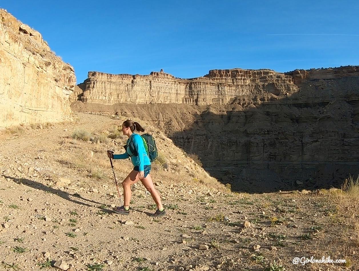
Now the easy part begins – just follow the road up around the north end of a butress.
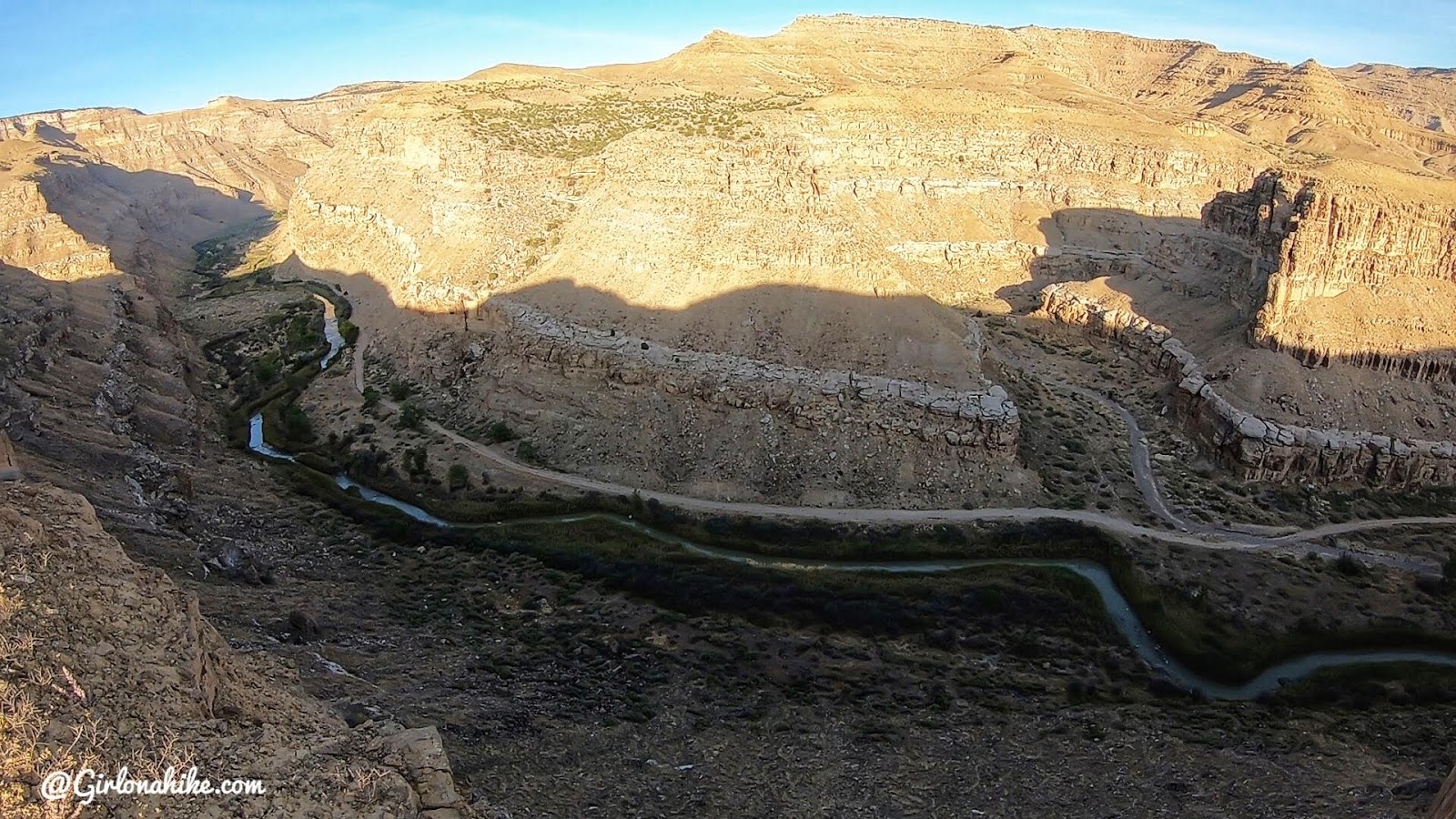
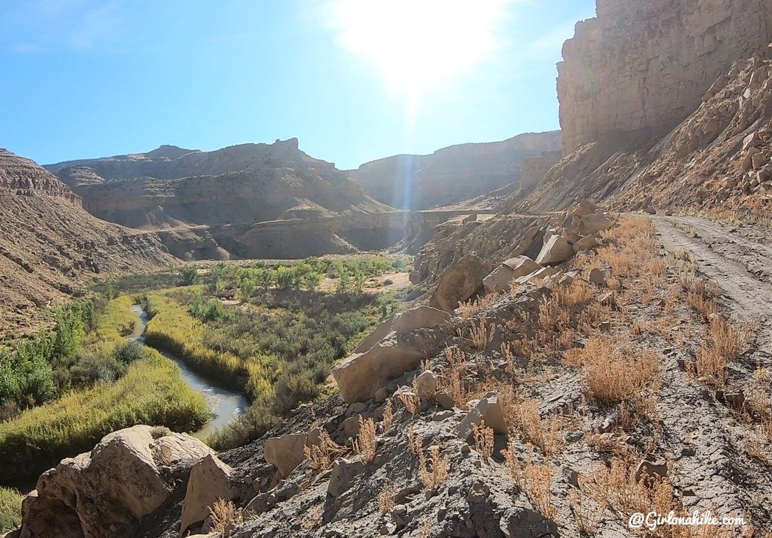
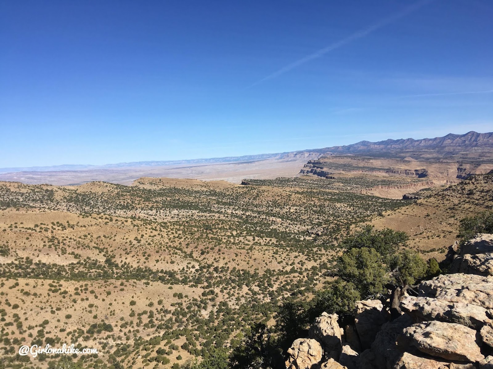
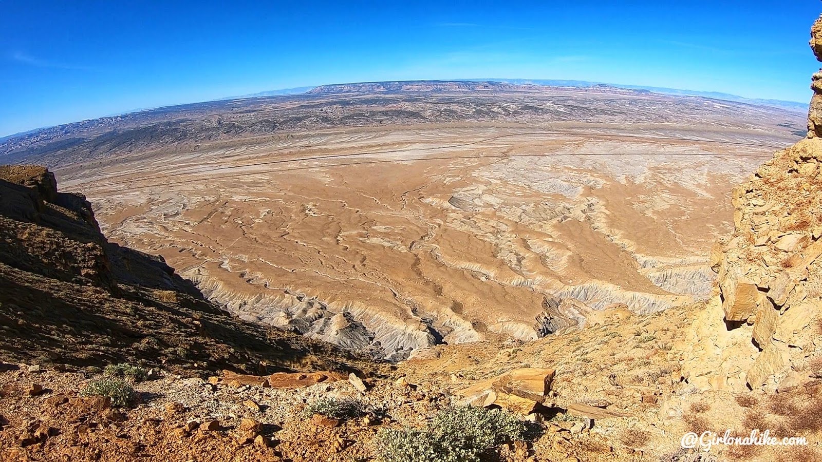
The road gets near the edge, and its pretty cool to look down and see the Price River from above. That road is the one you should have driven in on.
Views in the other directions – almost looks like the Grand Canyon or The Wedge!
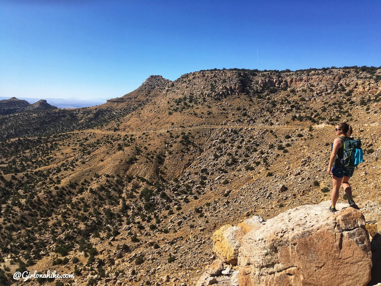
At 3.3 miles, we had our first sighting of Mt.Elliott! Only 4.5 miles to go!
We took a break to apply sunblock. Even though it was only 60F, we knew we would get fried being in the sun all day this time of year in Southern Utah. I stopped to look over another ledge and the wind was whipping!
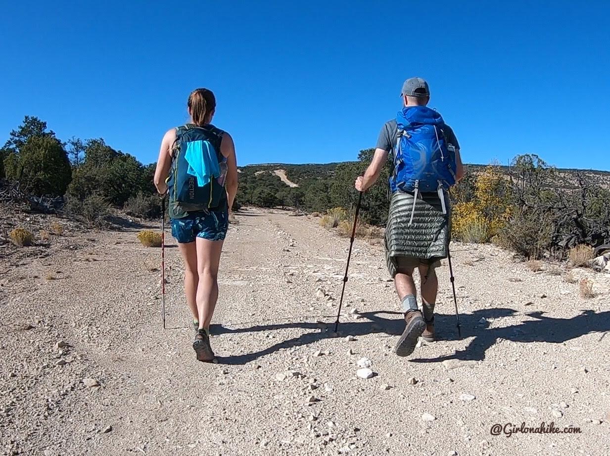
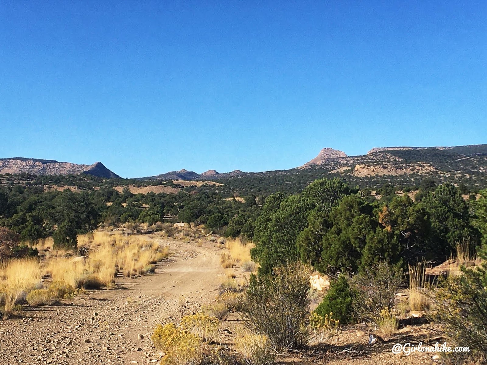
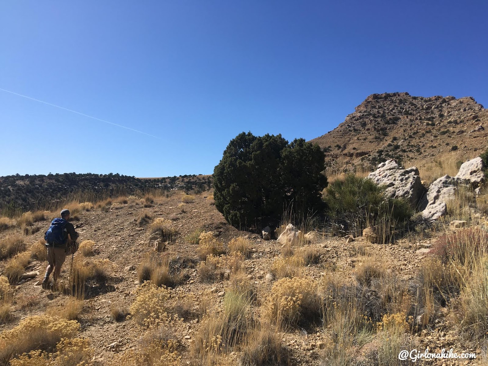
What most of the “hike” looks like – a long, lonely road.
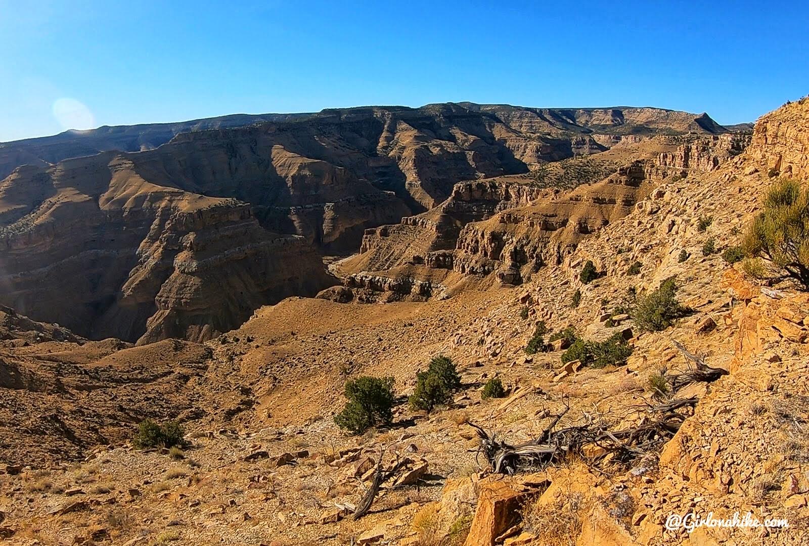
Getting a better view of the Book Cliffs.
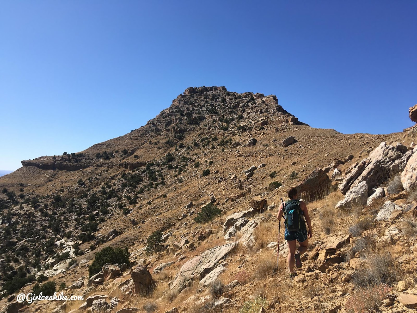
First Sighting of Mt.Elliot
We were so close to our destination now! We knew we would have to leave the road, and this gave us a good look where we wanted to do that. Basically, we hiked to where the ridge in front comes down to meet the road, then hiked up from there. Keep reading.
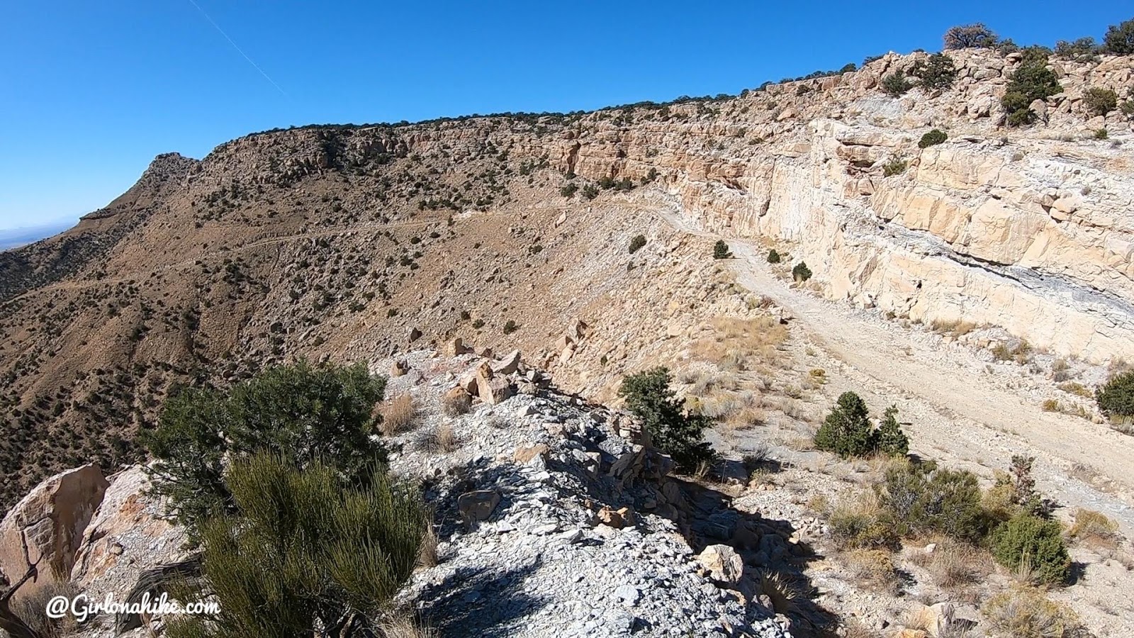
The last mile of road hiking.
In case you’ve been wondering, all these roads were built back in the 1970s for oil exploration! Not much came out of the expensive project, but it did lead to easier access for exploring this terrain.
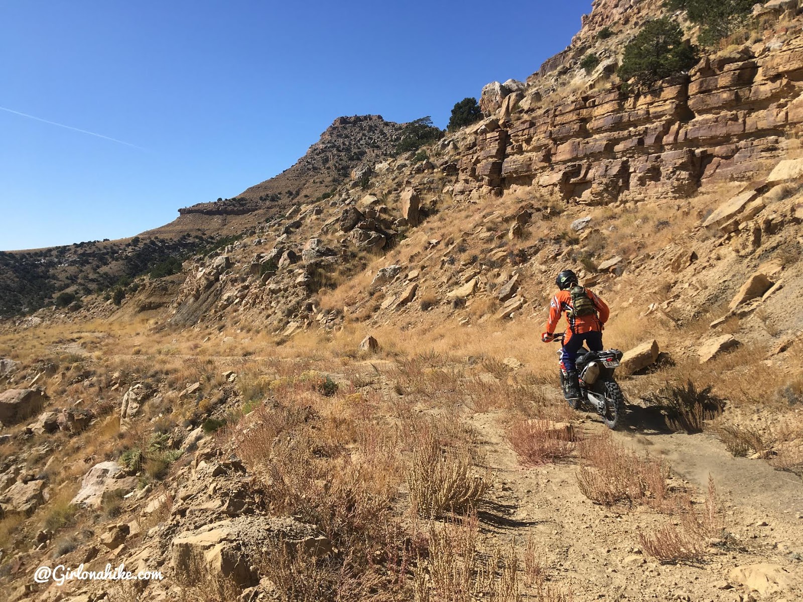
The one person we saw all day was a single dirt biker. We chatted for a few minutes and he asked us what we were doing “all the way out here”. I pointed to the peak and said, “We’re going there! Mt.Elliott!” And he kind of responded in an “oh that’s weird but interesting” tone haha! Only peak baggers would understand! He did tell us that it only took him about 30 minutes to reach that spot where we talked…it took us about 3.5 hours! He went on his way, and never saw him again.
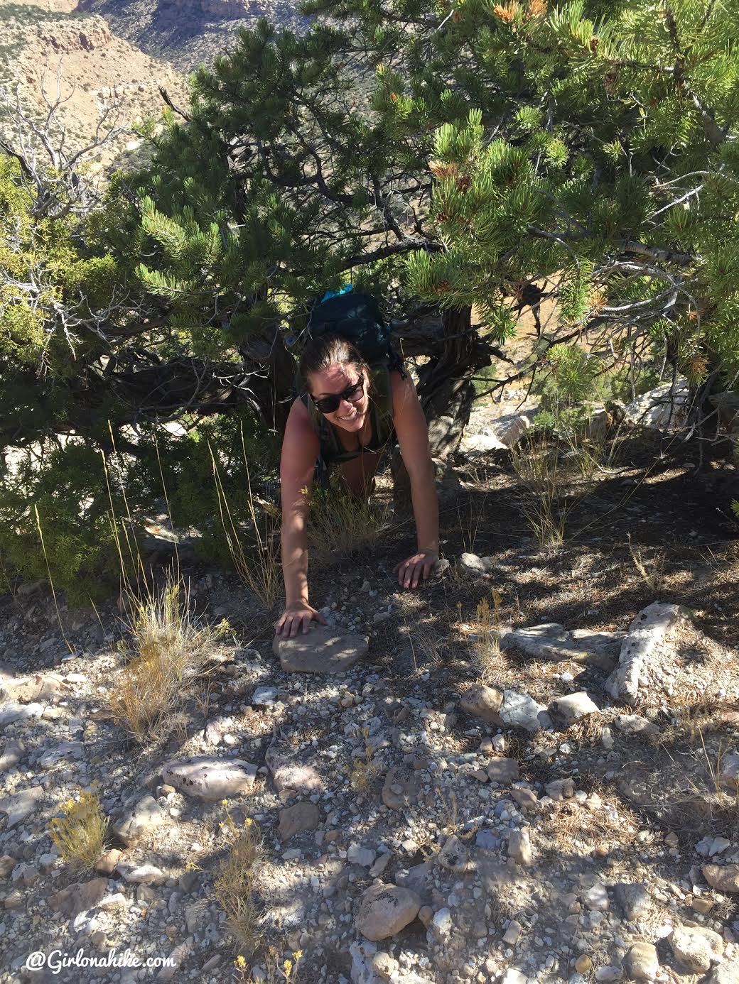
Hiking Off Trail to the Summit
Finally, after walking on the road for 7.3 miles it’s time to route find your way to the summit. You’ll see this large Juniper tree, and if you are tracking mileage you’ll know this is your turn.
You’ll be off trail now, but just aim for the saddle.
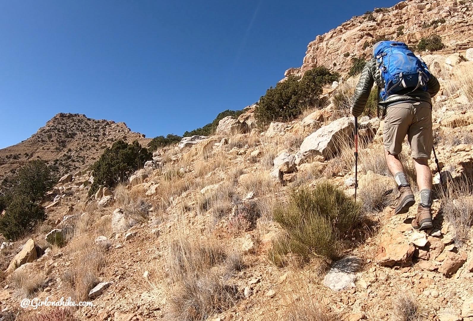
It’s not hard hiking this section, just a little steep.
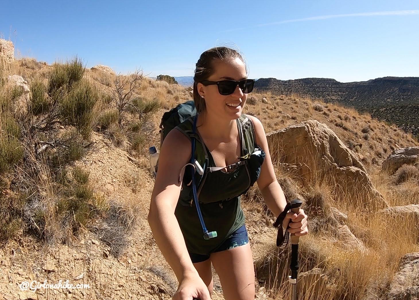
Still really happy to be outside all day! Who cares if I have to bushwhack a little!
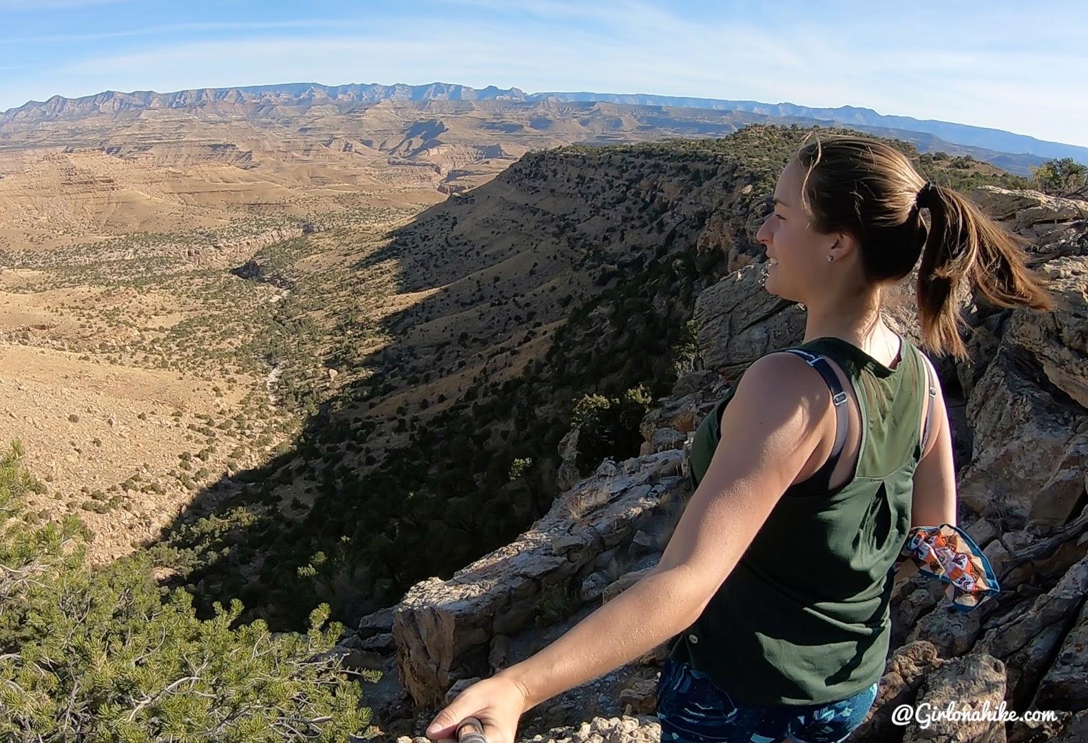
Mt.Elliott saddle! So cool to see the Swell and Highway 6 out there!
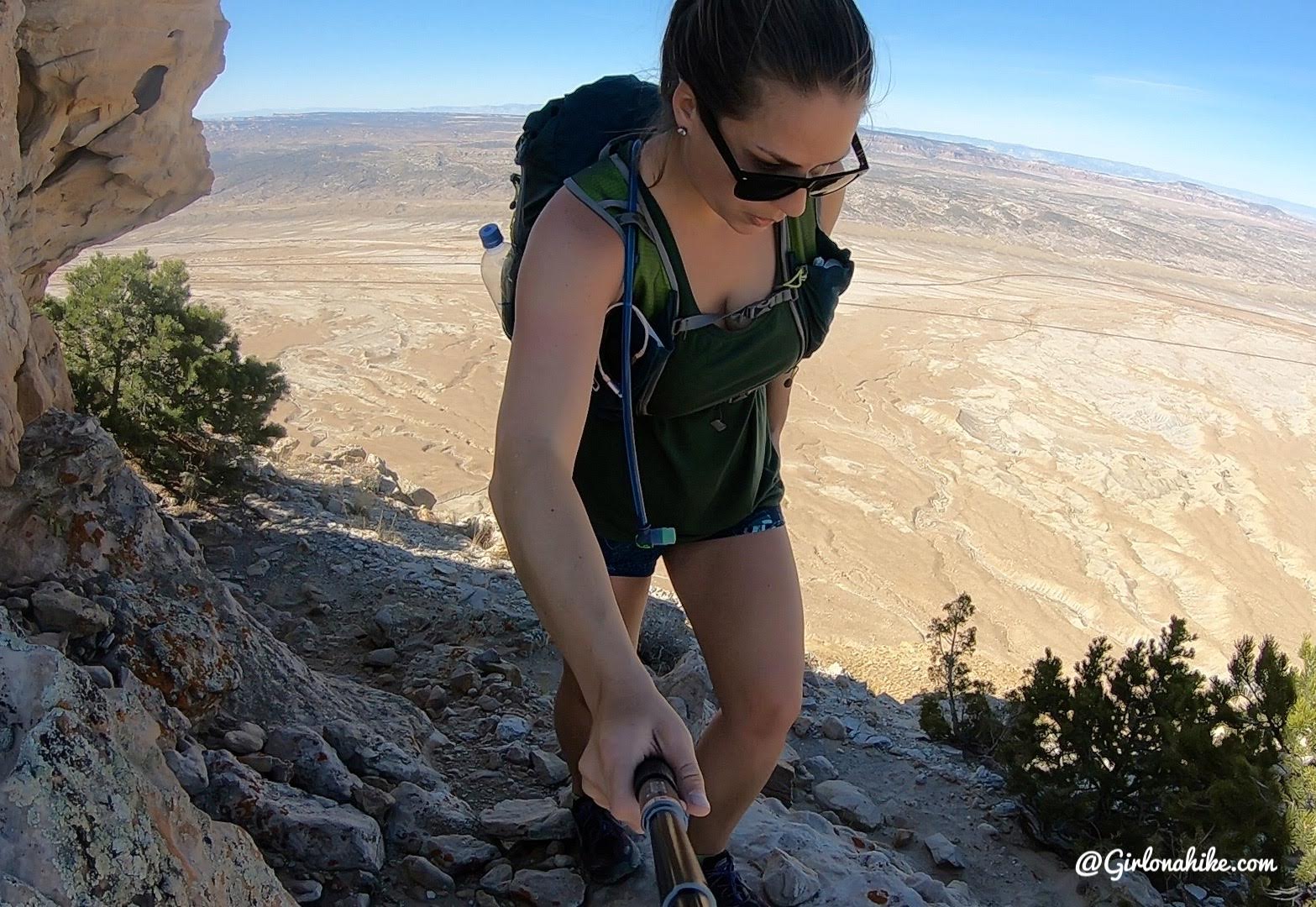
Final Push to the Summit
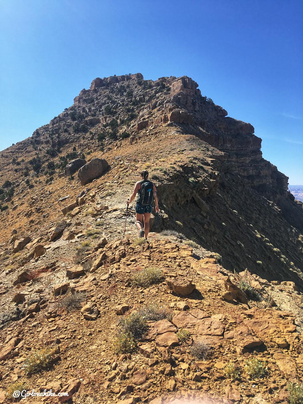
Keep following the ridge now.
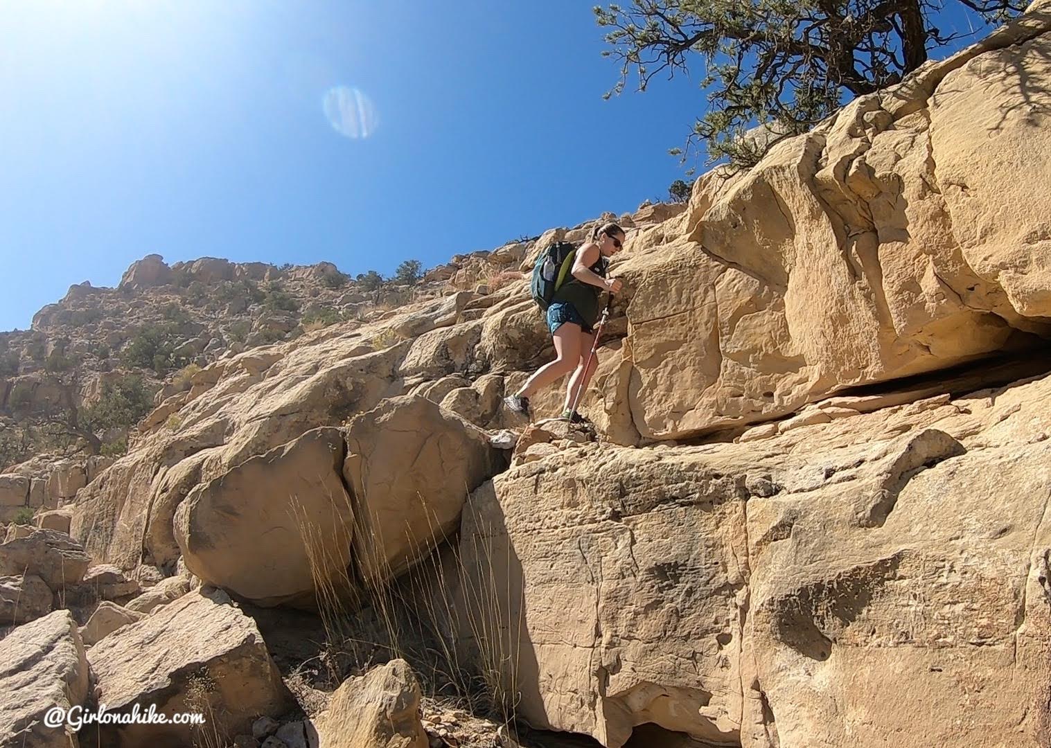
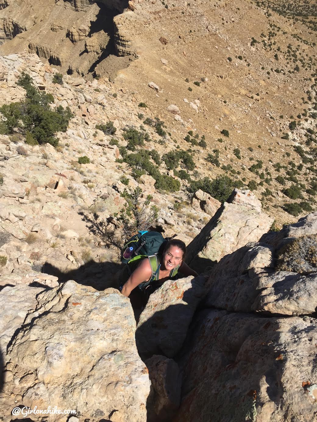
There is some class 2 scrambling, depending on what way you climb up. Staying exactly on the ridge is impossible since there are cliff bands you can’t climb up.
Now how did I end up here!? Wrong turn lol.
Getting higher now. It looks like the edge drops off behind me, but it was never scary or too narrow.
David leads us up another class 2 area.
Whew, only a little more scrambling.
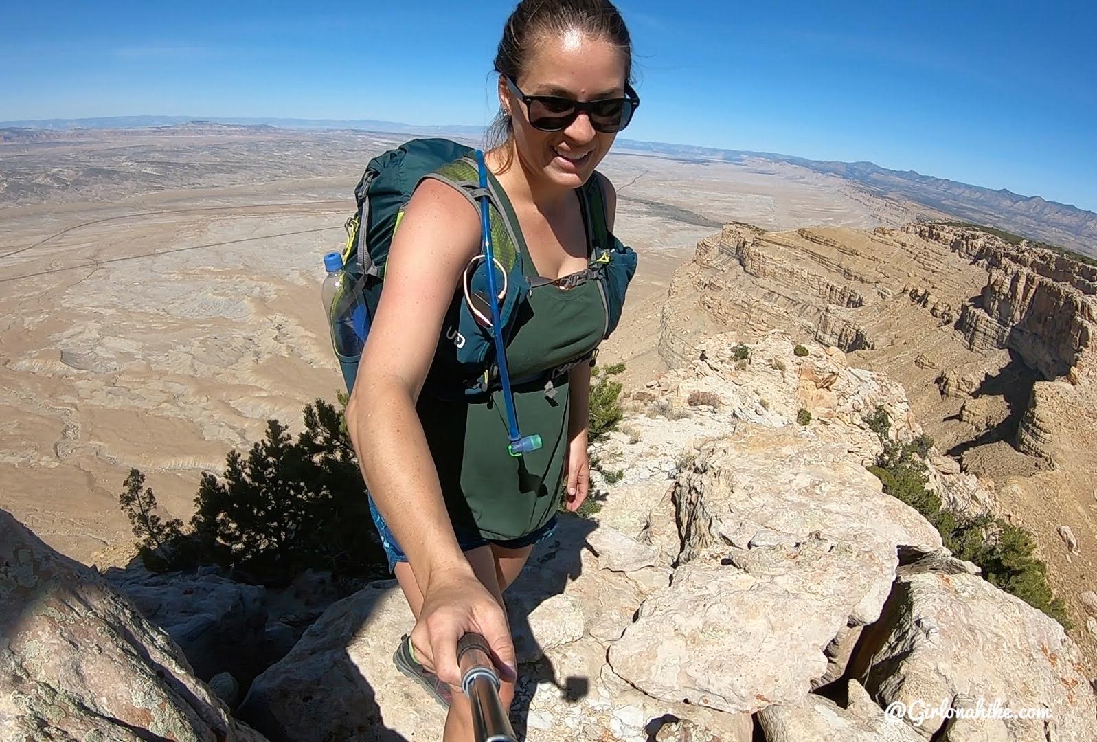
And finally, to reach the summit there is one class 3 move. It’s easy – we were both able to climb and and up by ourselves without help from each other.
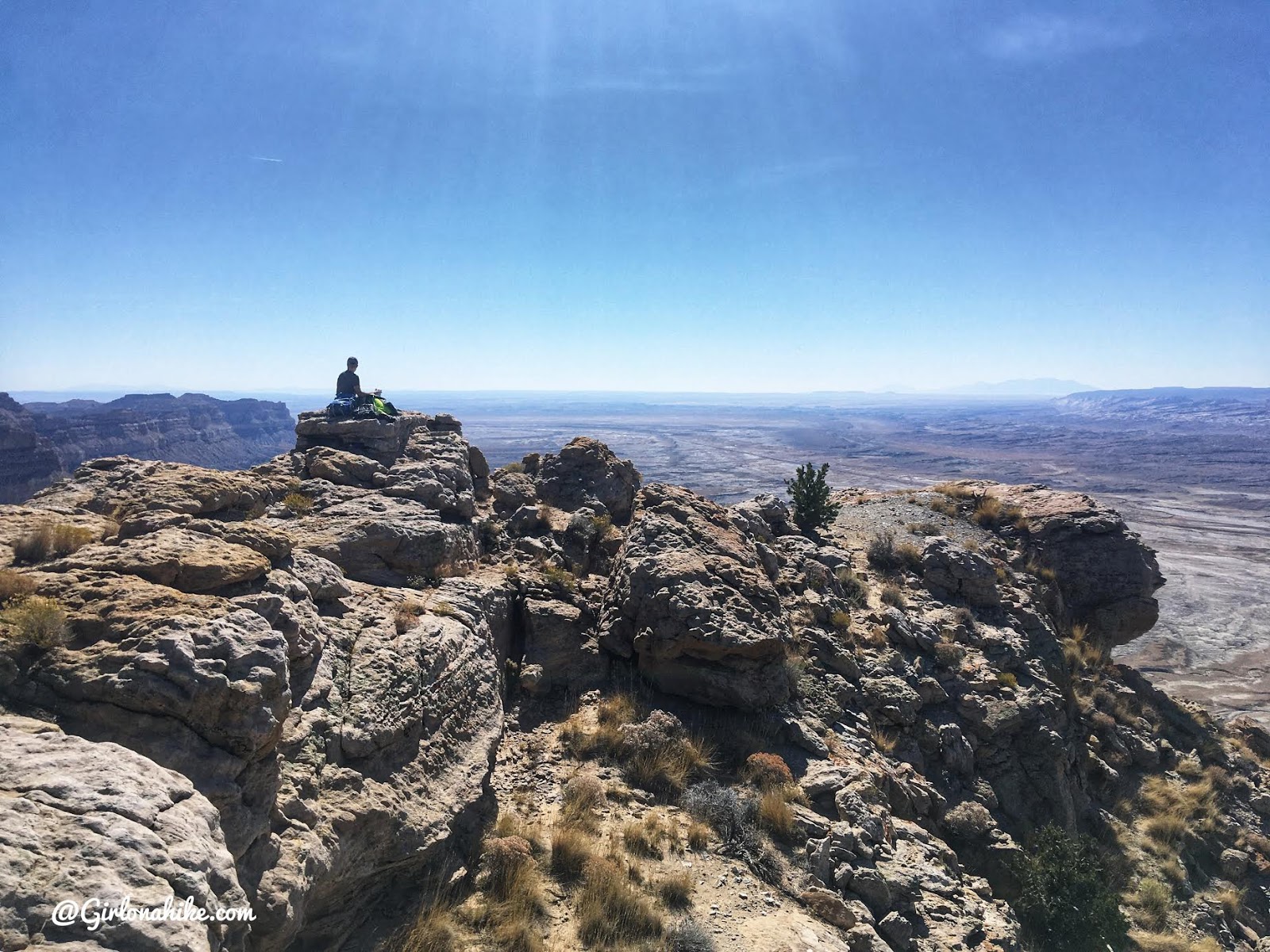
On the Top of Mt.Elliott
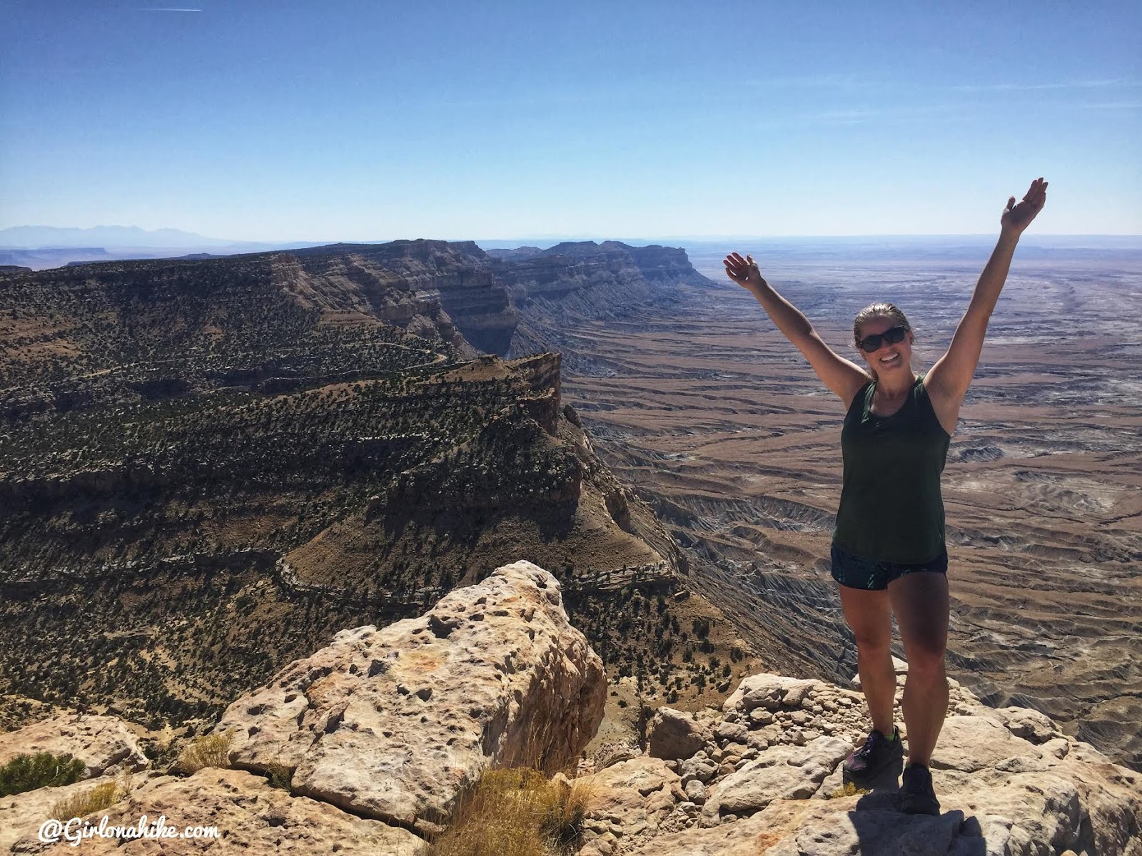
On the summit of Mt.Elliott, woot woot!
Time up: 4:15 hours
Time down: 2:25 hours
I was SO happy to finally check this peak off my list! I can’t believe I’ve been starting at it for YEARS and now I can say i’ve been up there.
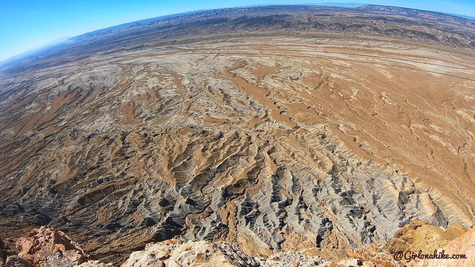
Looking down from the peak.
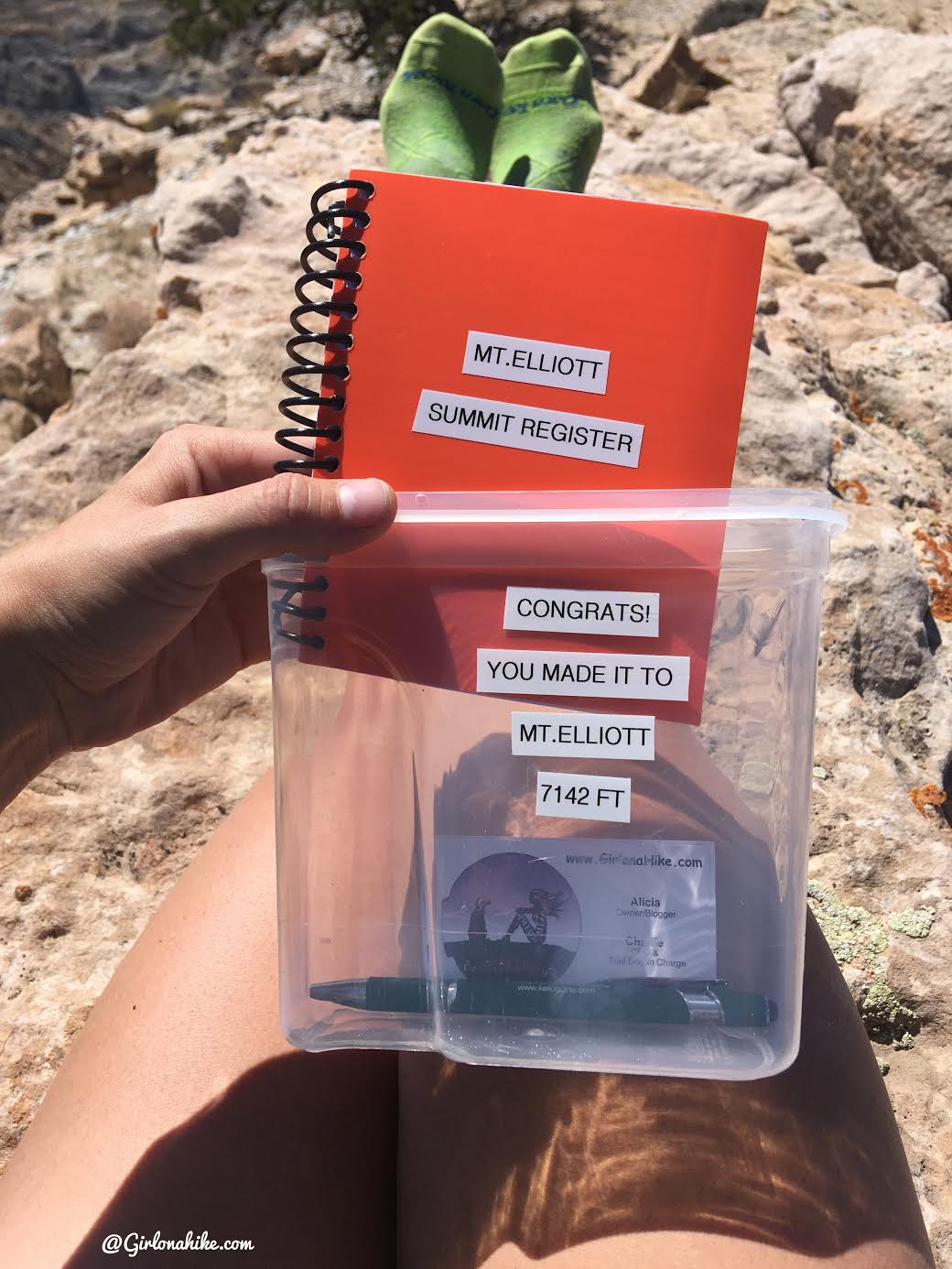
Fresh summit register!
We took a lunch break and enjoyed the views for about 45 minutes, then it was time to hike down.
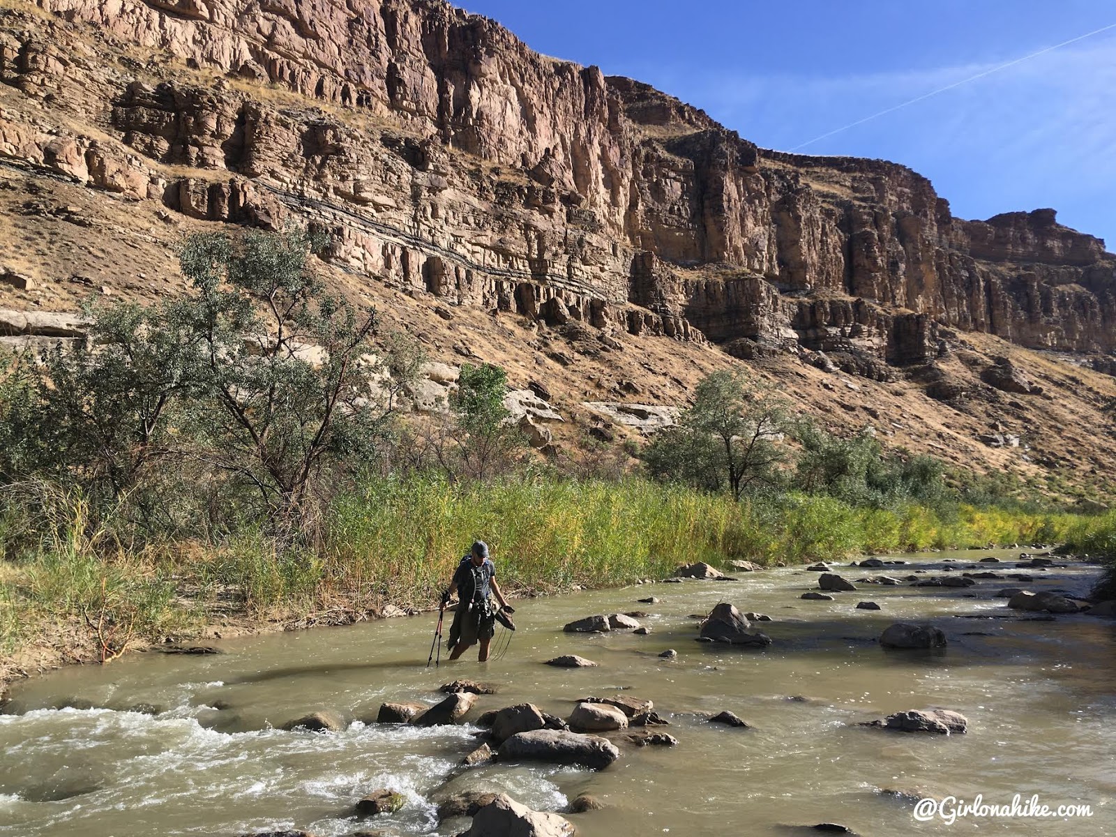
Crossing the Price River on the way back was super refreshing this time around!
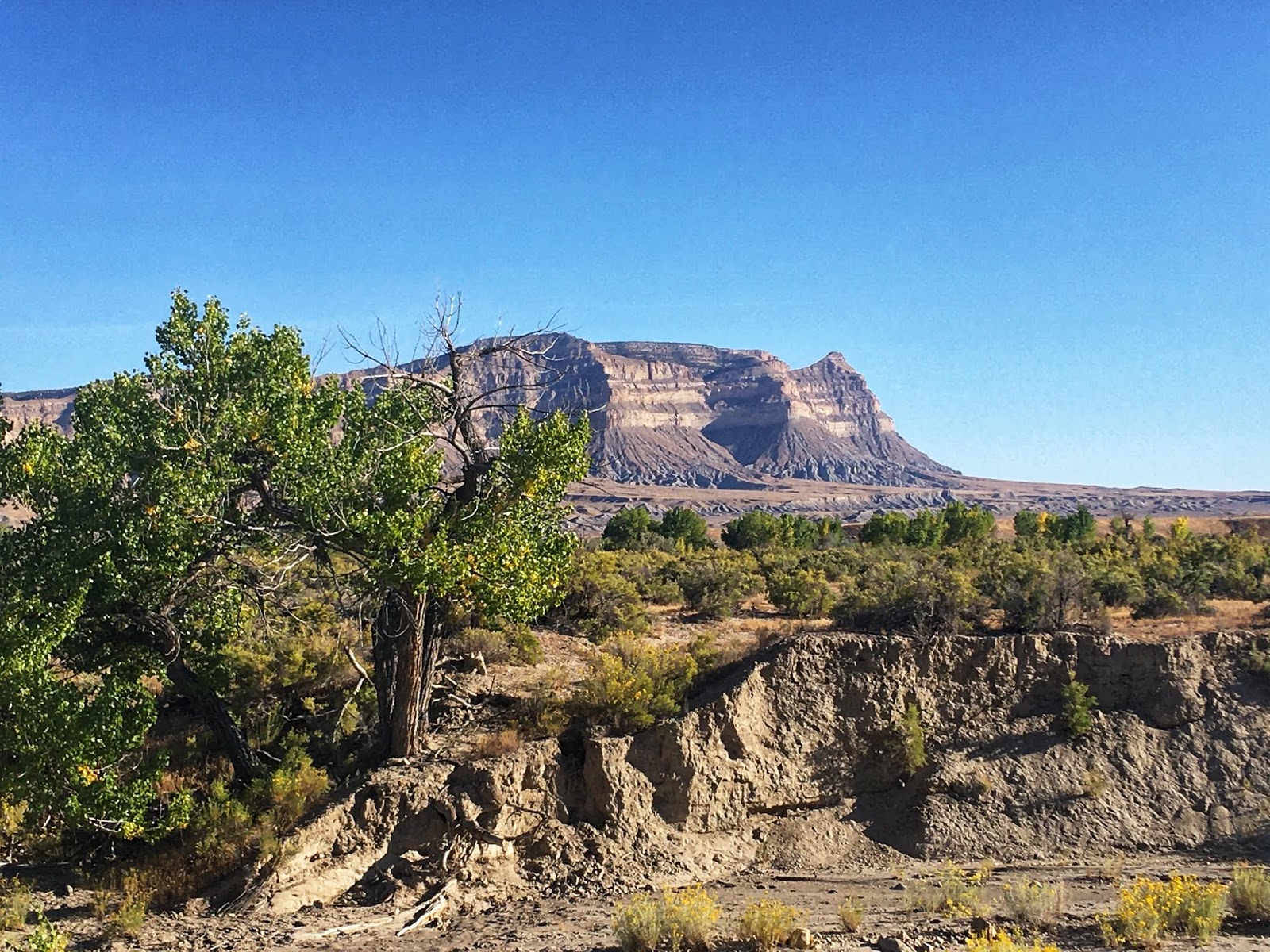
Mt.Elliott as seen from the dirt road turn off at mile post 278.
Mt.Elliot as seen from the Cottonwood Wash Road.
Check out my video!
Trail Map
My track via Gaia GPS – the best tracking app! Get your app here for a discount.
Nearby Hike
Camping & Exploring The Wedge Overlook

Save me on Pinterest!