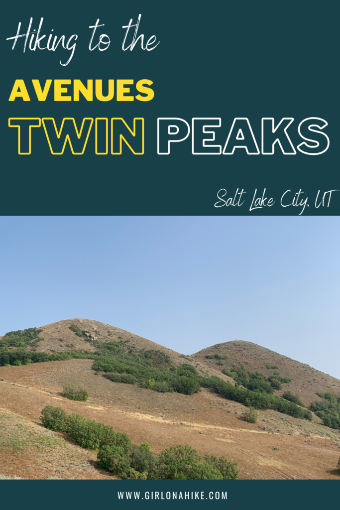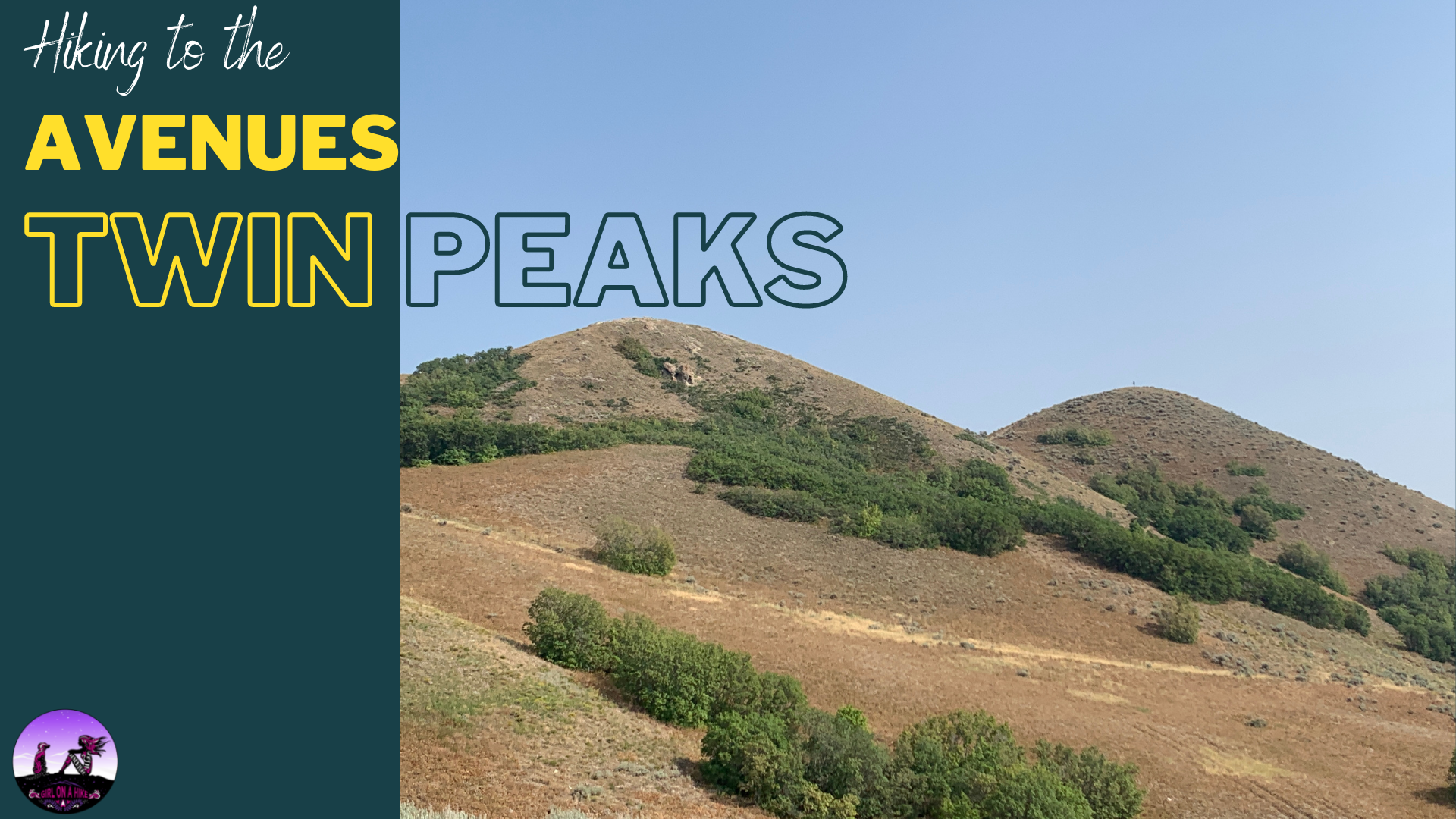
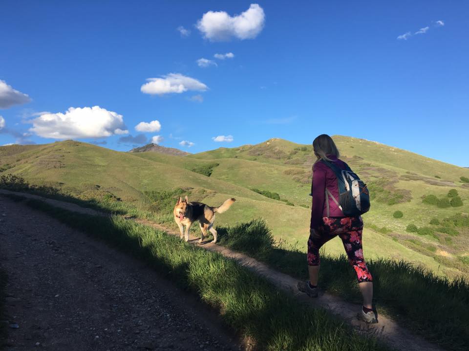
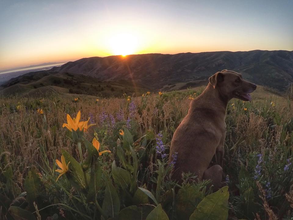
The Avenues Twin Peaks is another one of my go-to after work hikes. This hike is the most beautiful in Spring during Sunset, when the yellow flowers are blooming, the hills are green, and the temperature is just right; however this trail can be hiked year round. The Avenues Twin Peaks is almost always windy, so a light jacket is recommended. There is no water and no shade, and the trailhead is a popular spot for mountain bikers to depart on their ride.
The Avenues Twin Peaks is a great hike for beginners, families, dogs, or those looking for a quick hike. This trail is apart of the Bonneville Shoreline Trail (BST as us locals call it), and therefore dogs are technically supposed to be on leash but nobody does. This is a great spot to bring a blanket, a beer or wine, and sit and enjoy the sunset.
Directions
In SLC, head north on 700 East. Turn left on S Temple, then immediately turn right on I St. Then, turn right on 13th Ave, and veer left onto Northcrest Drive. Turn left again on Terrace Hills Drive, and drive to the end of the cul-de-sac. There are two trailheads here, take the one to the East (right). This trail starts in a neighborhood (1036 Terrace Hills Dr), so there is only street parking. No restrooms are available. Here is a driving map.
Trail Info
Distance: 3.2 miles RT
Elevation gain: 1100 ft
Time: 2-3 hours
Dog friendly?
Yes, dogs are technically supposed to be on leash but nobody does
Kid friendly? Yes
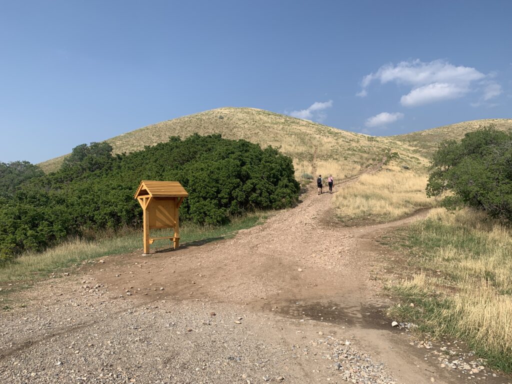
Official TH, leading East.
Once you get to the first 4-way intersection, continue straight, and you should be able to see Twin Peaks in view, above my friends head.
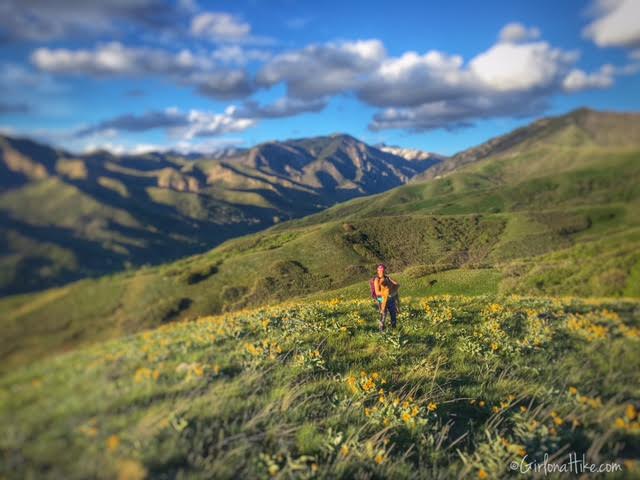
At the next intersection, follow the trail leading up to the ridge. You will have this amazing view of Little Black Mountain to the right in this photo and City Creek Canyon to the left.
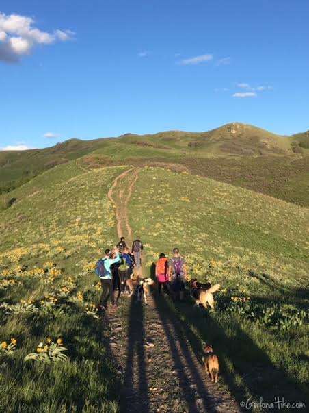
Once on the ridge, continue following the BST East, toward Twin Peaks.
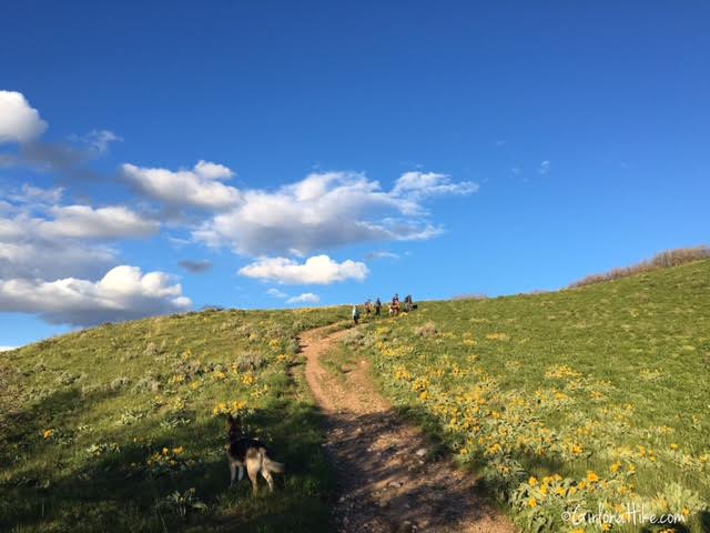
There is only one steep section, which is just before the turn off for Twin Peaks.
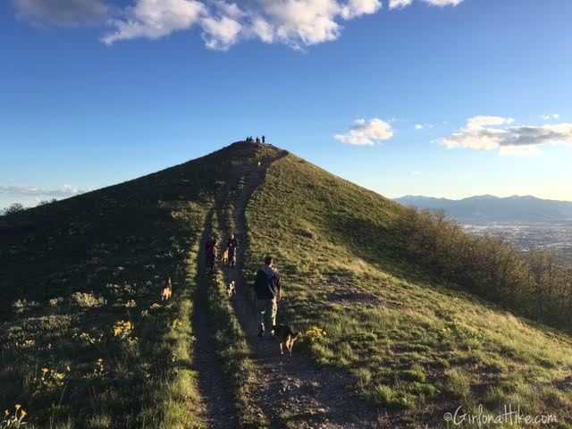
Turn right at the top of the steep hill to summit the Avenues Twin Peaks.
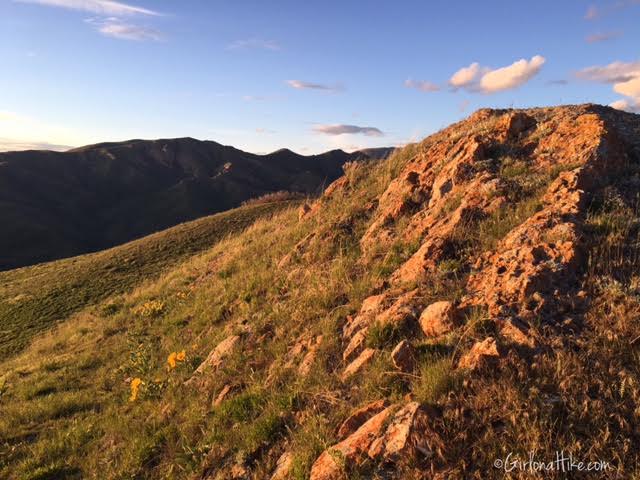
The evening glow was really beautiful against this rocky area.
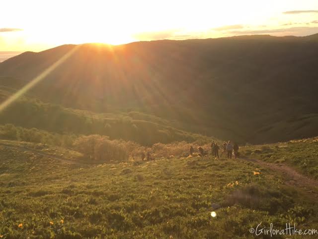
Walking back down the trail, as the sun is setting.

December 2017
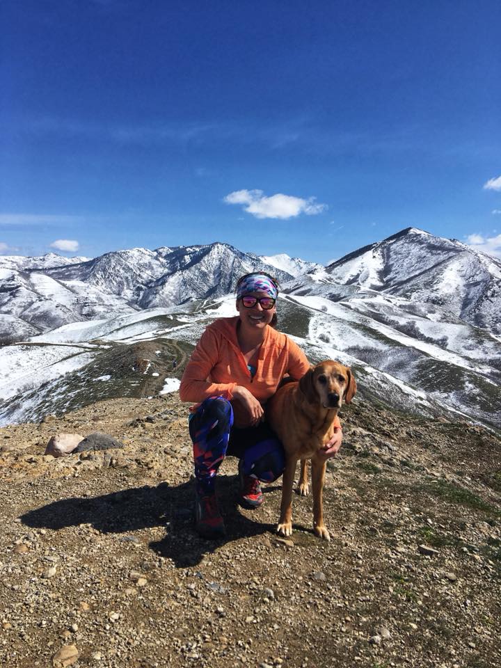
April 2018
Trail Map
My track via Gaia GPS – the best tracking app! Get your app here for a discount.
Nearby Hike
Hiking to Matt’s Arch 7 Meridian Peak

Save me on Pinterest!
