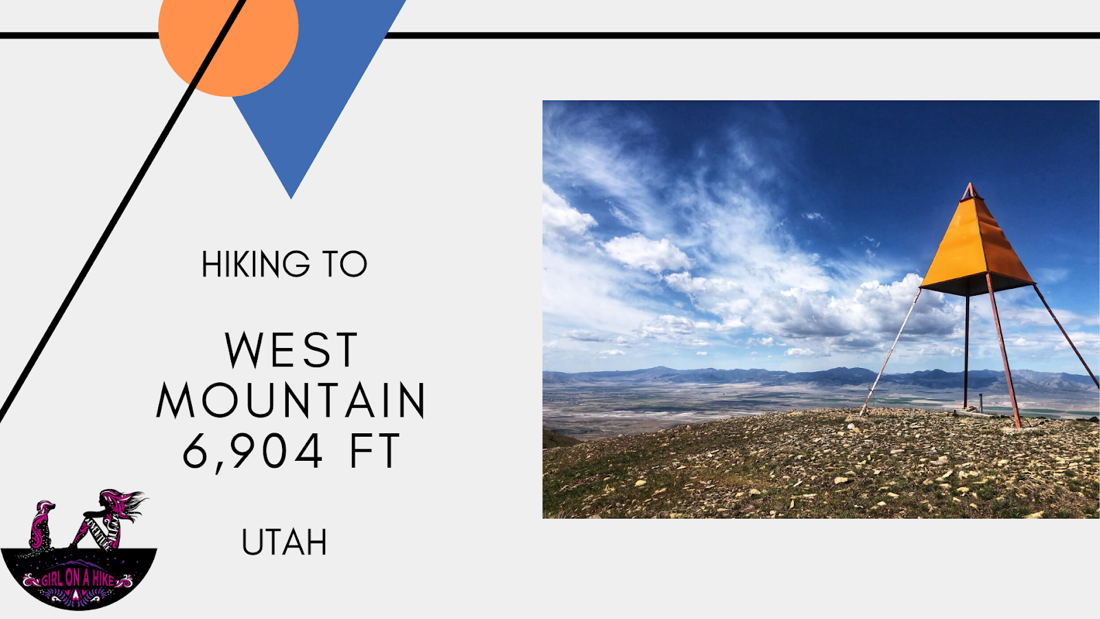
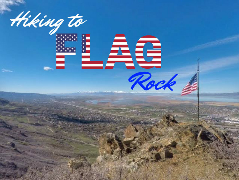
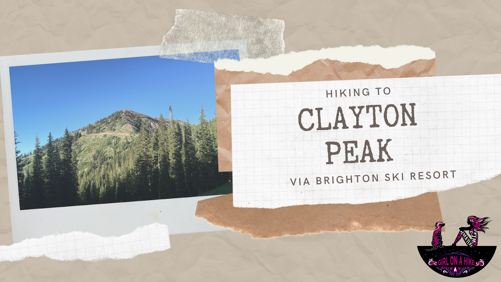
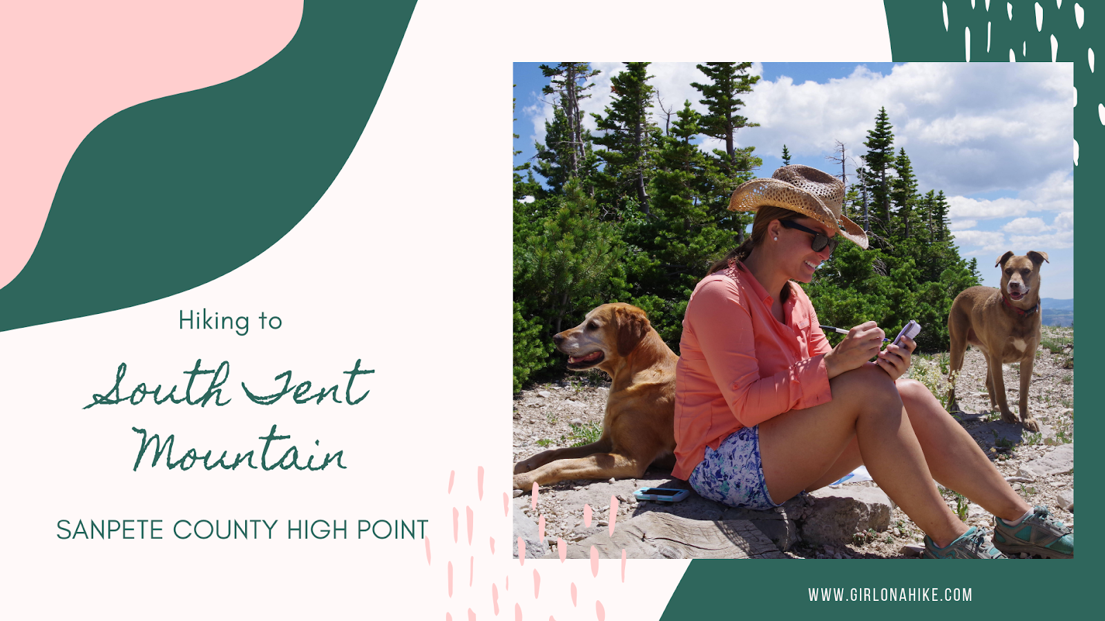
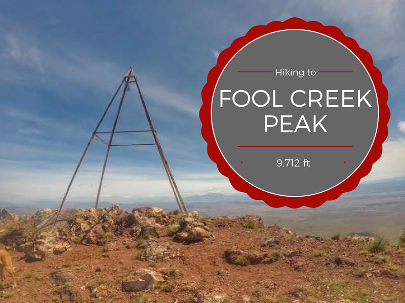
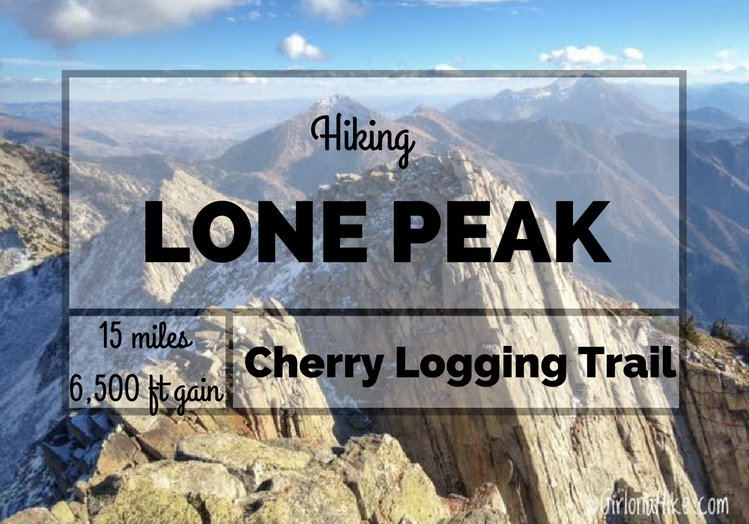
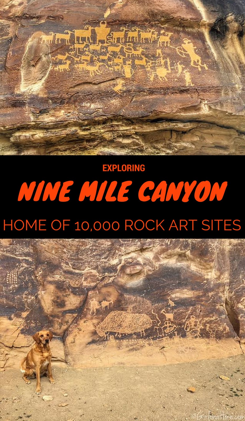
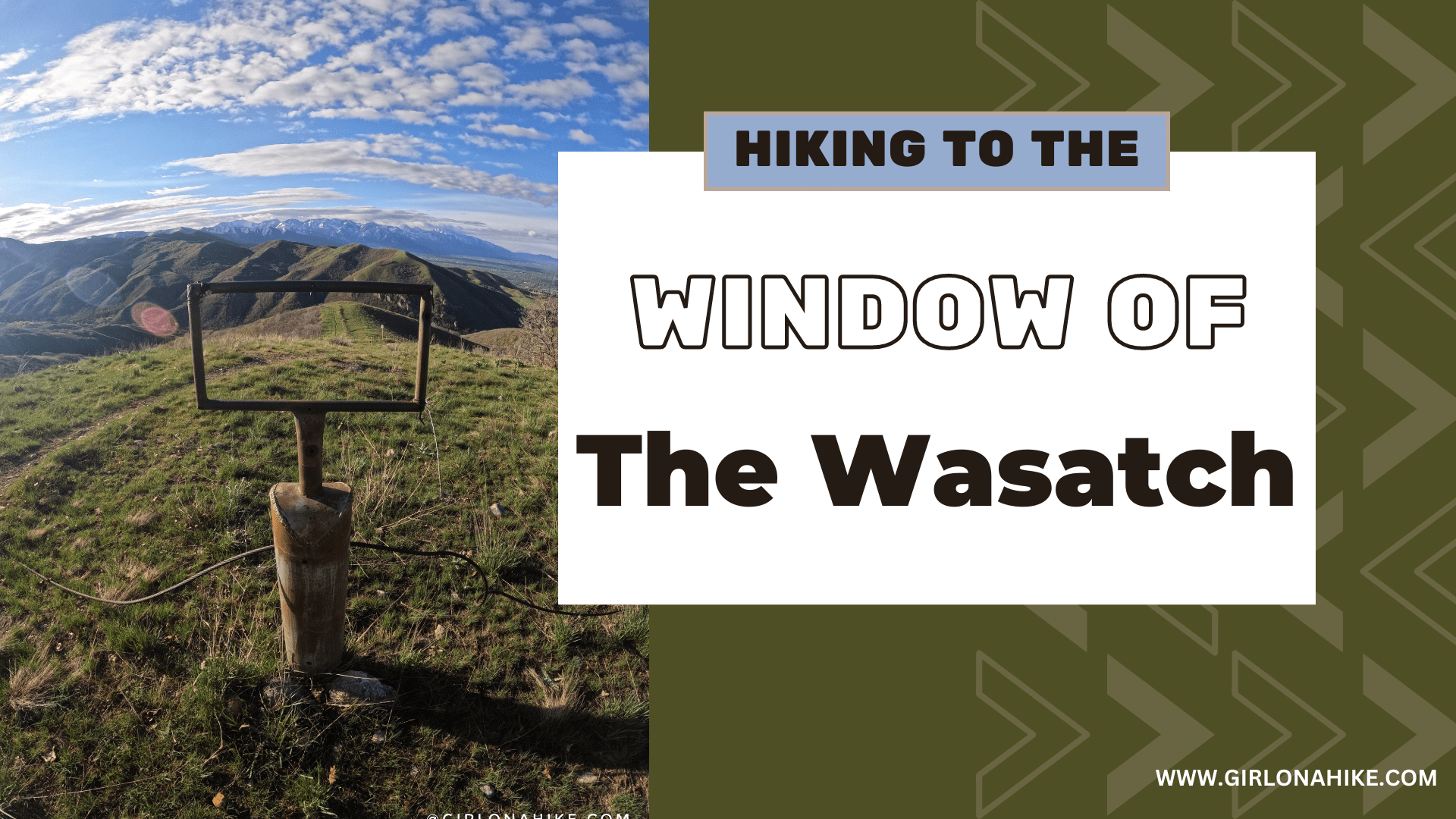
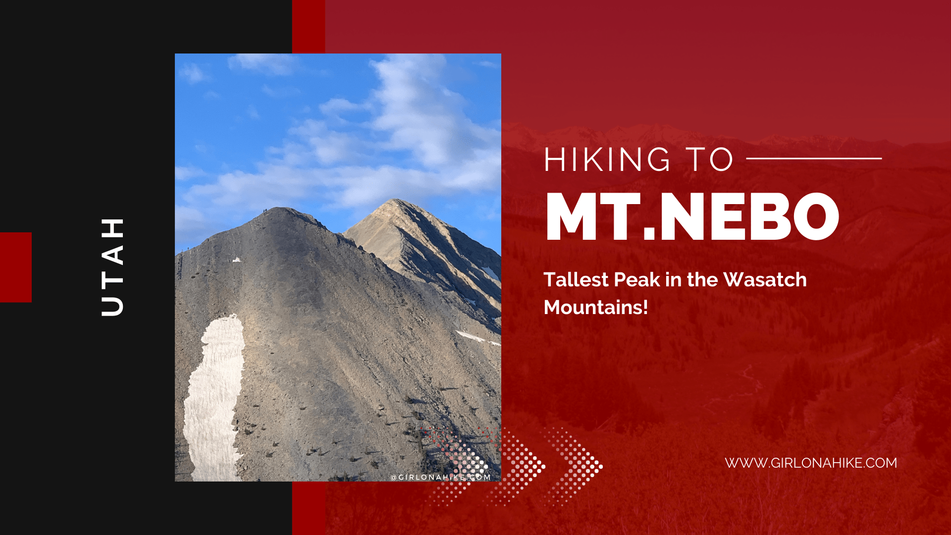
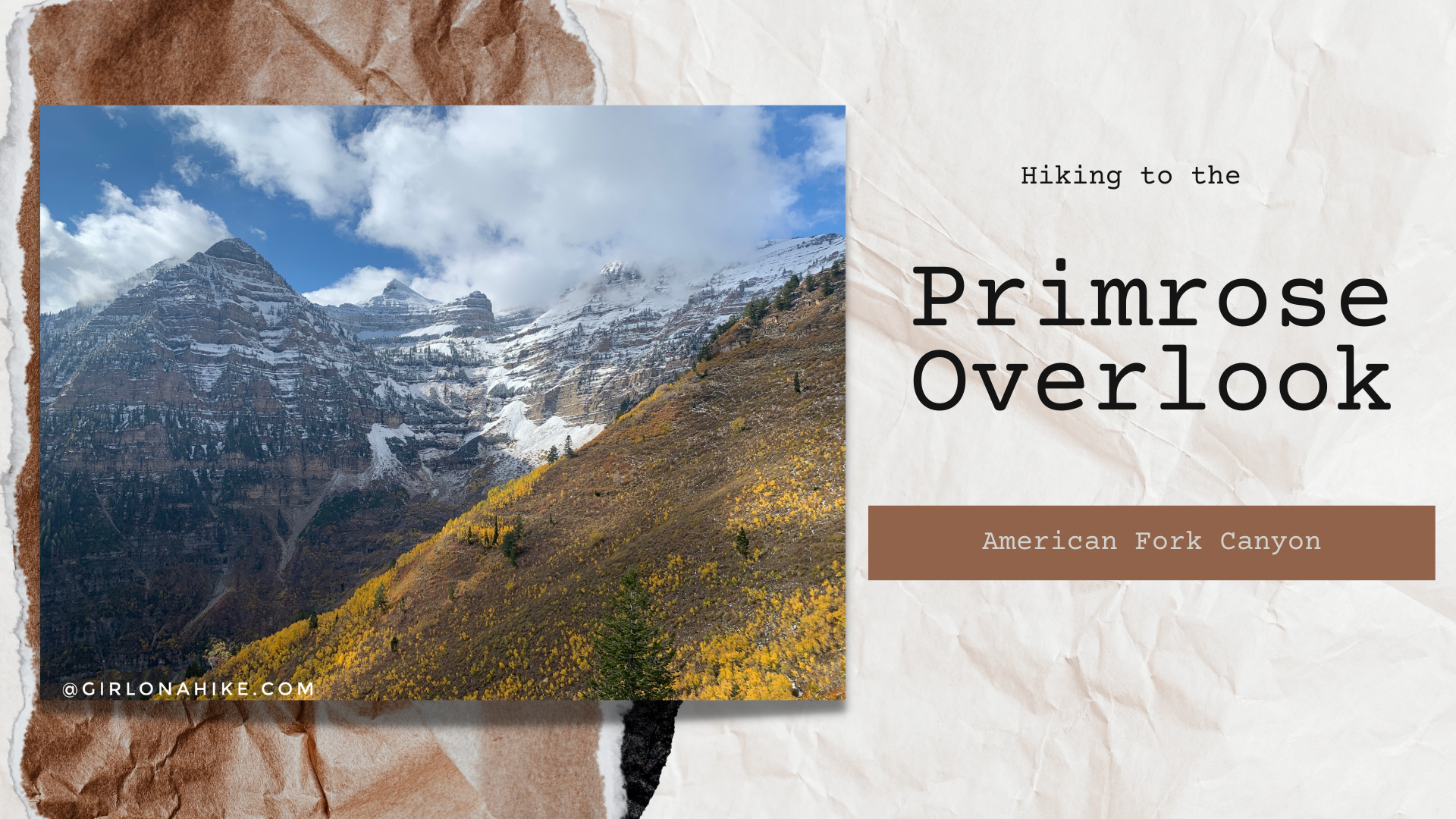
Hiking to Thurston Peak
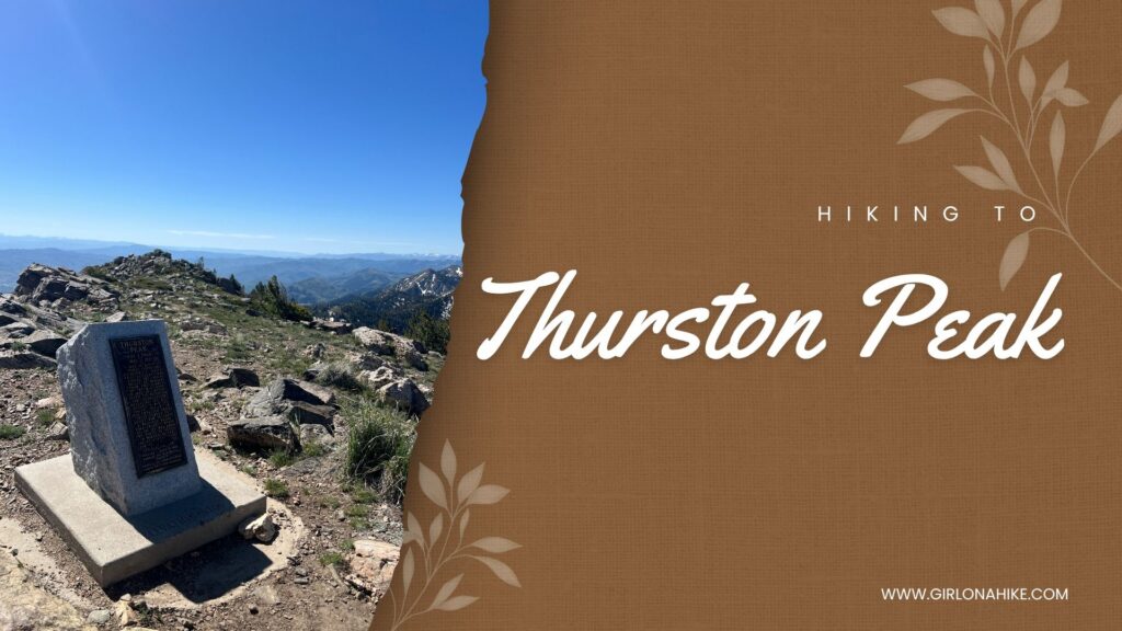
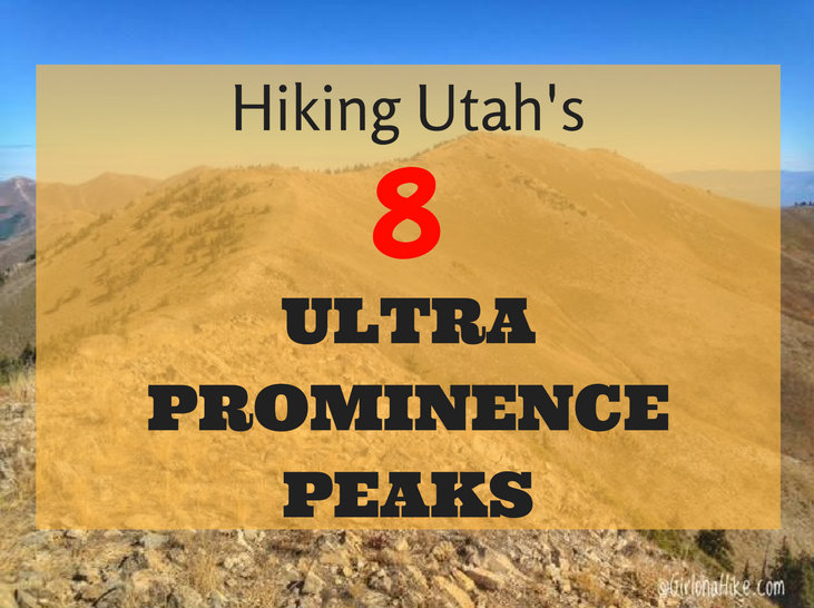
Thurston Peak (9,706 ft) is the highest point in both Davis County and Morgan County, Utah. Located along the Wasatch Mountains, this scenic summit is often overlooked because nearby Francis Peak is topped with the large white radar domes that dominate the ridgeline. However, it is Thurston Peak that claims the true high point.


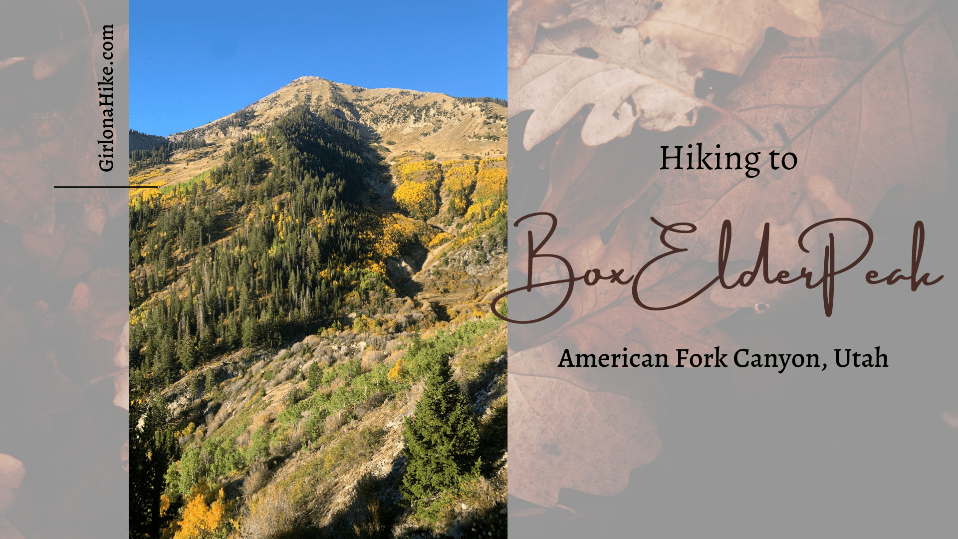
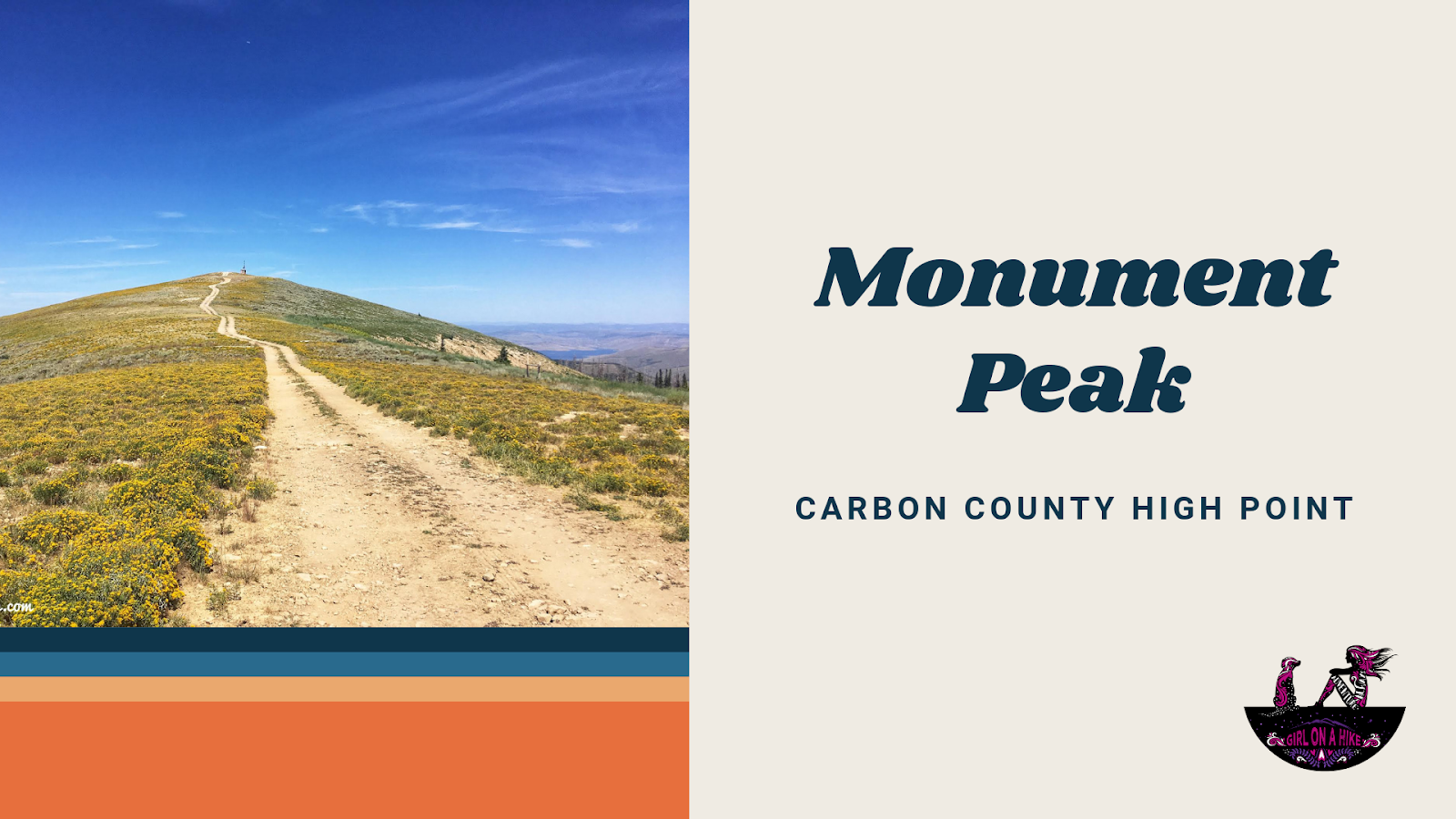
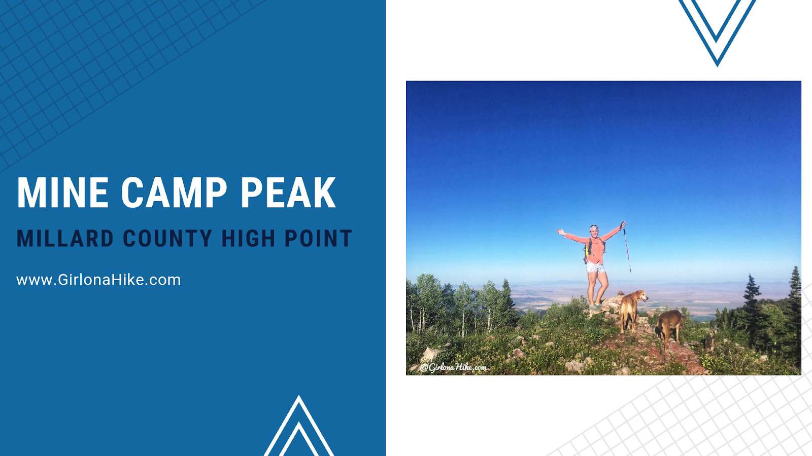
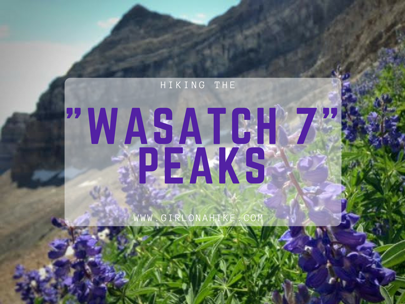
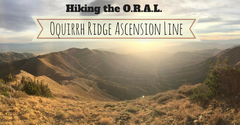
 Box Elder Peak (11,101 ft) is the large, well known peak in between


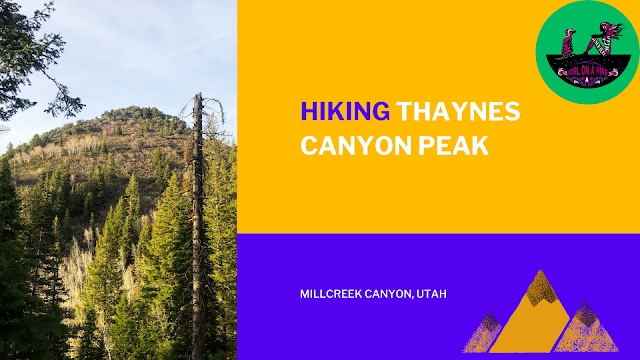
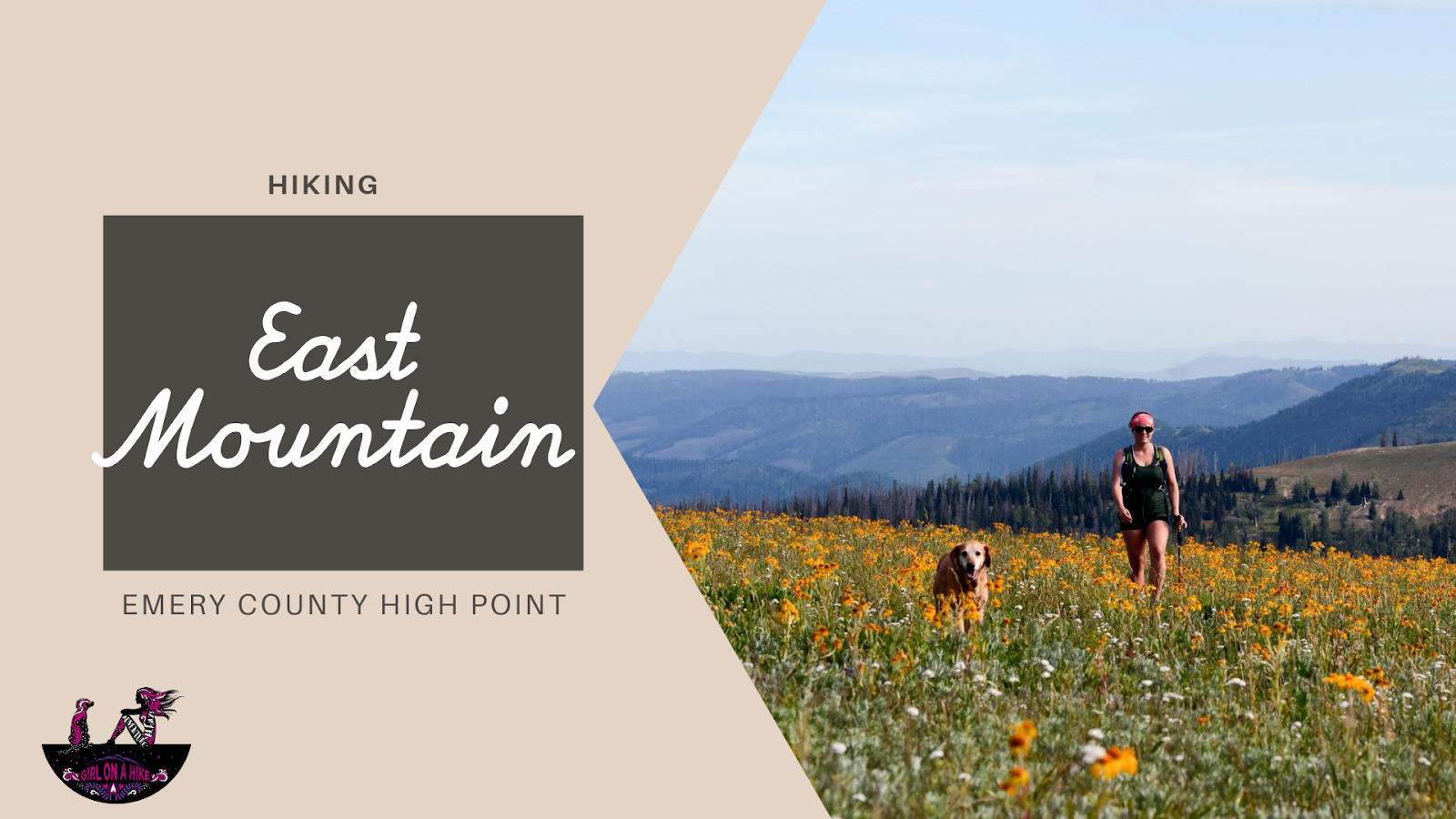
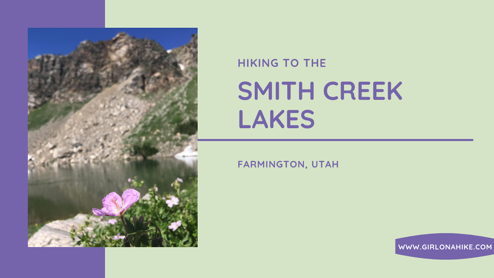
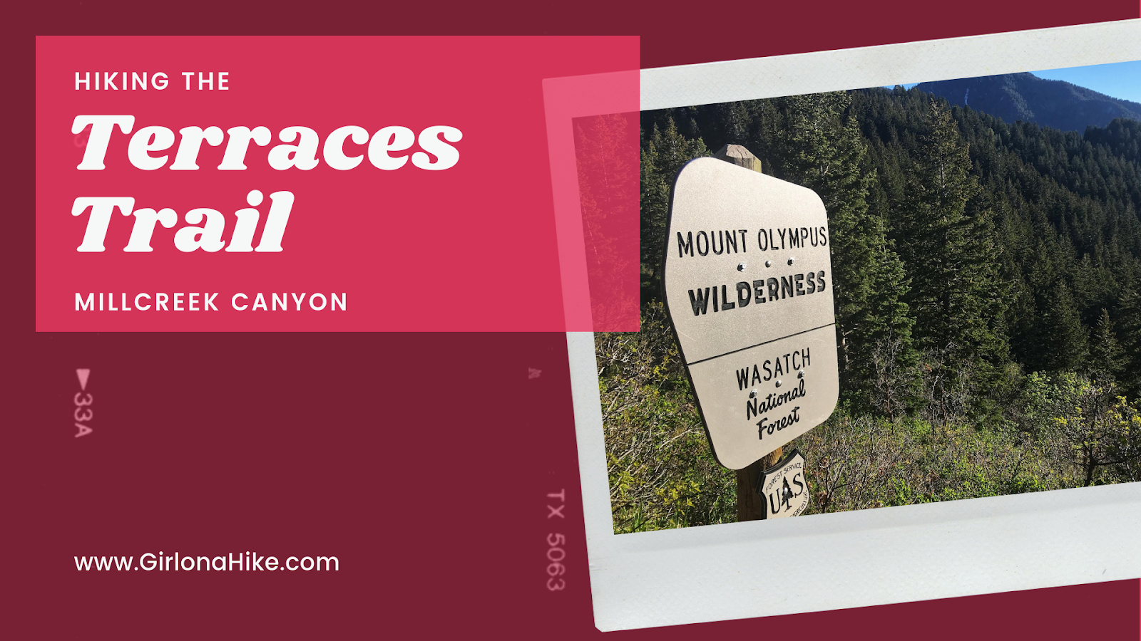
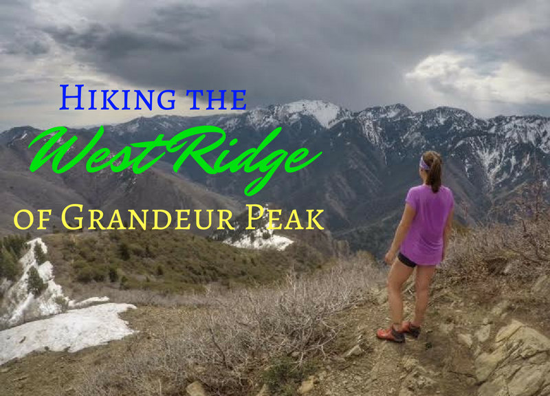
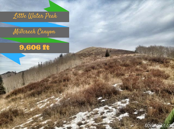
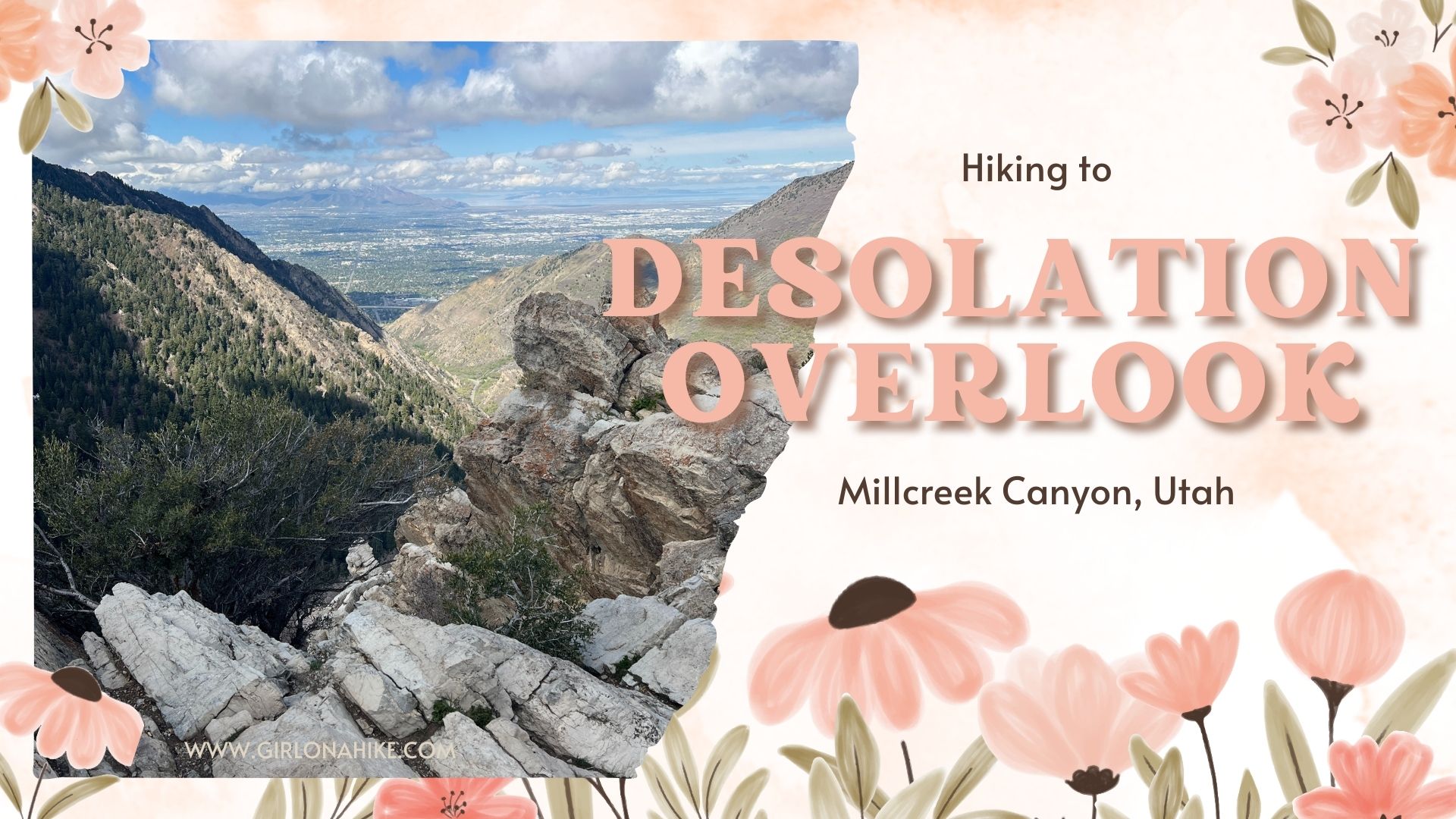
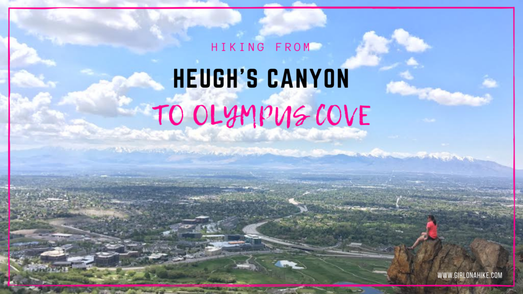
 Mt. Olympus (9,030 ft) is the prominent peak above Murray/Millcreek, Utah and is recognizable from anywhere in the SLC valley due to its two long, rocky spines on the West face.


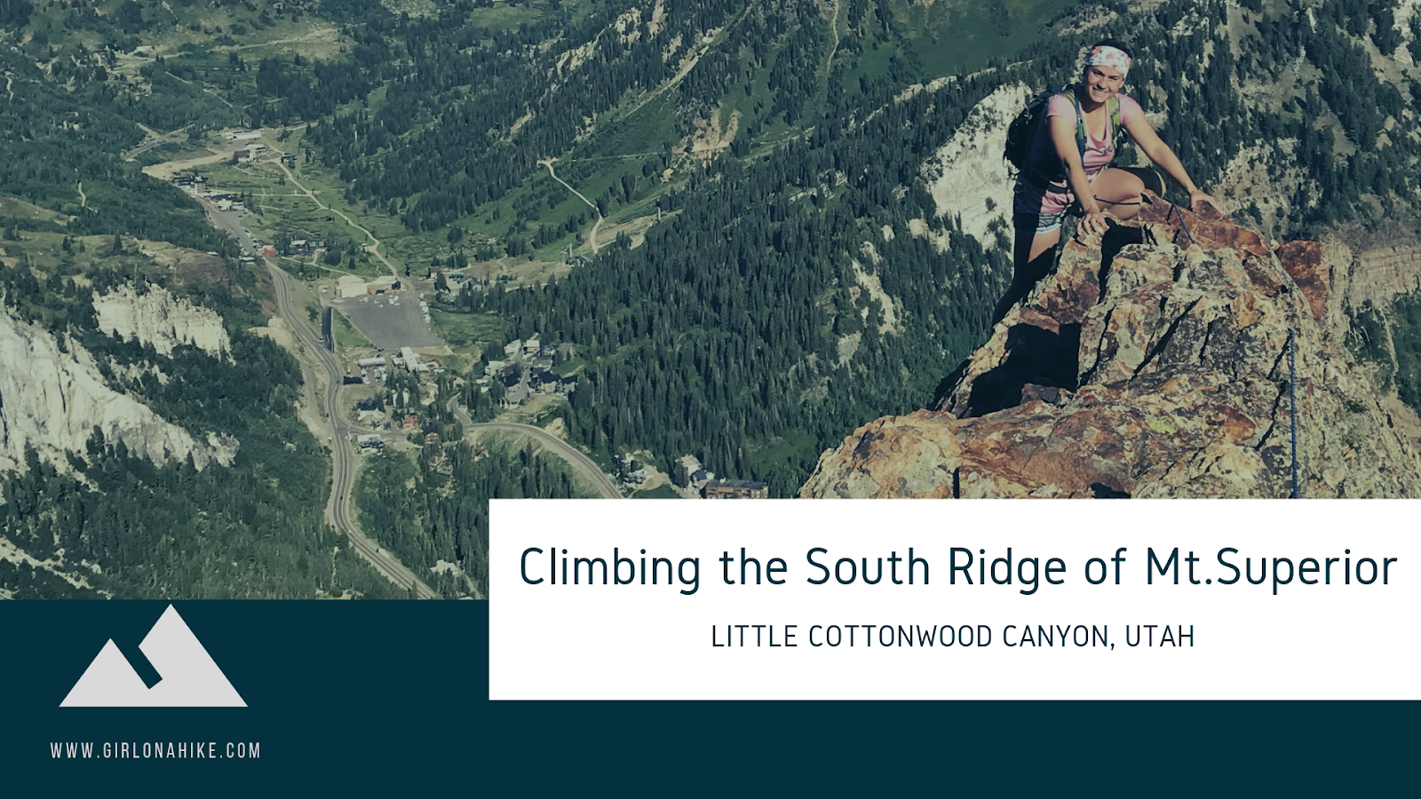
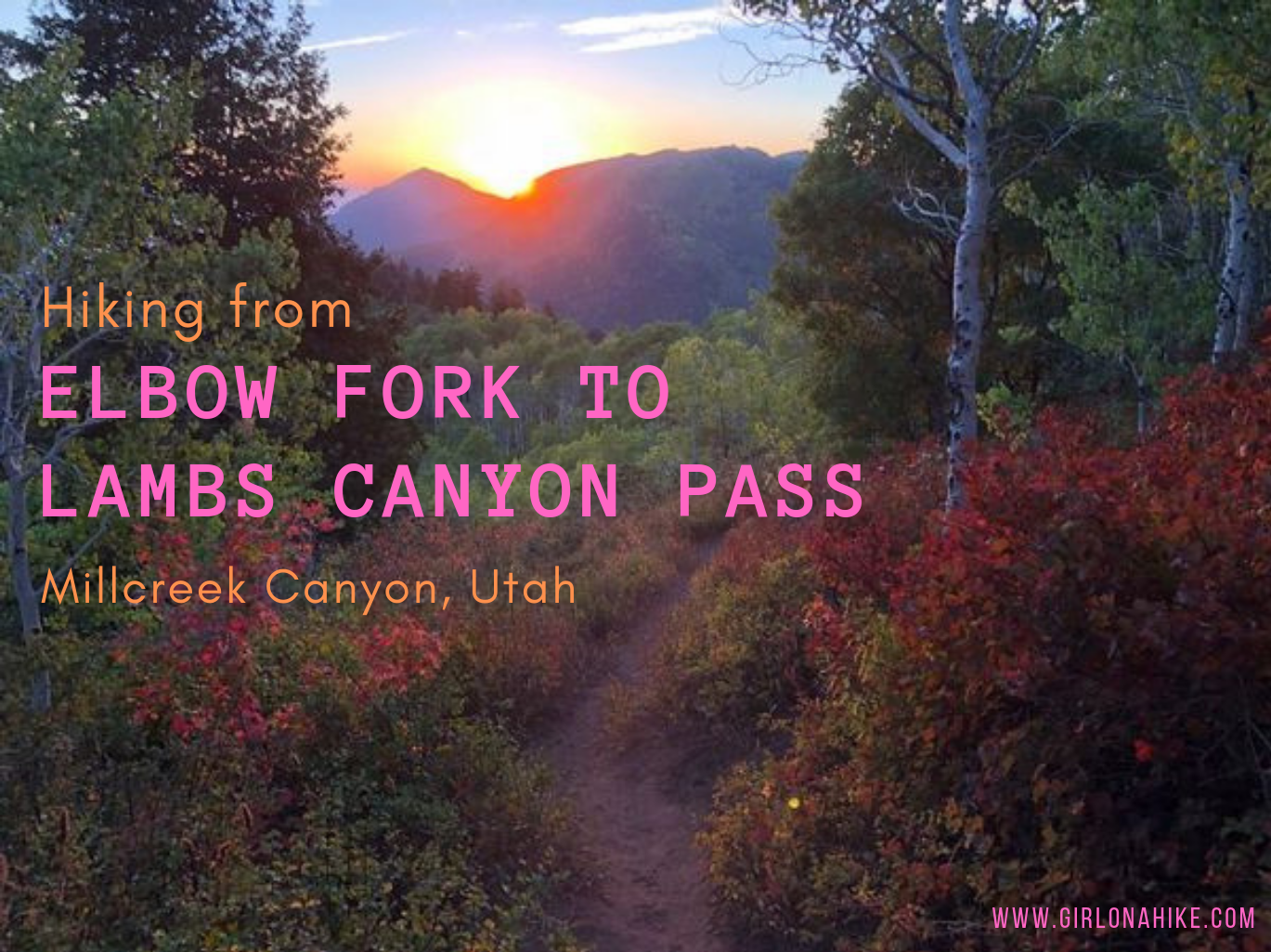
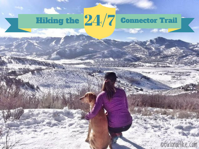
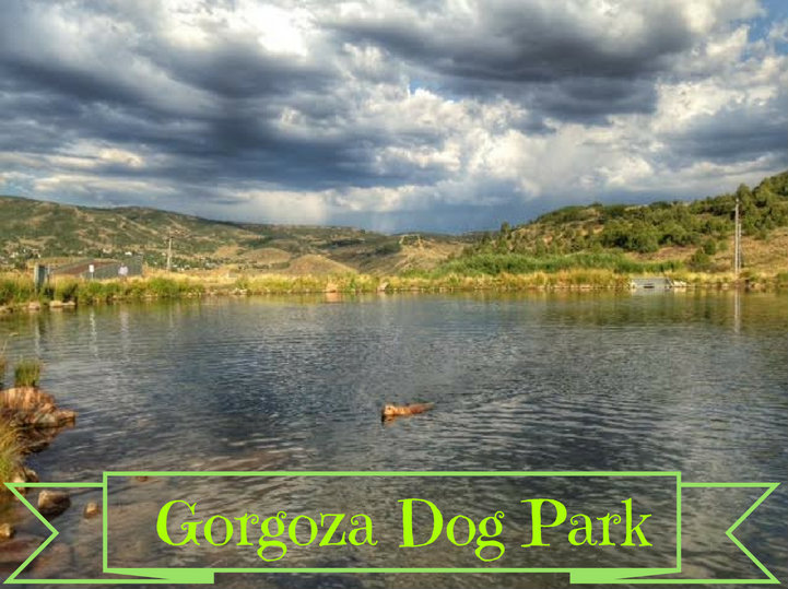
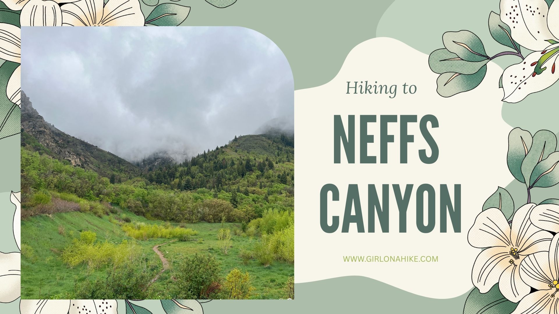
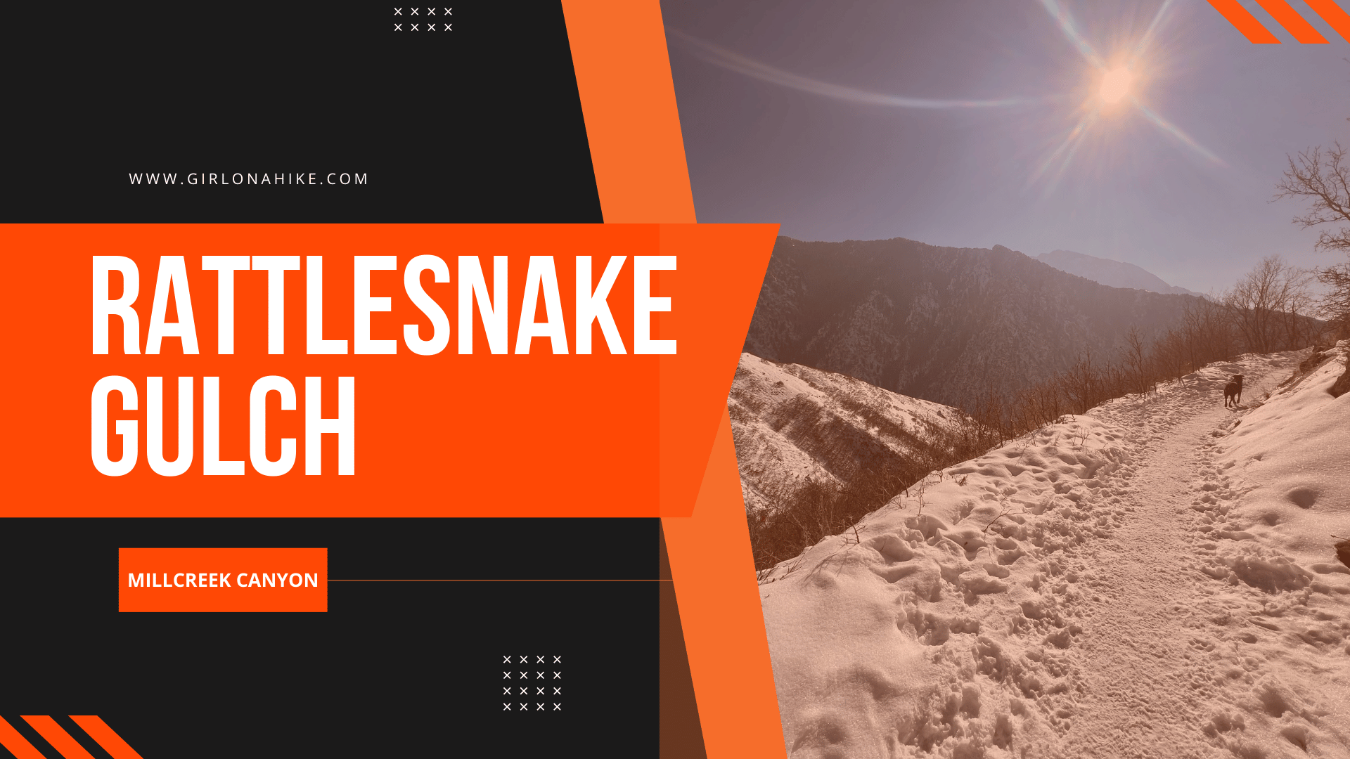
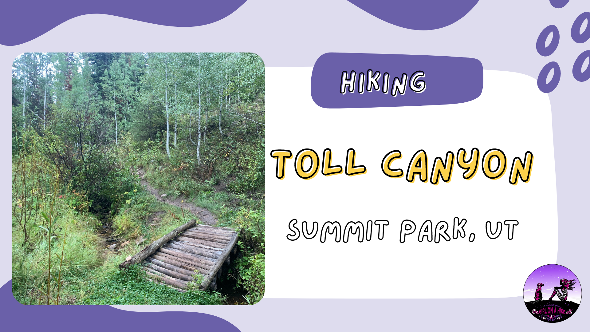
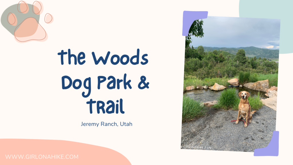
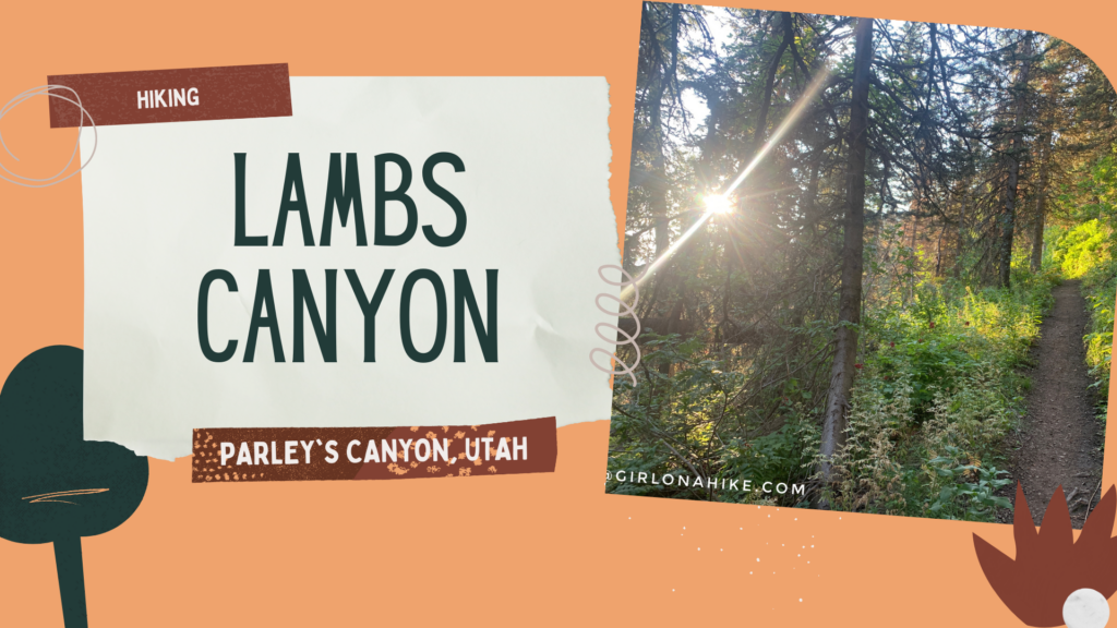 Lambs Canyon is located off I-80 after passing through Parley's Canyon, but before you reach Jeremy Ranch. Lambs Canyon is part of the county Watershed, and therefore, dogs are not allowed. There are multiple signs saying no dogs, and there was even a county sheriff patrolling the area as well, so don't even attempt to bring them up here. It's a bummer to leave dogs at home, but every once in awhile I want to do a hike that Charlie can't.


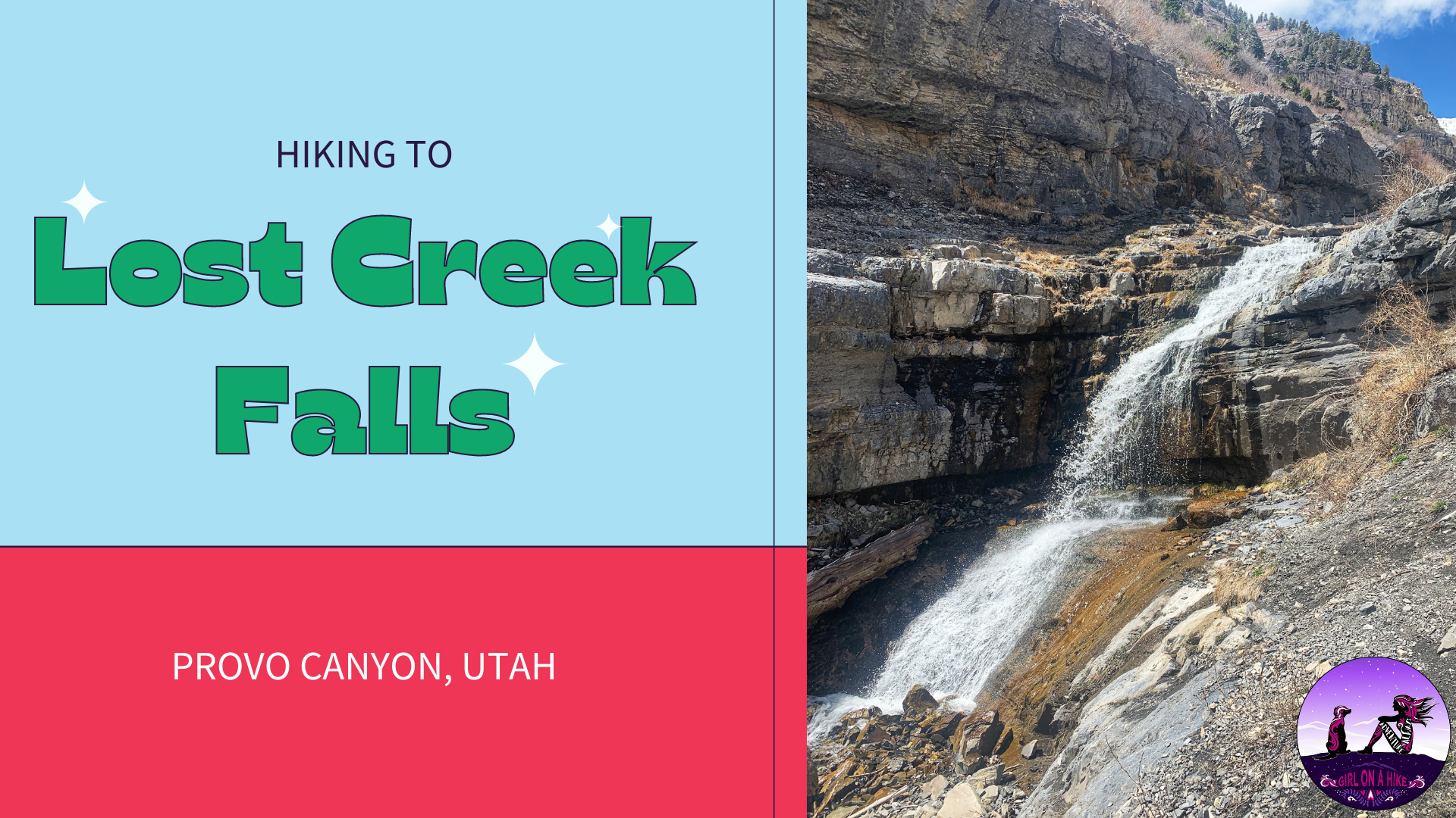
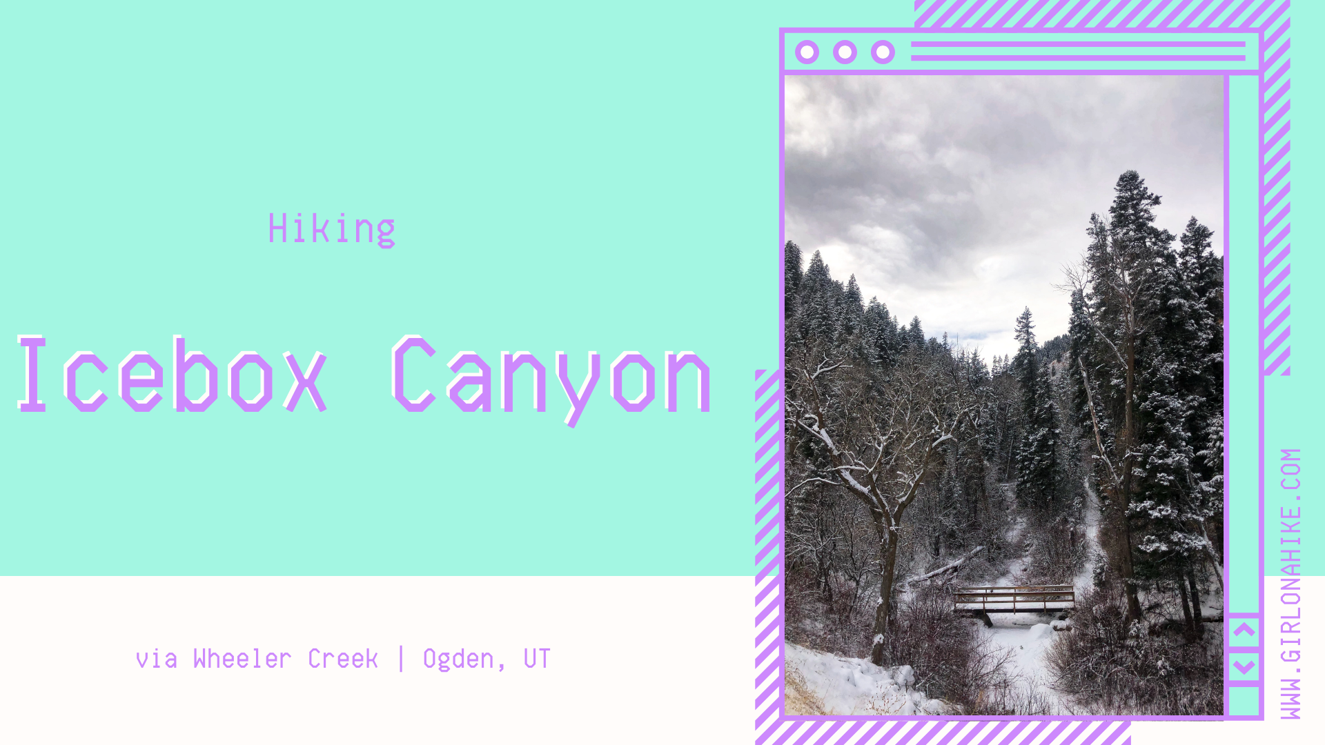
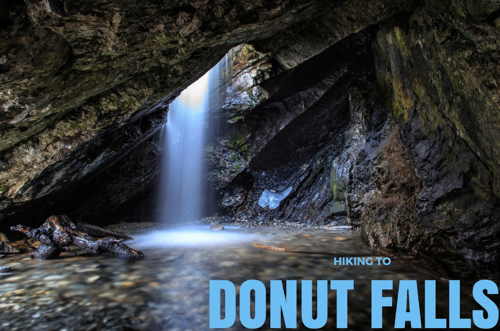
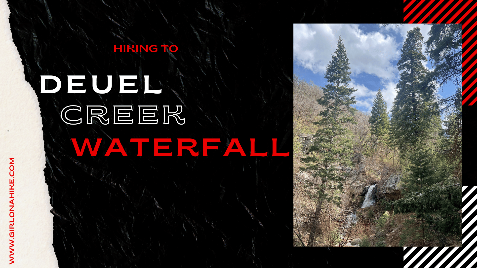
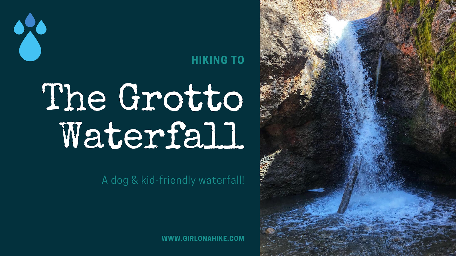
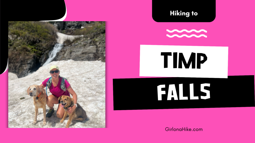
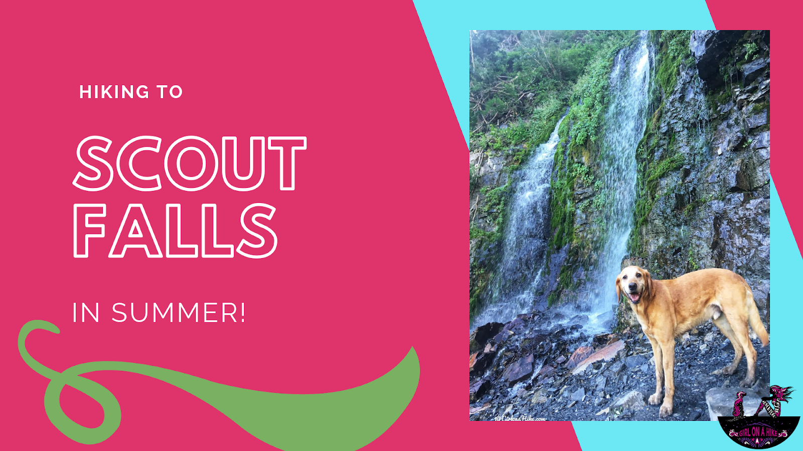
 Lost Creek Falls is located in Provo Canyon, Utah, and is a perfect Spring hike to check out this fun waterfall. It's great for dogs off leash to explore and cool off in the creek, plus great for kids of all ages. The "trail" starts out by following an old, narrow dirt road, and eventually you are left to hike steeply along Lost Creek.

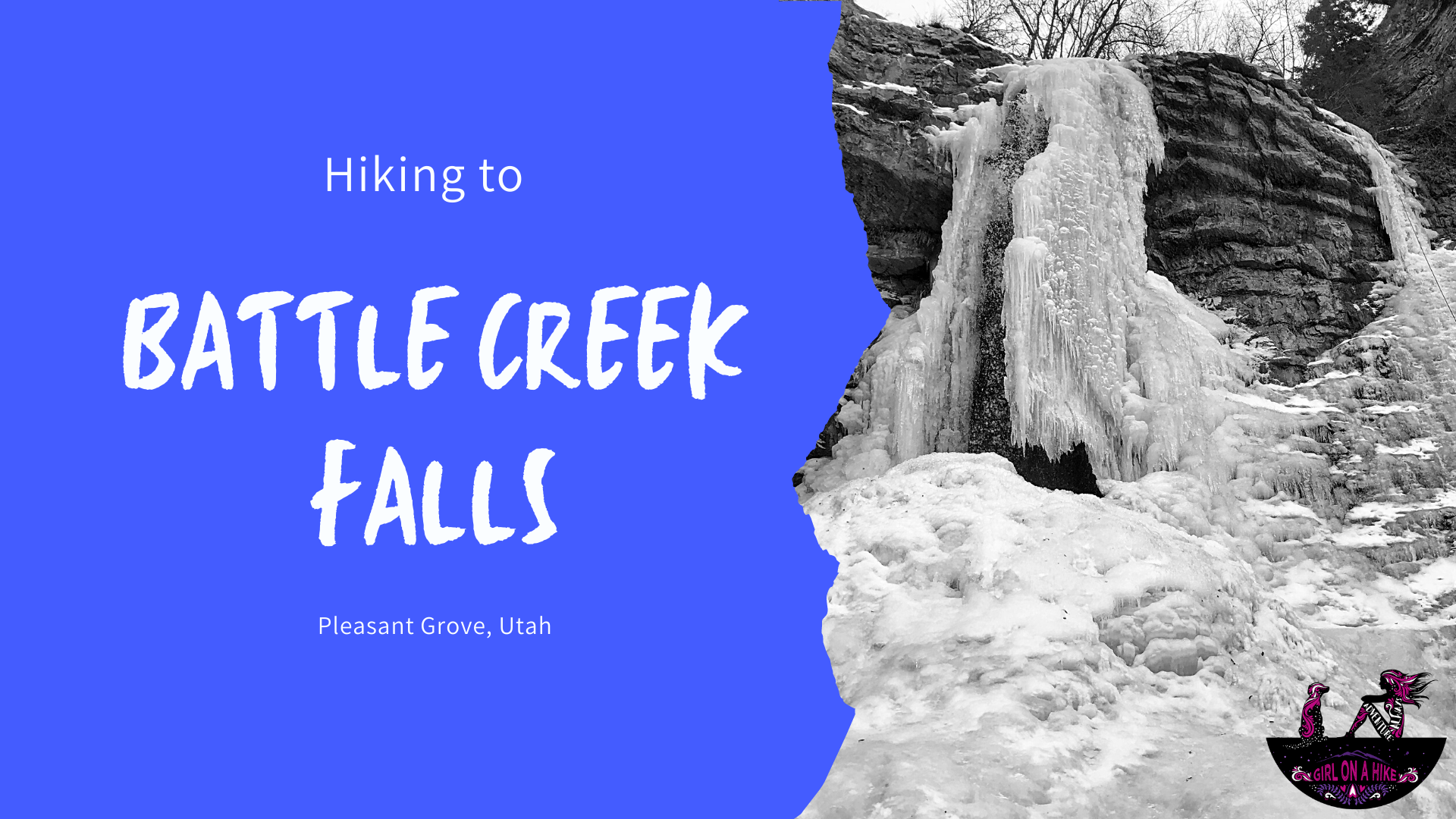
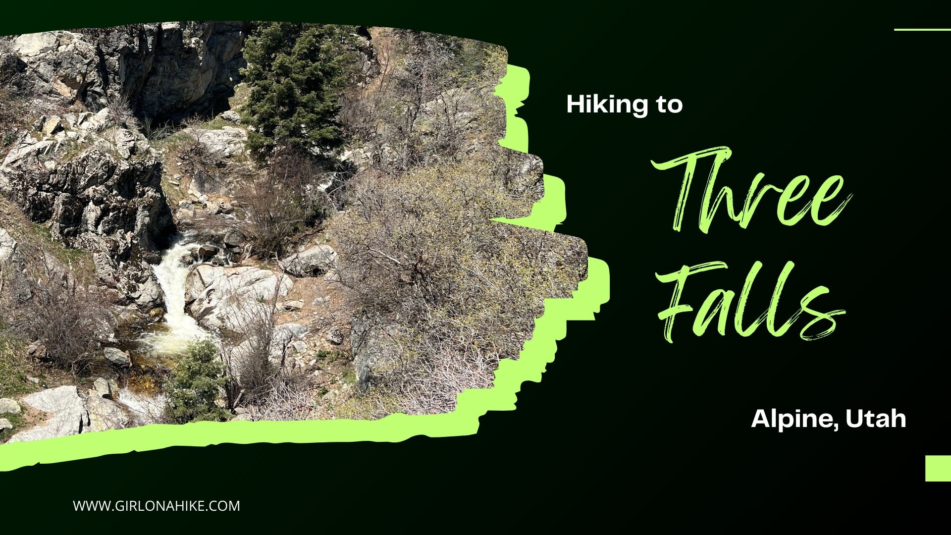
 Battle Creek Falls is another family friendly, dog friendly, and child friendly waterfall hikes that is enjoyable as more of a stroll rather than a "hike". It's short distance and elevation gain make this hike do-able for family visiting from out of town that want to see something pretty, yet not have to work hard to get there.