

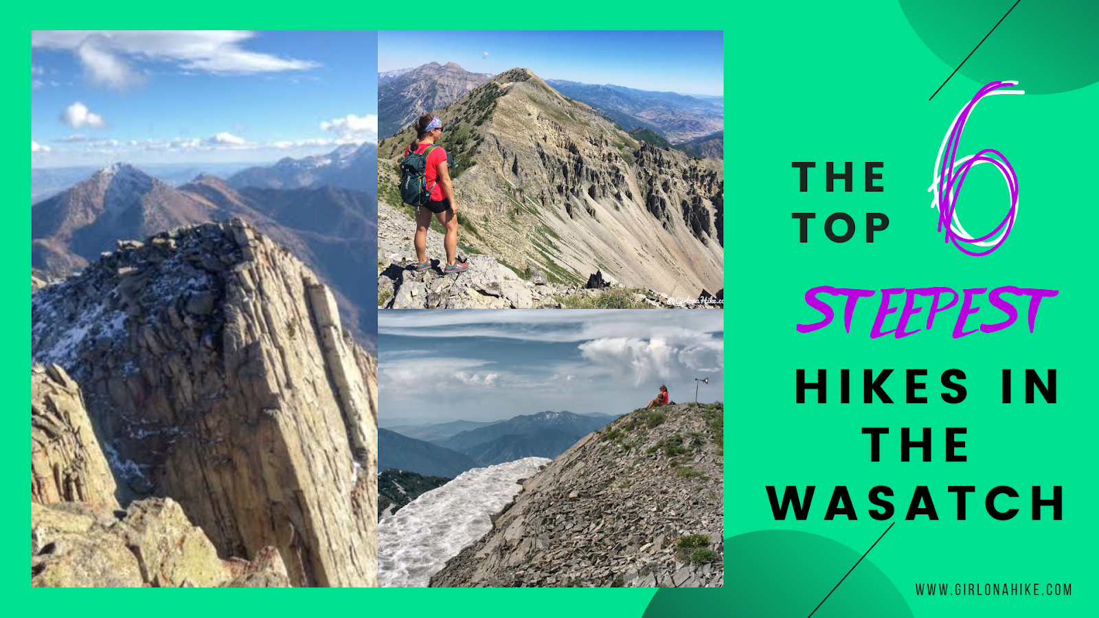
Check out the Top 6 Steepest Hikes in the Wasatch Mountains! The Wasatch Mountains are known for the amazing scenery, wildlife, easy access to wilderness, and #beUtahful trails. Included in that list are peaks - with over hundreds of peaks to hike, you're sure to find something for everyone. But what if you like a big challenge, and like hiking where most people don't go? Do you like pushing your legs until they turn to jelly? Breathing so hard you feel like you're about to pass out? If that sounds like fun to you (it is for me haha!) then keep reading.
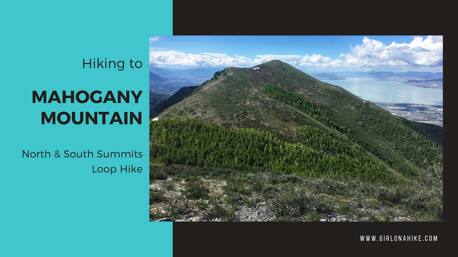
Mahogany Mountain (9,001 ft) is located in Utah County, and considered one of the steepest hikes in the Wasatch. In just 3.5 miles to the summit the trail gains 4400 ft! Mahogany Mountain often gets overlooked for Mt.Timpanogos, which towers over it to the East. Because of this, not many people don't know this mountain even has a name. Except for peak baggers that is. This is one of those hikes every peak bagger must do, and even with a lot of peak experience, this one is daunting due to the steepness.

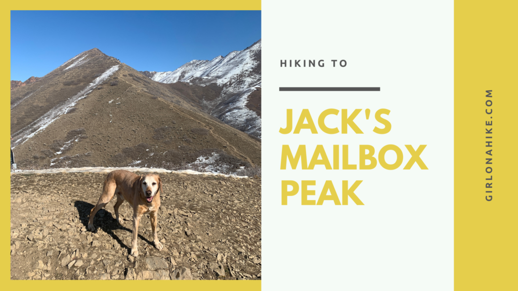
Jack's Mailbox Peak (6,475 ft) is short but sweet - not only will you get great views of the SLC valley to the West, the Wasatch mountains to the East and South, but also get a great leg workout in, and is a safe peak to summit during Winter when avalanche danger is high. Though this trail is very short, the elevation gain and time spent hiking will make you think it's longer.

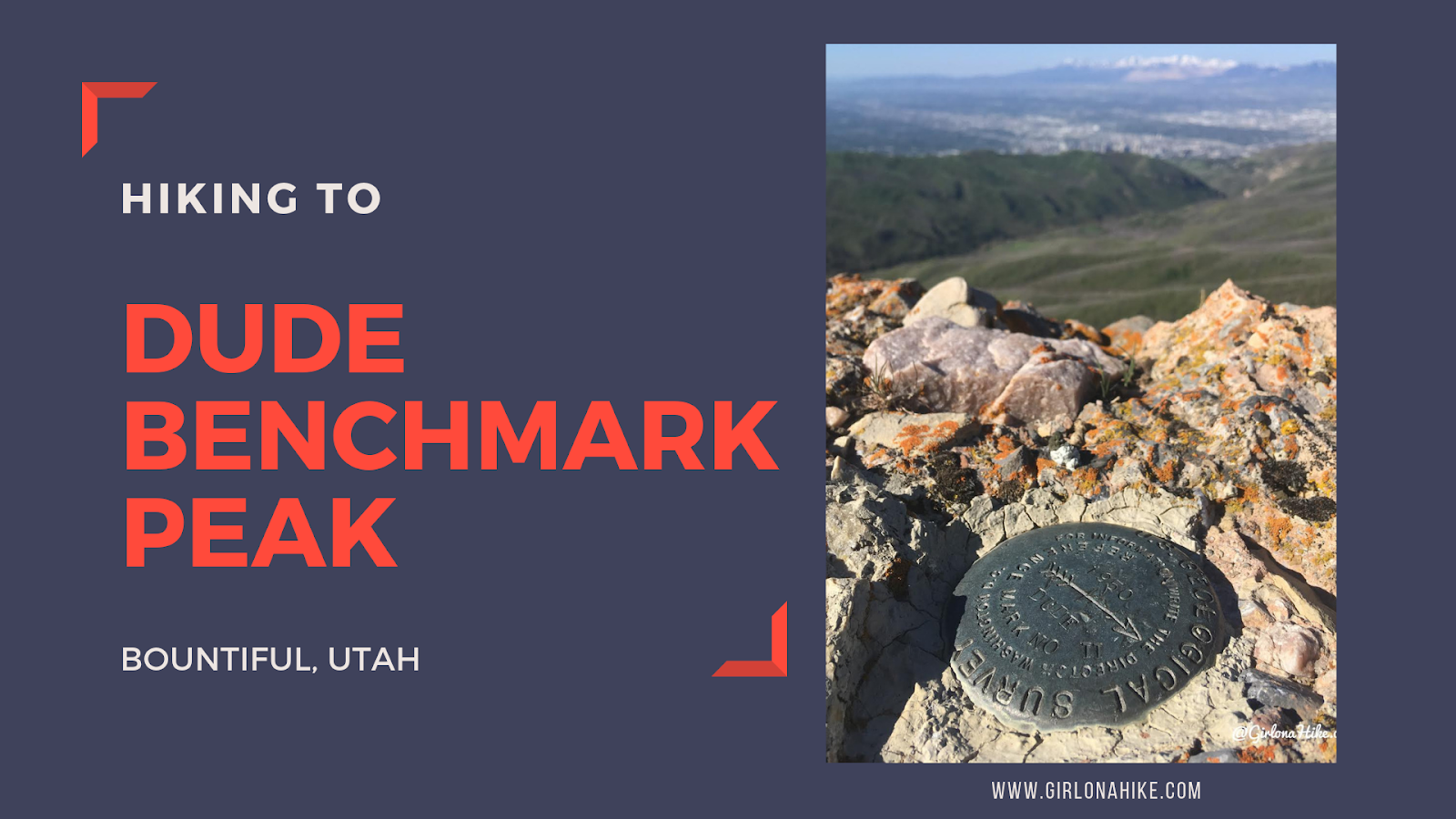
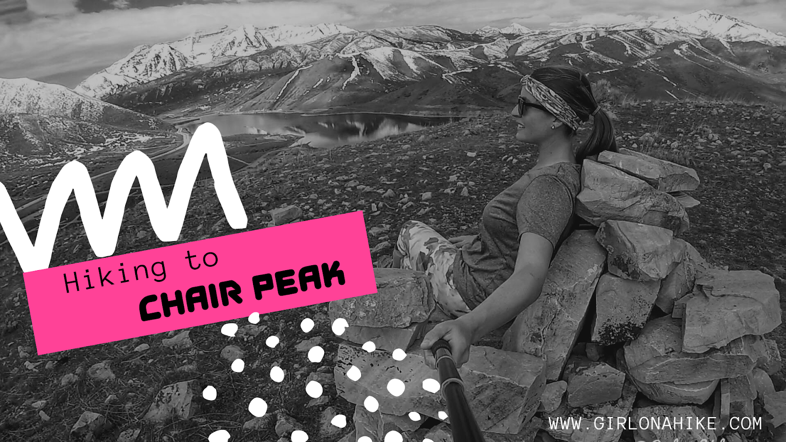
The Top 10 Peaks to bag in Salt Lake City, UT are right out our back door - no more than a 30-45 minute drive, these peaks are some of my favorites I've hiked over the years! Whether you are a newbie to peak bagging, or have years of experience, the Wasatch Front offers something for everyone. Start with the easy ones, then work your way up to some of the hardest and longest in the area. Of course there are several more peaks that some would argue should have made my list, but those are for you to decide which are your favorite. Set some goals, and start peak bagging this summer!
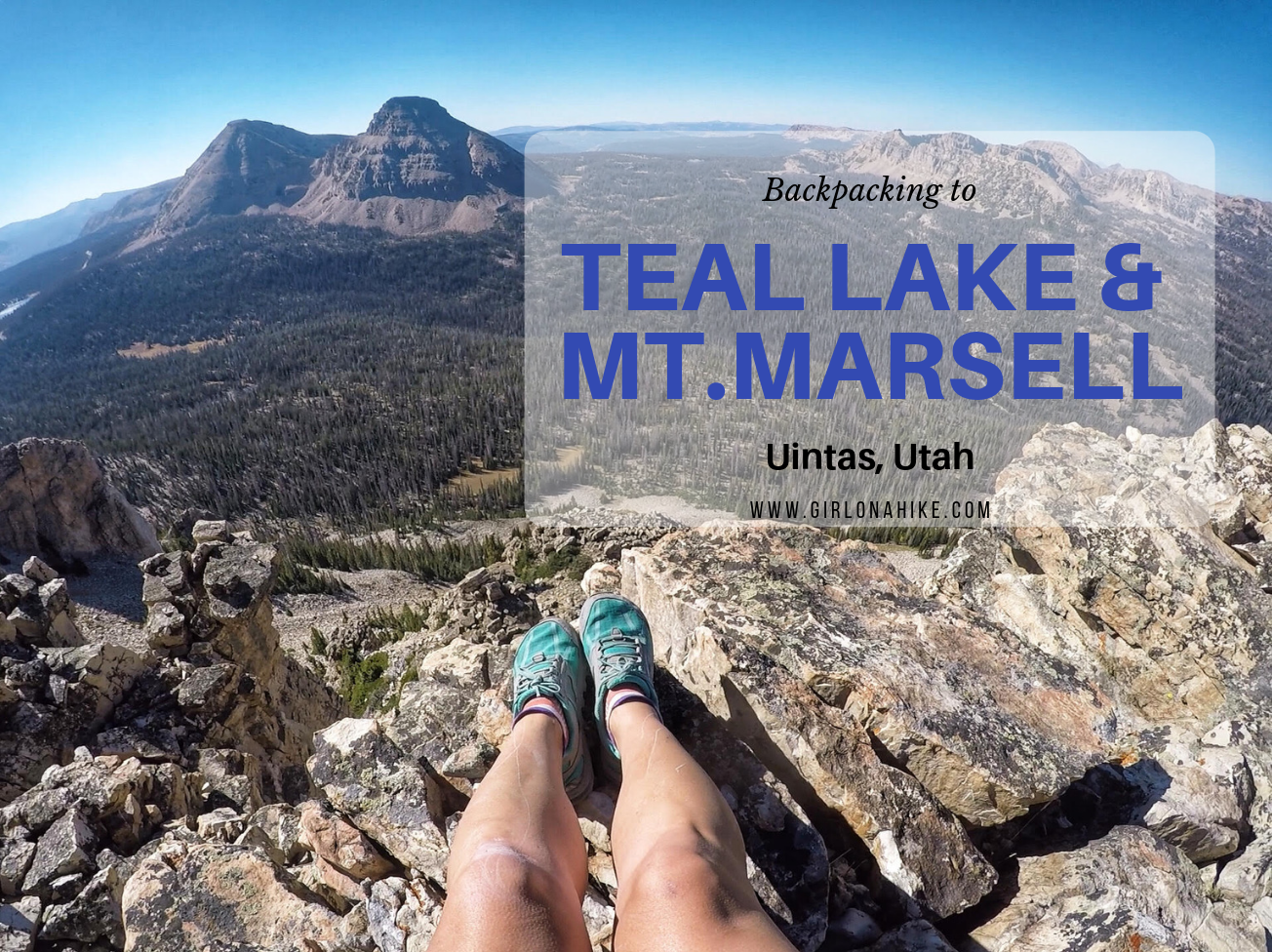
Teal Lake sits at an elevation of 10,400 ft, and is accessed via the popular Ruth Lake Trailhead. You will follow this trail for the first mile, and then after that there is no trail. You should be comfortable with a little route finding, and hiking off trail. The nice thing is that Teal Lake is a mere 2.2 miles, so you really only have to hike off trail for 1.2 miles. You'll pass a few unnamed ponds, Jewel & Naomi Lakes, then reach Teal Lake. There are several nice campsites at Teal Lake, and fishing is plentiful.
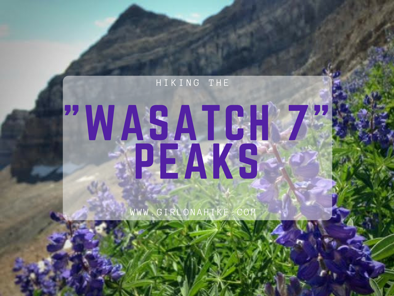
The "Wasatch 7" Peaks are the seven major peaks that line Utah Valley. They are all challenging peaks that require a full day of hiking - some with route finding, some with a perfect trail. Most of these peaks also have a lot of elevation gain, and therefore are not for the beginner hiker. Because the Wasatch 7 Peaks are all over 10,000 ft, they are typically only accessible in summer months, when the dirt roads are open, and the trails are free of snow - this only leaves a few months to summit all 7 peaks. Most people take a few years to complete all summits - others have completed them in one summer. No matter how much time you have to dedicate to completing all of them, they surely live up to Utah's motto - "Life Elevated!"