logo dark logo
  • Dog Friendly Lists
  • Find a Hike
  • Discount Codes
  • Fav Gear
  • About
    • Testimonials
    • Awards & Features
Mobile Logo
  • Dog Friendly Lists
  • Find a Hike
  • Discount Codes
  • Fav Gear
  • About
    • Testimonials
    • Awards & Features
Top
Home  >  2018  >  September
Uintas

Backpacking to Teal Lake & Mt. Marsell, Uintas

Backpacking

Backpacking to Teal Lake & Mt. Marsell, Uintas

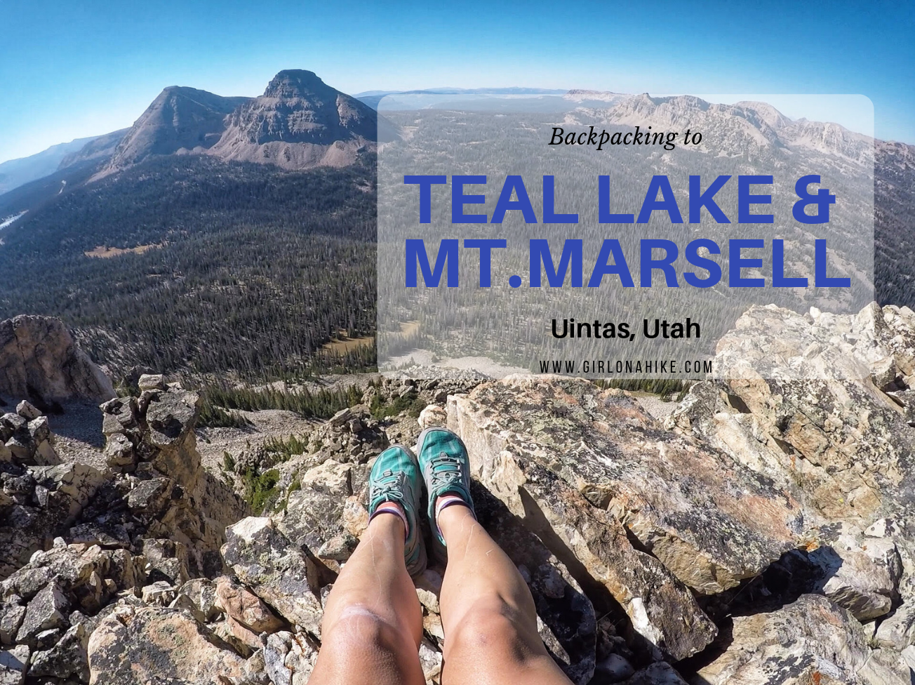
Teal Lake sits at an elevation of 10,400 ft, and is accessed via the popular Ruth Lake Trailhead. You will follow this trail for the first mile, and then after that there is no trail. You should be comfortable with a little route finding, and hiking off trail. The nice thing is that Teal Lake is a mere 2.2 miles, so you really only have to hike off trail for 1.2 miles. You'll pass a few unnamed ponds, Jewel & Naomi Lakes, then reach Teal Lake. There are several nice campsites at Teal Lake, and fishing is plentiful.

Continue Reading

Girl On A Hike
September 26, 2018
Central Utah

Hiking from Elbow Fork to Lamb’s Canyon Pass

Hiking

Hiking from Elbow Fork to Lamb's Canyon Pass

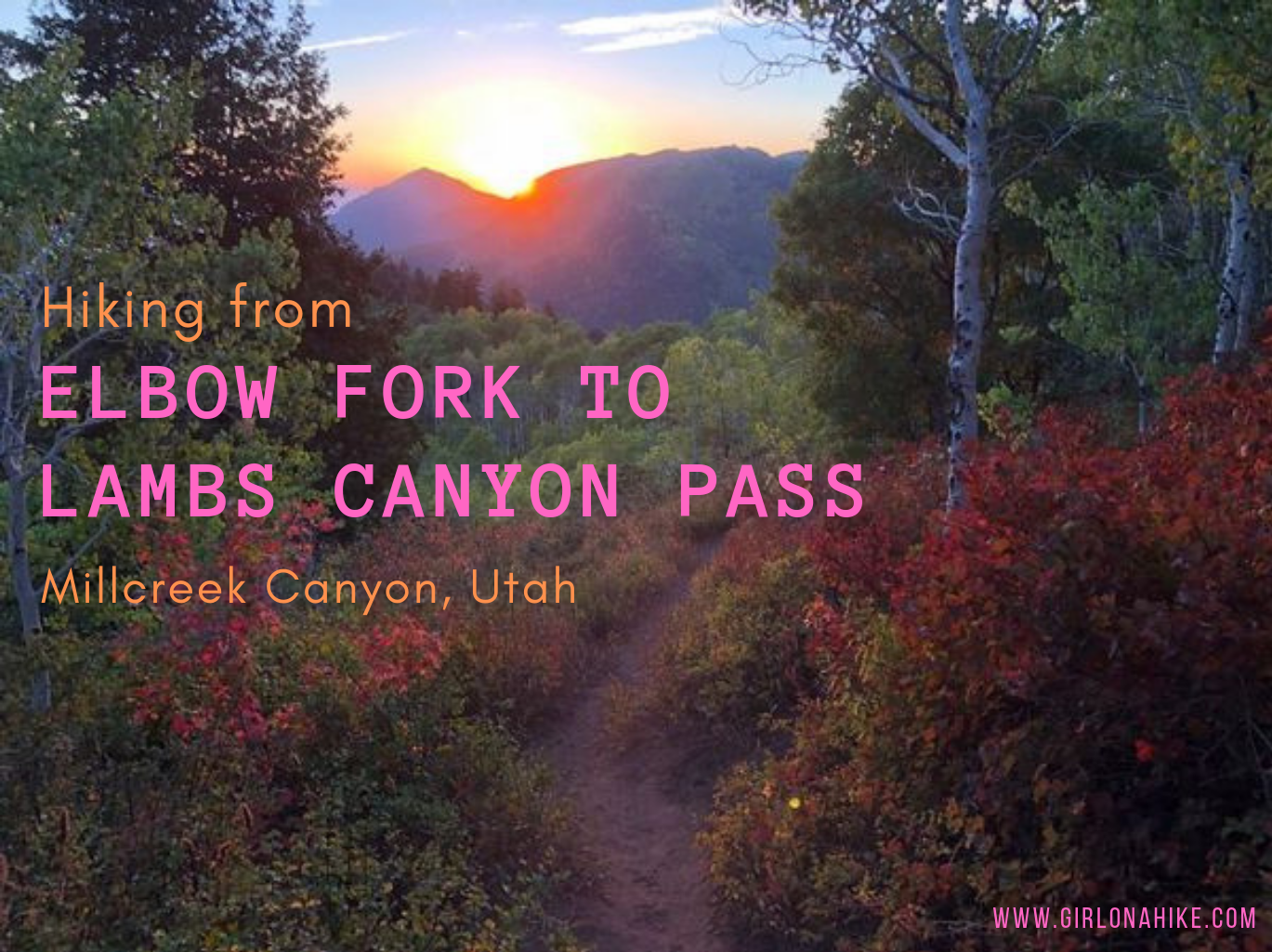
Elbow Fork in Millcreek Canyon is a popular trailhead for Mt. Aire, the Pipeline, and for accessing Lambs Canyon Pass, the dog-friendly way. Many people chose to hike up to Lamb's Canyon Pass via Lamb's Canyon, however that section of trail is part of the SLC Watershed, and dogs are not allowed.

Continue Reading

Girl On A Hike
September 17, 2018
Central Utah

Guest Post: How a Dog Will Change Your Adventure Life… Forever

Hiking

How a Dog Will Change Your Adventure Life... Forever

How a Dog Will Change Your Adventure Life... Forever

By Zachary Kenney 

Continue Reading

September 10, 2018
Uintas

Backpacking to Gilbert Lake & Peak, Uintas

Backpacking

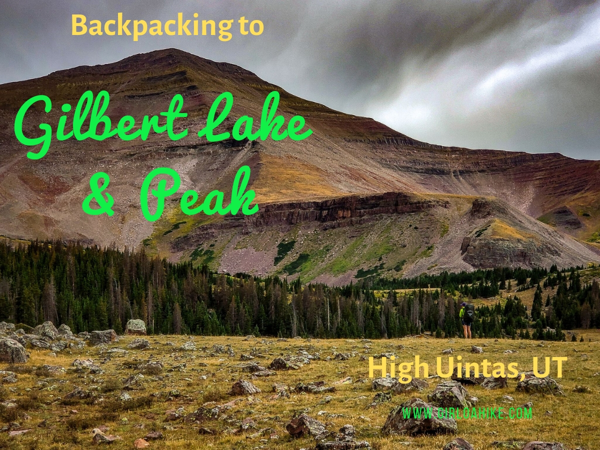
Gilbert Lake is located in the High Uintas Wilderness on the East end of the range, with Gilbert Peak (13,442 ft) being one of Utah's "13ers" (a peak above 13,000 ft). It is the 3rd highest peak in the state, and the second highest county high point, and can be access by several drainages, with Henry's Fork being the most popular, however we accessed it from Gilbert Lake. The trail to Gilbert Lake follows the West Beaver Creek trail for 9.2 miles before reaching the basin which has four lakes total, great campsites, lots of wildlife, and of course, fairly "easy" access to the peak.

Continue Reading

Girl On A Hike
September 6, 2018
Search Trail Guides
About Us
Let’s Connect!
Social Icons
Trending Posts
  • Hike to the Bear Canyon Suspension Bridge, Draper, UT
    Hiking
    Hike to the Bear Canyon Suspension Bridge, Draper, UT

  • Hiking
    Hiking the Three Falls Trail – Alpine, Utah

  • Hiking
    Top 10 Peaks to Bag in Salt Lake City

  • Hiking
    Hiking the Indian Trail in Ogden

error: Content is protected
Skip to content
Open toolbar Accessibility Tools

Accessibility Tools

  • Increase TextIncrease Text
  • Decrease TextDecrease Text
  • GrayscaleGrayscale
  • High ContrastHigh Contrast
  • Negative ContrastNegative Contrast
  • Light BackgroundLight Background
  • Links UnderlineLinks Underline
  • Readable FontReadable Font
  • Reset Reset